




| TAKAHIK River Valley Hikers |
| Home Scheduled Hikes Pictures Membership Links Trails & Waterfalls In Memory Of Scholarships Traveling Arkansas |
| TRAILS & WATERFALLS |
Trails & Bushwhacks We Hike & Waterfalls We Visit
Including Topo Maps, GPS Locations (NAD83/WGS 84), Pictures
GPS Datum used is Decimal Degrees (N35.34567°, W93.45678° - The N & W are omitted on GPS locations)
 |
 |
 |
 |
 |
 |
 |
Many of the trails we hike are a results of existing trails and places found in some of Tim Ernst's Guidebooks (above). If there are existing GPS locations of waterfalls, etc. we use those after verification. Tim's guidebooks can be purchased at your local bookstore or you can order direct from Tim at www.timernst.com/guidebooks.html
 |
 |
 |
 |
|
 |
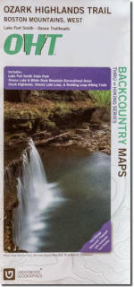 |
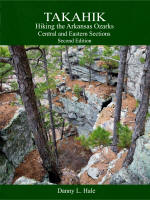
Many other resources (above) can be purchased at your local bookstore, Amazon or Ozark Highlands Trail Association. PLEASE NOTE INFORMATION ON CAVE CLOSURES IN ARKANSAS: CLICK HERE |
||||||