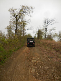
Driving up on Pilot Knob |
Pilot Knob
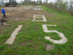
B-15 (Made out of conc.)
_small.jpg)
Picture of B-15 Bomber |
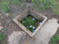
Might be old septic tank for the
Pilot Knob Firetower? |
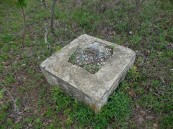
One of the conc. pedestals for the
Pilot Knob Firetower |
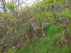
Rock retaining wall near old
firetower. |
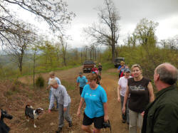
Parking Area |
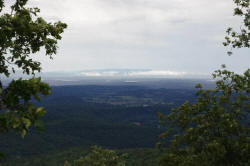
View South from Pilot Knob
(Arkansas River) |
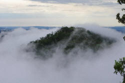
View from Pilot Knob |
_small.JPG)
View Southeast from Pilot Knob
Mt. Nebo & Cooling Tower ANO |
|
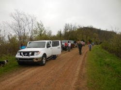
Parking Area |
Pilot Rock
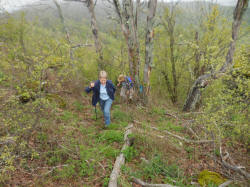
Accessing the top of Pilot Rock |
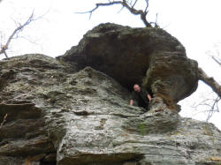
Accessing south end. |
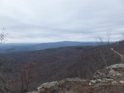
View North from Pilot Rock |
_small.JPG)
View Southwest from Pilot Rock
Mt. Magazine |
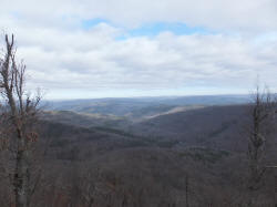
View West from Pilot Rock |
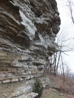
Bluff Line Pilot Rock |
_small.JPG)
Cave
35.58235°, 93.24304° |
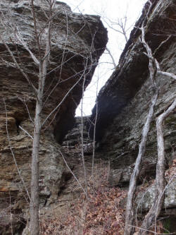
Access Up West Side
35.58198°, 93.24262° |
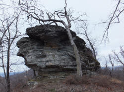
South End Pilot Rock |
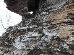
South End Pilot Rock |
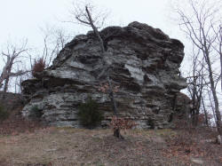
North End Pilot Rock |
|
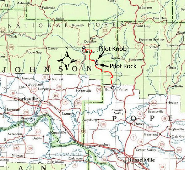
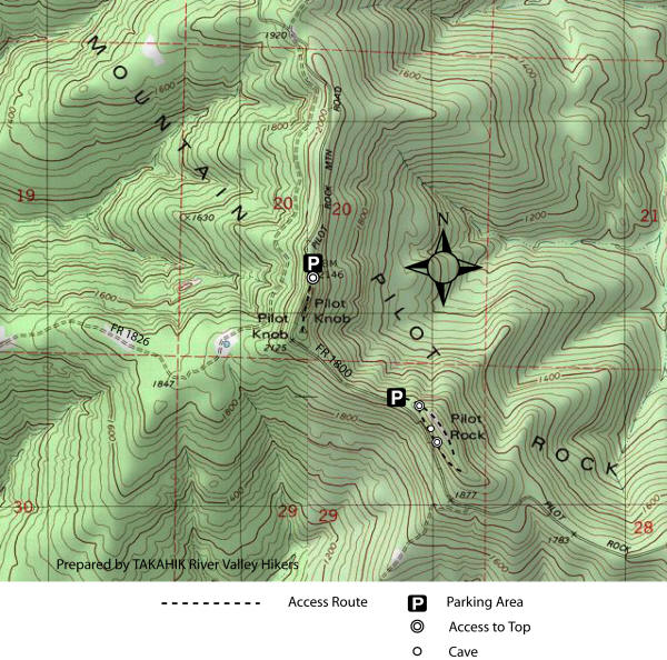
Location Map |
Driving Directions:
From
Russellville
(I-40) take Hwy. 7 north through Dover, 12.9 miles to Hwy. 164. Turn
left (west) and go 4.7 miles to
Pilot Rock Mountain Road (FR 1800). Turn right (north) and at 6.8 miles
(becomes Johnson County Road 4891); continue at 7.8 miles (intersection
of FR 1802) verge left and at 9.2 miles park at Pilot Rock;
continue and at 9.9 miles park at Pilot Knob; continue and at 17.8 miles
intersection of Hwy. 123.
From Pelsor
(Sand Gap) take Hwy. 123 and at 12.9 miles is Haw Creek Campgrounds;
continue and at 16.8 miles is Pilot Rock Mountain Road
(Johnson County Road 4891 and FR 1800). Turn left (south) and go 7.9
miles park at Pilot Knob; continue and at 8.6 miles park at Pilot Rock.
From Hagarville
(Intersection of Hwy. 123 and 164) take Hwy. 123 north 10.6 miles to
Pilot Rock Mountain Road (Johnson County Road 4891 and FR 1800);
Turn right (south) and go 7.9 miles park at Pilot Knob; continue and at
8.6 miles park at Pilot Rock. |
|
