.jpg)
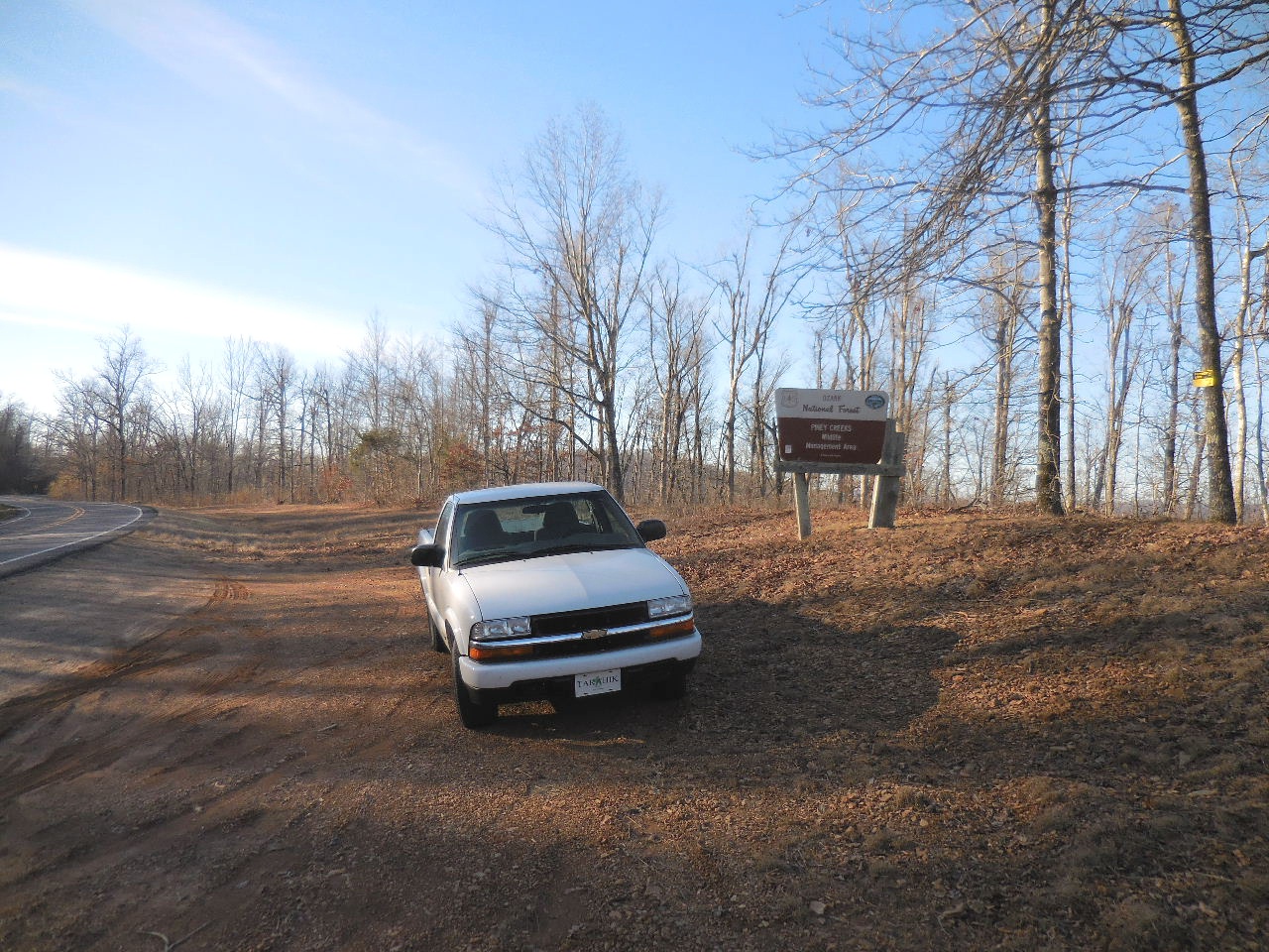
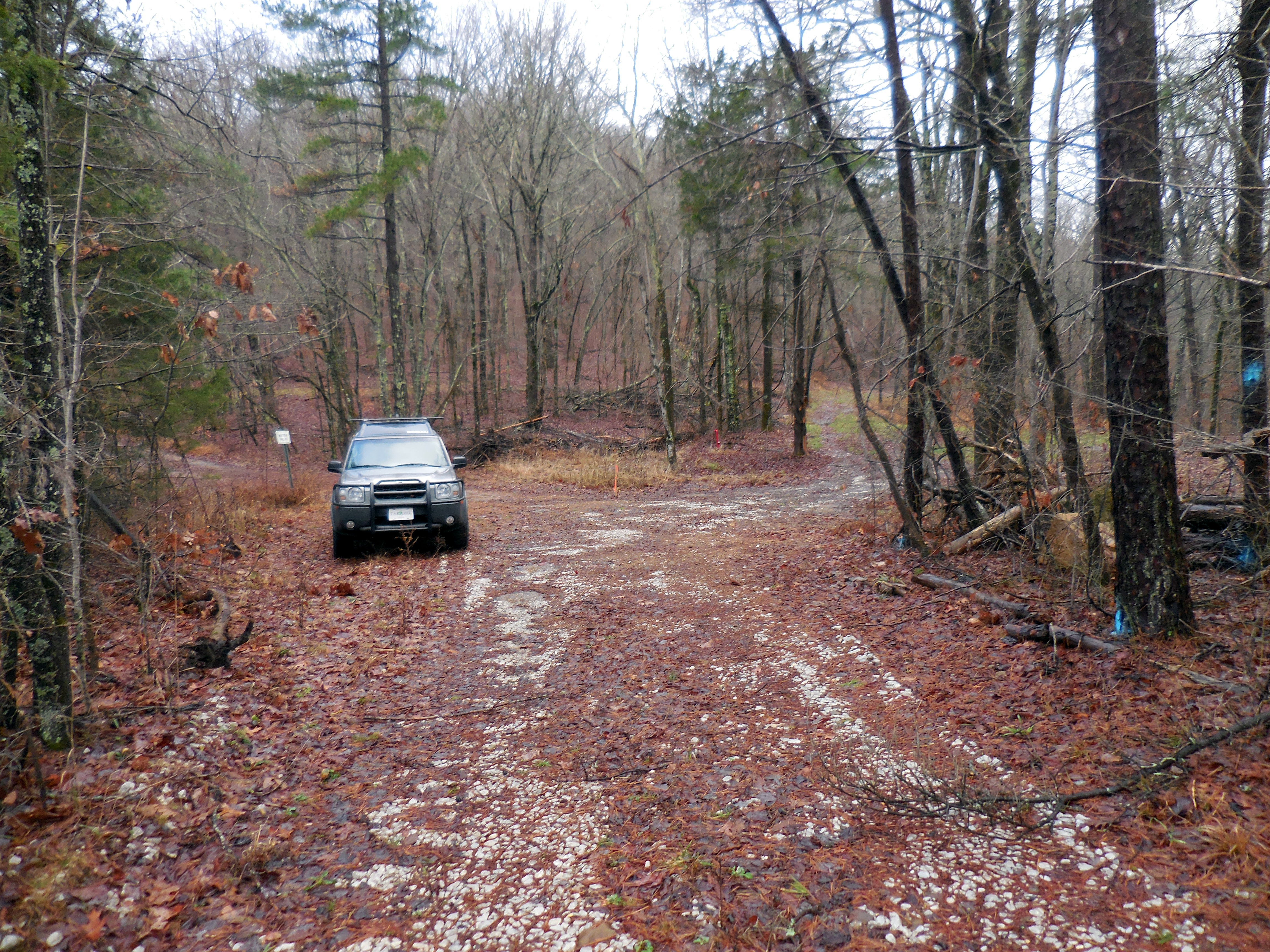
North Parking Area along Hwy. 7
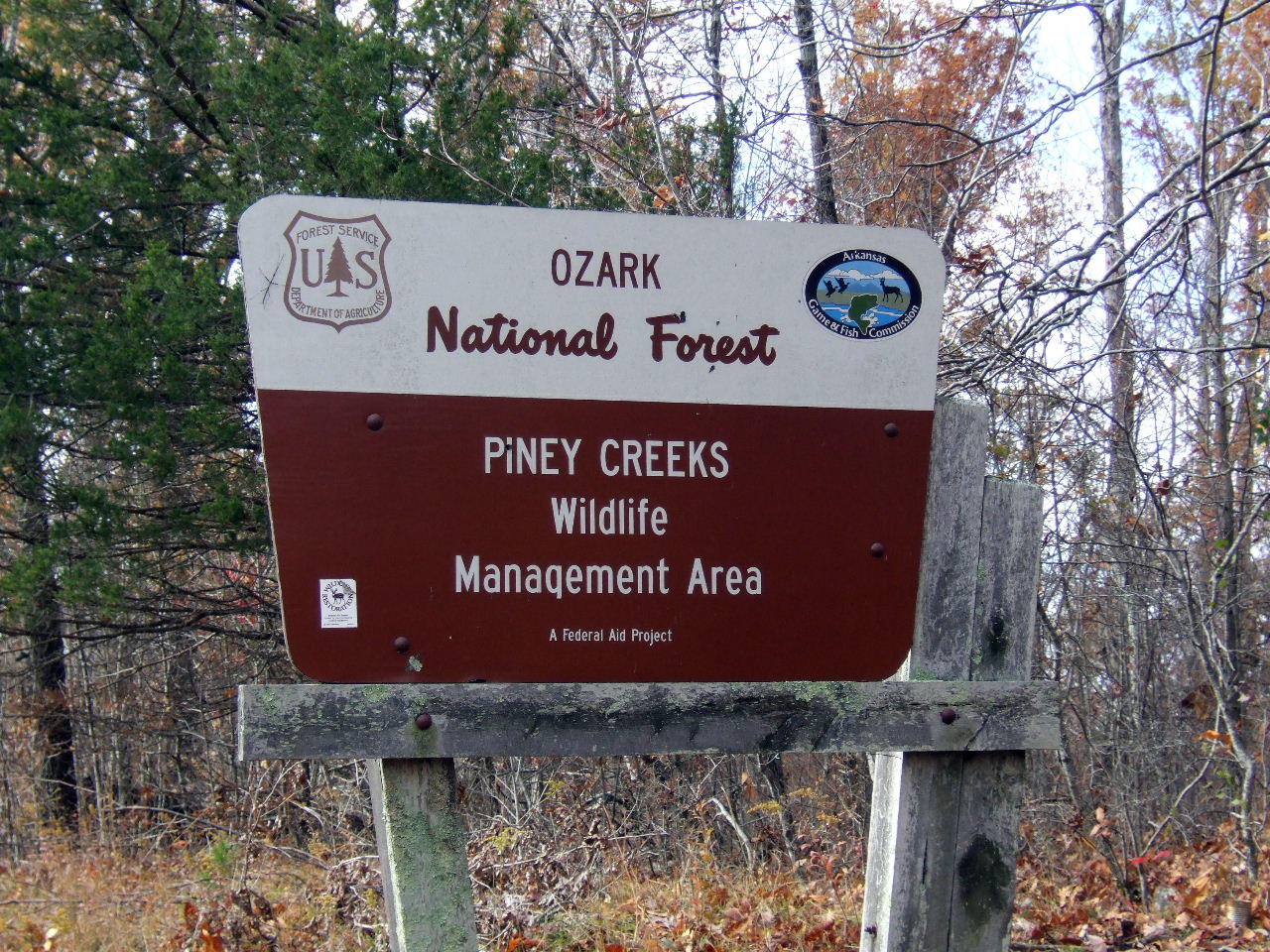
Sign
35.71632°, 93.09876°
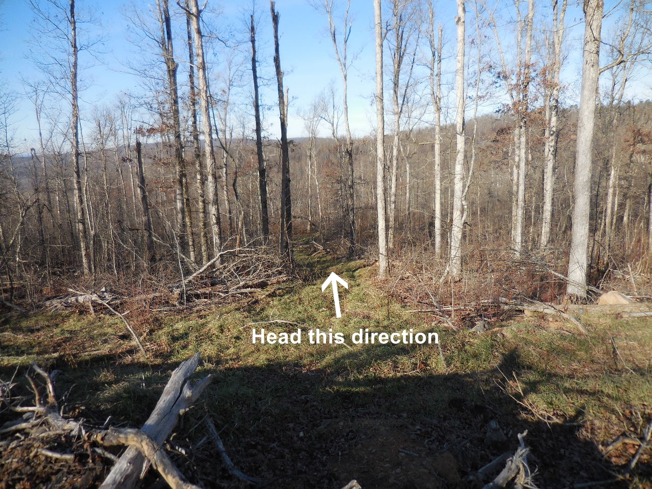
New logging road heads west

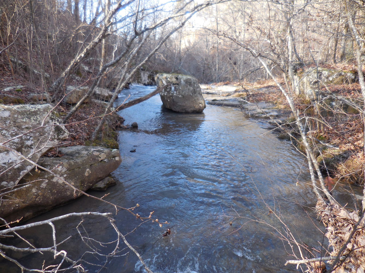
Head down to creek and follow down stream
Native American Falls just on other side of rock
(It is best to cross to south side of creek and
following top of bluff to access down)
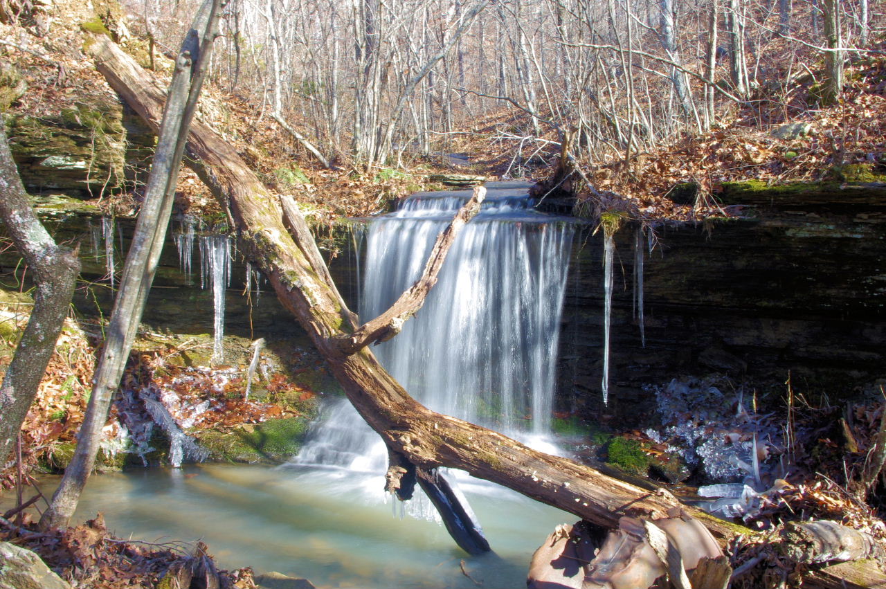
This is the top of Native American Falls
(Following along top of bluff to the left and go
approximately 200 ft. and find your way down)
35.71345°, 93.10533°

Before heading down there is a nice spot
here to take a few pictures.
American Native Falls from south side
WF #1 Native American Falls


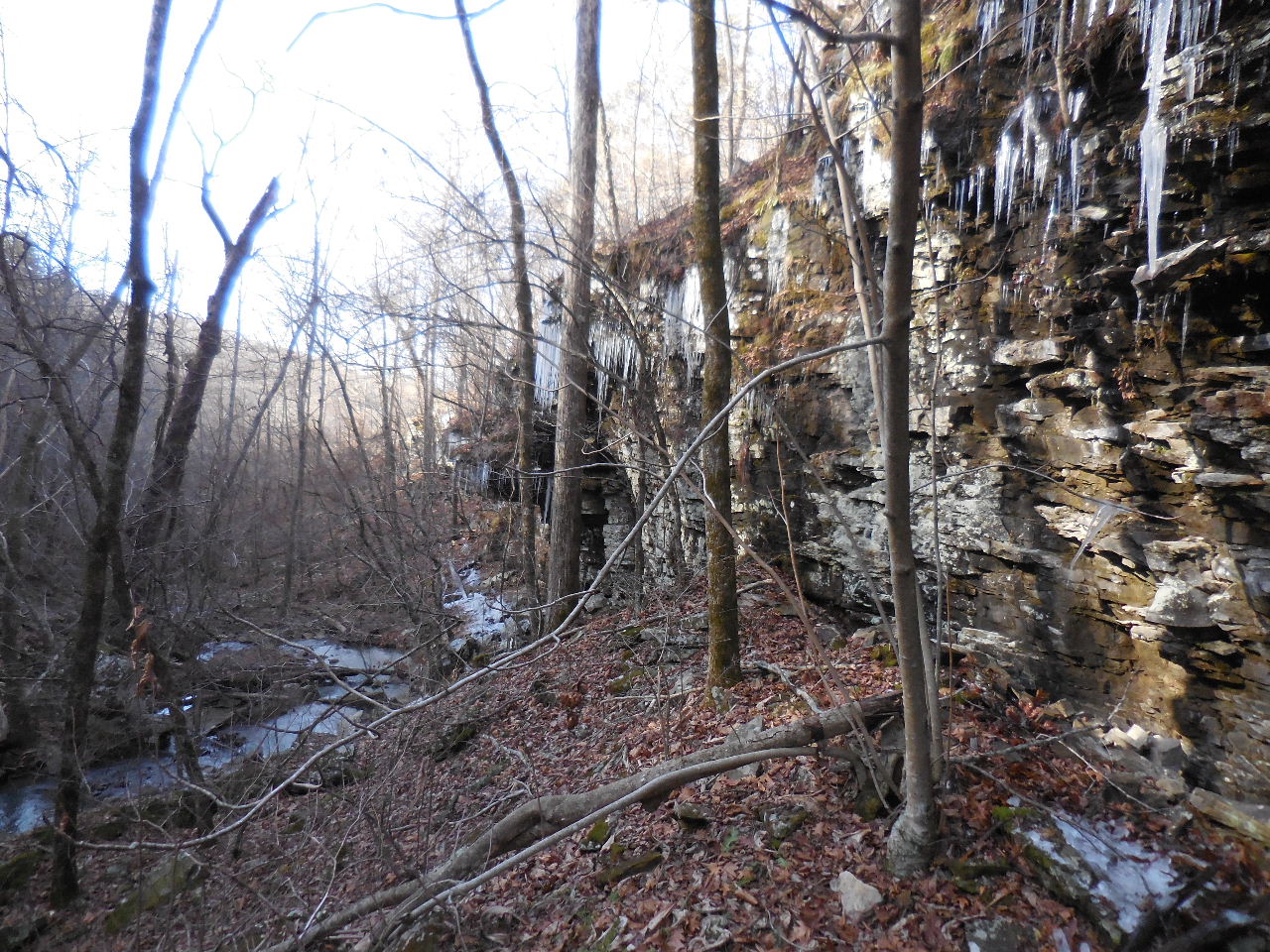
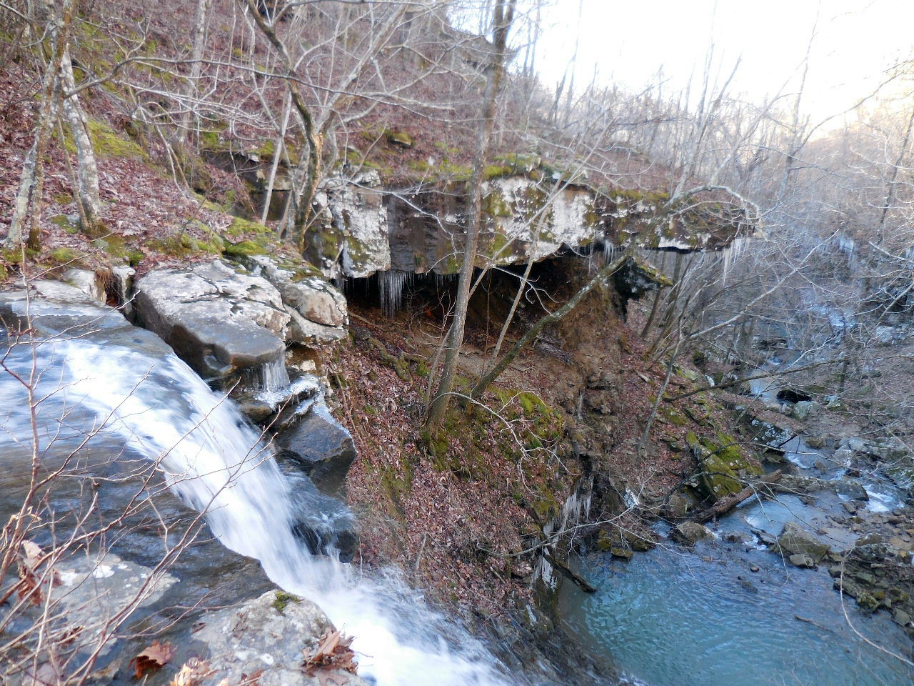
Looking downstream and bluff line on north side
(This is why you have to access down on south side)
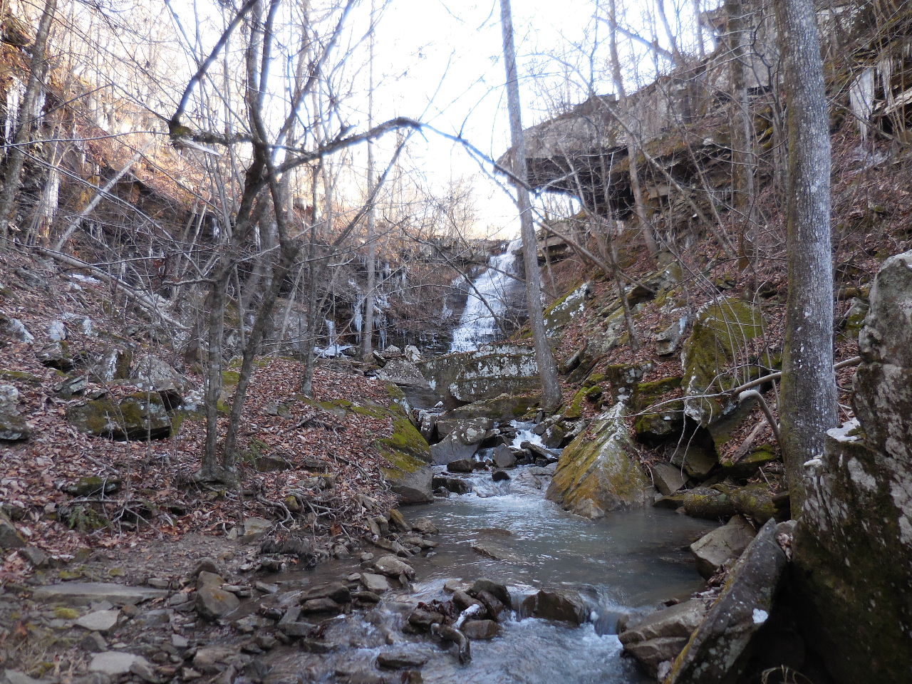
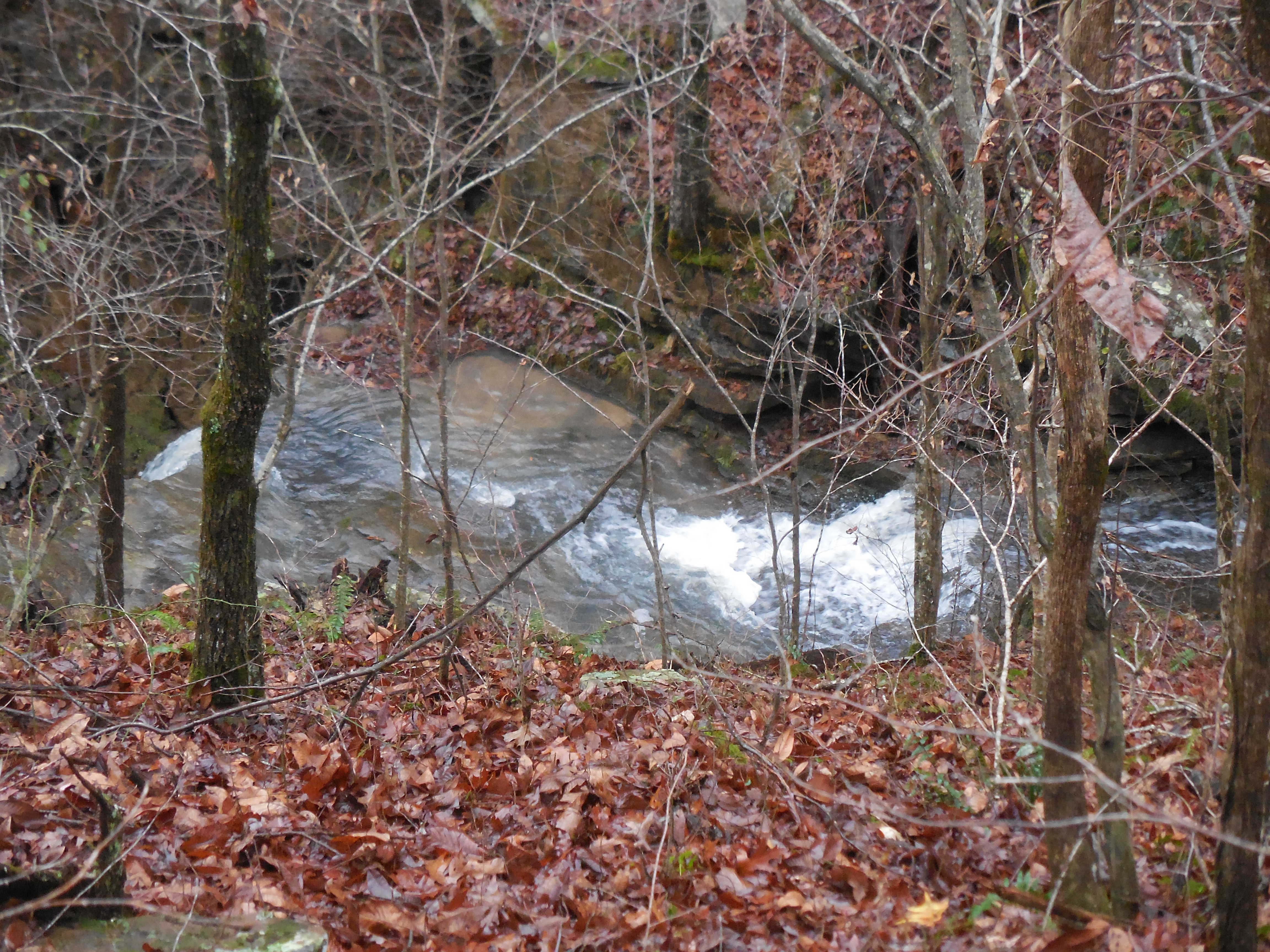
Pretty rough down in creek bed!

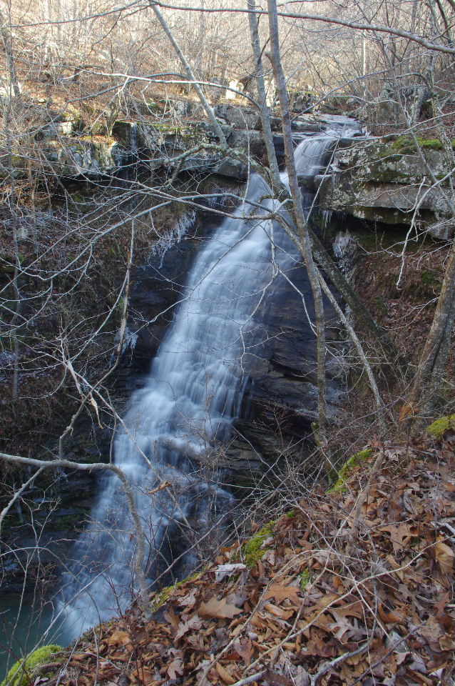
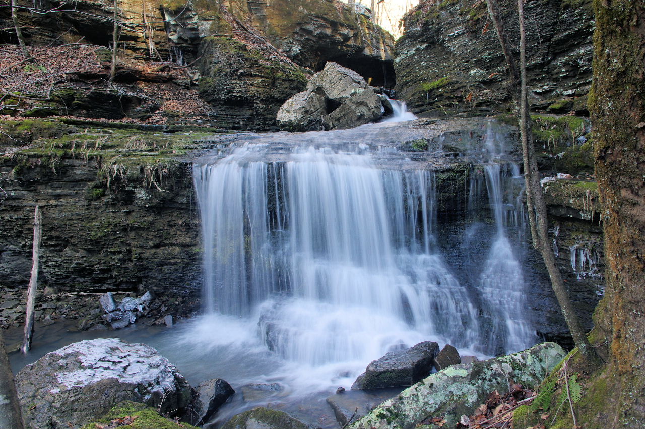
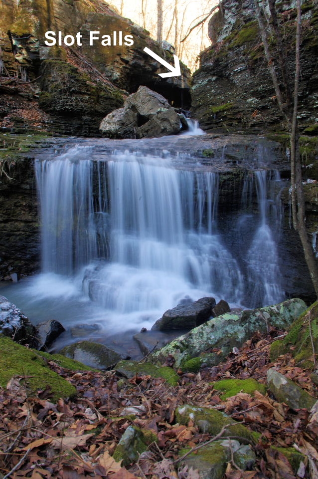
WF #2 Slot Falls
35.71278°, 93.10627°
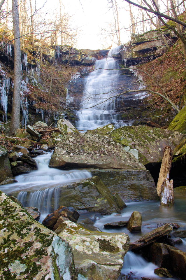
WF #3
35.71253°, 93.10643°
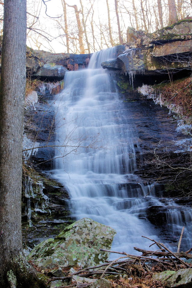
WF #4 (Top View)
35.70977°, 93.10773°
WF #5
35.71385°, 93.10320°
South Parking Area
35.70550°, 93.10408°