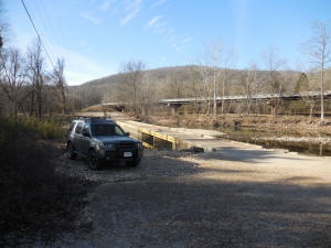
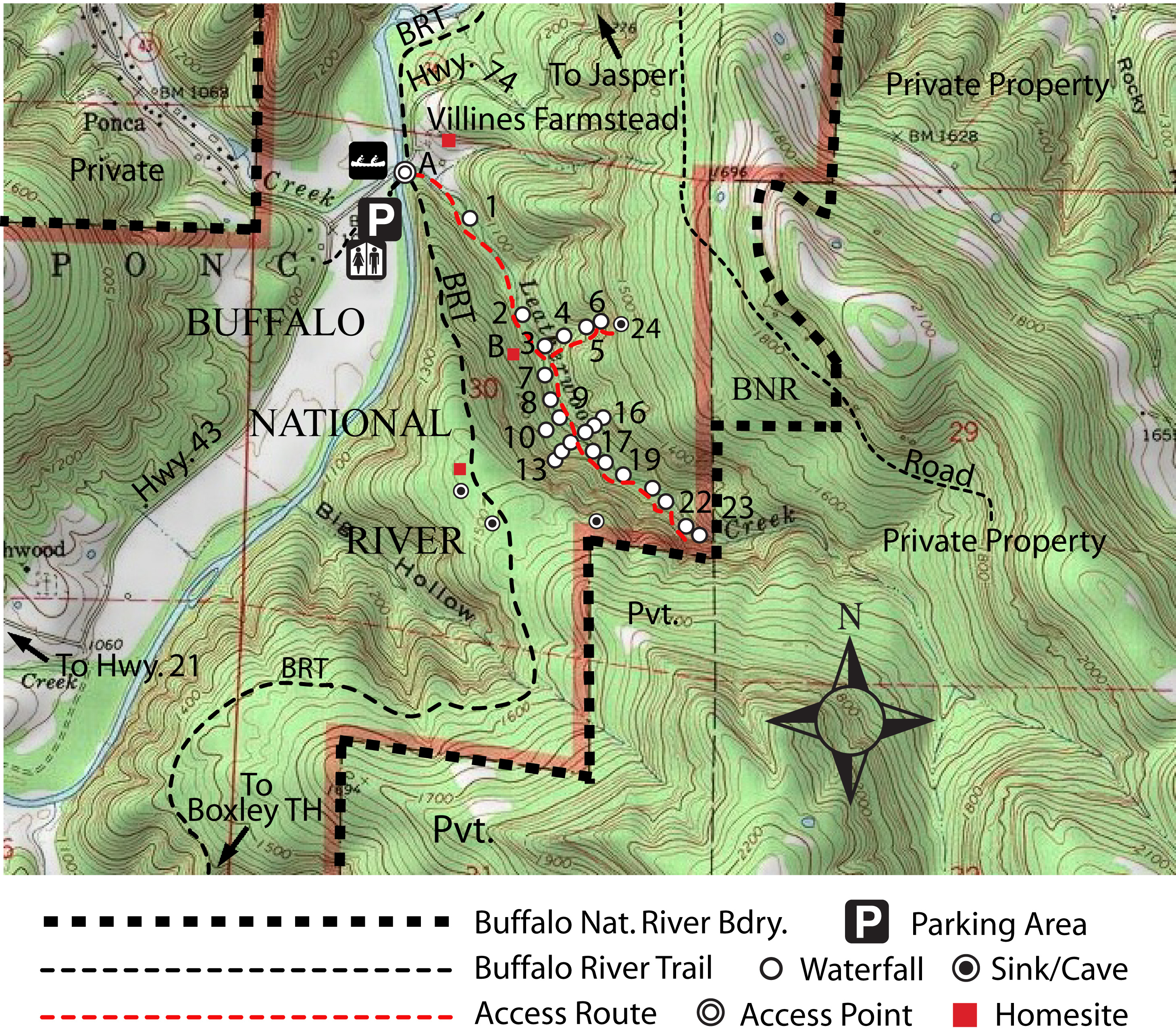
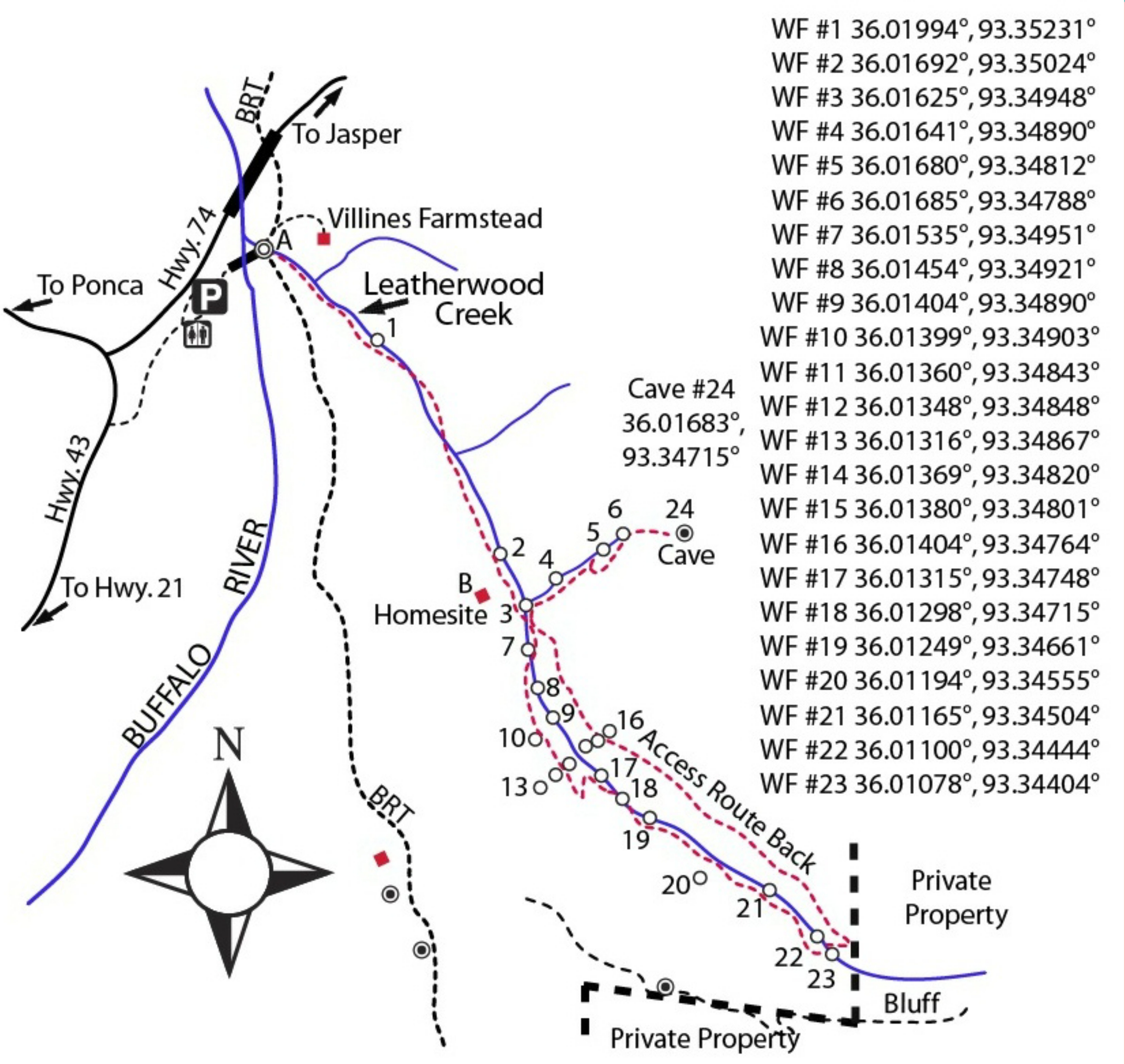
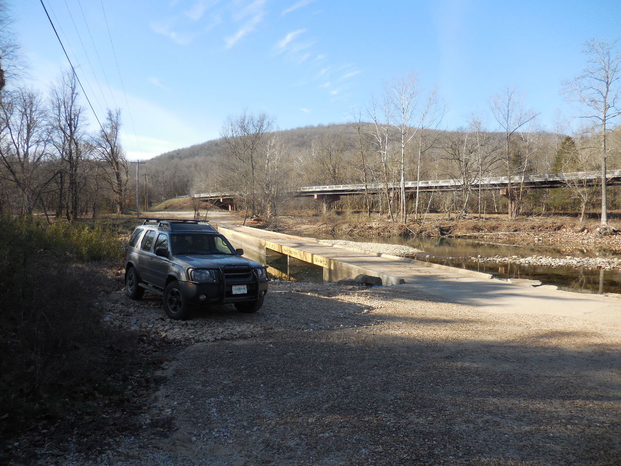
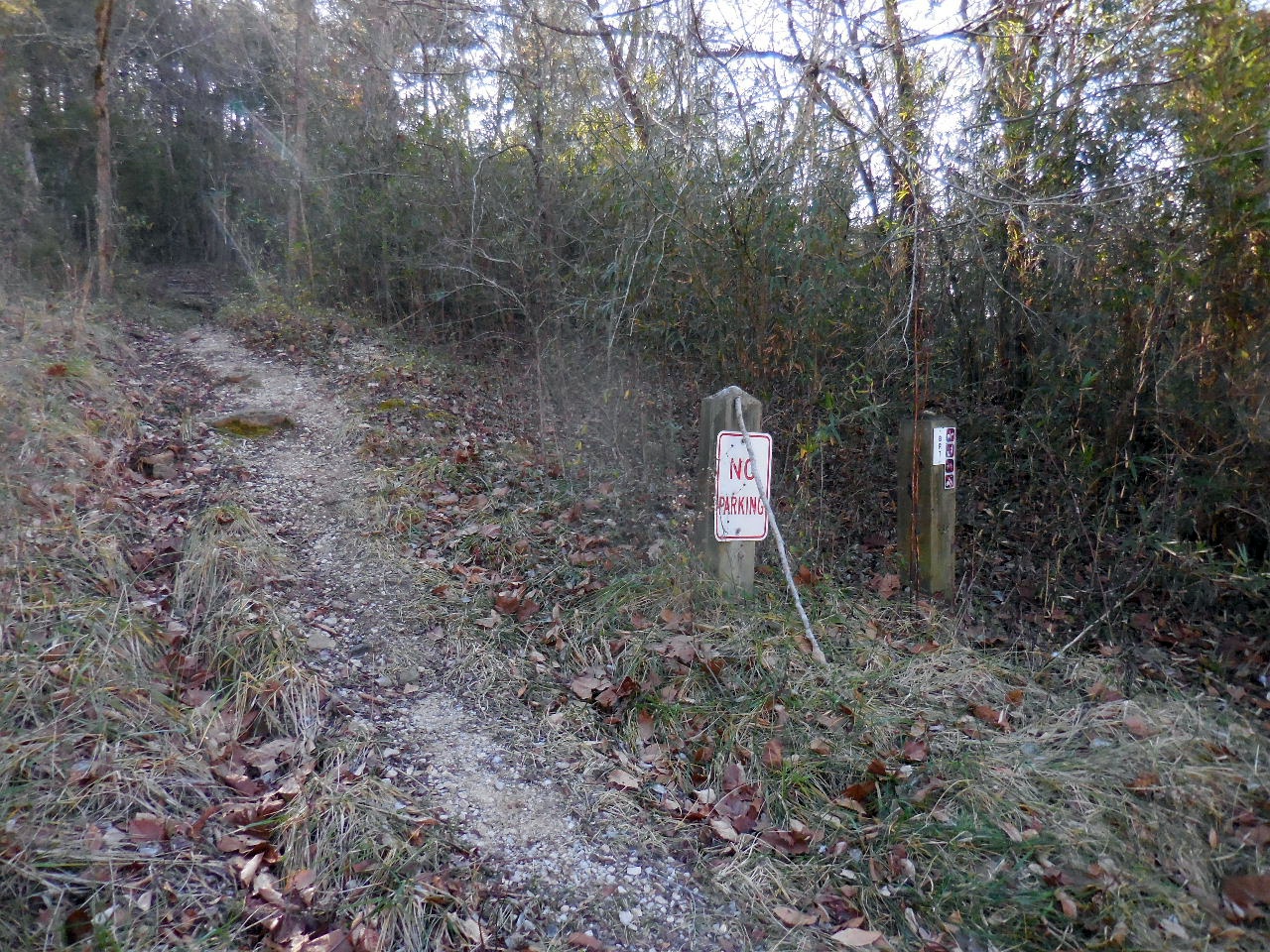
Not the proper place to park....parking is on
west
side of the Ponca Low Water Bridge |

Entrance to the Buffalo River Trail
heading south..... |
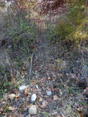
Access Point "A"
Just to the left of the BRT is a small
trail heading up and over a berm.
36.02137°, 93.35429° |
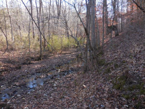
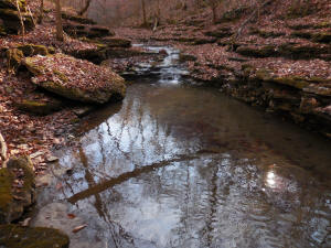
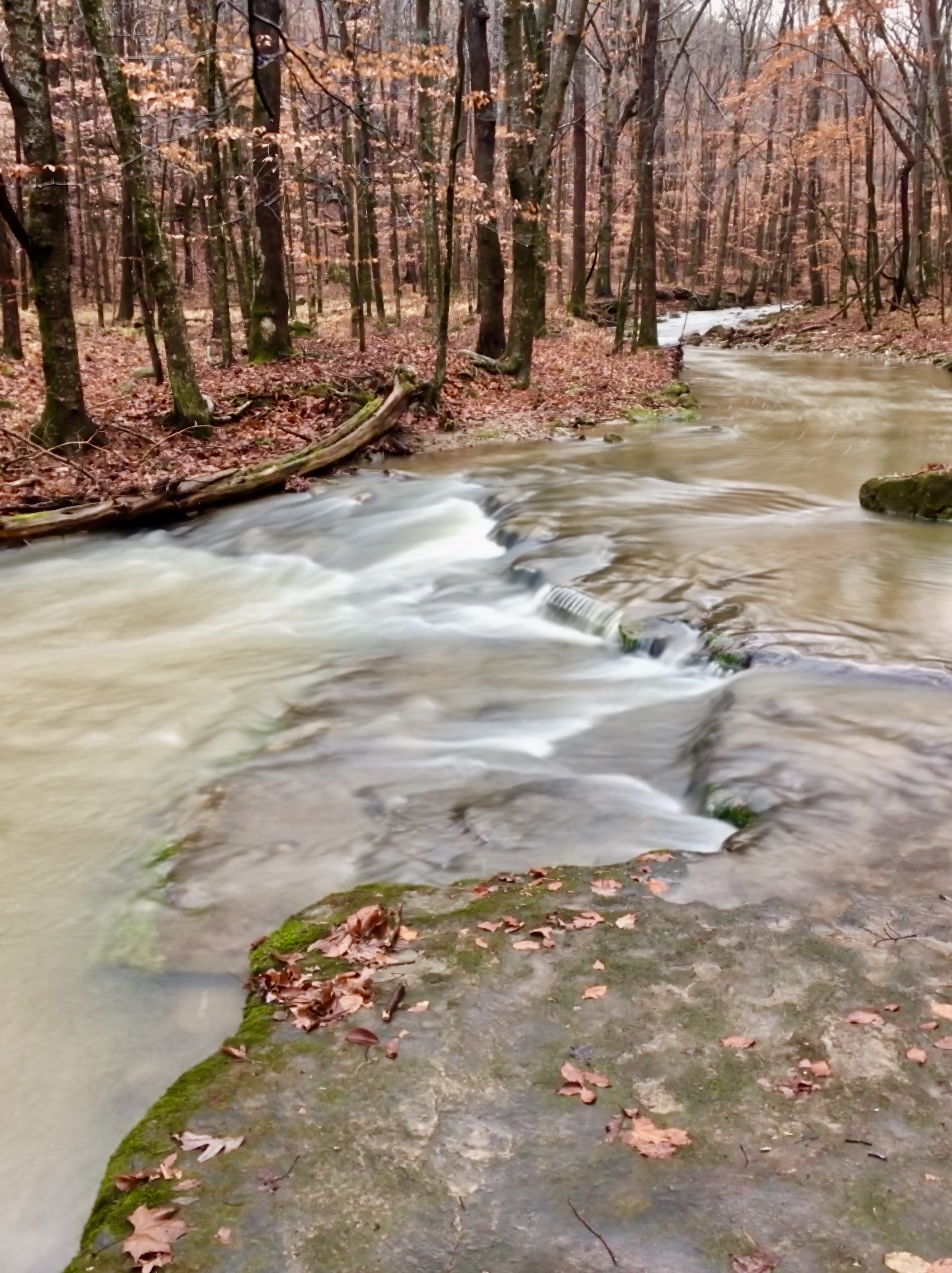
Once over the berm, you will be at
Leatherwood Creek
36.02133°, 93.35402° |
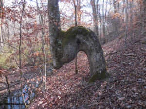
If the creek is up, follow the west bank,
passing
by this Thong Tree |

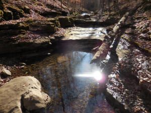
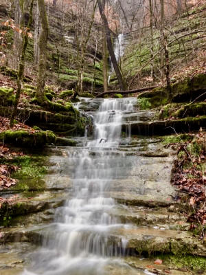
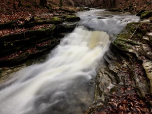
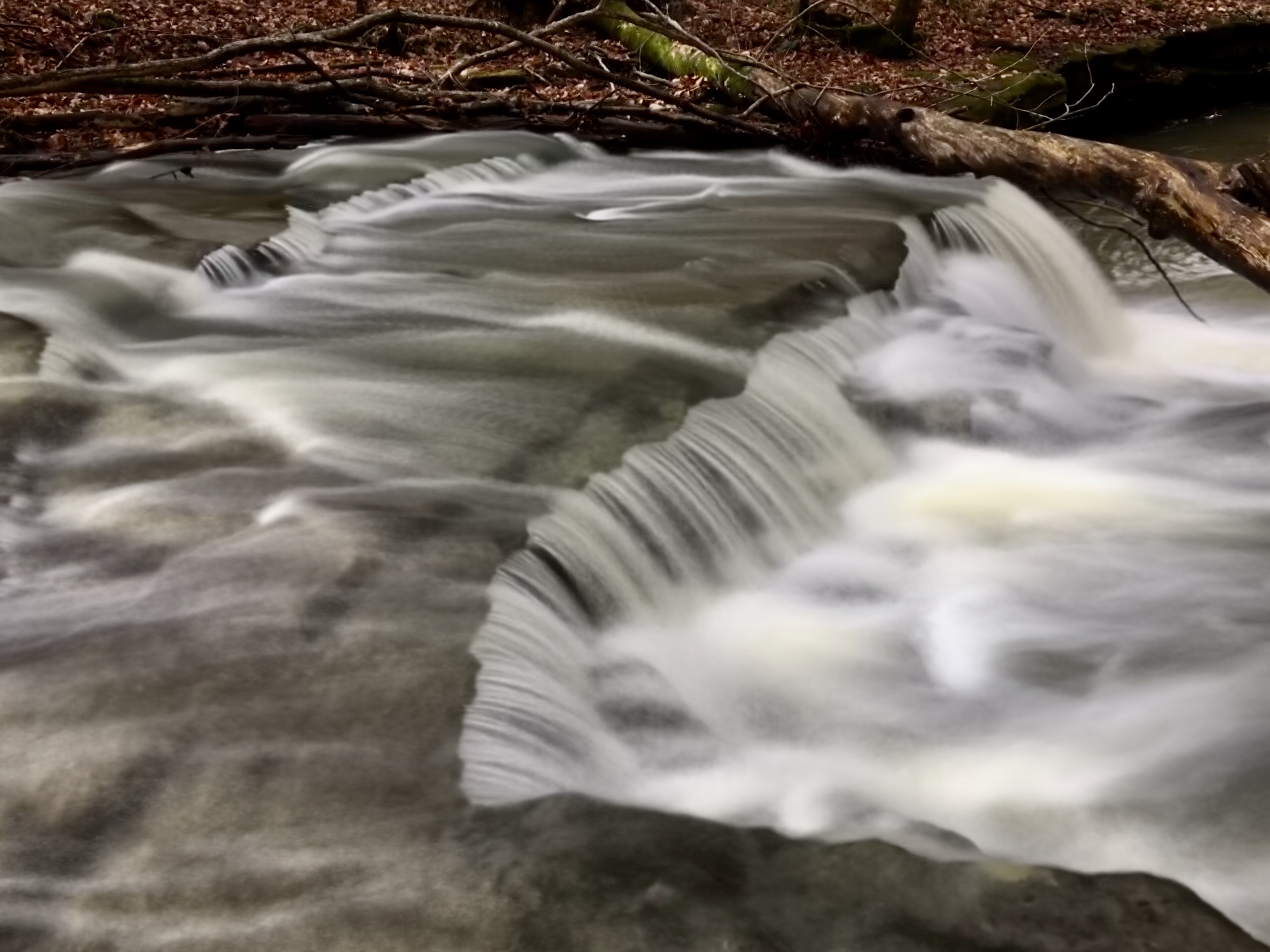
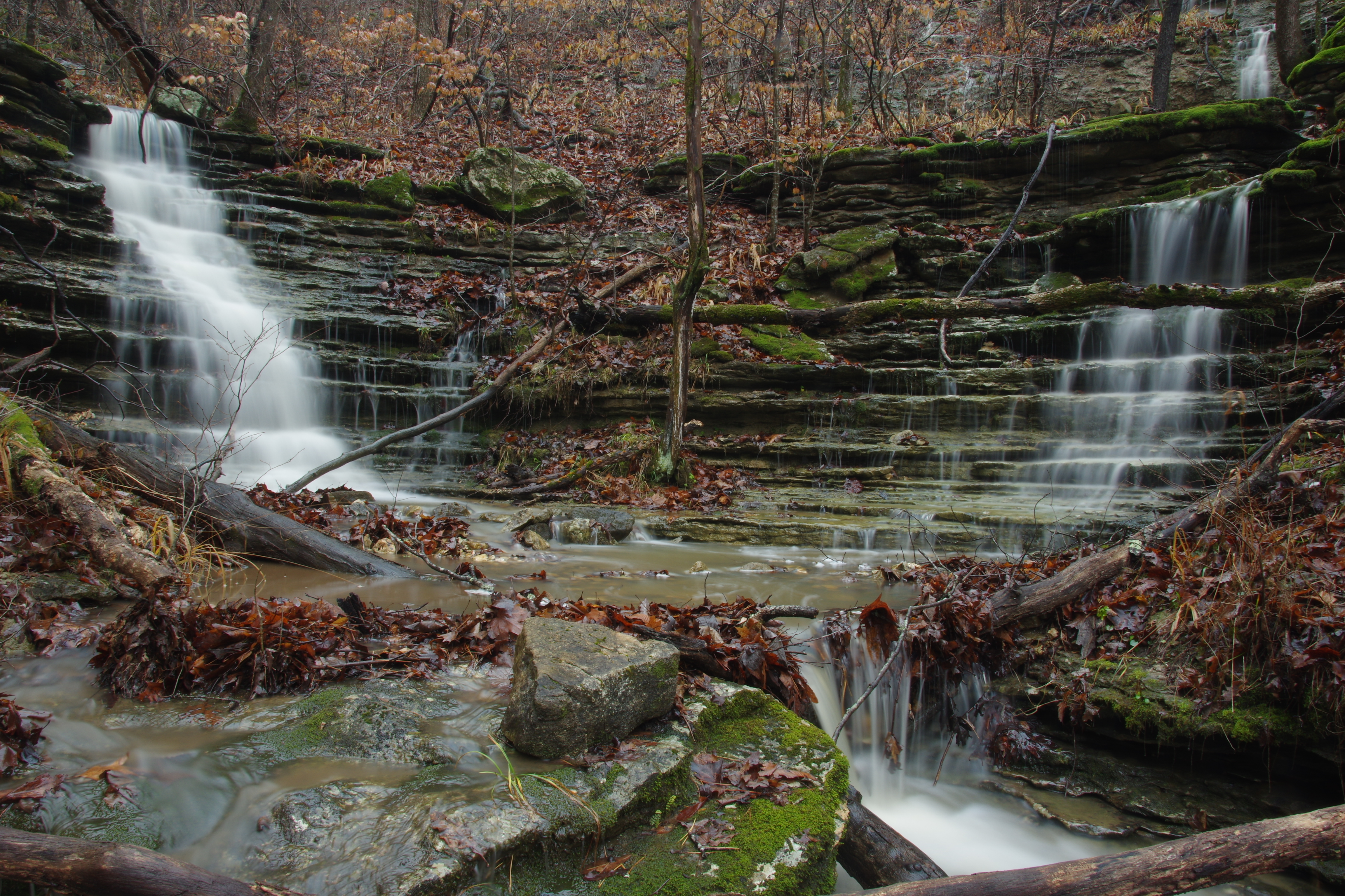
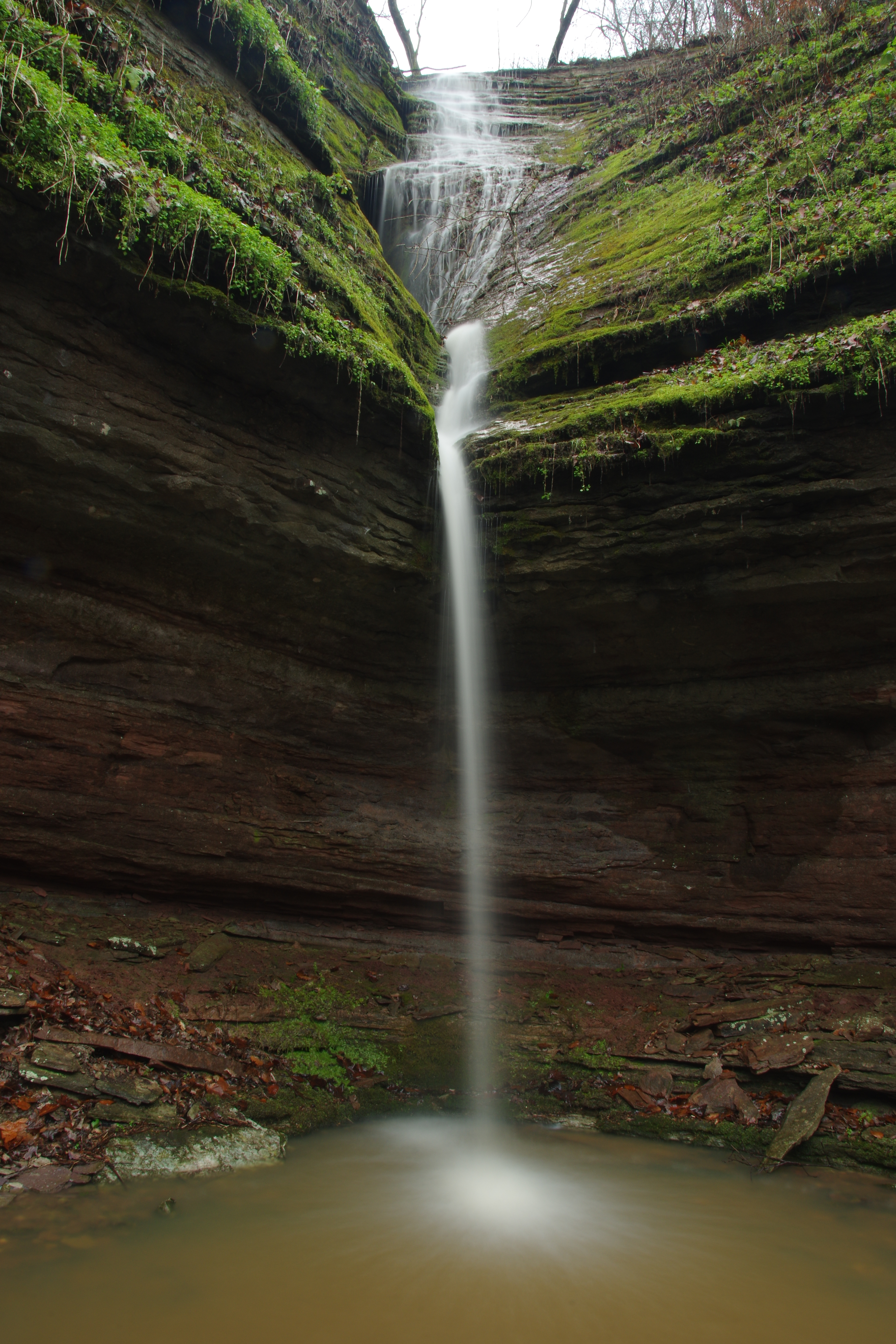
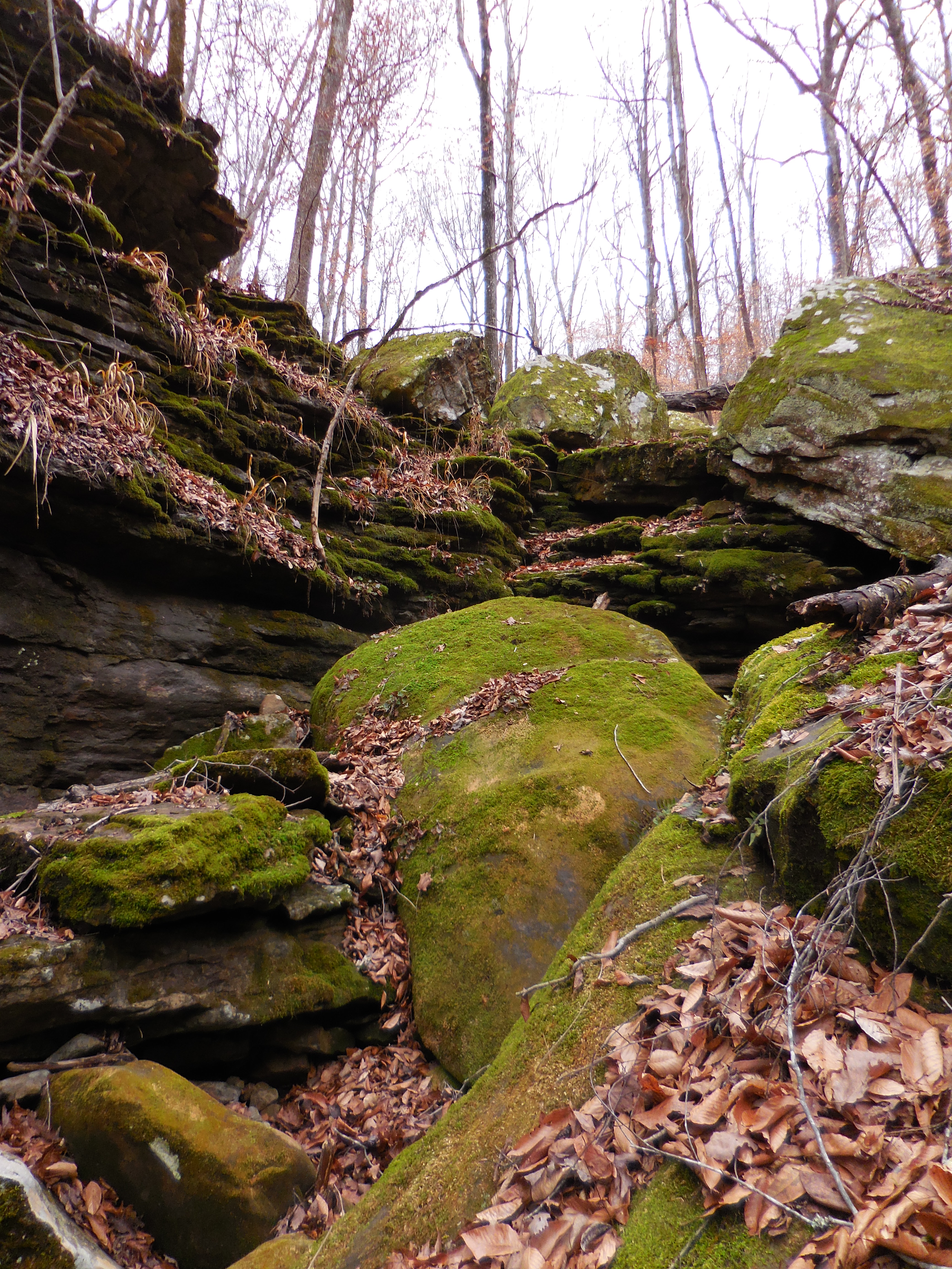
First small WF #1
36.01994°, 93.35231° |
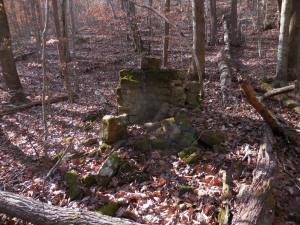
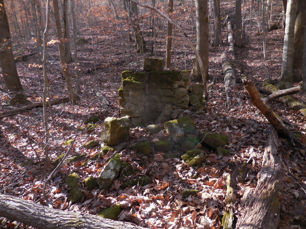
"B" Old Homesite
36.01640°, 93.34985° |

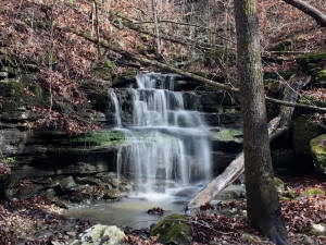
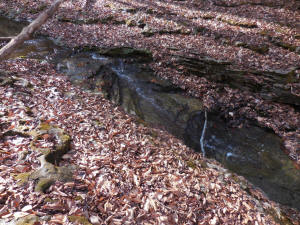
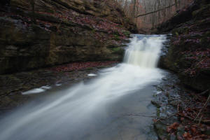
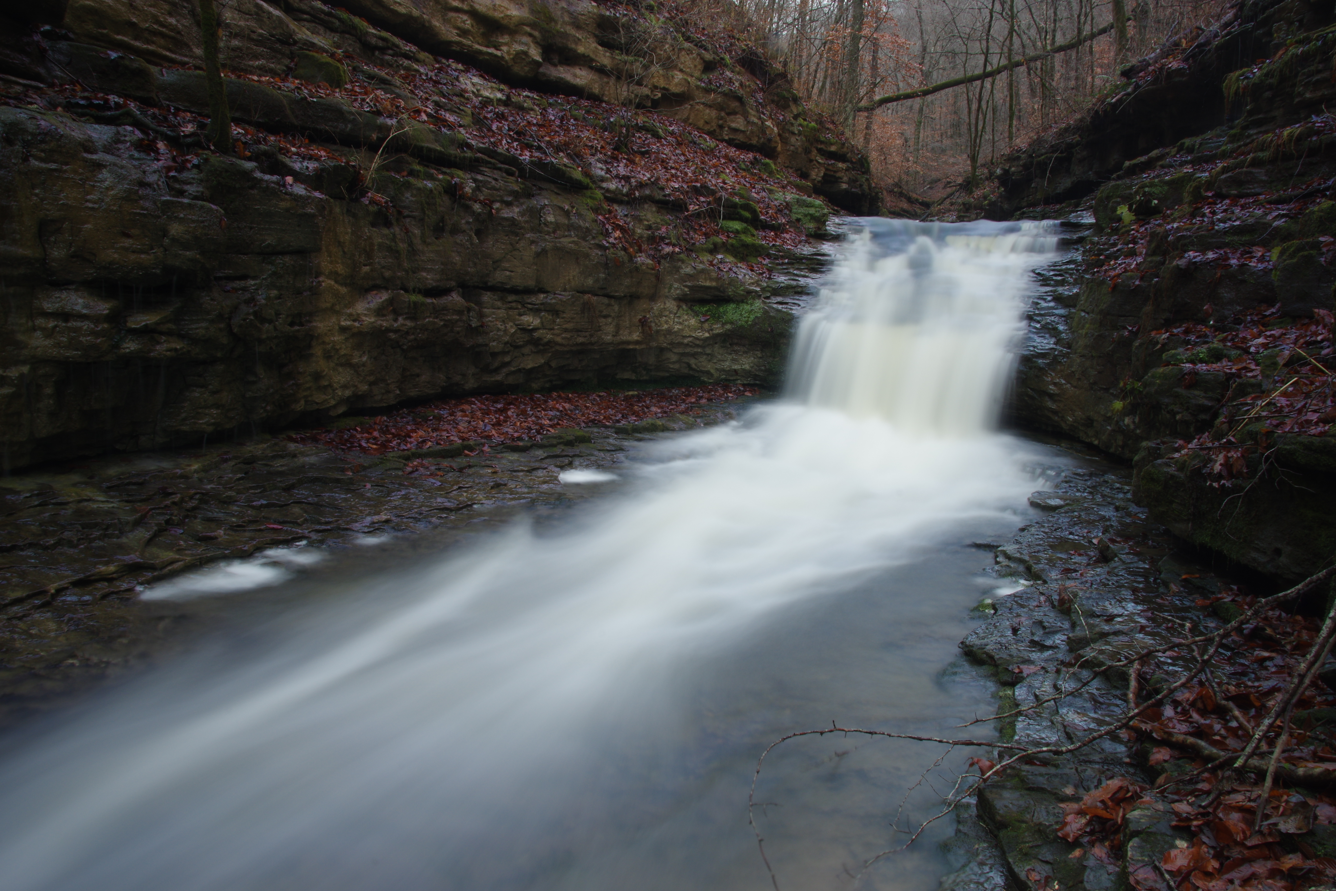
WF #2
36.01692°, 93.35024° |
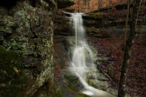
WF #3 (Entrance to side drainage)
36.01625°, 93.34948° |
WF #4
36.01641°, 93.34890° |
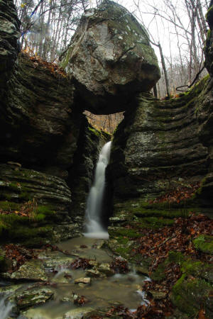
WF #5 Balanced Rock Falls
36.01680°, 93.34812° |

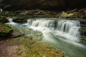
WF #6 Twin
36.01685°, 93.34788° |
WF #7
36.01535°, 93.34951° |
WF #8 Cascade
36.01454°, 93.34921° |
WF #9 Cascade
36.01404°, 93.34890° |
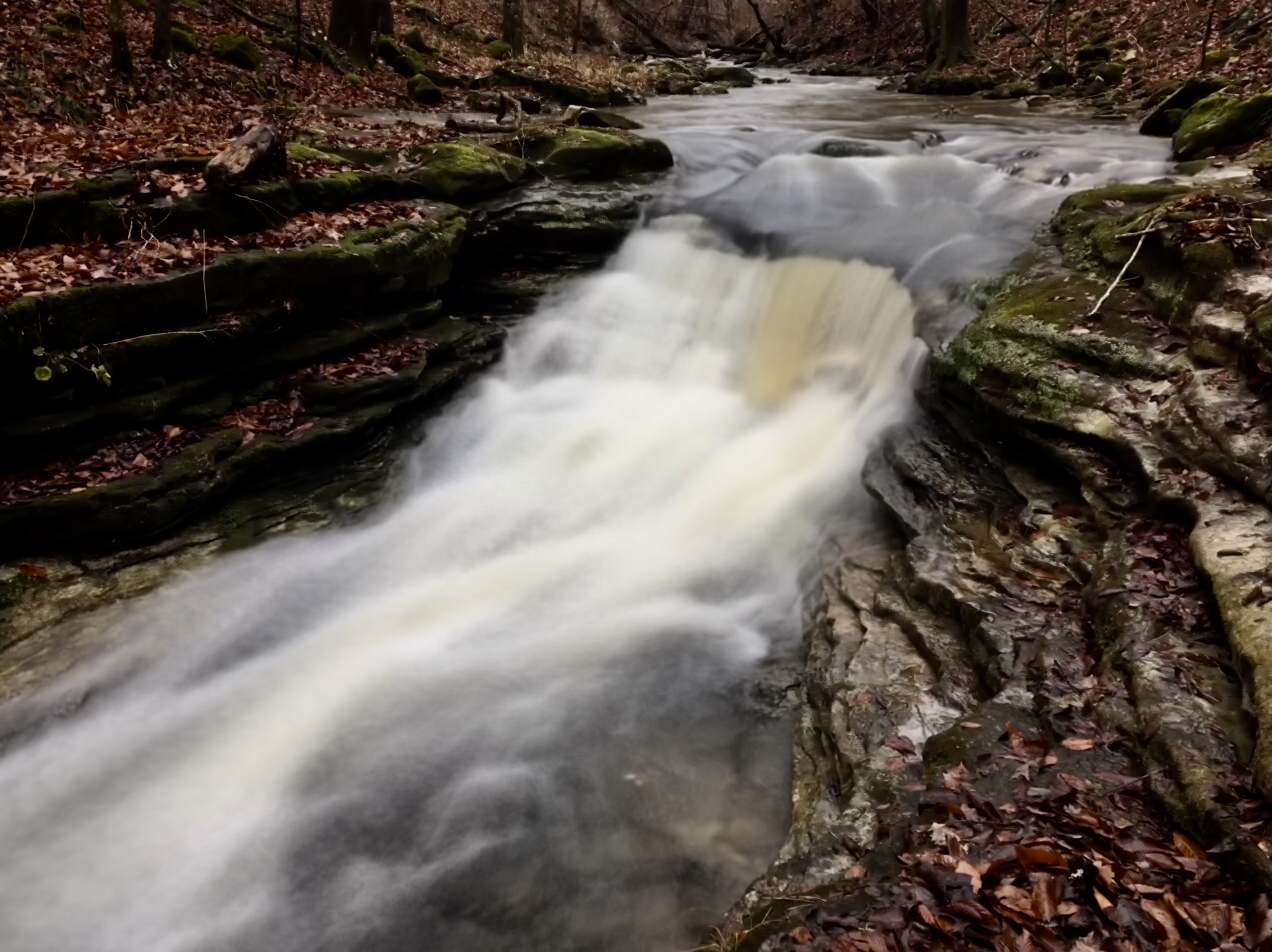
WF #10
36.01399°, 93.34903° |

WF #13
36.01316°, 93.34867° |
WF #12
36.01348°, 93.34848° |
Top of WF #11
36.01360°, 93.34843° |
WF #14
36.01369°, 93.34820°
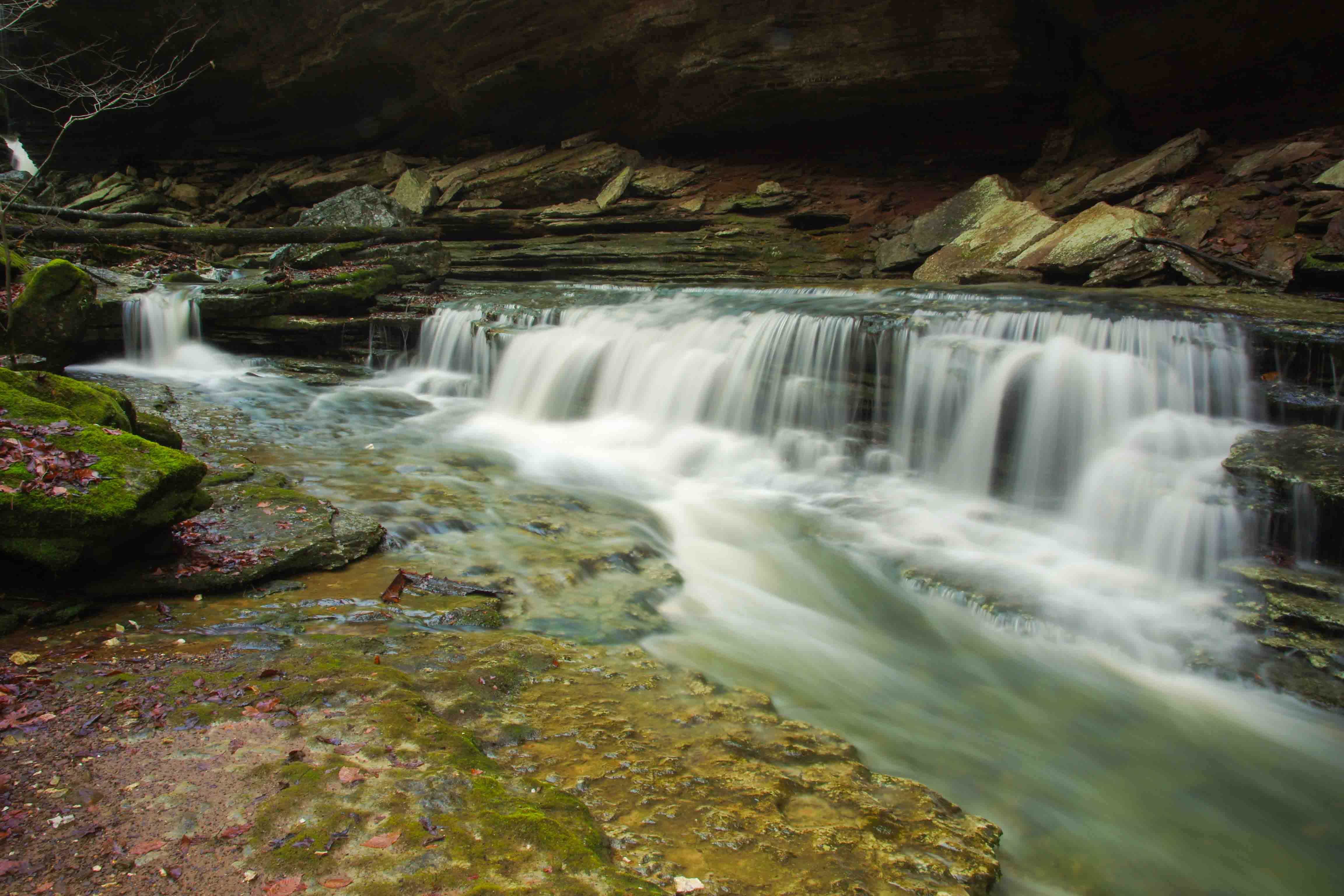
WF #15 36.01380°, 93.34801°
WF #16 36.01404°, 93.34764°
|
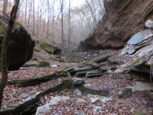
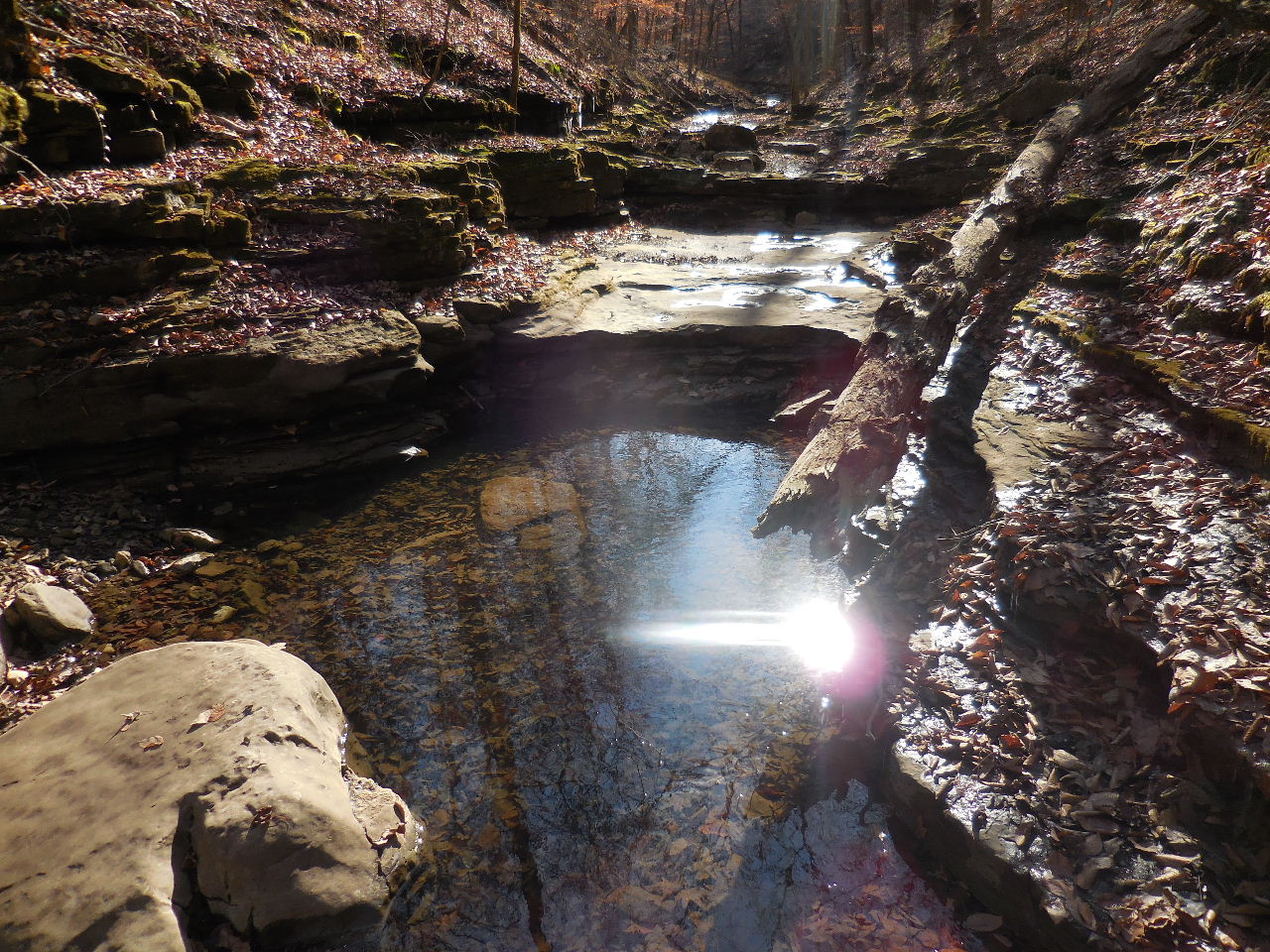
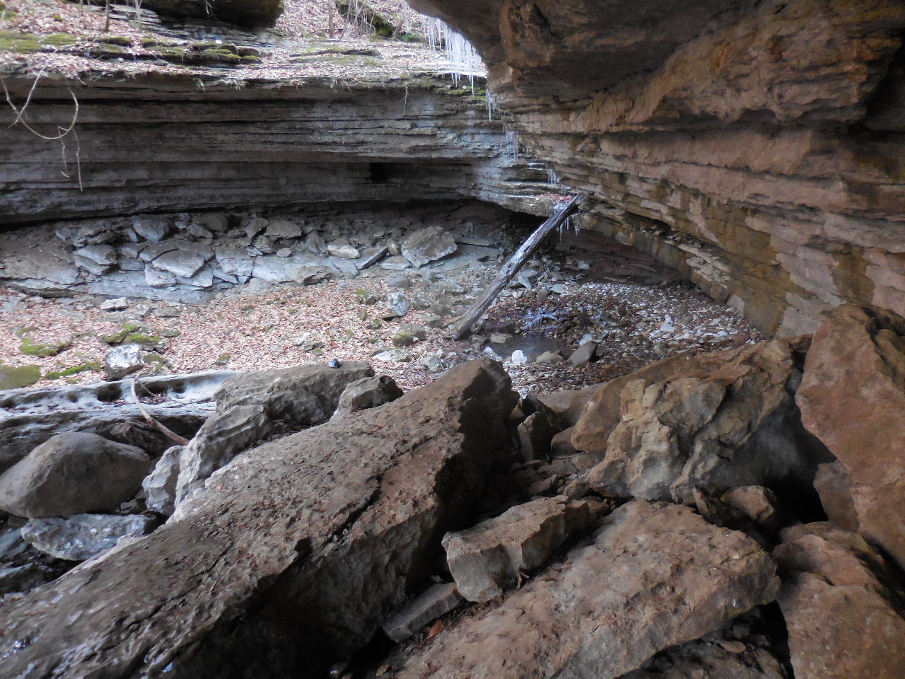
North end of Slot Canyon
WF #17 Wading Falls |
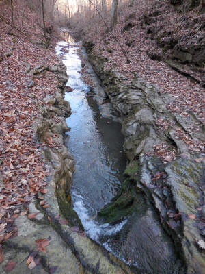
WF #18 Slot Canyon
36.01298°, 93.34715° |
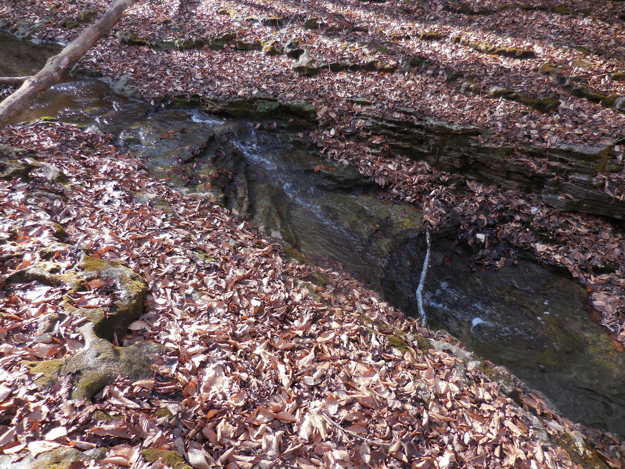
WF #19
36.01249°, 93.34661° |
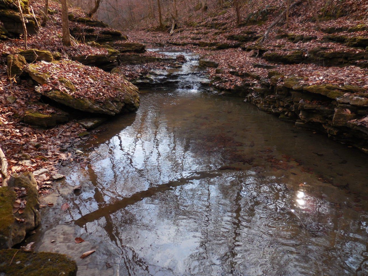
WF #22
36.01100°, 93.34444° |

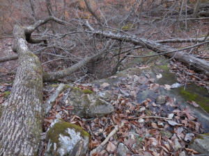
Could be a waterfall?
|
On the way to WF #23 |
Grotto at WF #23 |

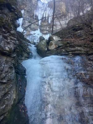
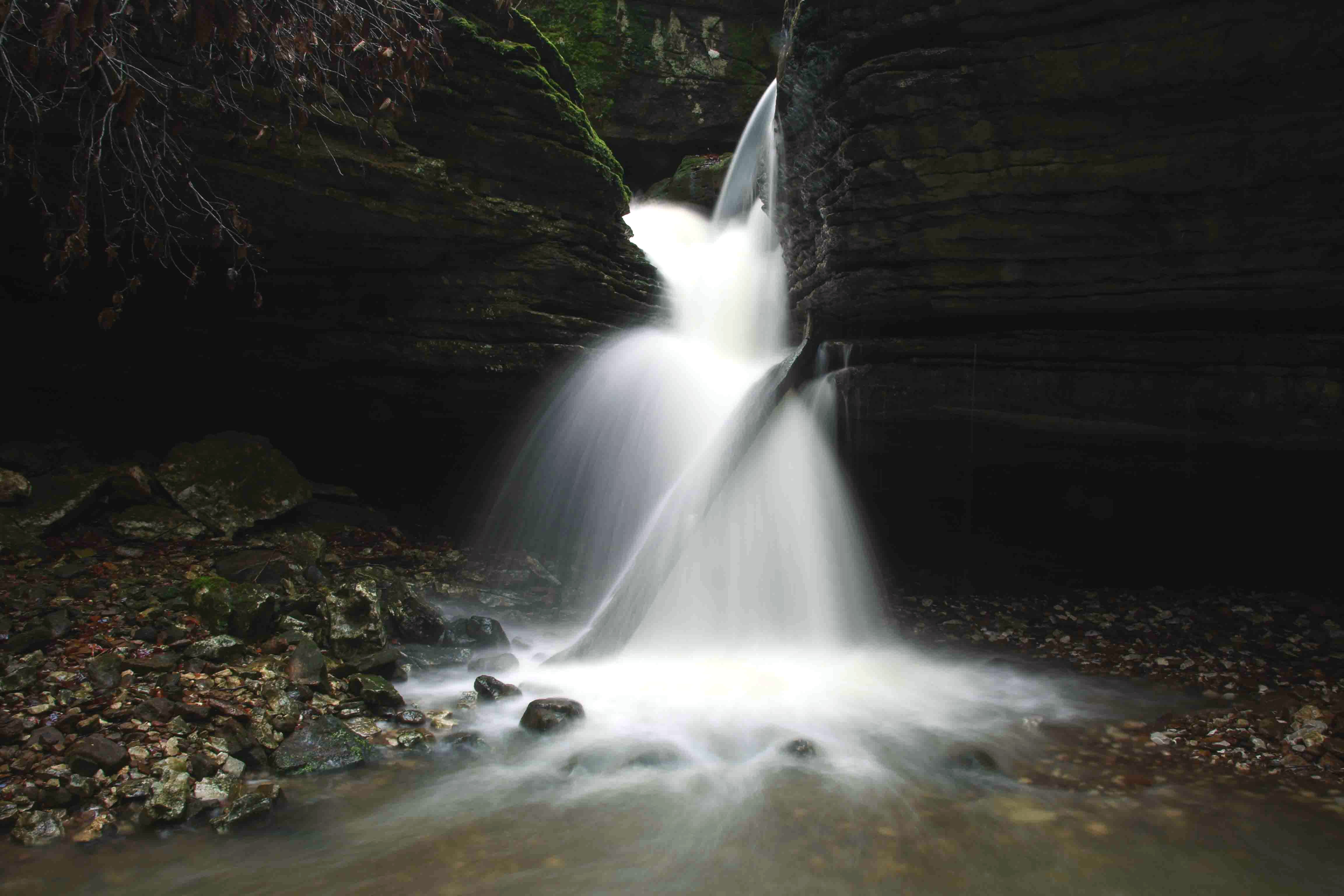
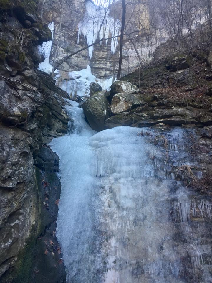
WF #23 Leatherwood Creek Falls
36.01078°, 93.34404° |

WF #23 Leatherwood Creek Falls
|
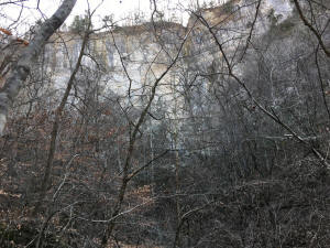
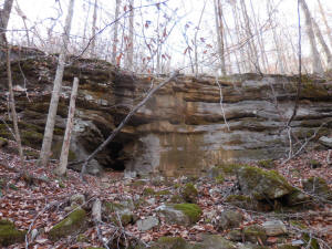
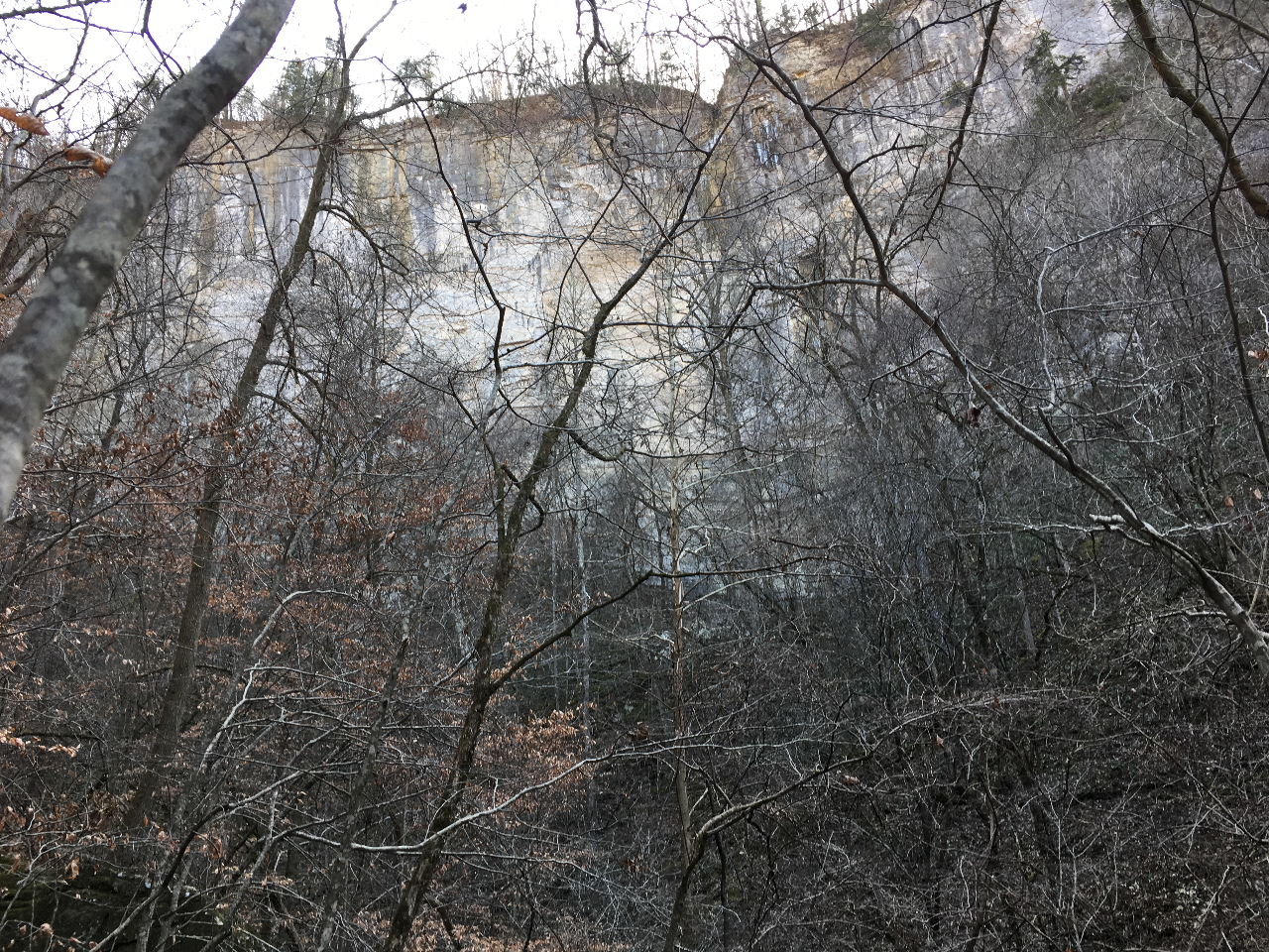
200 ft. (or taller) bluff just beyond
WF #23 |
_small.JPG)
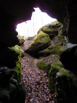
WF #24
You can barely see Ray at the base of the
200 ft. high bluff...
36.01087°, 93.34412° |
WF #25 (200' +-)
36.01035°, 93.34454°
Hidden behind the bluffline.... |

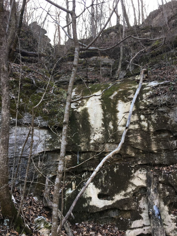
WF #26
36.01095°, 93.34618°
(Up above this waterfall is a cave
and the base of The Chimney) |
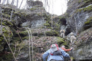
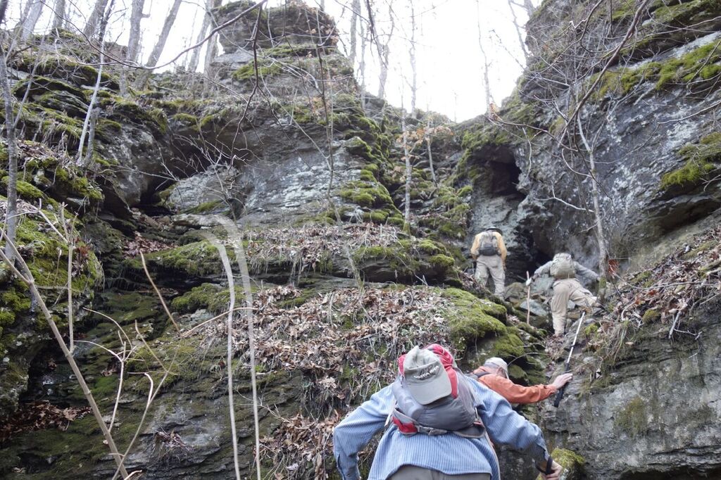
This is the ledge above WF #26 that
leads to The Chimney and a cave |
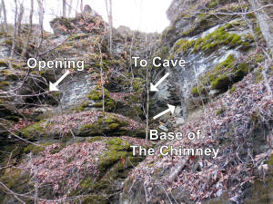
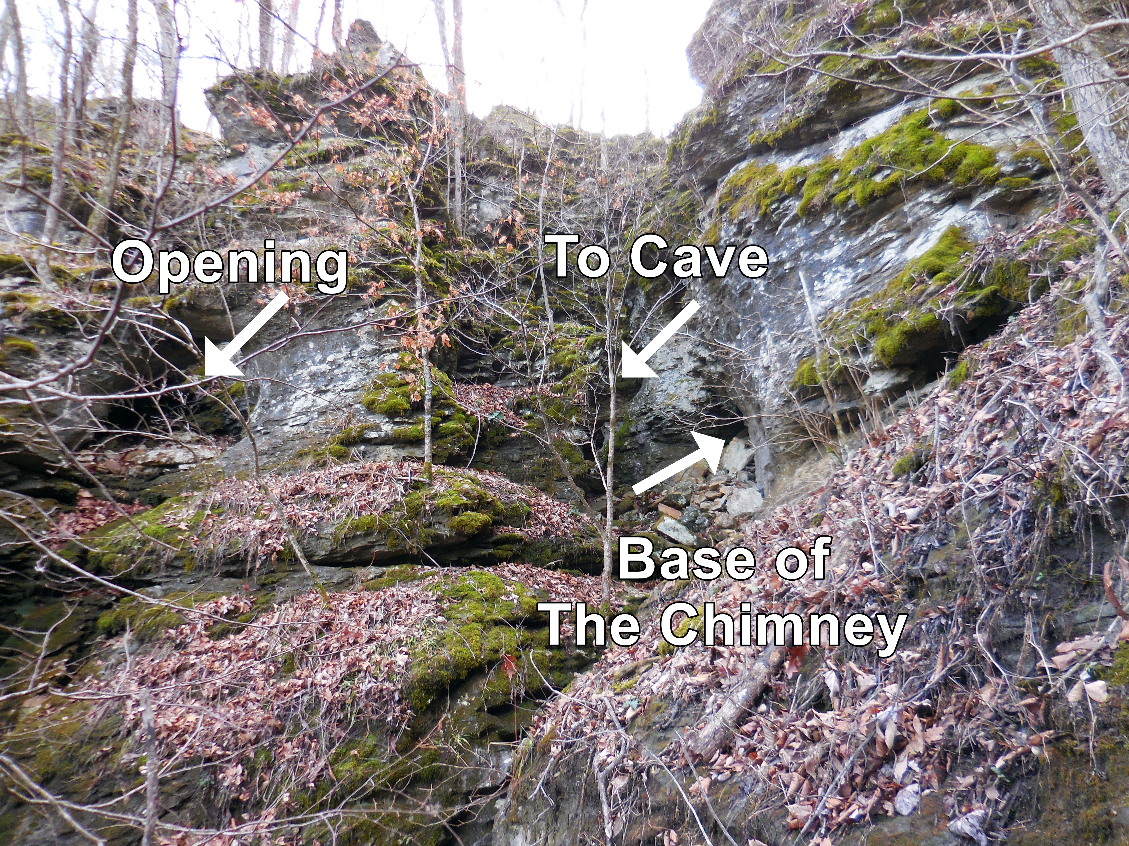
"C" The Chimney
36.01062°, 93.34620° |
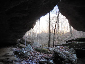
_small.JPG)
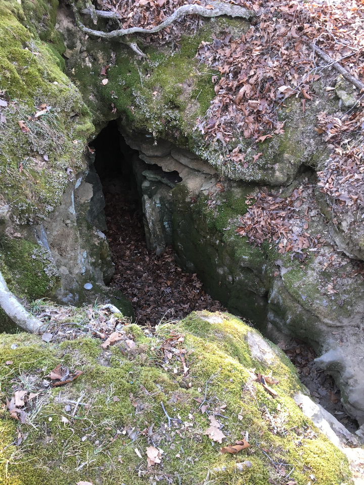
Entrance to Cave |
Bottom of
Access to the Top
36.01137°, 93.34672°
Access Point "D" on top
36.01098°, 93.34708° |

"C" Top of The Chimney
36.01062°, 93.34620° |

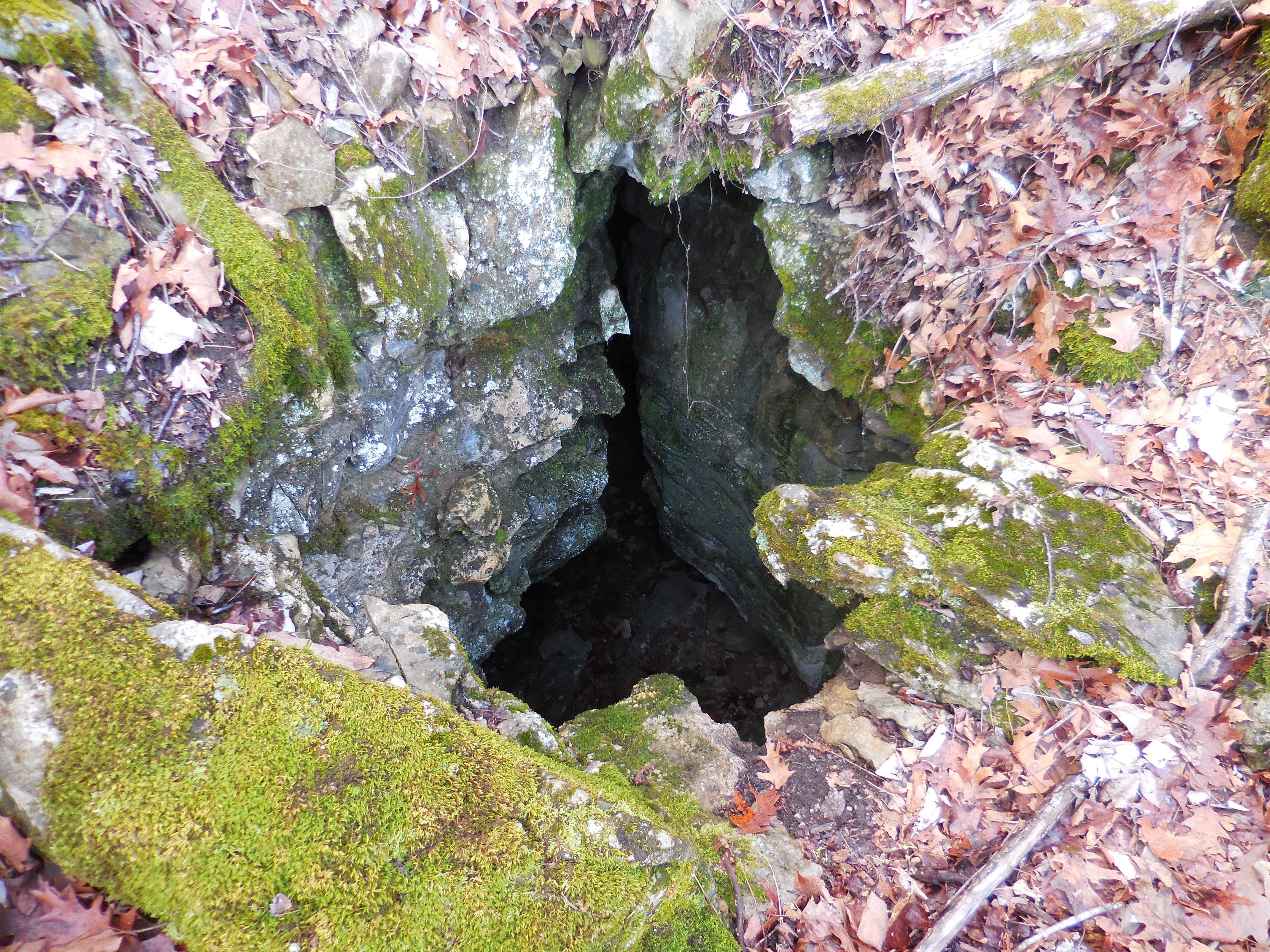
"E" Sink Hole next to BRT
36.01168°, 93.35091° |
"E" Sink Hole looking out |
_small.JPG)
"F" Sink Hole
36.01216°, 93.35152°
(This one is filled with dirt...) |
_small.JPG)
"G" Old Homesite
36.01244°, 93.35128° |

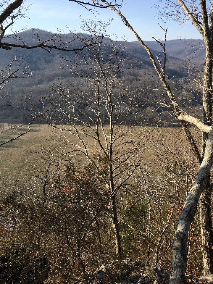
"H" Vista
36.01665°, 93.35324° |
|
|
| |
|
|


.JPG)
.JPG)

.JPG)
.JPG)