.jpg)
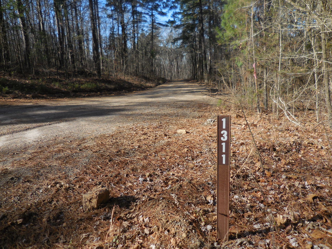
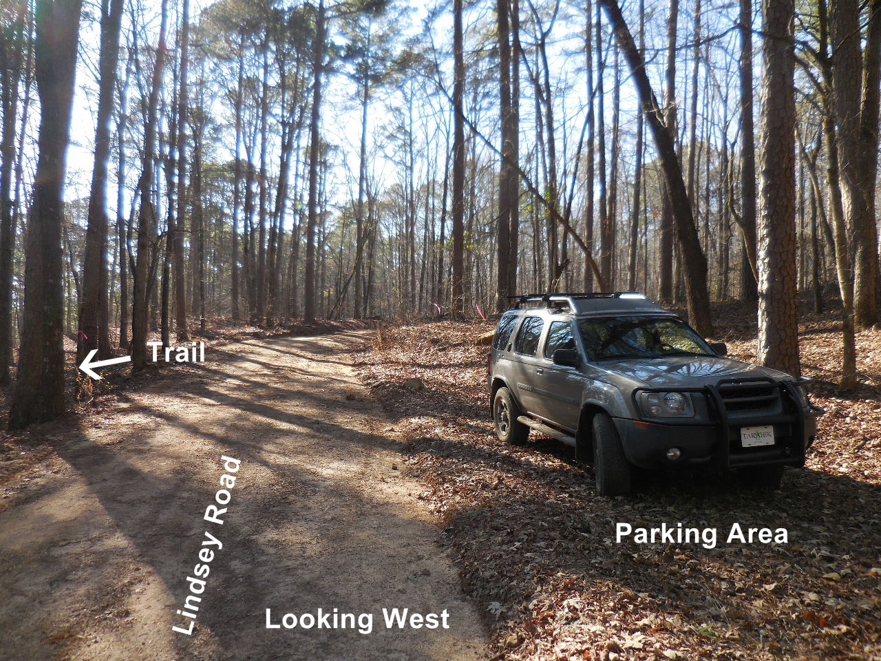
Intersection of White Oak Mt. Road (FR 1301)
and Lindsey Road (FR 1311)
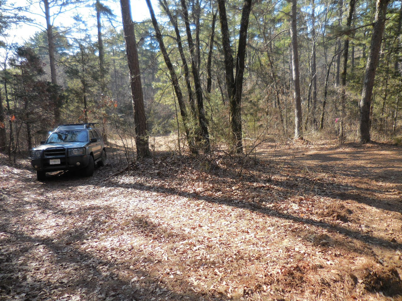
Parking Area "A"
35.53567°, 92.86044°
(+- 0.7 mile from intersection of FR 1301 & 1311)
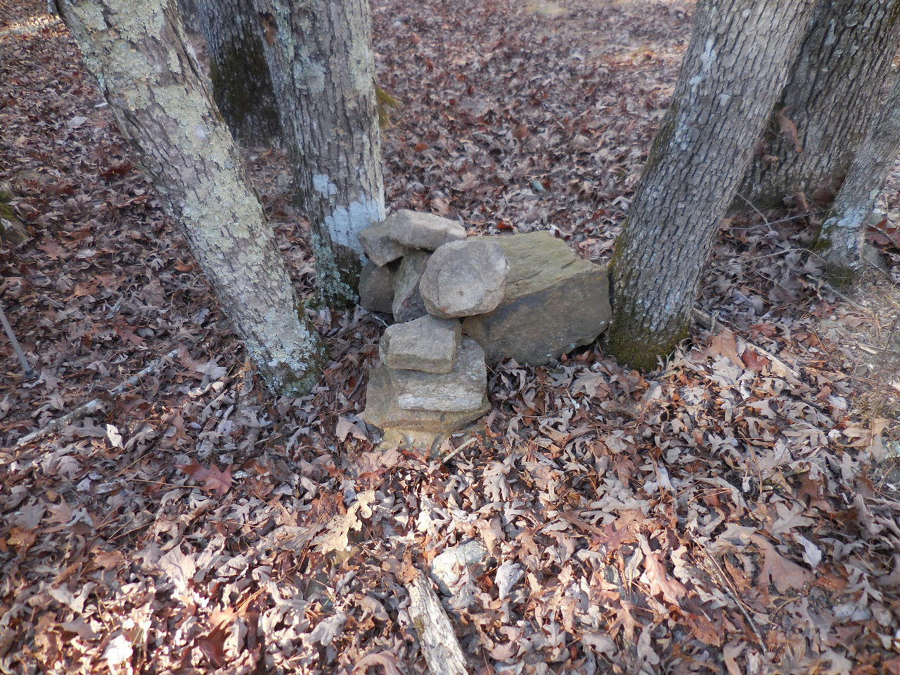
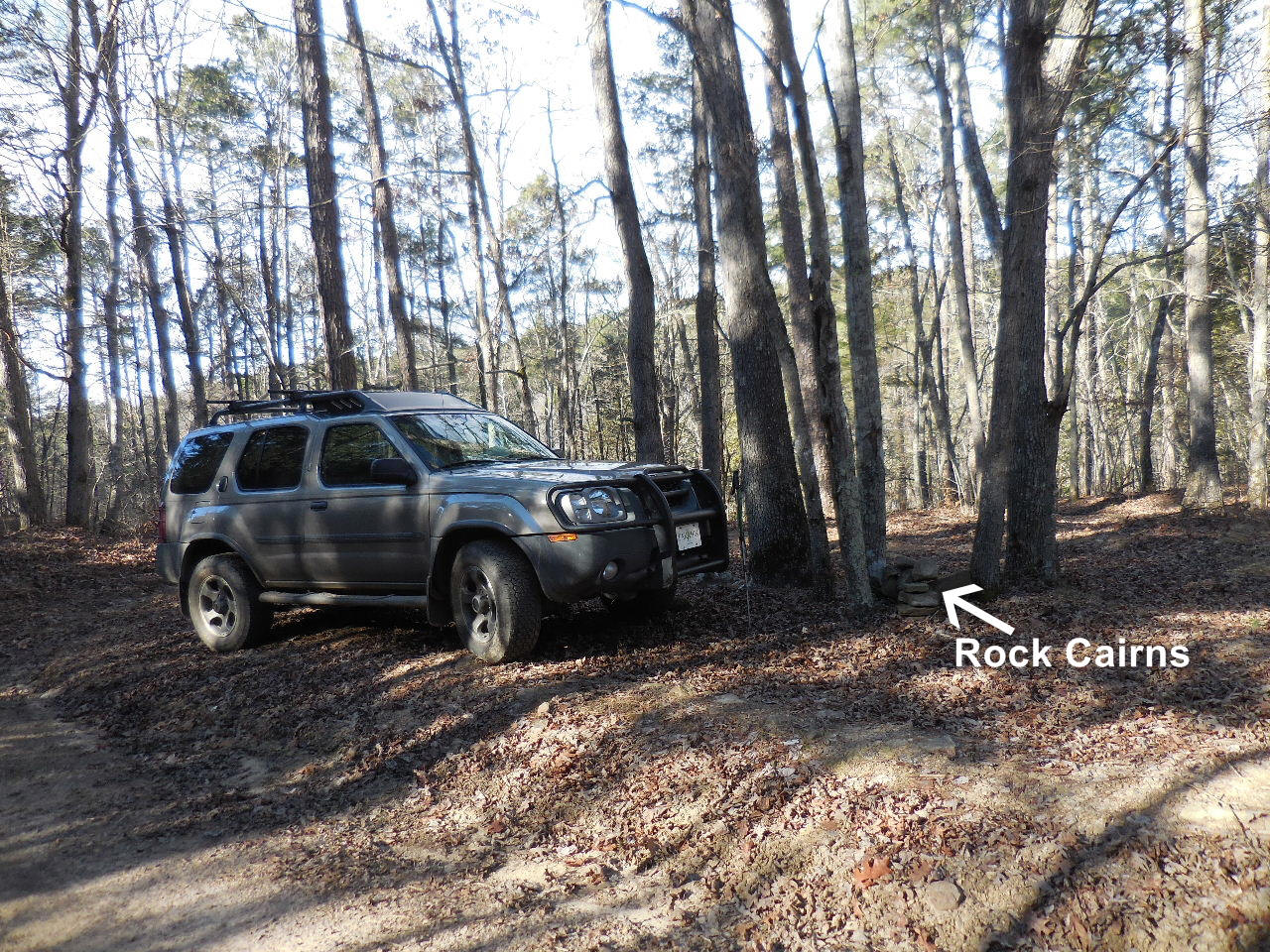
Rock Cairns
(From here, following trails downhill)
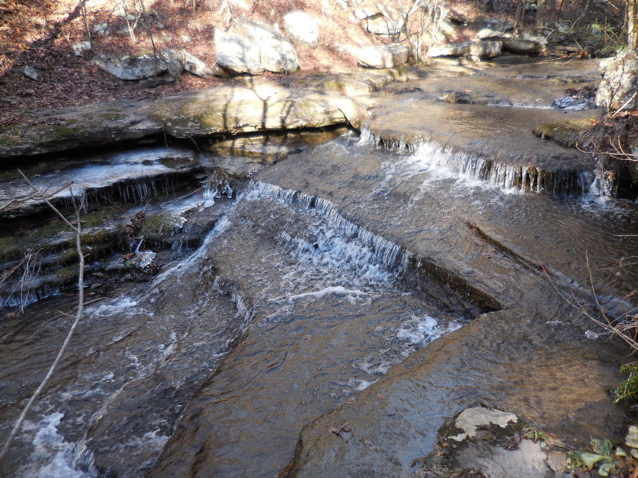
Trails comes to this upper waterfall.
Cross here or further upstream. There is a trail on
north side of Mill Creek that leads down and
under WF #1 Fiddlehead.
Trail along north side of waterfall

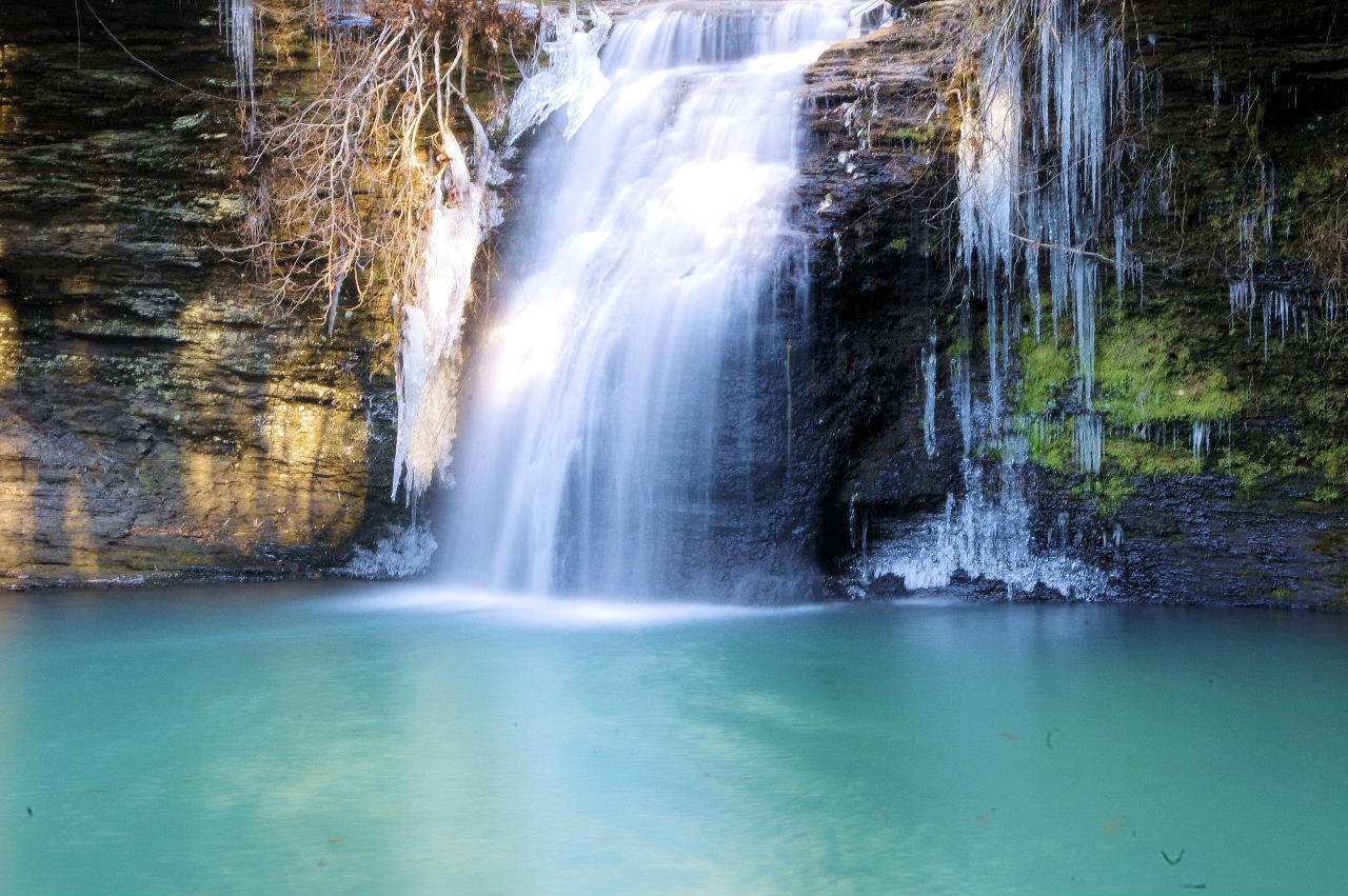
Begin your picture taking.....
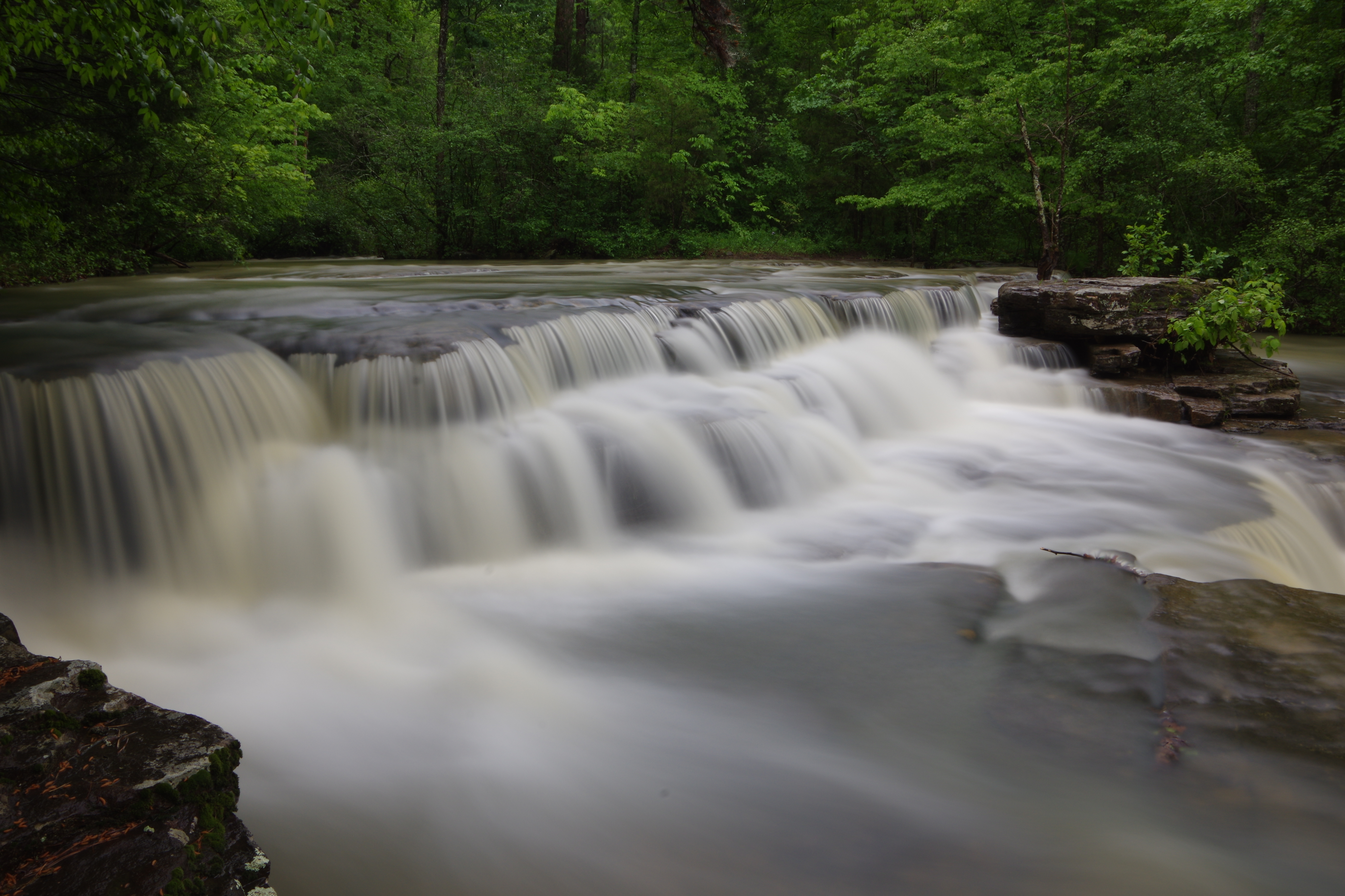
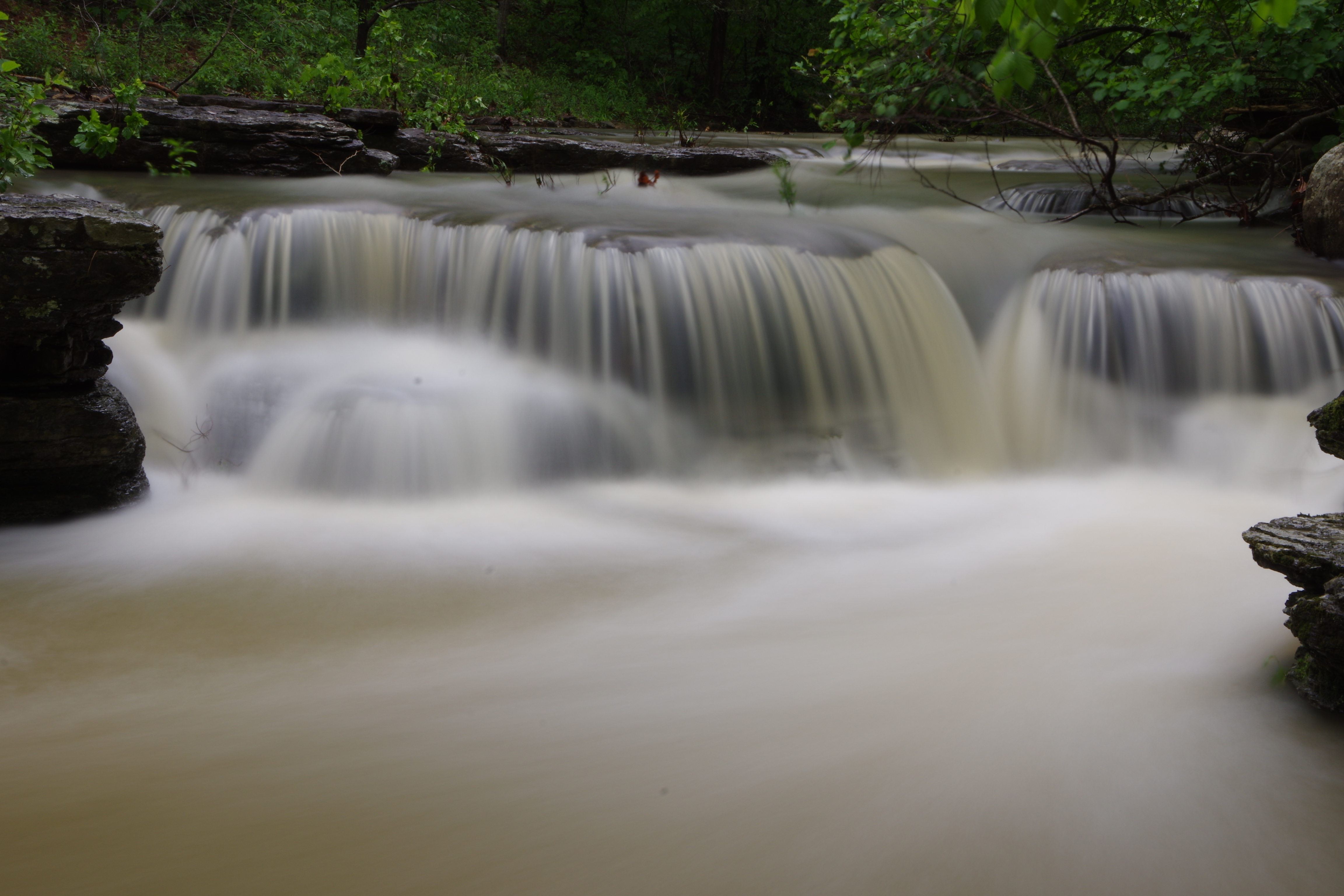
WF #1 Fiddlehead Falls
35.53653°, 92.86113°
(Named by John Moore)

WF #1a
35.53652°, 92.86286°
Parking Area "B" FR 93405K
35.53507°, 92.87201°
(The FR on down to the camp area
would require 4-WD, not very wide in places)
FR 93405K to camp area

Deer Camp
Access Point "E" 35.52862°, 92.87716°
(At camp area FR 93405K continues straight,
there is a faint road the heads off to the left, this is
the road/trail you want to take).
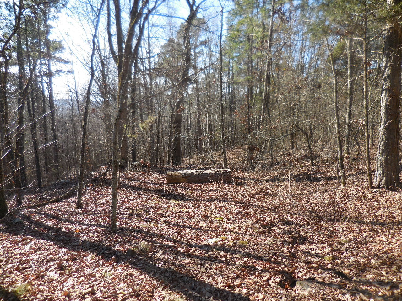
The faint road to the left has a pine log across it.
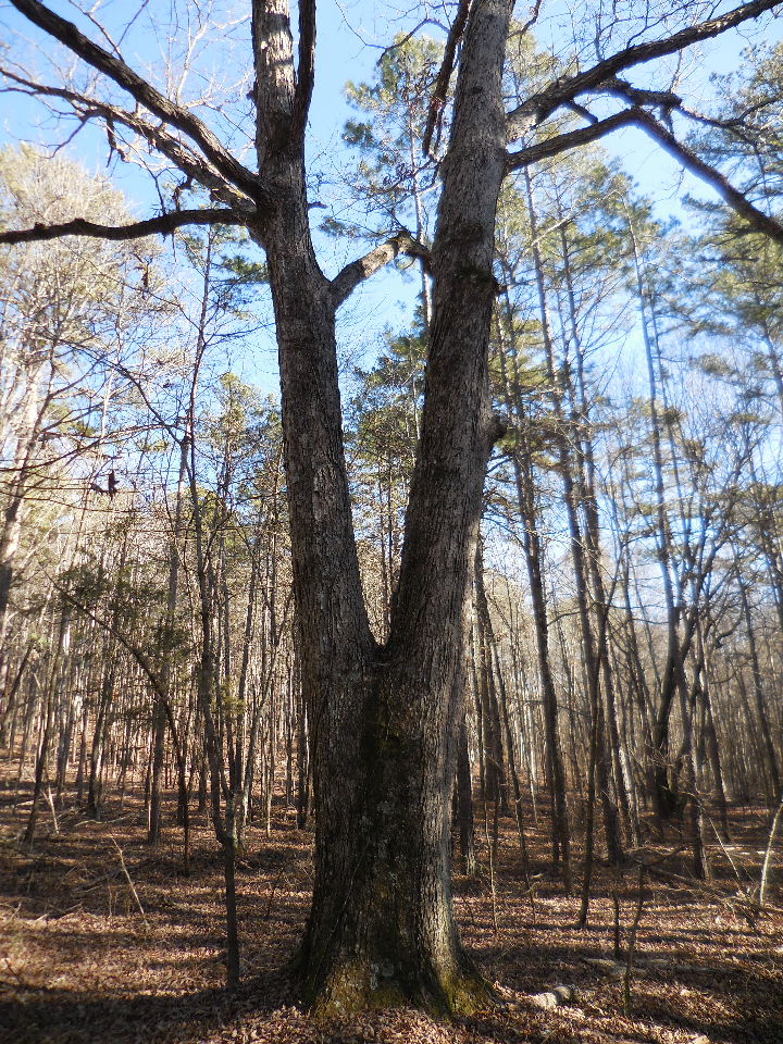
Following the faint road/trail to this twin White Oak.
Access Point "F" 35.52705°, 92.87912°
At the White Oak turn south and follow trail out
to edge of mountain.

After you leave the twin White Oak, you will hike
across an open area with scattered trees.
Access Point "G" 35.52490°, 92.88127°
is south of this area.

Once at the edge of the mountain, head along the
top in a SE direction until you see a faint trail
heading down. I follow this trail all the way to a ravine
and then go to the creek which will be east of Blue Hole.
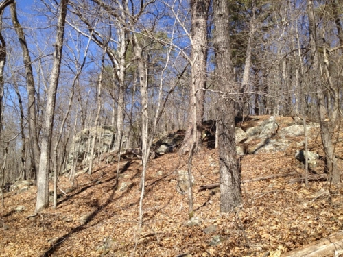
Some folks head down once they see the rock (pic
to the left) and go straight down to the creek.
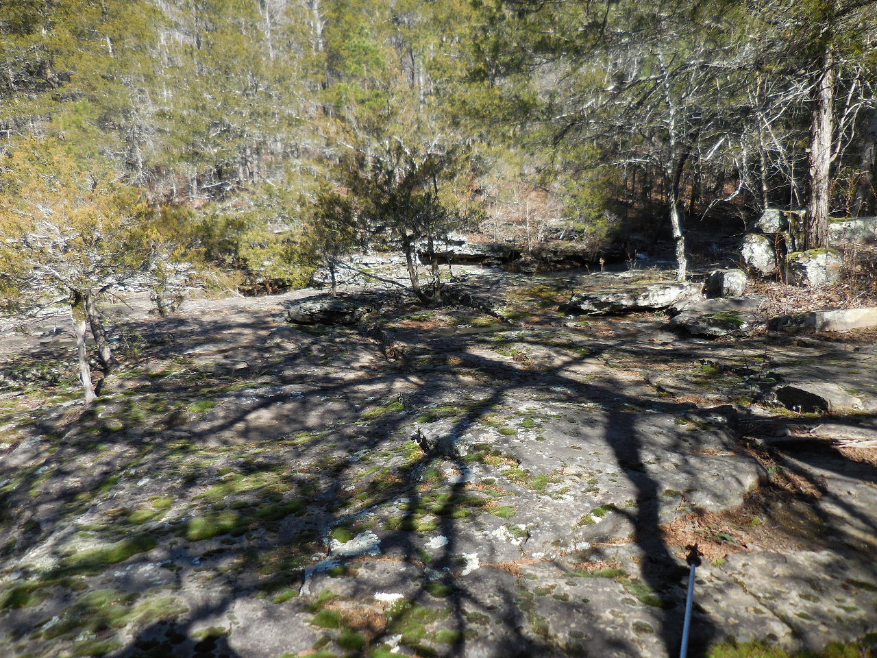
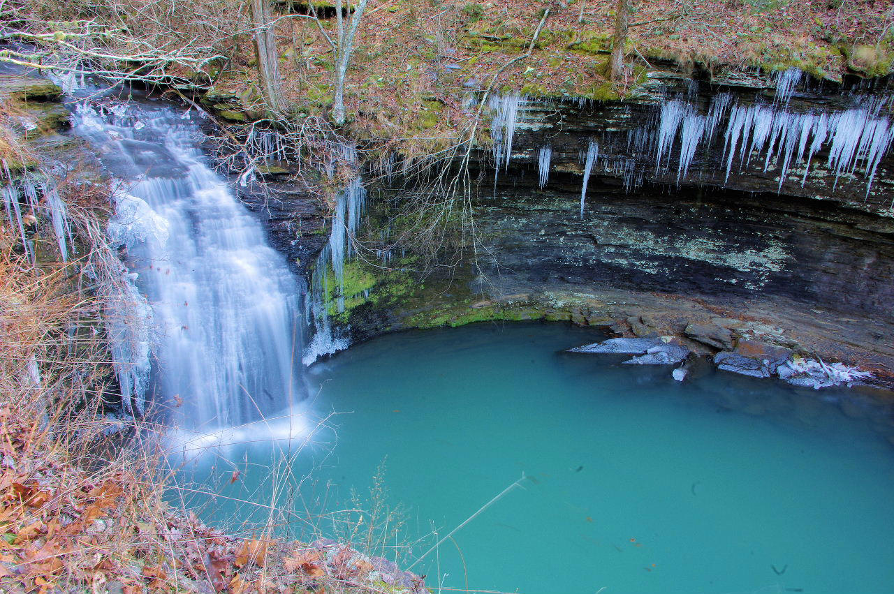
Once you get to the Blue Hole there is a large
rock "patio" for you to enjoy your lunch.
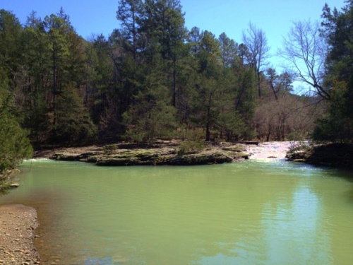
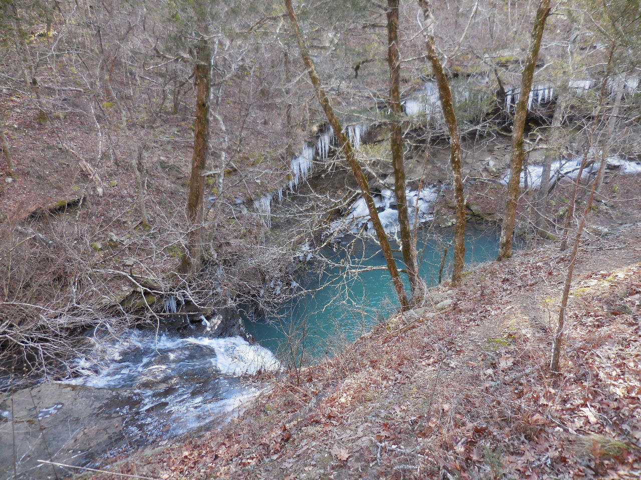
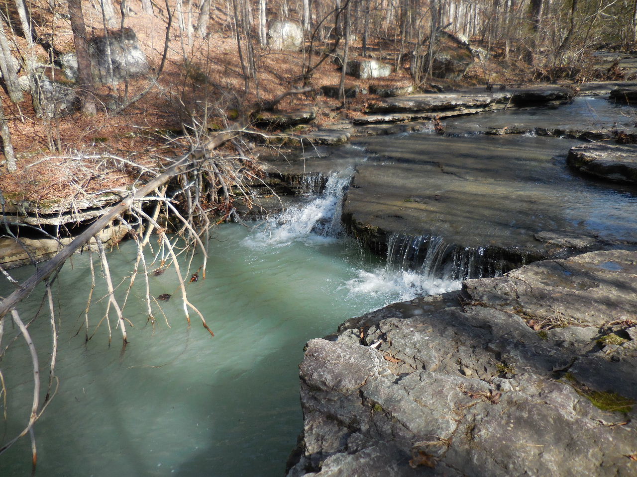
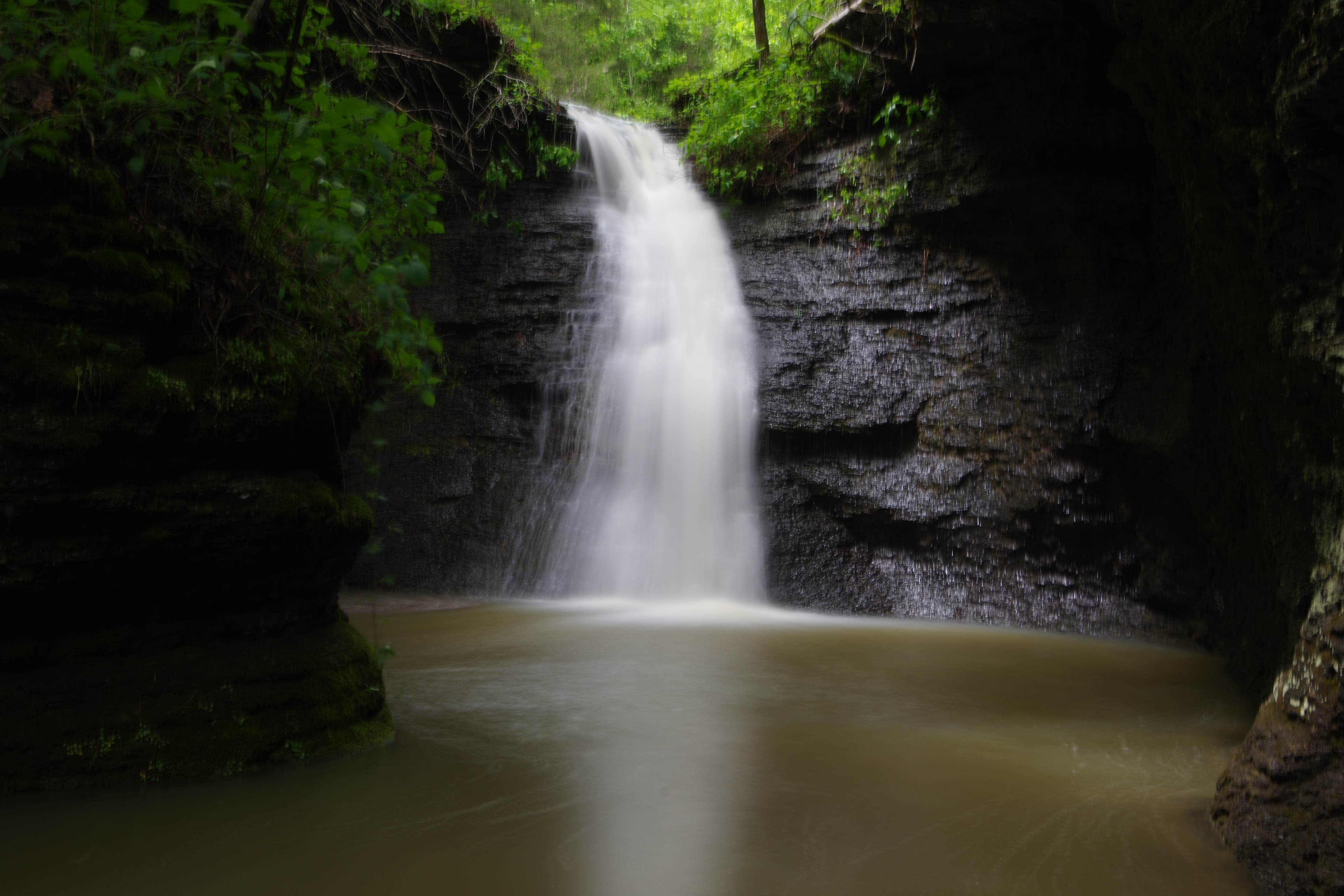
WF #2 Blue Hole
Intersection (Looking East & South)
35.52098°, 92.88063°

WF #3
35.52021°, 92.88016°
WF #4
35.51970°, 92.88002°
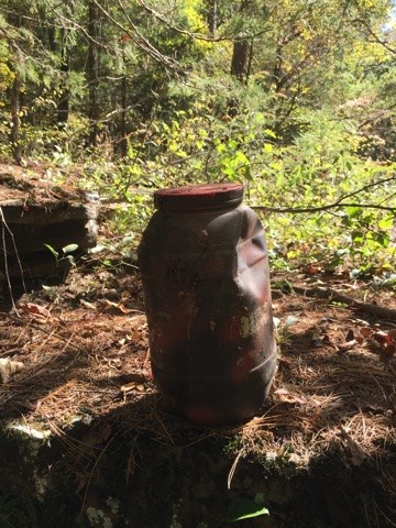
There is The Blue Hole Cache located at
WF #4 (GCGP2T)
35.51970°, 92.87997°

Hint: Look for stacked rocks.
Cache is near.
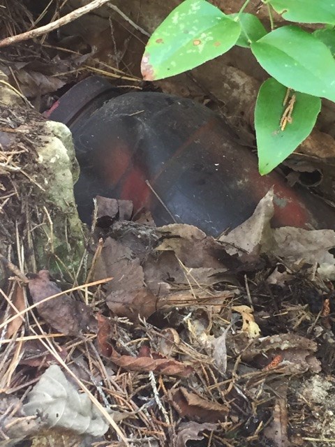
Geocache is a Plastic Jug

WF #5
35.52137°, 92.87909°
WF #6
35.52389°, 92.87244°
On your way to Green Grotto Falls
you will have to go back and forth across creek.
WF #7
35.52419°, 92.87015°
This is located at the intersection of Green
Grotto Falls drainage and Hurricane Creek

This is view heading up Green Grotto drainage.
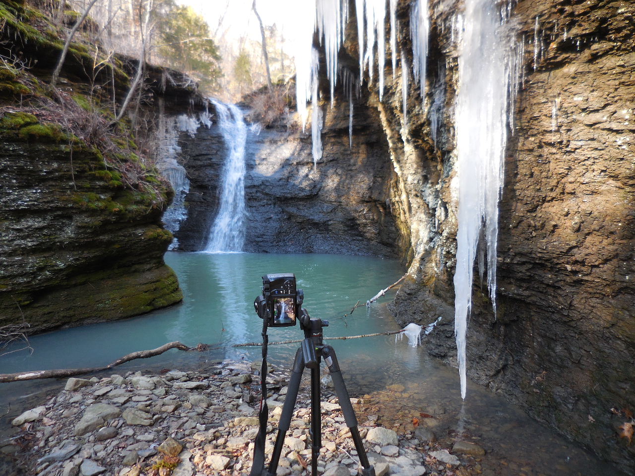
Hopefully there will be water when you arrive!
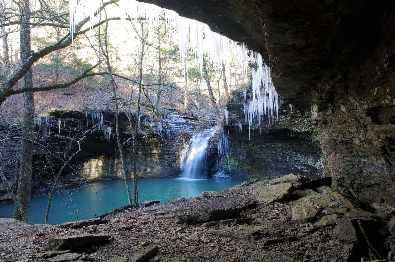
WF #8 Green Grotto Falls
35.52586°, 92.86998°
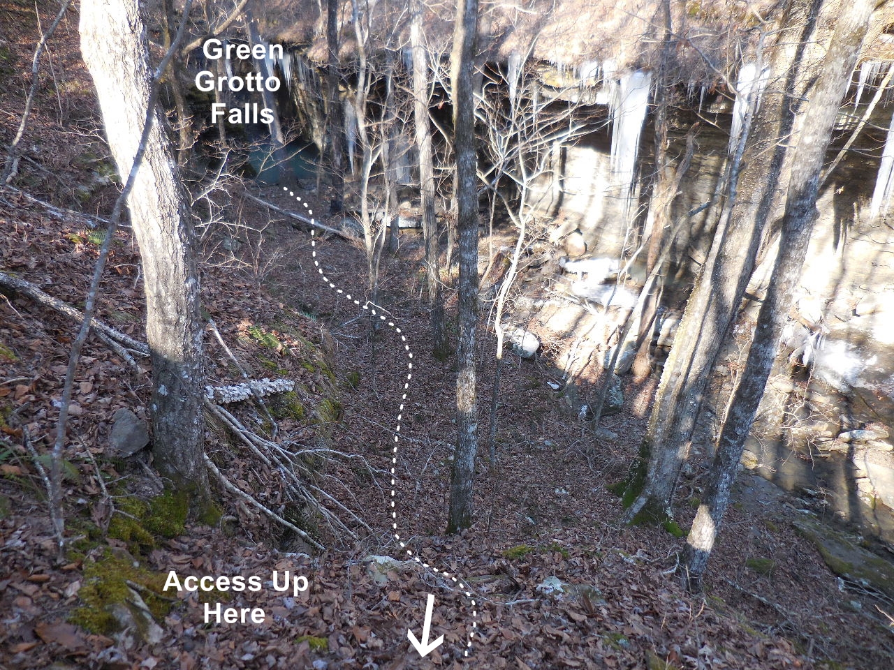
To get out of grotto head back down drainage
and climb up at this point.
Access Point "H" 35.52576°, 92.86969°
(You can follow an old logging road part way up hill)
straight up hill to old home site.
35.52918°, 92.87428°
(Only thing left of home site is a few stacked
rocks and piles of rocks in a once cleared area)
old home site.
Access Point "D" 35.52940°, 92.87461°
Now head back up road to Parking Area.
You are finished!
Intersection of White Oak Mt. Road (FR 1301)
and Lindsey Road (FR 1311)
Parking Area "C"
35.54491°, 92.90145°
(+- 3.7 miles from intersection FR 1301 & 1311)
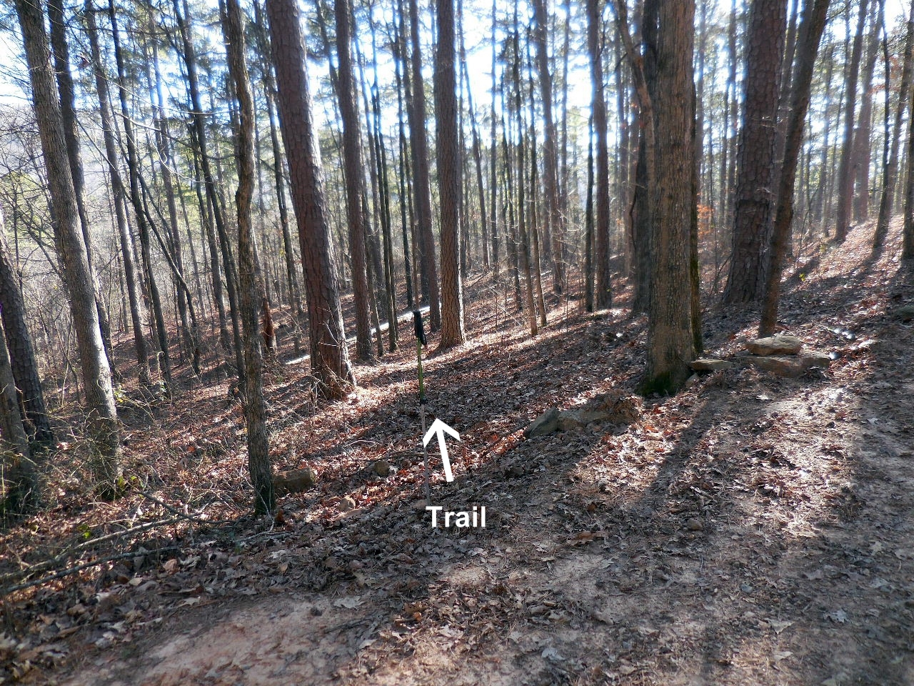
Trail heading south
(Heads down into a small ravine)
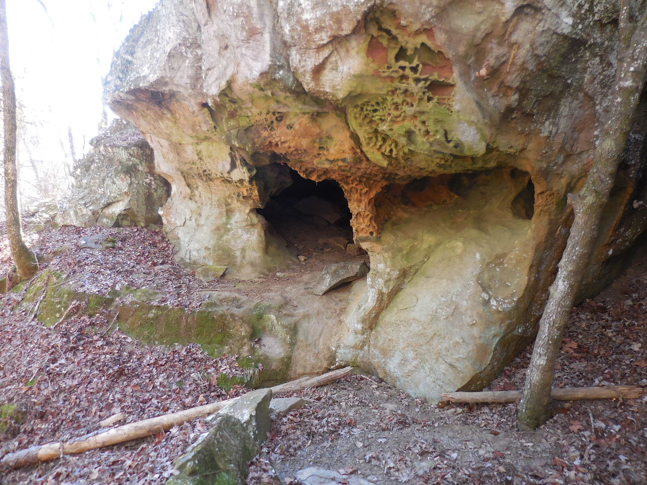
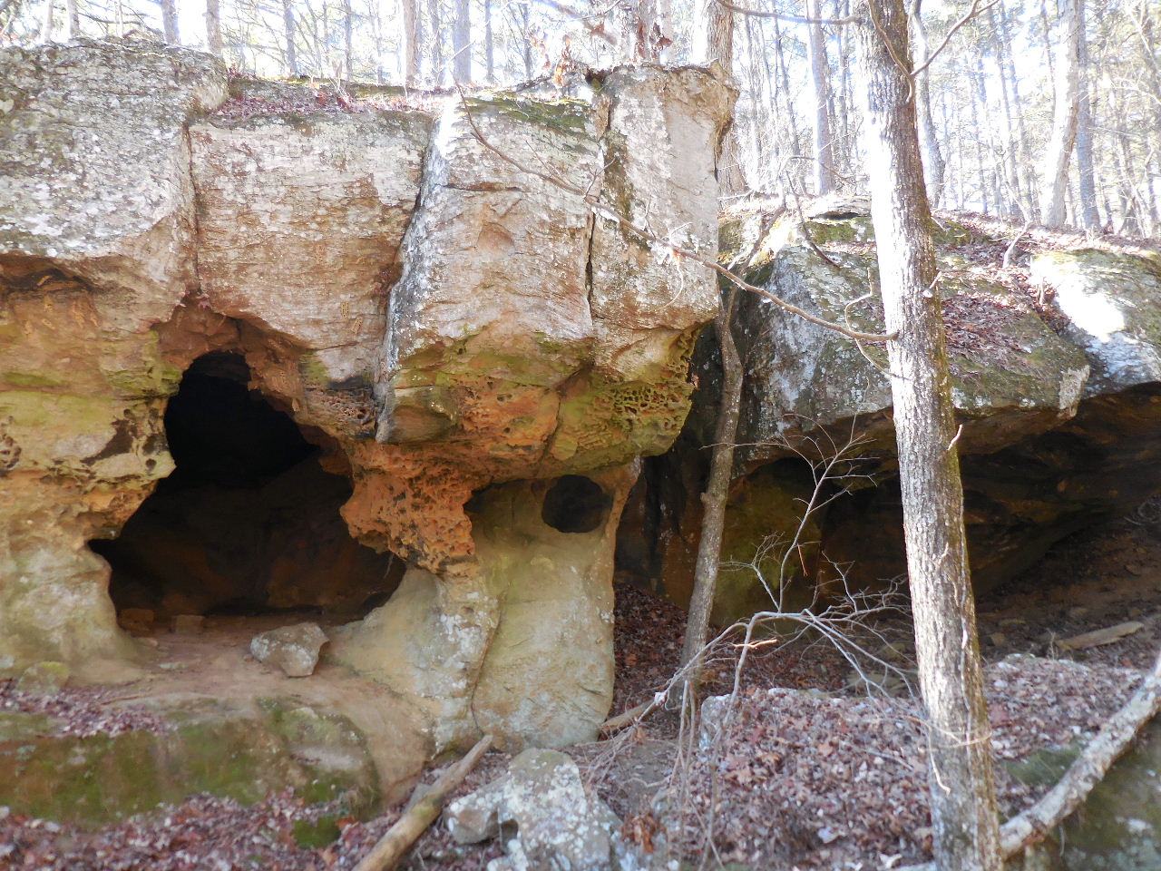
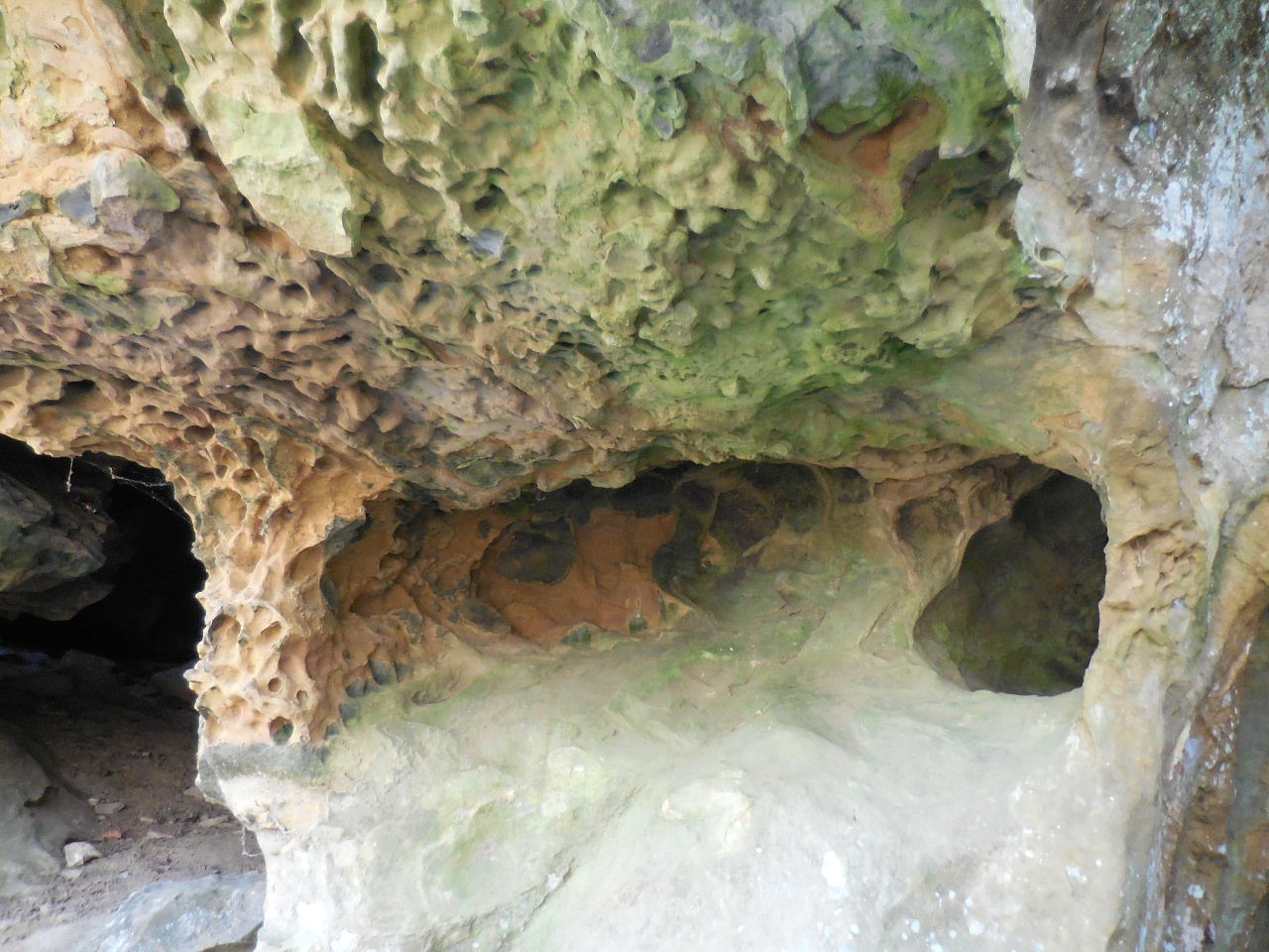
Sand Cave
35.54430°, 92.90148°
(This is a link to a YouTube video of cave)
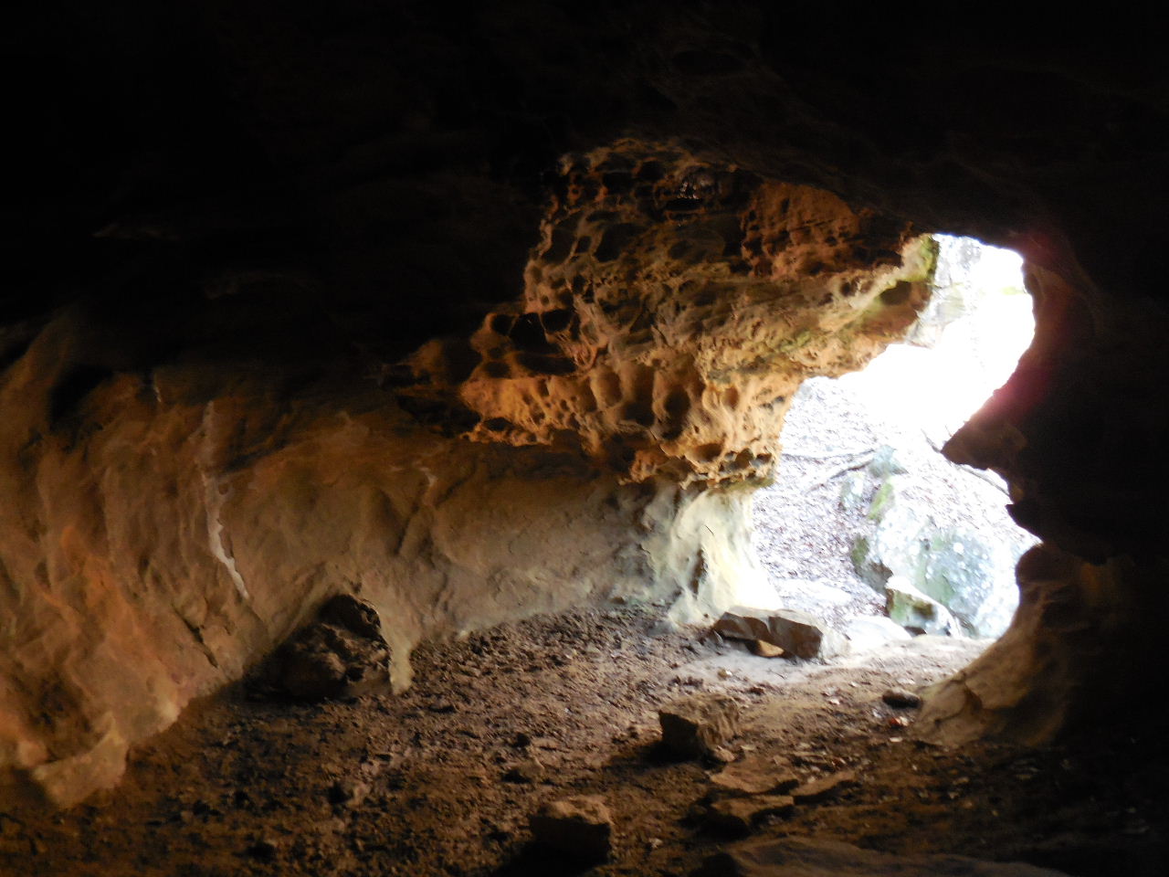
Note face profile on right side.
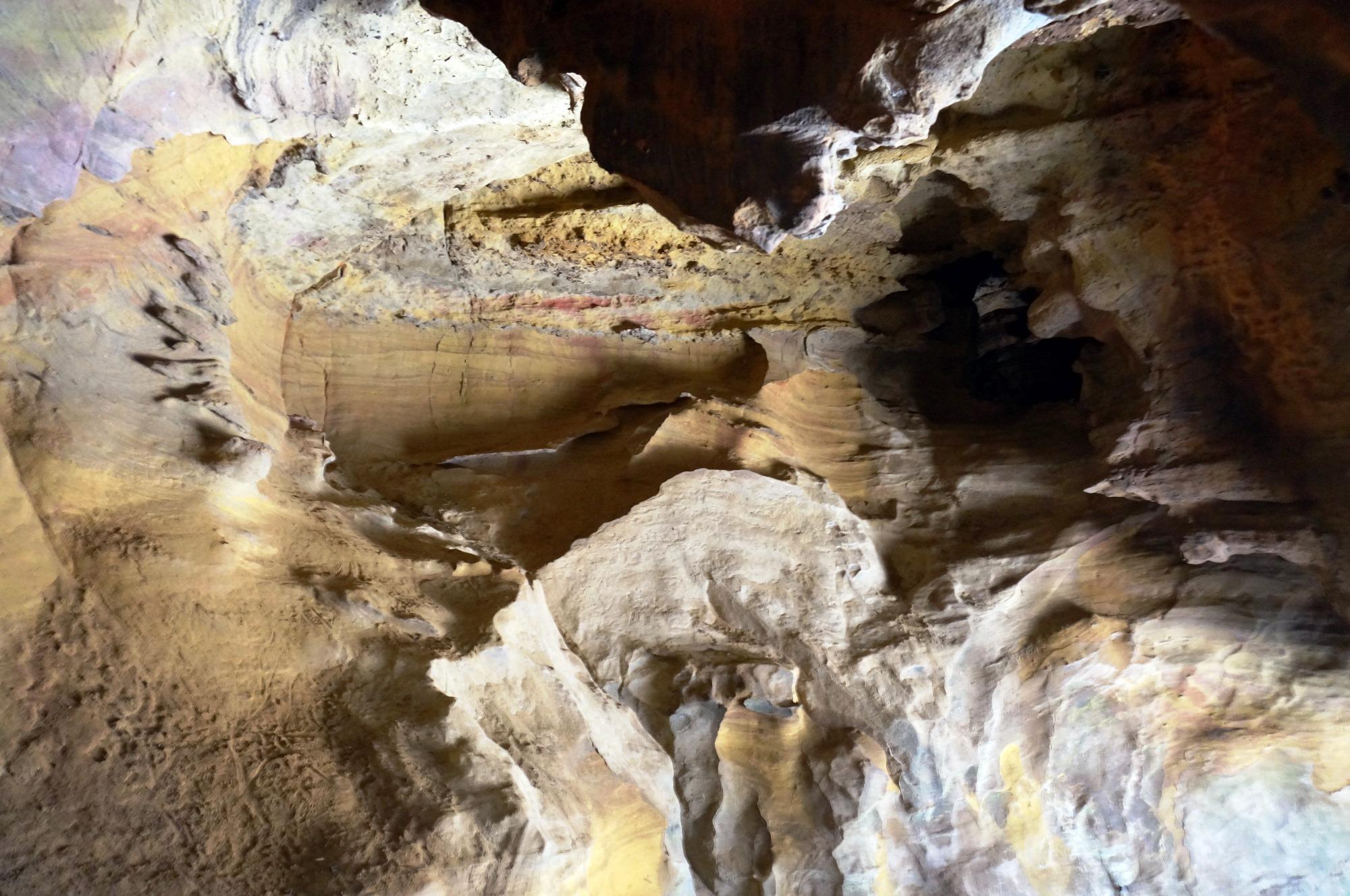
Inside cave-Photo by Daniel-Shelly Frew