.jpg)
| TAKAHIK River Valley Hikers |
| Home Scheduled Hikes Pictures Videos Membership Links Trails & Waterfalls Mushrooms Products In Memory Of |
| DISMAL HOLLOW RESEARCH NATURAL AREA |
.jpg)
| The route for
the following photos is from Access Point "A" and heading to WF #1 and
WF #2 and then accessing to the top of bluffs at Access Point "B".
Follow top of bluffs to Access Point "C" to bottom of Bear Crack; up Bear Crack to top again and then at Access Point "D" go below bluffs and following bottom of bluff line back to Access Point "B" and either head to Access Point "A" or head up hill to Access Point "E" and walk road back to Access Point "A". Please Note: Access Point "E" crosses private property at curve of road. We have been asked to NOT park in this area by the owner. |
 Parking Area 35.84712°, 93.30515° |
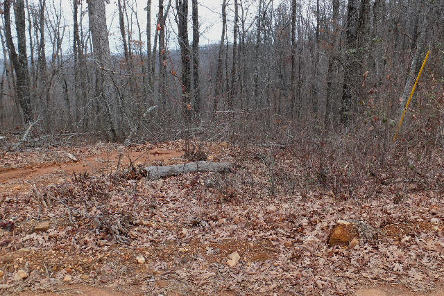 Access Point "A" (Old Road) 35.84655°, 93.30545° |
 Power Pole next to Access Point |
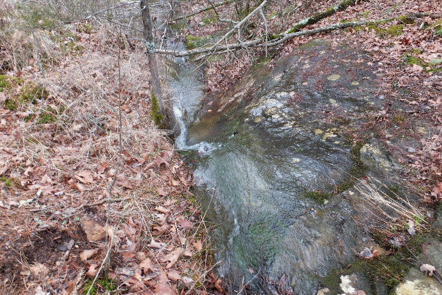 WF #1 35.84552°, 93.29803° |
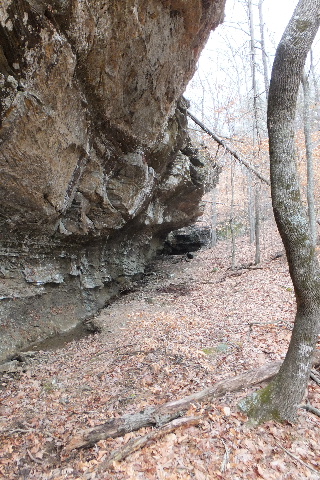
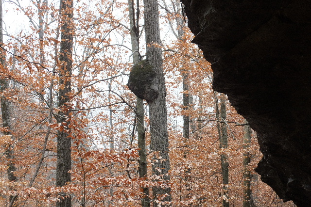 Bear Up a Tree Grotto 35.84622°, 93.29612° |
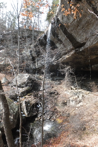
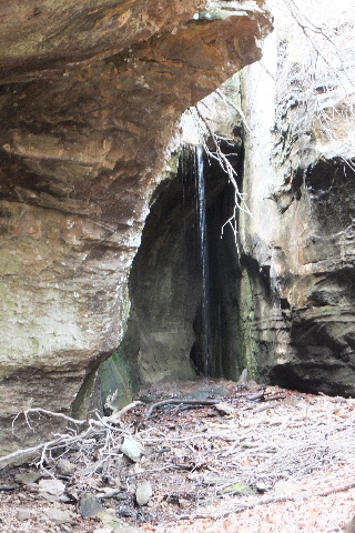
 WF #2 Dismal Hollow Falls 35.84675°, 93.29402° |
 Bluff above WF #2 (North Side) (Follow this bluff to access top) Access "B" 35.84715°, 93.29293° |
 Upper WF #3 35.84817°, 93.29207° |
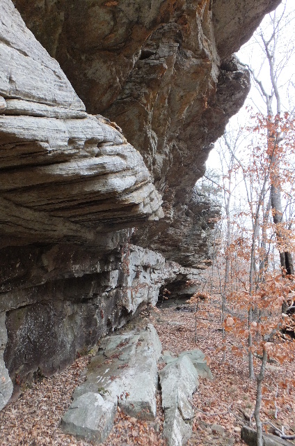
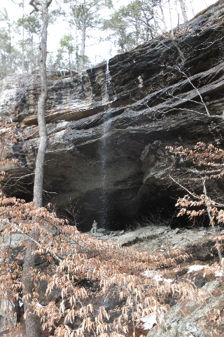
 WF #4 (On shear bluff line) 35.84810°, 93.28810° (Dismal Shelter lies below this waterfall) |
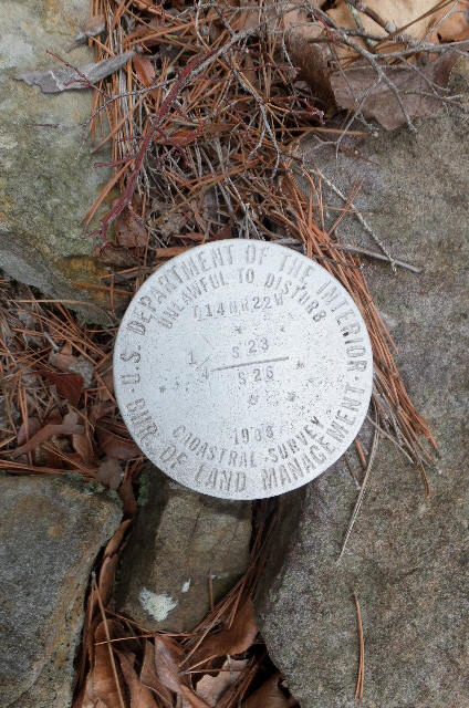 Survey Monument 35.84810°, 93.28743° |
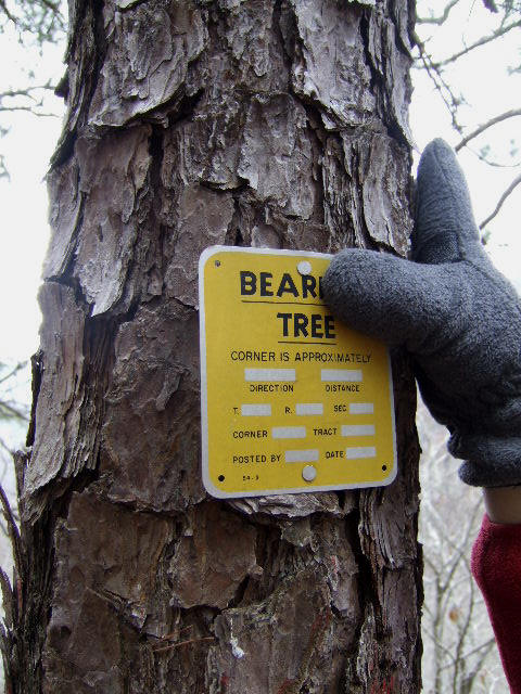 Bear...ing Tree Sign |
 Honey Tree 35.84805°, 93.28737° |
 Upper Waterfall #5 35.85018°, 93.28365° |
 Lower Waterfall #5 & Grotto 35.84980°, 93.28310° (There is still another waterfall below this) |
 Inside Grotto at Lower Waterfall #5 |
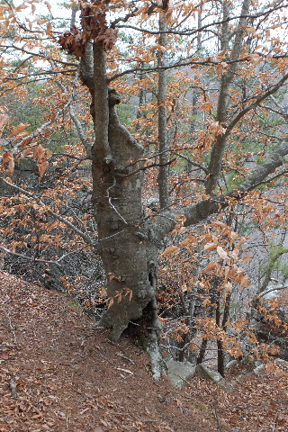
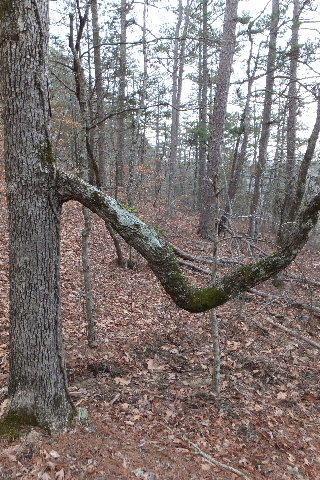 Swing Tree 35.85117°, 93.27862° |
 Ledge around to botton of Bear Crack Access Point "C" 35.85088°, 93.27802° |
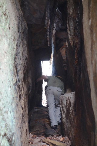
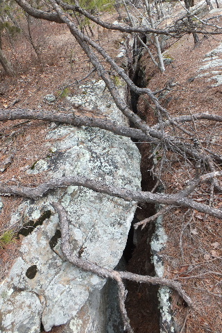
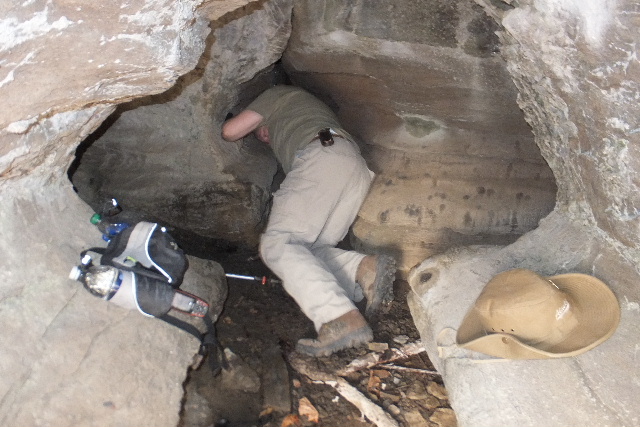
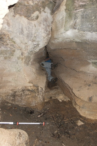
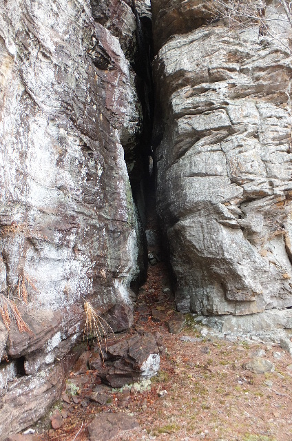 Bottom of Bear Crack 35.85038°, 93.27708° (You can crawl up BC to access top) |
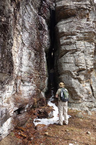 A tight squeeze in places |
 |
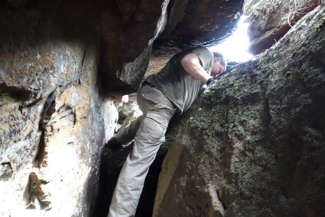  Exiting at top |
 Top of Bear Crack (West End) |
 View from Top of Bear Crack 35.85042°, 93.27712° |
 Top Bear Crack (East End) |
 Bulge Pine 35.85060°, 93.27433° |
 WF #7 35.85153°, 93.27538° |
 Bluff line leading to WF #7 |
 Unique Beech Tree 35.85060°, 93.27433° (You can actually access bottom of bluffs at this point also. Just to the west of the tree) |
 Access Point "D" 35.85080°, 93.27305° |
 Wild Pig Grotto 35.85103°, 93.27277° (This is fartherest point east) |
 35.85103°, 93.27277° Rock wall just downhill and west of Wild Pig Grotto |
.JPG) Waterfall #6 35.85188°, 93.28008° |
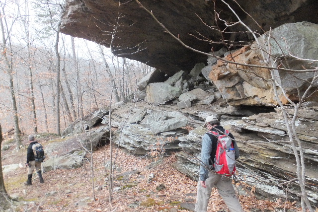 Base of bluff line heading west to caves |
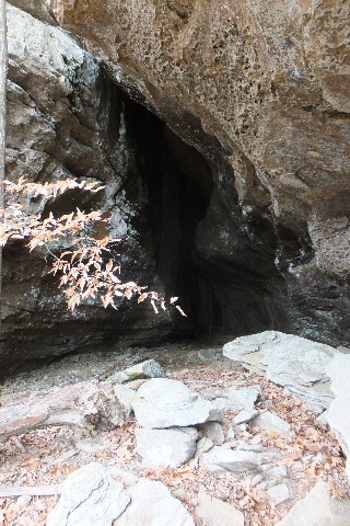
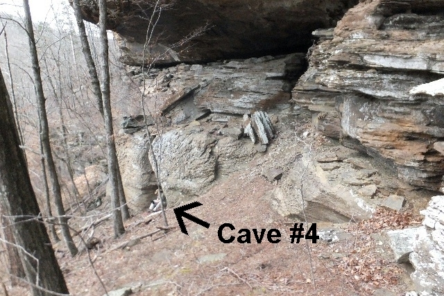 Cave #4 Front Entrance (This is east cave) |
 Cave #4 Front Entrance 35.84777°, 93.28617° |
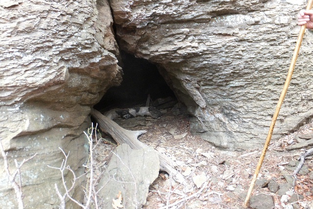
 Cave #4 Side Entrance (West of Front Entrance) |
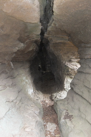
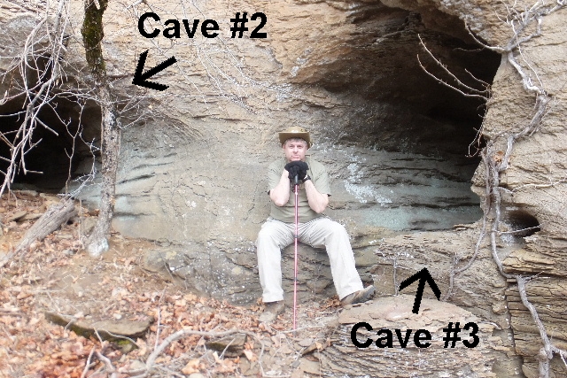 Cave #2 and #3 Entrances 35.84783°, 93.28653° |
 Inside Cave #3 (Note side entrance) |
 Cave #3 Side Entrance |
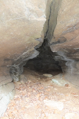
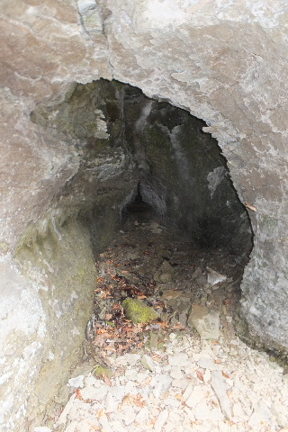
 Cave #2 Entrance |
 Cave #2 |
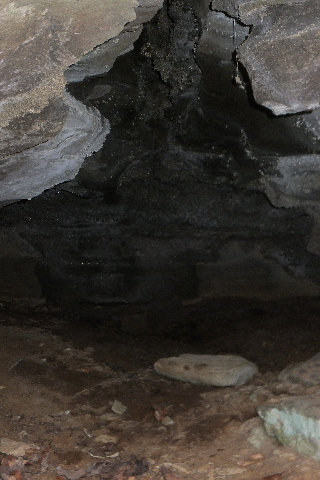 Cave #2 |
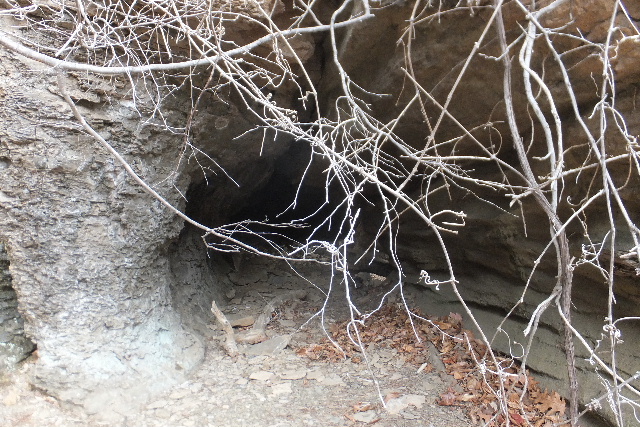
 Cave #1 and #1a behind vines |
 Entrance Cave #1a |
 Cave #1a |
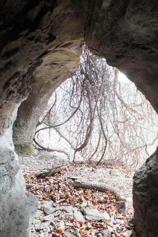
 From inside Cave #1a looking out |
 Entrance Cave #1 35.84782°, 93.28648° (Caves #1 & #1a located west of Cave #2) |
 Inside Cave #1 |
 Deeping inside Cave #1 |
 Even deeping inside Cave #1 |
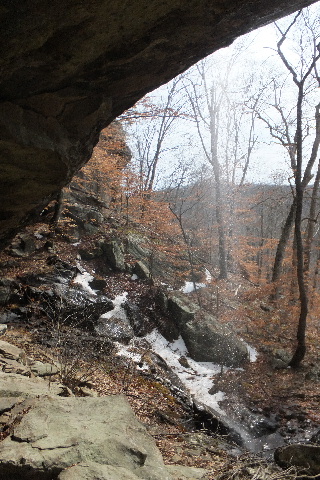
 From inside looking out of Cave #1 |
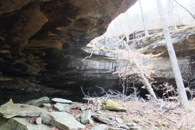
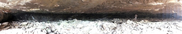 Dismal Shelter 35.84812°, 93.28780° (Measurements: 135' wide, 75' deep) |
||
 Dismal Shelter and WF #4 |
 Dismal Shelter and WF #4 |
 Lower WF #3 35.84767°, 93.29178° |
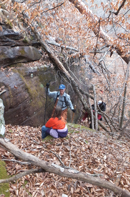 Access Up 35.84715°, 93.29293° |
 Crossing Private Property at Access Point "E" |
 Access Point "E" 35.85025°, 93.29620° (Note: NO Parking Here) .JPG) If you park here you may get a note like this... or even worse! |