.jpg)
Cave Closure Order Extended for Five Years
Cave Closure Link: Click Here
Release Date: Jun 30, 2014 Forest Managers Hopeful a Cure Can Be Found for Deadly Bat Disease
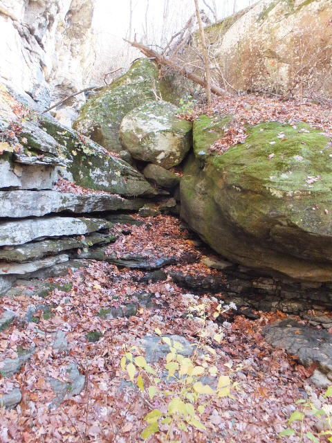
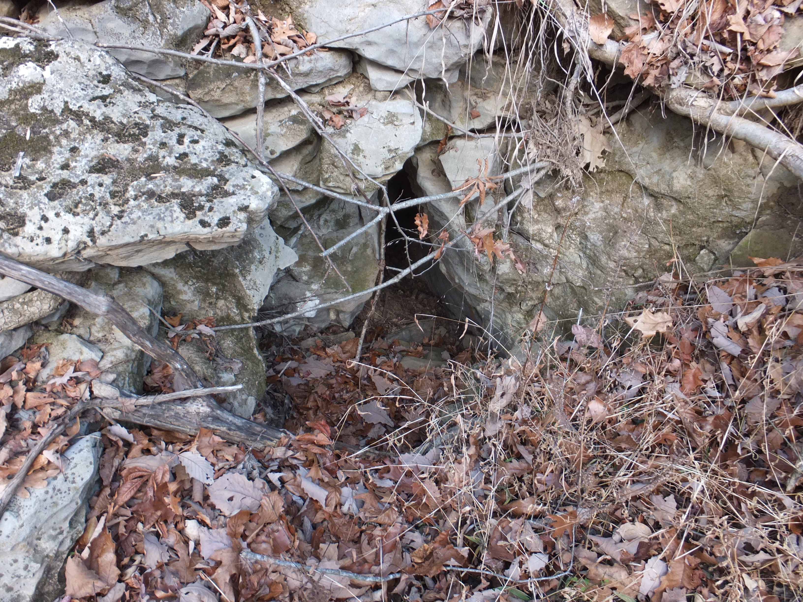
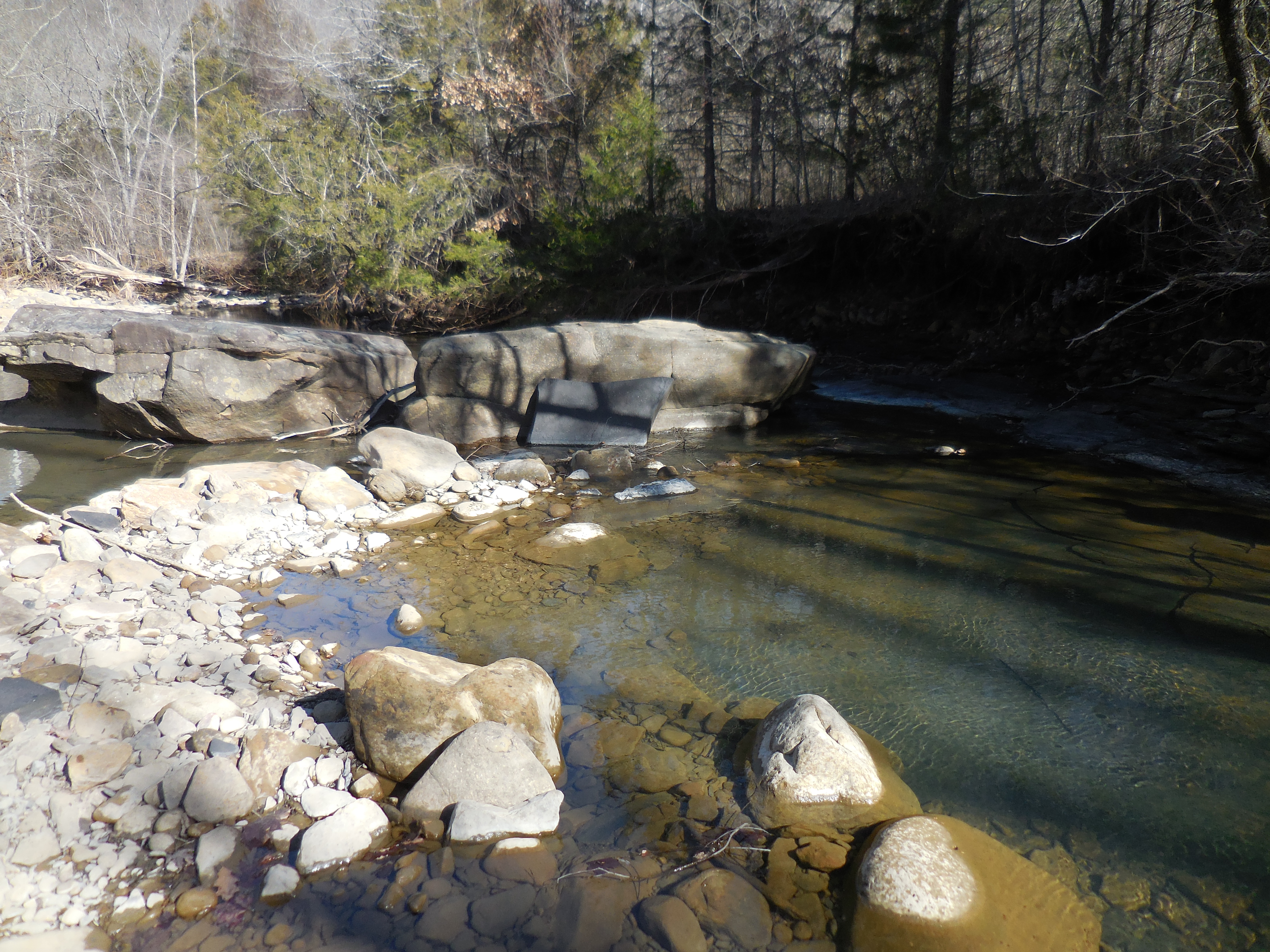
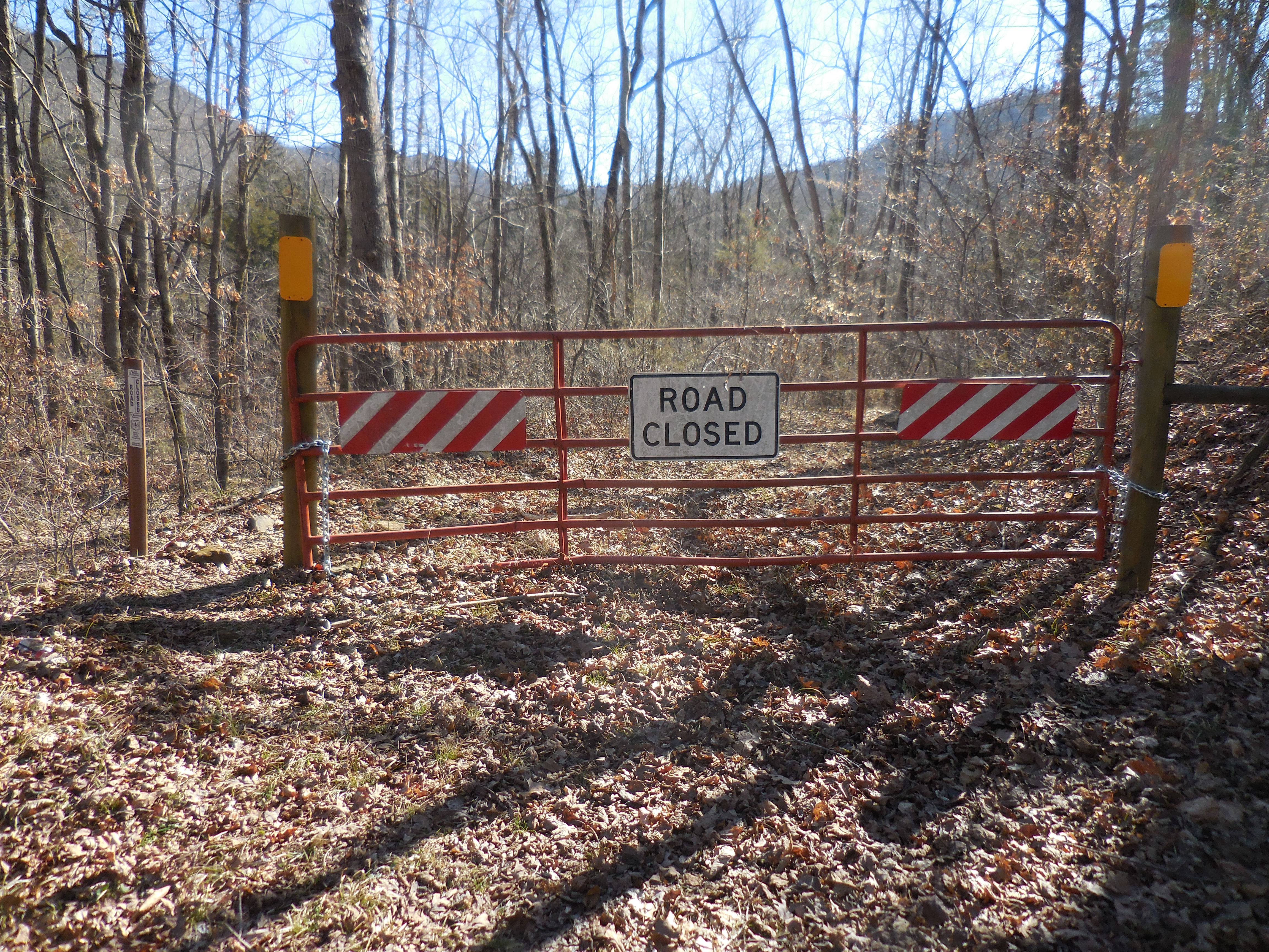
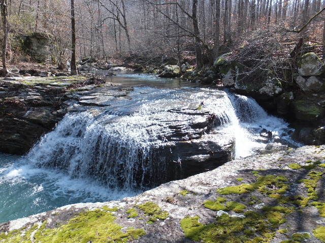
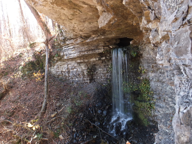
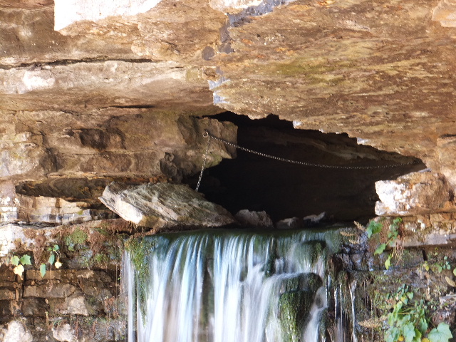
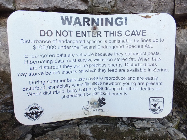
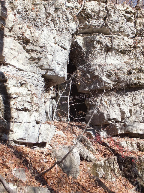
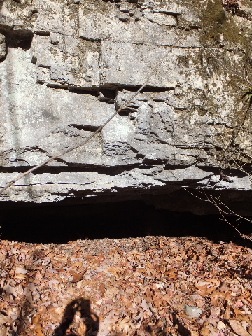
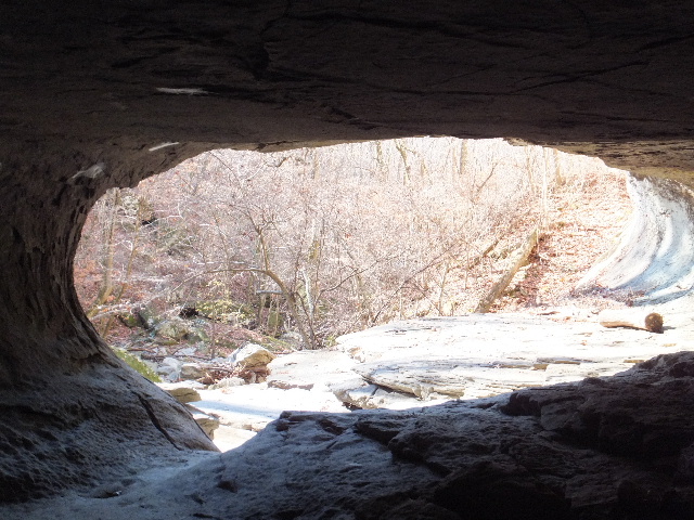
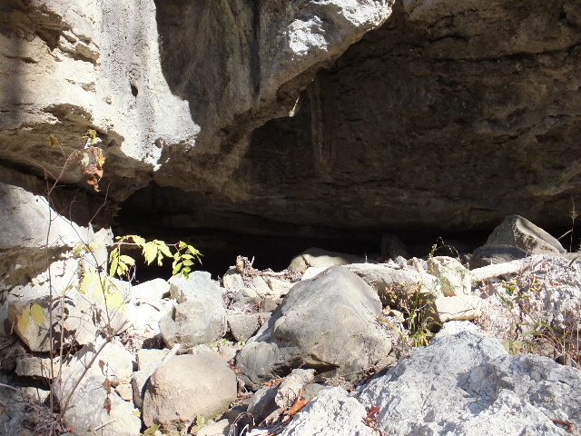
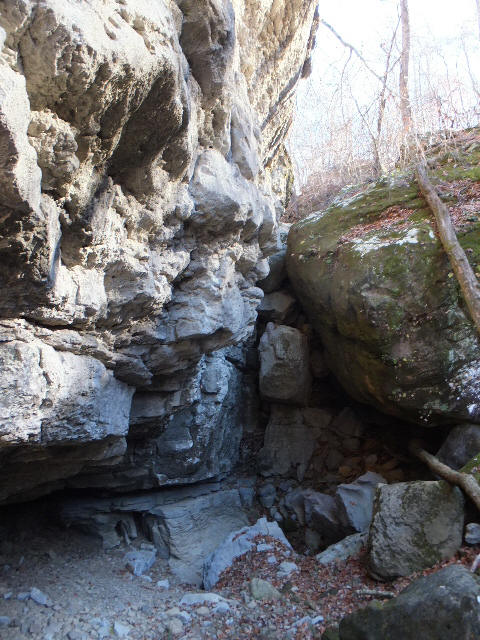
RUSSELLVILLE, Ark. -- The Regional Forester for the Southern Region of the U.S. Forest Service has extended the closure order for all caves and mines on National Forest system lands until 2019 to help prevent the spread of white-nose syndrome, a disease fatal for many species of bats. “Scientists are working on potential solutions to the spread of the disease,” said Steve Duzan, Environmental Coordinator for the Ozark-St. Francis National Forests. “The five year closure period should allow scientists to flesh out findings, allow for laboratory testing of potential solutions, and allow field trials of white-nose fighting organisms. The closure will minimize spread of the disease due to humans transporting spores of the fungus to caves that presently have no white-nose spores in them.” In an effort to prevent the human spread of the disease by clothes or equipment, most federal and state caves have been closed to the public. In Arkansas’ national forests, all caves are closed, with the exception of Blanchard Springs Caverns in Stone County. Blanchard Springs Caverns follows U.S. Fish & Wildlife sanitation protocols for visitors.Confirmed to be present in Arkansas caves in 2013, the deadly fungus causes bats to awaken during hibernation. It is believed to cause bats to use up their fat reserves rapidly during hibernation. Affected bats fly out of caves during winter in an attempt to find food, however, since the insects they eat are seasonally dormant, the bats die of starvation. The fungus has killed nearly seven million bats in the New England and Mid-Atlantic States and continues to spread unchecked. “We beseech everyone to stay out of caves and spread the word that national forest caves are closed for the sake of our bats, and to prevent the loss of all the benefits they provide for us,” Duzan said. “With millions of bats already dead, it is more important than ever that we remain vigilant!”Finding a cure for the fungus is important to the nation’s agricultural system because batsplay such a key role in keeping insects, including agricultural pests, mosquitoes, and forest pests under control. Violation of the cave closure order could result in fines up to $5,000 for an individual and $10,000 for an organization or imprisonment for up to six months, or both.
For more information on the cave closure order and White Nose Syndrome, visit http://www.fs.usda.gov/detail/osfnf/home/?cid=STELPRDB5213741.
.JPG)
.JPG)
.JPG)
%20(2).jpg)
.jpg)
.jpg)


%20(2).jpg)
%20(2).jpg)
%20(2).jpg)
%20(2).JPG)
%20(2)%20(2).JPG)
%20(2).jpg)
.JPG)
%20(2).jpg)
.jpg)

%20(2).JPG)

.jpg)