| TAKAHIK River Valley Hikers |
| Home Scheduled Hikes Pictures Videos Membership Links Trails & Waterfalls Mushrooms Products In Memory Of |
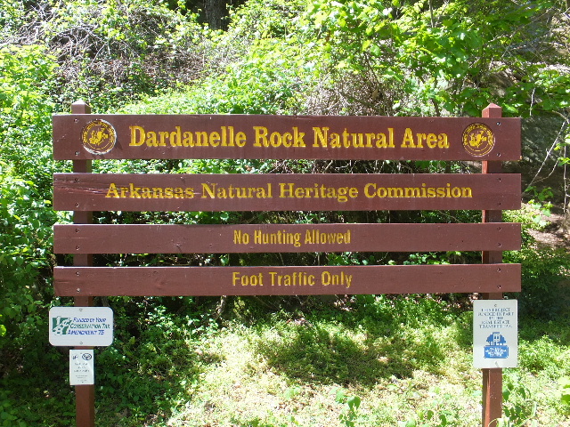
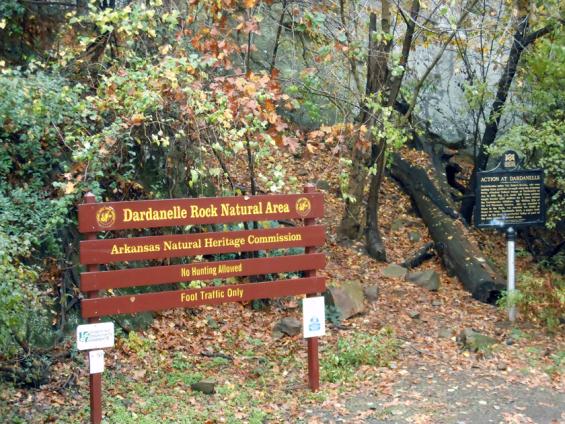
| DARDANELLE ROCK NATURAL AREA |
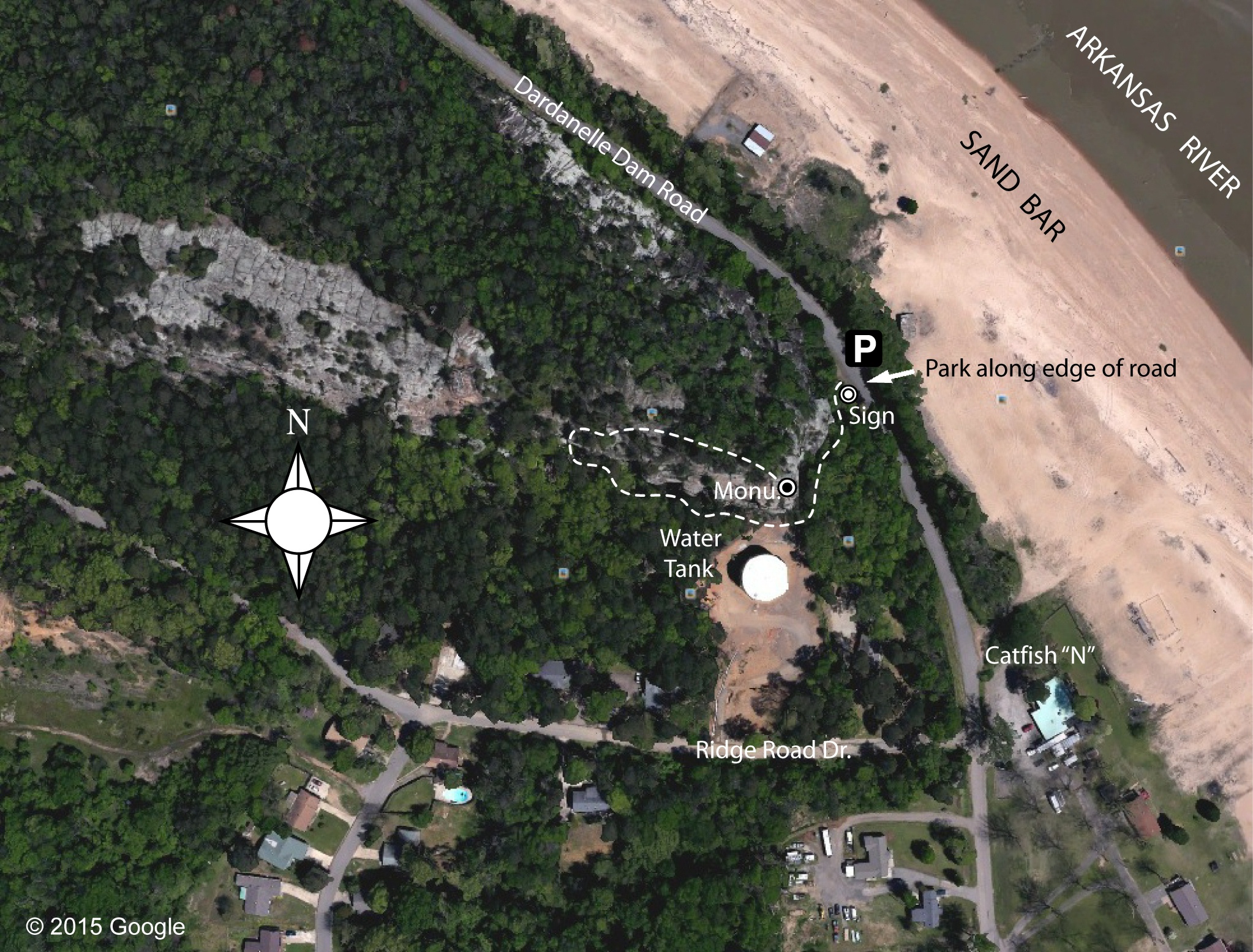
Map Prepared by TAKAHIK River Valley Hikers
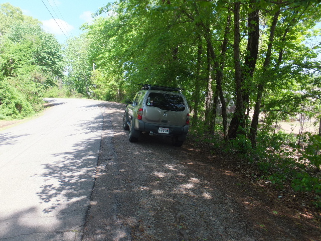 Parking Area (Limited) 35.23742°, 93.16321° |
 Trailhead 35.23745°, 93.16342° |
 Dardanelle Rock Landmark Sign |
 Beginning of Trail |
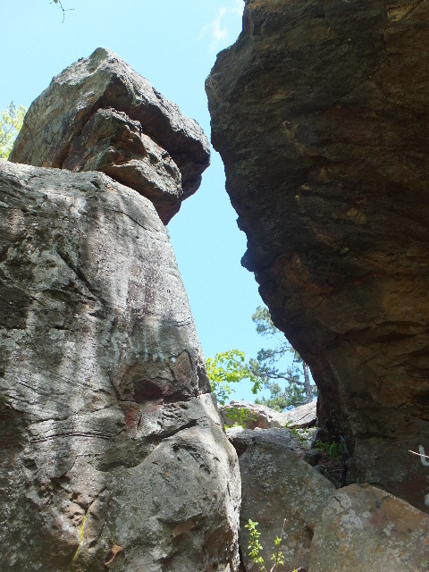
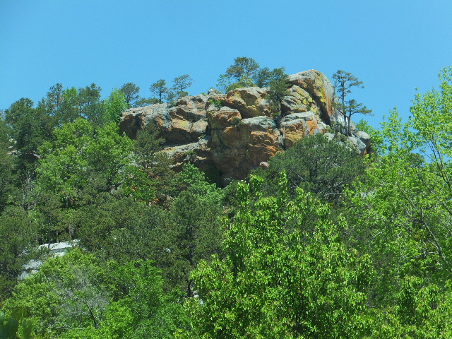
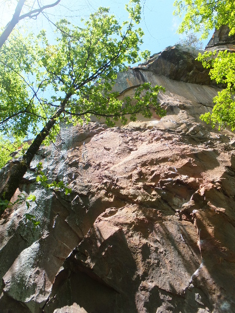 Rock Climbing Area |
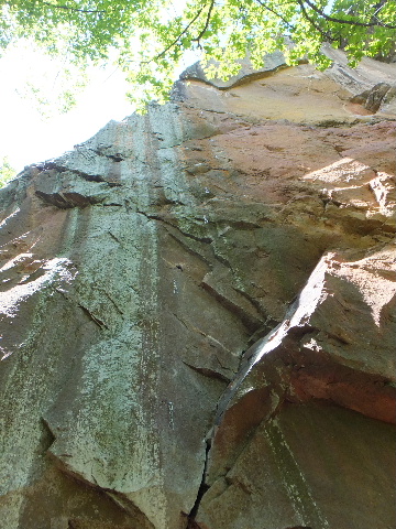 Rock Climbing Area |
 Water Tank |
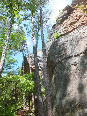 Trail follows base of bluffs |
 Access up |
 Access to top |
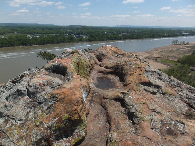
 Top of Rock looking Northwest |
 Top of Rock looking Southeast |
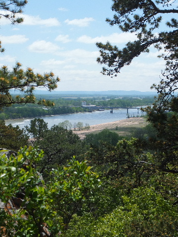
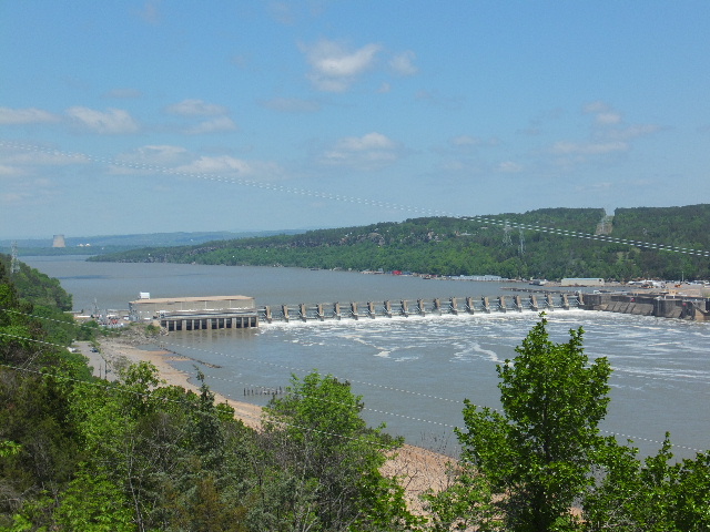 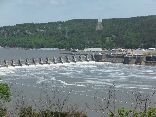 View of Dardanelle Dam |
 Top of Rock and Trail |
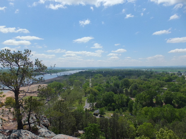  View of Dardanelle Bridge |
 View of Mt. Nebo |
 East end of Dardanelle Rock |
 Trail Marker |
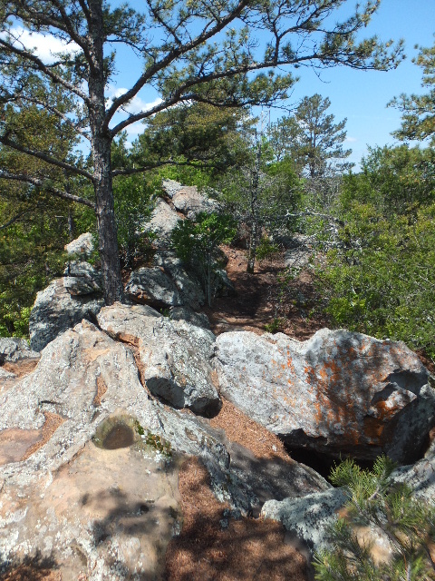
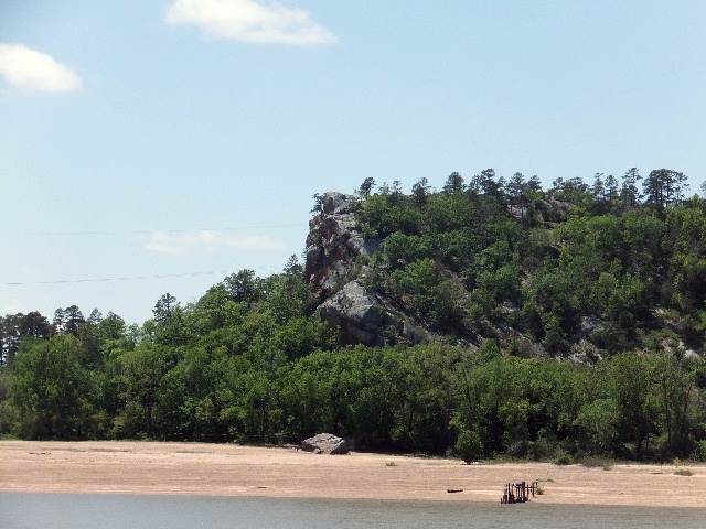 Dardanelle Rock |
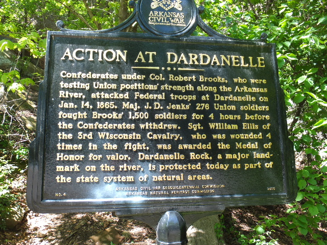
 Monument at East end 35.23699°, 93.16374° |
 Dardanelle Rock |
.JPG)
History of Dardanelle Rock
Dardanelle Rock has been a major landmark along
the Arkansas River since the days of early Arkansas exploration.
There is a romantic "Legend of Dardanelle Rock" that relates the story of a
Cherokee Indian chief named Dardanelle
who was wounded in a fierce battle with the Choctaws and while recuperating,
fell in love with a beautiful maiden named Leonietta.
They made a pact. He was to stand on Dardanelle Rock at sunset, and she
would wave her mantle to him as a signal that she would
run away with him and become his bride. He waited on the rock for many
hours, but for some reason she failed to make an appearance.
He flung himself into the turbulent stream of the Arkansas River below.
Thus Dardanelle Rock was named for him.
NOTE: This is just a Legend.