
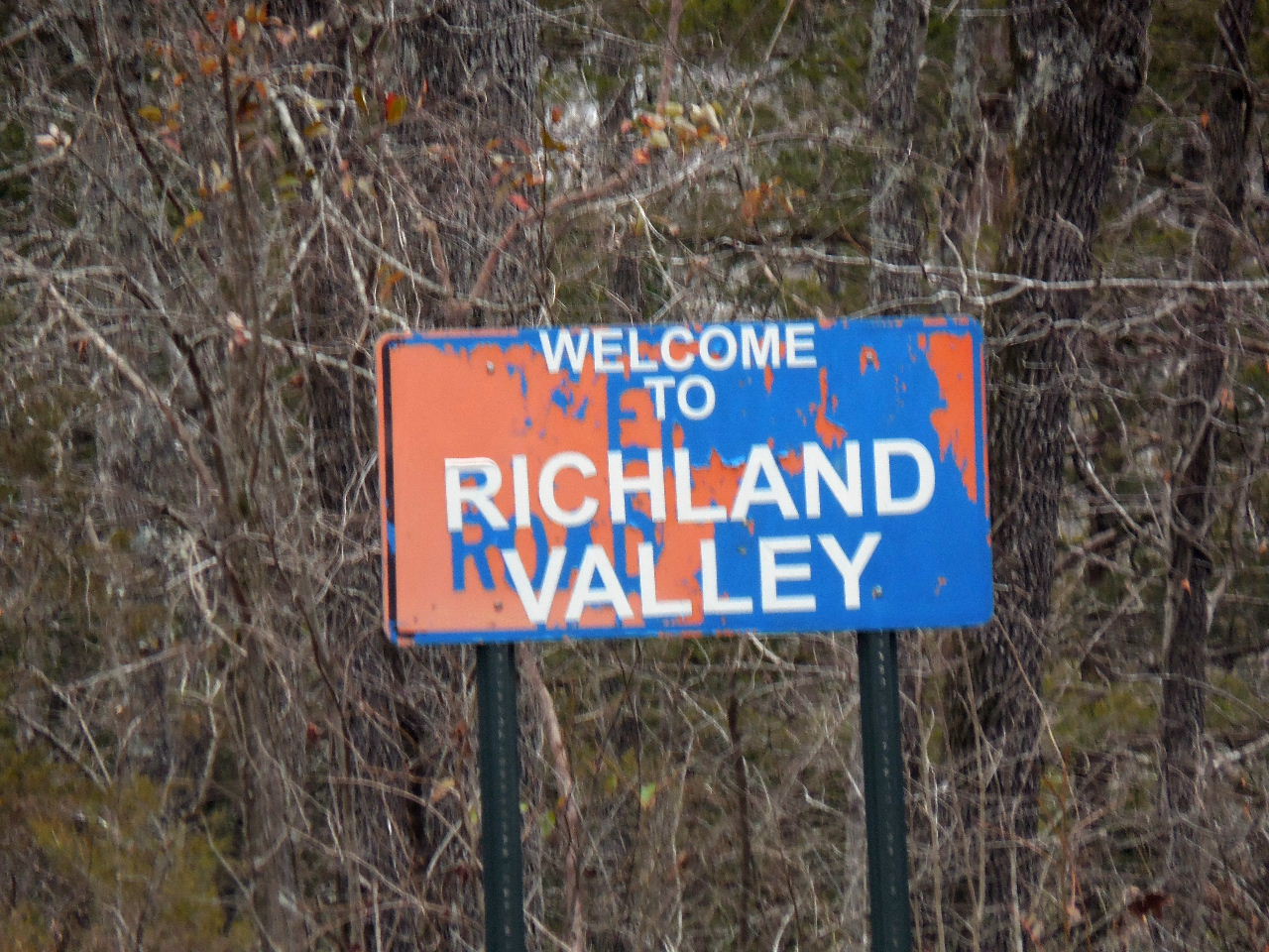
Welcome to Richland Valley
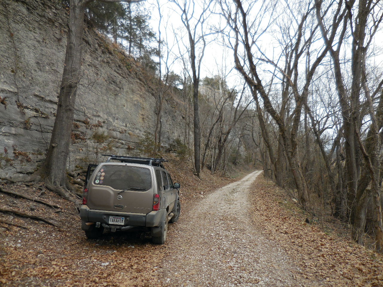
Traveling on Richland Road (FR 1201)
from Stack Rock Scenic Area
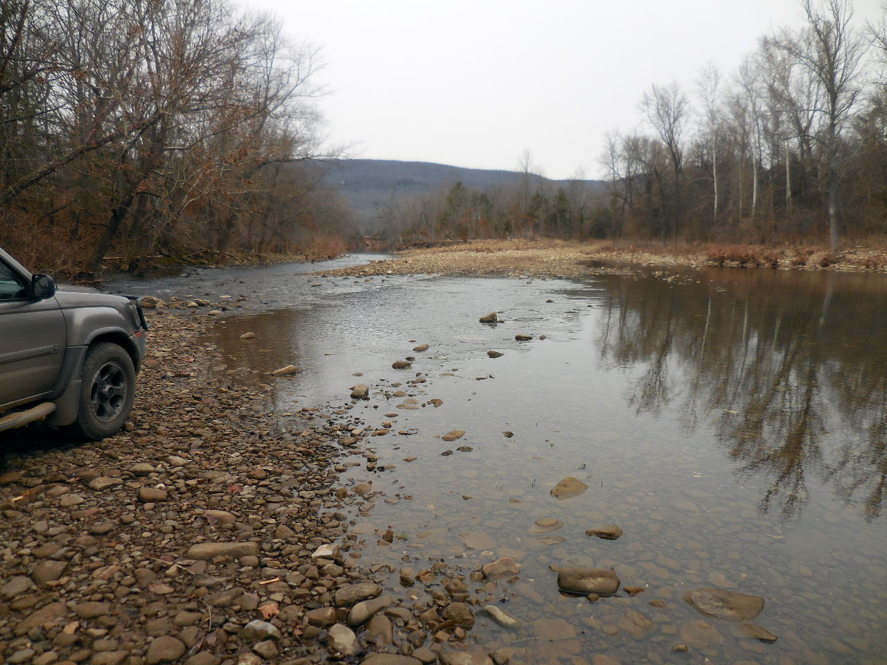
Crossing Richland Creek at Eula Ford
35.89987°, 92.89520°
Searcy County Road 12
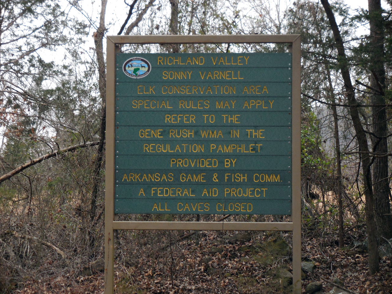
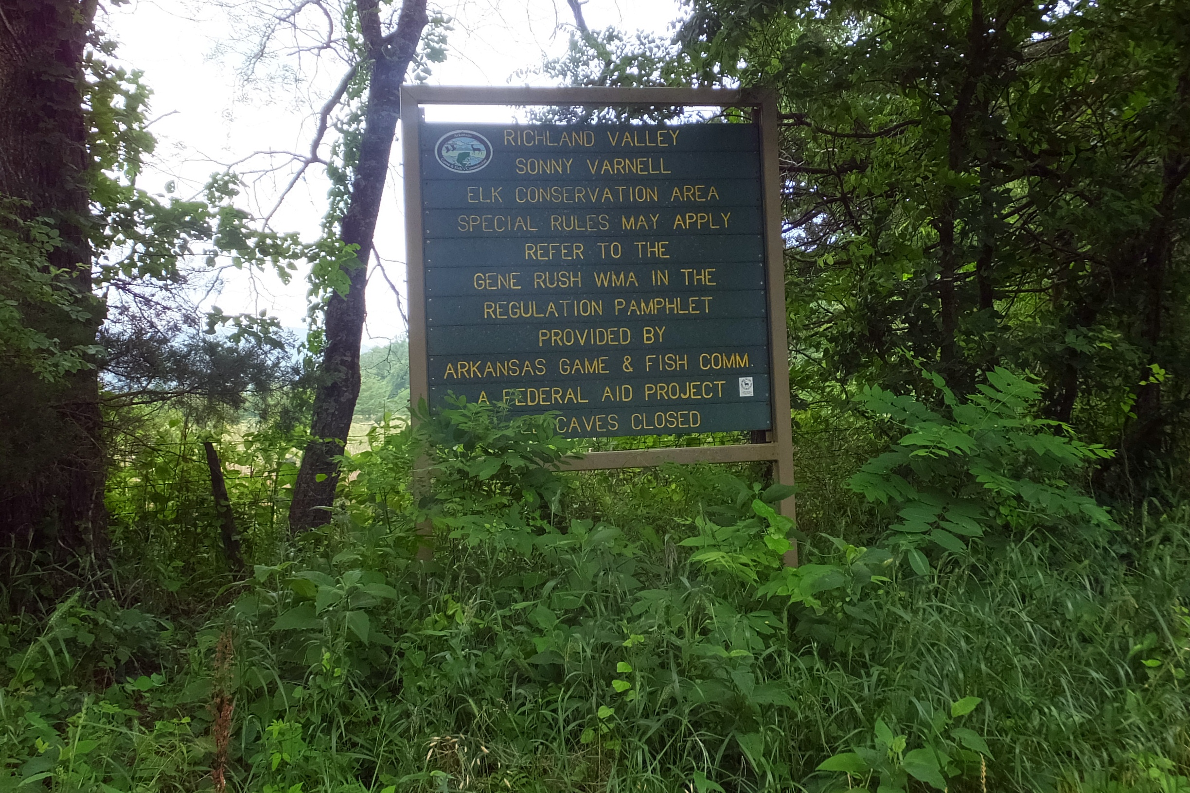
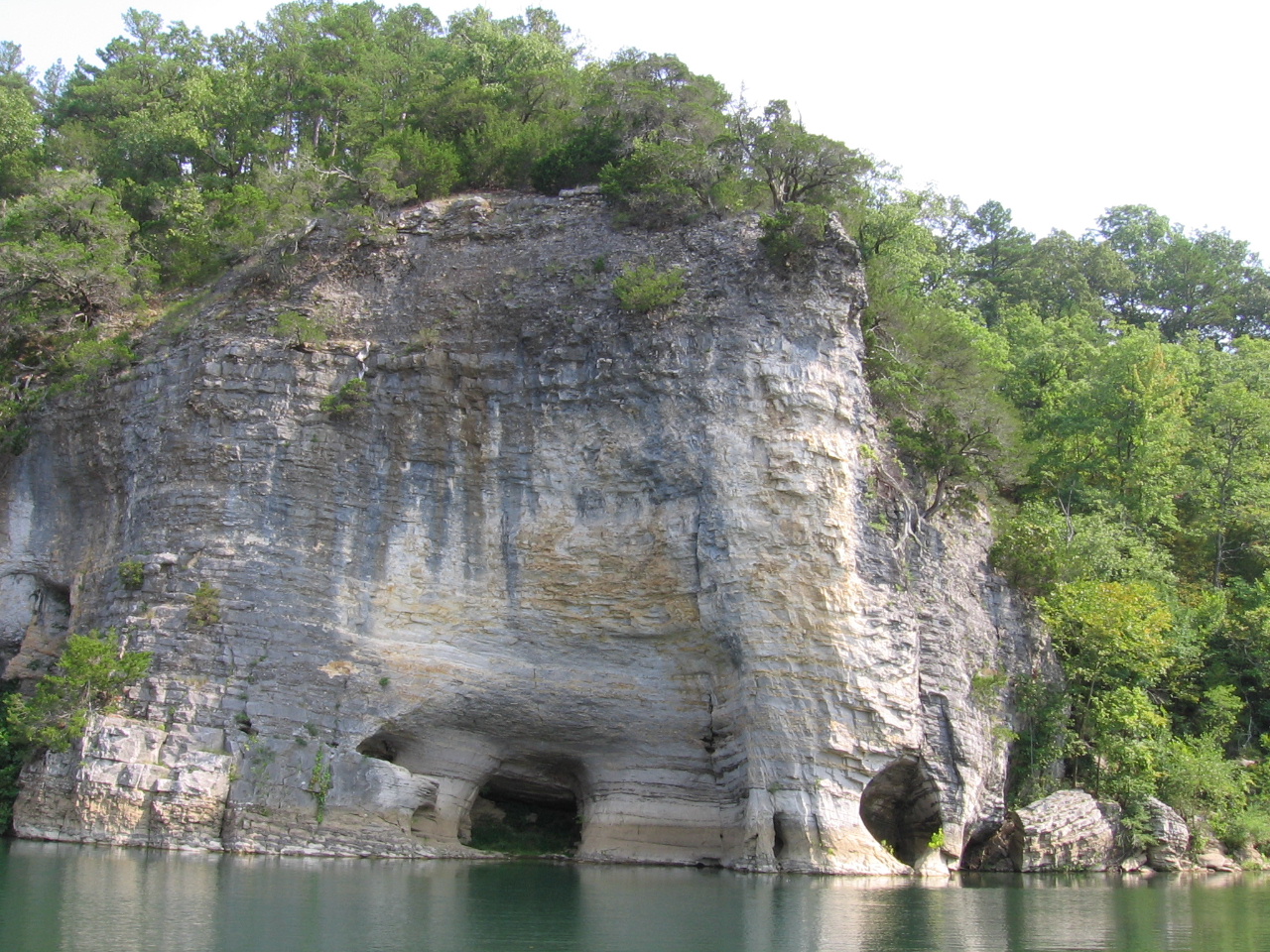
Elk Conservation Area
35.92785°, 92.88878°
Searcy County Road 14

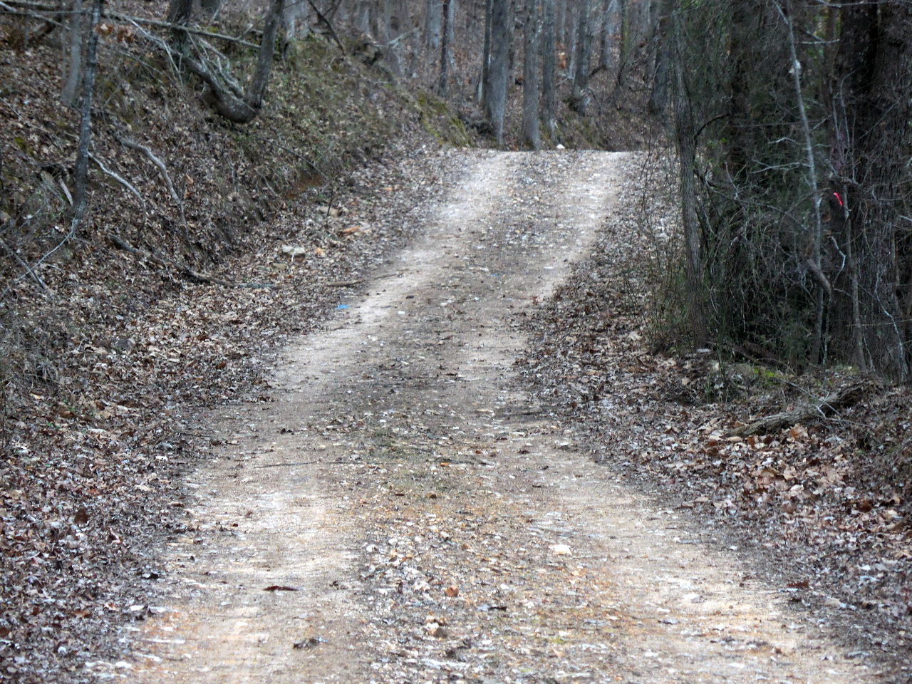
Fording Richland Creek again....
35.92748°, 92.89343°
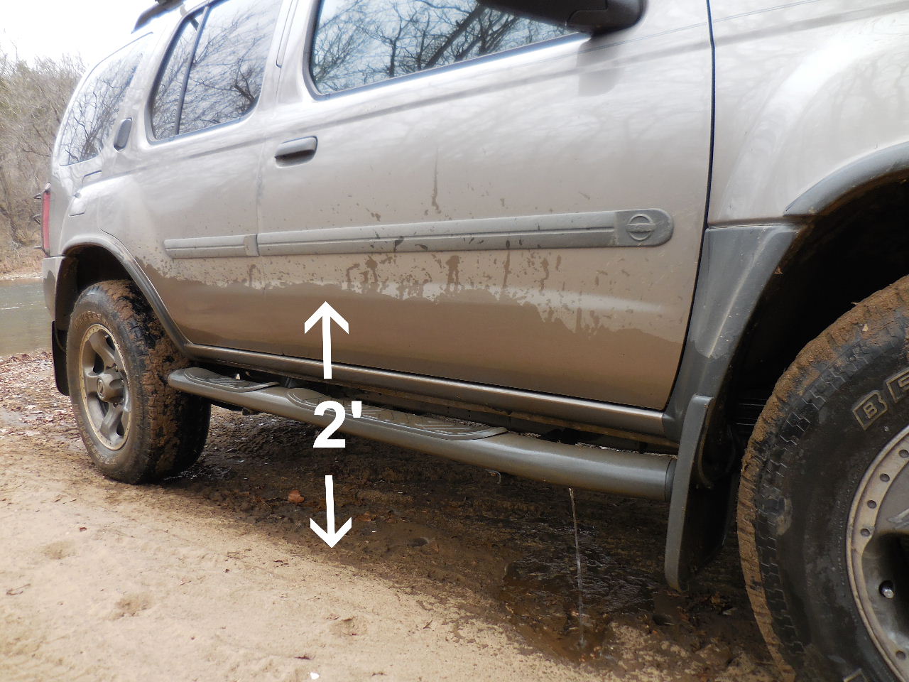
This crossing was 2' which is normal.
If there has been any rainfall within the same
week probably cannot cross!
Searcy County Road 14
(Also the Ozark Highlands Trail from
Mile 161-165)
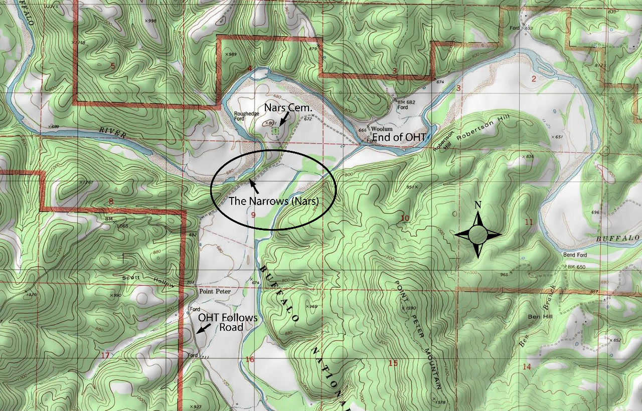
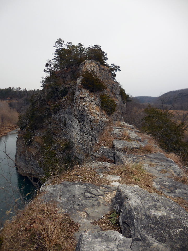
The Nars
The Nars Parking Area #1
35.96573°, 92.90268°
Access to the Nars (Just south of parking)
Access Point "A"
35.96562°, 92.90283°
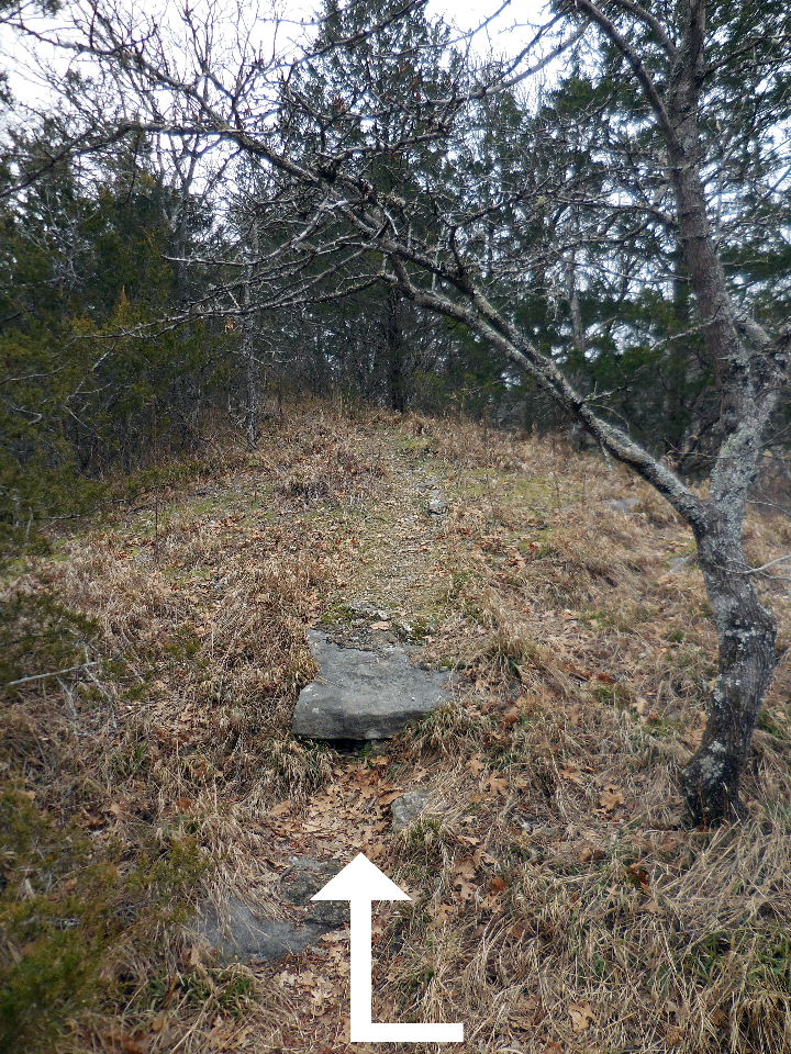
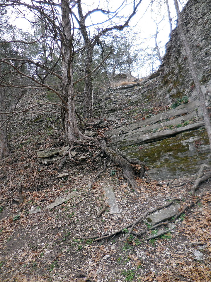
Once you get to the top of the access
you will see a trail heading north.
35.96575°, 92.90285°
This is the beginning of the narrow walk
along The Nars.
35.96597°, 92.90245°
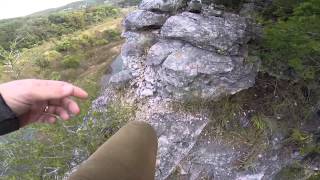
Click this link for a walk on The Nars.
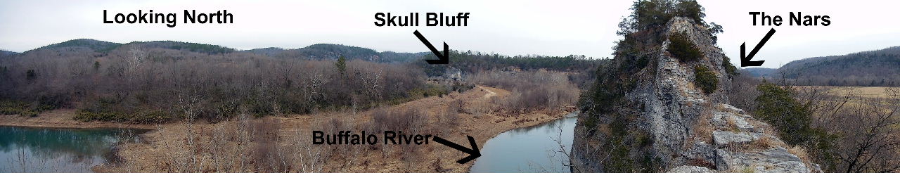
The Nars and Skull Bluff
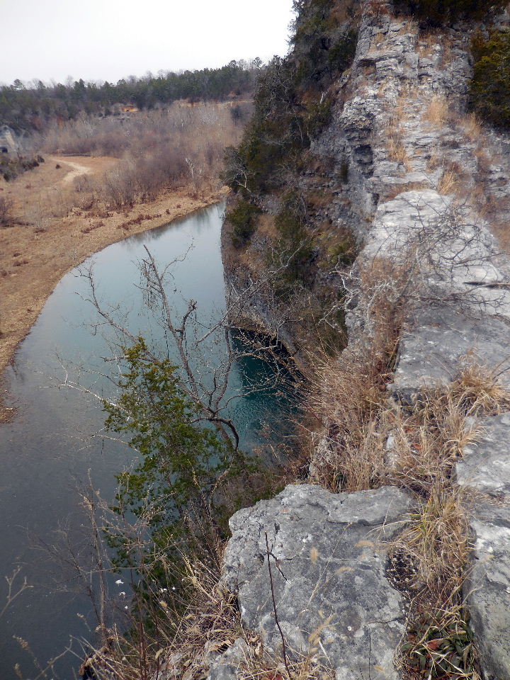
Looking down on the Buffalo River
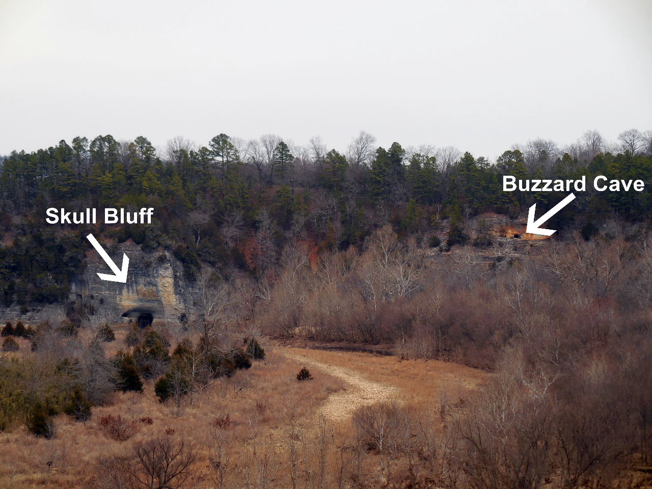
View looking north at Skull Bluff, etc.
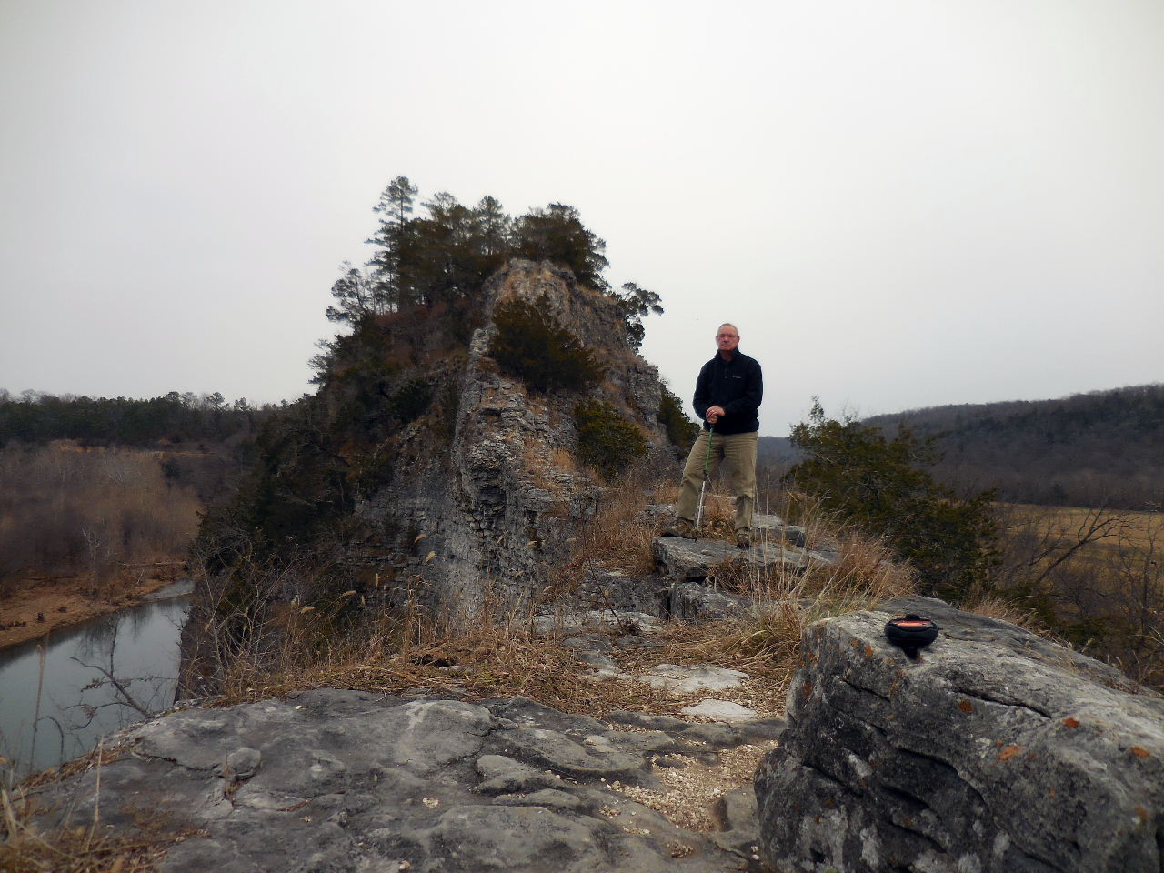
This is what I call "A Walk on the Wildside"!

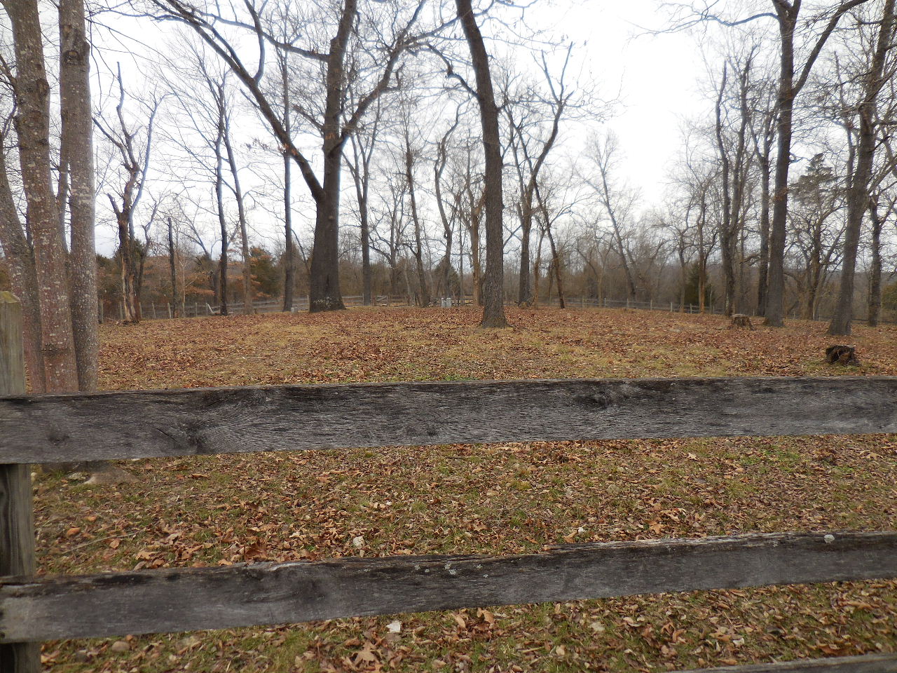
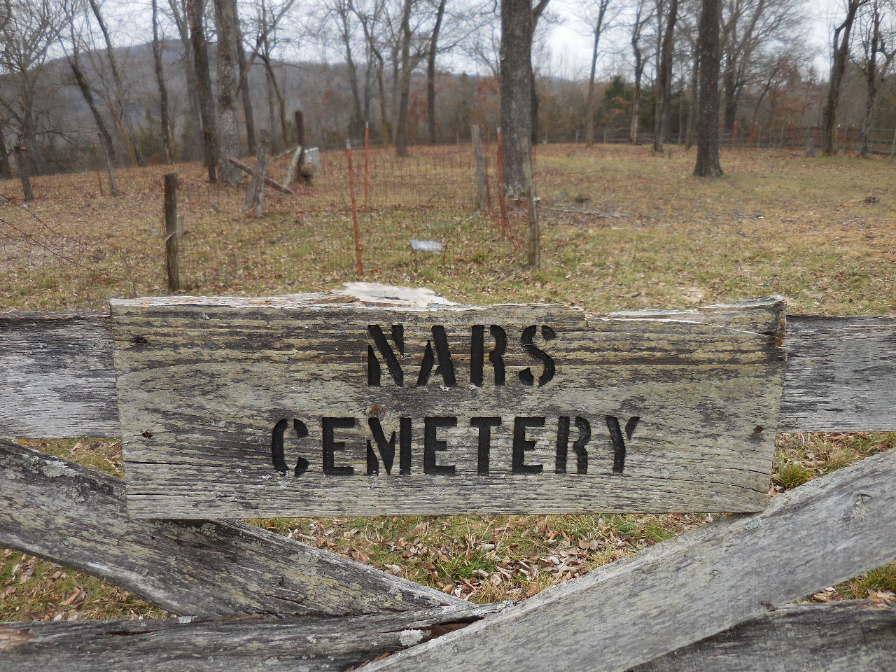
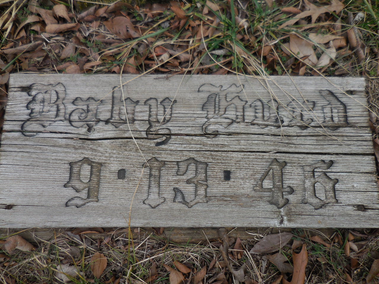
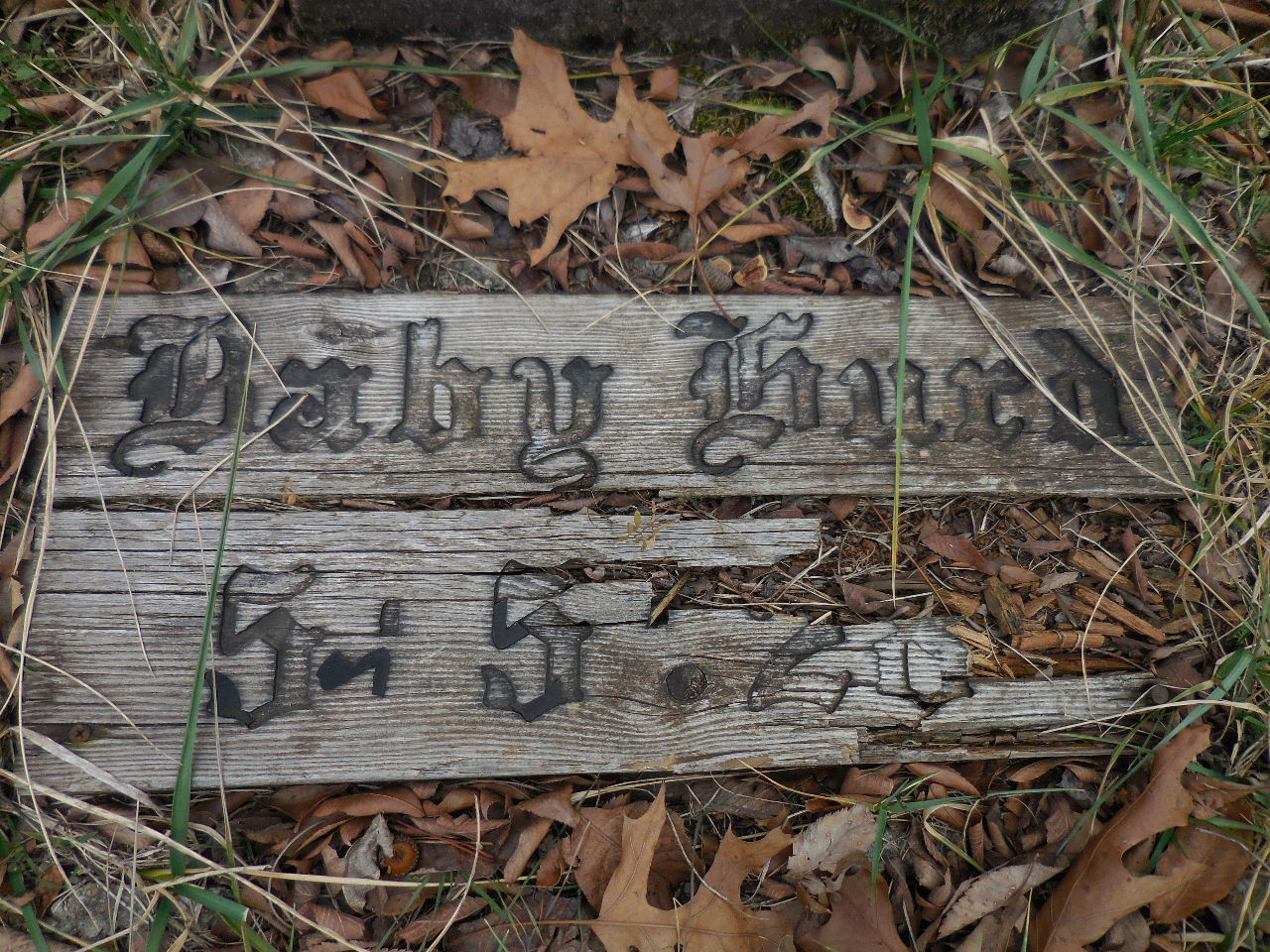
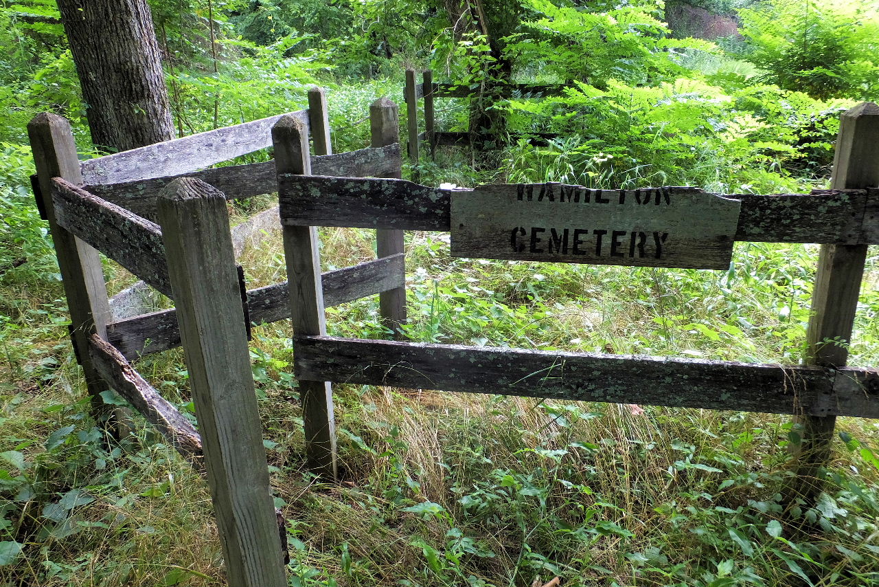
Nars Cemetery (Narrows Cem.)
35.97143°, 92.89775°
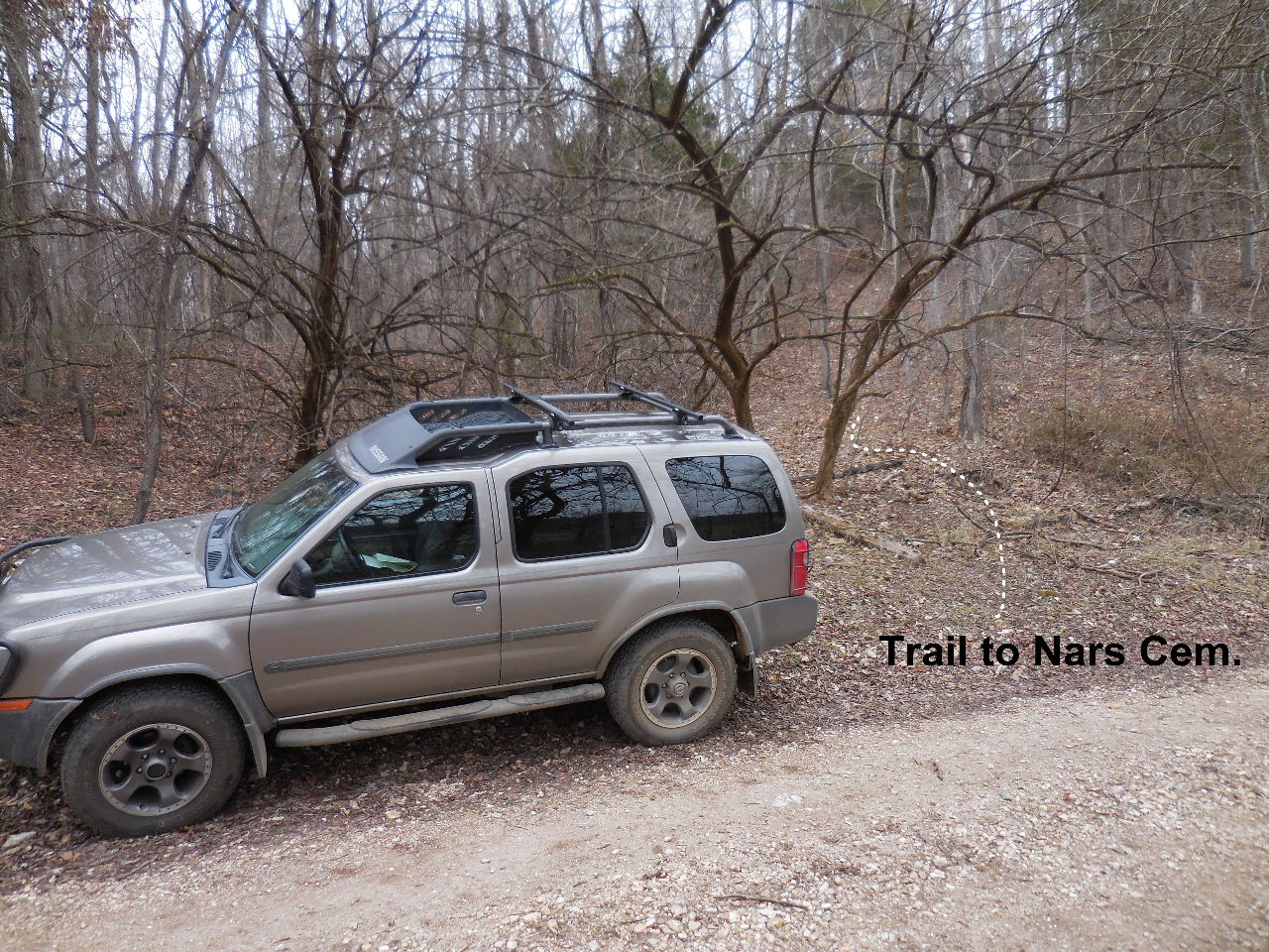
Parking Area #2 & Access Point "B"
35.96928°, 92.89672°
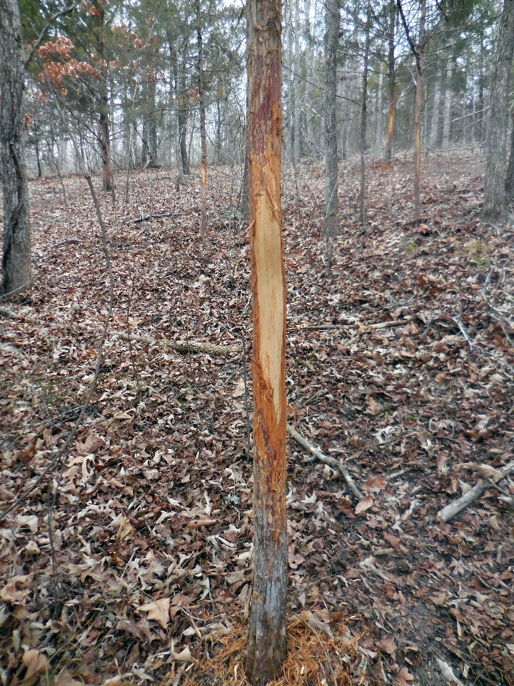
You will pass by a lot of elk scrappings.
The trail goes in every direction. Once you get
abouthalf way up the hill walk around to the
left toavoid the thicketts. You will pick up another
trailthe leads to the south side of the cemetery.
South end of the Nars Cemetery
North end of Nars Cemetery "G"
There is a road that you can drive to this point.
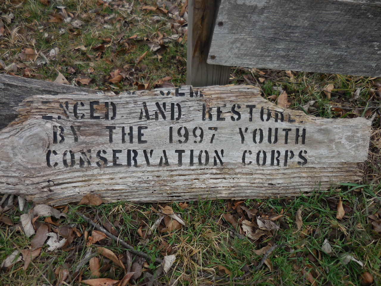
Fenced and restored by the 1997 Youth
Conservation Corps.
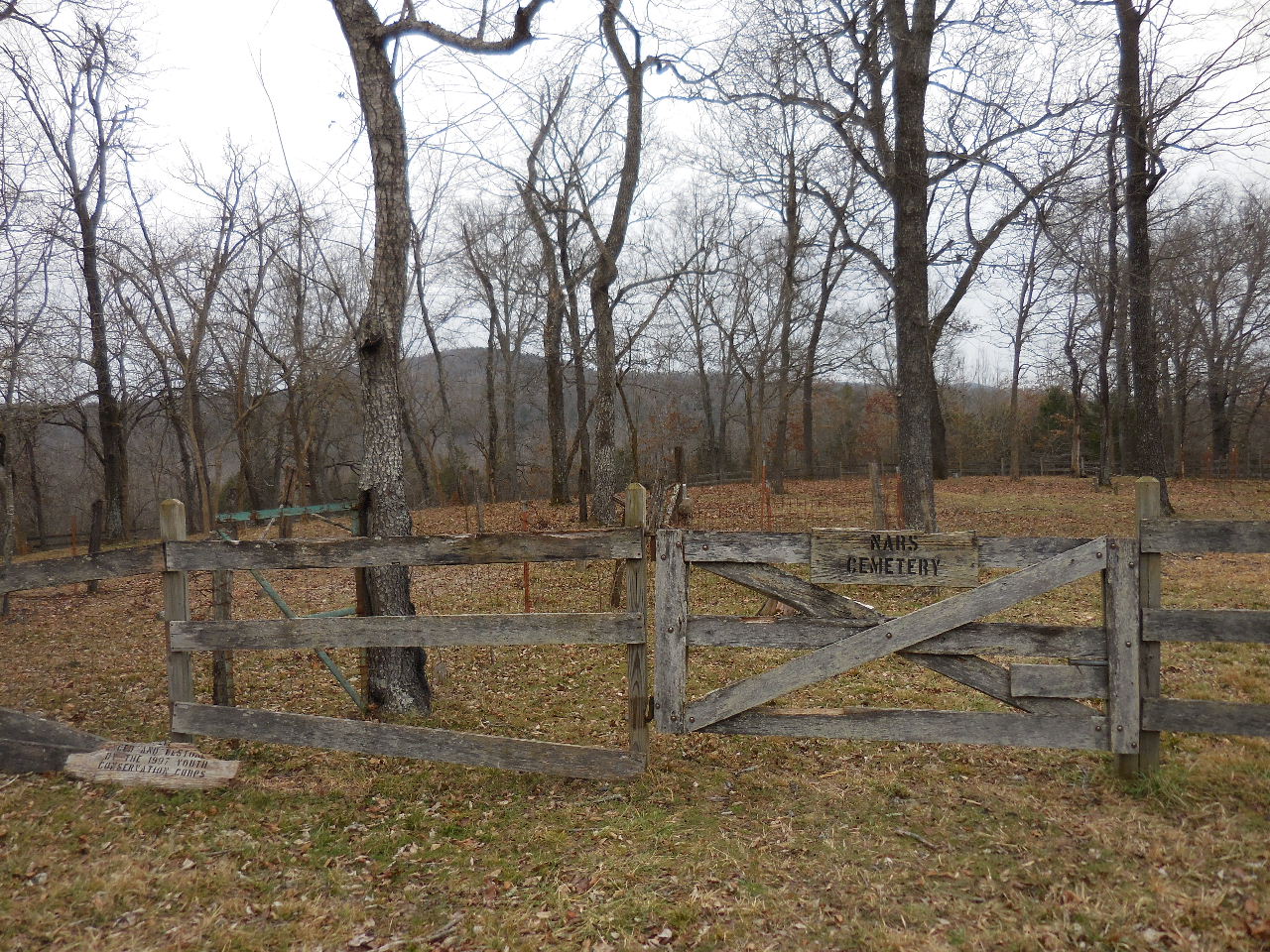
Gate and entrance to cemetery, north side.

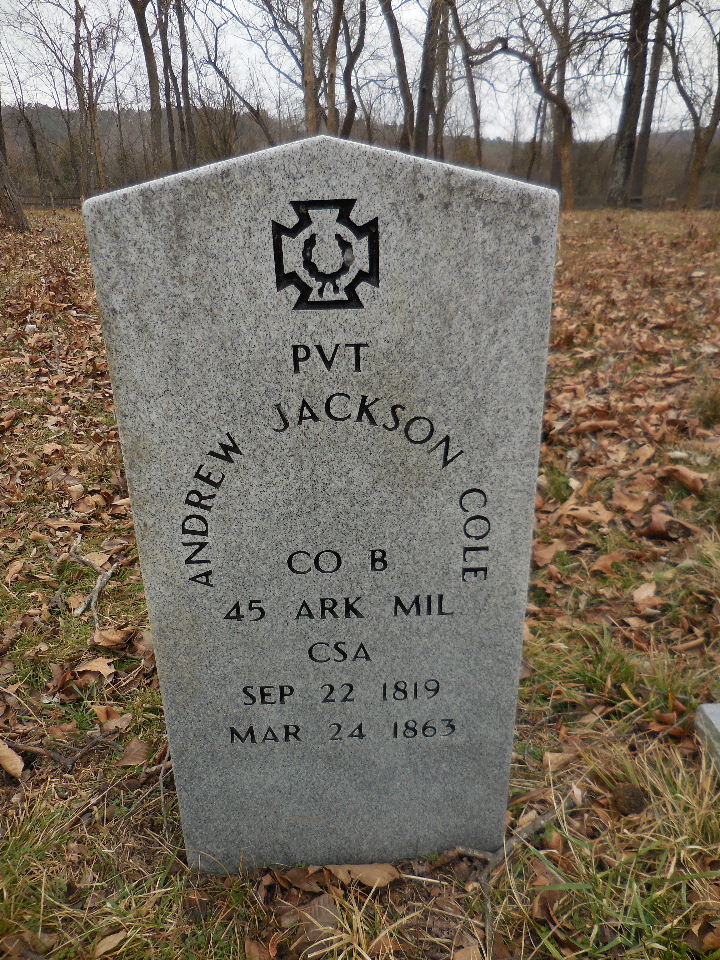
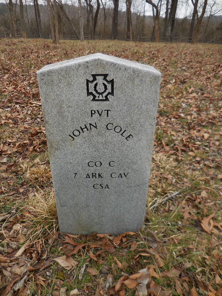
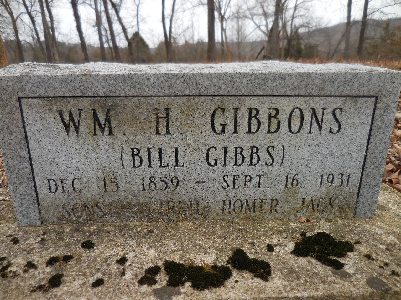
The Cole Family
Was married to Sabie Louisa Hale

Wife of Andrew Jackson Cole
Note in cemetery records:
He was tied to a tree along the road from
Woolum to Cave Creek and shot to death by
bushwhakers during the Civil War.
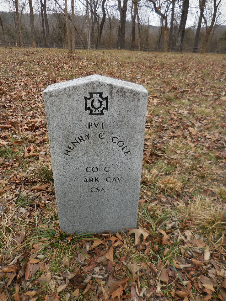
Note in cemetery records:
Was married to Mary E. Brumley. She
wrote a book about his death and her hunt for
his remains on the Arkansas River near Dardanelle.
The book is entitled: A Thrilling Romance".
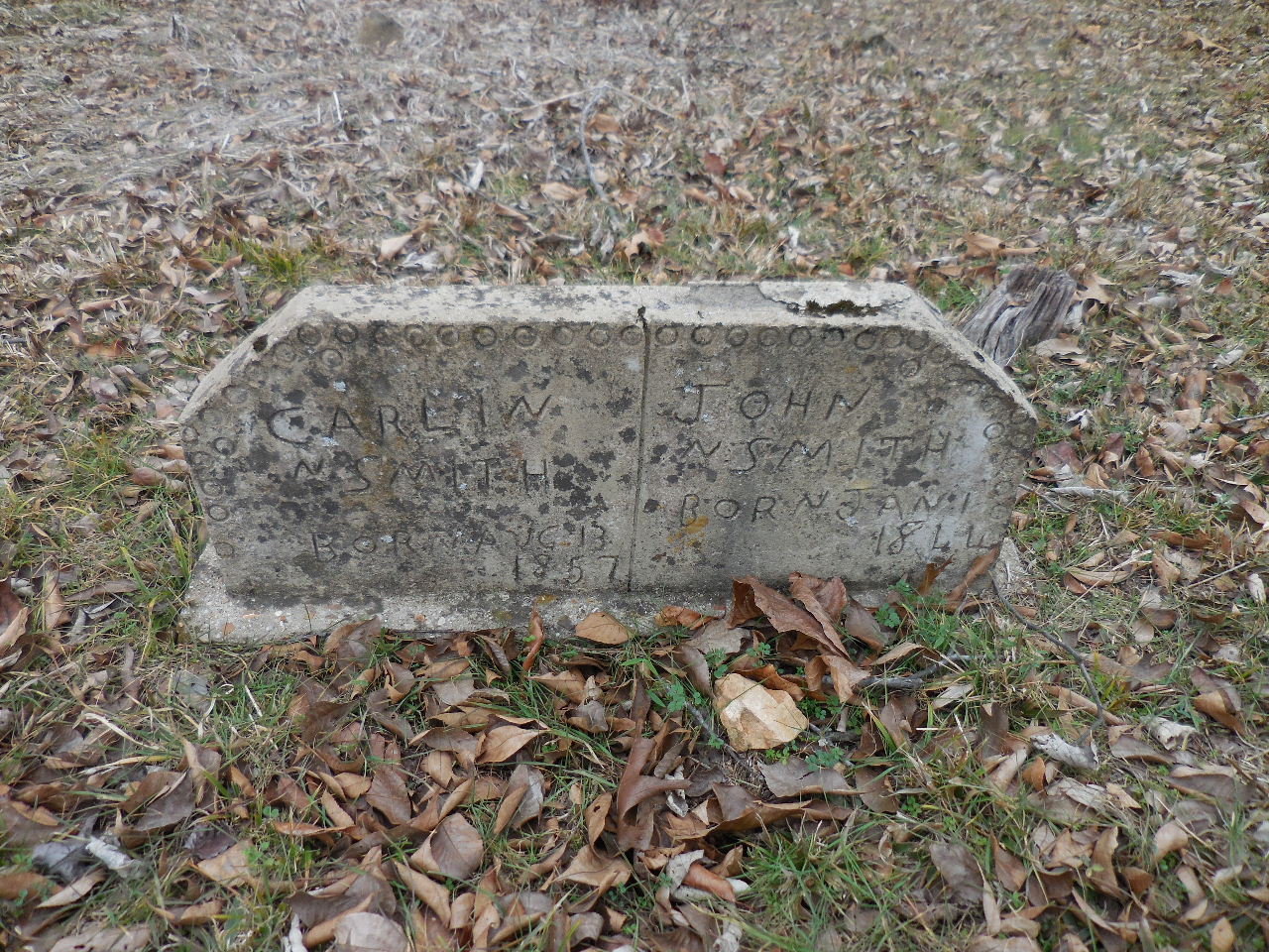
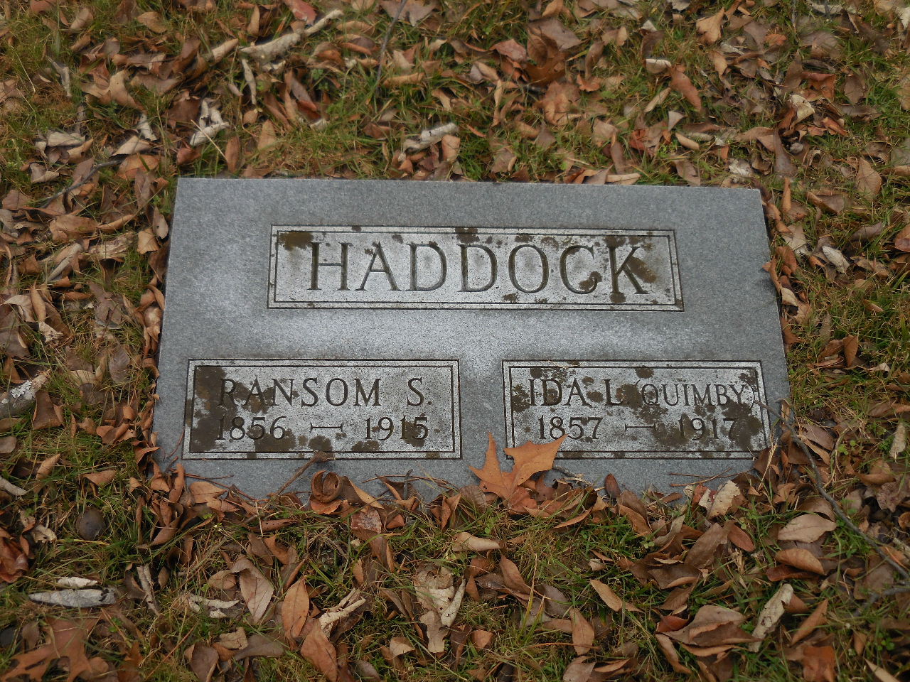
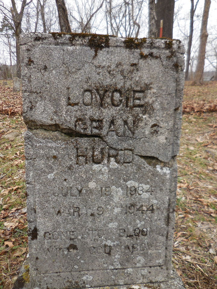
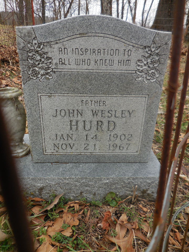
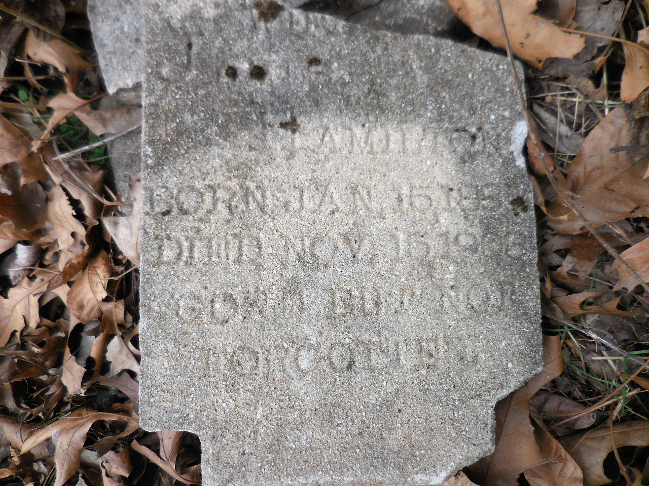
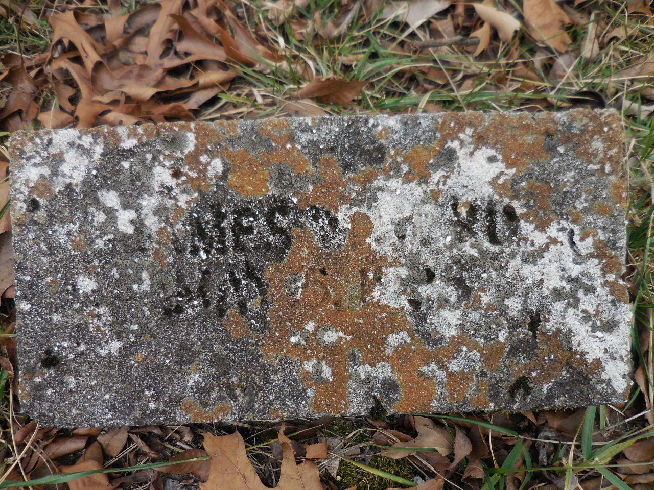
A few of the other markers.


Fence
| Getting to Hamilton Cem. & Skull Bluff | ||
 Parking Area #3 and Access Point "C" 35.97304°, 92.89292° |
 Hamilton Cemetery "H" 35.97429°, 92.89510° |
 Skull Bluff "F" 35.97045°, 92.90057° |
.JPG) To Parking Area #4 35.971954°, 92.88621° at Woolum Access Point "D" 35.96997°, 92.88695° |