.jpg)
| TAKAHIK River Valley Hikers |
| Home Scheduled Hikes Pictures Videos Membership Links Trails & Waterfalls Mushrooms Products In Memory Of |
| GEE CREEK / OHT |
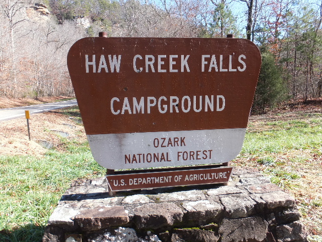 Haw Creek Falls Campground Entrance 35.67930°, 93.25973° |
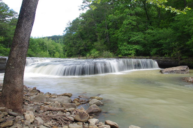 Haw Creek Falls 35.67782°, 93.25520° |
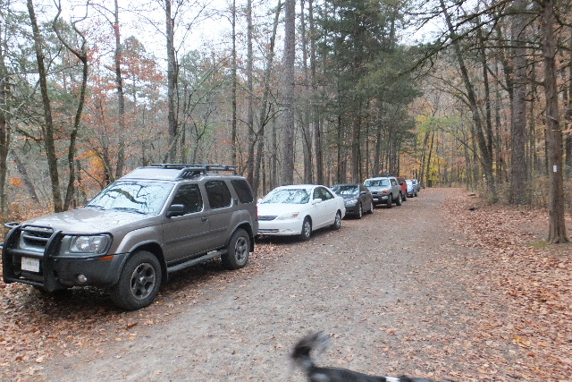 Parking Area (South of Haw Creek Falls) |
 Entrance to OHT (North side Hwy. 123) 35.67863°, 93.26185° |
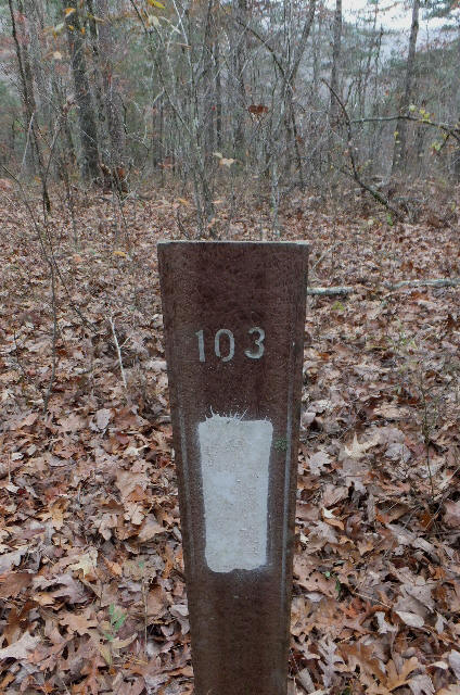 Old Mile Marker 103 35.68483°, 93.27120° (New MM 103 located across Hwy. 123) |
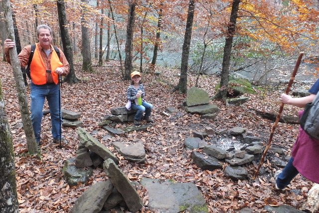 Campgrounds (Primitive) 35.68400°, 93.28181° |
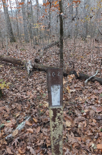 Old Mile Marker 102 35.68424°, 93.28529° (New MM 102 35.67952°, 93.26285°) |
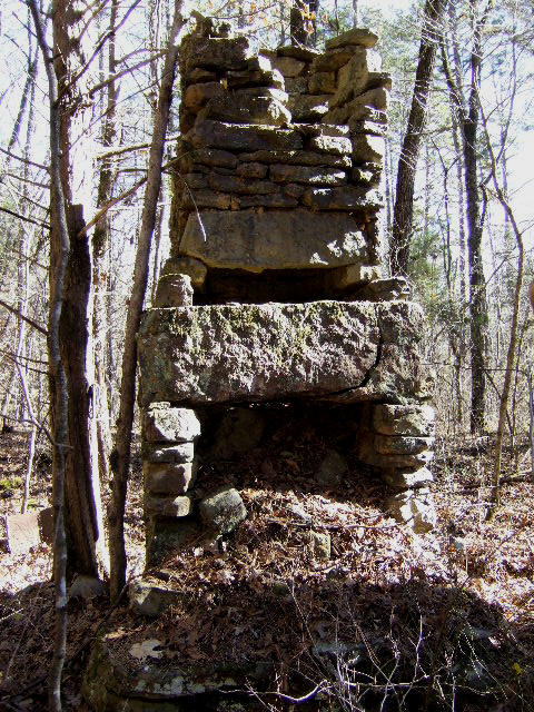 Old Homesite 35.68463°, 93.29785° |
 Homesite Shelter 35.68487°, 93.29724° |
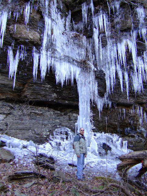 |
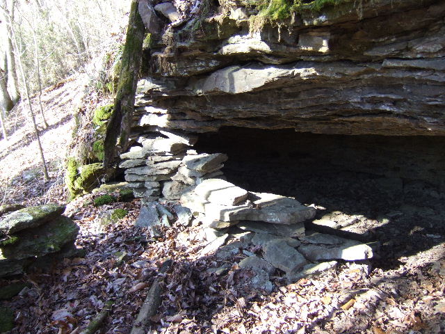
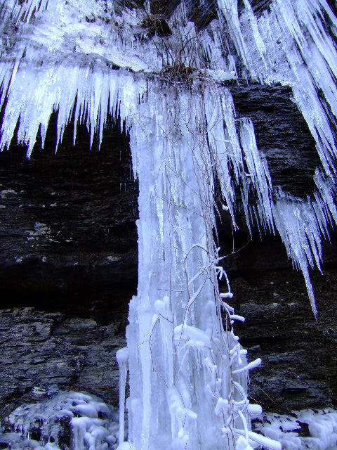
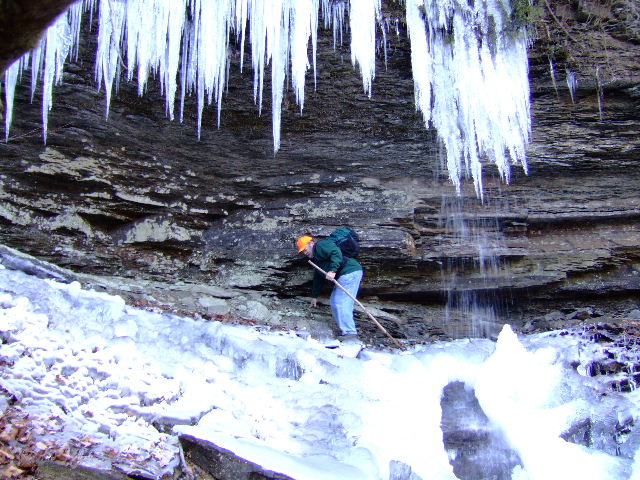 Bluff lines in winter along south side of FR 1811 |
 |
 Old Road (FR 1811) (Most not driveable except for ATV) |
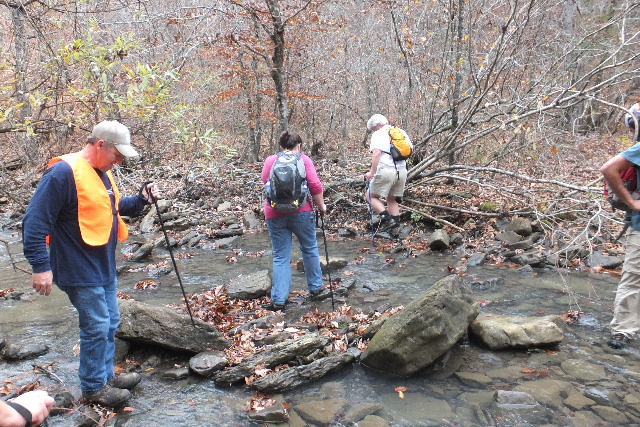 Typical creek crossings at low water. |
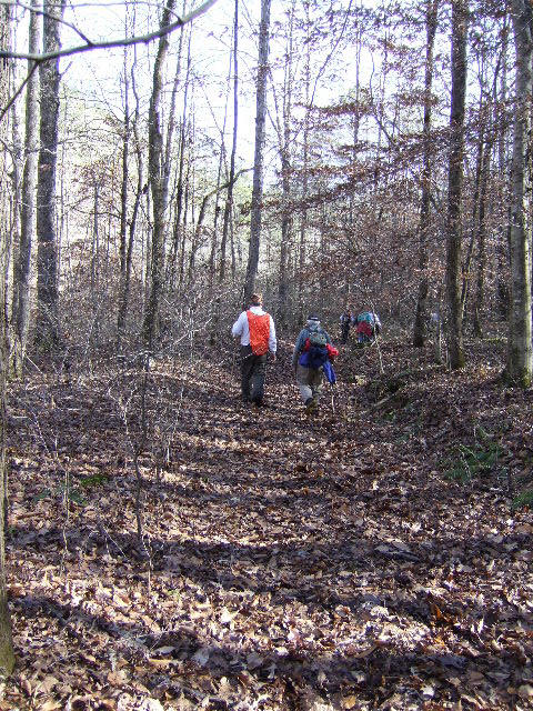
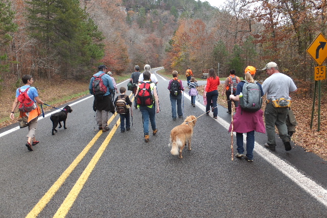 Heading back to Haw Creek Campgrounds |