| |
|
|
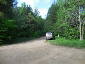
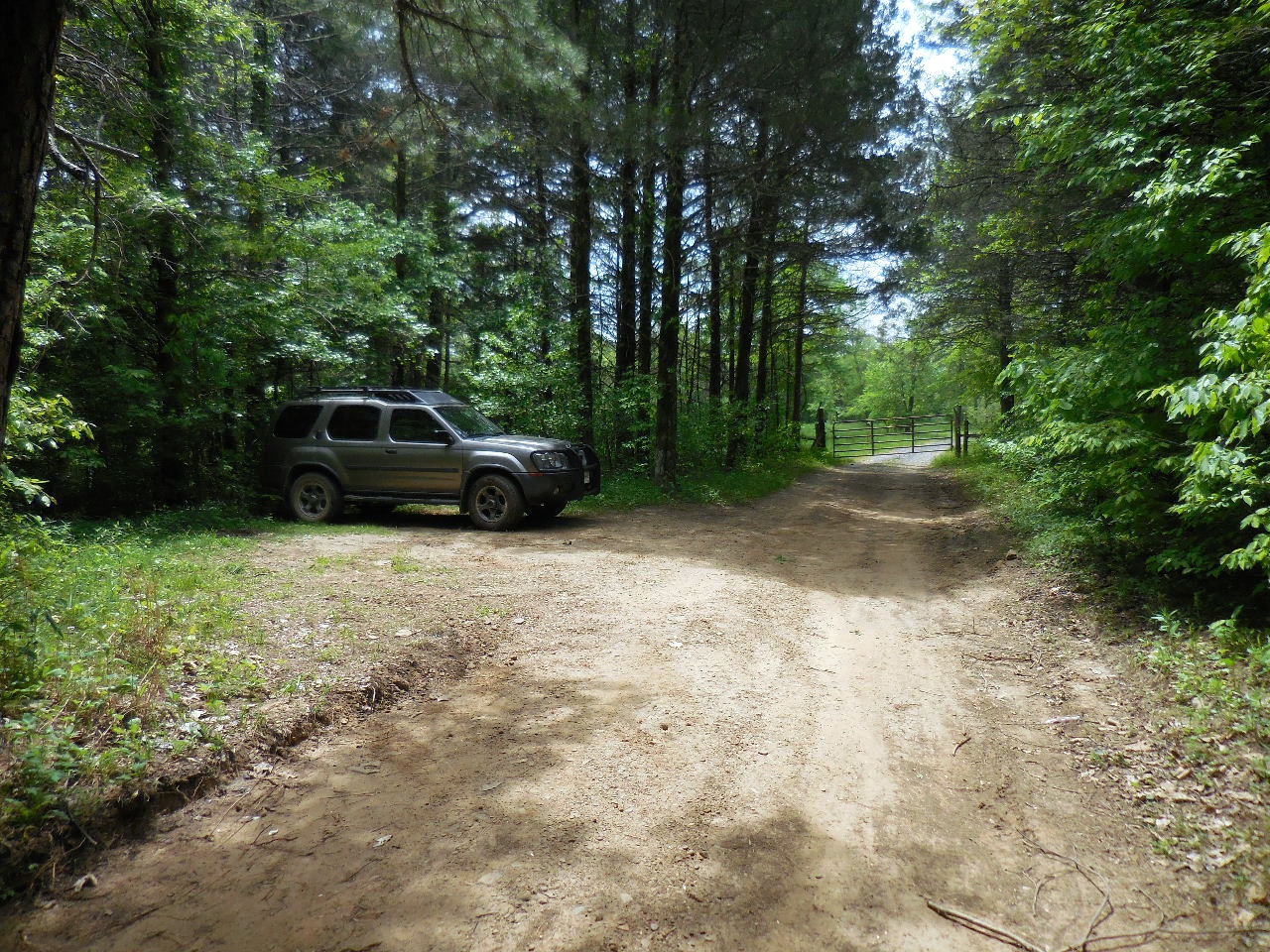
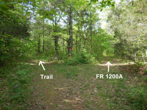
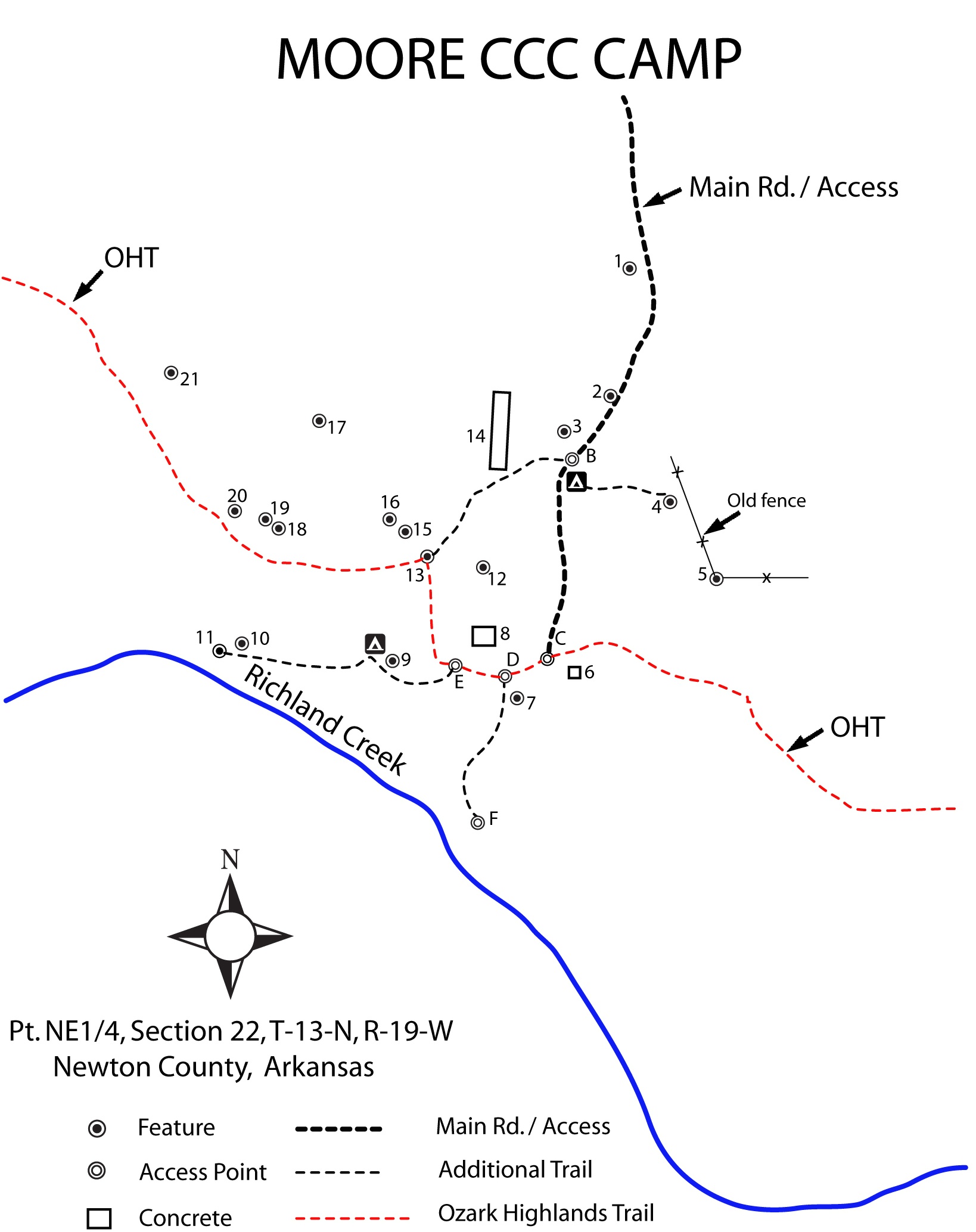
Parking Area at Intersection of NC
5050 & 5060
(FR 1203 & FR 1200A)
35.77413°, 92.98879° |
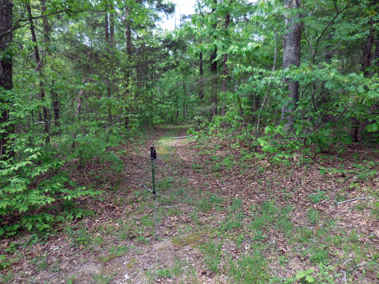
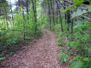
Heading down NC 5060 (FR 1200A) to
Trail |
Parking Area on left
35.77287°, 92.98907°
(Trail begins at gate) |
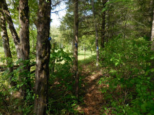
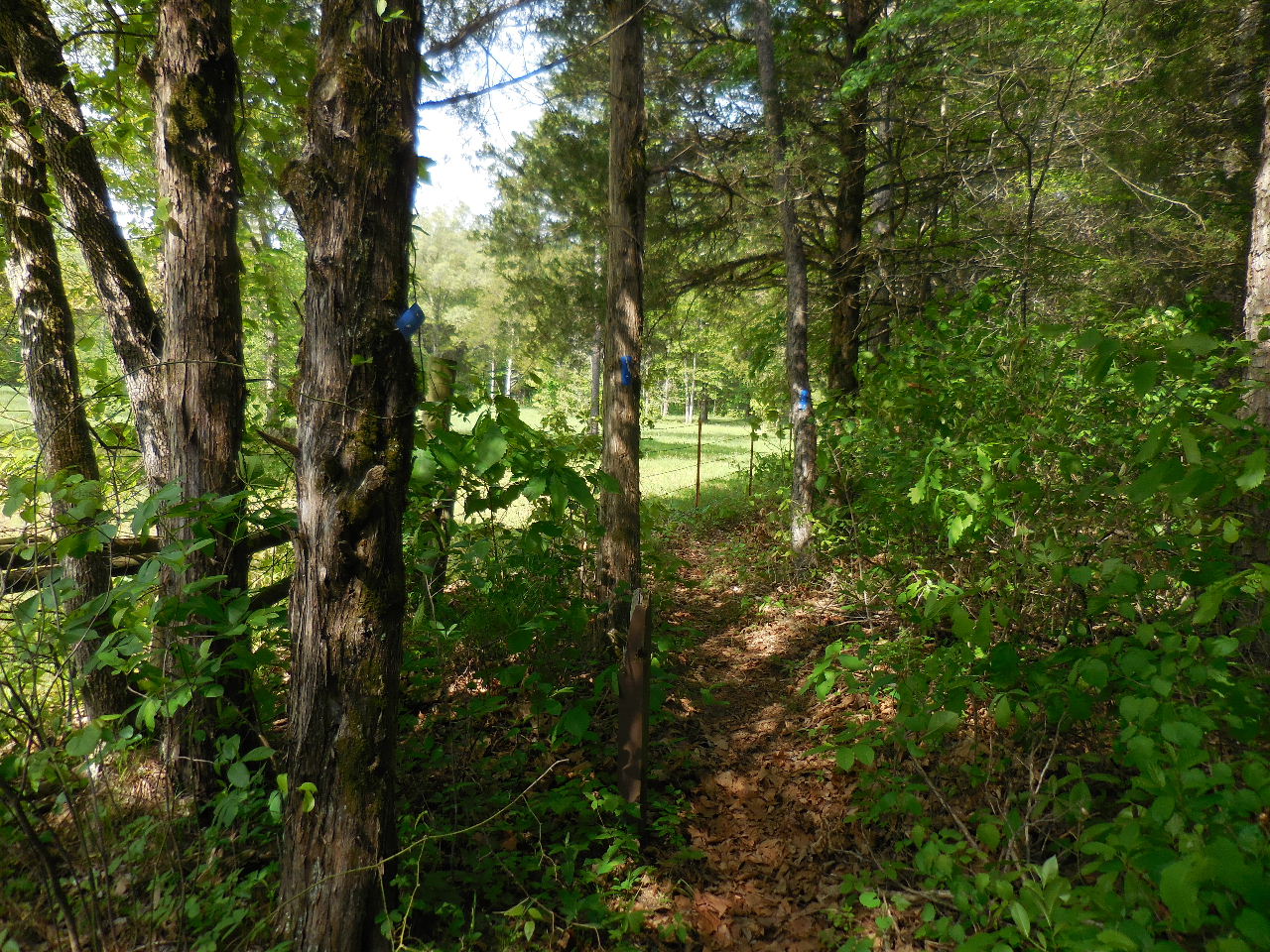
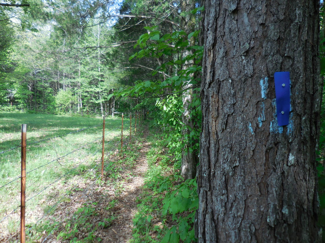
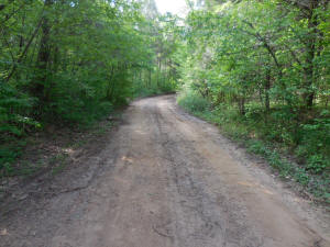
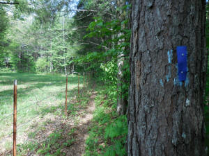
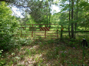
Trail at gate marked with blue metal
markers.
Access Point "A" 35.77262°, 92.98920° |
Trail follows fence line. |
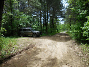
Trail turns left at fence corner.
35.77262°, 92.99011°
(ATV trails come in from right) |
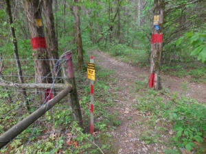
Sign-In Box
35.77256°, 92.99026° |
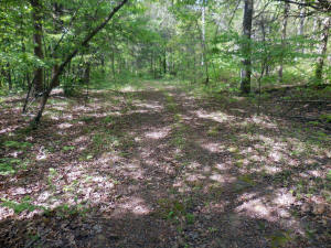
Trail heading south
(Nice ATV trail follows fence line) |
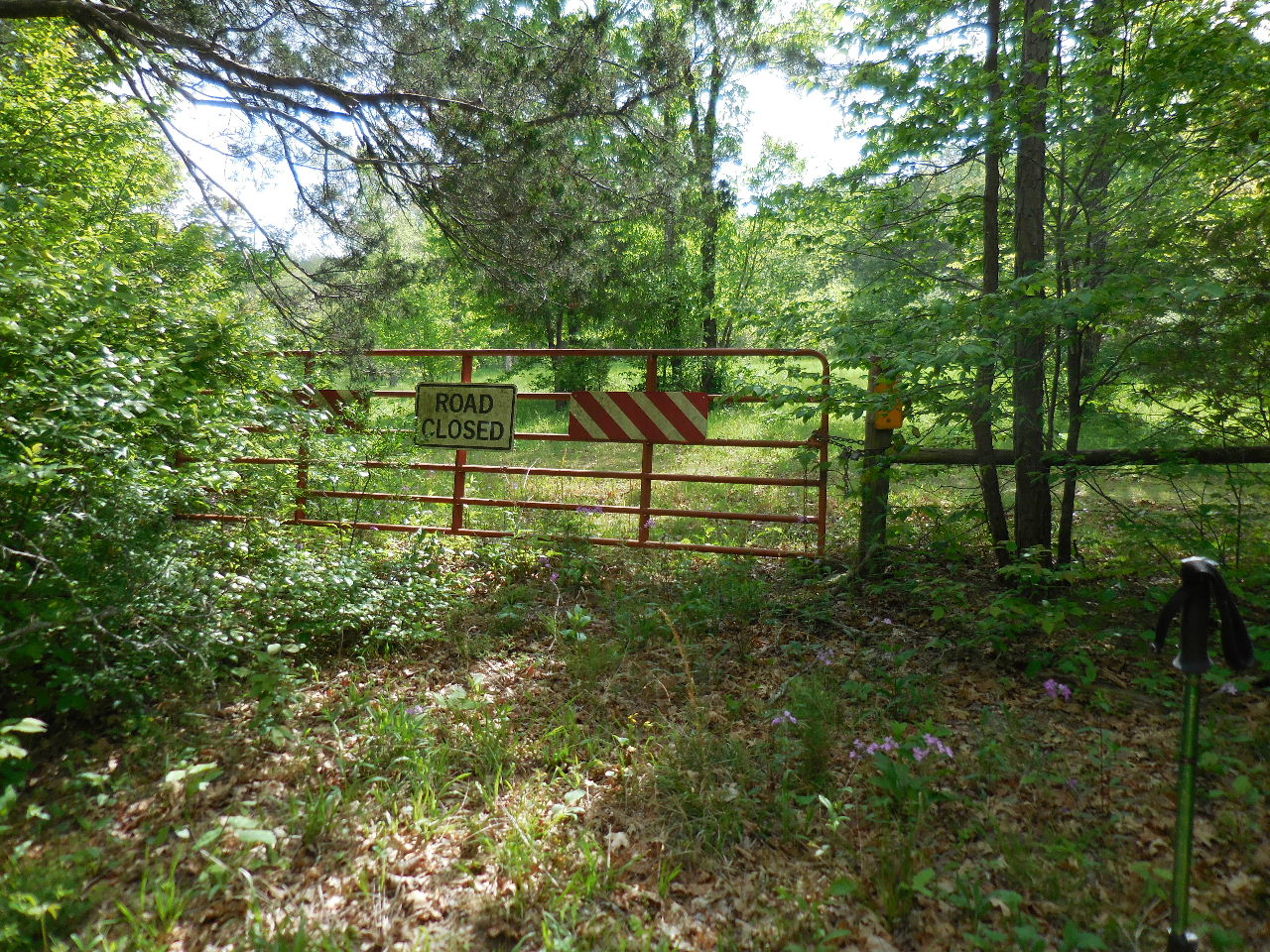
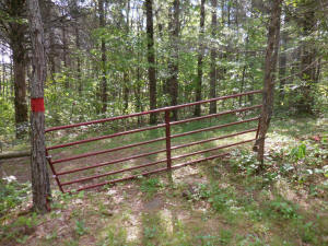
Second Gate 35.77122°, 92.99021°
(This is where NC 5060 (FR 1200A) used to come
out. It is now closed across the private property) |
The trail now follows an old road
(FR 1200A) after Gate #2. |
Third Gate 35.76906°, 92.99027°
(Into private property) |
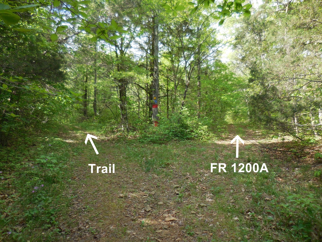
Intersection of Trail and FR 1200A
35.76898°, 92.99027° |

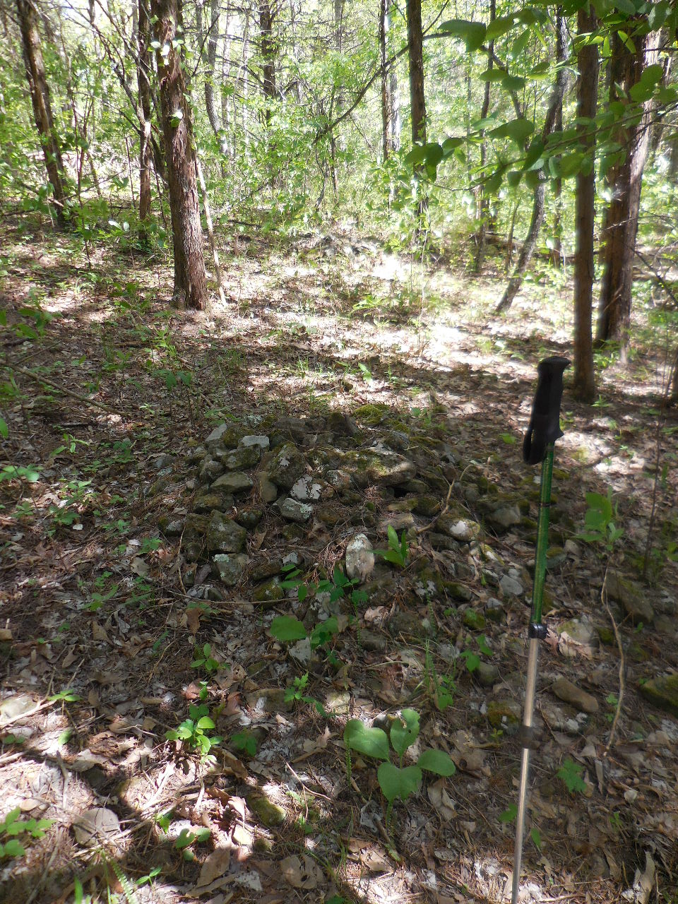
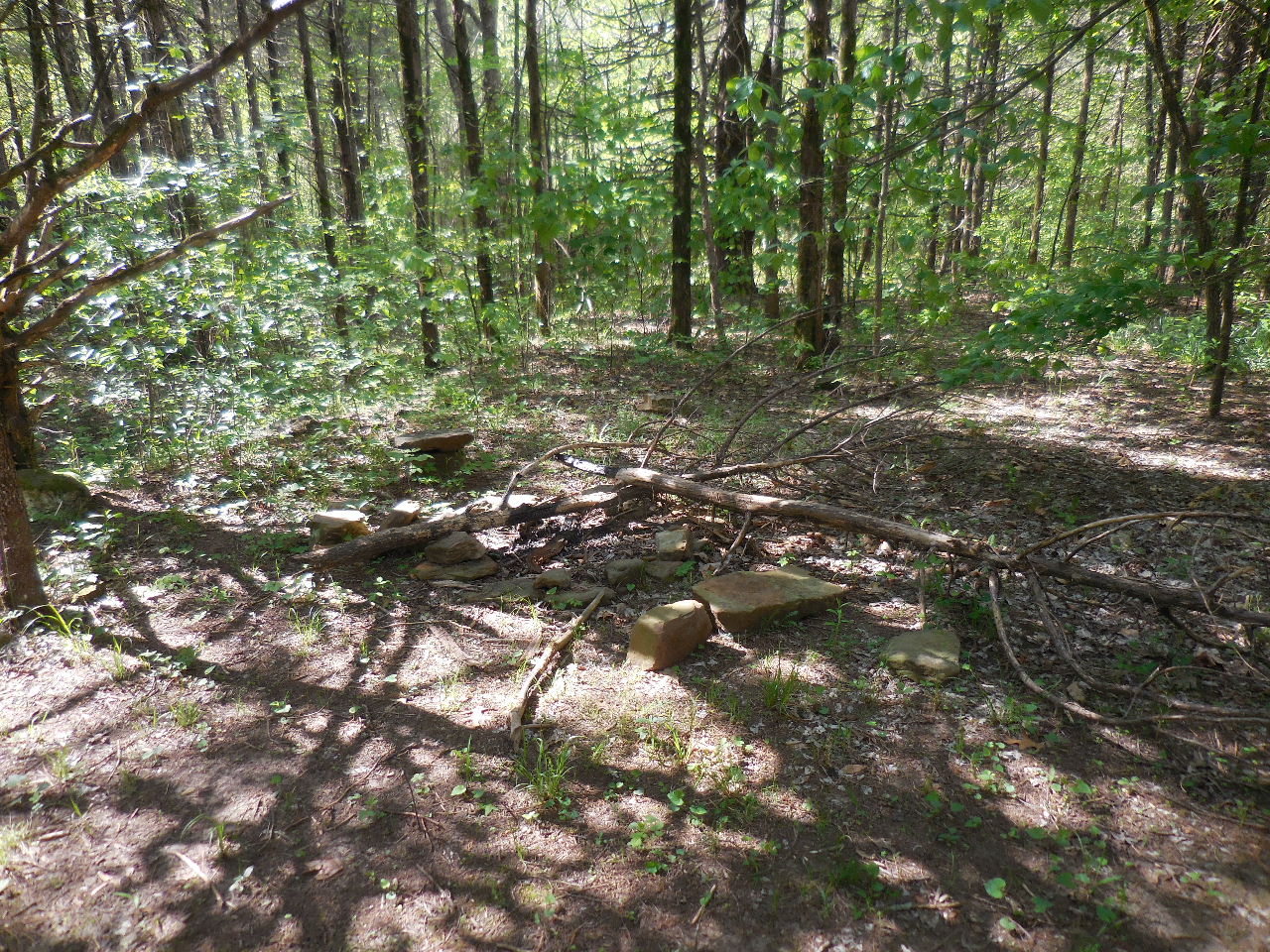
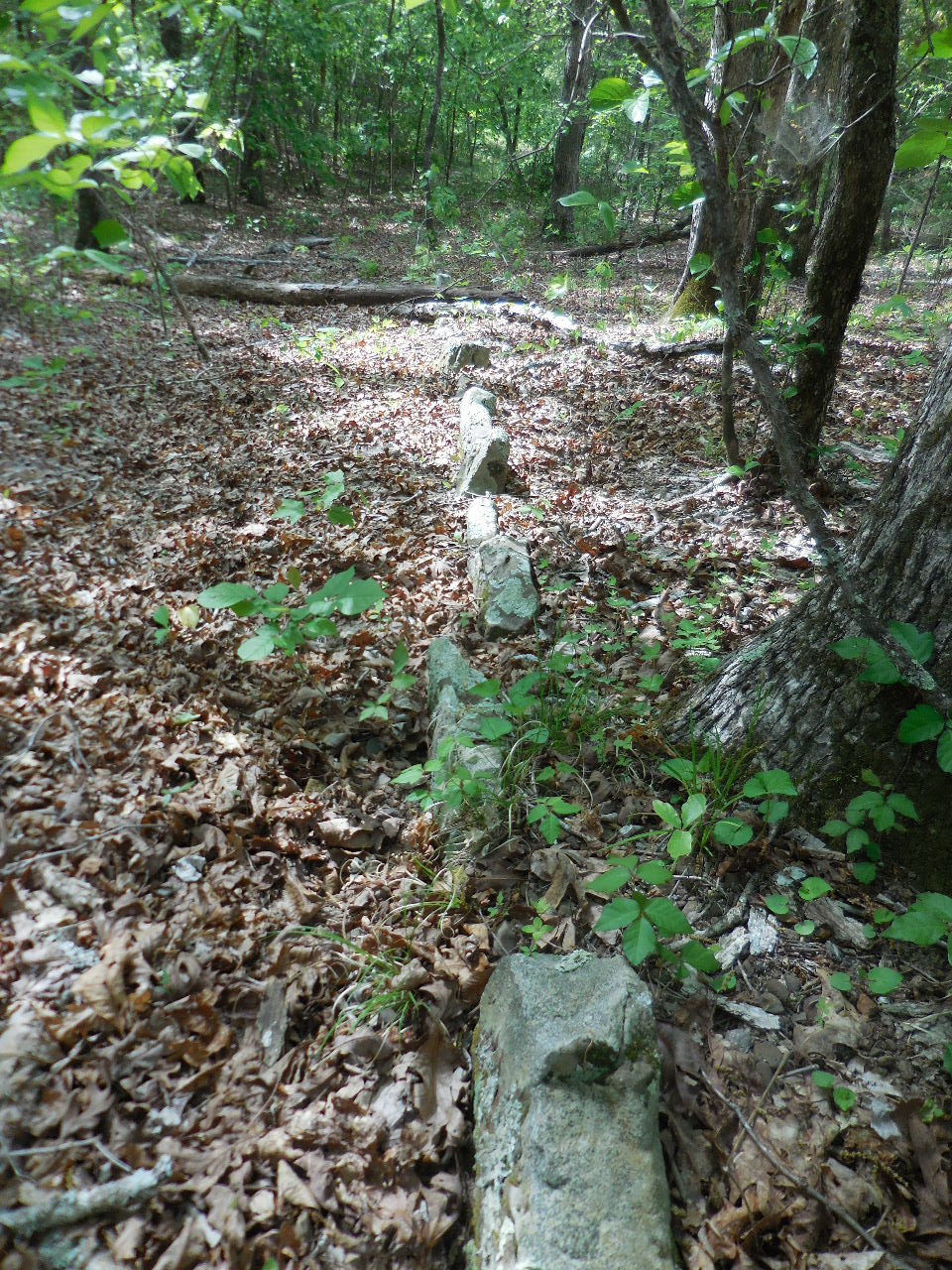
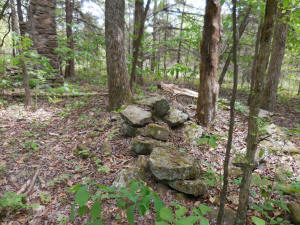
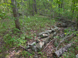
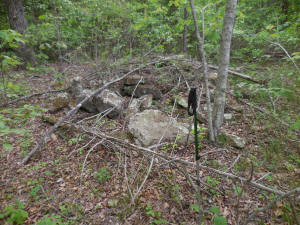
#1 Row of piled rocks (6) along side
of road.
35.76640°, 92.98999° |

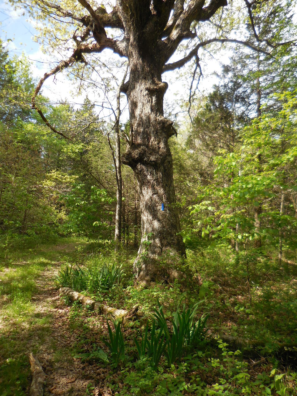
#2 Big White Oak
(First sign of Crested Iris and Jonquils)
35.76584, 92.99001° |
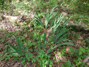
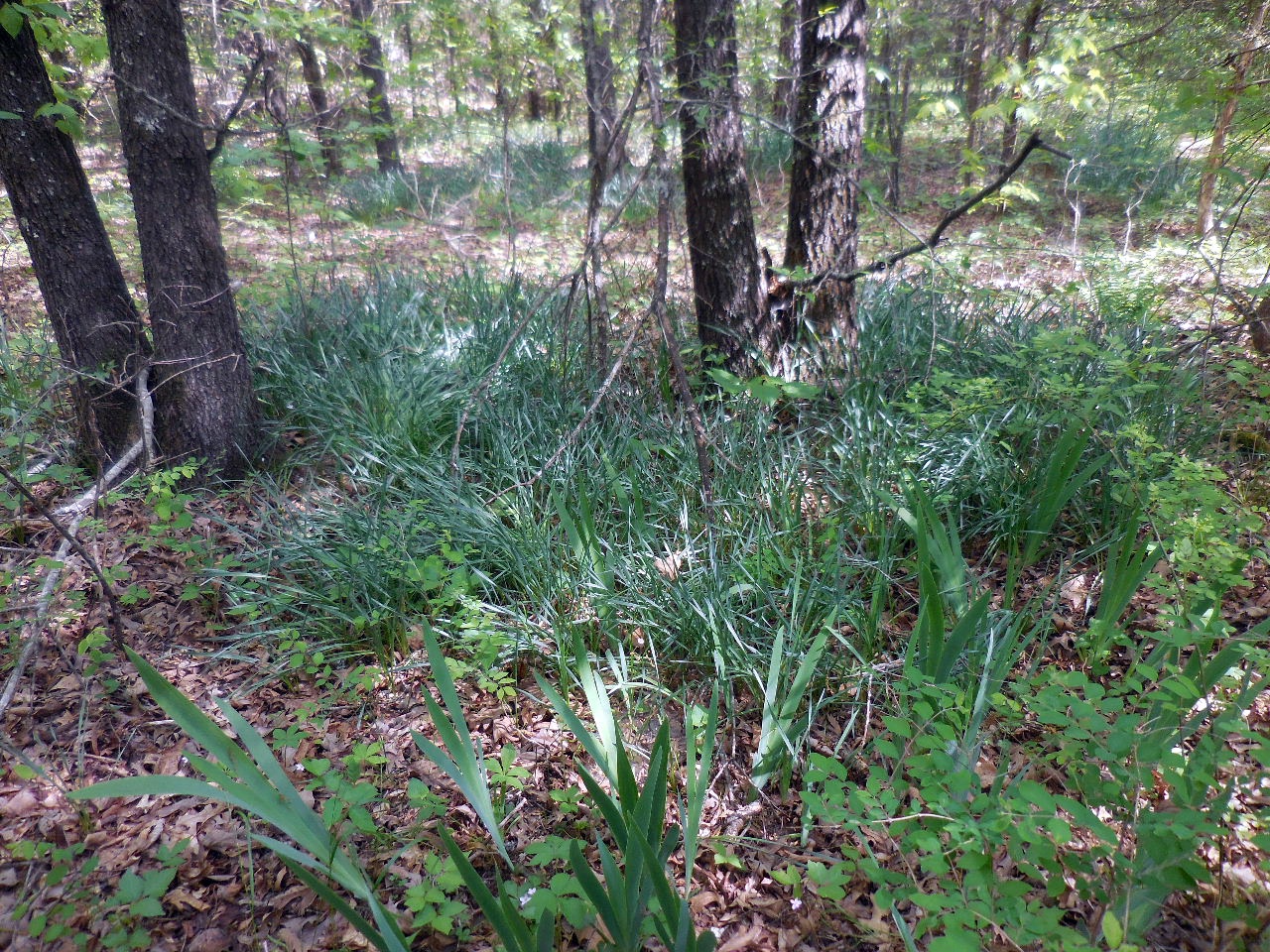
Crested Iris

Jonquils |
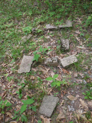
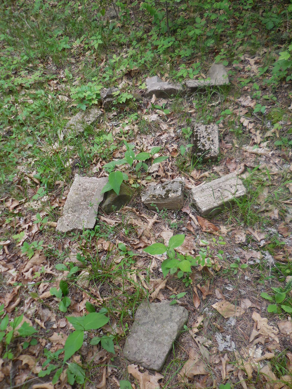
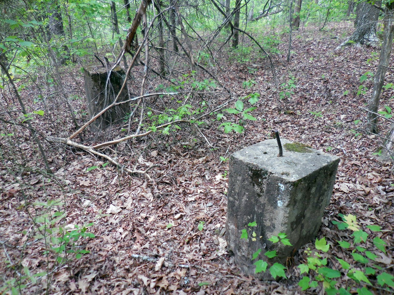
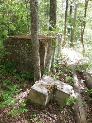
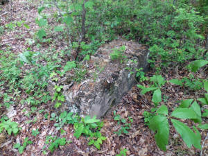
#3 Conc. Blocks
35.76569°, 92.99024° |
"B" Access
Point
35.76555°, 92.99021° |

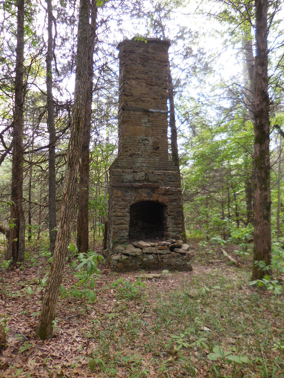
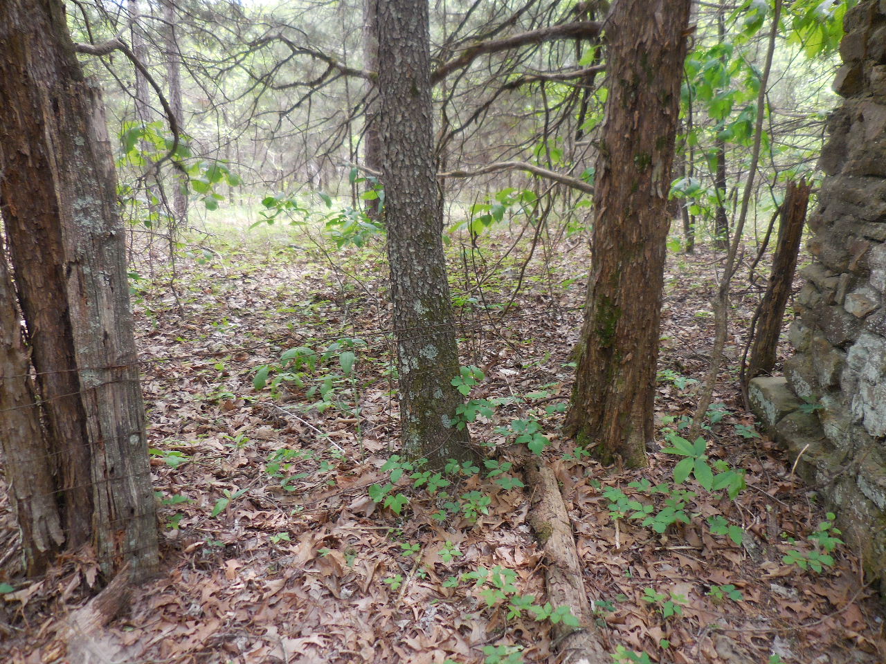
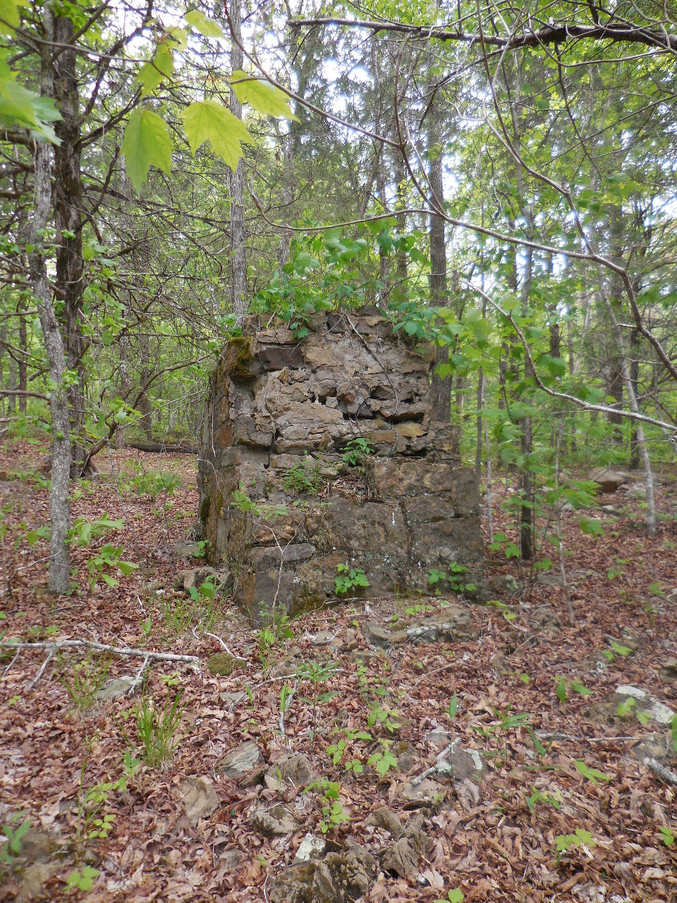
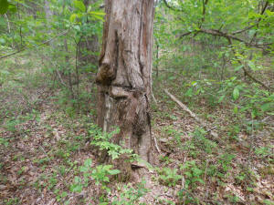
Just past Big White Oak is a camp site left
of trail.
(Just east of camp site is a rock chimney)
35.76545°, 92.99011° |

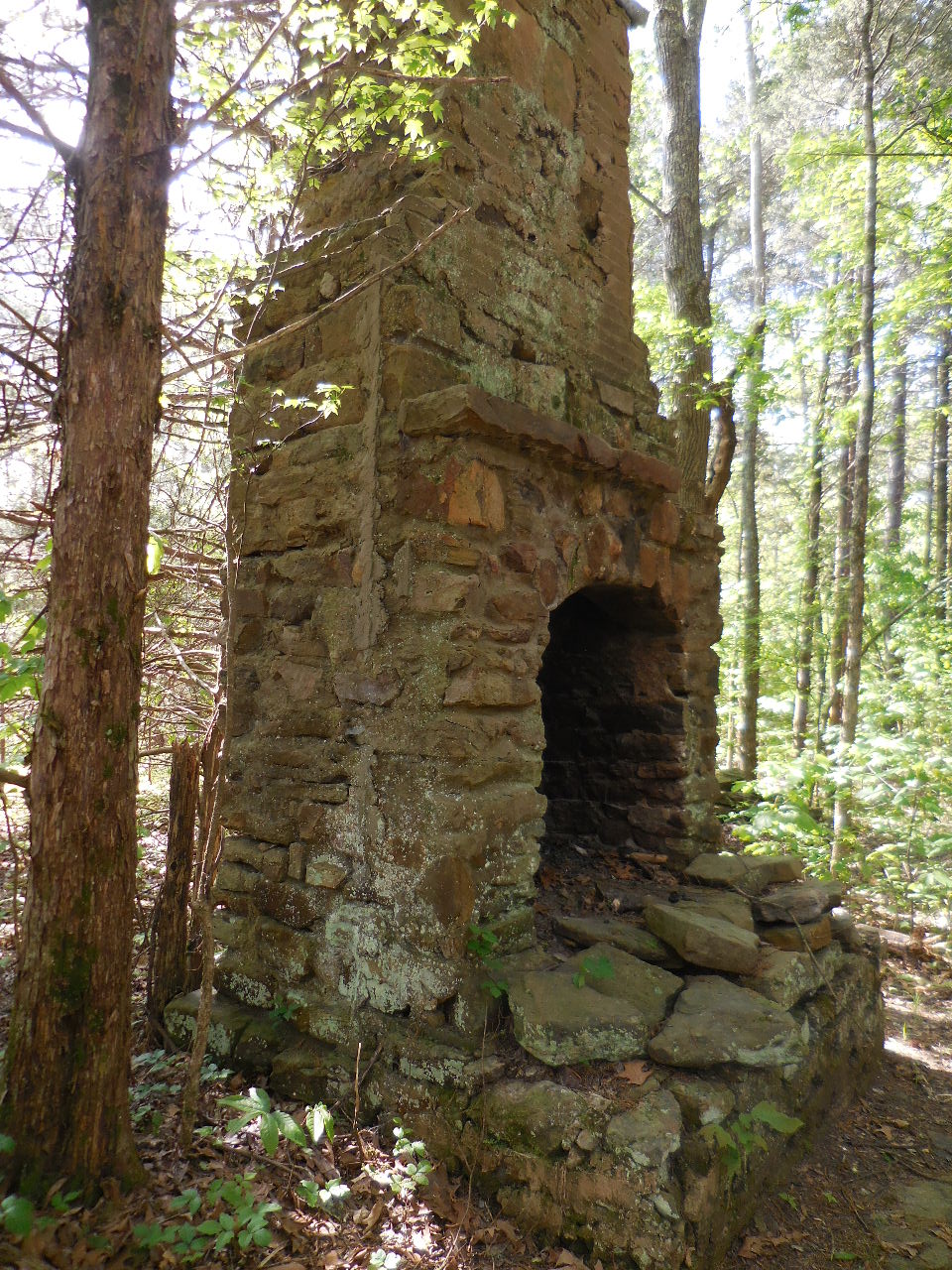
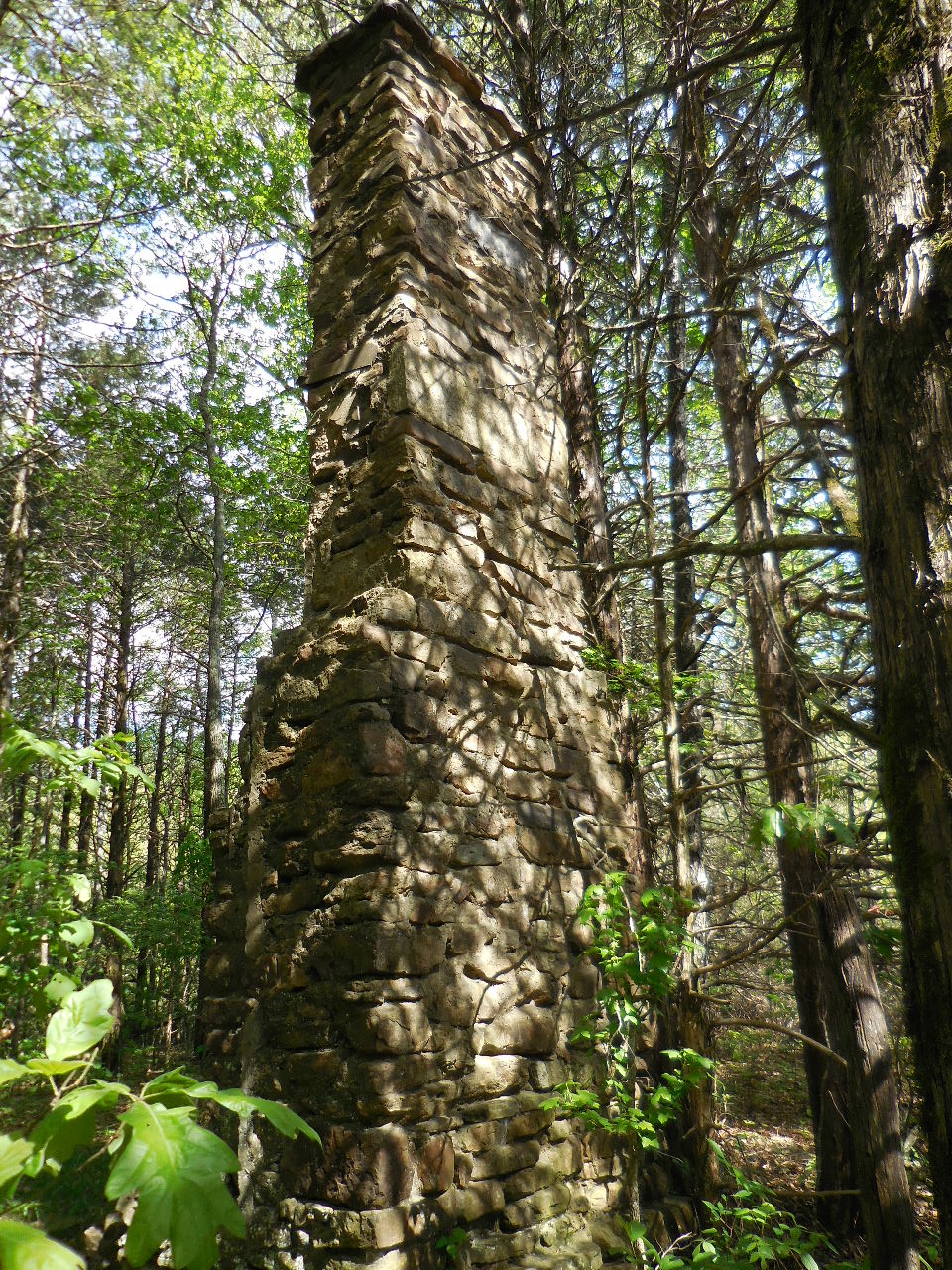
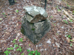
#4 Rock Chimney |

#4 Rock Chimney
35.76545°, 92.98978° |
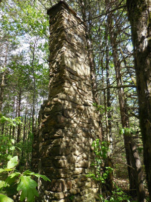
#4 Rock Chimney |

Old Fence at corner of Rock
Chimney |
Rock Pile south of Rock Chimney |
#5 Old Fence Corner
35.76517°, 92.98957° |
"C" Access
Point
35.76488°, 92.99032°
(This is where the Main Rd./Trail intersects
the Ozark Highlands Trail) |
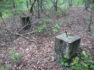
#6 Conc. Block
35.76480°, 92.99019° |
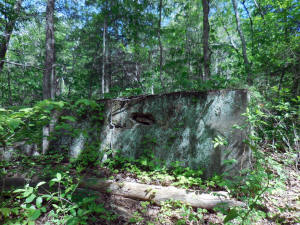
#6 Conc. Block |

"D" Access down to Richland Creek
35.76482°, 92.99047° |
#7 Rock Pad
35.76474°, 92.99048° |
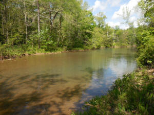
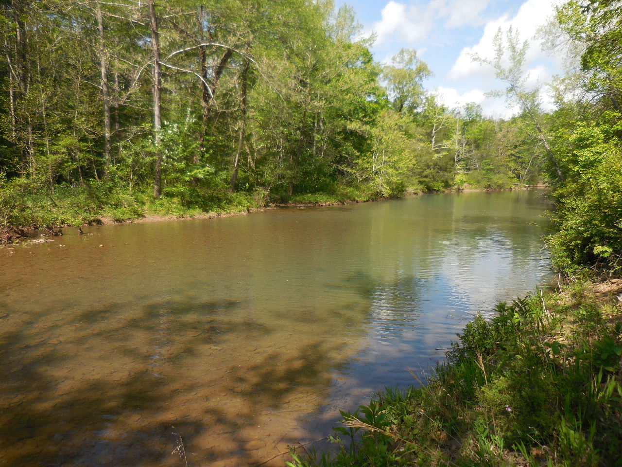
"F" Access to Richand Creek
35.76430°, 92.99059° |
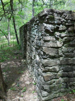
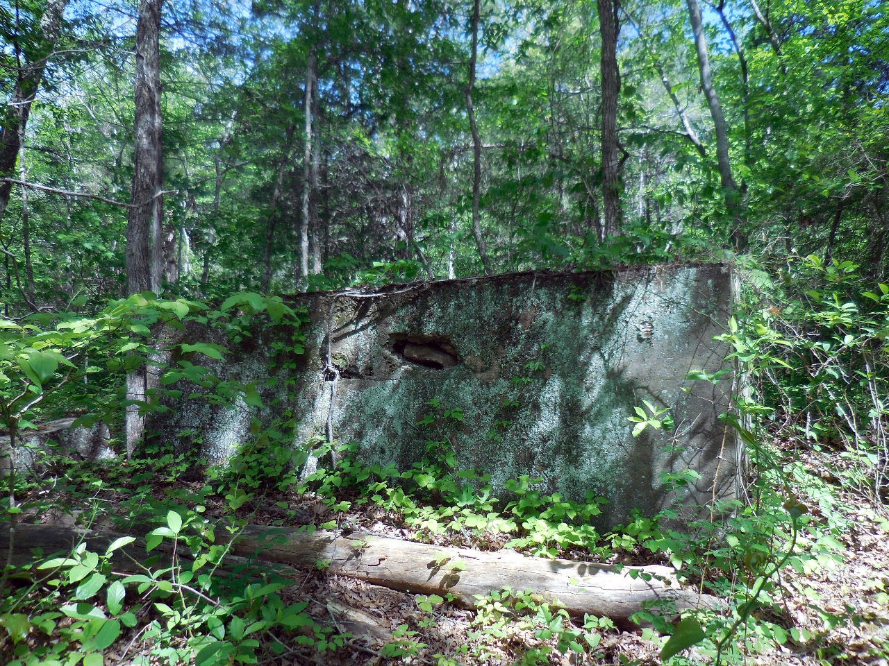
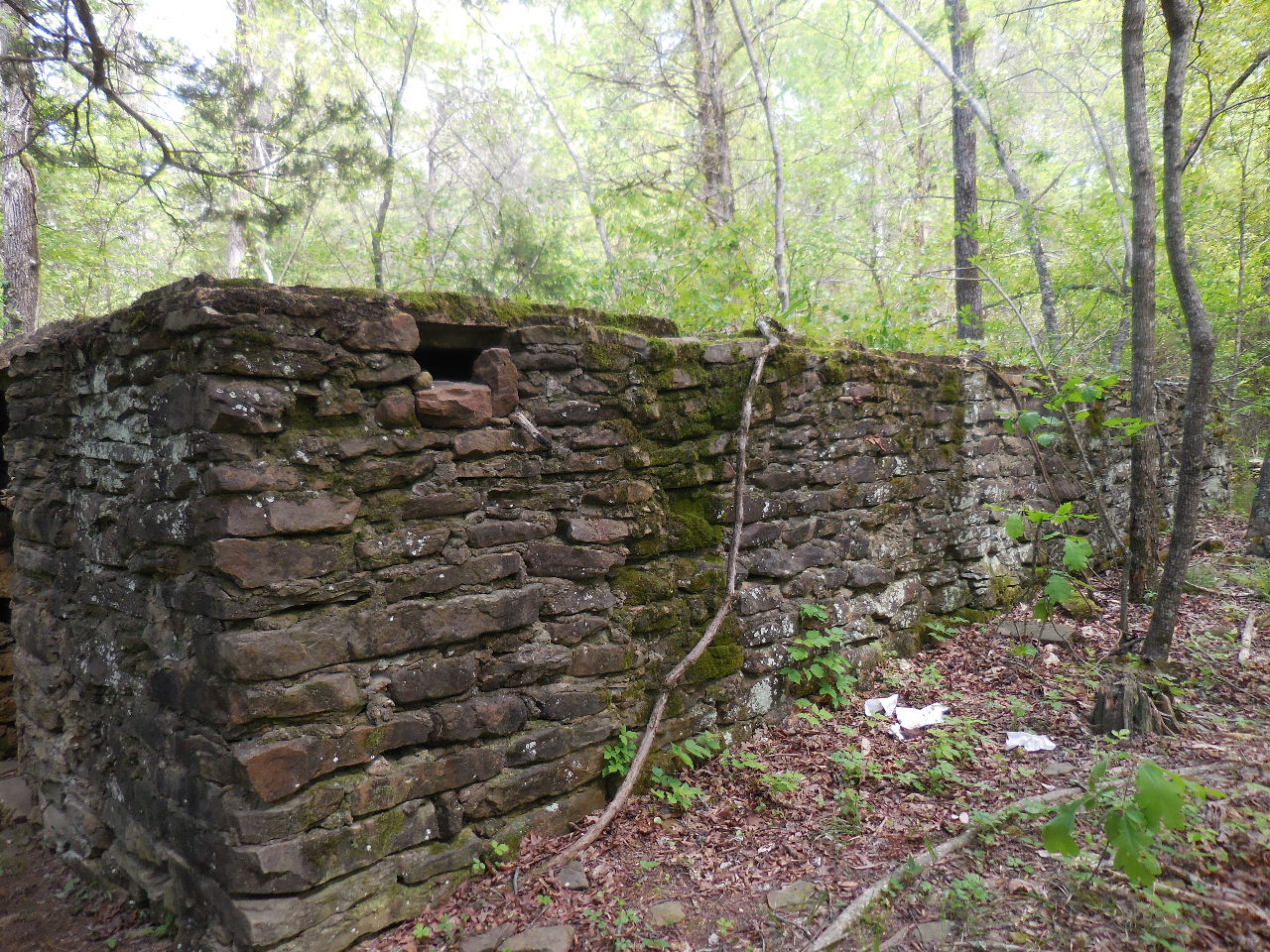
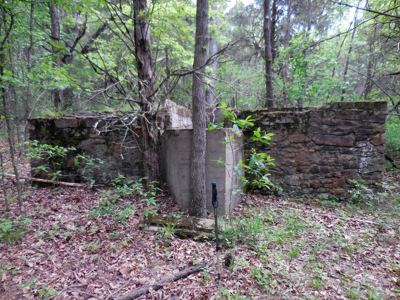
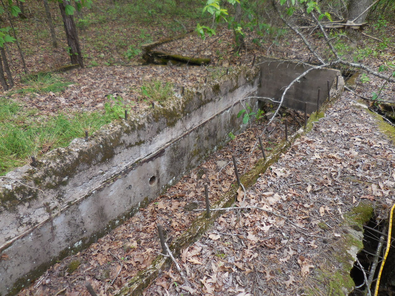
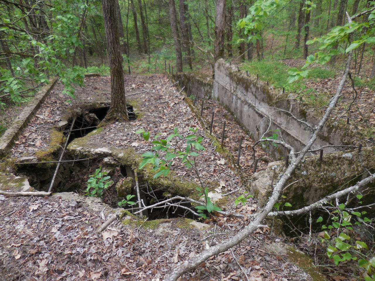
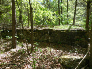
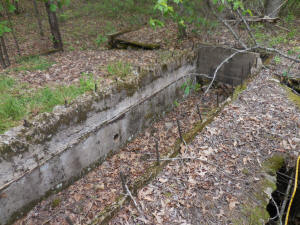
#8 Building |
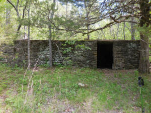
#8 Building (30'x30')
35.76497°, 92.99056° |

#8 Building |
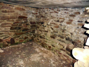
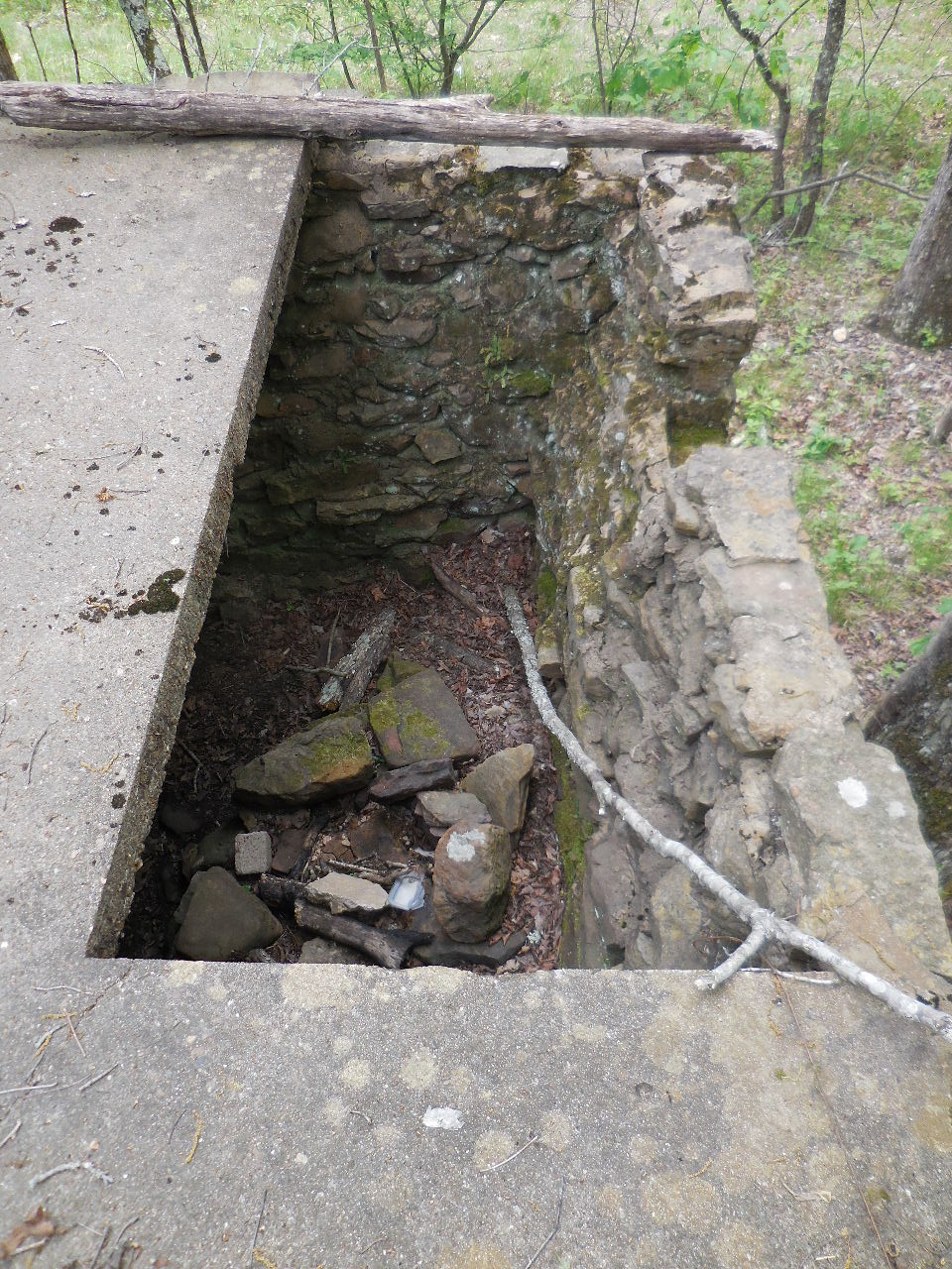
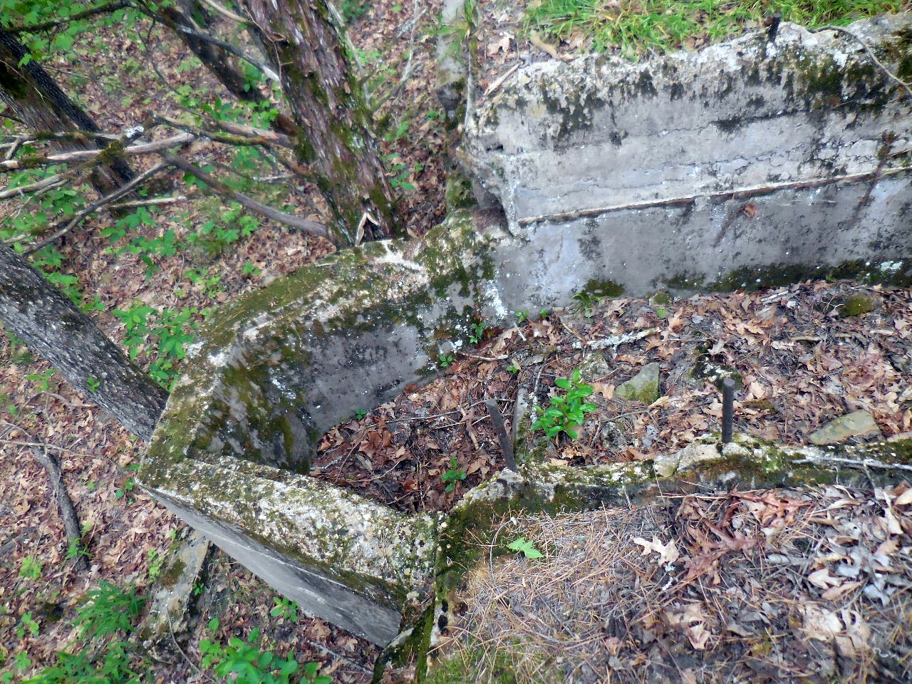
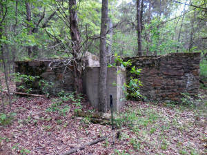
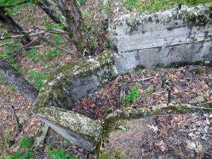
#8 Building
(Inside view) |

#8 Building
(4'x9' Cut-out on floor at SW Corner) |

Next to #8 Building on east side. |
| |
|
|

"E" Access to camp and shelter
35.76487°, 92.99069° |

#9 Rock Pier
35.76487°, 92.99098° |

Camp Site with #9 Rock Pier in
background.
35.76494°, 92.99104° |
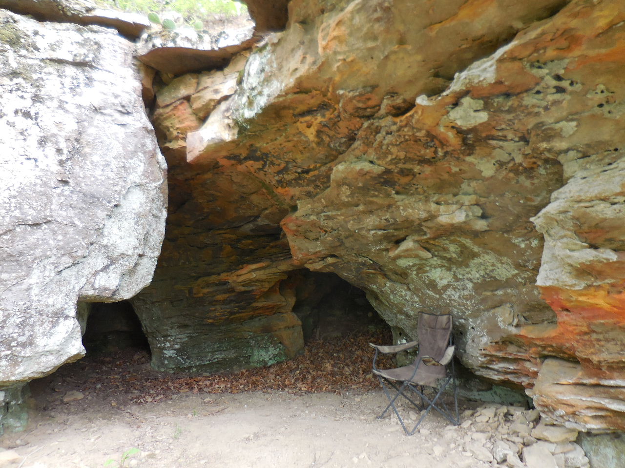
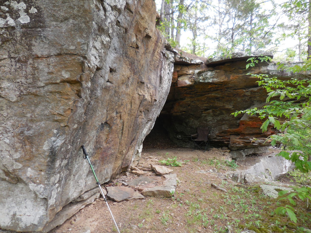
#10 Shelter |

#10 Shelter (with furnishings)
35.76493°, 92.99166°
|

#10 Shelter |
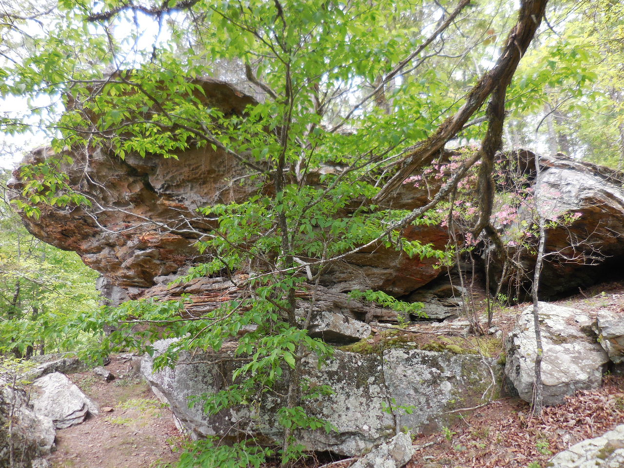
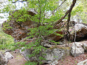
#11 The Point
35.76489°, 92.99175° |
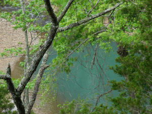
View of Richland Creek from #11 The
Point |
On top of #10 Shelter |
#12 Rock Piles (2 in area)
35.76523°, 92.99.059° |

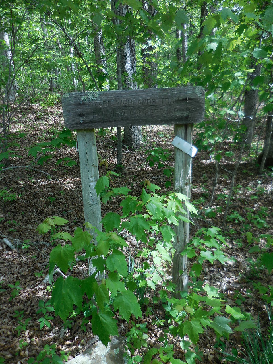
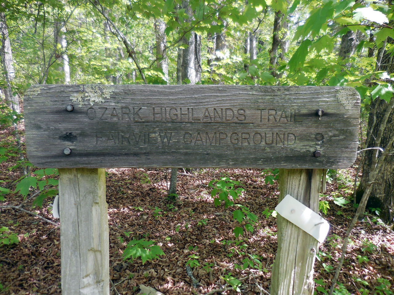
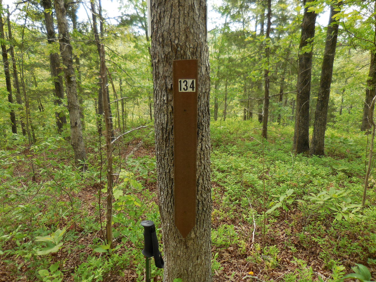
#13 OHT Trail Sign (Mile 134.2)
35.76523°, 92.99150° |

For a short time this was the end of
the OHT.
Fairview - 8 Miles
|
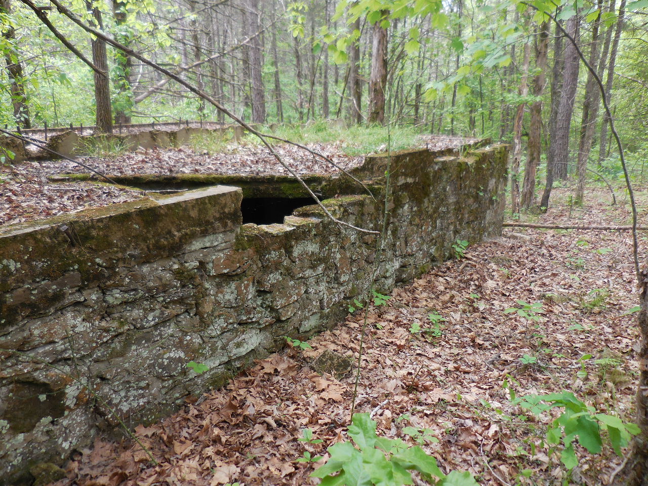
#14 Building |
#14 Building Front (20'x70')
35.76567°, 92.99052° |
#14 Building |
#14 Building |

#14 Building |
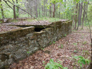
#14 Building |

#15 Line of Rocks
35.76533°, 92.99092° |
#16 Pile of Rocks
35.76538°, 92.99098°
|
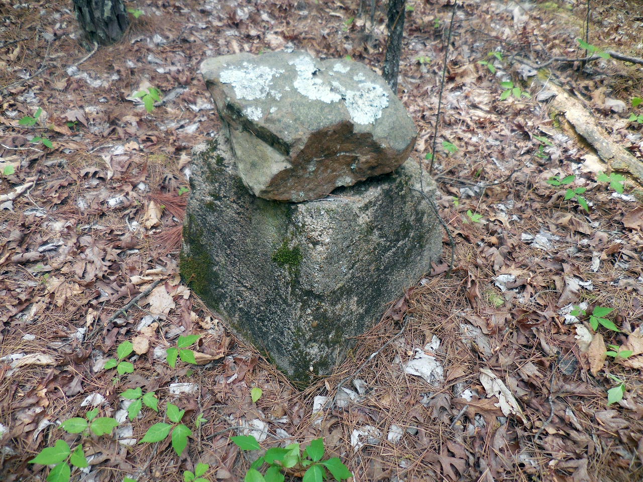
#17 Conc. Block
35.76572°, 92.99128° |
#18 Conc. Piers
35.76535°, 92.99145° |
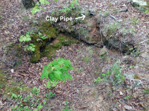
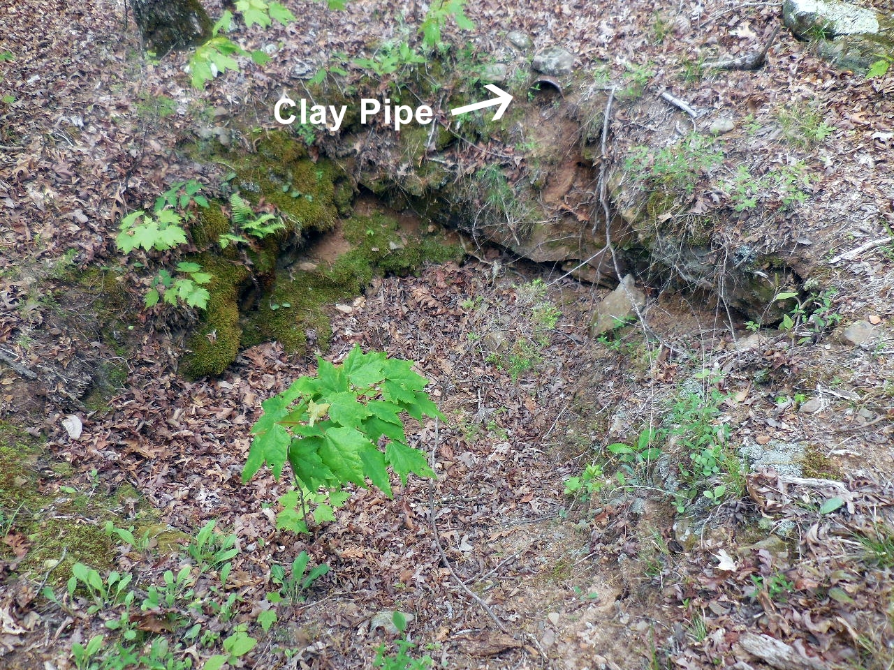
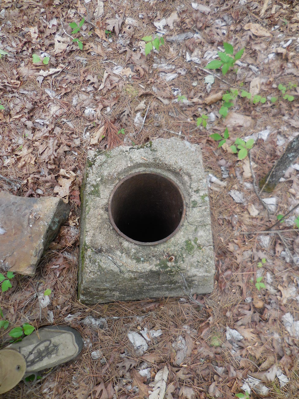
#19 Sink Hole w/Clay Pipe
35.76538°, 92.99151° |
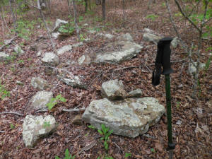
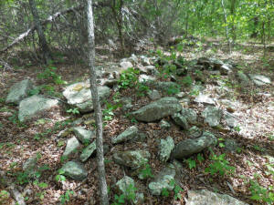
#20 Pile of Rocks
35.76541°, 92.99163° |
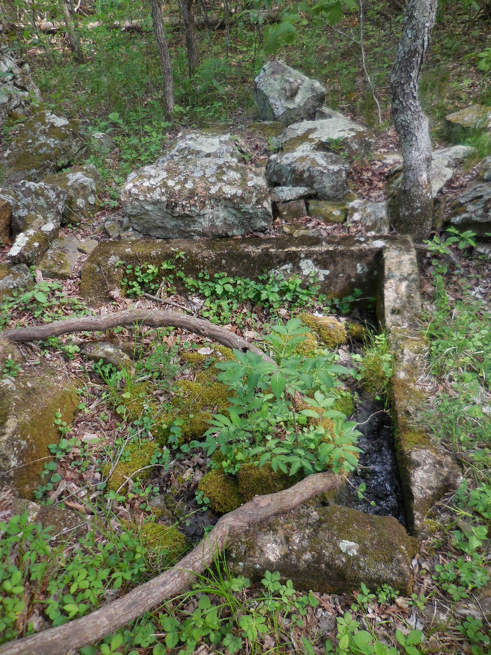
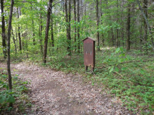
#21 Well |

#21 Well
35.76588°, 92.99191° |

Old Mile Marker 134
35.76637°, 92.99376°
(550' west of #21 Well) |
| |
|
|
|
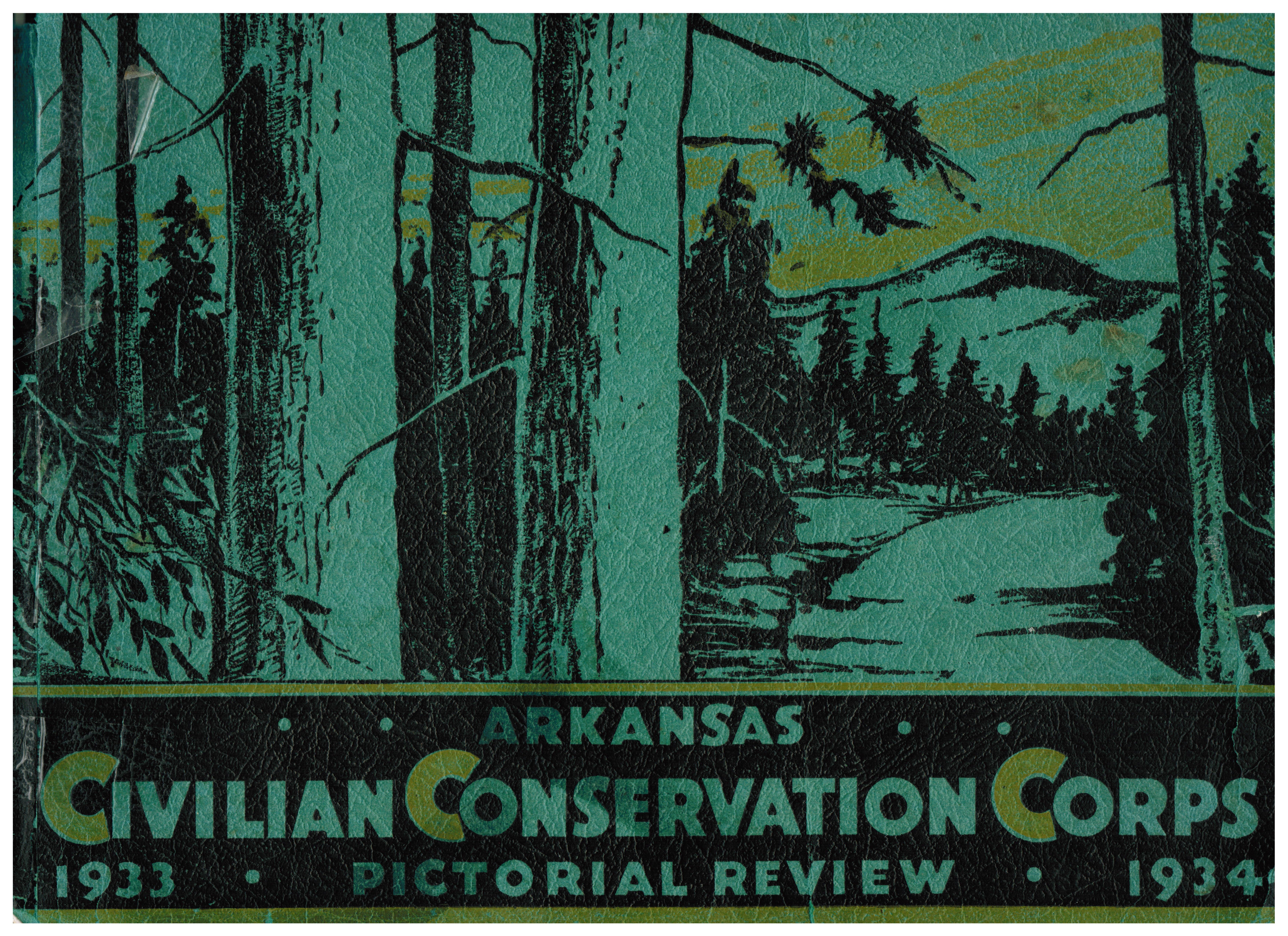
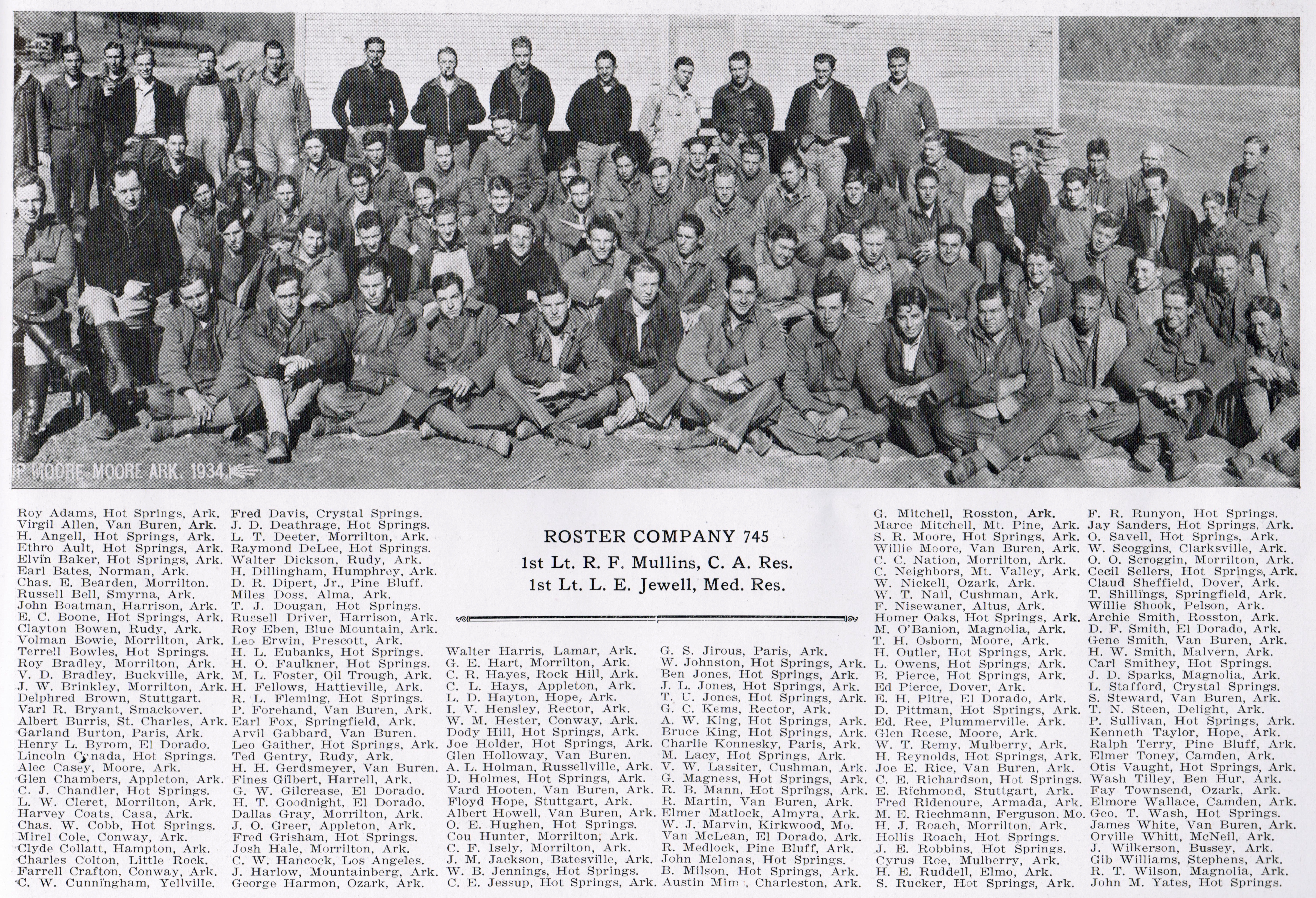
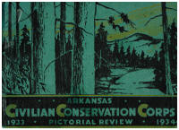
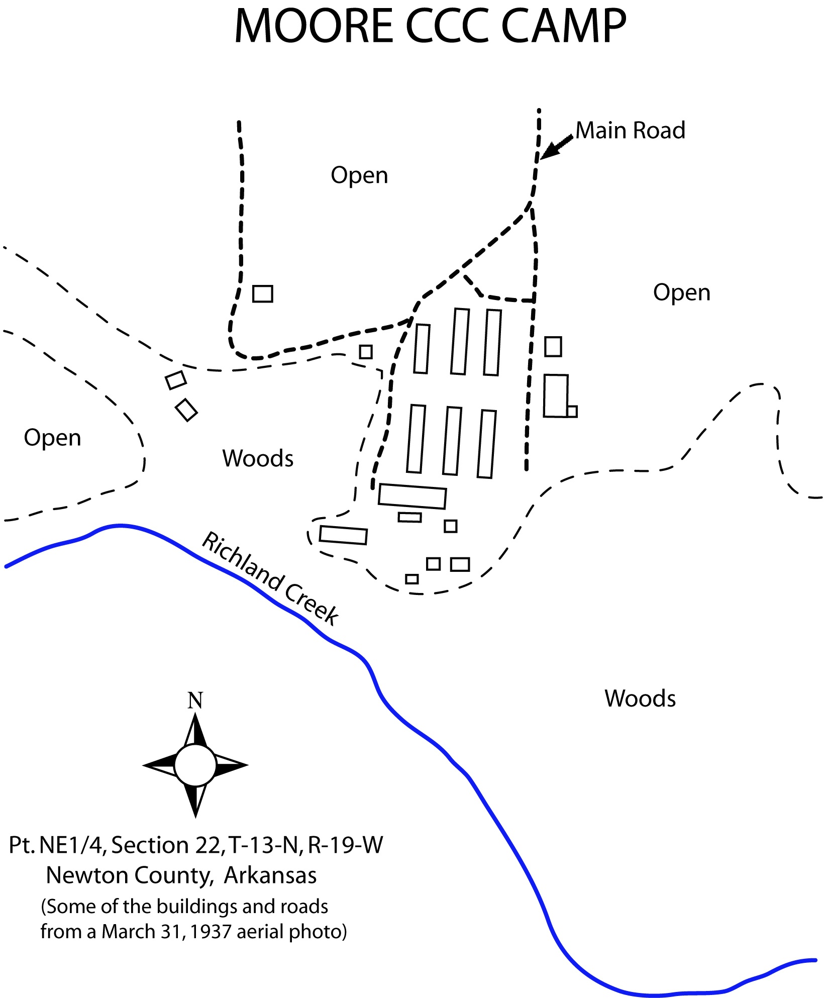
The following pictures are from:
Arkansas Civilian Conservation Corps
Pictorial Review 1933-1934 Parke-Harper
Company, Little Rock, AR
|
 |
| |
 |
| |
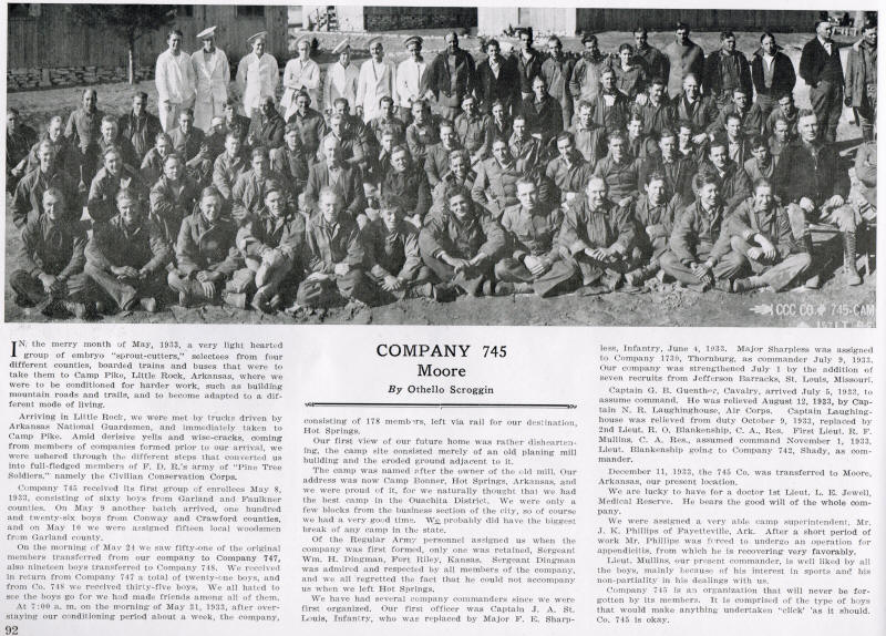
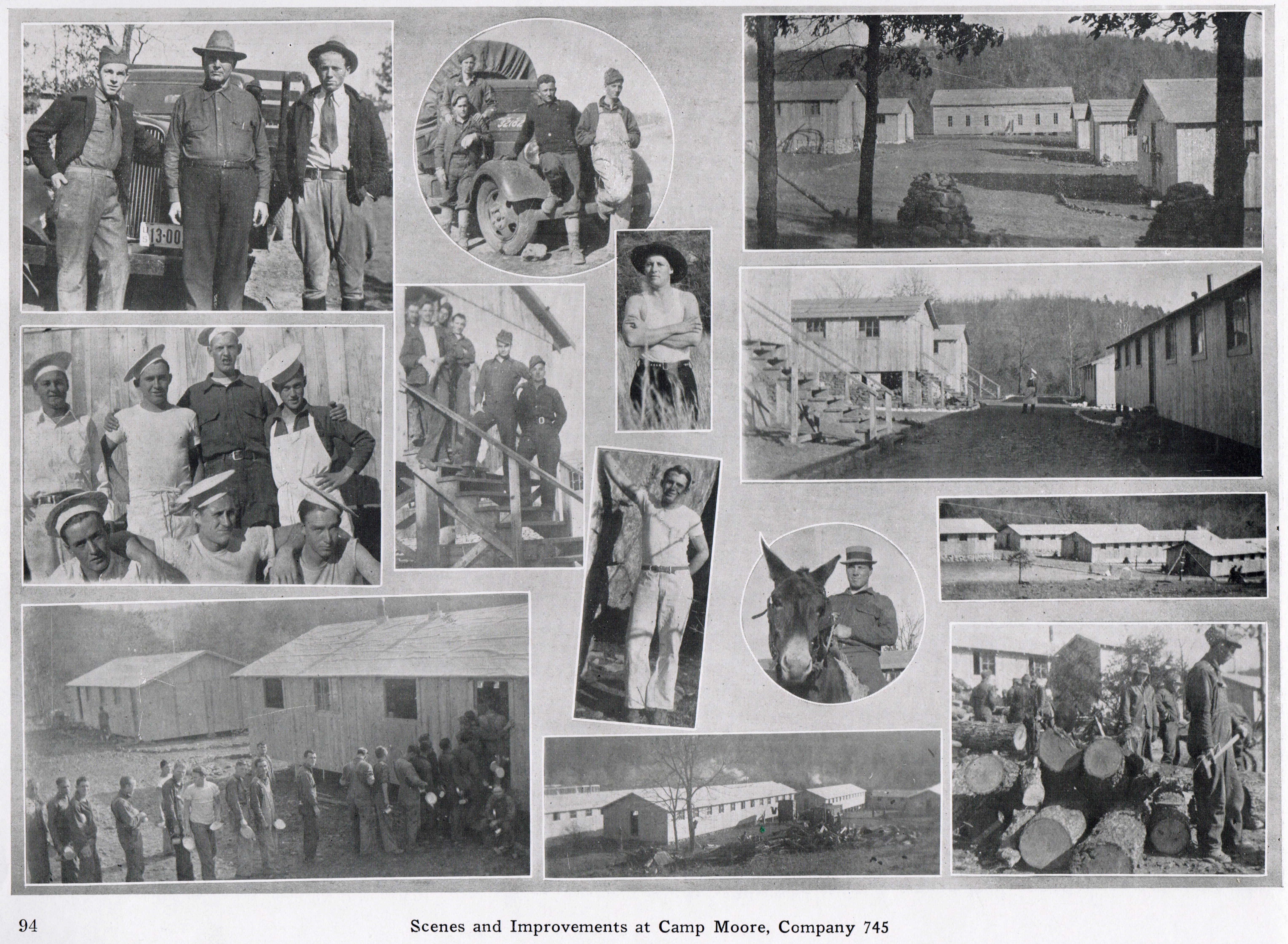
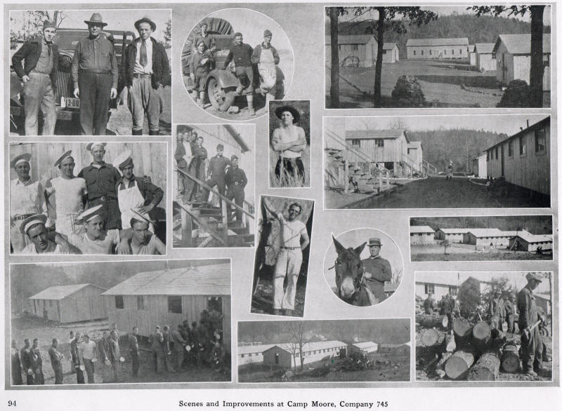
Click on the above picture to read a
story of Moore Camp.
|

.jpg)
.jpg)