.JPG)
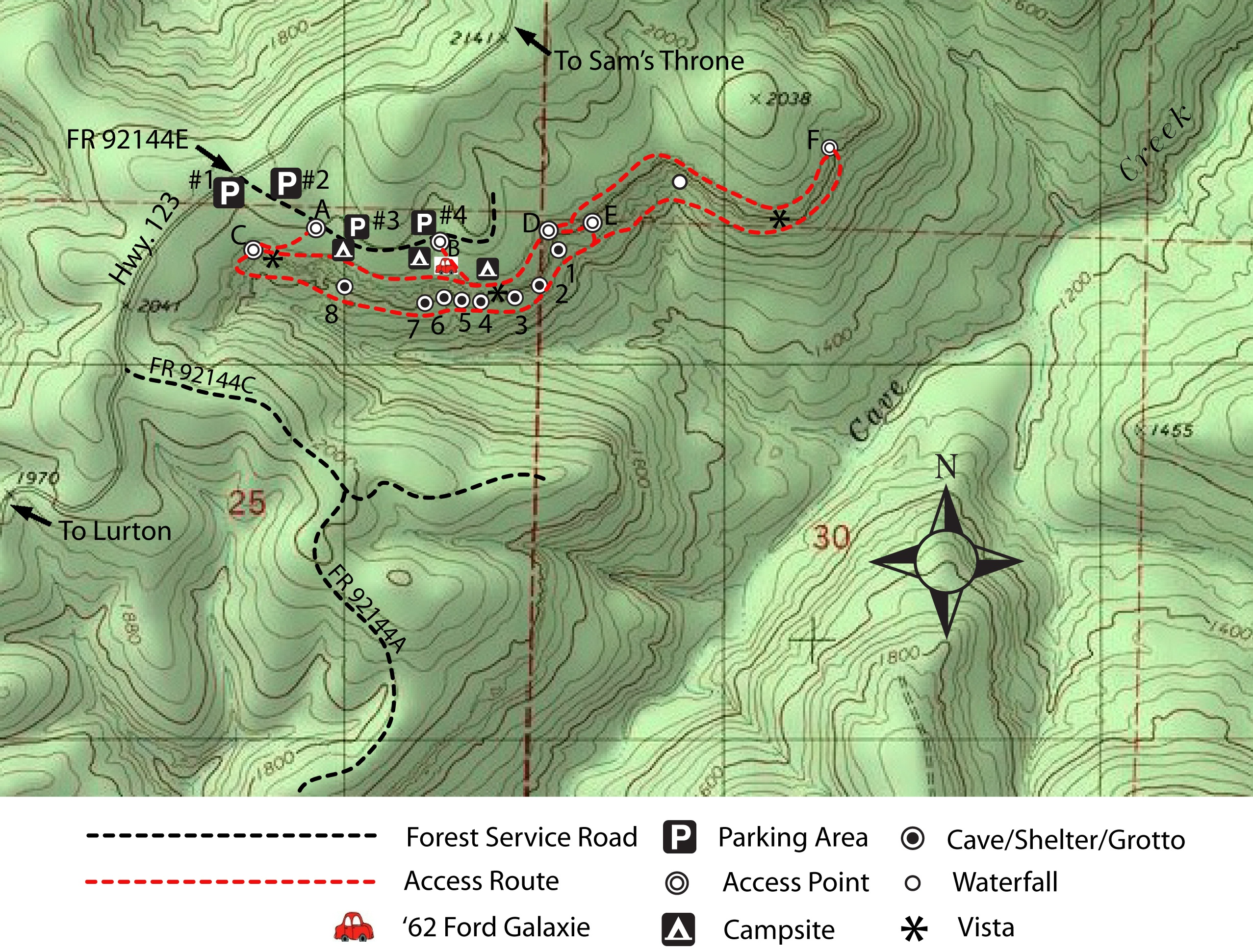
Forest Road 92144E & Hwy. 123
35.84470°, 93.05837° (Note "C" on tree)
(Parking Area #1 along Hwy. 123)
.JPG)
Parking Area #2 (North side of FR)
(2-Parking Spaces)
.JPG)
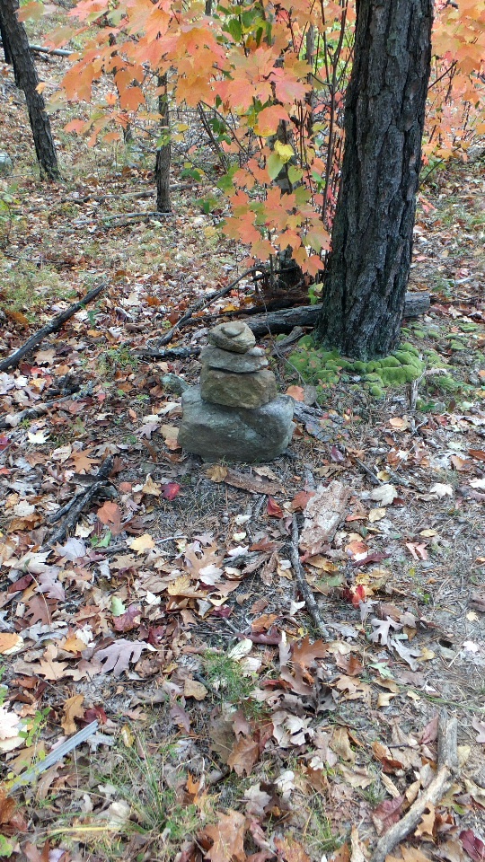
Trail Access Point "A"
35.84302°, 93.05540°
(Marked with white blazes and rock cairns)
.JPG)
Parking Area #3 (Looking West)
.JPG)
Parking Area #3 (Looking East)
35.84291°, 93.05528°
(Room for 10+ vehicles)
.JPG)
Primitive Campsite at Parking Area #3
(South side of road)
.JPG)
Primitive Campsite at Parking Area #3
(Other campsites on north side of road)
.JPG)
Primitive Campsite at Parking Area #4
(North side of road)
.JPG)
Primitive Campsite between PA #3 & #4
(South side of road)
.JPG)
Parking Area #4 and Primitive Campsite
35.84283°, 93.05338°
Access Point "B"
35.84298°, 93.05313°
(Trail marked with rock cairns)
.JPG)
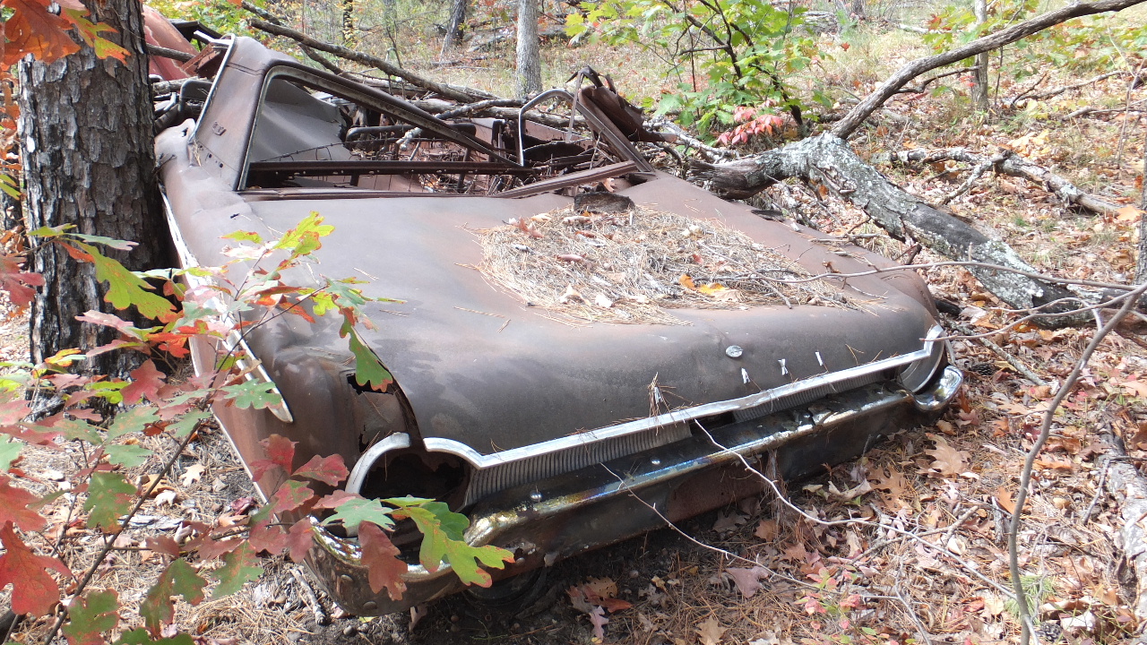
1962 Ford Galaxie
35.84263°, 93.05265°
.JPG)
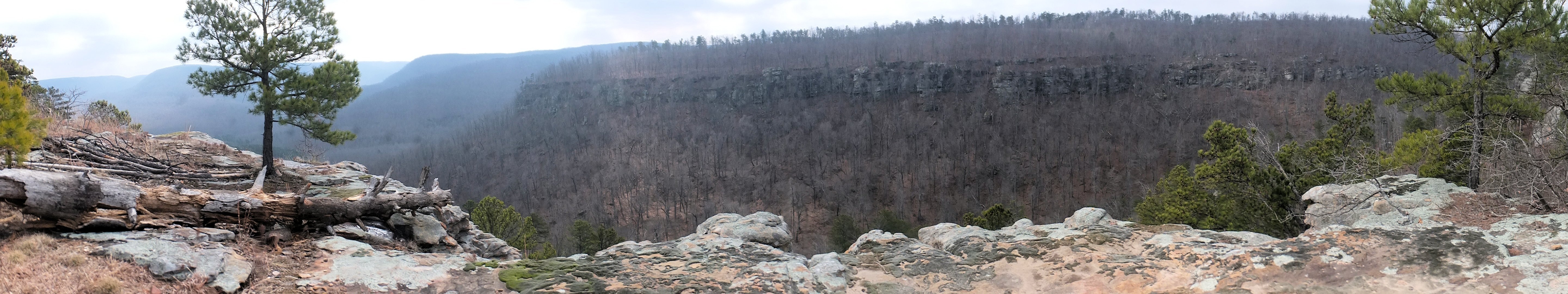
Trail "B" to Vista
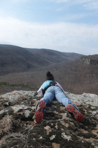
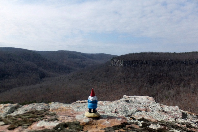
Vista "B" Looking East
35.84173°, 93.05155°
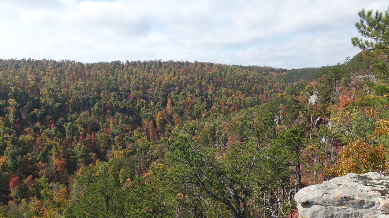
Vista "B" Looking West

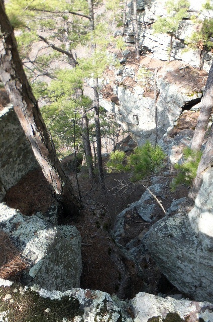
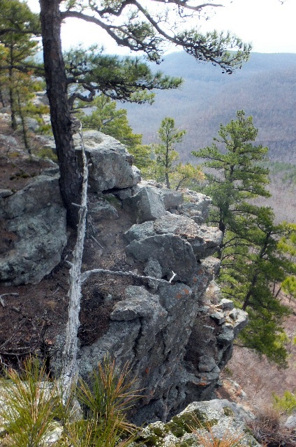
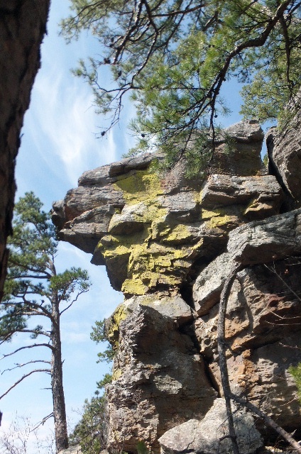
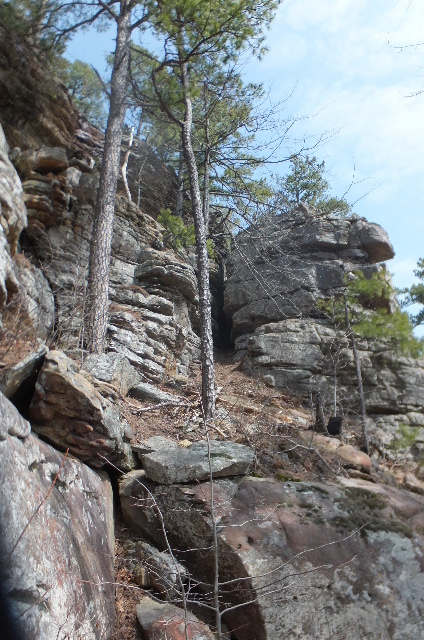
Vista at Access Point "C"
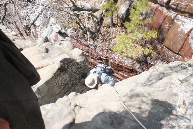
Access Point "C" Top (Rope necessary)
35.84277°, 93.05748°
Looking up from bottom of Access "C"

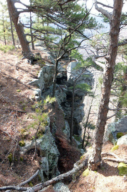
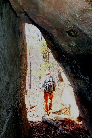
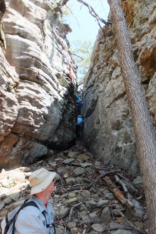
Begin access down to Bear Crack
Access Point "D"
35.84330°, 93.04973°
(Need to get on lower level bluff line)
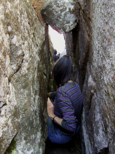
Access Point "E" Bear Crack
(Heading down east side)
35.84522°, 93.04158°
Access Point "E" Bear Crack
(Heading down west side)
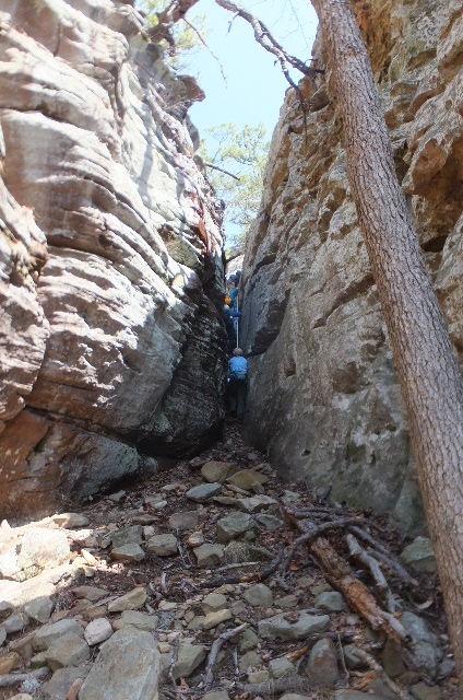
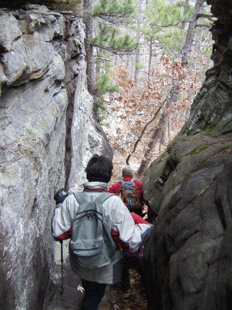
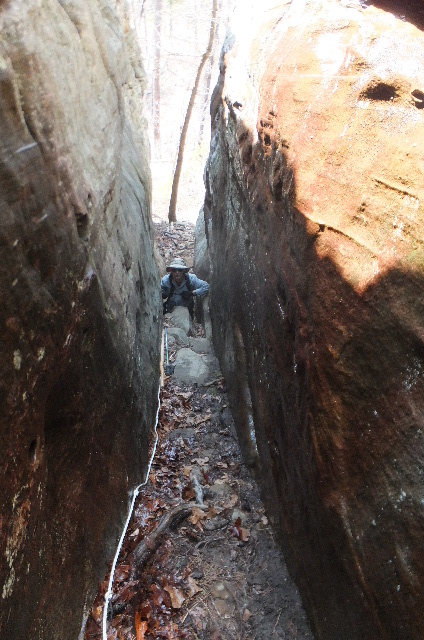
This is the best way to go down,
but it is very narrow.
Where we are headed.

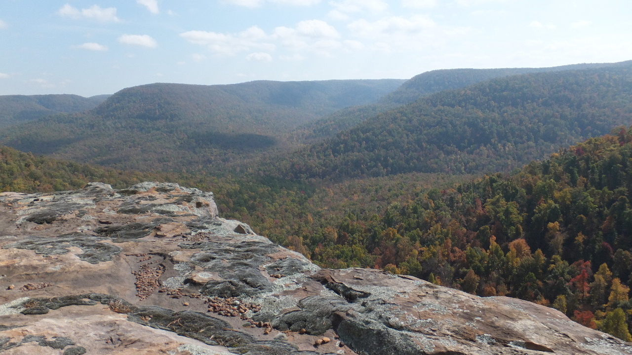
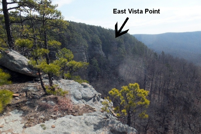
East Vista
East Vista looking south
35.84380°, 93.04327°

Access Point "F"
35.84522°, 93.04158°
(At this point you have to go way down the hillside
to avoid all the rock slides and briars
next to the bluffs. You then head west and then
back up to the bluffs where ever possible)
This is where we headed back up.
(I would not recommend doing this
in the summer months)
This is looking up at East Vista
Some of the bluffs as we head west.


Avery Falls
35.84435°, 93.04578°
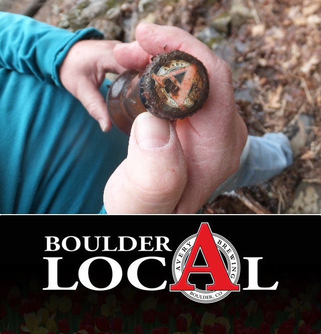
A full bottle of Avery Beer was found at the
base of the waterfall.....thus we named it
Avery Falls.
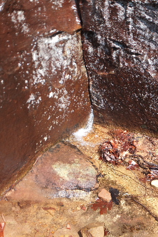
Evidence of rock climbing here.
This is looking up at the Bear Crack

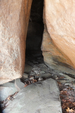
Waterfall Cave 1
35.84308°, 93.04940°
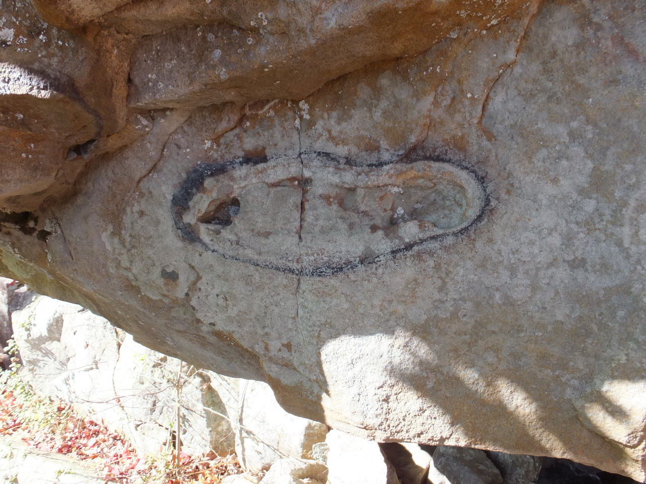
Petrified Footprint? (On bluff wall)
35.84273°, 93.04977°
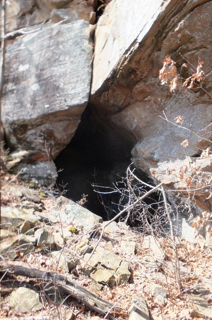
Entrance to Cave 2
35.84233°, 93.04978°
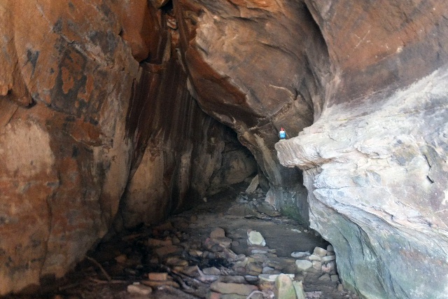
Inside Cave 2

Cave 3
35.84188°, 93.05035°

Rock Oven Grotto 4
35.84150°, 93.05162°

Cave 5
35.84183°, 93.05245°
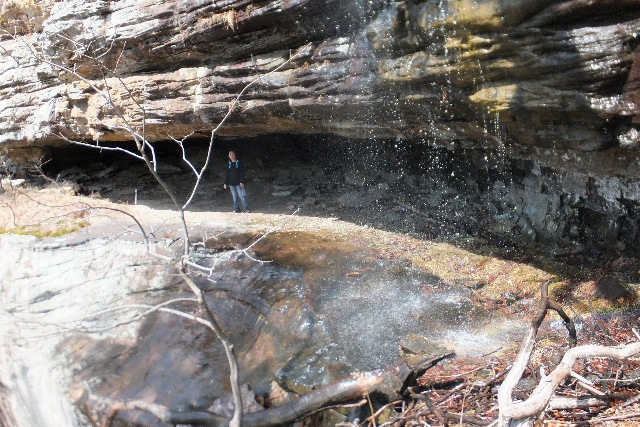
Grotto Waterfall 6
35.84188°, 93.05262°
(Our lunch spot)
Cave 7
35.84190°, 93.05288°
(Just west of Grotto Waterfall)


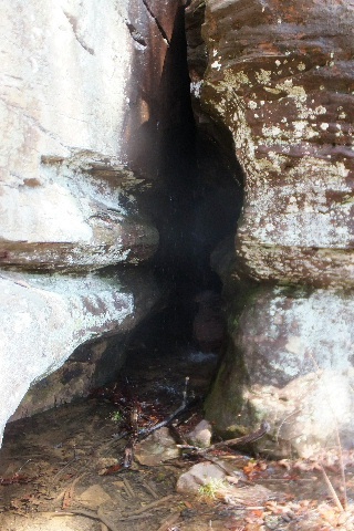
Cave 8
35.84210°, 93.05557°
Inside Cave 8
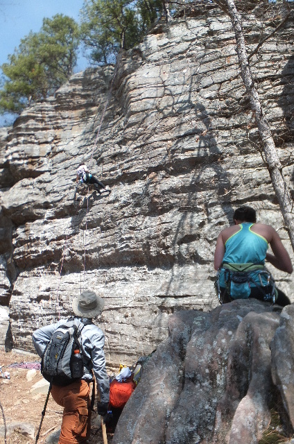
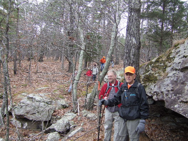
Rock Climbers
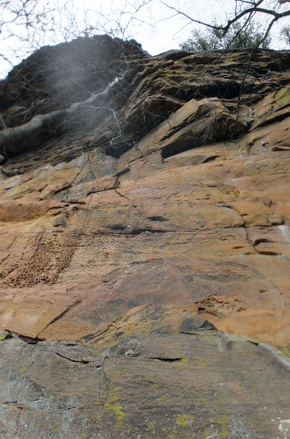
Small waterfall at base of bluff.
(Amazing how much water pressure there was)
Again, Access Point "C"
Looking back down Access "C"
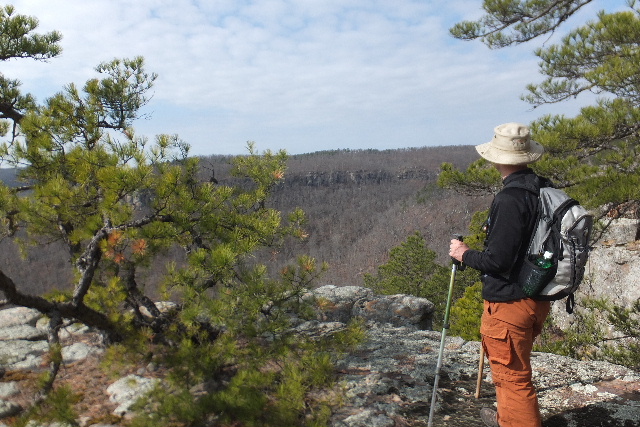
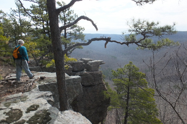
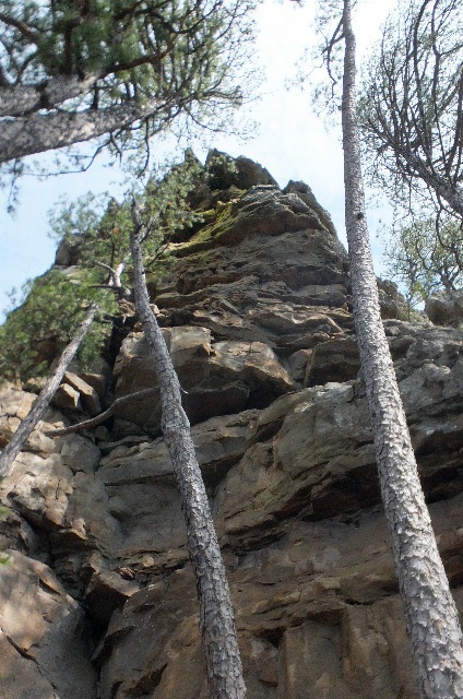
Cave Creek Bluffs (View from Vista "B")