| TAKAHIK River Valley Hikers |
| Home Scheduled Hikes Pictures Videos Membership Links Trails & Waterfalls Mushrooms Products In Memory Of |
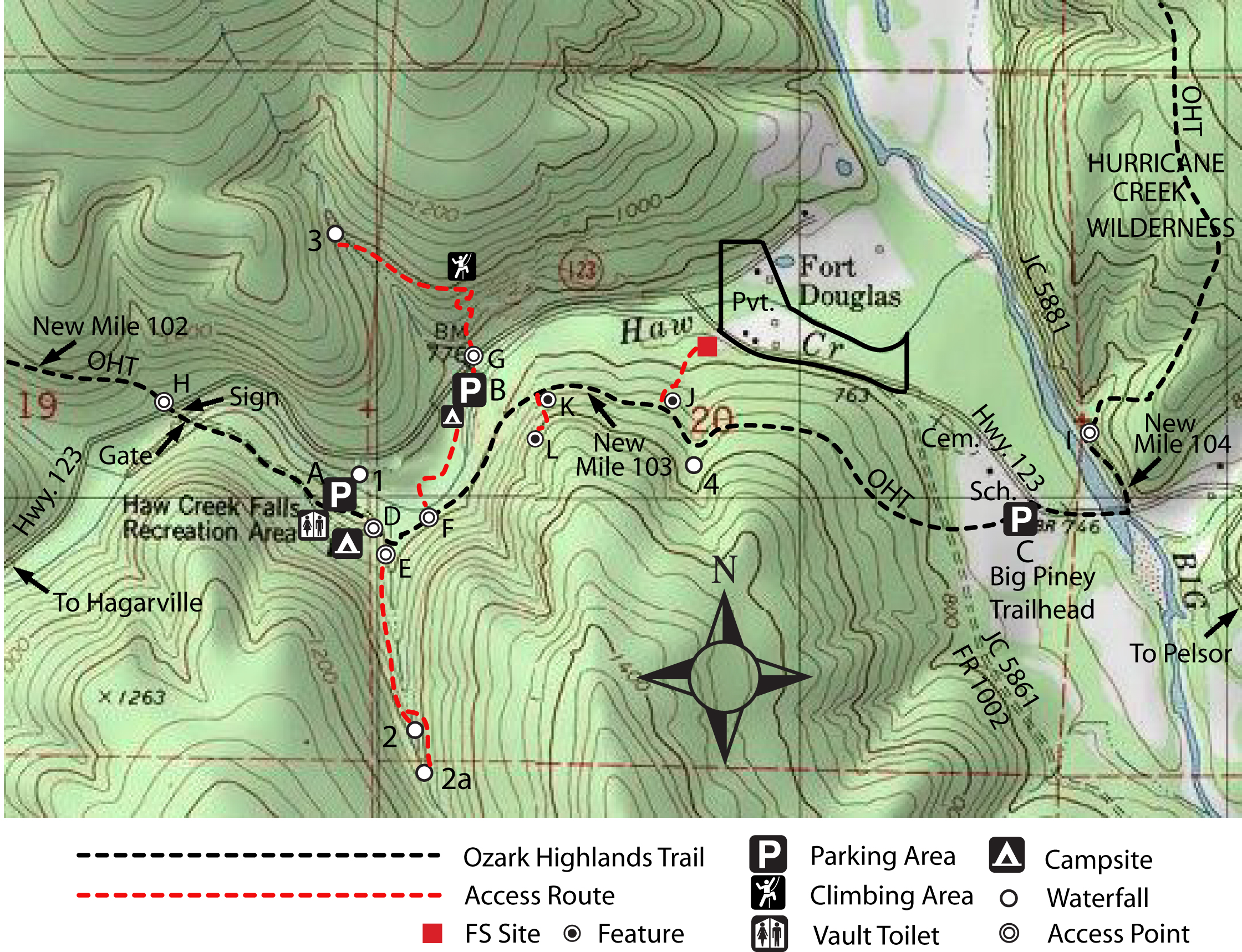
| HAW CREEK / PACK RAT FALLS / PAM'S GROTTO |
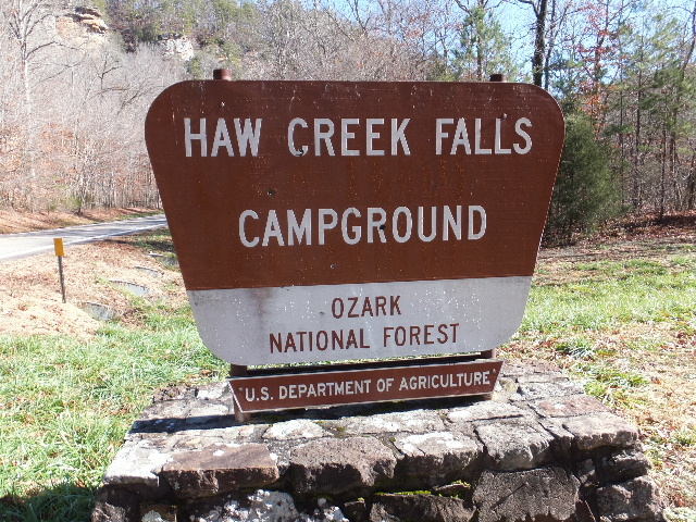 Entrance to Campground 35.67930°, 93.25973° |
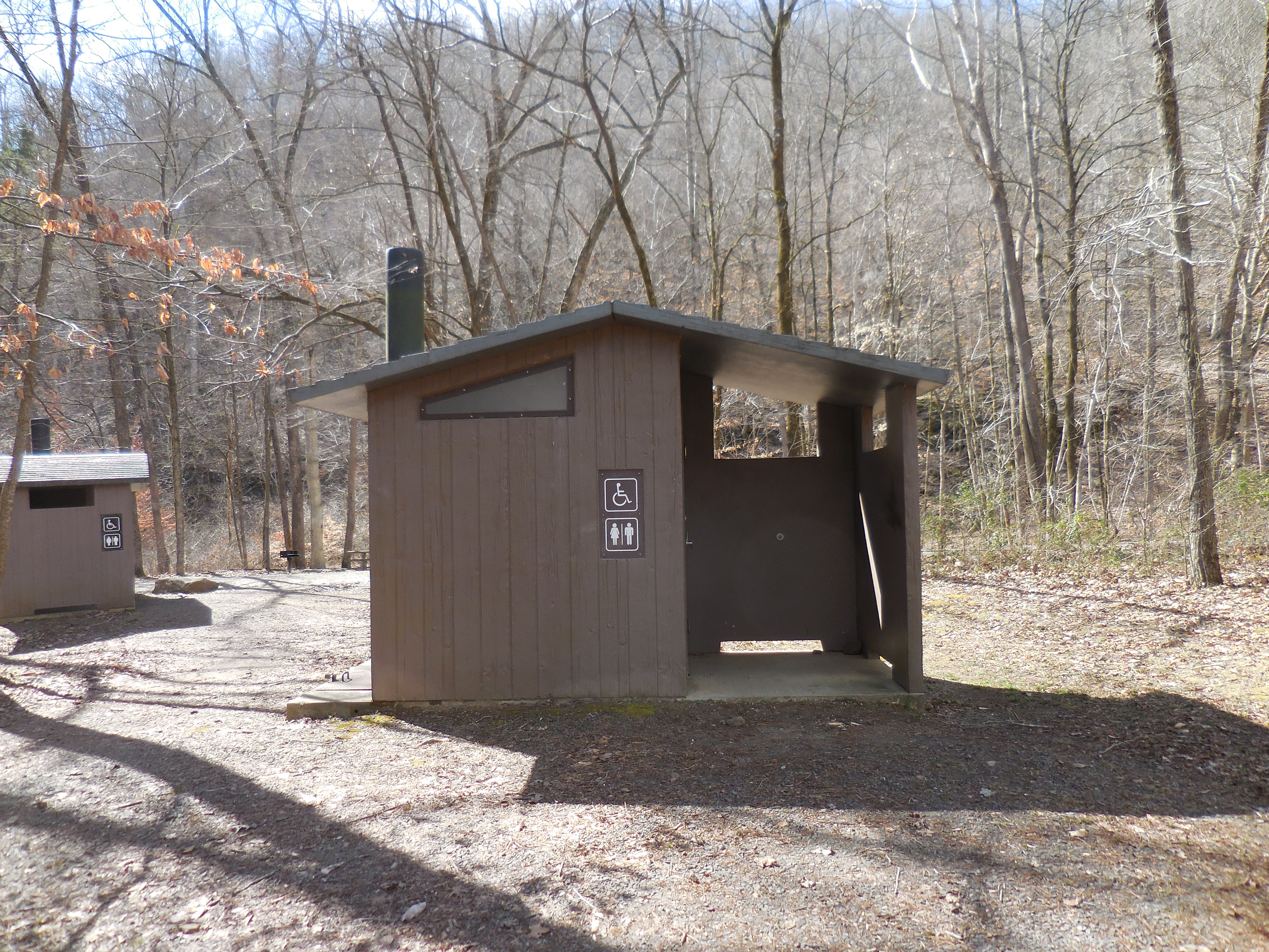 Restrooms |
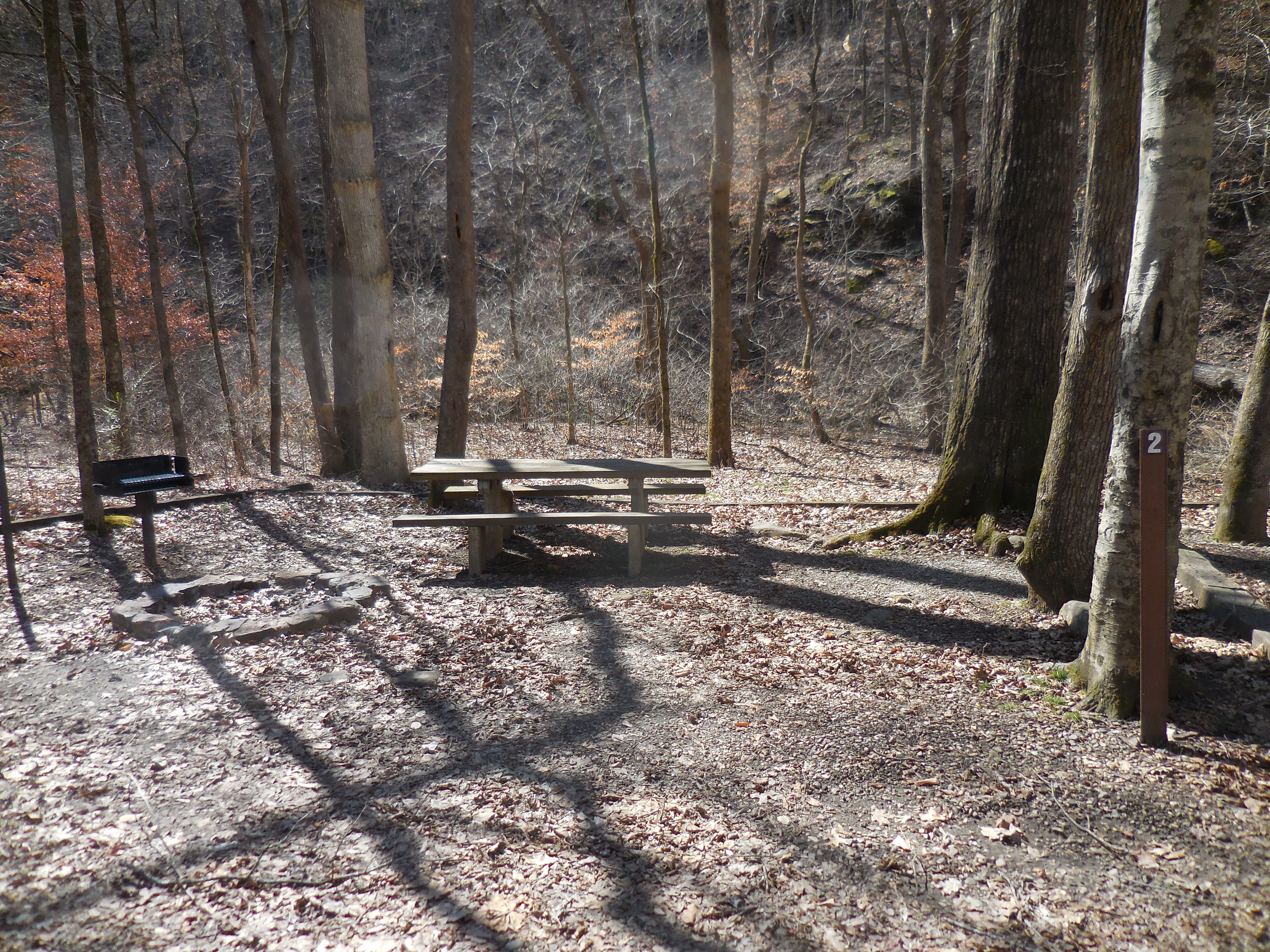 Typical Campsite |
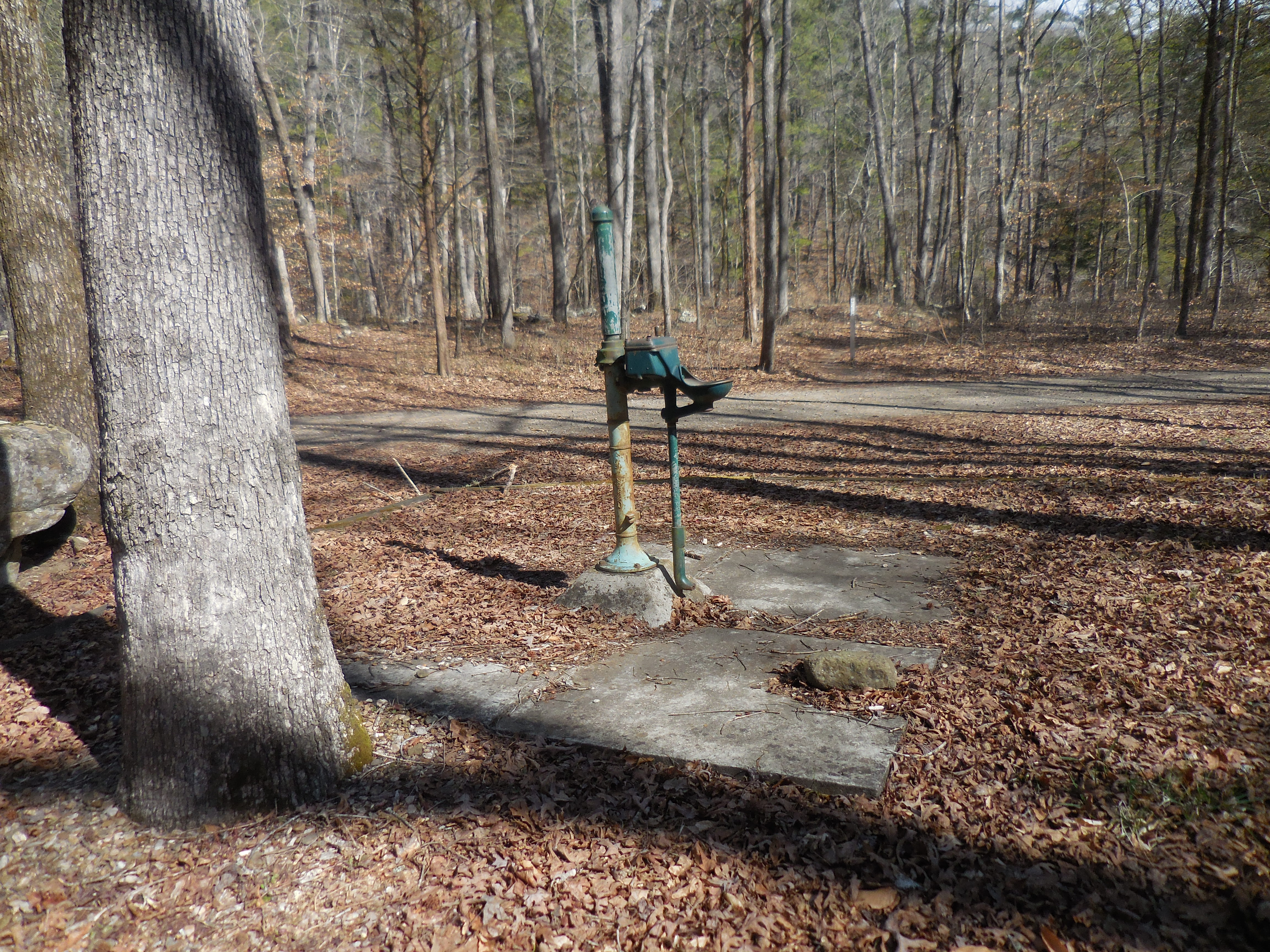 Water Source |
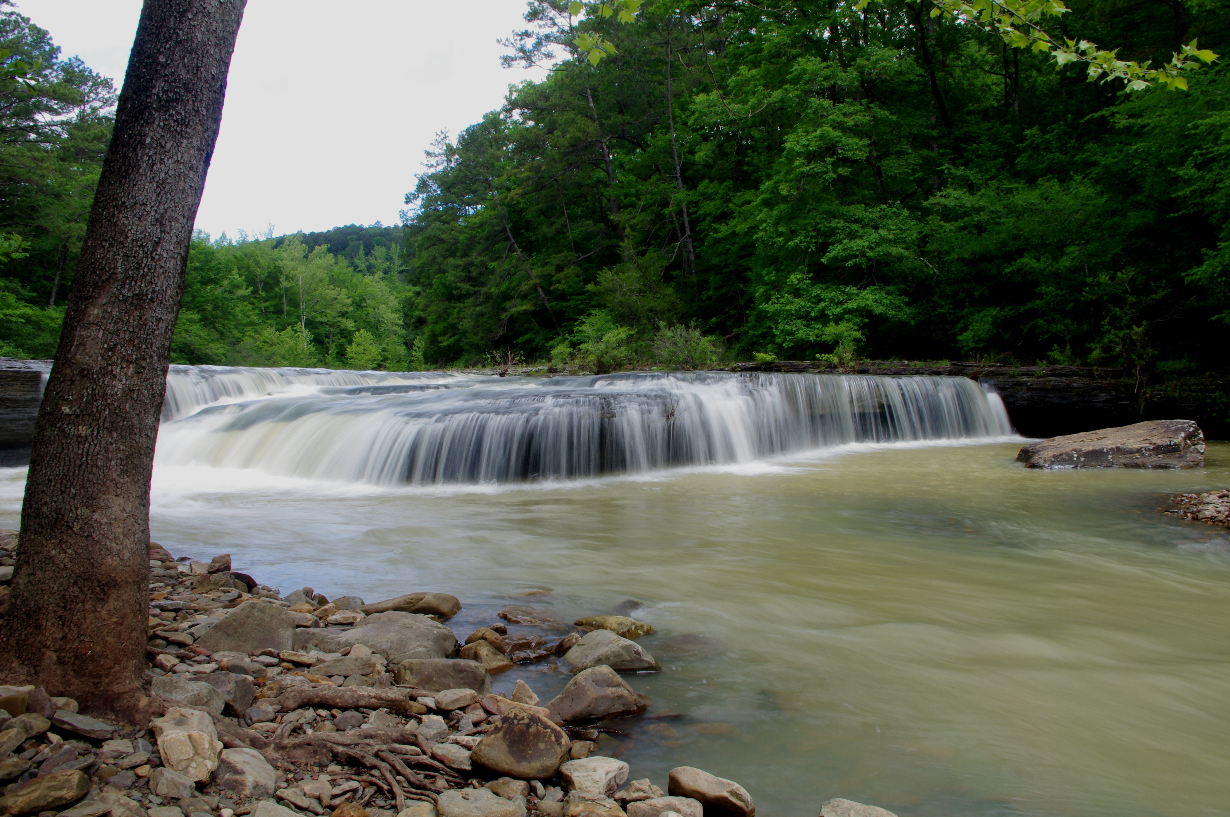 WF #1 Haw Creek Falls 35.67782°, 93.25520° |
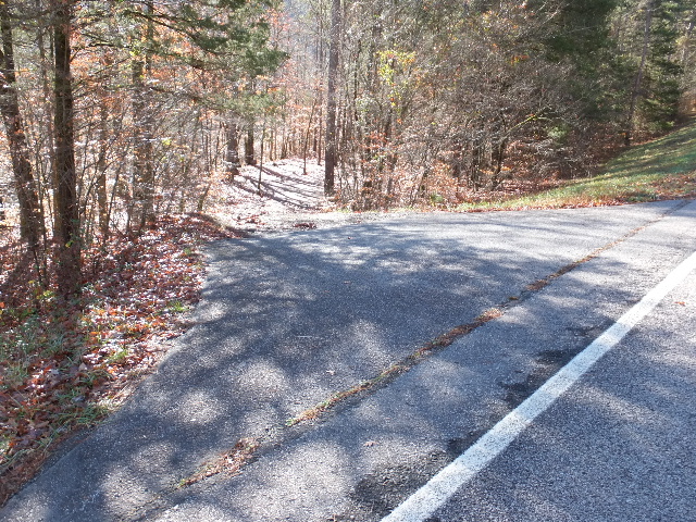
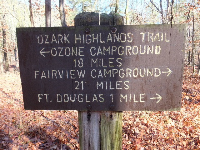 Trailhead Access Point "D" 35.67705°, 93.25441° (Between Camps 7 & 8) |
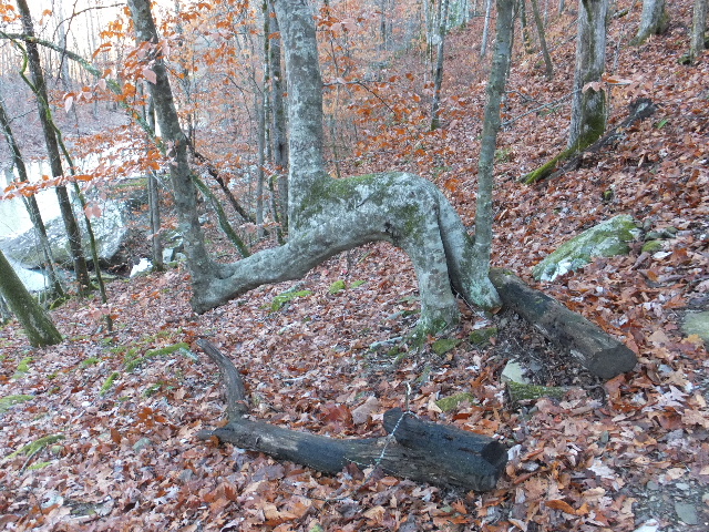
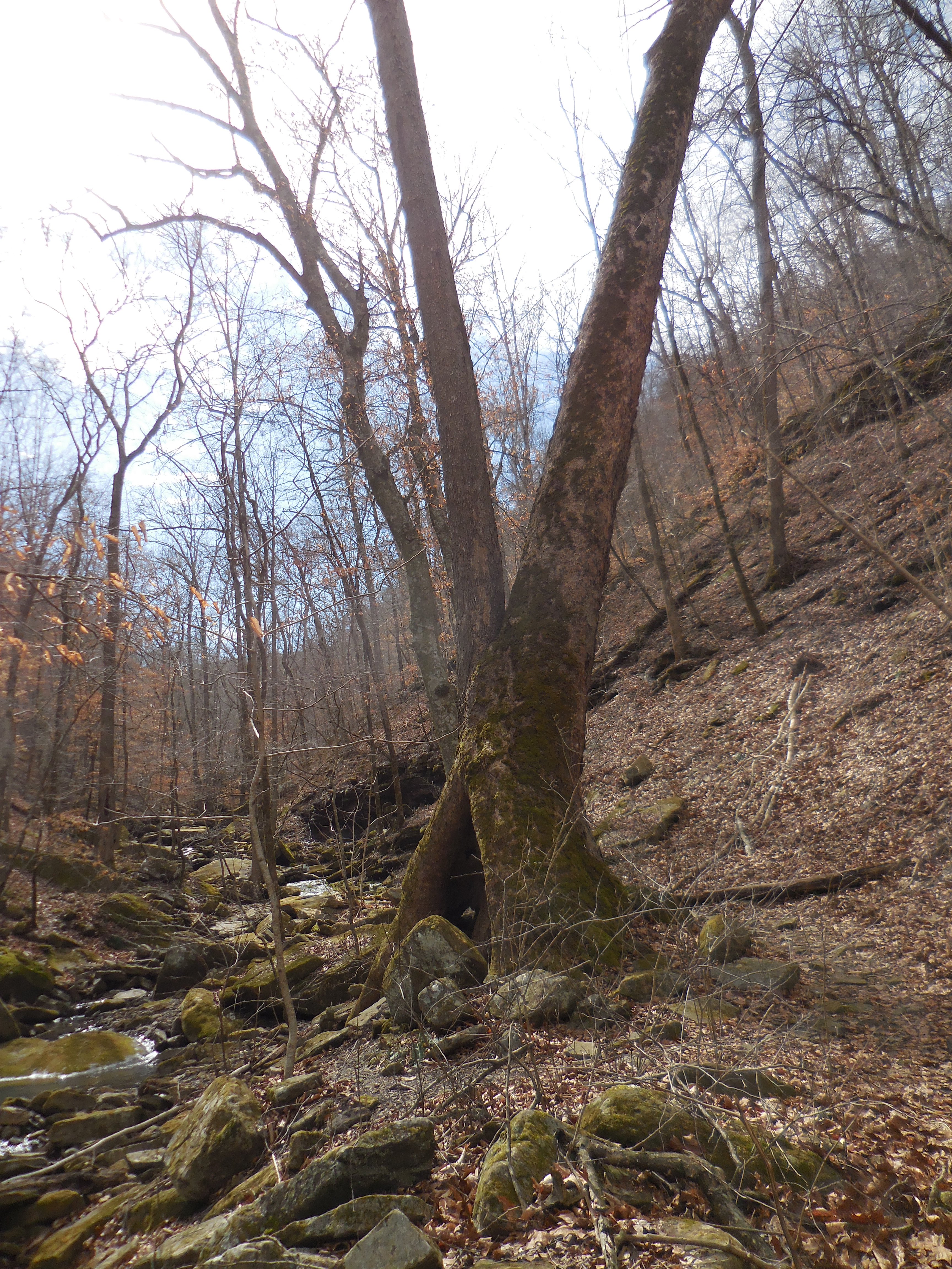 Large Sycamore Tree on way to WF #2 Pack Rat Falls |
 WF #2 Pack Rat Falls 35.67267°, 93.25335° |
.jpg) WF #2a Upper Pack Rat Falls 35.67180°, 93.25314° |
 Pam's Grotto Access Point "F" from OHT 35.67697°, 93.25287° |
 Parking Area "B" 35.67995°, 93.25224° |
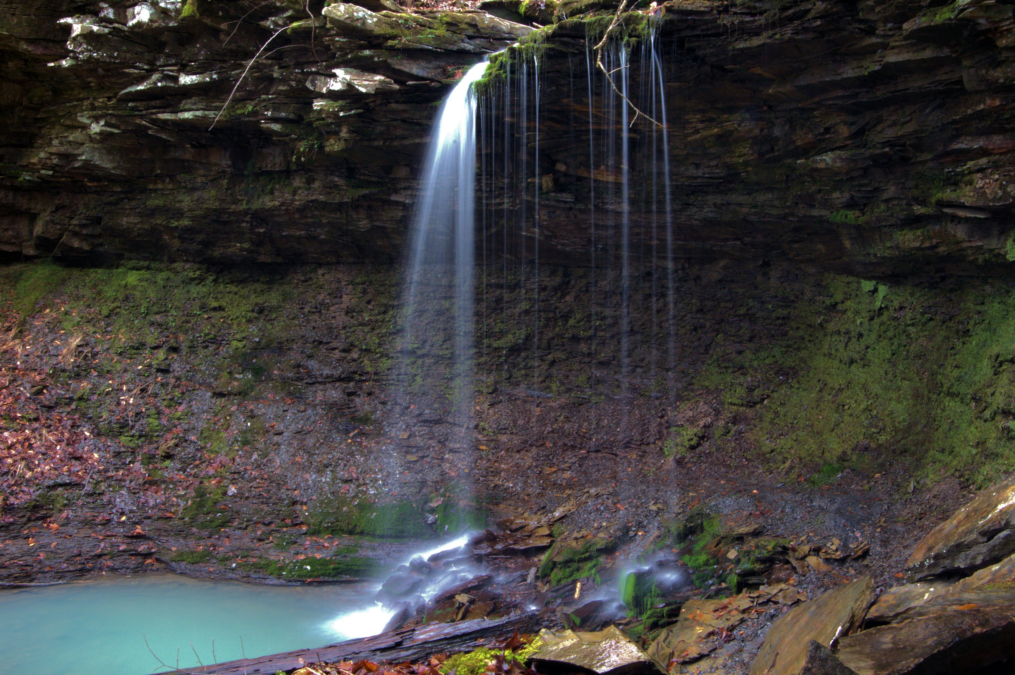
 WF #3 Pam's Grotto Falls 35.68330°, 93.25539° |
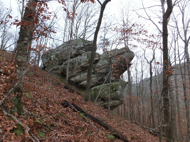 "K" Boulder 35.67986°, 93.25004° |
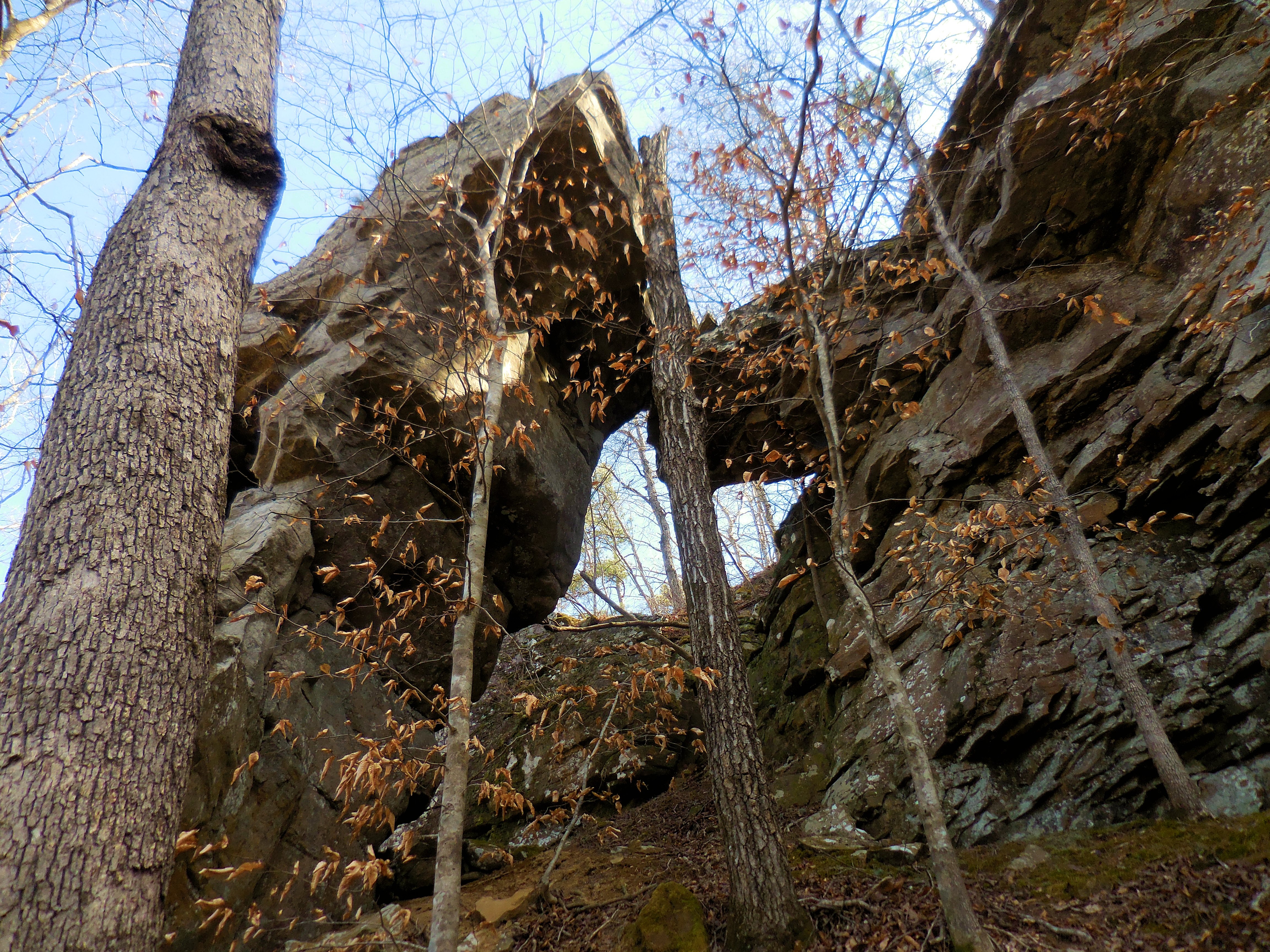 "L" Arch Rock 35.67902°, 93.25021° |
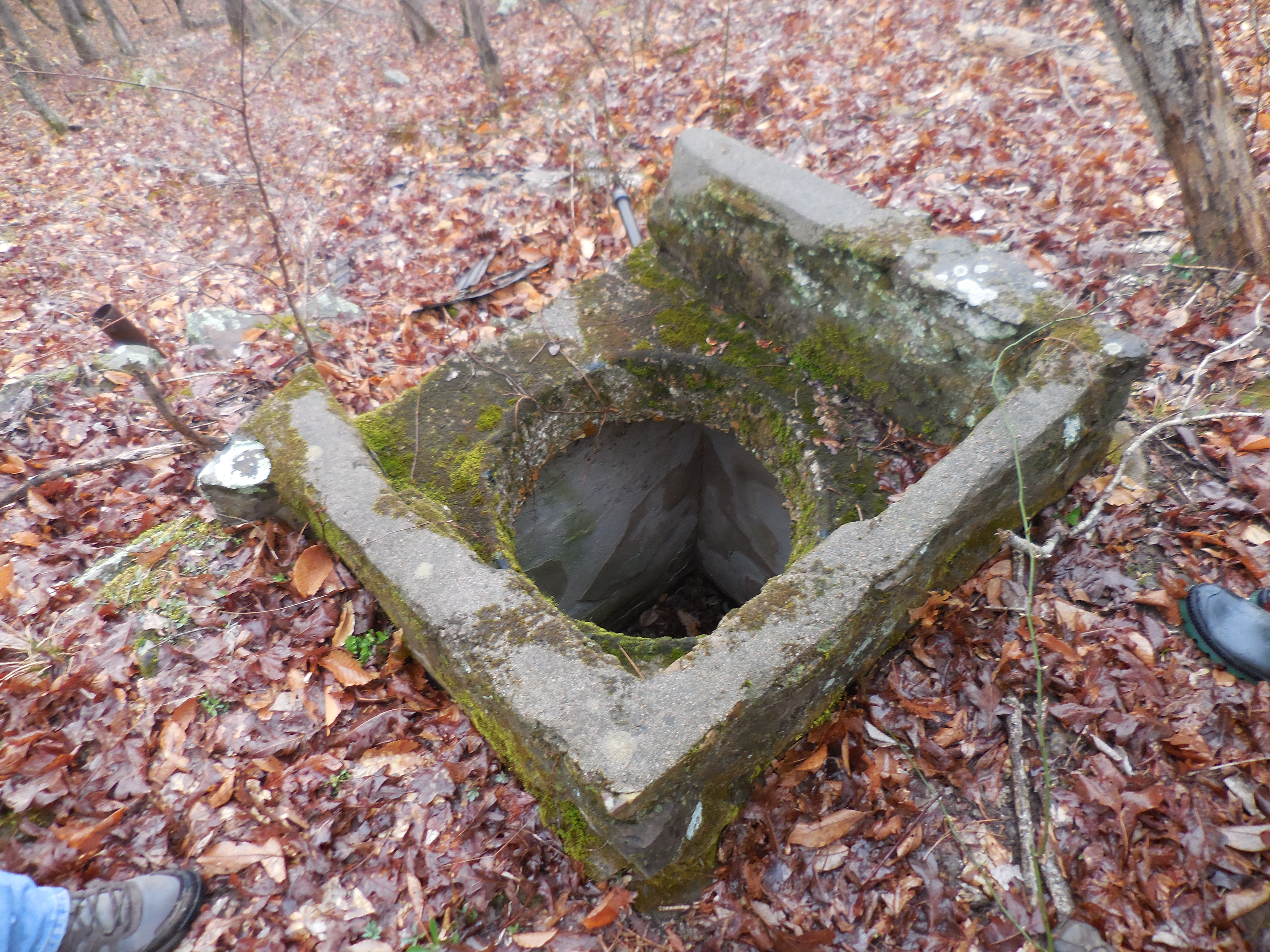 "J" Spring 35.67959°, 93.24663° |
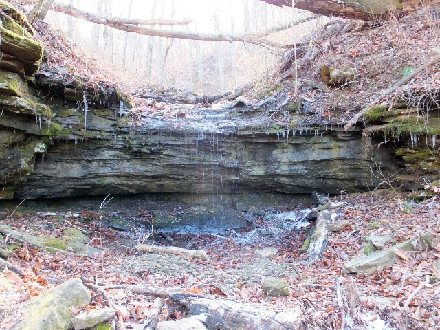 WF #4 35.67835°, 93.24613° |
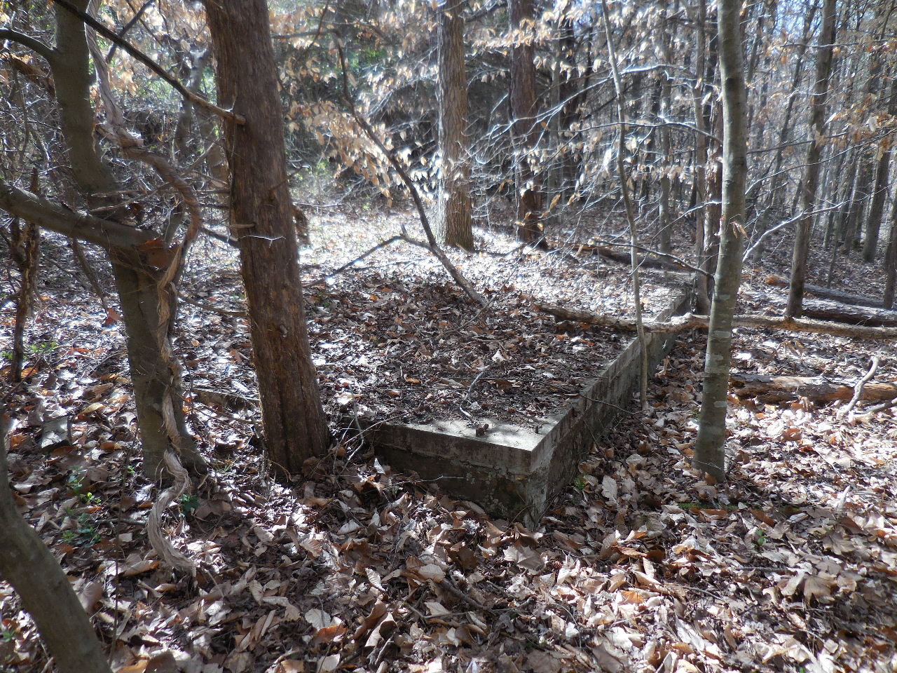
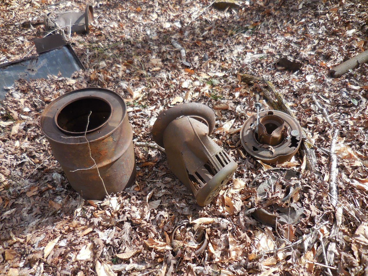
 Fort Douglas Cemetery |
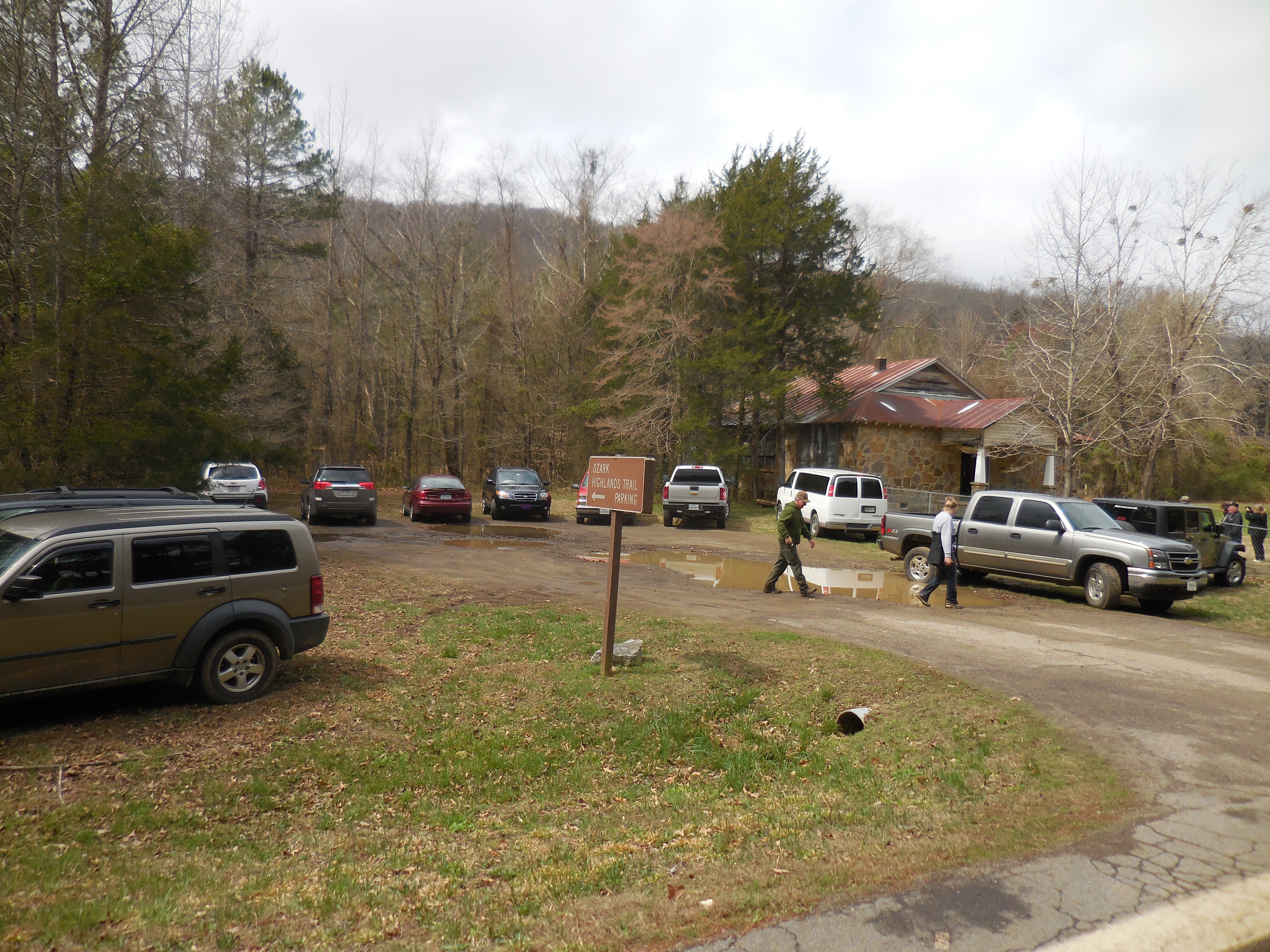 Parking Area "C" 35.67790°, 93.23812° |
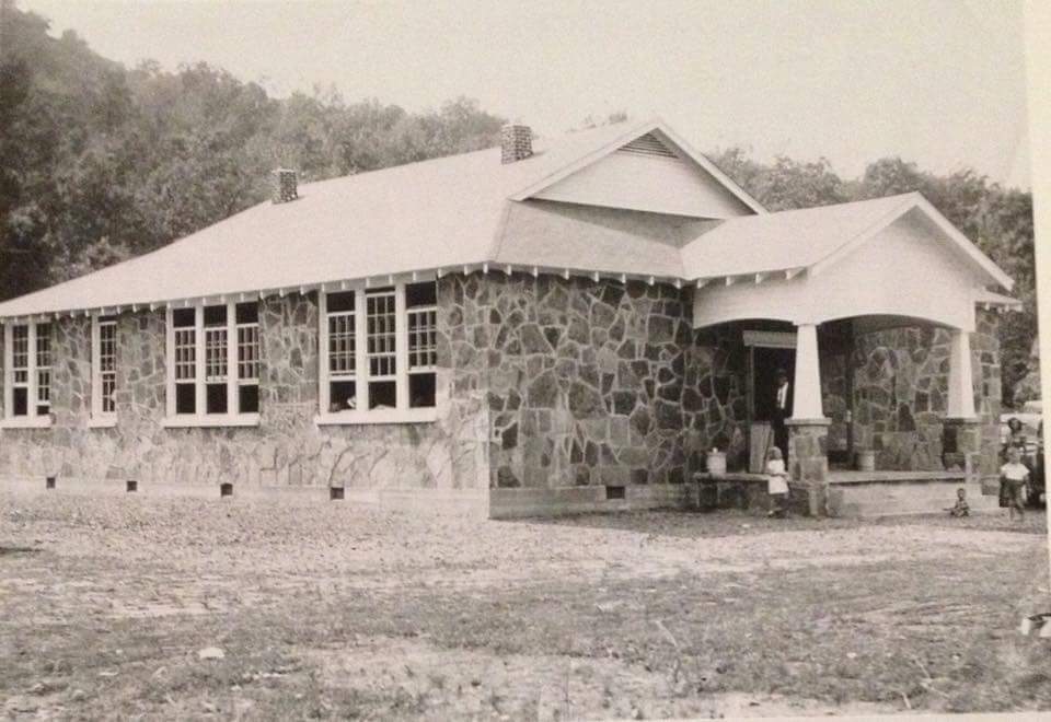 Old Fort Douglas School a. 1946 |
||
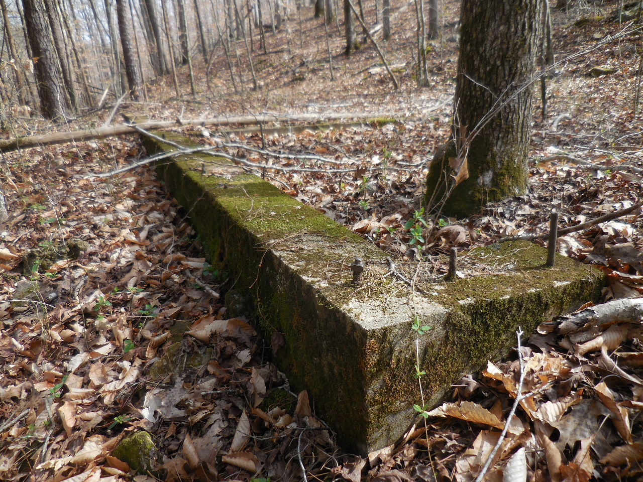 |
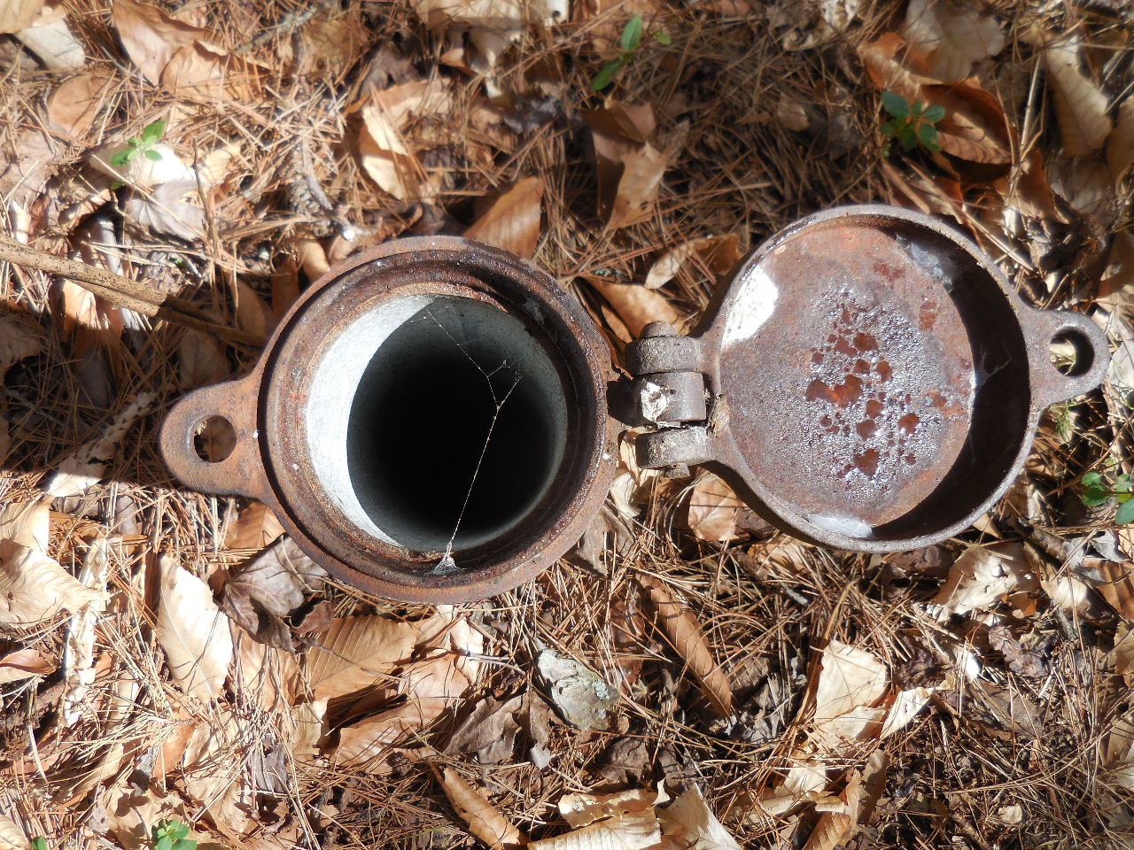
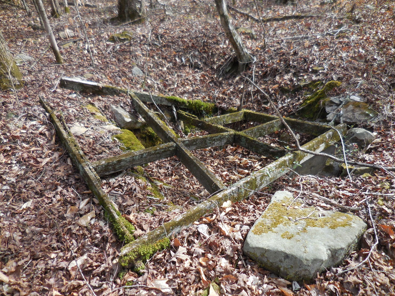 These pictures are of the old Forest Service Site located near Hwy. 123 |
 |
 |
 |
 |