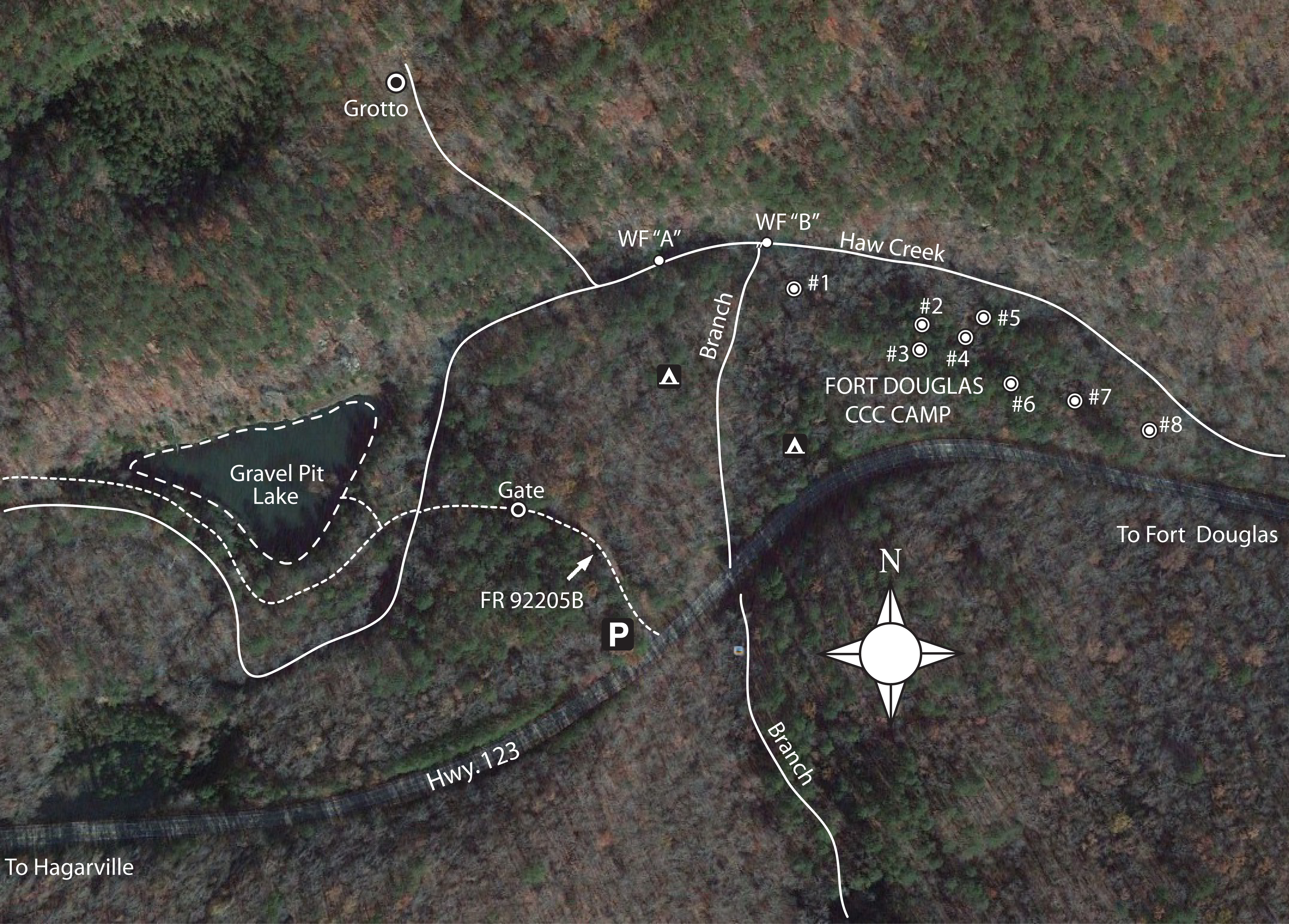
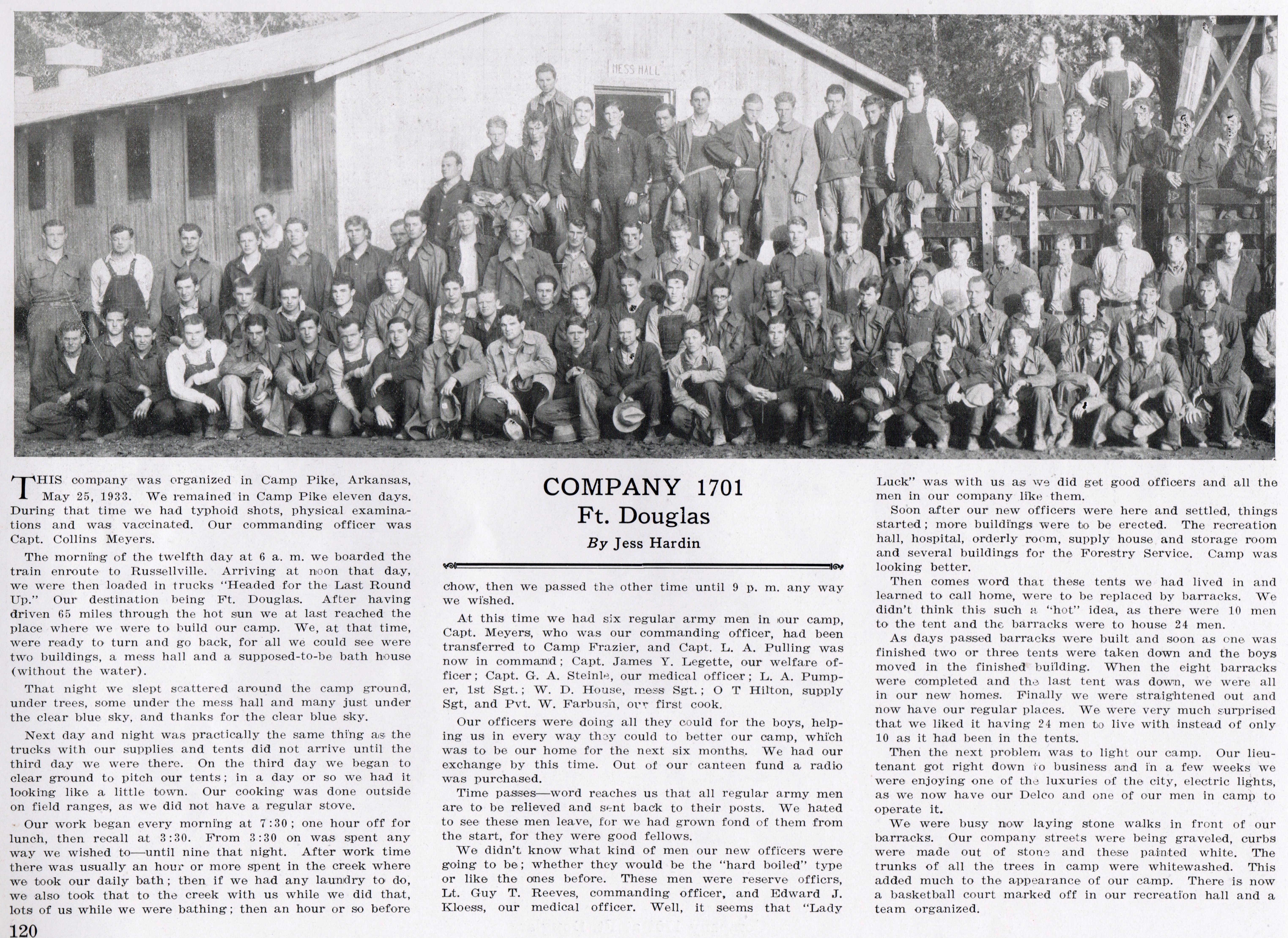
Fort Douglas CCC Camp
Project #F-12, Company 1701, Established 6/5/33
Much of the training in Fort Douglas centered around prevention and control of forest fires and protection of the habitat of wild life species.
.jpg)
| TAKAHIK River Valley Hikers |
| Home Scheduled Hikes Pictures Videos Membership Links Trails & Waterfalls Mushrooms Products In Memory Of Scholarships |
| FORT DOUGLAS CCC CAMP |
|
Fort Douglas CCC Camp Project #F-12, Company 1701, Established 6/5/33 Much of the training in Fort Douglas centered around prevention and control of forest fires and protection of the habitat of wild life species. |
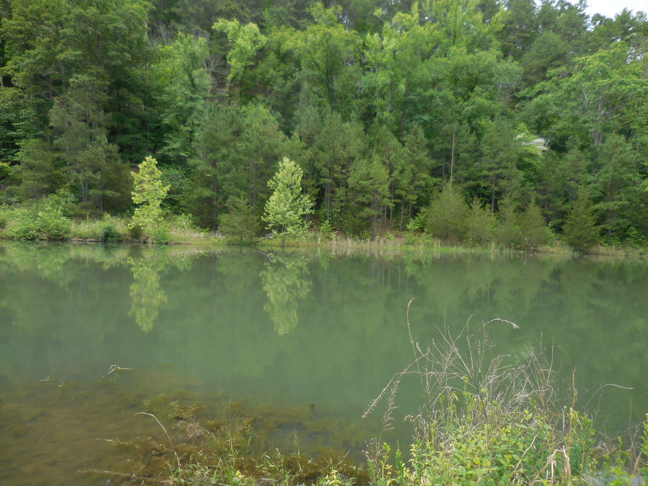
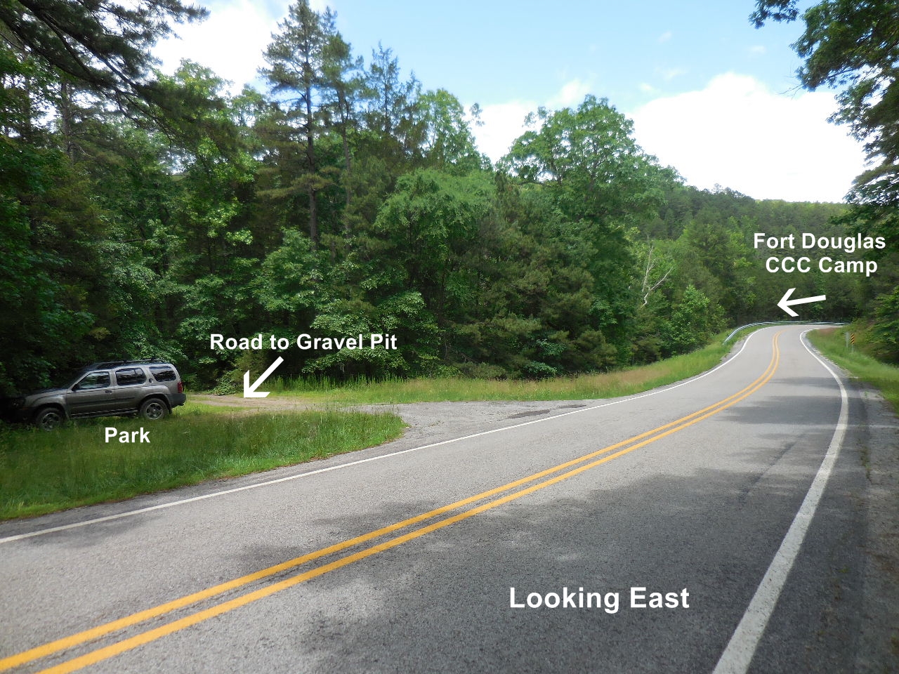 Parking Area 35.65427°, 93.28616° |
 Entrance at Guard Rail (Cross where ever you want) |
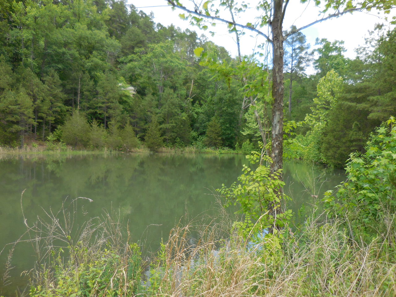
 Primitive Camping Site 35.65518°, 93.28521° |
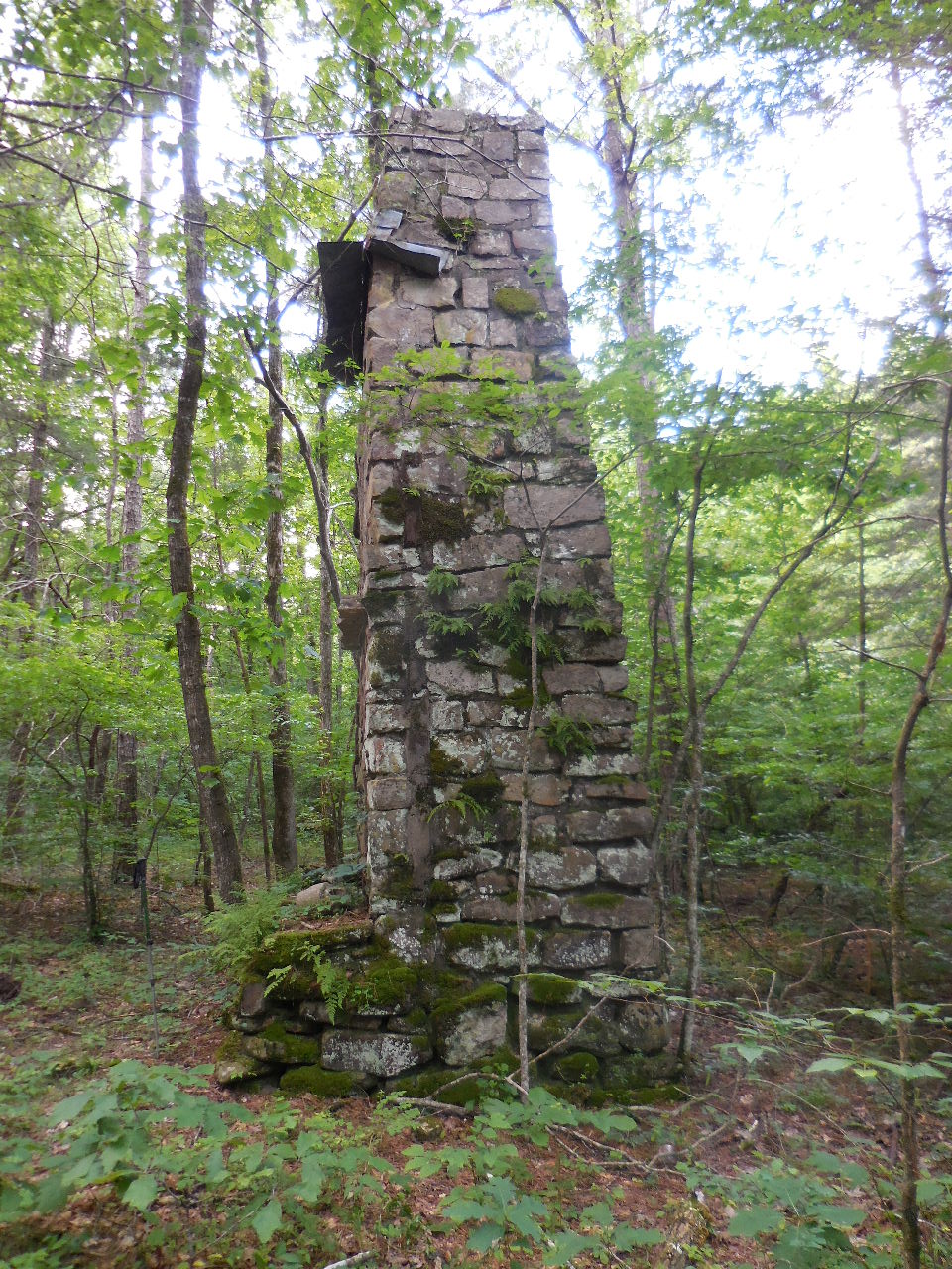
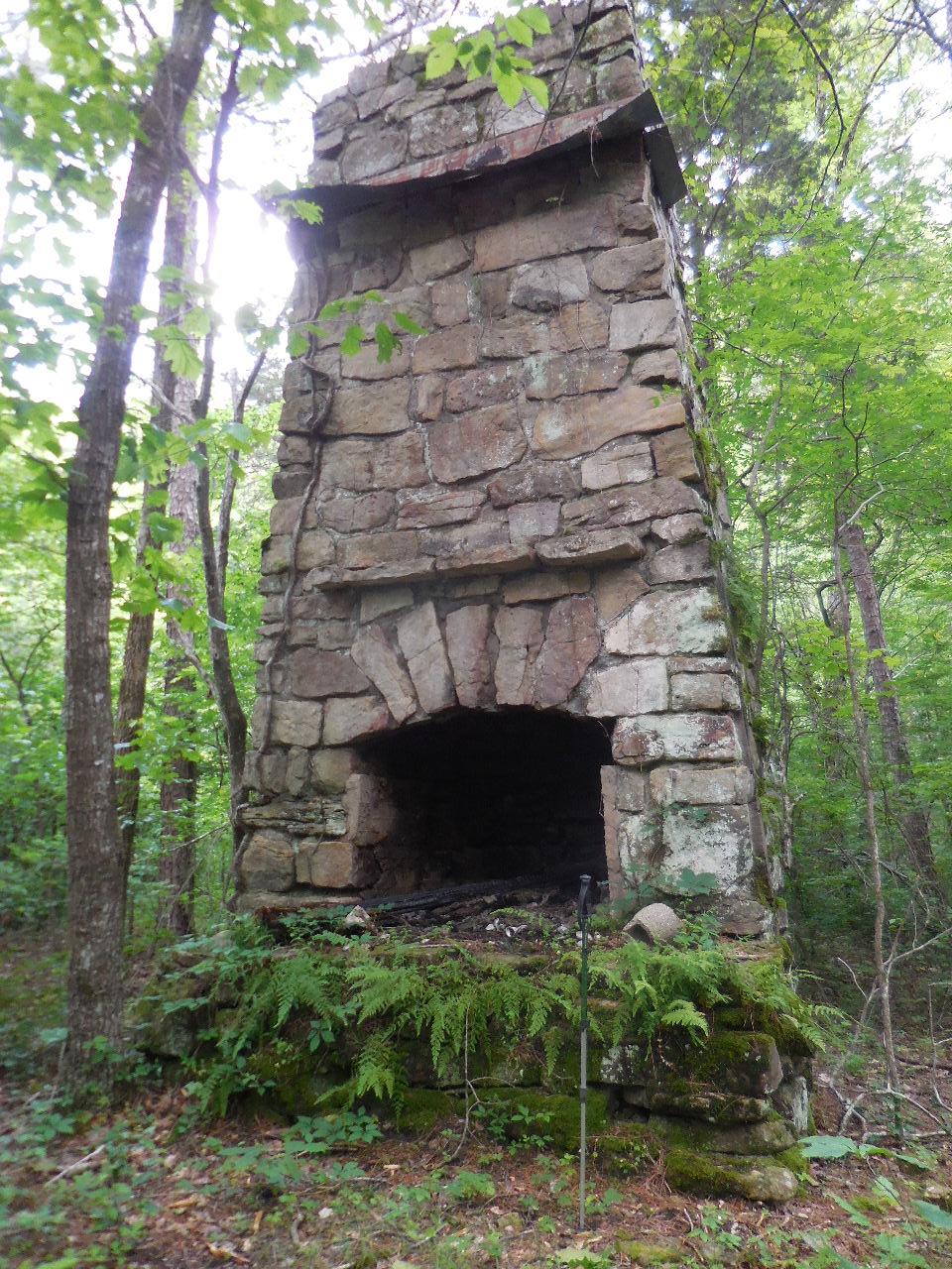 #4 Fireplace 35.65573°, 93.28447° |
 #4 Side View |
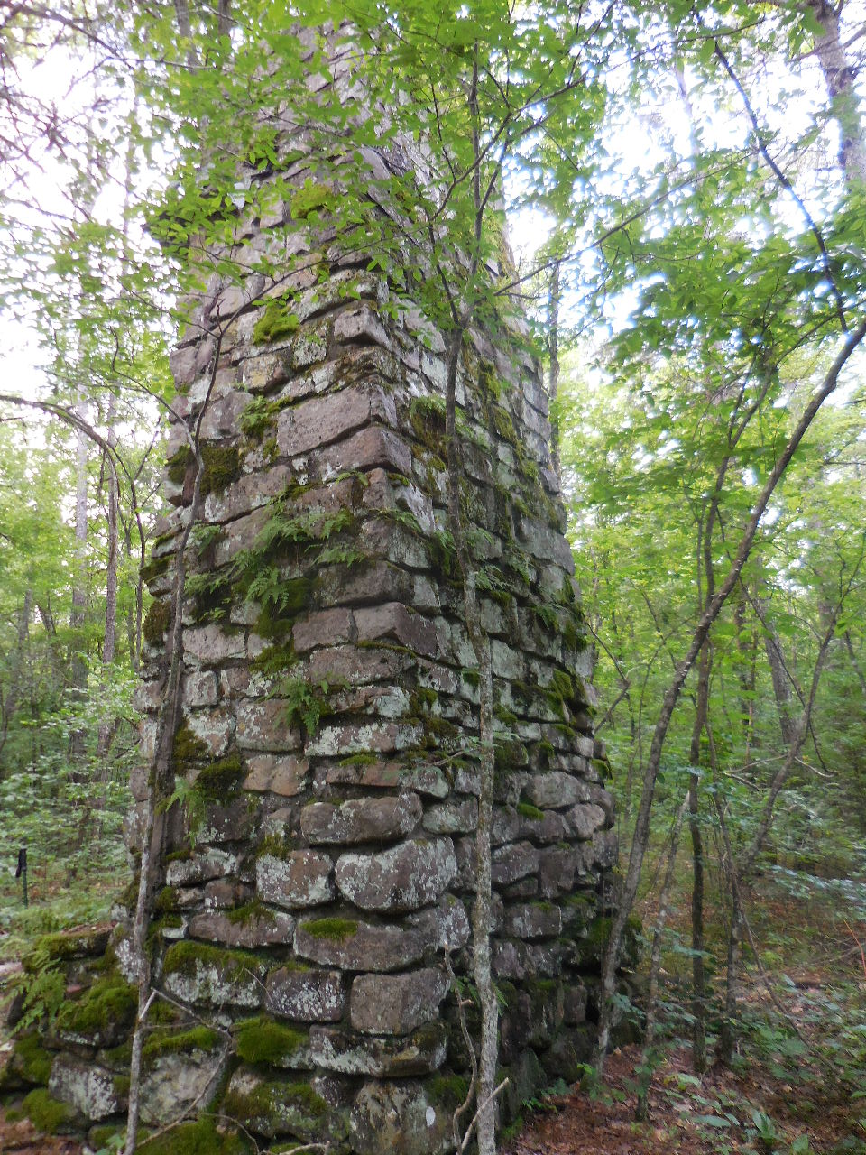 #4 Back View |
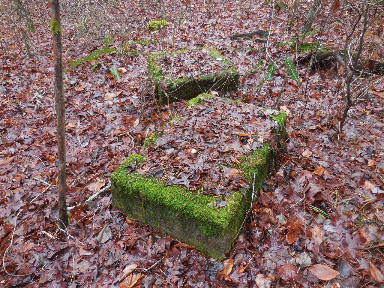
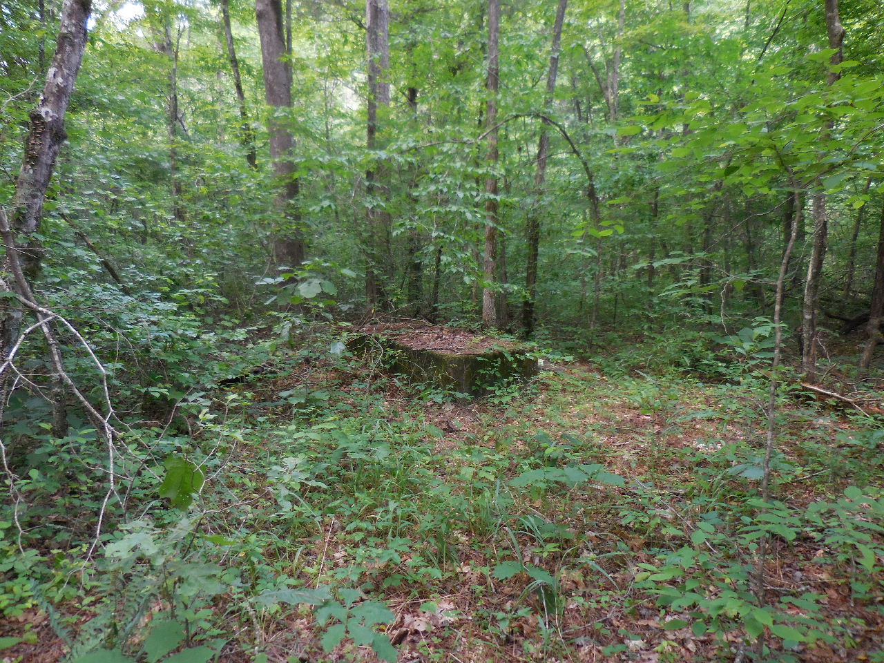 #2 Conc. Block |
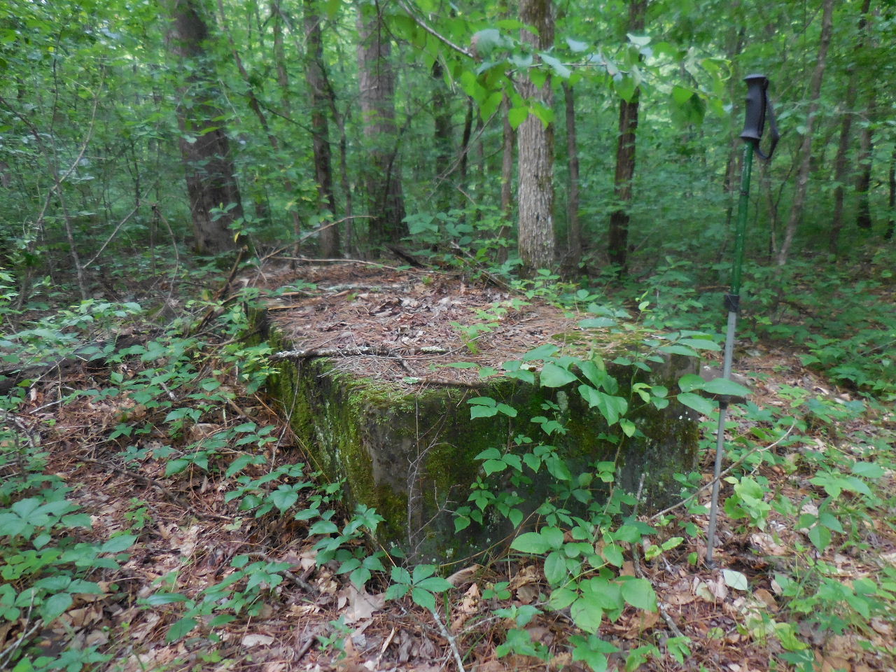 #2 Conc. Block (3'x8') 35.65576°, 93.28466° |
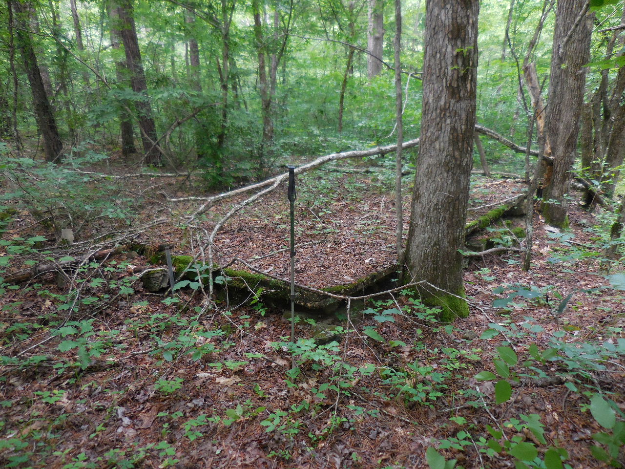 #3 Conc. Slab (16'x19') 35.65568°, 93.28473° |
 #3 Conc. Slab (On rock foundation) |
 #3 Conc. Slab (in background) Rock Foundation attached on east side. (15'x25') |
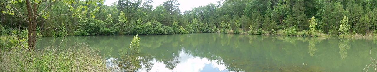
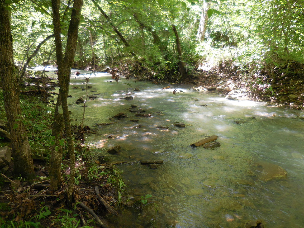 Haw Creek east of #4 Fireplace |
 #5 Two Conc. Blocks 35.65580°, 93.28440° |
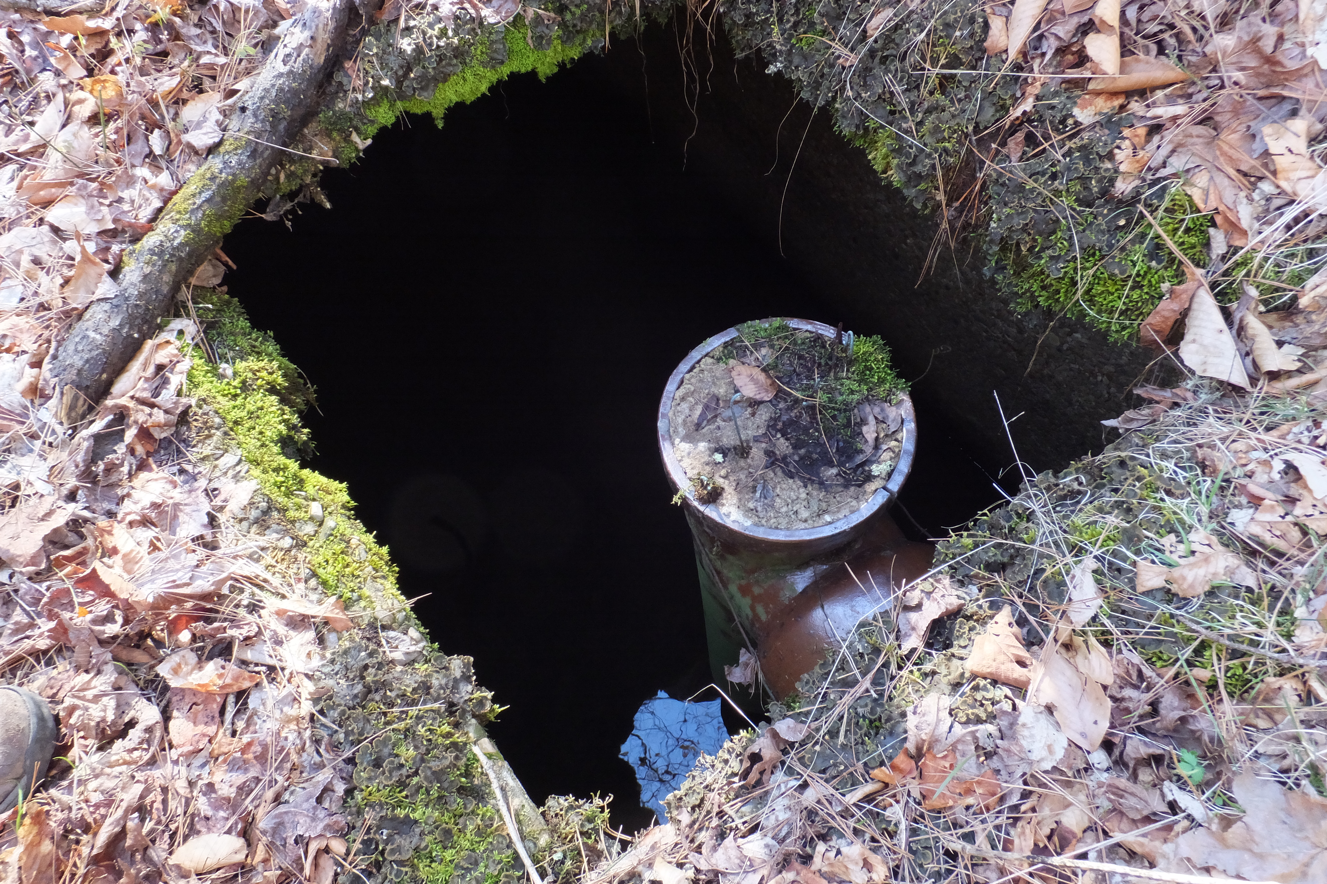
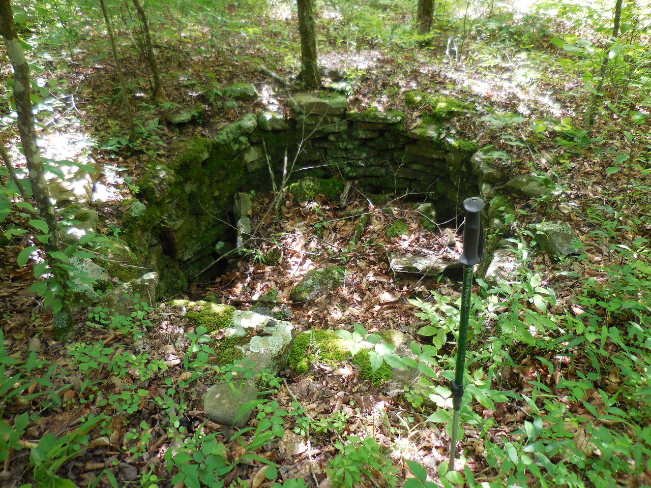 #1 Rock Lined Well 35.65595°, 93.28519° |
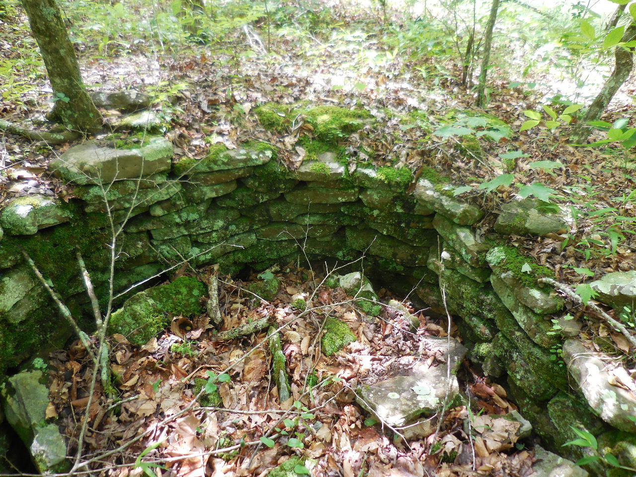 #1 Rock Lined Well |
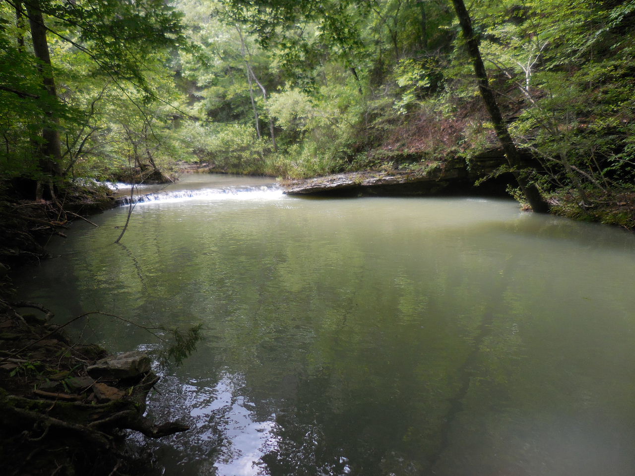 WF "B" Waterfall and pool where branch intersects Haw Creek 35.65609°, 93.28543° |
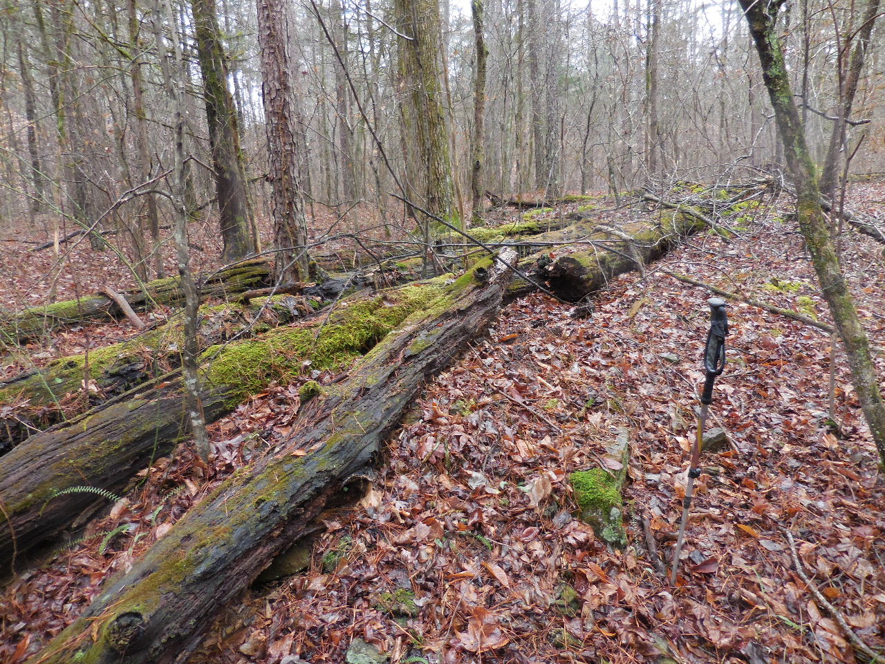 #6 15'x30' Rock Foundation (under these logs) 35.65555°, 93.28395° |
 Rock Piles (6 along branch) 35.65522°, 93.28554° |
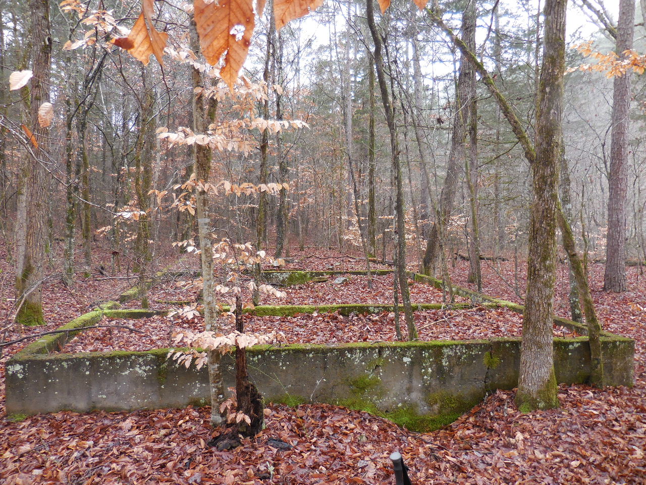 #7 69' x 20' Bldg. 35.65542°, 93.28351° |
 #8 Septic System 35.65529°, 93.28320° |
.JPG) WF "A" 35.65615°, 93.28604° |
 Grotto 35.65657°, 93.28735° |
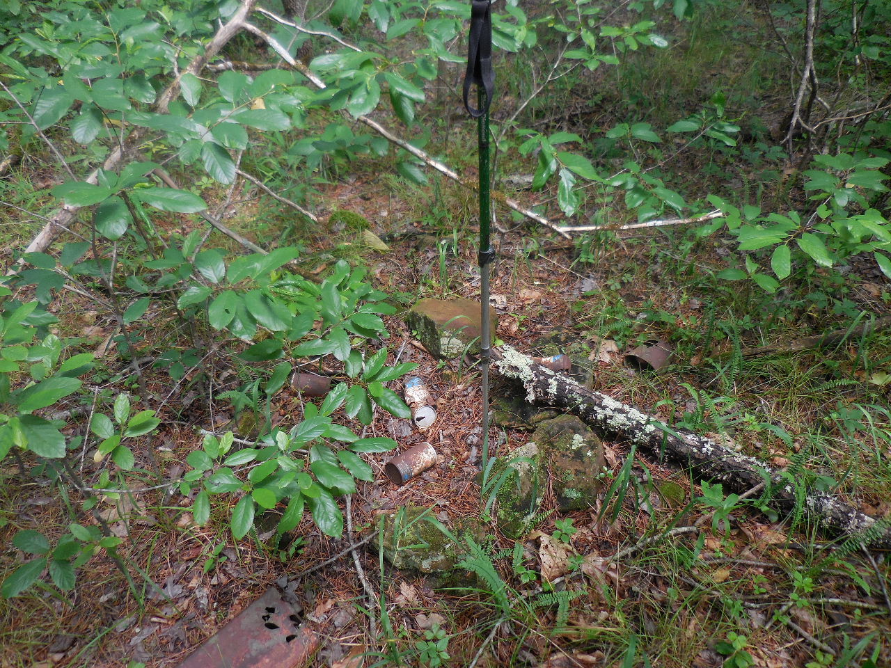
 Pet Milk Tin Can |
.jpg) 1936 Johnson County Map |
|
The following pictures are from: Arkansas Civilian Conservation Corps Pictorial Review 1933-1934 Parke-Harper Company, Little Rock, AR  |
||
 |
||
 |
||
 |
||
| Click on the above picture and read a story of Fr. Douglas Camp. | ||
| Gravel Pit | ||
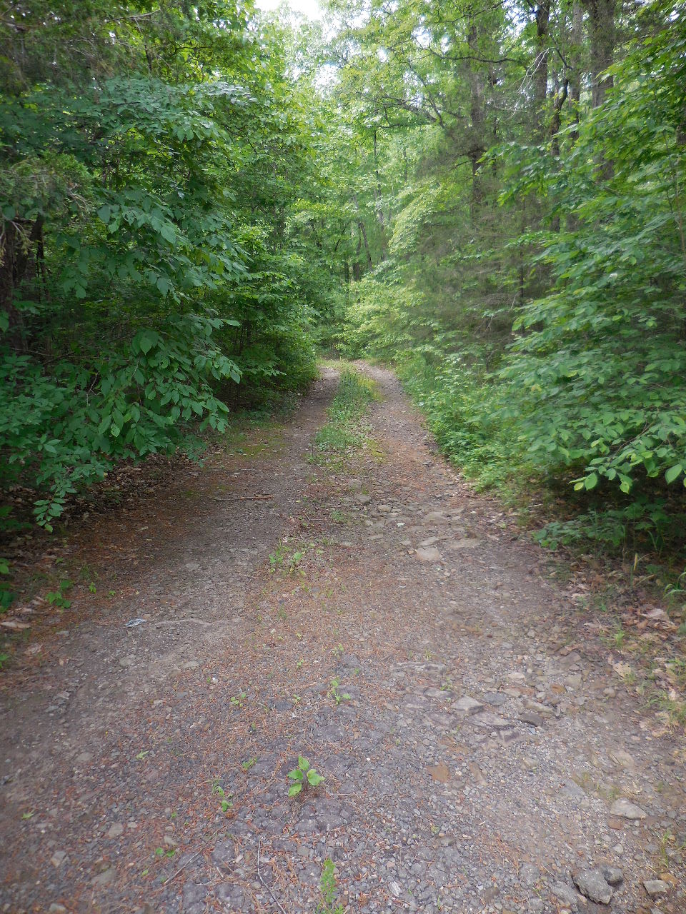 Road to Gravel Pit (At Parking Area) |
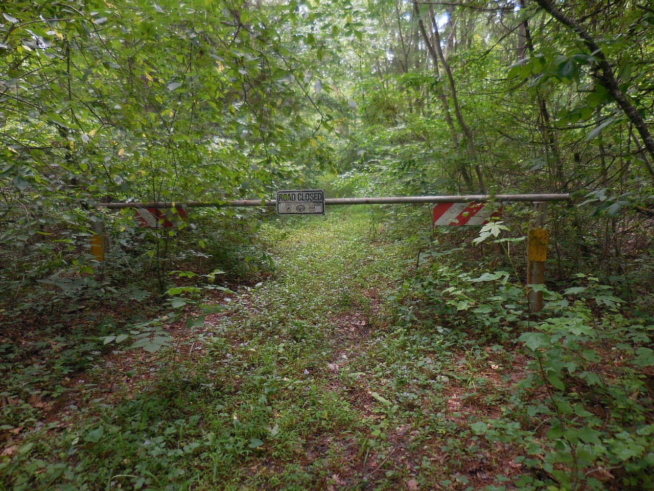 Gate 35.65481°, 93.28688° |
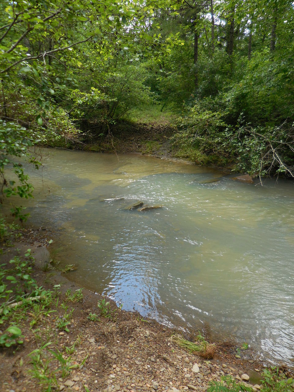 Where road crosses Haw Creek 35.65475°, 93.28762° |
 |
 |
 |
 |
 |
 |
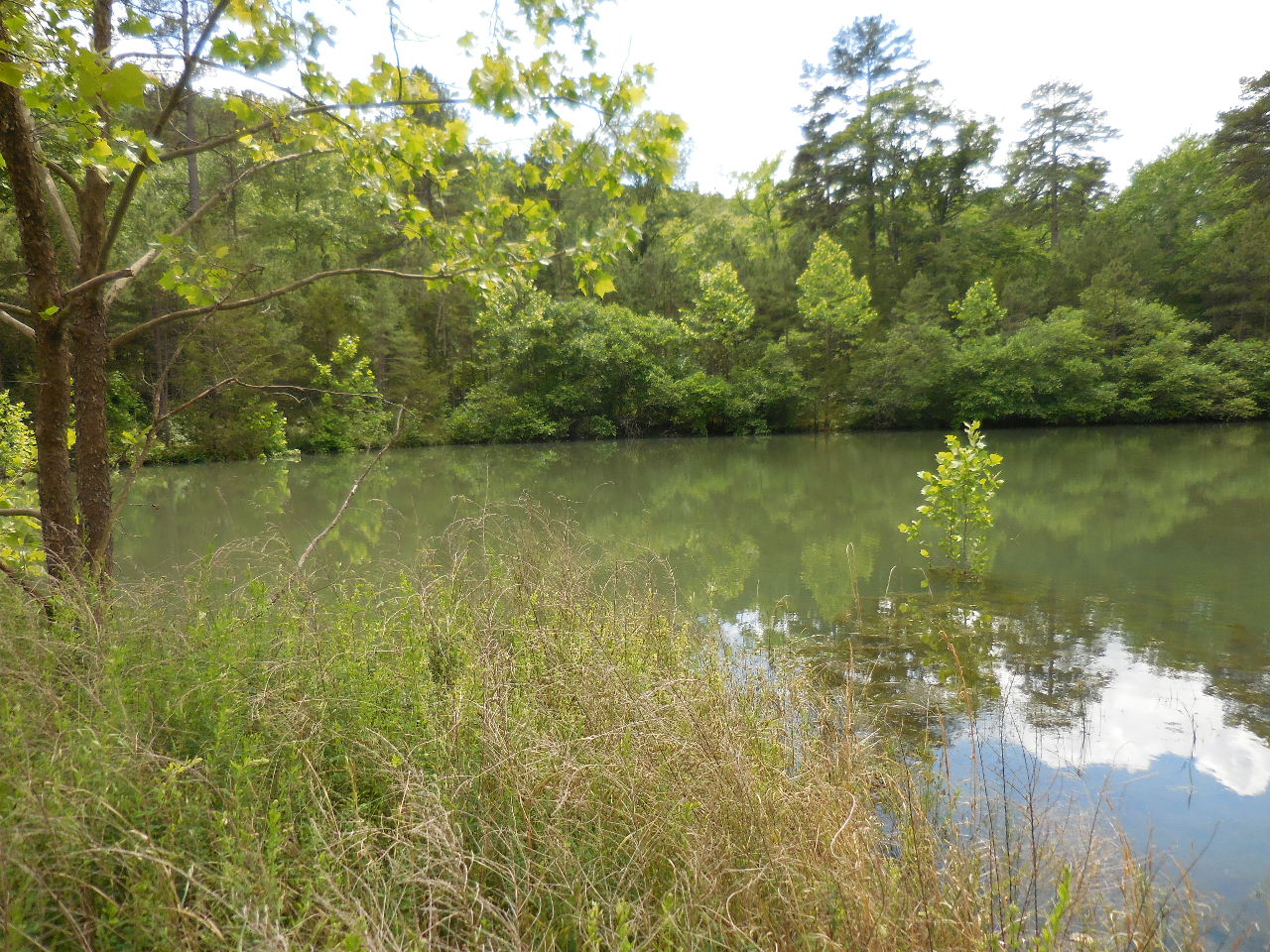
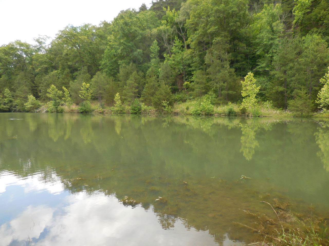
| Gravel Pit 35.65495°, 93.28806° |
 |