.jpg)
| TAKAHIK River Valley Hikers |
| Home Scheduled Hikes Pictures Videos Membership Links Trails & Waterfalls Products In Memory Of Scholarships |
| MARINONI SCENIC AREA |
 7.3 miles from Hwy. 23 |
 Parking Area #1 35.68358°, 93.71038° |
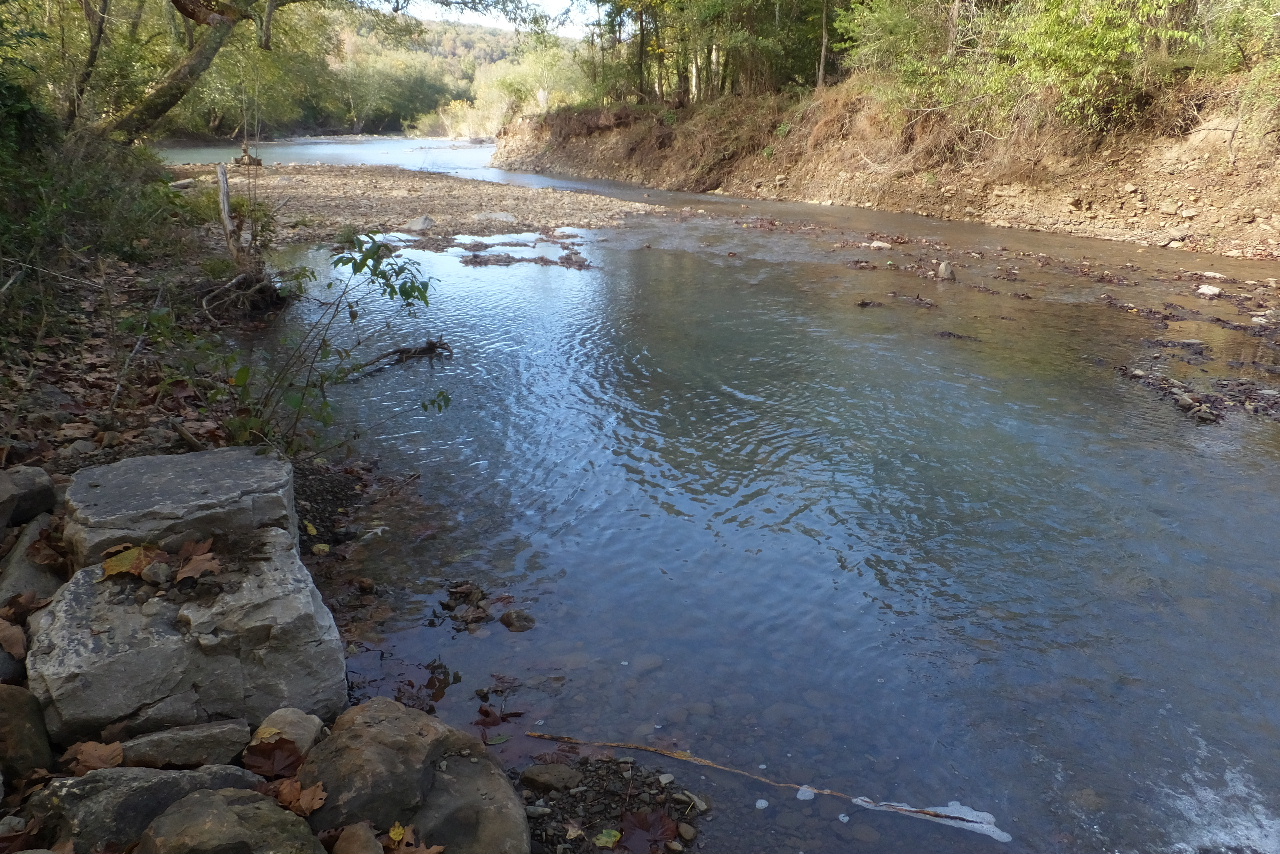
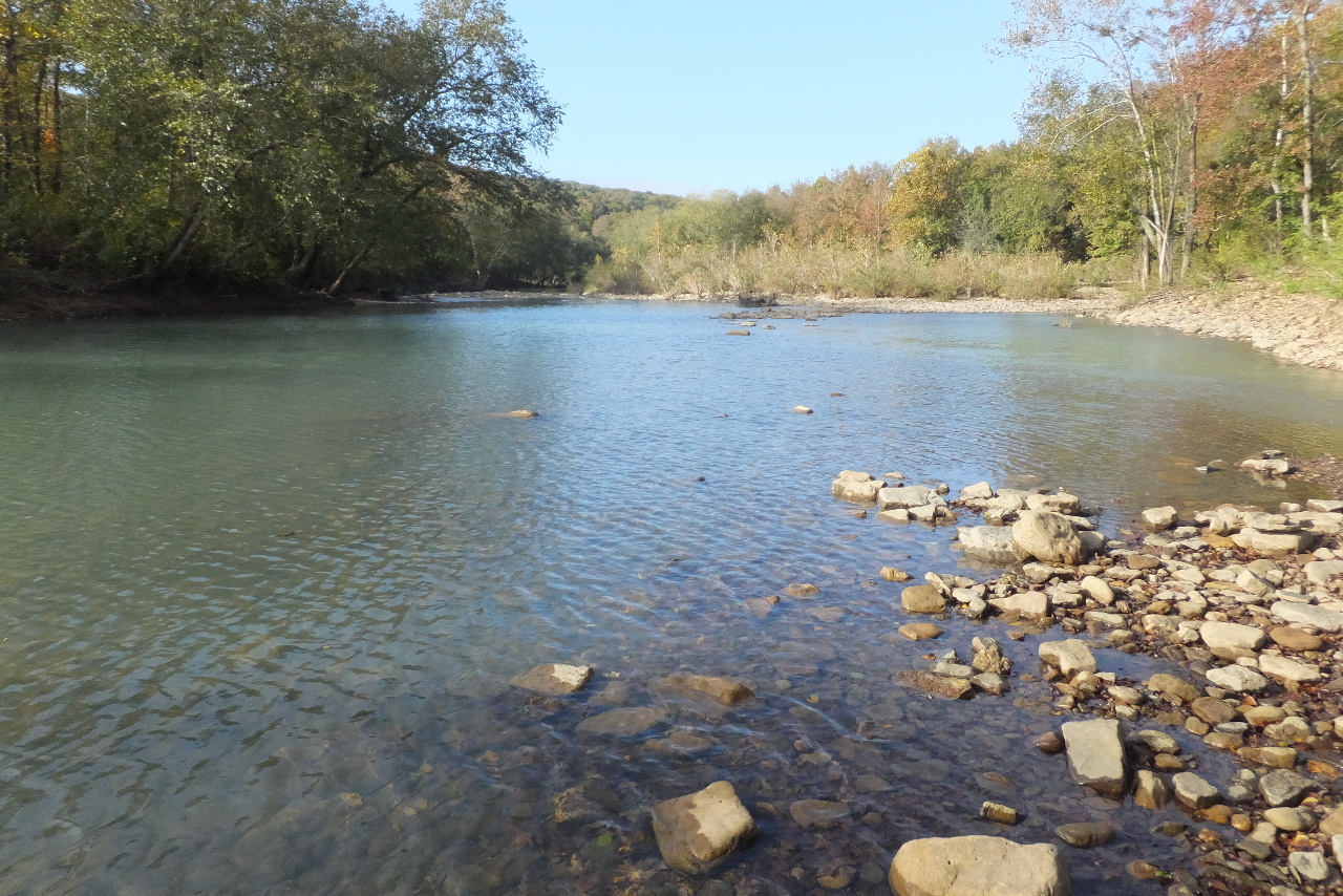
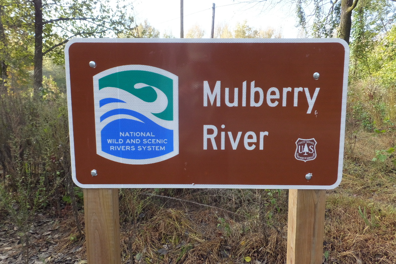 Mulberry River at Launch Site |
 |
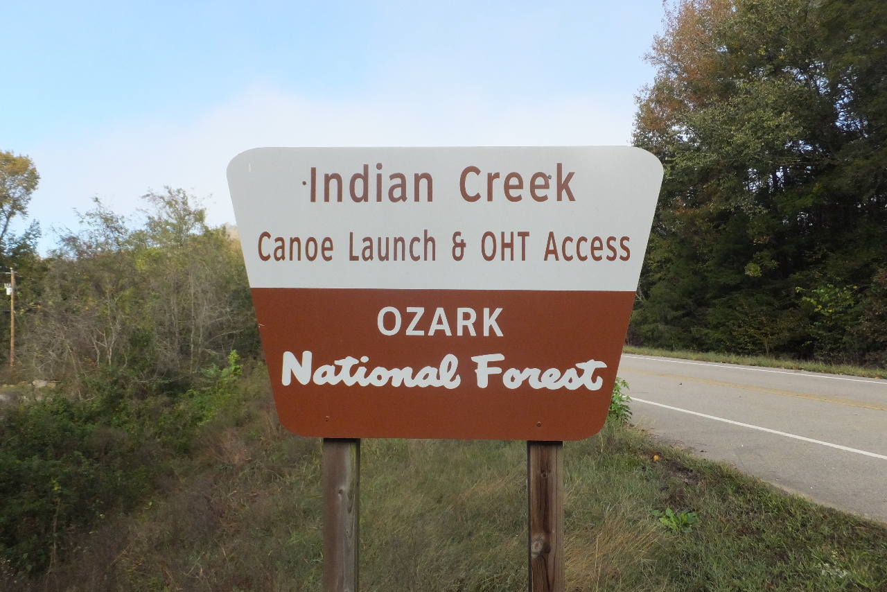
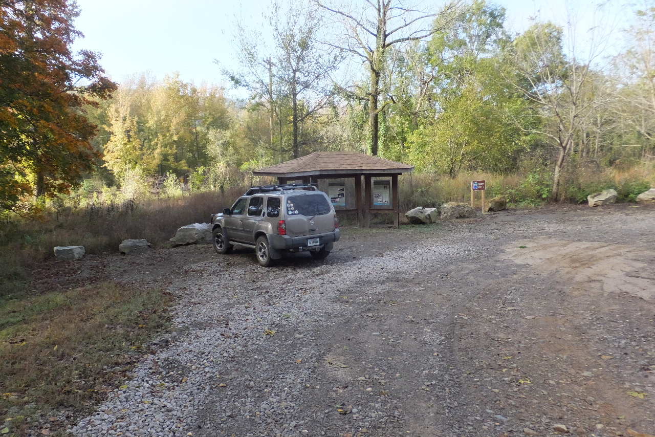
 Entrance to Canoe Launch Site 35.68381°, 93.71103° |
 Entrance |
 Heading down to Indian Creek |
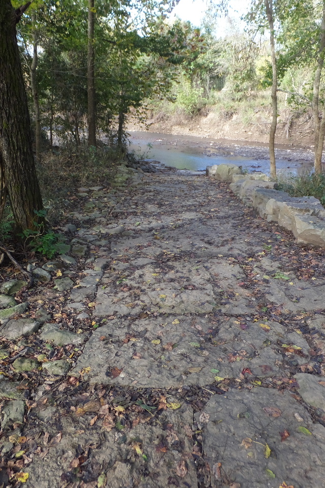 Indian Creek approach... |
 Indian Creek with the Mulberry River in sight |
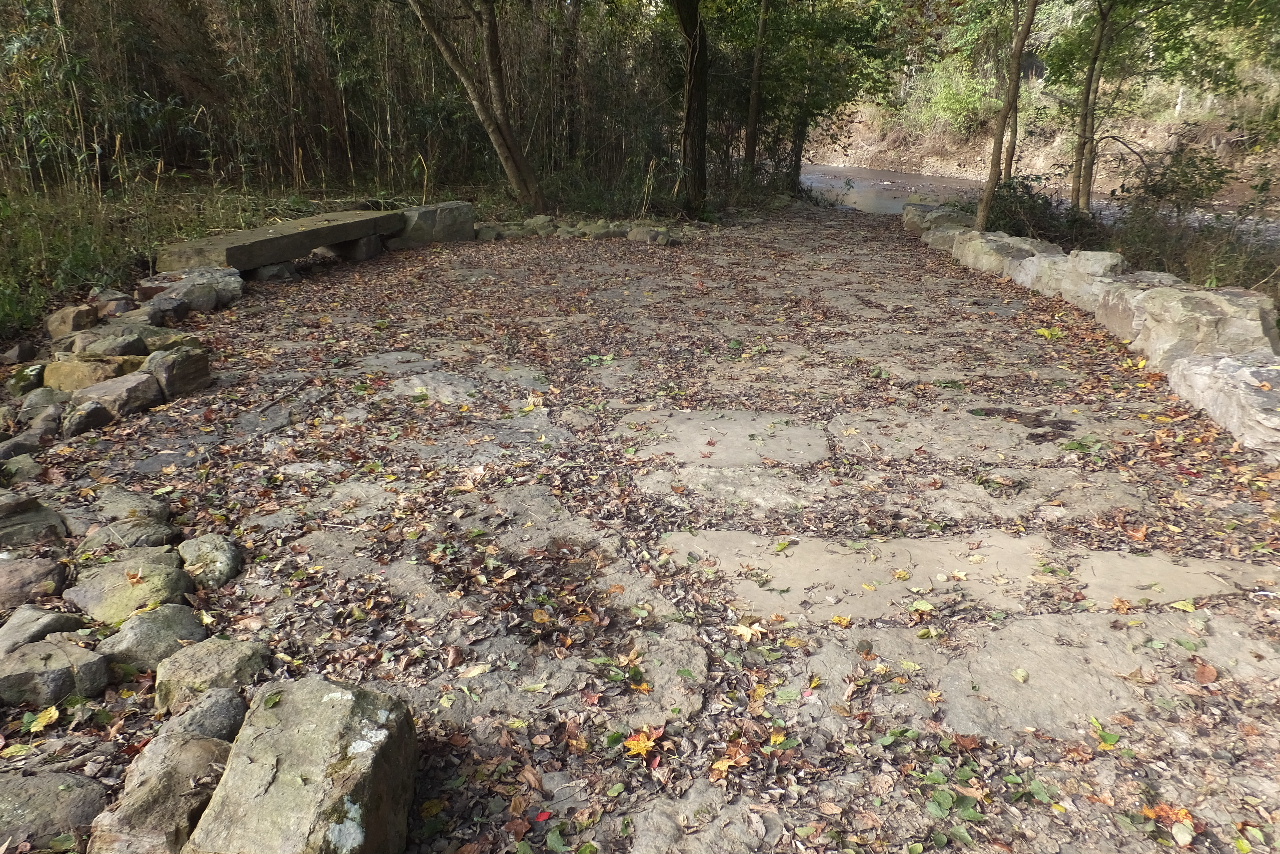
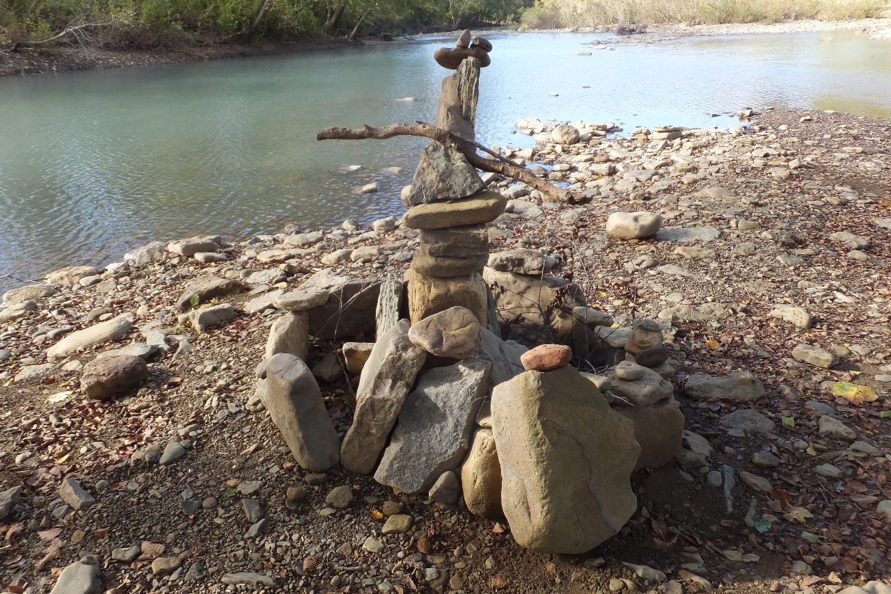 Stacked Rocks at Mulberry River |
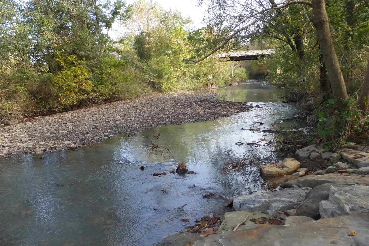 Looking back at bridge over Hwy. 215 on Indian Creek |
 Mulberry River (Low) |
.jpg) Dawna Robinson Indian Creek Spur Trail |
||
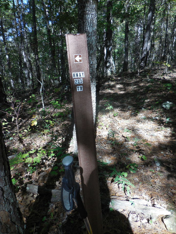
 Entrance to Indian Creek Spur on north side of Hwy. 215 35.68406°, 93.71026° |
 Turn left at Hwy. entrance and follow fence line west |
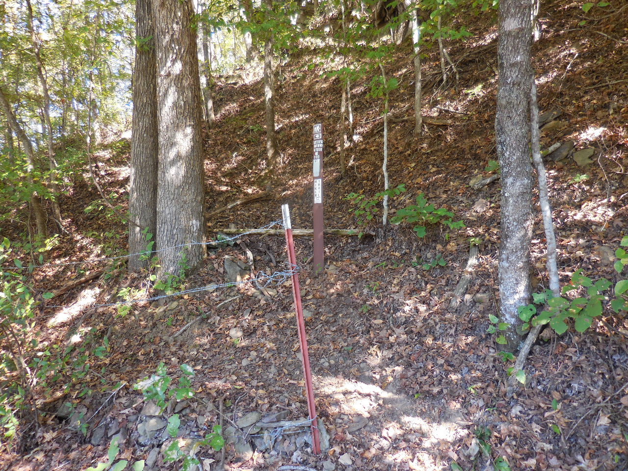
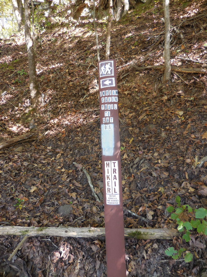
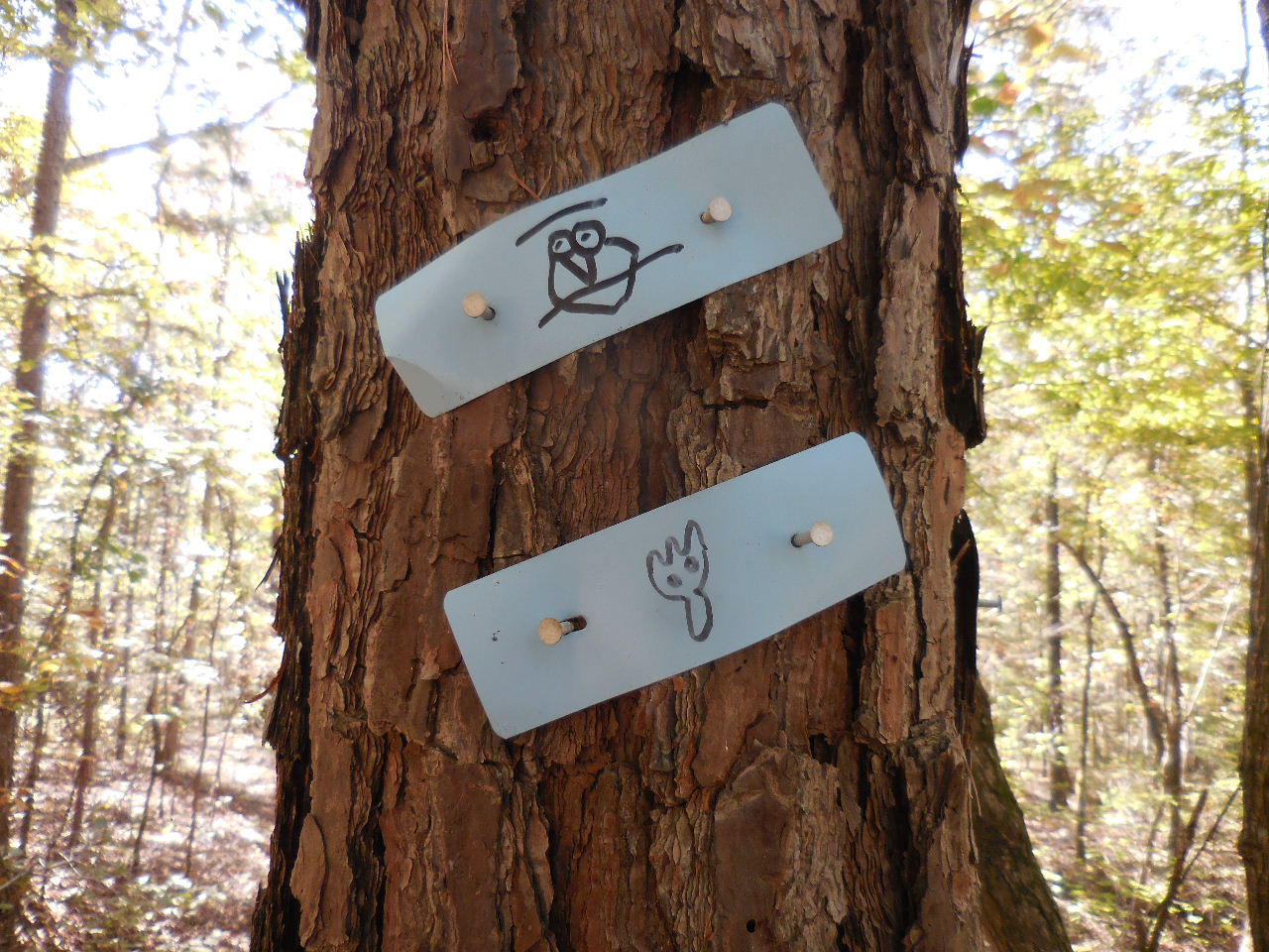
 Sign on tree just before Robinson Marker |
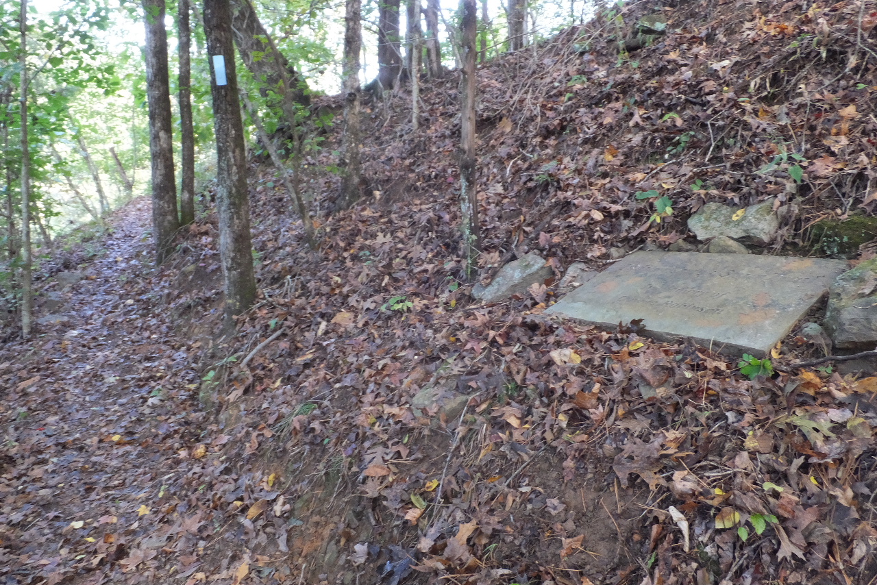 Robinson Marker on hillside |
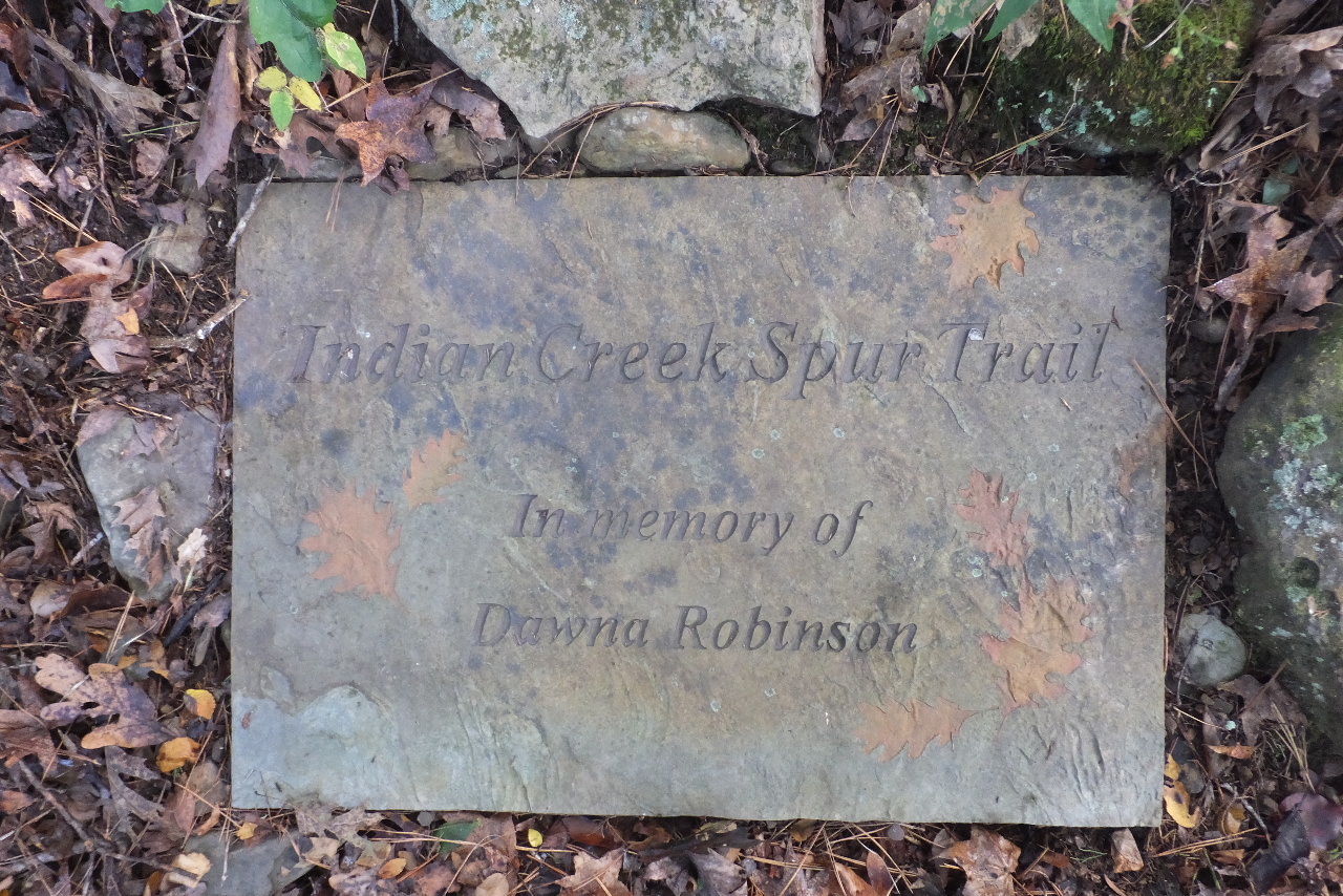 Dawna Robinson Memorial Marker 35.68433°, 93.71063° |
 Steps just ahead 35.68523°, 93.71000° |
 Spur Trail and FR 94450A 35.68644°, 93.70580° |
 Spur Trail and OHT 35.68717°, 93.70492° |
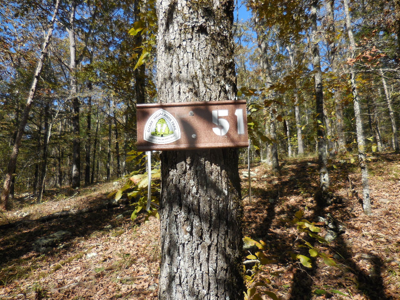 Mile Marker 51 35.68795°, 93.70210° |
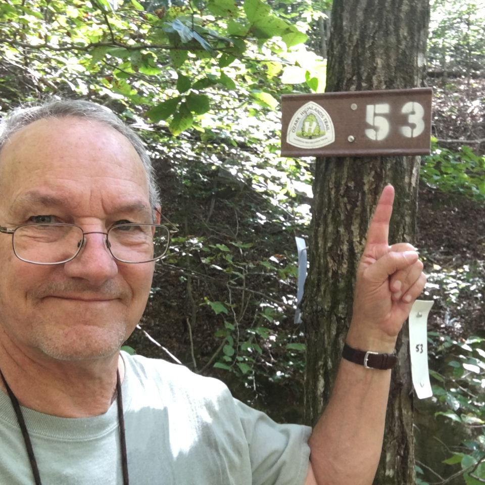
 Mile Marker 53 35.69795°, 93.69200° |
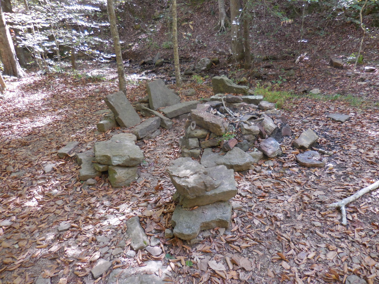 First Campsite 35.69694°, 93.68554° |
 Second Campsite 35.69675°, 93.68493° |
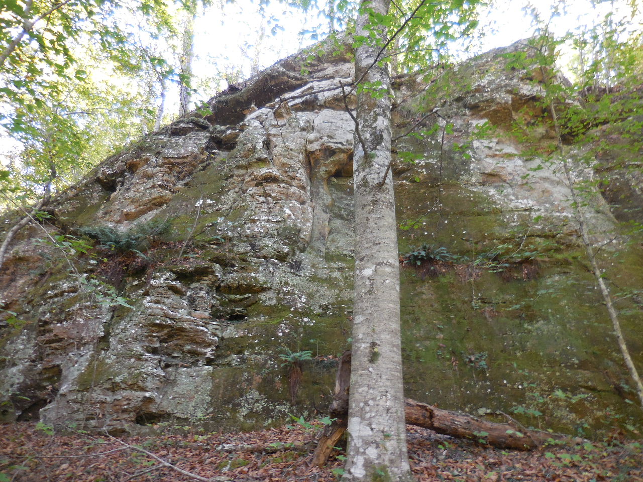 |
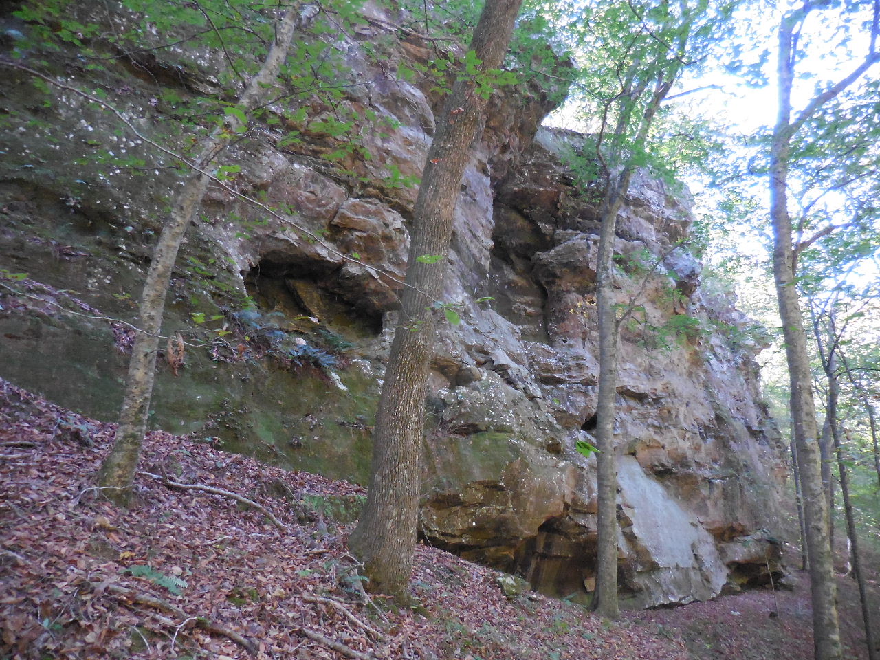
 Entering the Marinoni Scenic Area |
 |
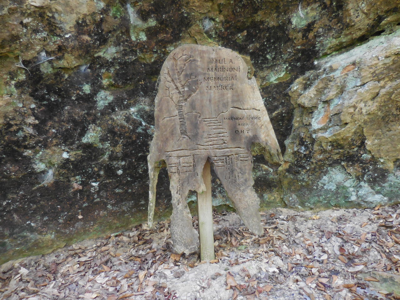 Paul A. Marinoni Memorial Marker 35.69732°, 93.67913° |
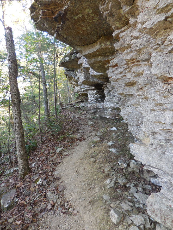
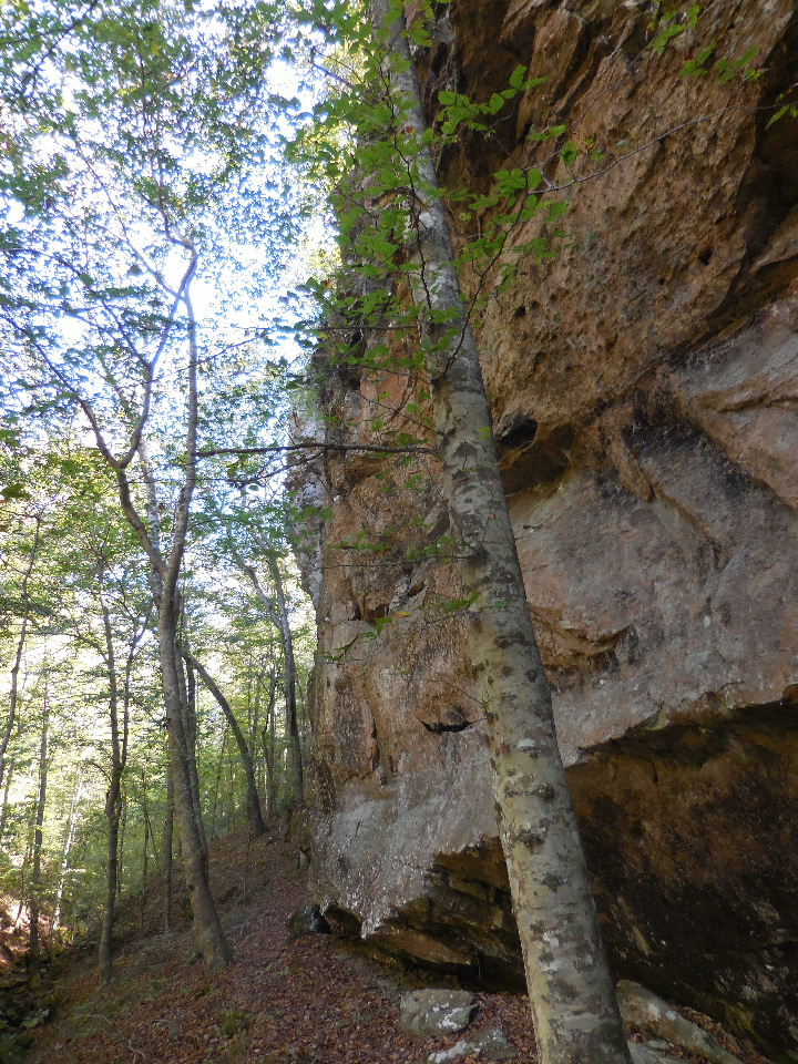
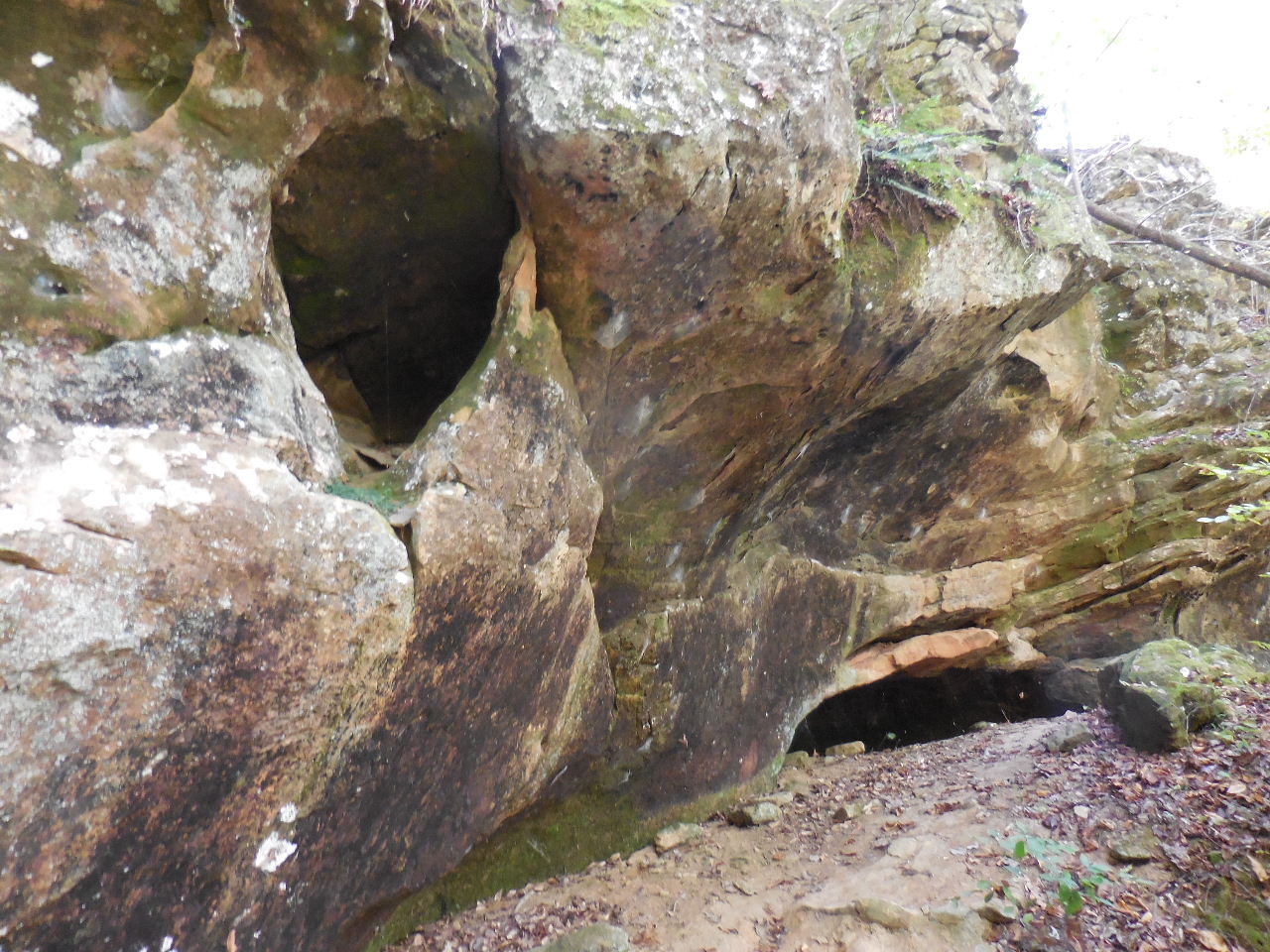
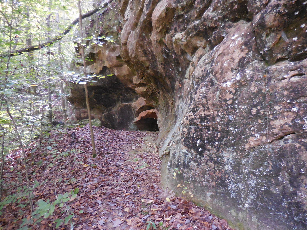 Small grotto just beyond sign.... |
 |
 Looking up at Natural Bridge |
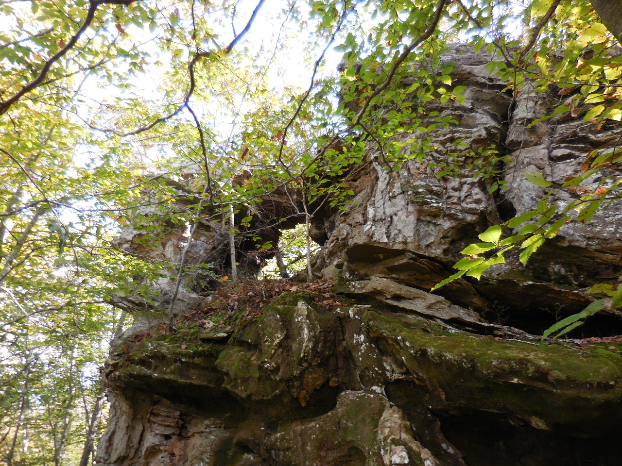 Natural Bridge 35.69748°, 93.67839° |
 Mile Marker 53 35.69816°, 93.67706° |
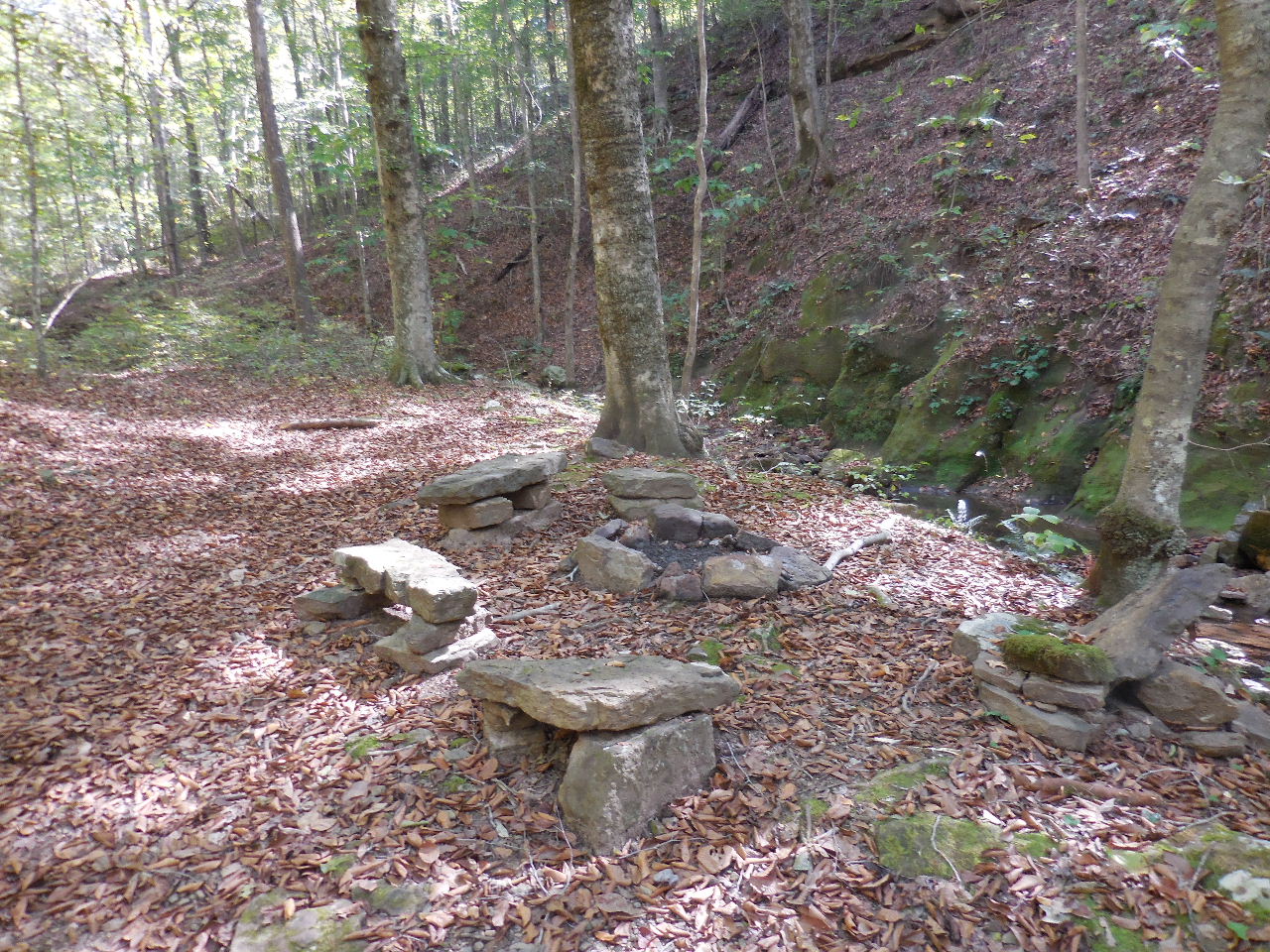
 Pond and Second Campsite on Jeep Road (1541) and intersection of FR 94451A 35.69734°, 93.67595° Intersection of OHT is 0.1 miles from here 35.69869°, 93.67512° |
 Parking Area #3 on FR 1541 35.68968°, 93.67842° 1.8 miles from Hwy. 215 |
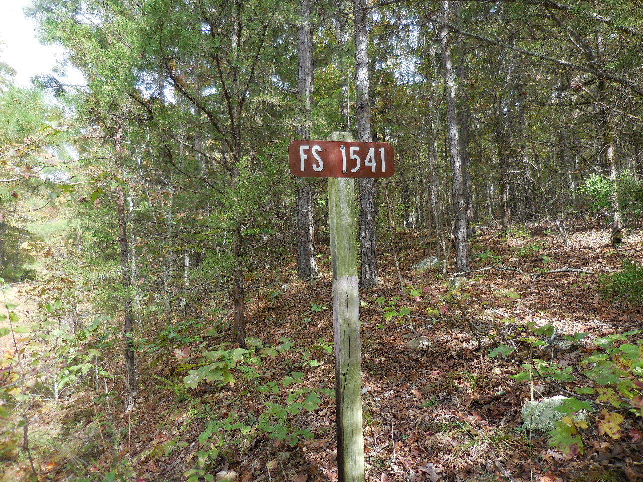 FR 1541 at Hwy. 215 9.4 miles from Hwy. 23 |