.jpg)
| TAKAHIK River Valley Hikers |
| Home Scheduled Hikes Pictures Videos Membership Links Trails & Waterfalls Products In Memory Of Scholarships |
| HIDEOUT HOLLOW/McFERRIN POINT |
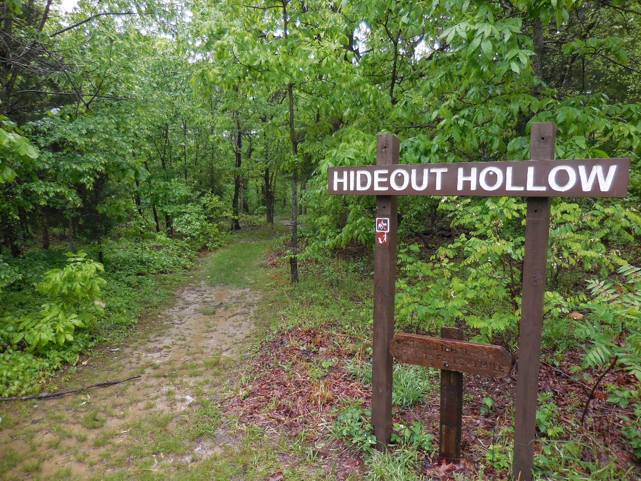 Trailhead & Parking Area "A" 36.07302°, 93.26499° |
.jpg) Detail Map |
 One of several creek crossings.... |
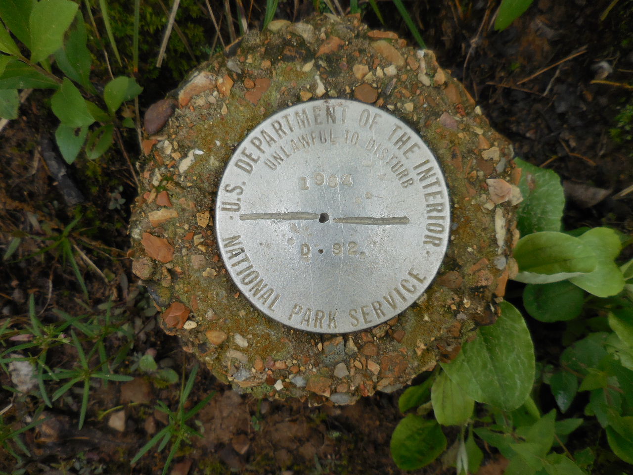 Park Boundary Monument 36.07881°, 93.26618° |
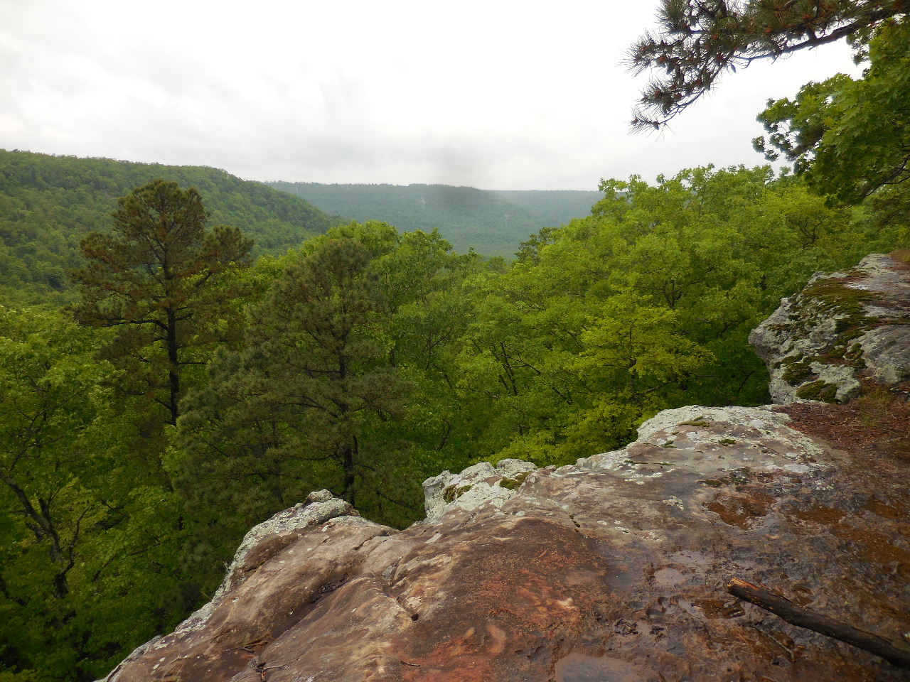 Vista 36.08220°, 93.26841° |
 Old Rocked Spring 36.08110°, 93.26860° |
 Cross here to get to balcony to access down below |
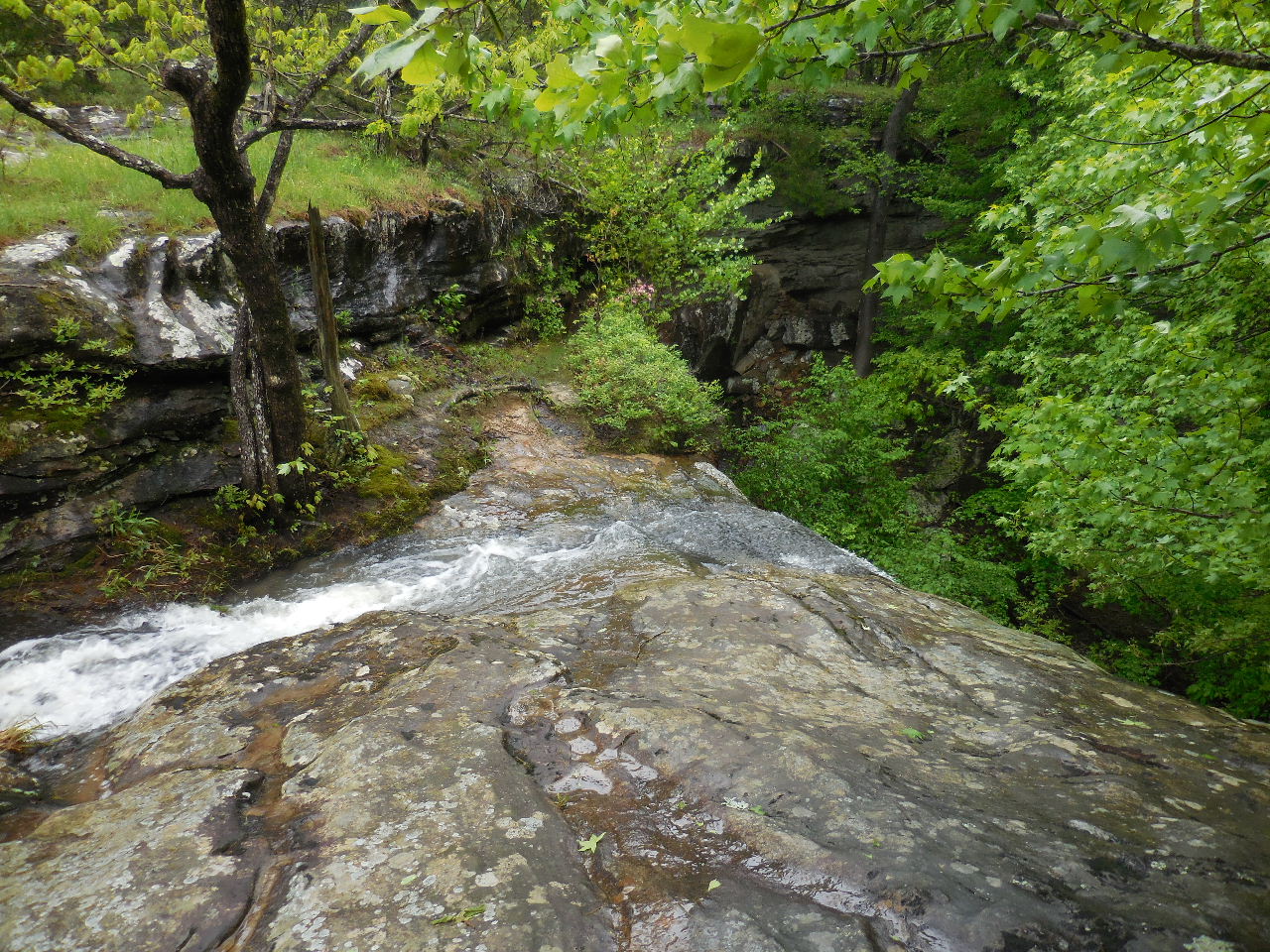
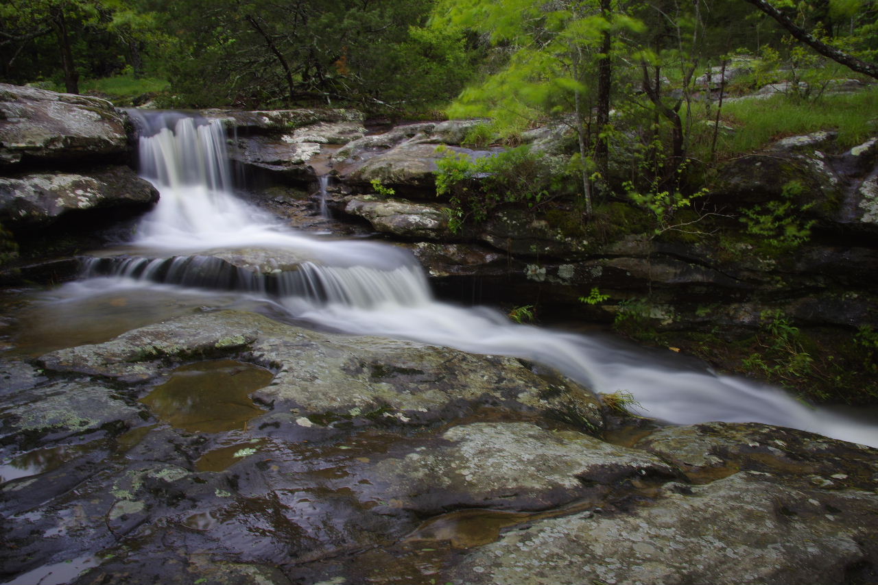 Waterfall above Hideout Hollow Falls |
 Balcony |
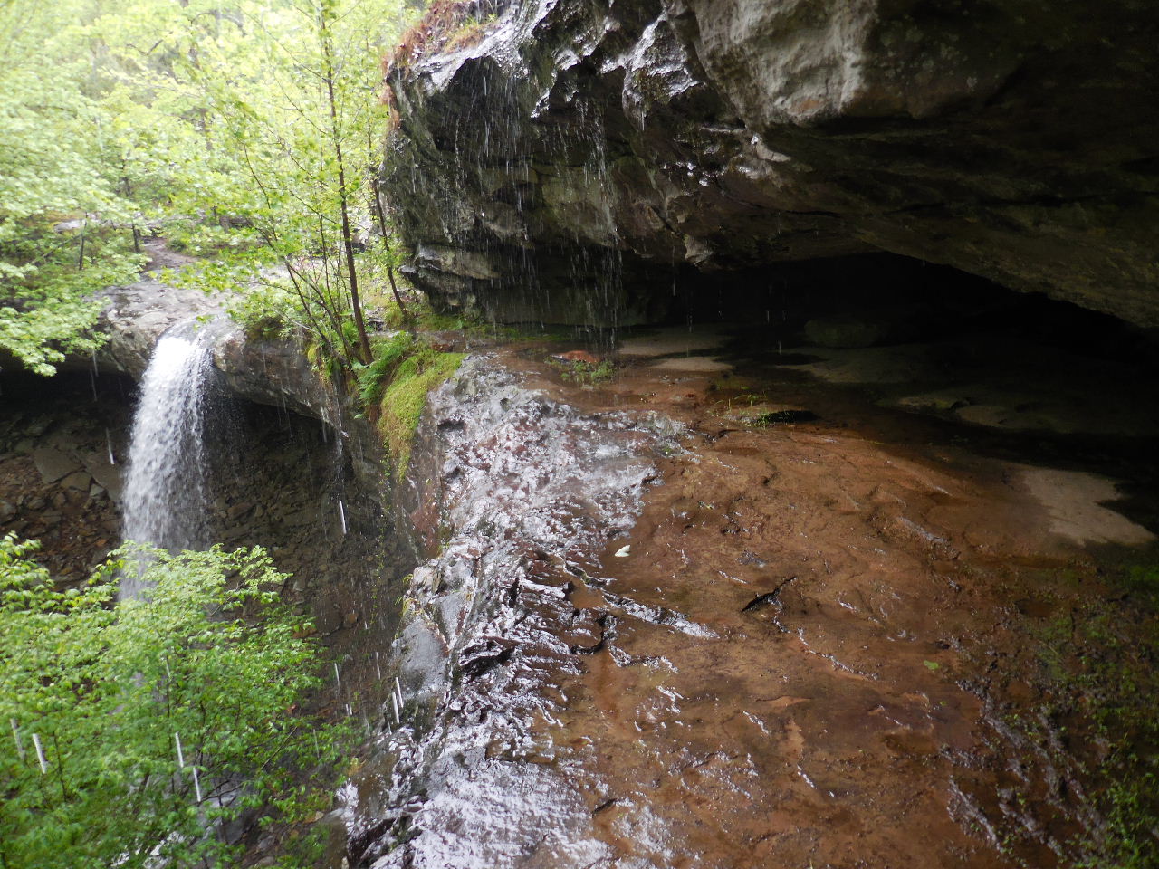 This is the balcony with Hideout Hollow Falls in background....very slick! |
 Hideout Hollow Falls 36.08080°, 93.26977° |
 Stone Work under Bluff |
| Parking Area
"B" Under Powerline 36.07230°, 93.25877° |
||
| McFerrin Point 36.07758°, 93.25368° |
||