.jpg)
Bayou Bluff Recreation Area is listed as 1 of 6 Historic CCC Sites in the Ozark National Forest for it's stone structures.
.jpg)
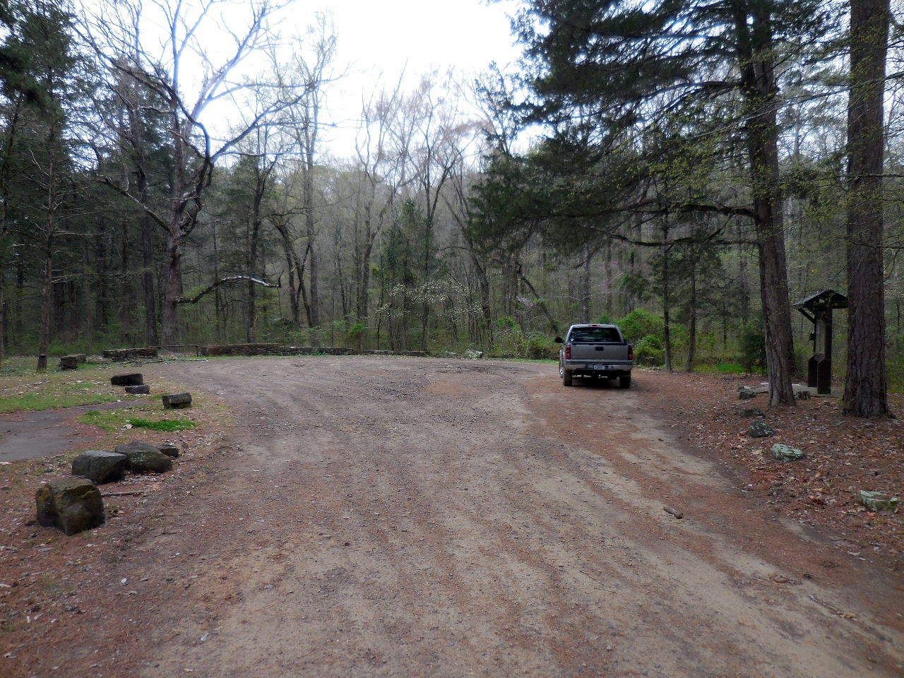
Upper and Lower Campgrounds
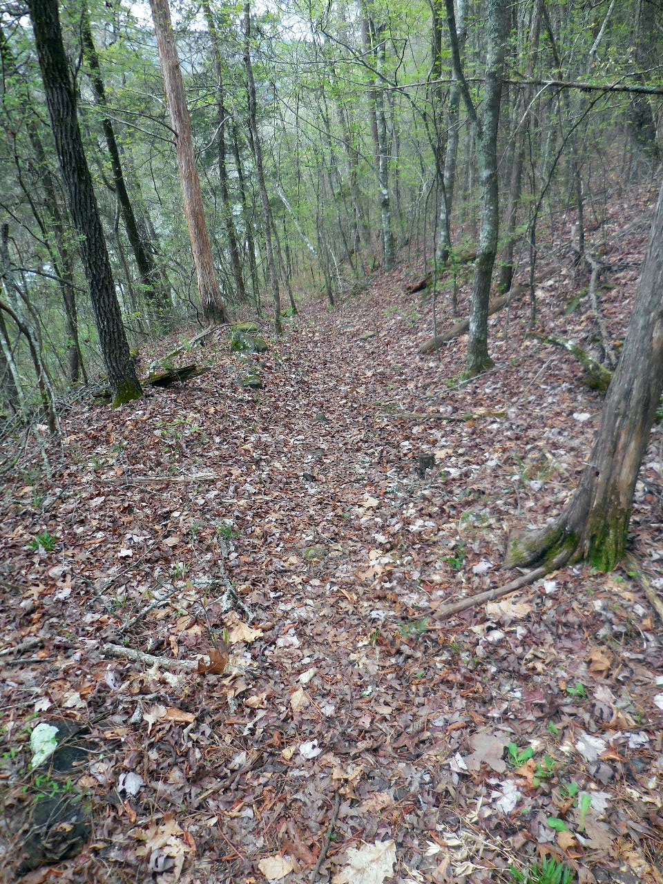
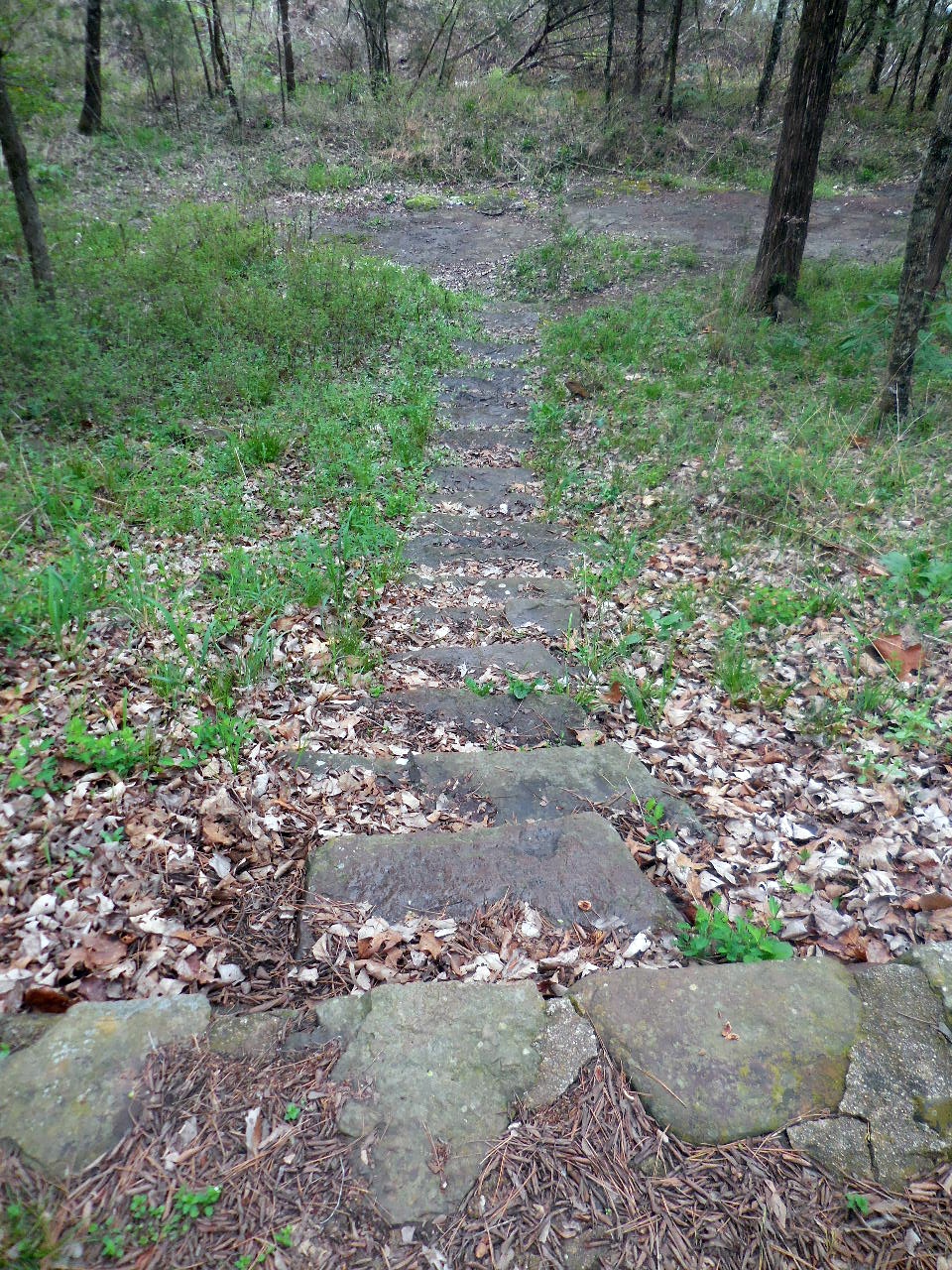
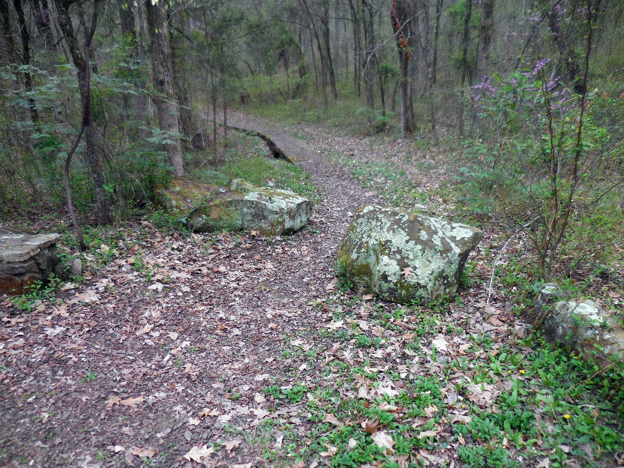
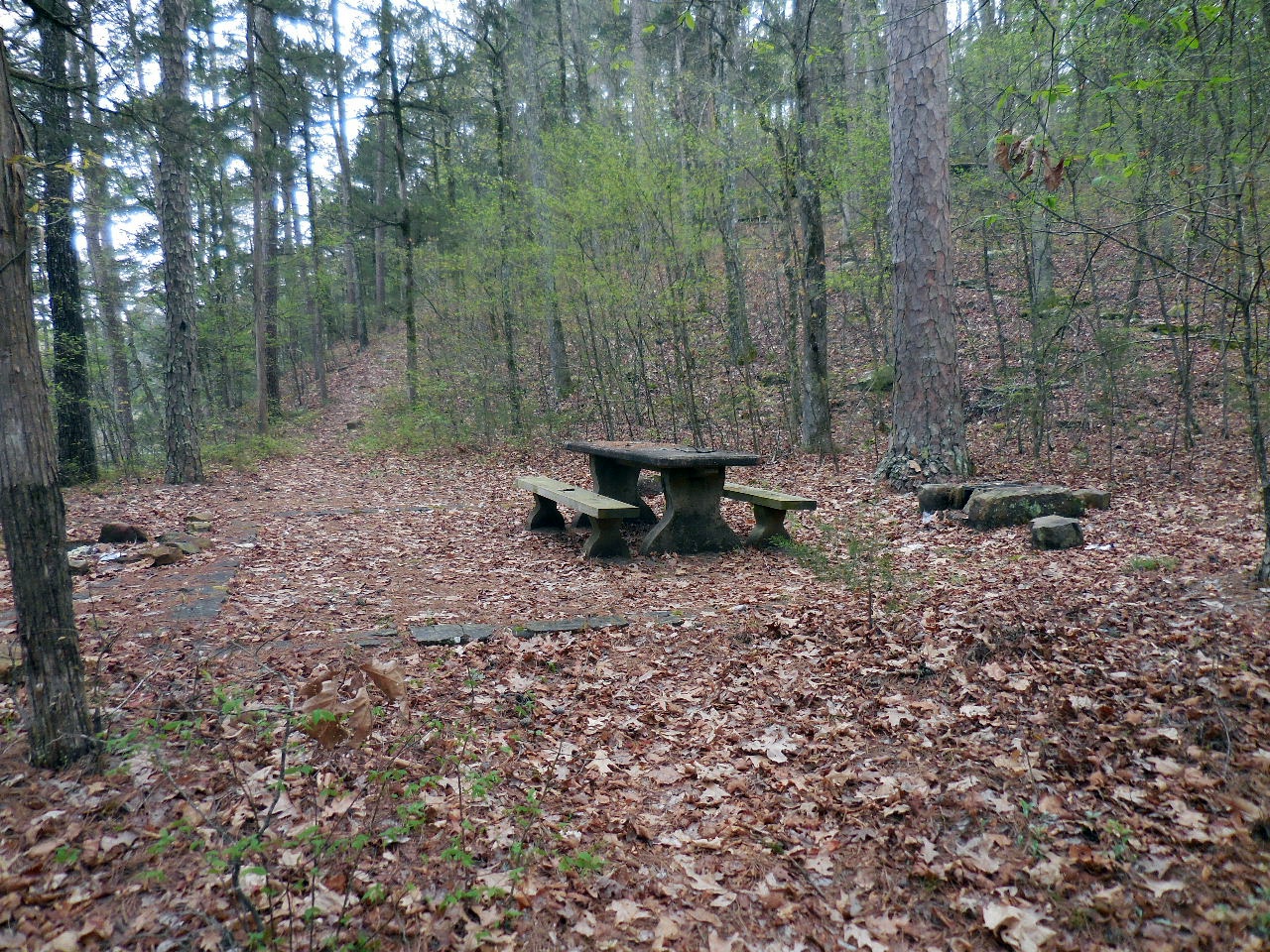
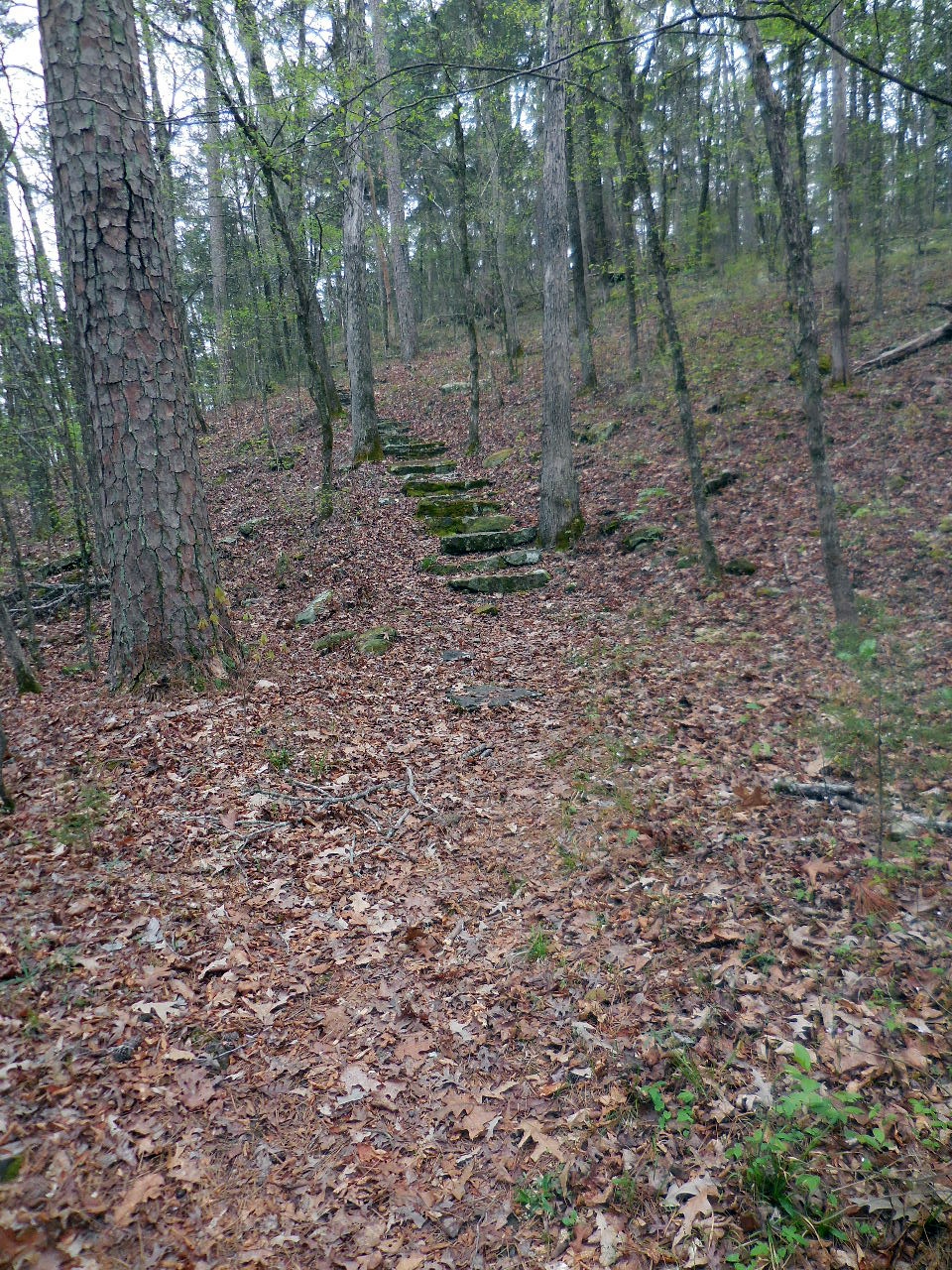
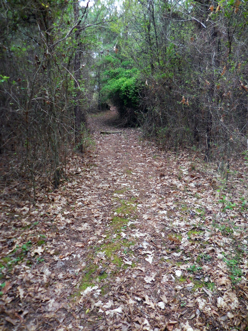
Trail from Upper Campgrounds
.jpg)
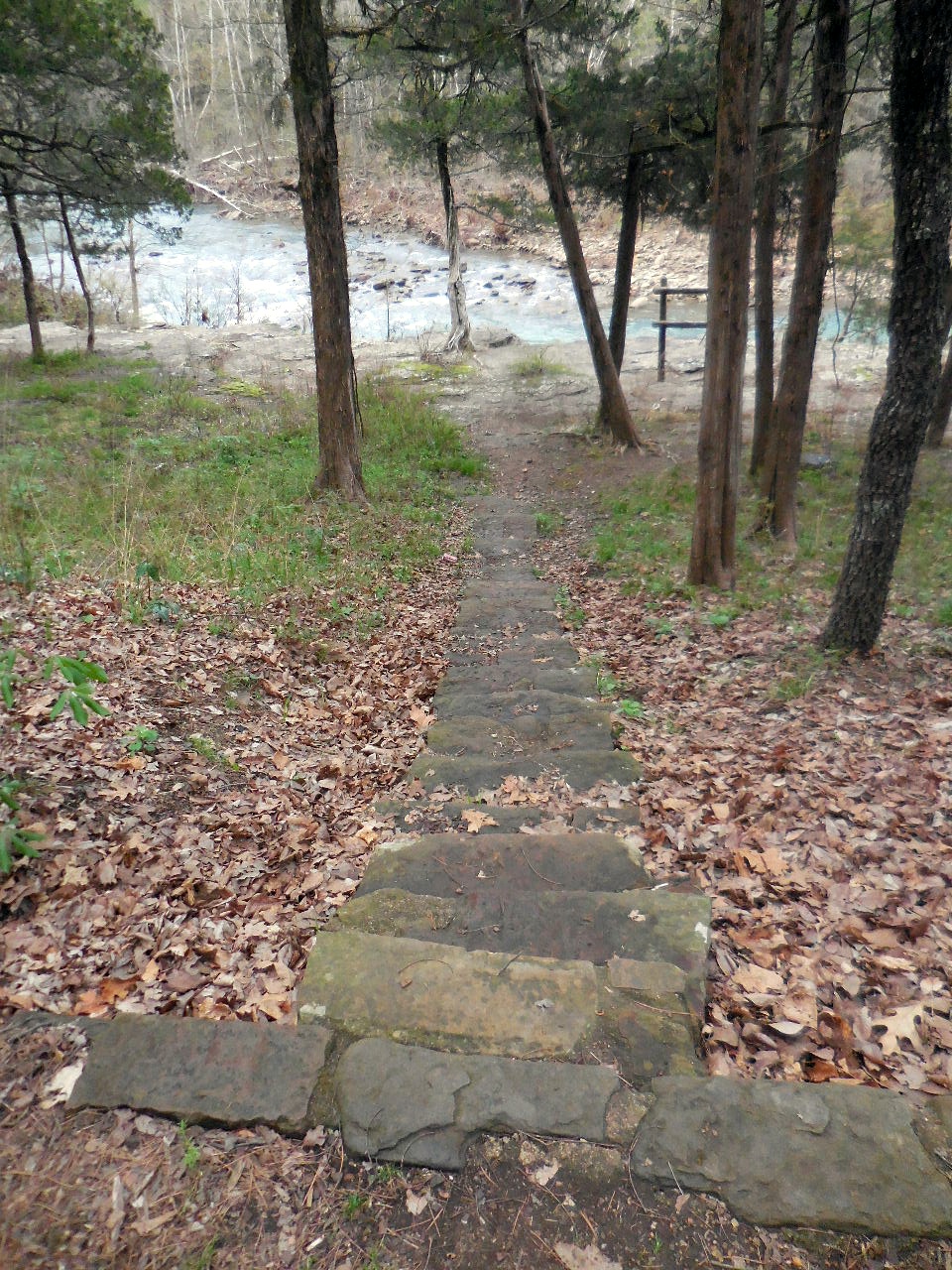
Trail from Lower Campgrounds

Entrance to Upper Campgrounds
35.52322°, 92.94522°
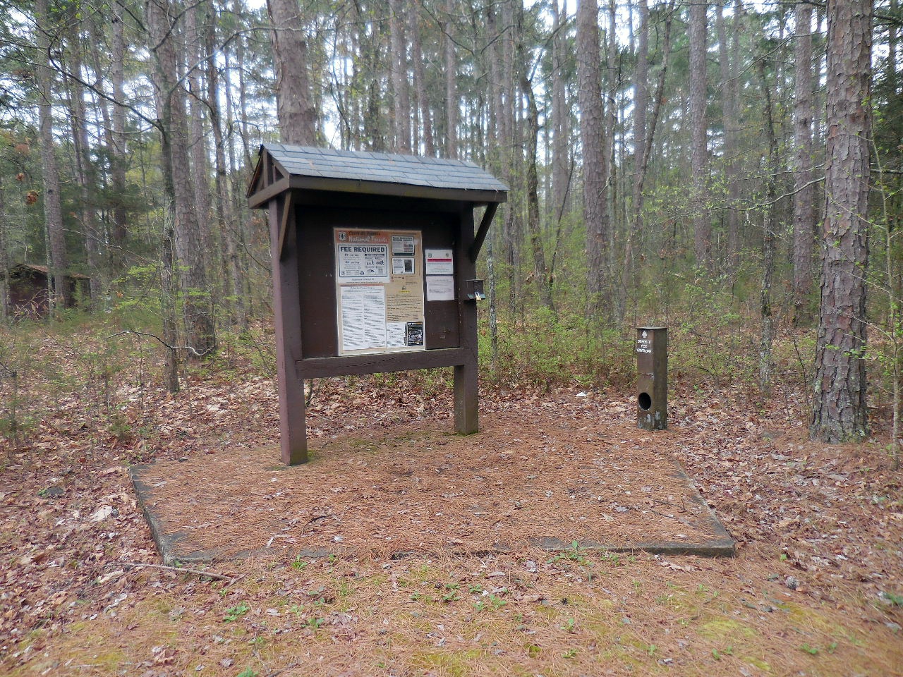
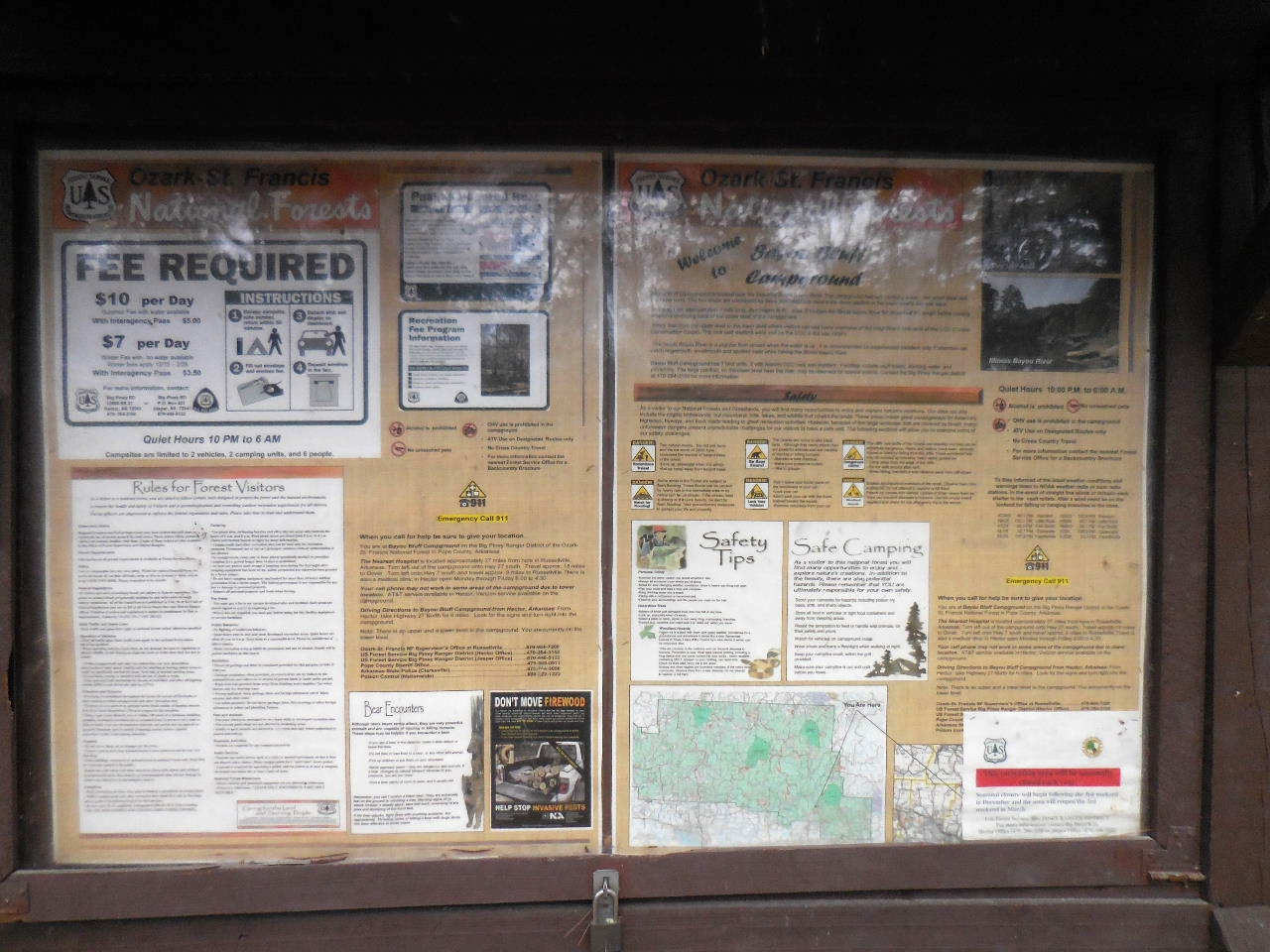
Fee Permit Station
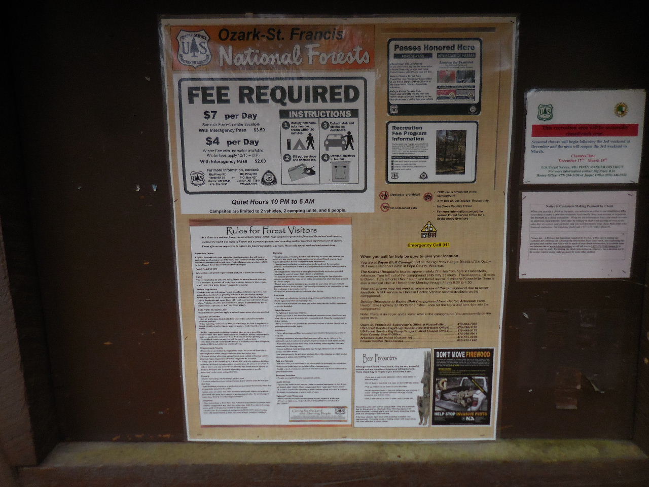
Fees: Summer w/water $7;
Winter w/no water $4.

Table #1 (Tent / Grill)
35.52296°, 92.94464°

Trail down to Table #1a and Lower Campgrounds
is CLOSED.
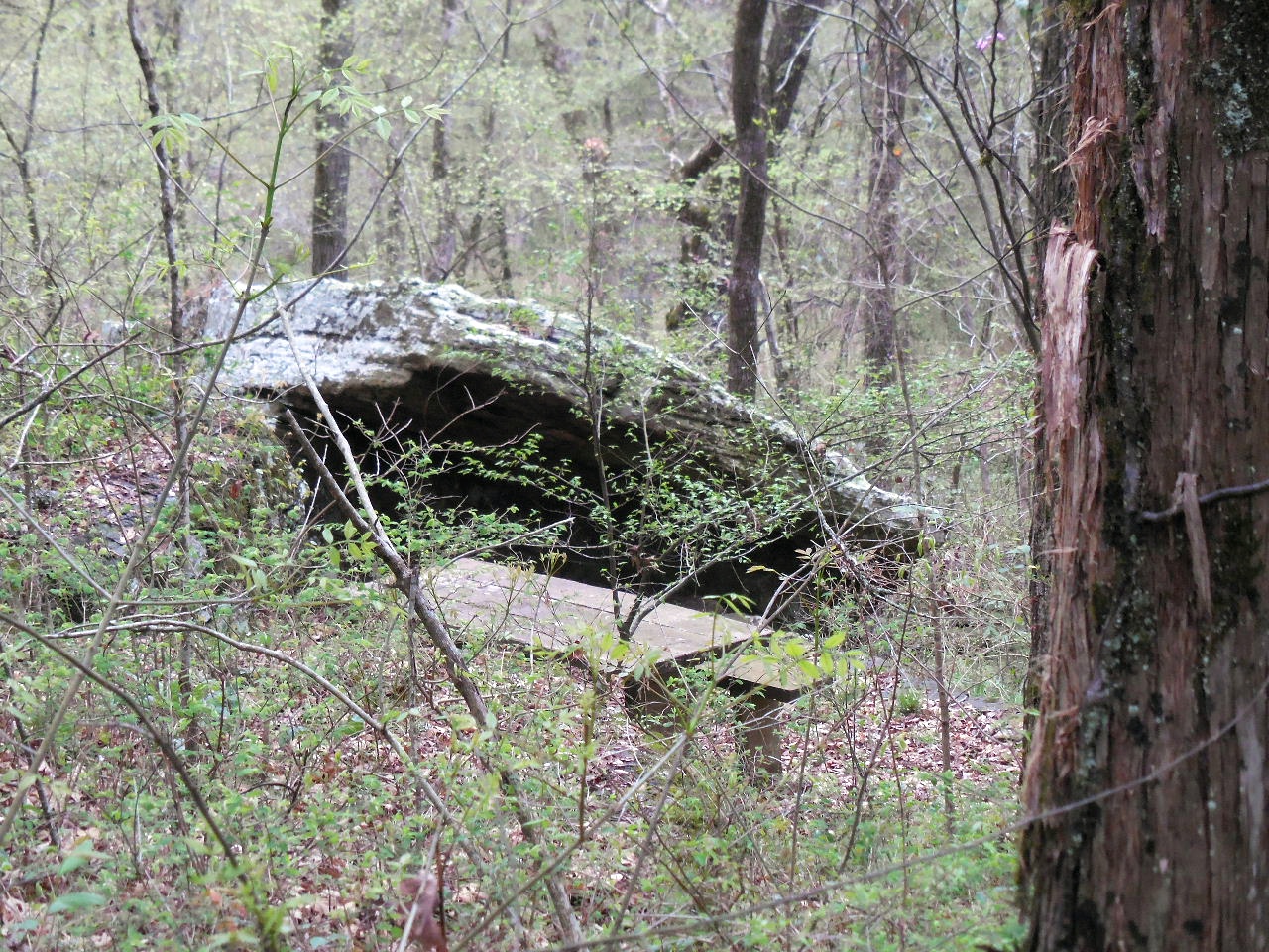
Table #1a sits down below Table #1

Table #2 (Tent / Firepit and Grill)
35.52266°, 92.94477°
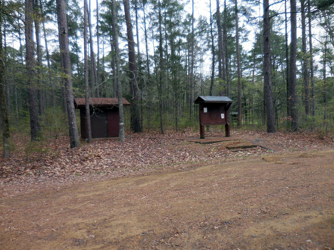
Bulletin Board & Bldg. across from Table #2
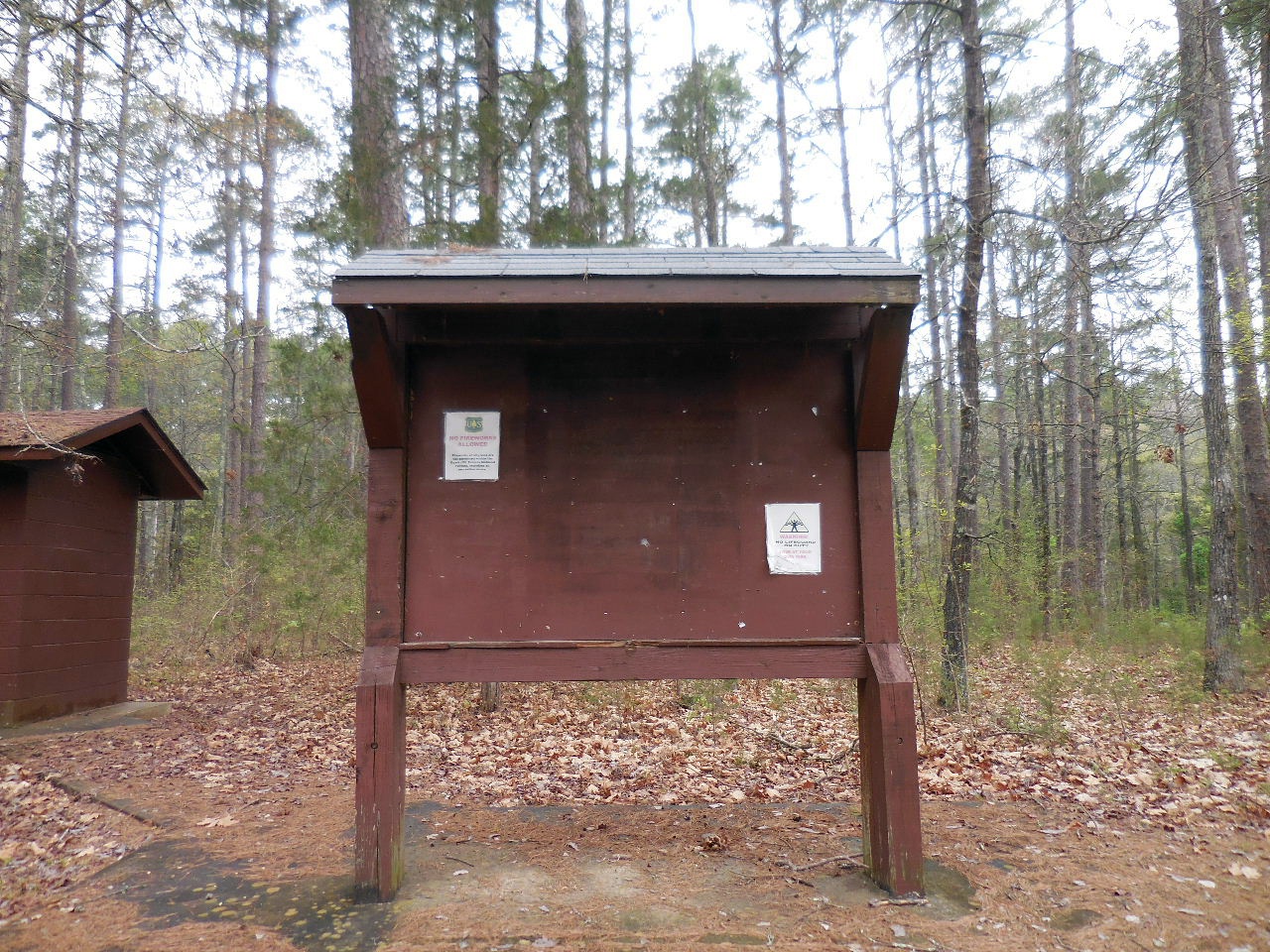
Bulletin Board (Parking in front of board)
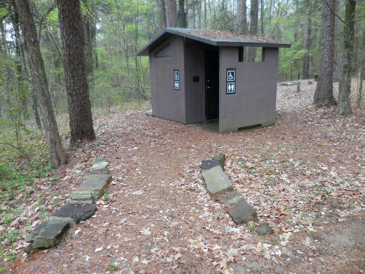
Vault Toilet
35.52248°, 92.94505°
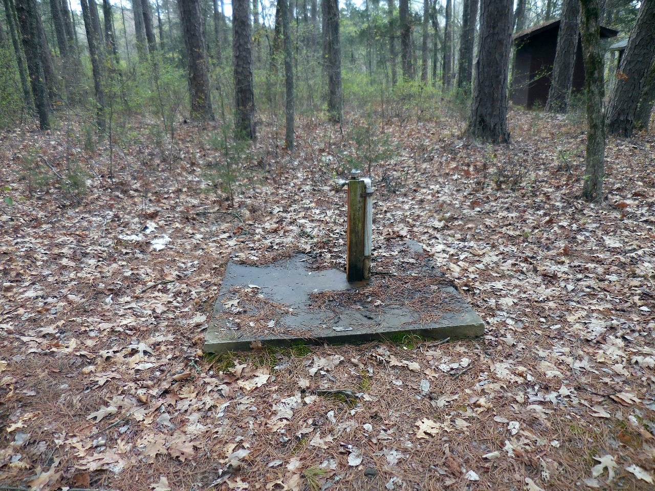
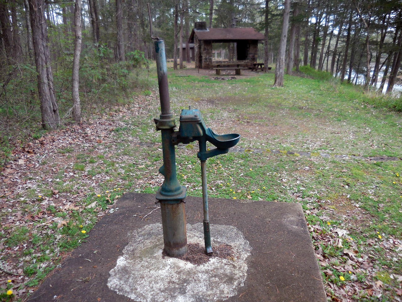
Water Faucet across from toilet
35.52267°, 92.94515°
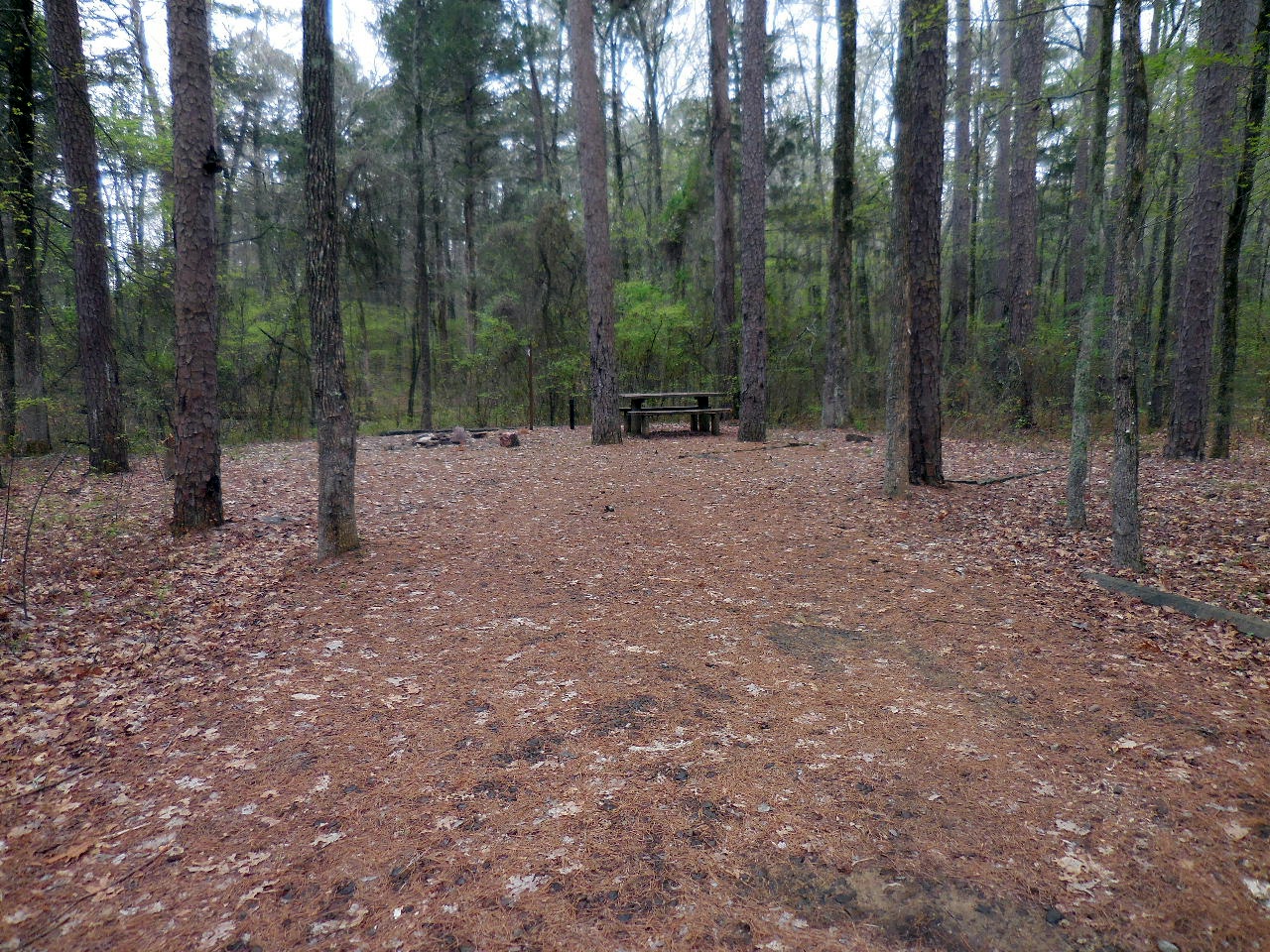
Table #3 (Tent / Firepit)
35.52253°, 92.94537°
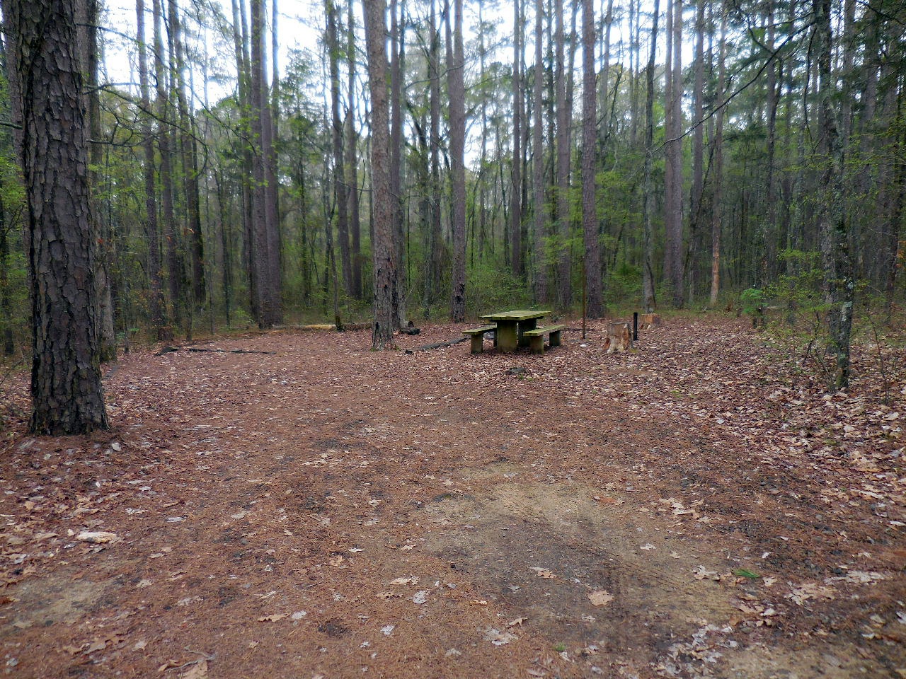
Table #4 (Tent / Firepit)
35.52261°, 92.94550°
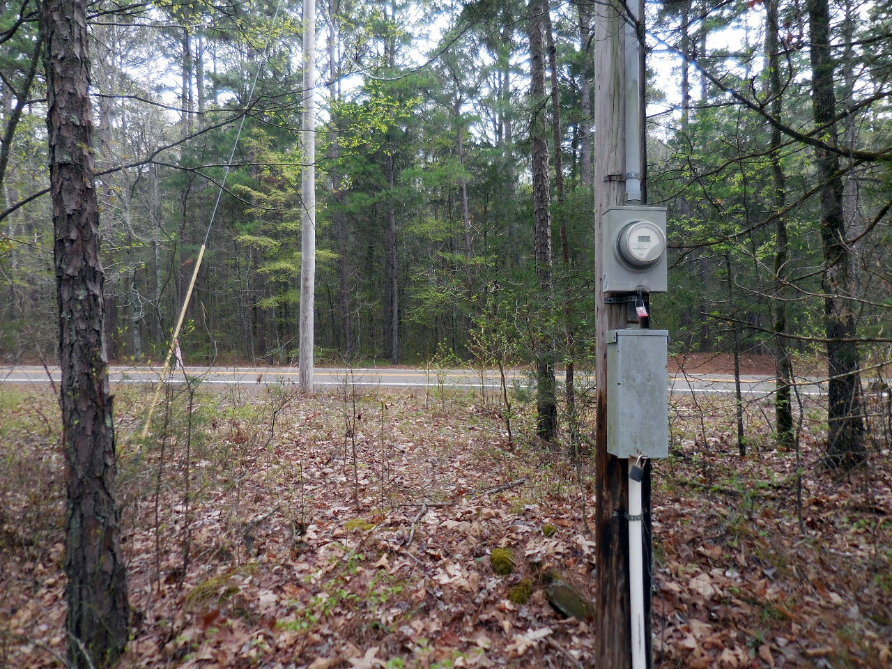
Road ends at Elec. Meter (Hwy. 27 in background)

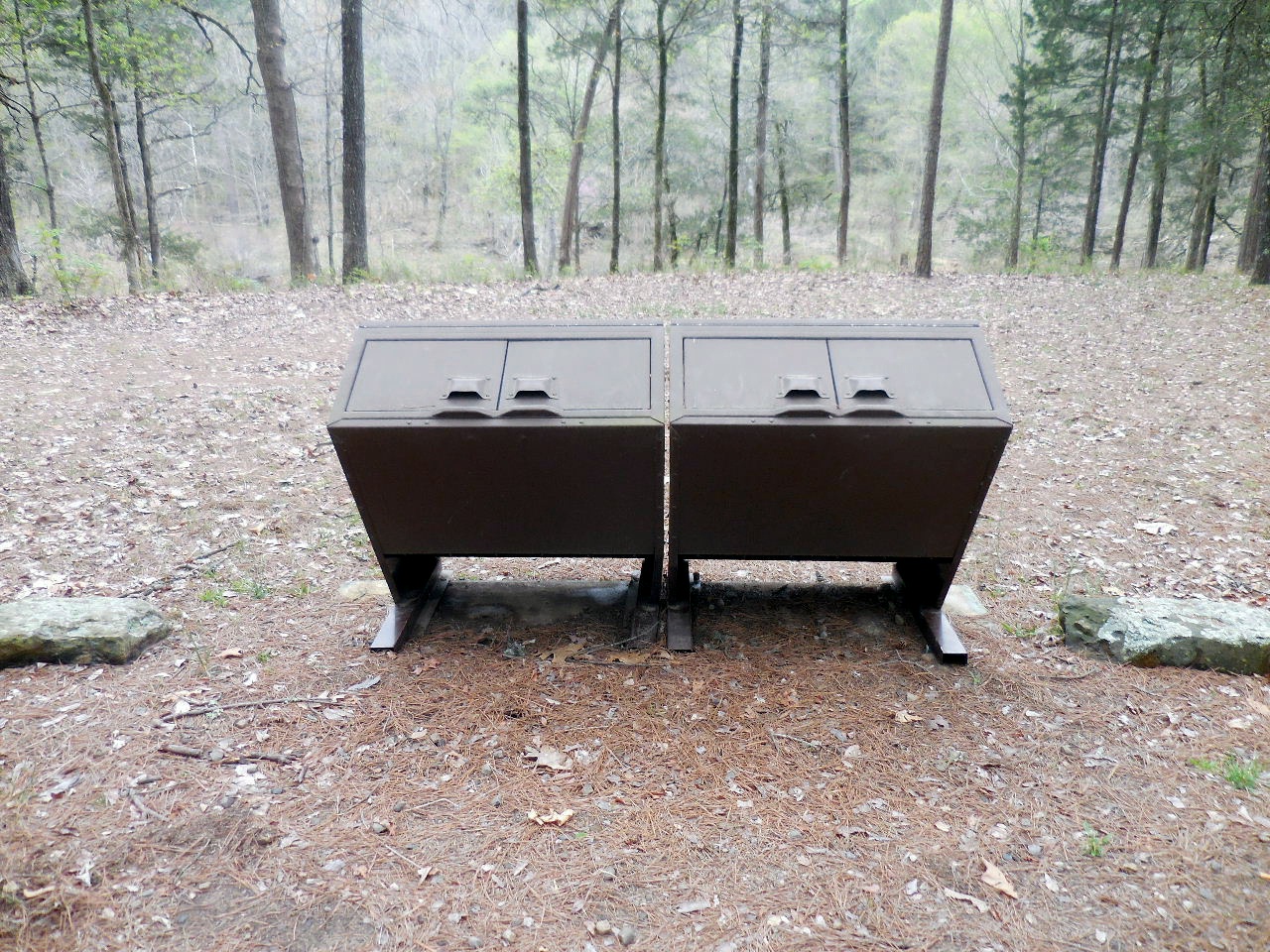
Trash Bin
35.52248°, 92.94492°
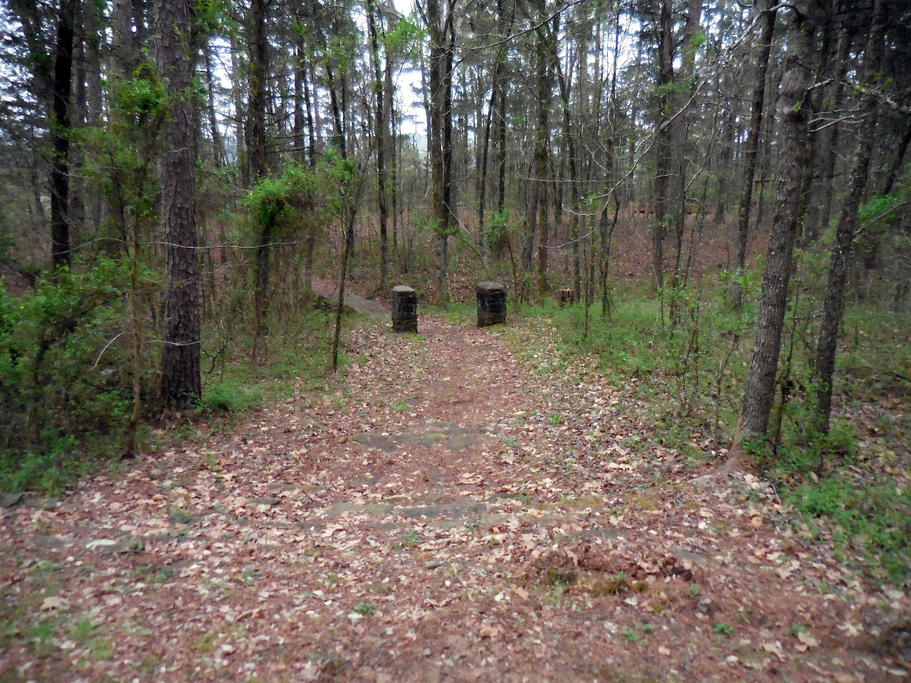
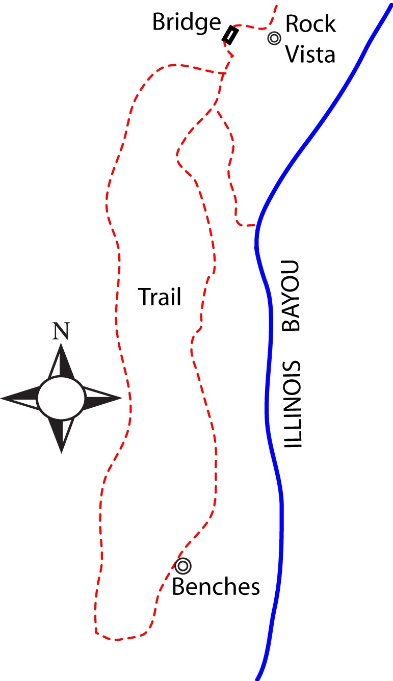
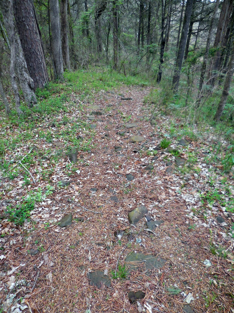
Entrance to Trail
35.52273°, 92.94474°
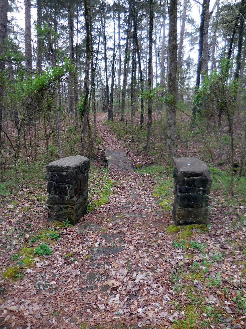
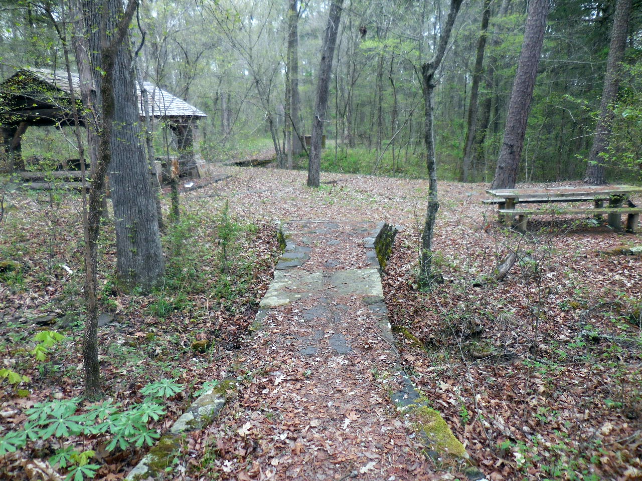
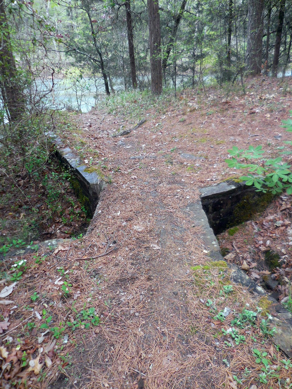
Rock Pillars and Rock Bridge
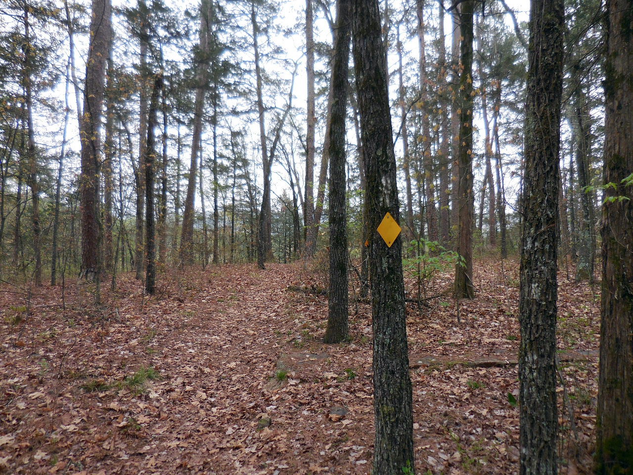
Just past this yellow trail marker, to the right,
is the trail leading to the Outdoor Amphitheater.
35.52234°, 92.94473°
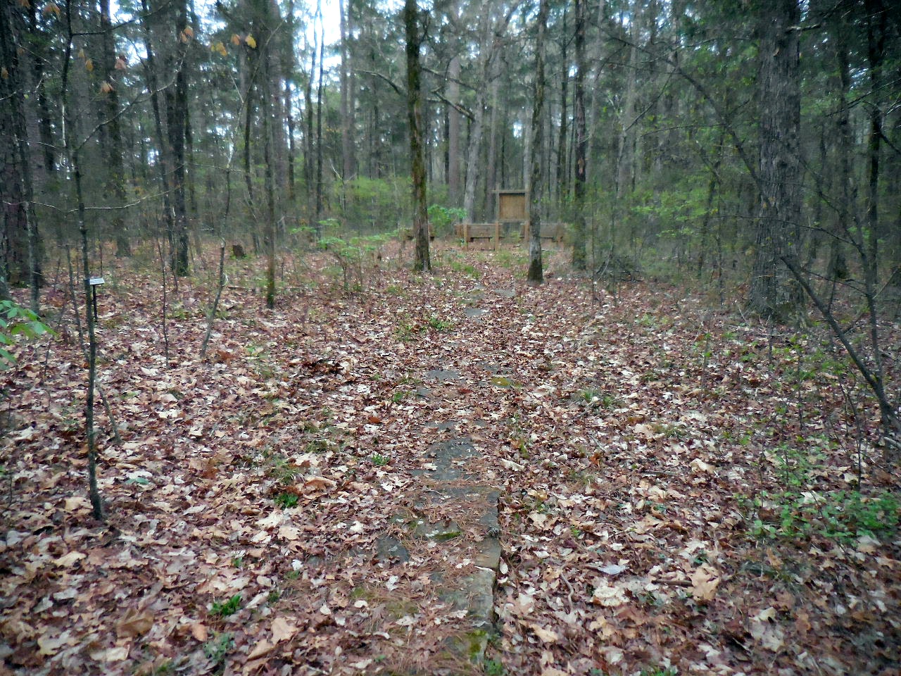
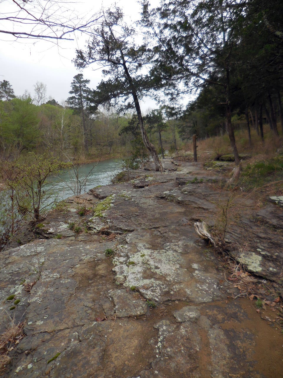
Rock pathway to Amphitheater
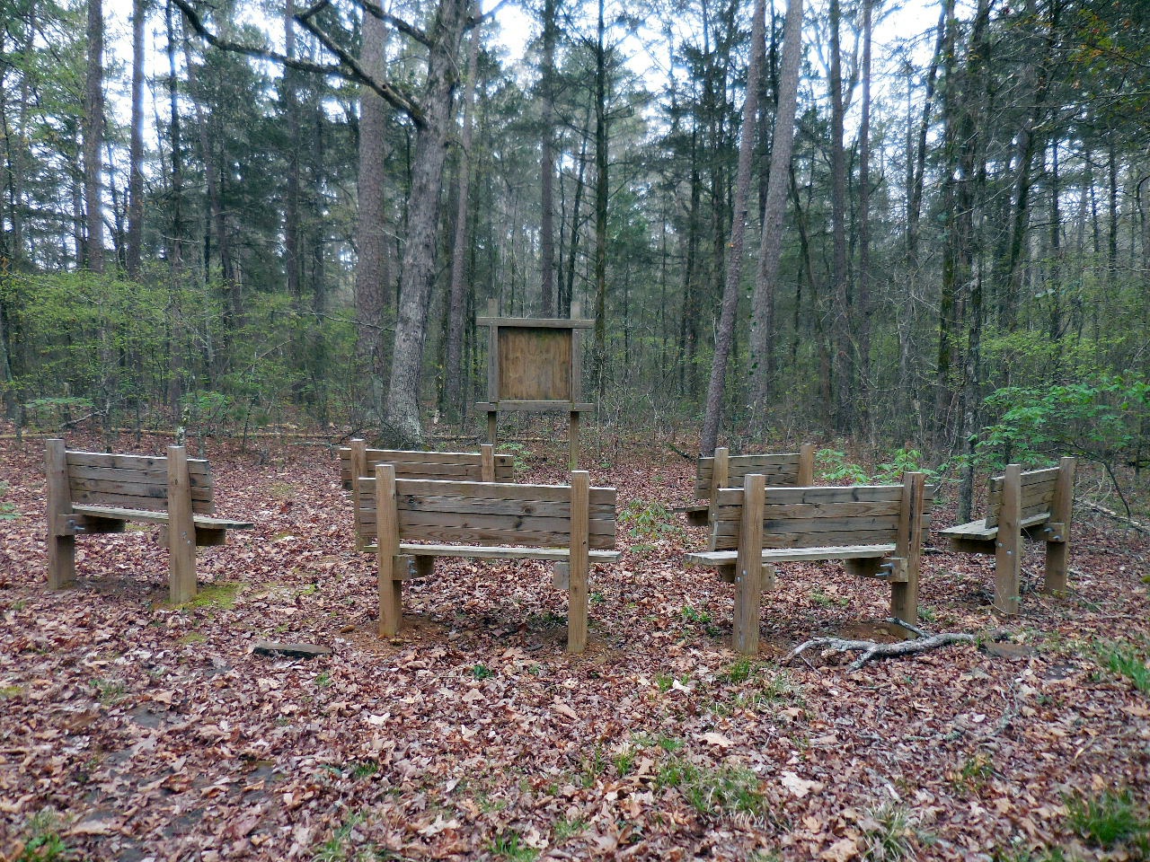
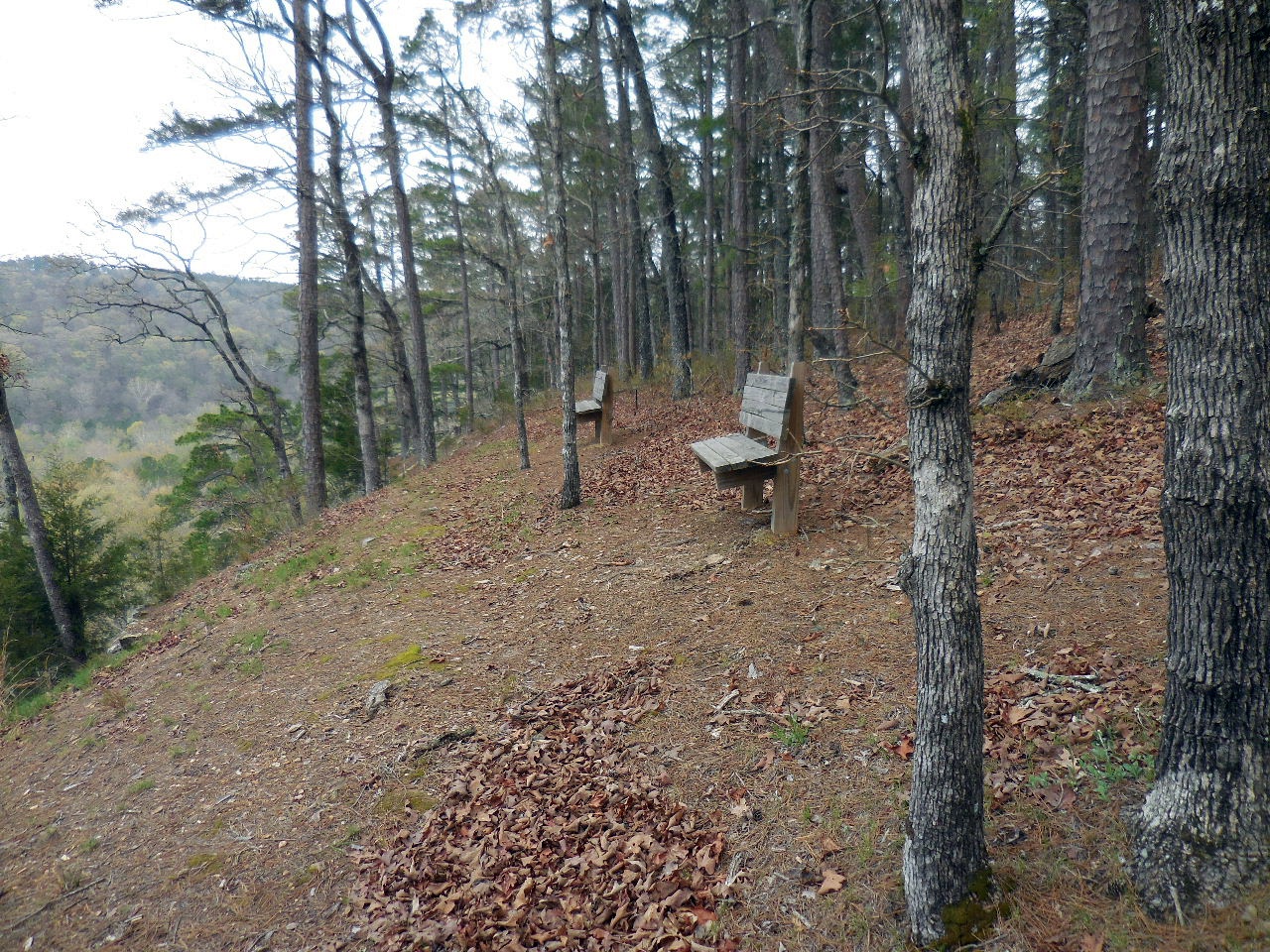
"C" Outdoor Amphitheater
35.52205°, 92.94494°
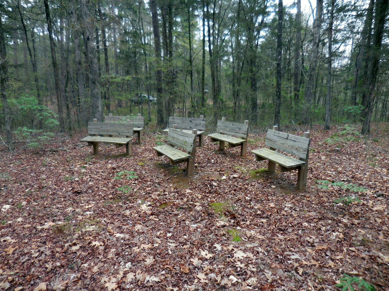
Benches at Amphitheater
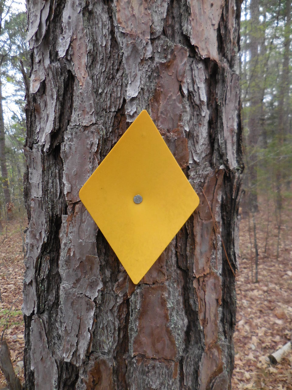
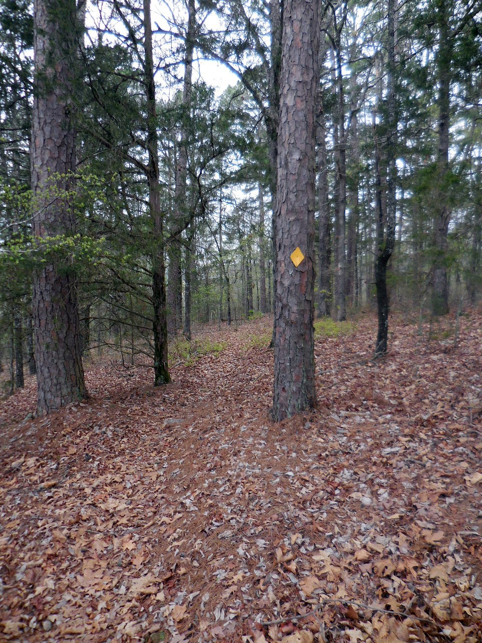
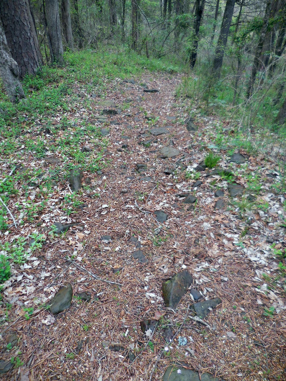
Typical Trail Marker

Trail leading down to Lower Campgrounds
(Just before you get to Table #11)
35.52220°, 92.94441°
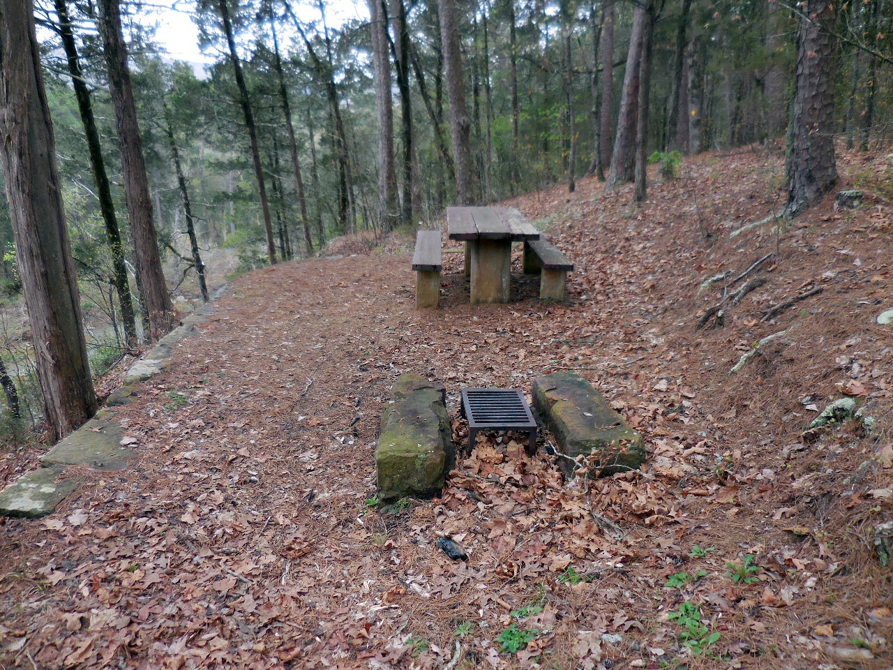
Table #11 (Grill)
35.52209°, 92.94440°
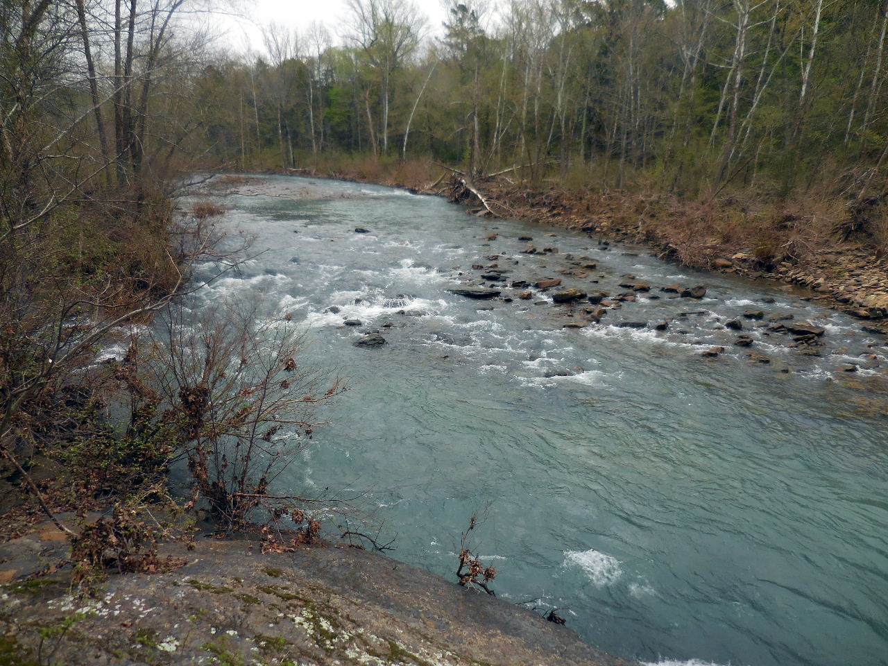
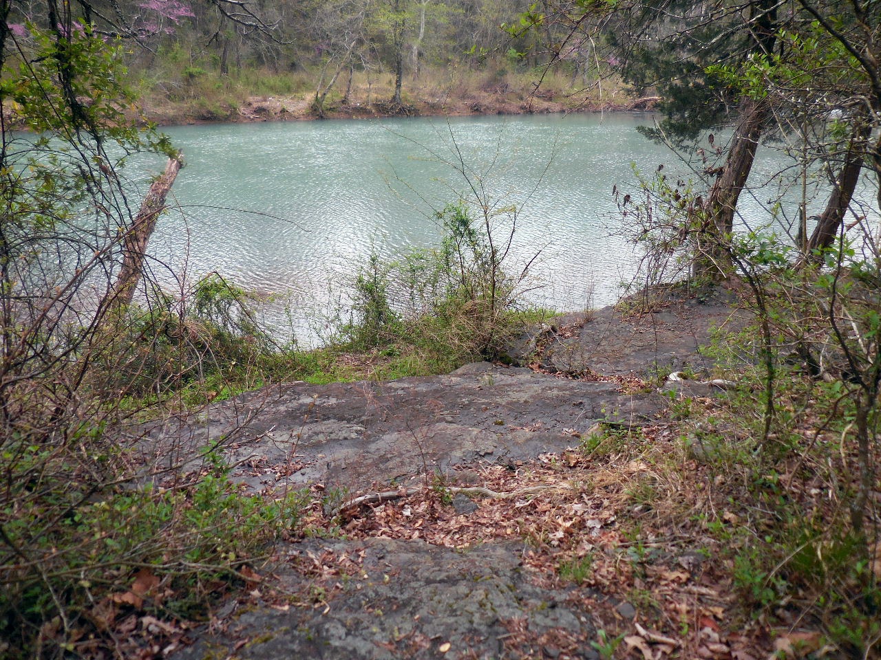
View of Illinois Bayou from Table #11
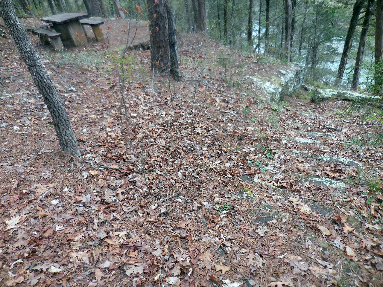
Trail leading down to Lower Campgrounds
(Just south of Table #11)
35.52198°, 92.94451°

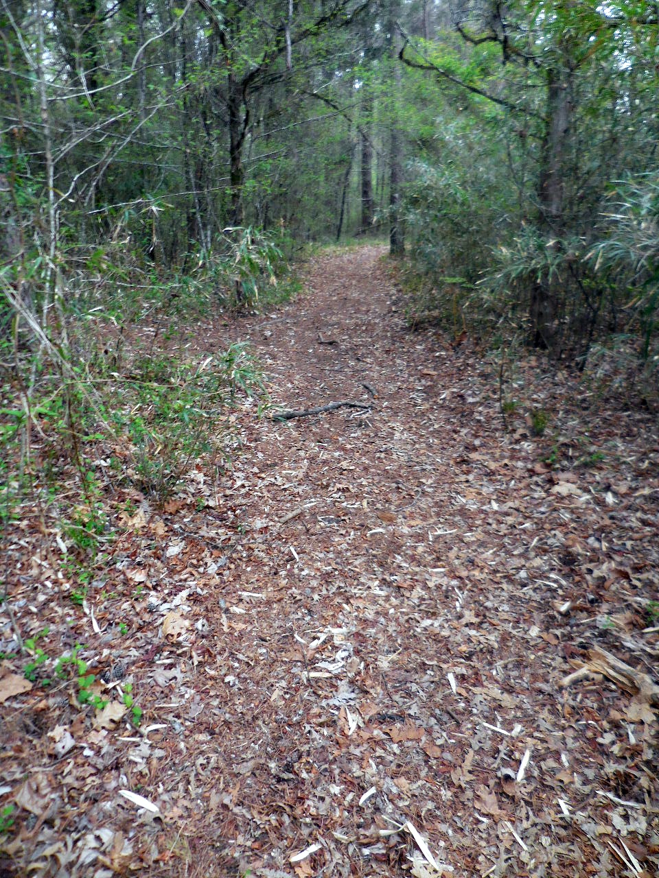
Trail heading south from Table #11
-vert.jpg)
-vert.jpg)
These tree signs are located along the trail.
-vert.jpg)
-vert.jpg)
-vert.jpg)
-vert.jpg)

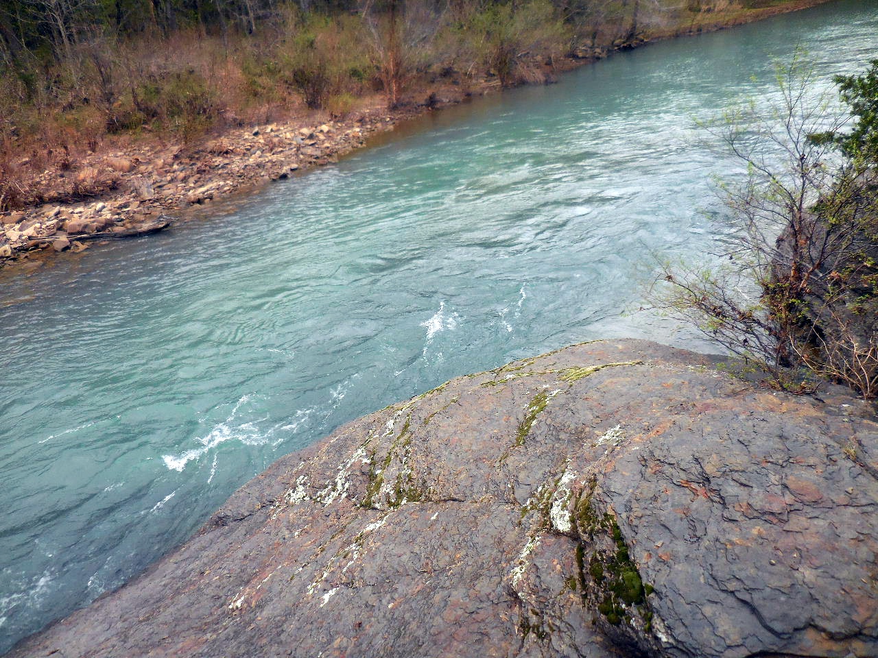
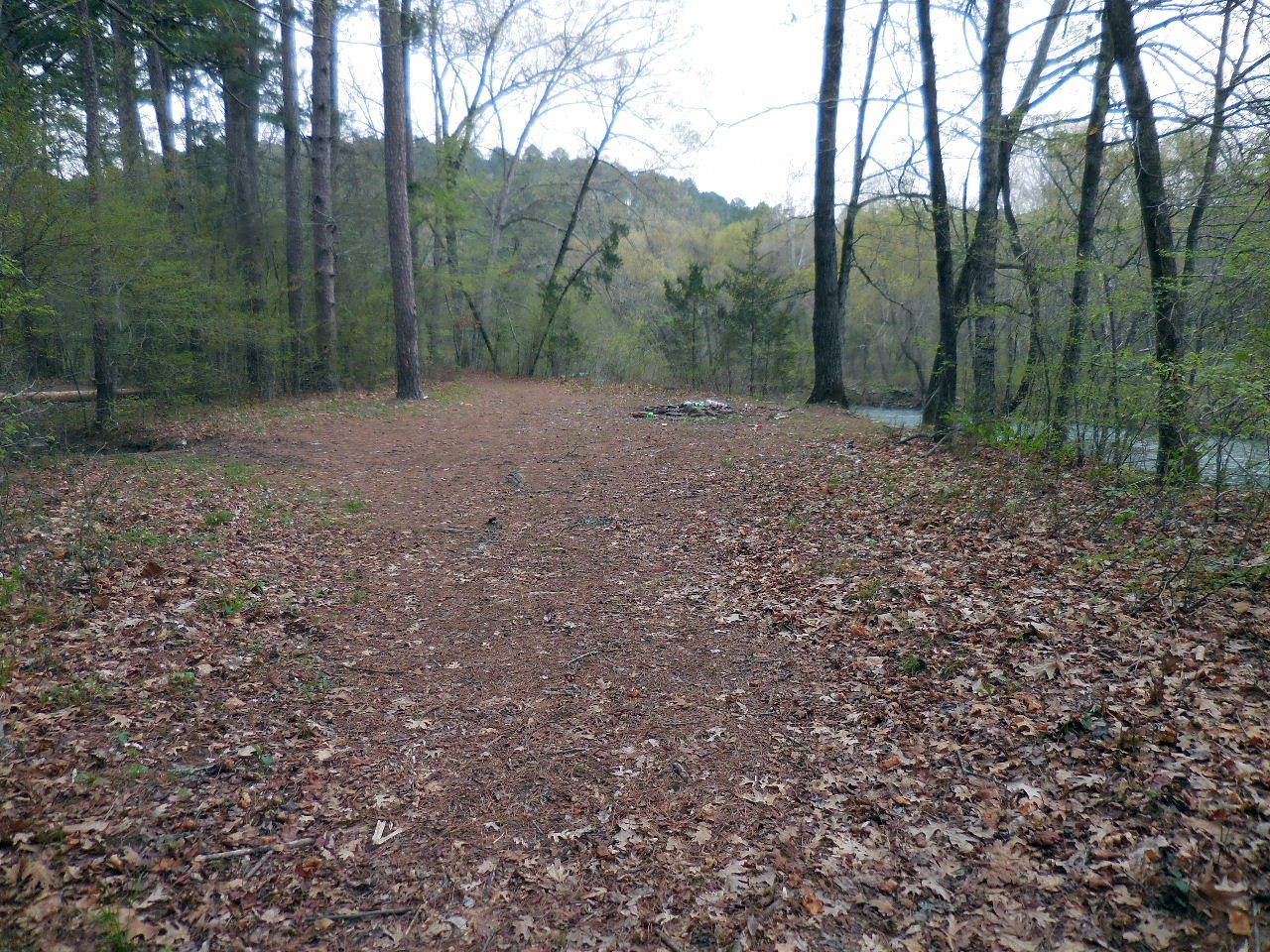
Rock Vista
35.52065°, 92.94537°

Wooden Bridge
35.52069°, 92.94587°
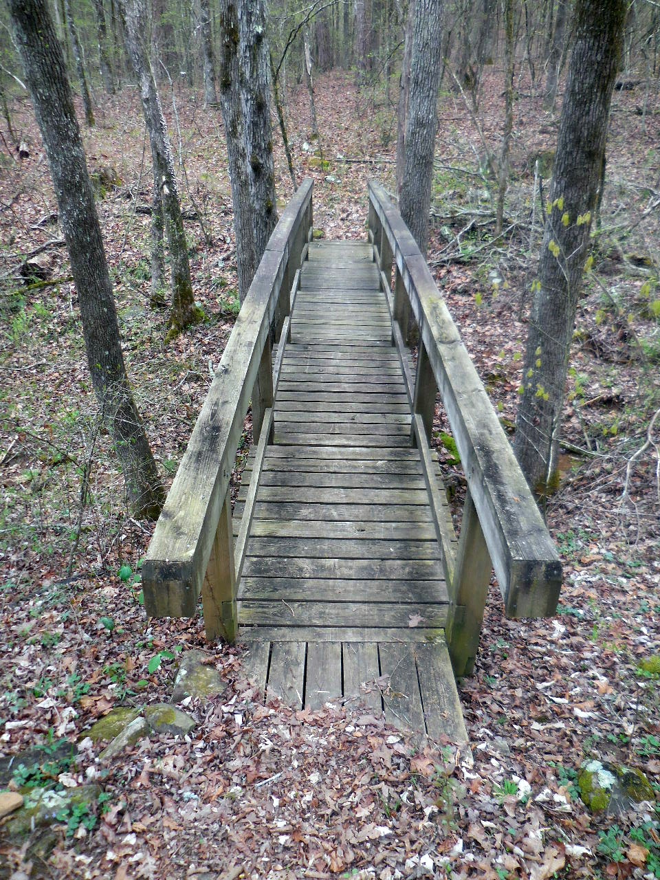
Wooden Bridge
Intersection of Loop (Just past bridge)
35.52048°, 92.94583°
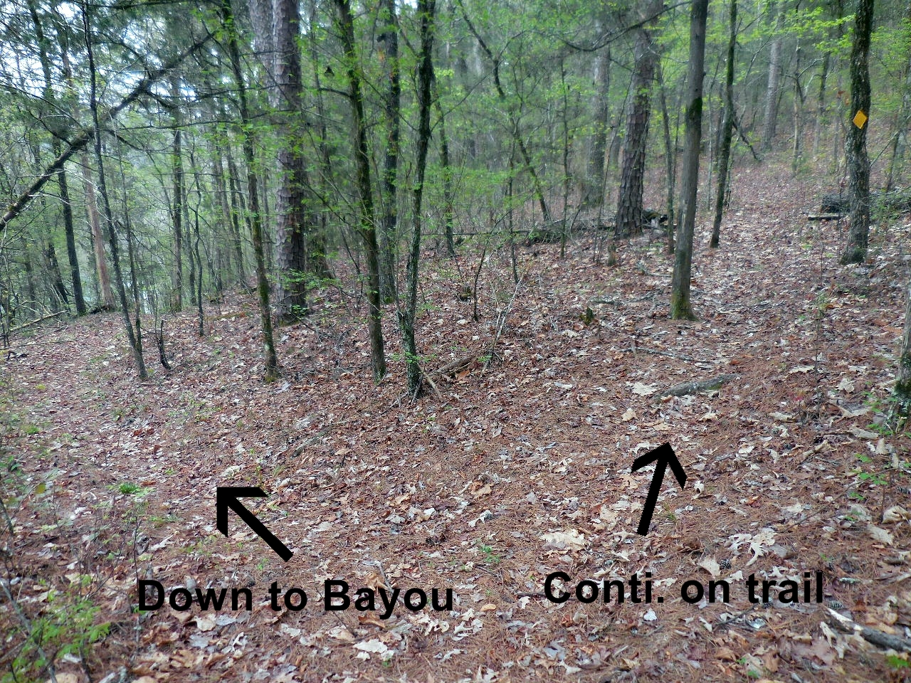
Side trail leading down to Illinois Bayou
35.52028°, 92.94593°
Side trail leading down to Illinois Bayou
(Looks like an old roadbed?)
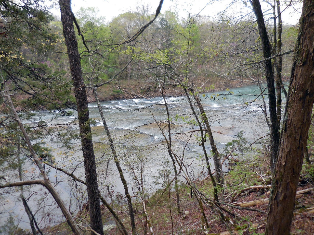
View of Illinois Bayou on side trail
This is where side trail comes out on the Illinois Bayou
35.51939°, 92.94556°
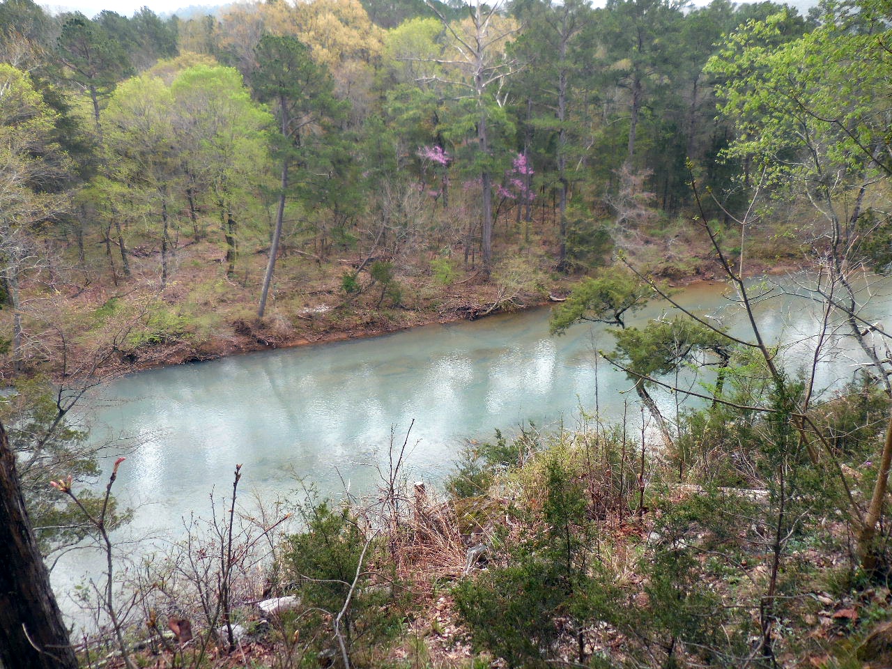
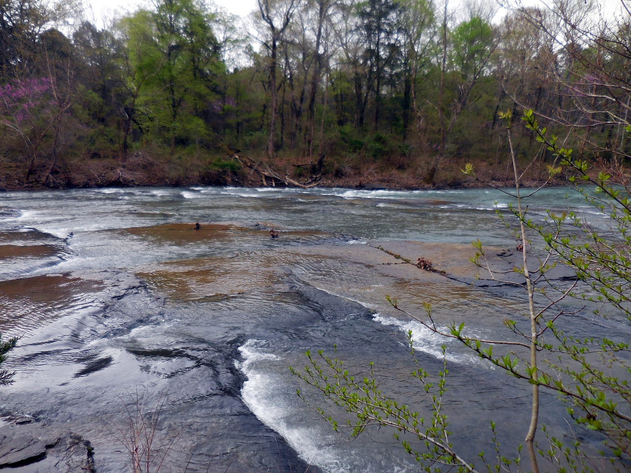
Looking back upstream towards Bayou Bluff
Benches at Vista Point

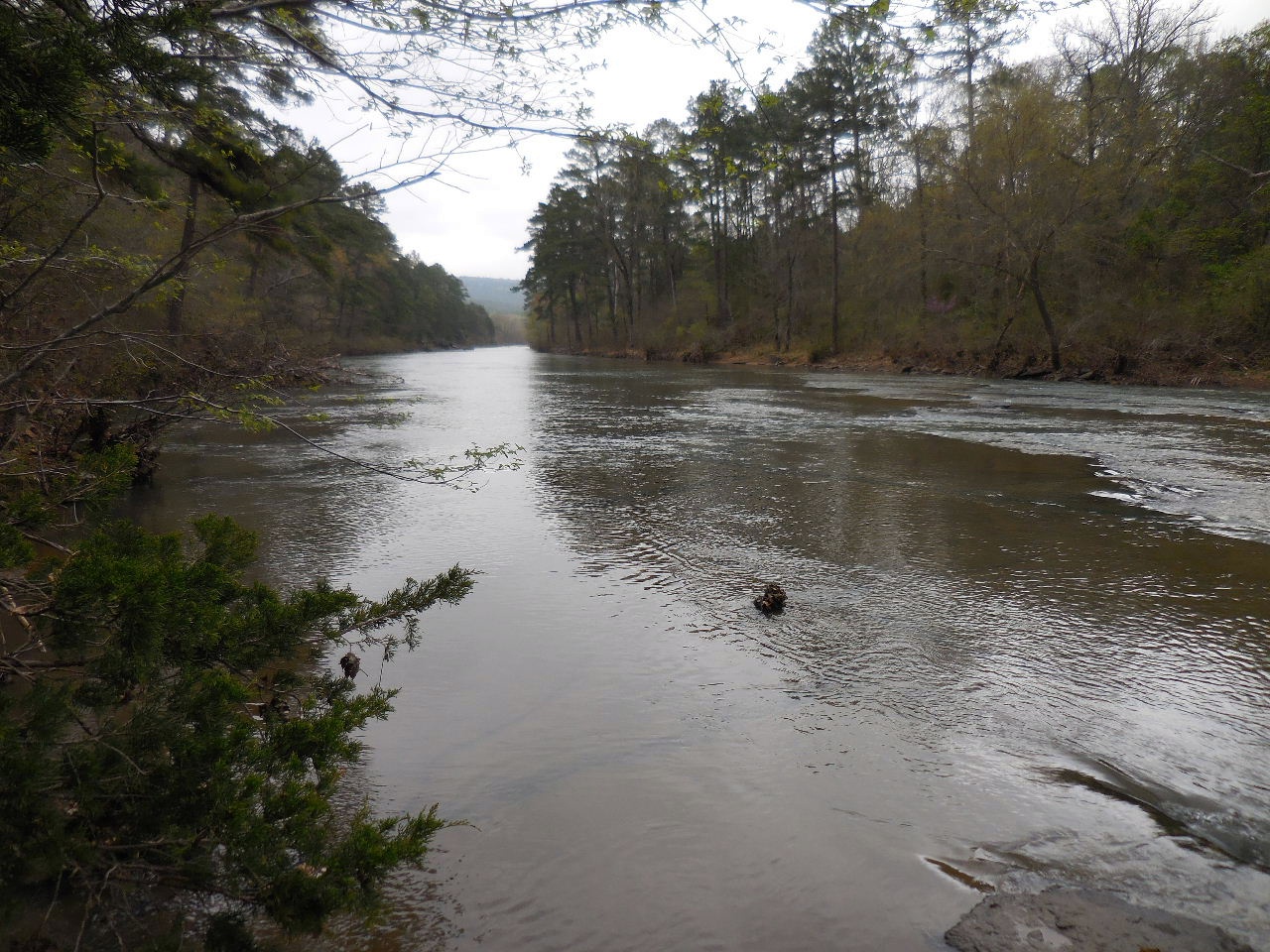
View of Illinois Bayou from Vista
35.51608°, 92.94643°
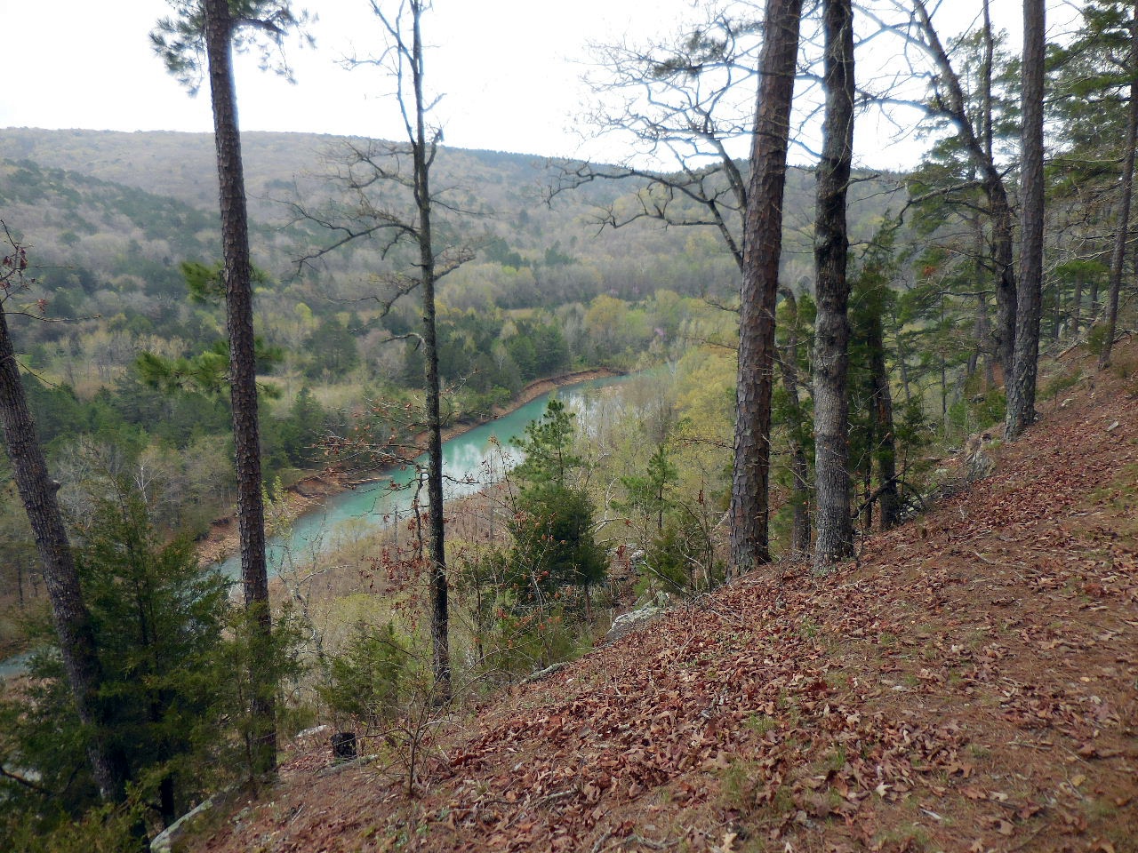
View from Vista
(The trail continues on around and back through
the woods.....trail approx. 1.1 miles total)
.jpg)
Entrance to Lower Campgrounds
35.52472°, 92.94428°

Table #5 (CCC Rock Shelter /Firepit/Grill)
Entrance 35.52425°, 92.94328°

Table #5 CCC Rock Shelter
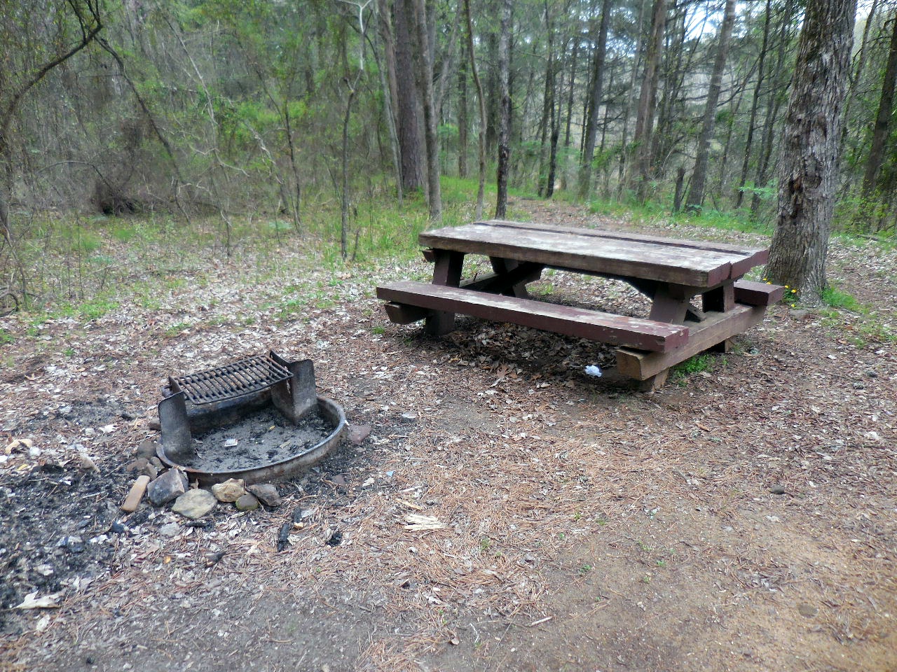
Table #5 and Firepit/Grill
35.52419°, 92.94301°
Entrance to trail heading north from Table #5
(Just north of Table #5)
35.52427°, 92.94289°
Rock Steps leading down to Bayou
from Table #5
35.52417°, 92.94290°
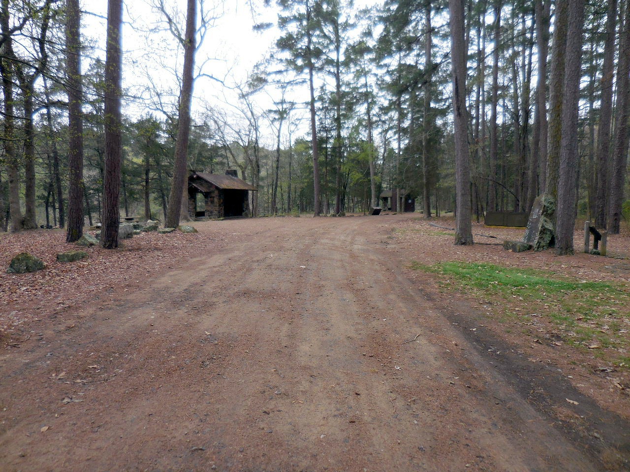
Table #6 on left (Looking south)
Pavilion on right (Not shown)
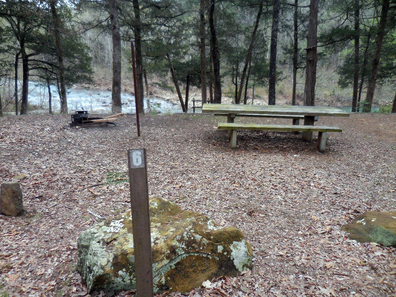
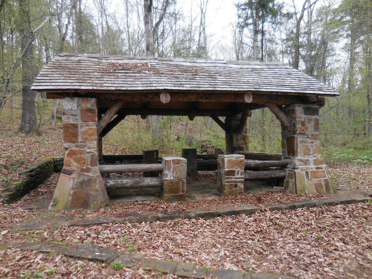
Table #6 (CCC Rock Shelter/Firepit)
35.52375°, 92.94318°

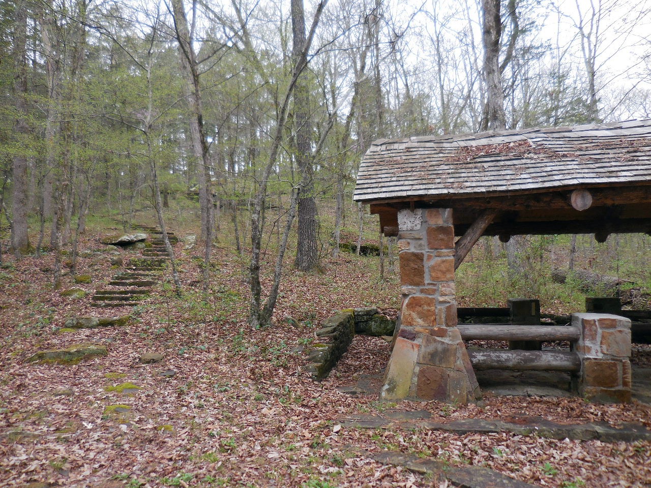
Table #6 CCC Rock Shelter
Rock Steps leading down to Bayou
from Table #6

Illinois Bayou just below Table #6
Looking upstream....
Looking down stream....
You can walk down stream all the way to
Table #8
Looking back up at Table #6
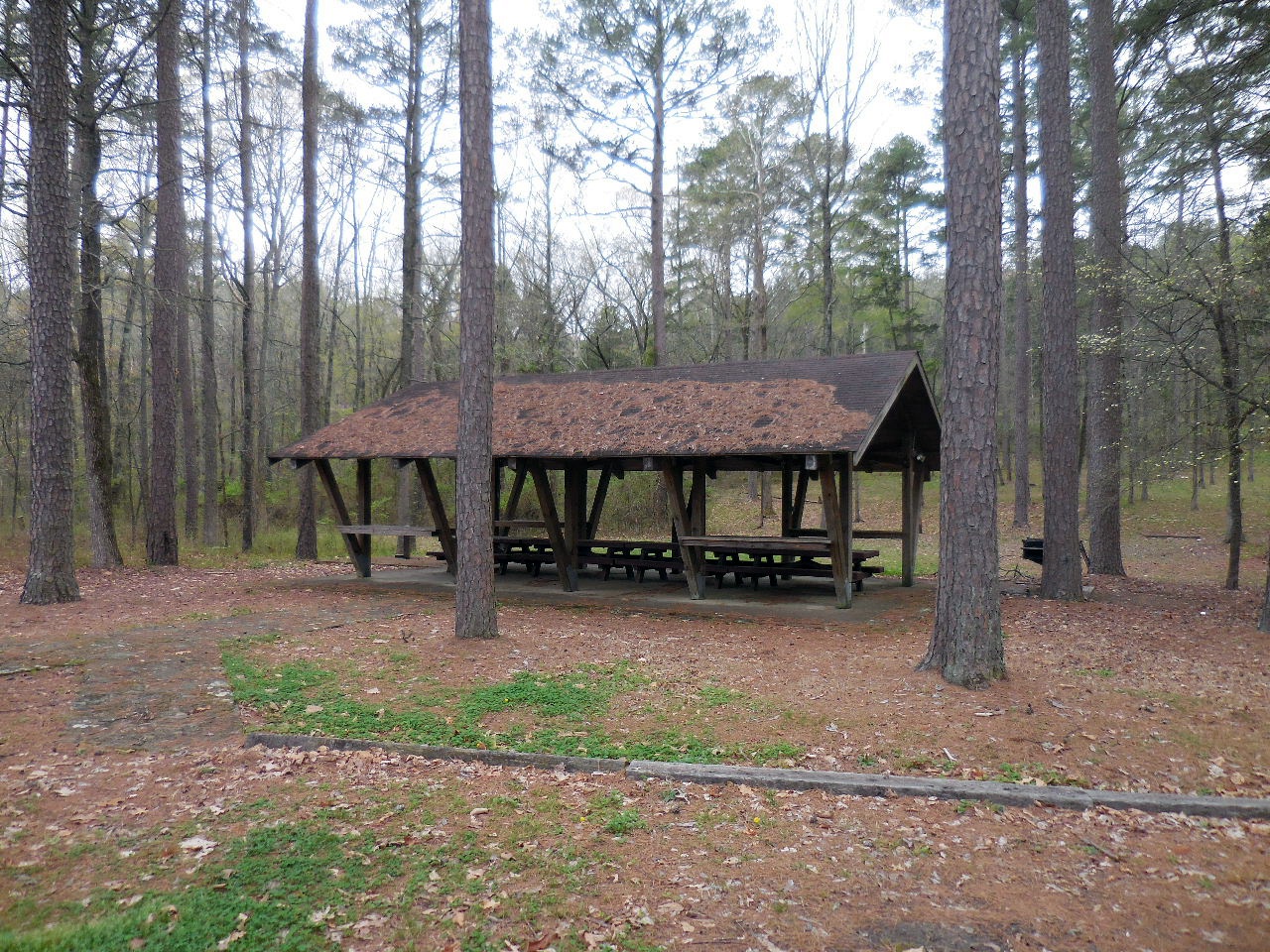
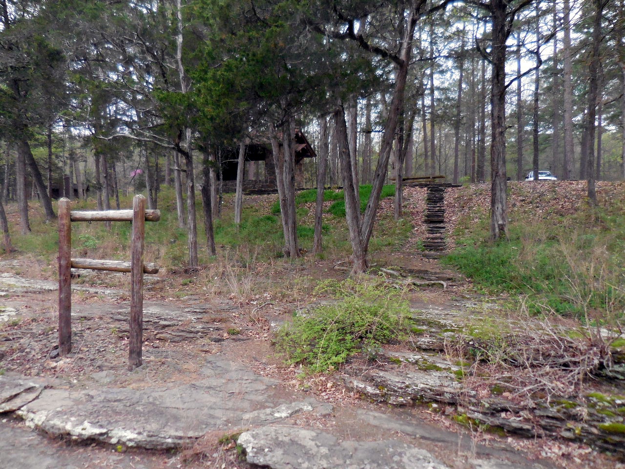
"A" Pavilion
35.52395°, 92.94346°
(Seating for 30, Reserve, Water, Grill, Electricity)
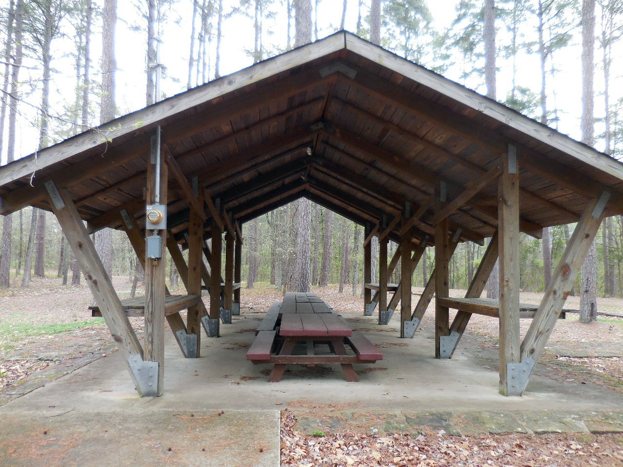
"A" Pavilion built in 1990
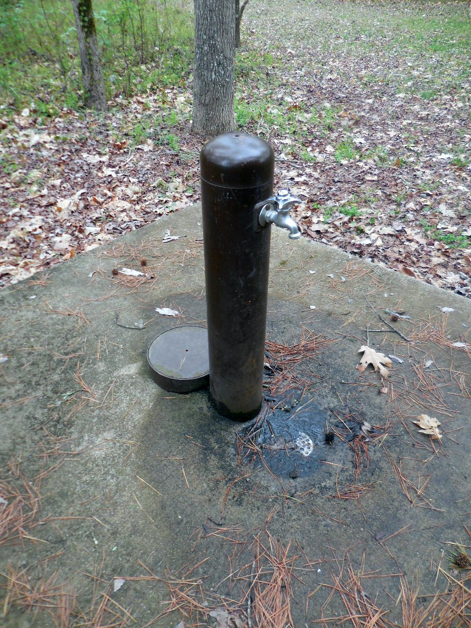
Water Faucet north of "A" Pavilion
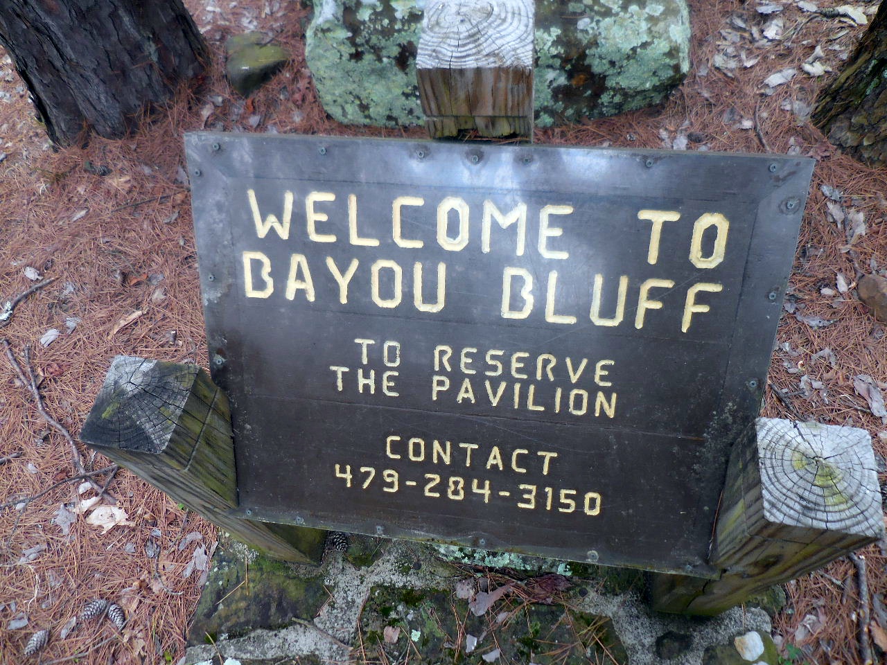
Sign behind Rock
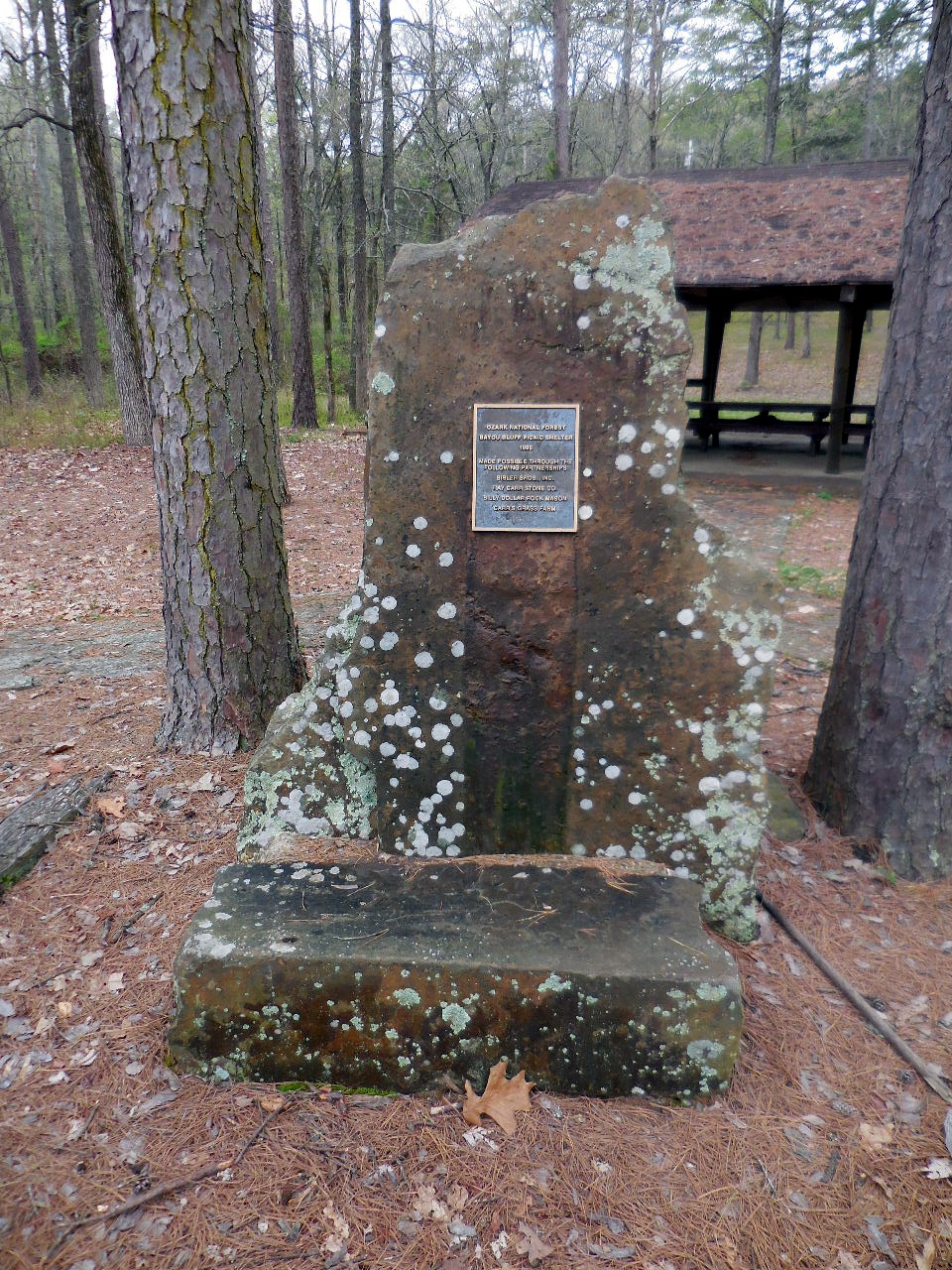
Rock in front of "A" Pavilion

Plaque on Rock
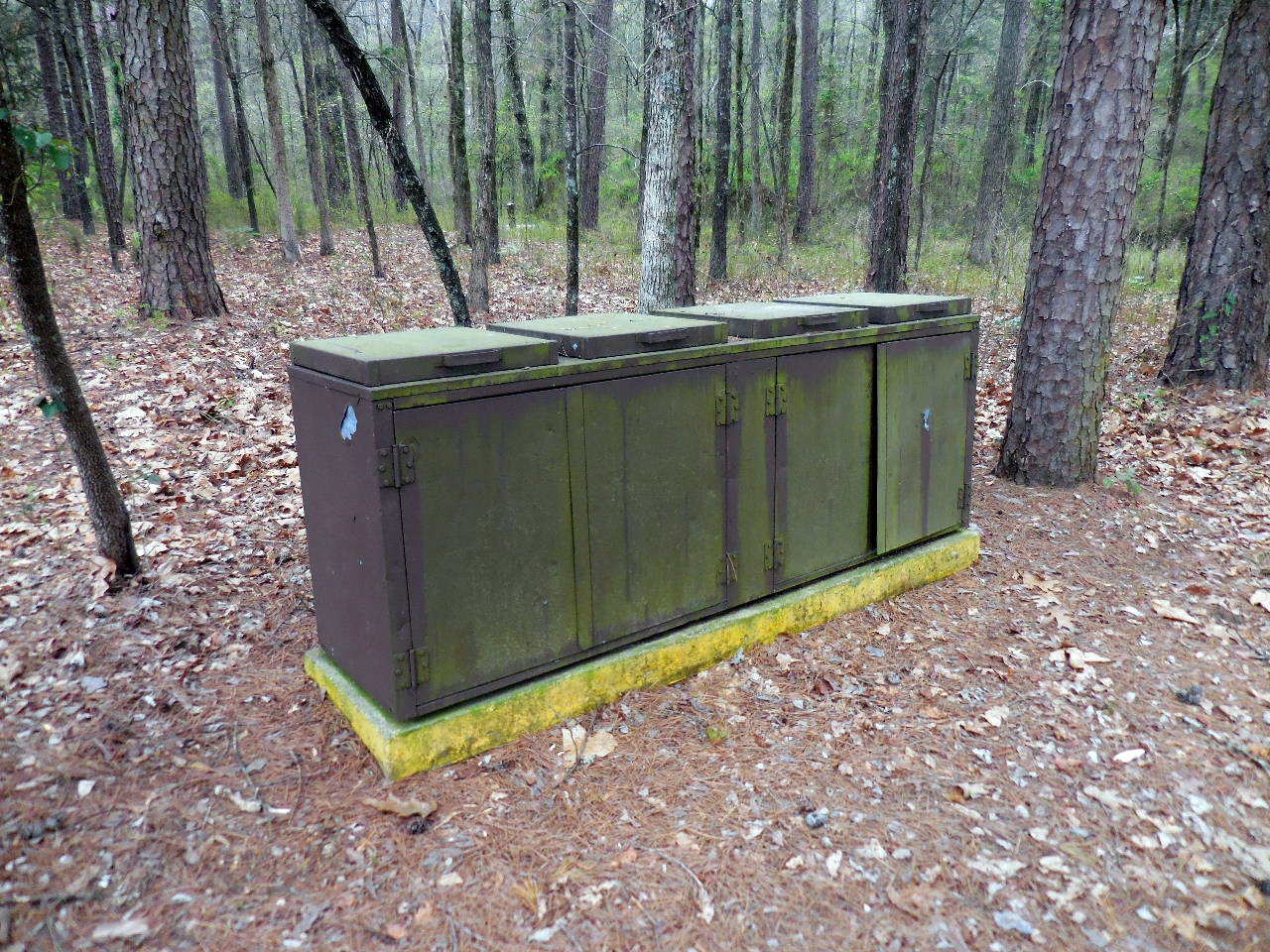
Trash Bins at "A" Pavilion
Trash Bins for campers located between
Table #6 and Bathrooms

Vault Toilets
Women on one end, men on the other end)
35.52358°, 92.94335°
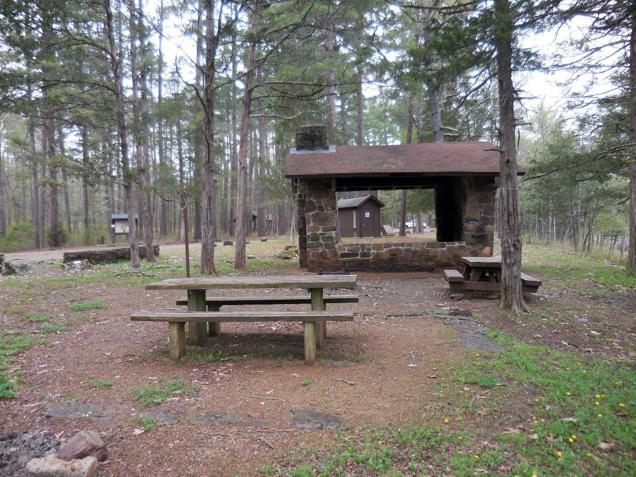
Table #7 (CCC Rock Shelter/Firepit/Extra Table)
35.52341°, 92.94343°
Water with hand pump (South of Table #7)
35.52297°, 92.94351°
(Table #7 in background)
Circle Drive at end of road with Bulletin Board
on right and trail to "B" Pavilion at the far end.

Bulletin Board and Fee Station
(Trail on left leads back to "A" Pavilion)
35.52350°, 92.94362°
Fees: Summer w/water: $10;
Winter w/no water: $7
Trail at end of Circle Drive leading to
"B" Pavilion and Tables # 8, 9 & 10
35.52335°, 92.94375°
Rock Pathway to "B" Pavilion

Rock Bridge and "B" Pavilion
"B" Pavilion
35.52288°, 92.94407°
Trail to the left of "B" Pavilion leads up
to Upper Campgrounds. Trail is CLOSED?
(This trail comes out near Table #1a)
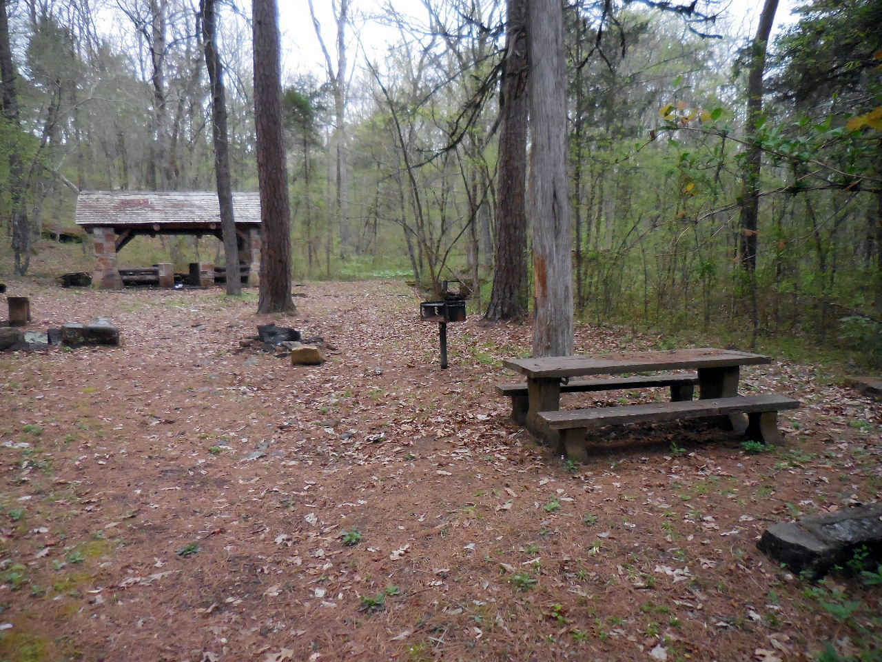
Table #8 (Firepit/Grill)
35.52276°, 92.94389°
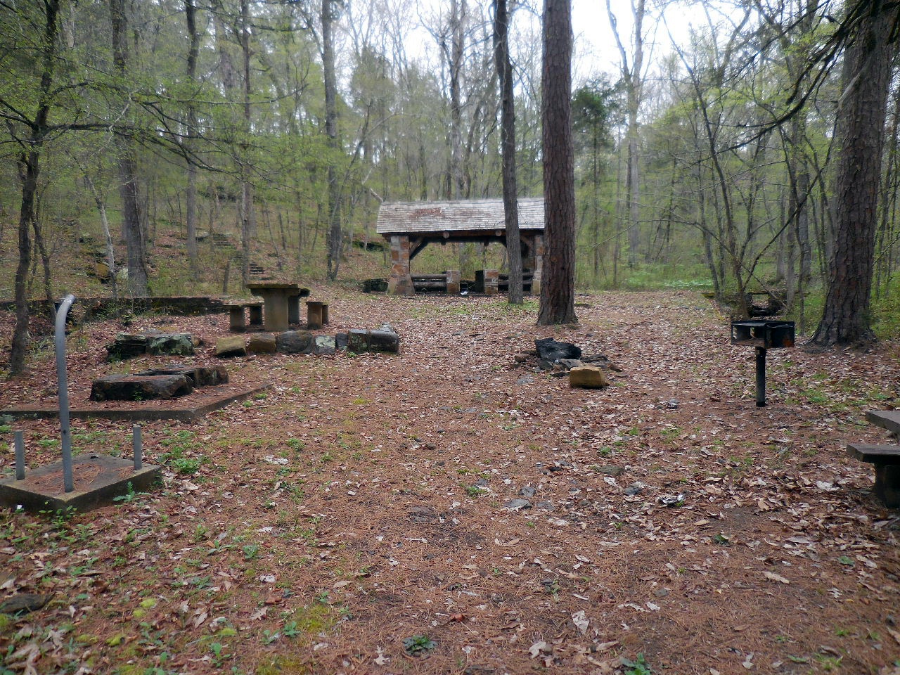
Table #9 (Firepit)
35.52261°, 92.94412°
 \
\Table #10 (Firepit)
35.52254°, 92.94400°
Trail leading up to Upper Campgrounds
from Table #10
Trail leading to Upper Campgrounds
from a Rock Pathway between Table #9
and "B" Pavilion. (See next picture)
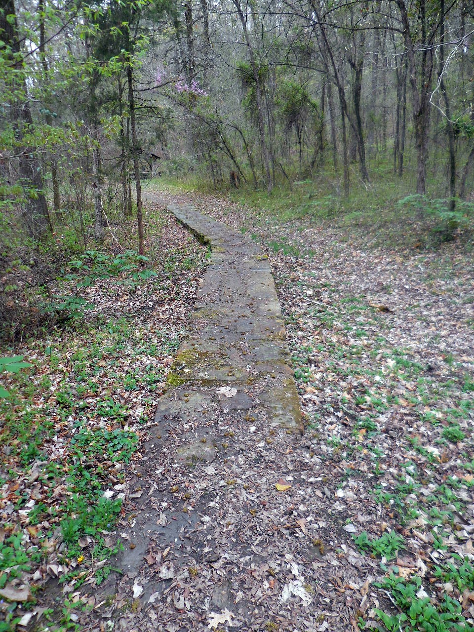
Rock Pathway from Upper Campgrounds
that comes out between Table #9
and "B" Pavilion.
Trail leading to Bayou from Table #8

Trail leading on down to Bayou.
(You can turn left at Bayou and walk
along shore line back to main campgrounds)

Trail heading north from Table #5
35.52427°, 92.94289°
Trail from Table #5
....along the trail heading north....
First view of the Illinois Bayou from the trail.
Intersection of trail heading west to Private Property.
35.52602°, 92.94165°

Trail ends at Private Property
35.52621°, 92.94328°
Now back on main trail and approaching
camping area next to Bayou.
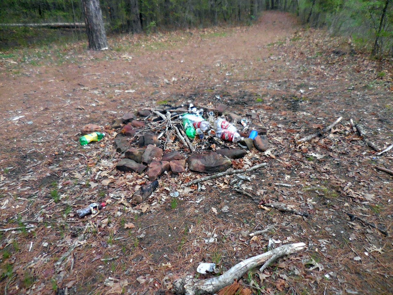
Campsite
35.52725°, 92.94121°
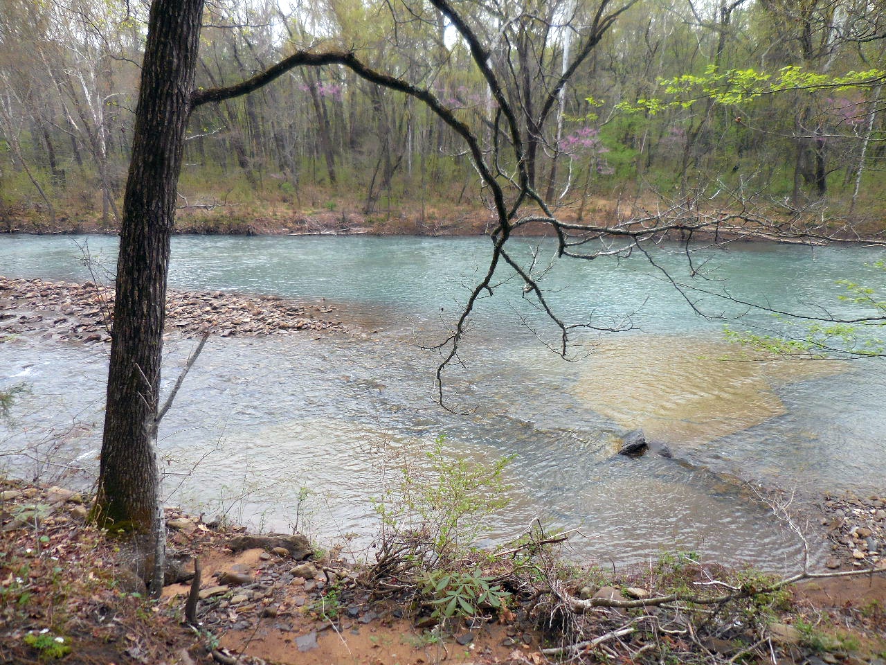
View of Illinois Bayou from campsite.

Approaching Bridge at Hwy. 27

Middle Fork of the Illinois Bayou Bridge on Hwy.27
and parking area.
35.52825°, 92.94176°
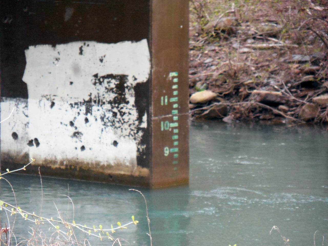
Gauging Station under bridge.