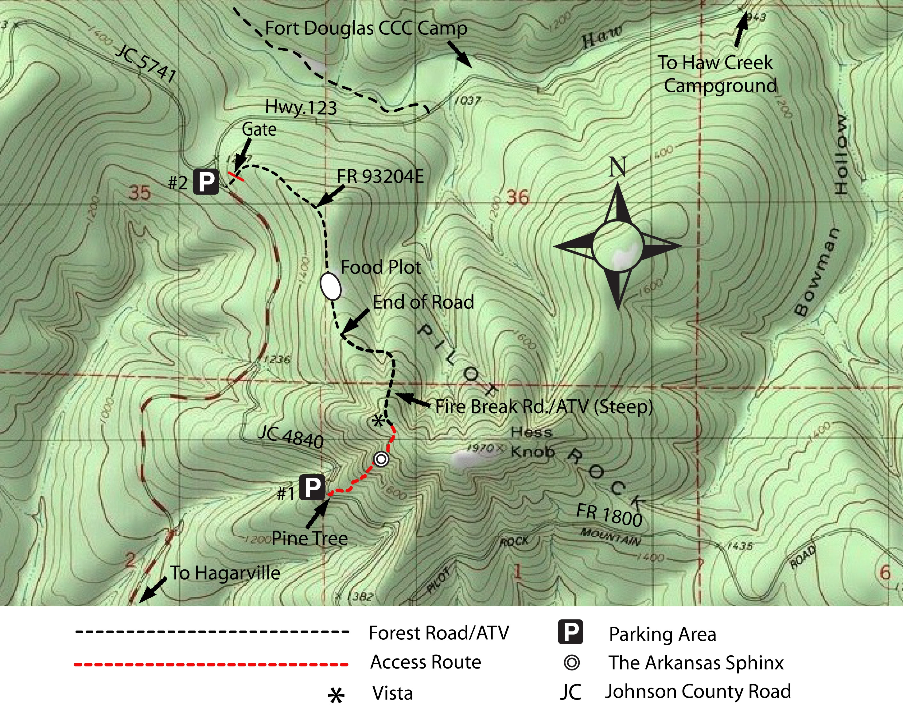

Entrance to JC 4840 from Hwy. 123
(aka FR 1800 and Pilot Rock Mt. Road)
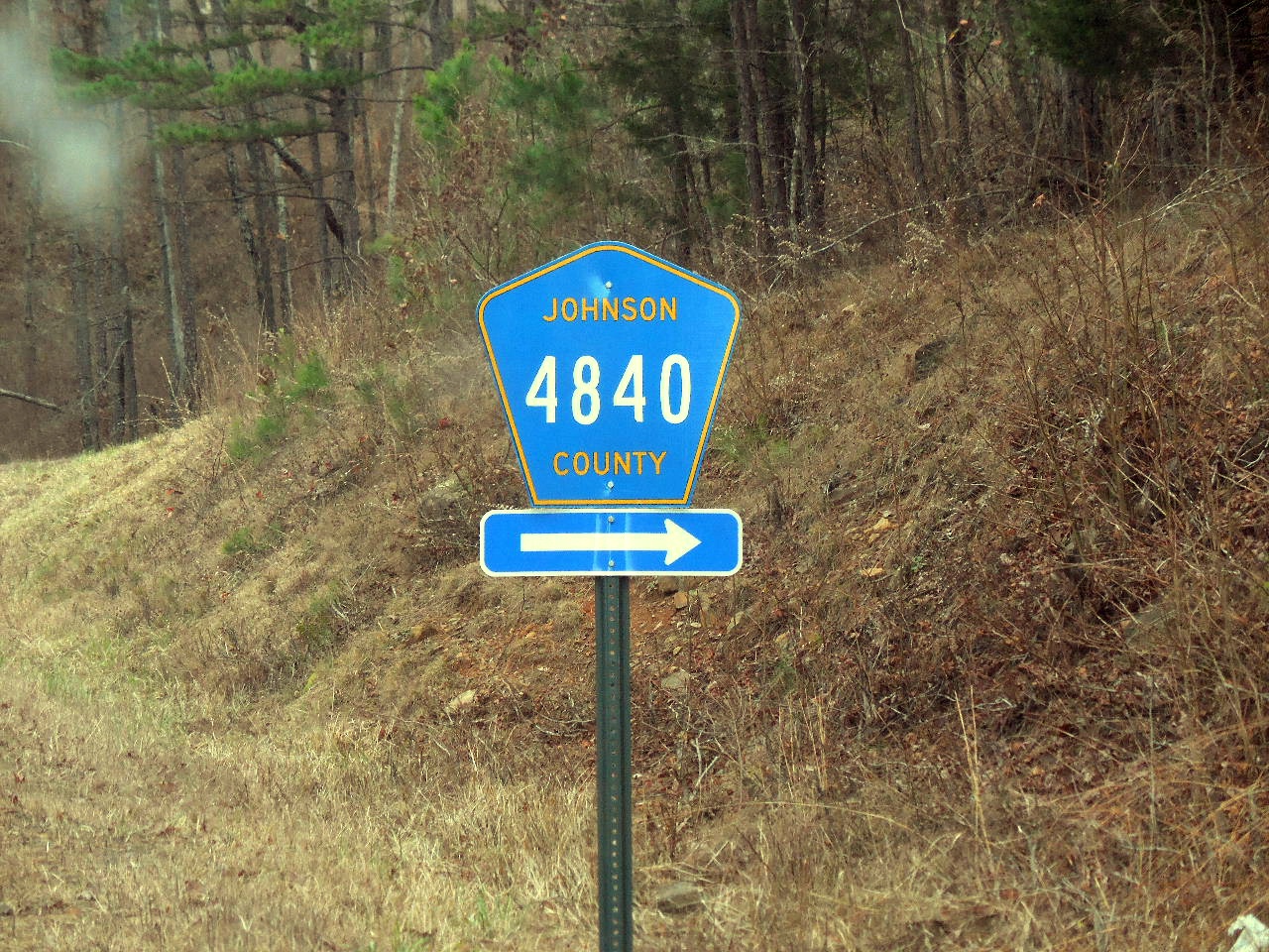
JC 4840 at Hwy. 123
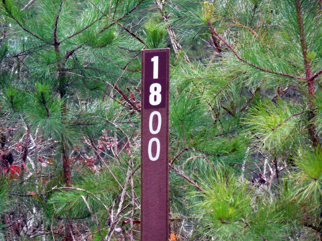
FR 1800 (Pilot Rock Mt. Road)
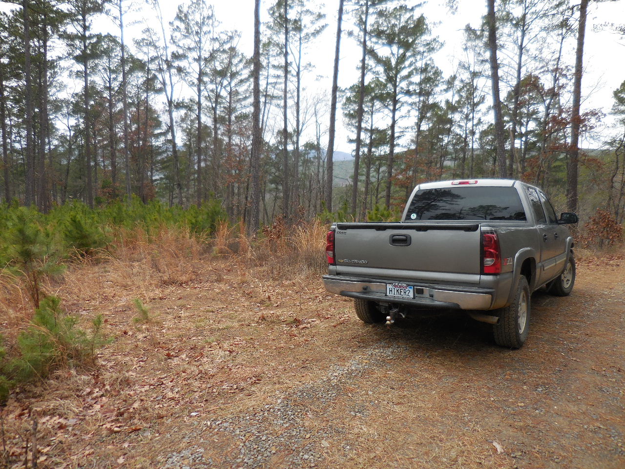
Parking Area #1
35.63921°, 93.29147°
(The Parking Area is 0.5 miles from Hwy. 123
in the curve of JC 4840)
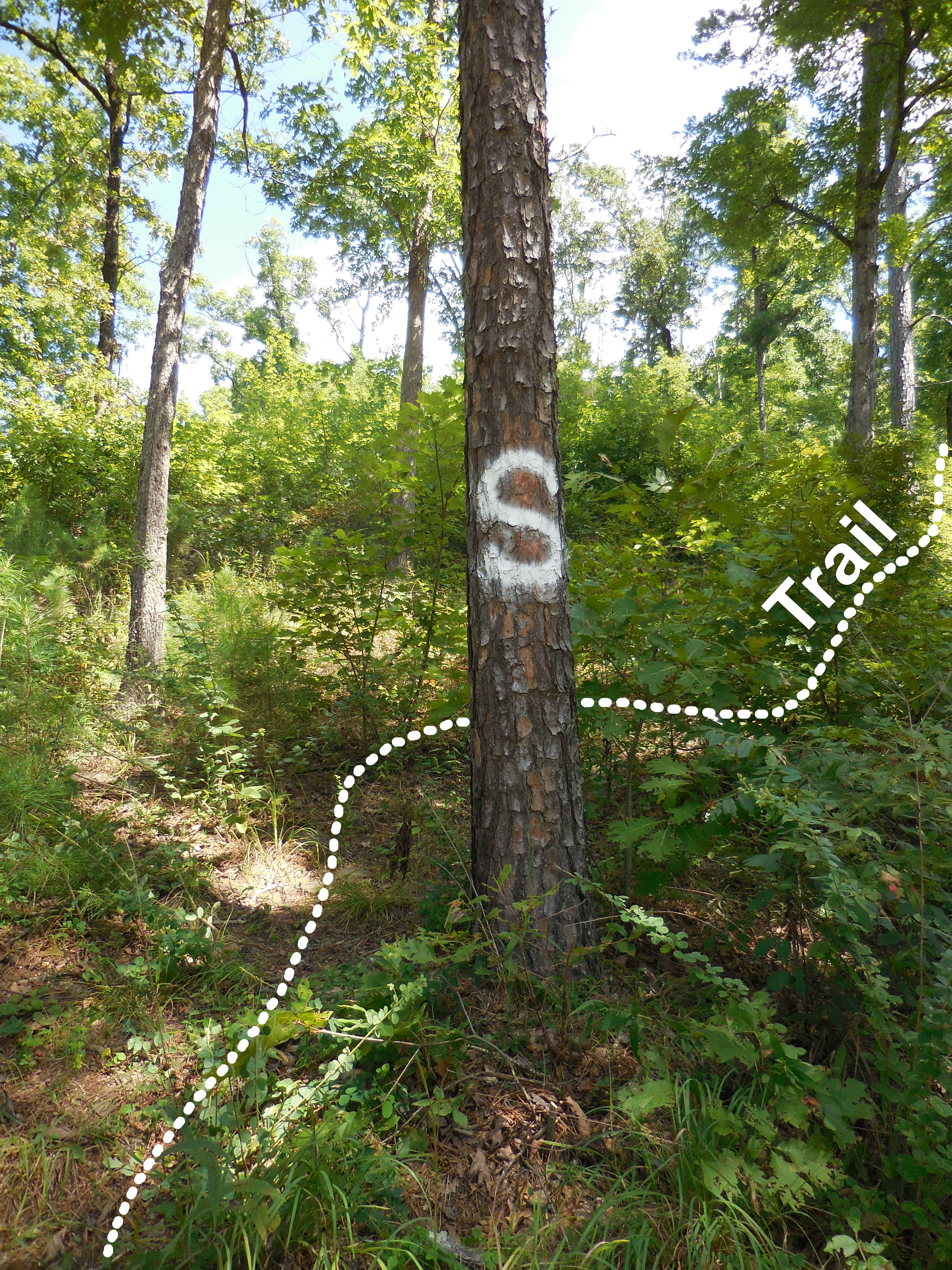
Access Trail (Rock Cairns next to Pine Tree)
35.63911°, 93.29100°
(Approximately 150' East of Parking Area #1)
Trail heads uphill a little to the right of the Pine
Be sure to find the trail before you head
up too far....it will be much easier!
(The trail has been cut out through
the thicket) It is approximately 900'
from the road to the rock.
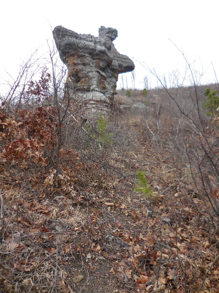
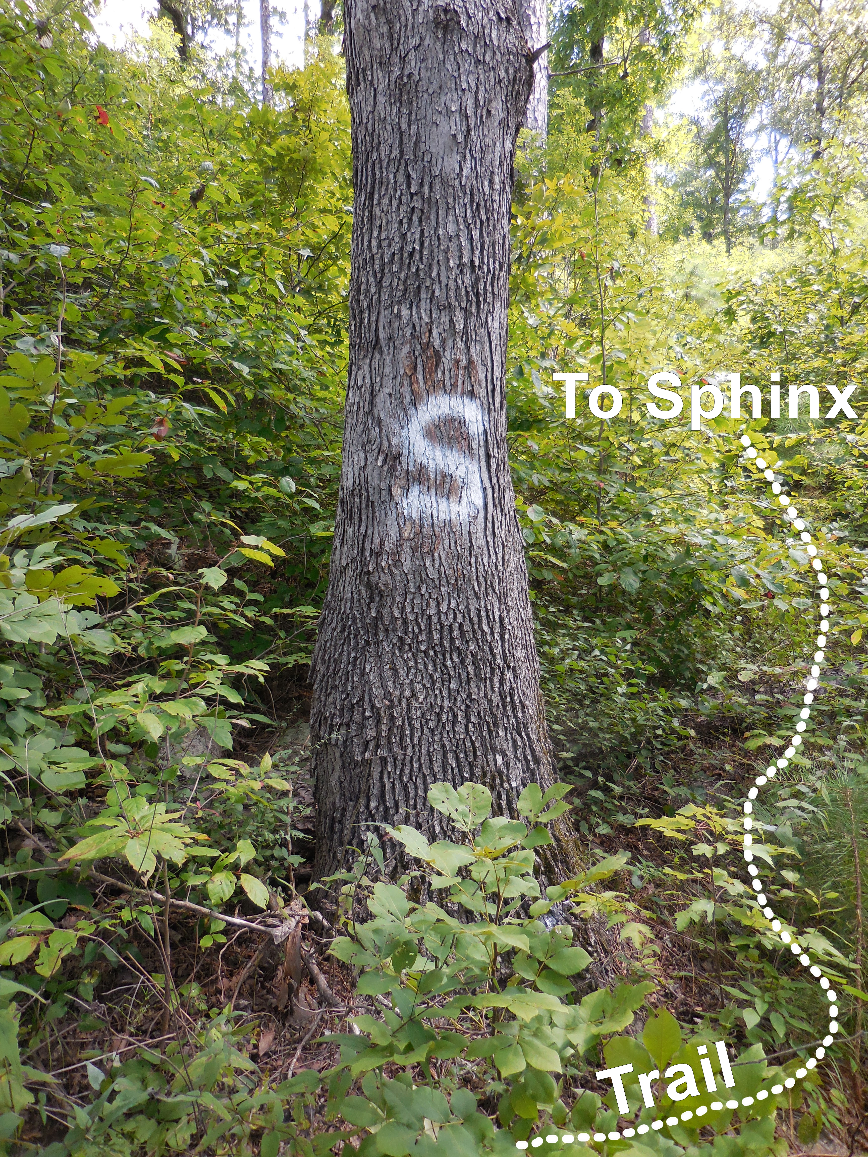
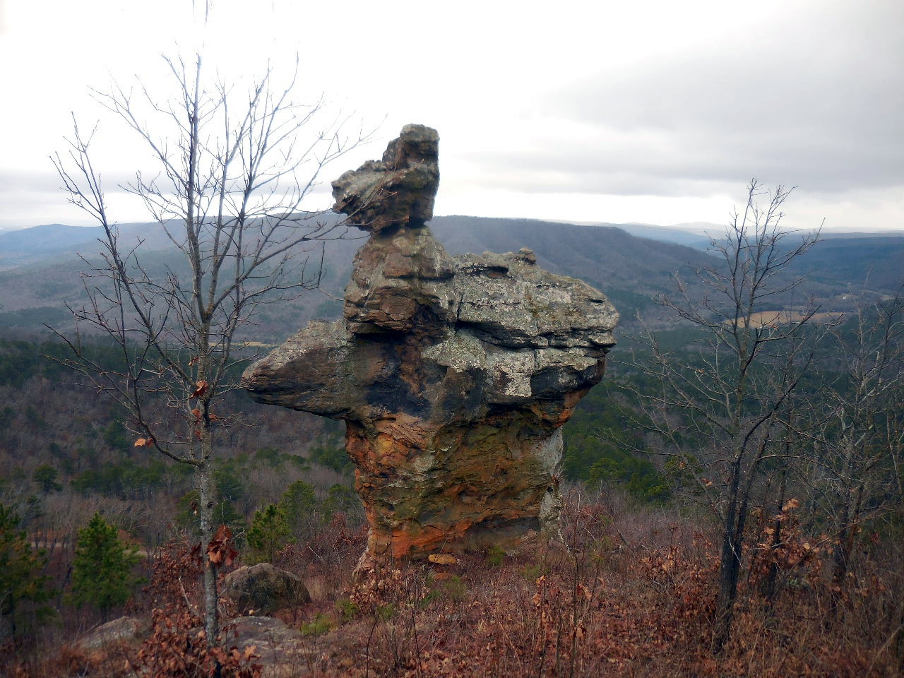
Approaching The Arkansas Sphinx
(The trail is straight up the hillside)

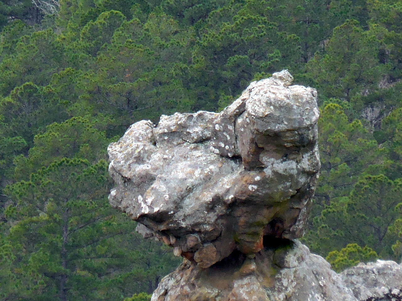
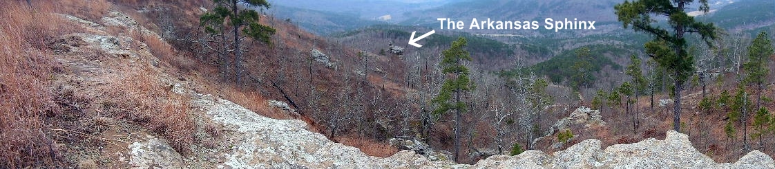
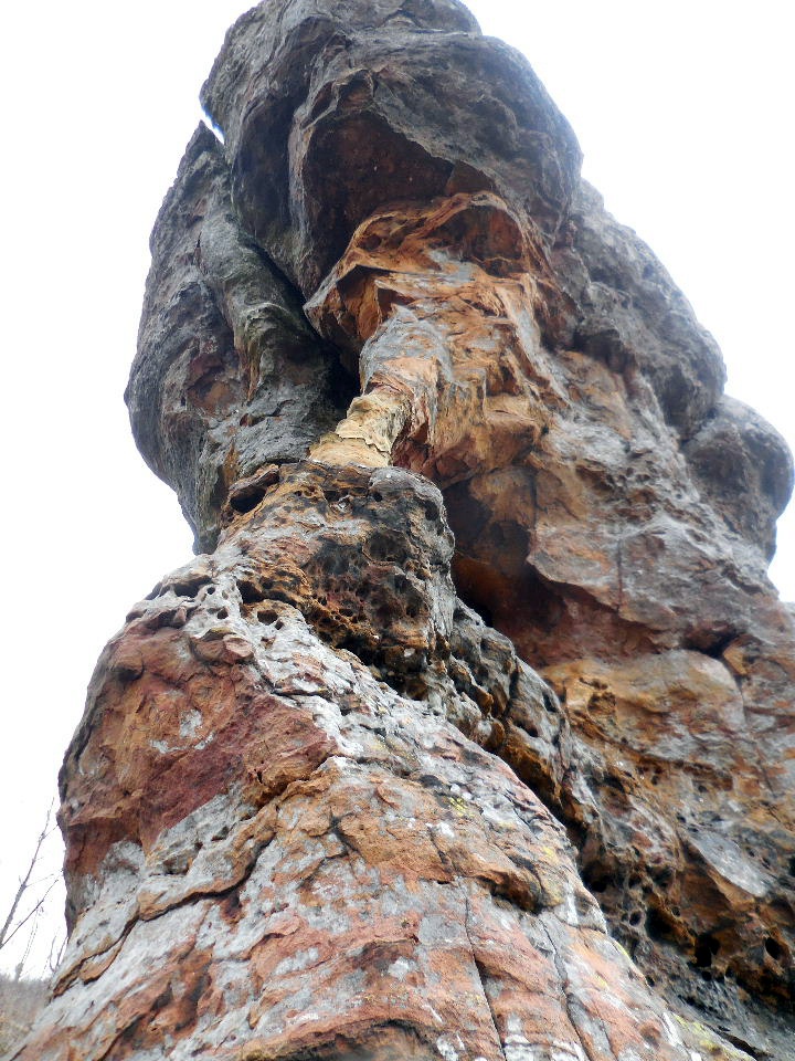
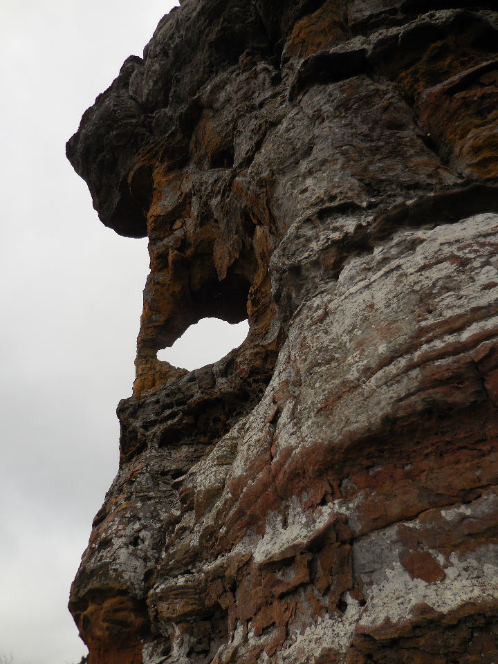
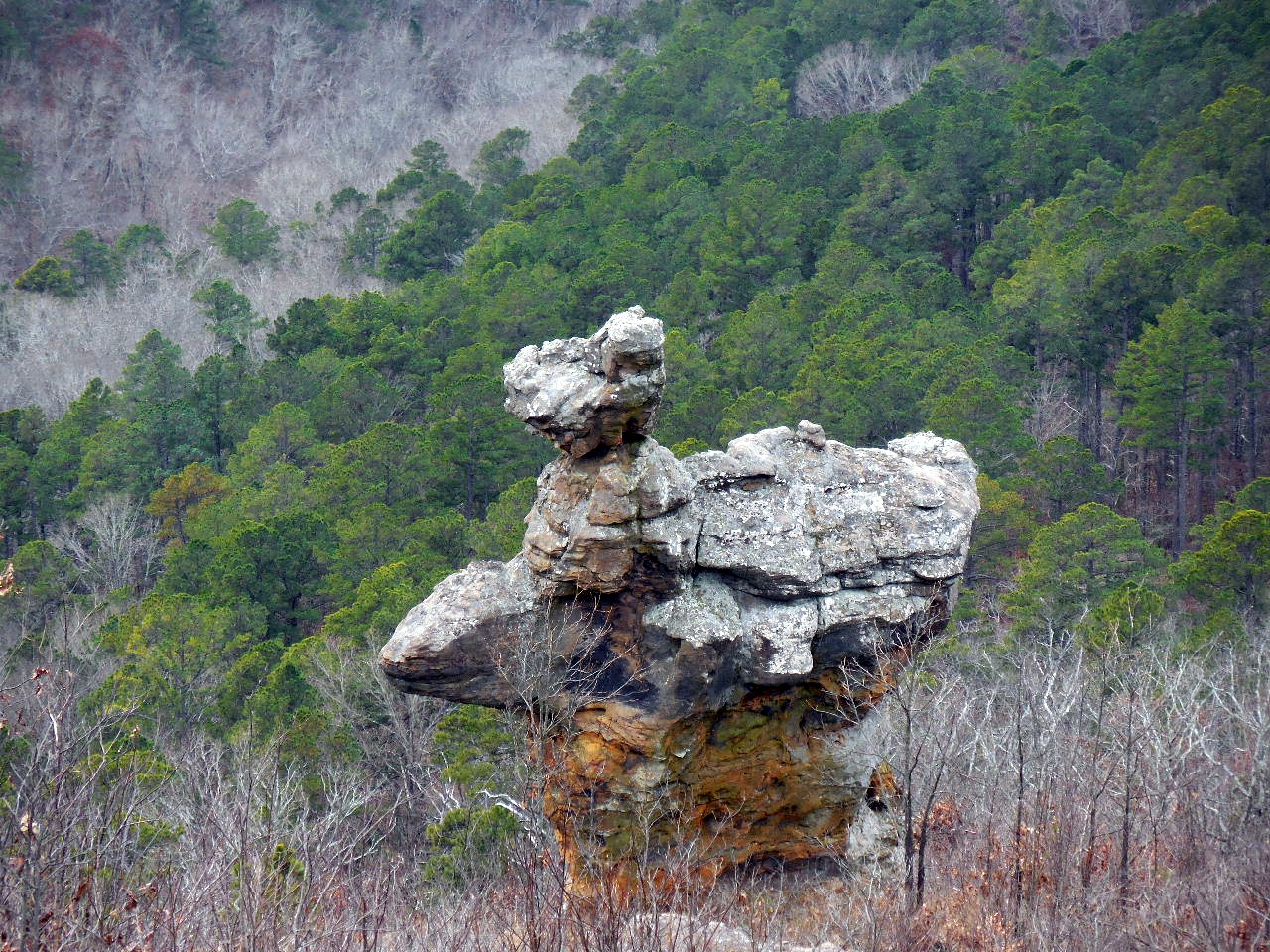
The Arkansas Sphinx - a sandstone monolith
35.64059°, 93.28895°
(Appears on the cover of "Arkansas Nightscapes",
Tim Ernst's newest picture book)
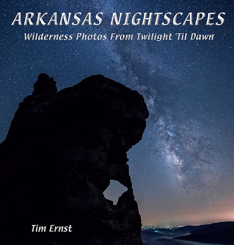
There are four other photos of it
inside the book.
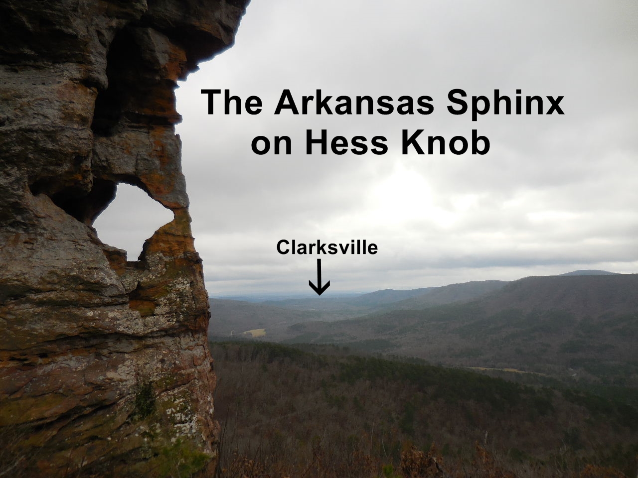
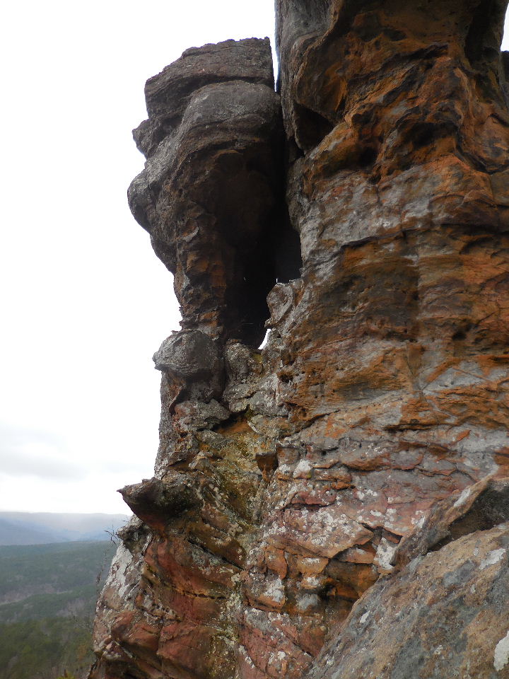
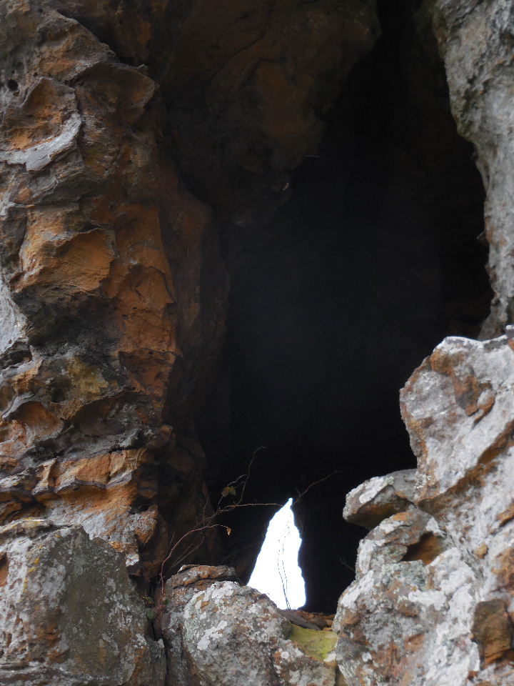
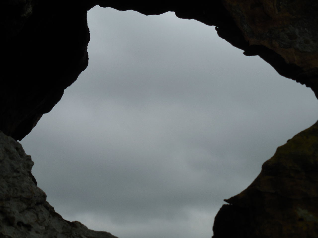
Opening through rock


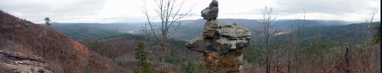
Panoramic View
.jpg)
Parking Area #2
35.65119°, 93.29668°
(At the entrance of JC 5741 & Hwy. 123)

FR 93204E
Just across Hwy. 123 from JC 5741
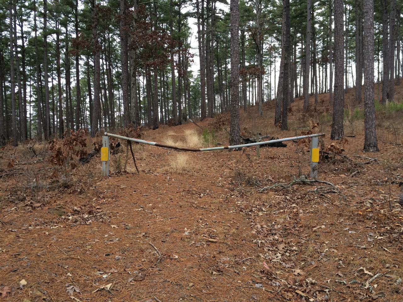
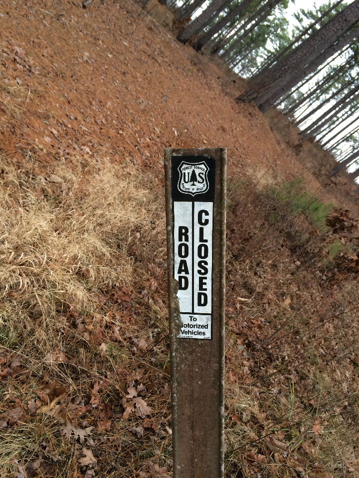
Gate at entrance of FR 93204E
(Road is closed to all motor vehicles)
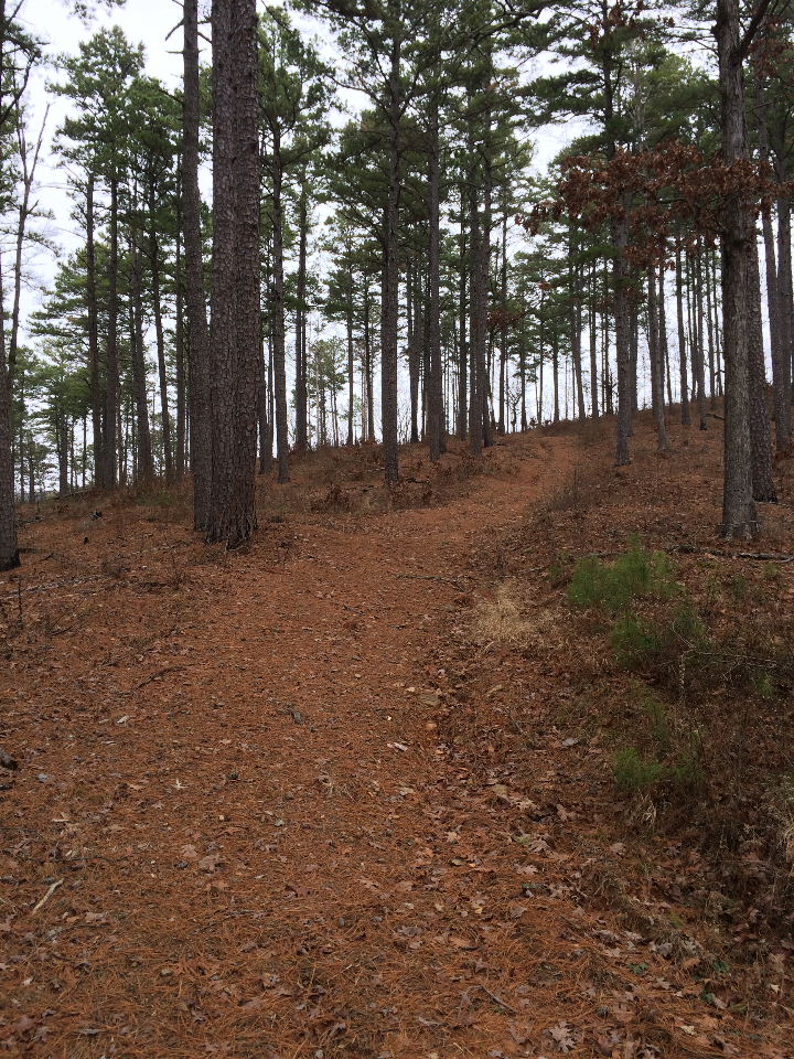
FR 93204E heads uphill and ends
at approximately 0.7 miles. From that point
on, there is a new Fire Break Rd./ATV trail
that leads up to and ends at the Visita.
The last part of the Fire Break Rd. is very steep.
Closed to motor vehicles....but you can hike it.
It is approximately 1-mile to the Vista and
above the The Arkansas Sphinx.
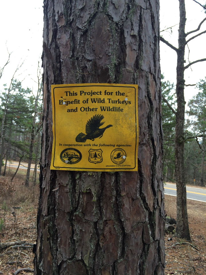
After the recent uncontrolled fire, this area
has been designated for Willd Turkeys and
other wildlife.
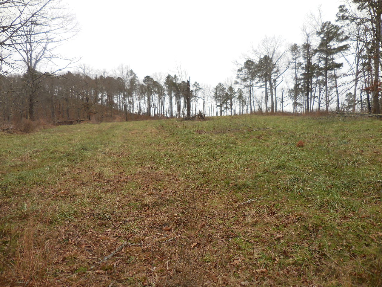
Food Plot
(Road runs through the middle)

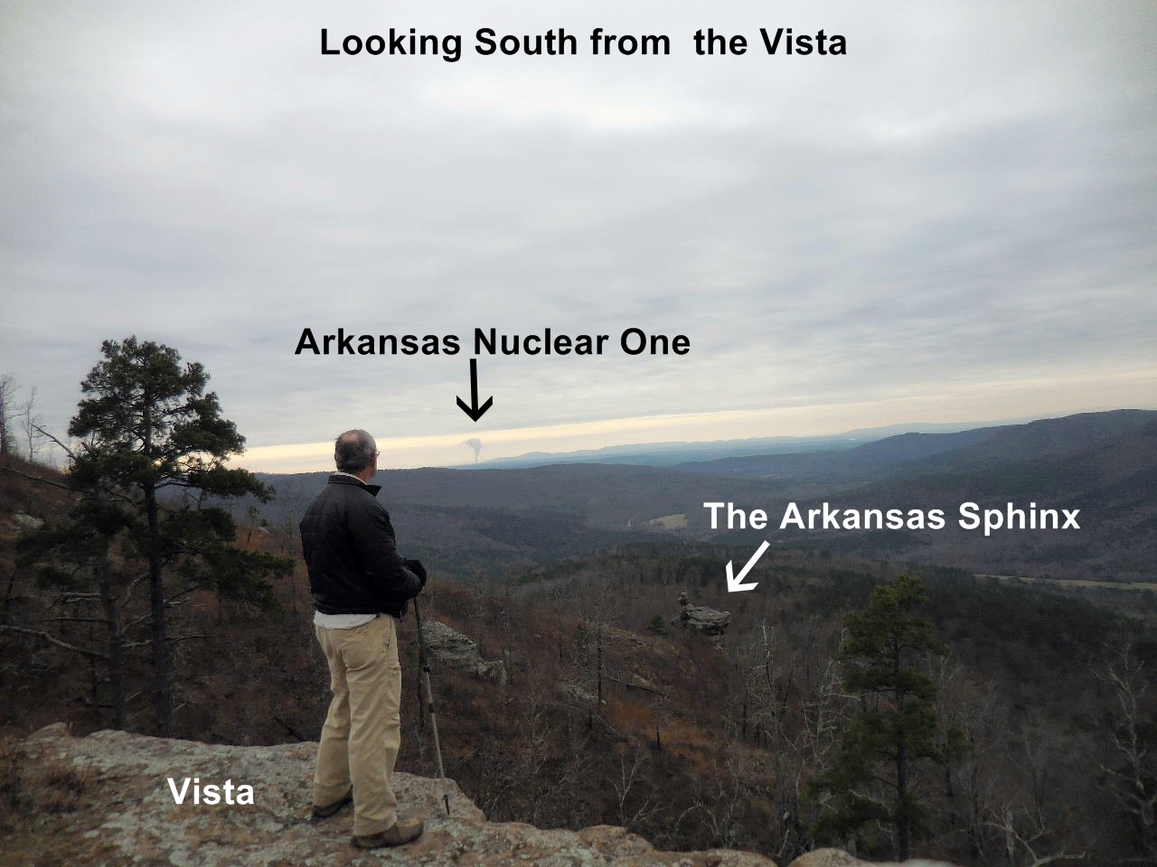
Vista
35.64199°, 93.28872°
Standing on the Vista

Looking Northwest from Vista
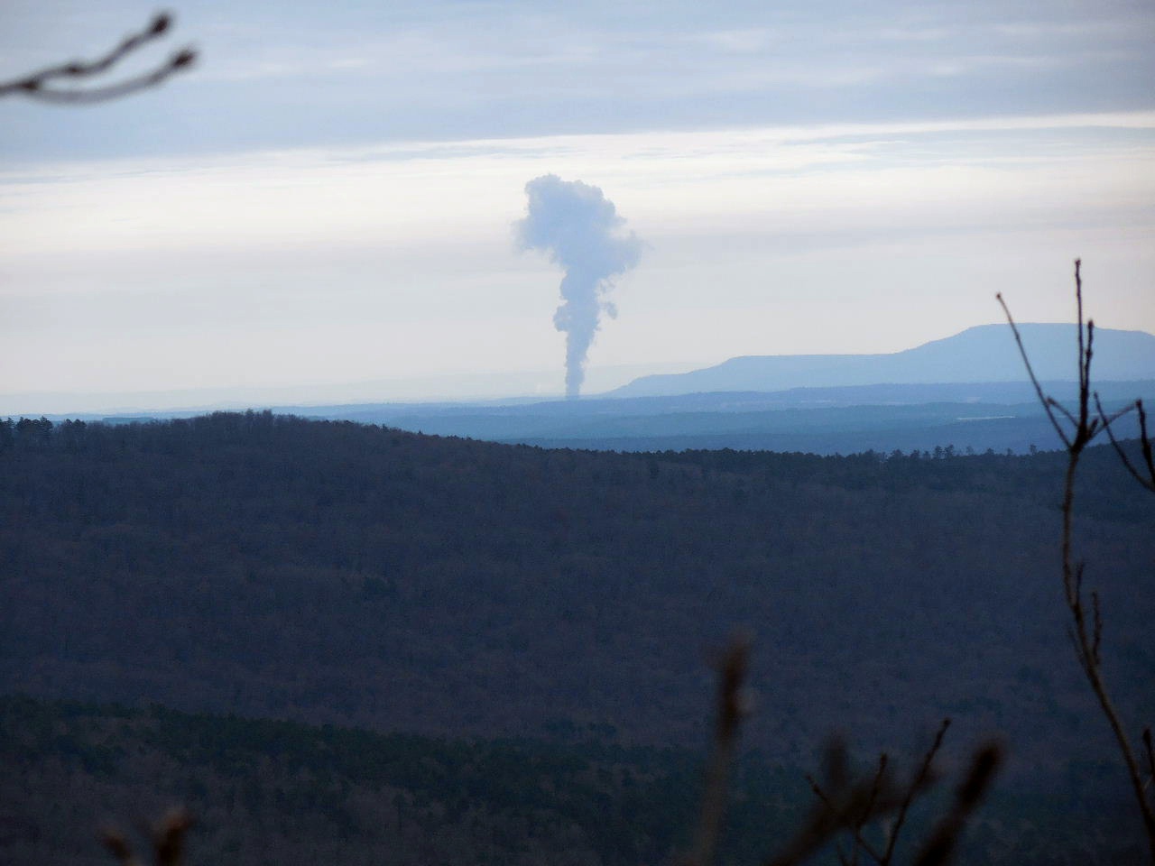
Arkansas Nuclear One from Vista

Looking down at The Arkansas Sphinx

The Top of The Arkansas Sphinx