|
_small.jpg)
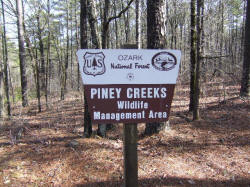
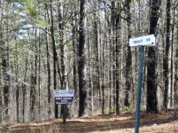
Parking Area "E" 35.52971°, 93.14613°
|
|
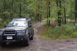
Parking Area "A"
35.54193°, 93.11980°
FR 93230A |
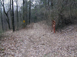
Gate
35.54132°, 93.12238°
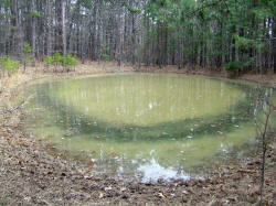
Pond
|

Parking Area "B" (FR 1801)
35.53035°, 93.12455°
FR 93230F |
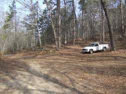
Parking Area "C"
35.53232°, 93.14928°
FR 1803 |
Parking Area "D"
and Campsite
35.53140°, 93.14805° |
|
|
|
|
|
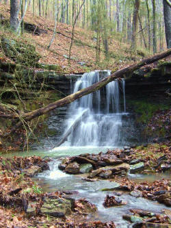
WF #1
35.53893°, 93.12128°
|
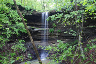
#2 Balcony Falls 35.53745°, 93.12187°
(Named by Brian Emfinger)
|
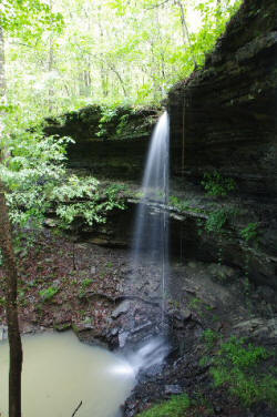
WF #2 Balcony
Falls
|
|

WF # 3
35.53588°, 93.12208°
|
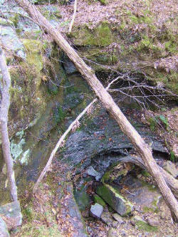
WF #4 35.53952°,
93.12910°
|
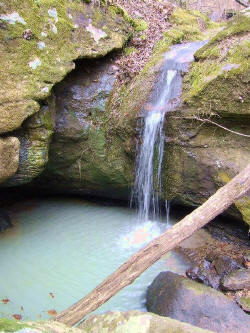
WF #5 35.54147°,
93.13060°
|
|
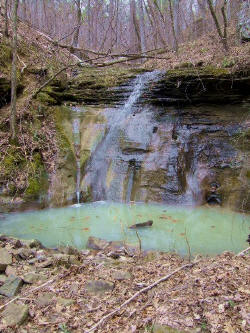
WF #5A (Between WF #5 &
6)
|
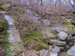
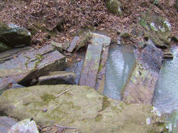
WF #6 35.54202°,
93.13138°
|

WF #7 35.54373°,
93.12877°
|
|
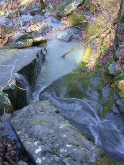
WF #9 Top View
|

WF #9 35.53520°,
93.12508°
|
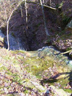
WF #10 (26') 35.53317°,
93.12677° Top View
|
|
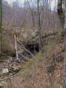
WF #8 35.54448°,
93.12878° (No water)
|
_small.JPG)
WF #11 35.53307°,
93.12622°
|

WF #12 35.53283°,
93.12602° Twin
Falls
|
|
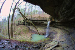
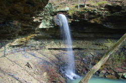
Rough Falls
|
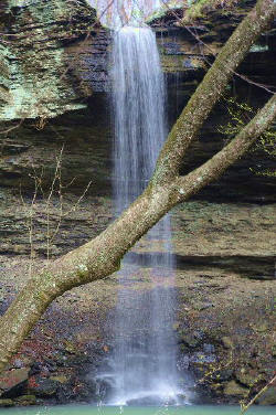
WF #13 (42') Rough
Falls 35.53342°, 93.14502°
|
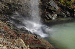
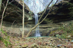
Rough Falls
|
|
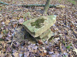
Rock Cairns to Rough
Falls
35.53305°, 93.14527°
|
_small.JPG)
WF #14 Ten Tier Falls
35.53680°, 93.14552°
|
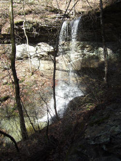
WF #15 35.54088°,
93.14328°
|
|
_small.JPG)
WF #16 (32') Rat Snake
Falls 35.53265°, 93.14147°
|
_small.JPG)
_small.JPG)
WF #17 Big Rock Falls 35.53345°,
93.14130°
|
_small.JPG)
WF #18 (38') Trigg
Falls 35.53445°, 93.14057°
|
|
|
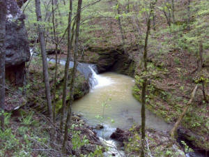
WF #20 Un-named
35.53168°, 93.13810° |
|
|
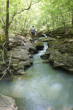
#19 Rough Hollow Slots
|
_small.JPG)
_small.JPG)
#19 Rough Hollow Slots 35.53132°,
93.14452°
|
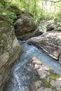
#19 Rough Hollow Slots
|
|
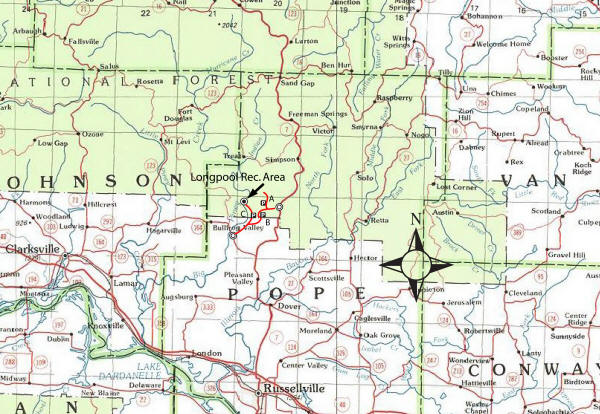
Location Map |
Driving
Directions: From
Russellville
(I-40) take Hwy. 7 north, through
Dover, 12.6 miles to Hwy. 164; take Hwy. 164, west, 3.4 miles to
Forest Road 1801 (Old Hwy. 7); turn right on FR 1801 and go 3.5 miles,
along FR 1801 and FR 1804 to Parking Area "C" which is FR 1803 on right.
From Hwy. 7,
19.4 miles north of 1-40, take FR 1801 (Old Hwy. 7) 1.4 miles to the
intersection of FR 1801 (Old Hwy. 7) and Treat Road; to get to Parking
Area "A" turn right
on Treat Road and go 0.2 miles and part on left at FR 93230A; to get to
Parking Area "B" turn left at previous mentioned intersection and
continue on
FR 1801 and go 0.7 miles and park on right at FR 93230F;
|
_small.jpg)


