.jpg)
| TAKAHIK River Valley Hikers |
| Home Scheduled Hikes Pictures Videos Membership Links Trails & Waterfalls Mushrooms Products In Memory Of |
| VICTOR INDIAN CAVE |
.jpg) Victor Road / Hwy. 7 (FR 1000, Co. Ro. 17) 35.65241°, 93.06380° |
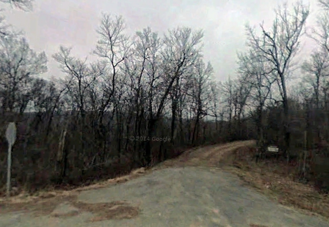
.jpg) Victor Road / Sulphur Road Intersection 35.65149°, 93.00312° |
 Sulphur Road / Hwy. 16 (FR 1809, Co. Rd. 180) 35.71976°, 93.08463° |
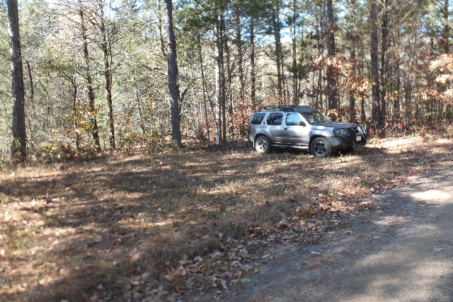 Parking Area "A" 35.66923°, 93.01897° |
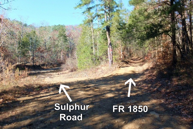 |
 Entrance of FR 1850 |
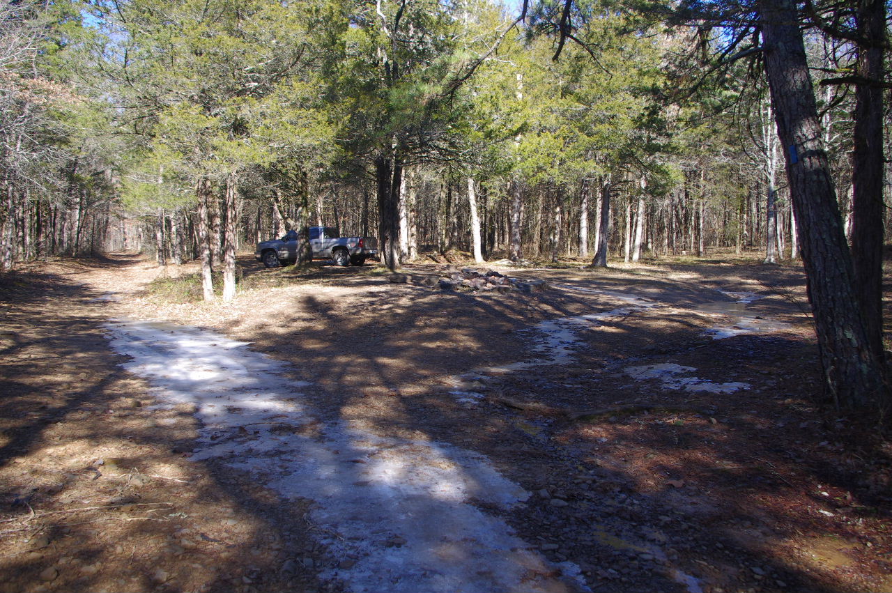 Parking Area "B" and Campsite 35.67125°, 93.01987° (Just east of The Mill Hole) |
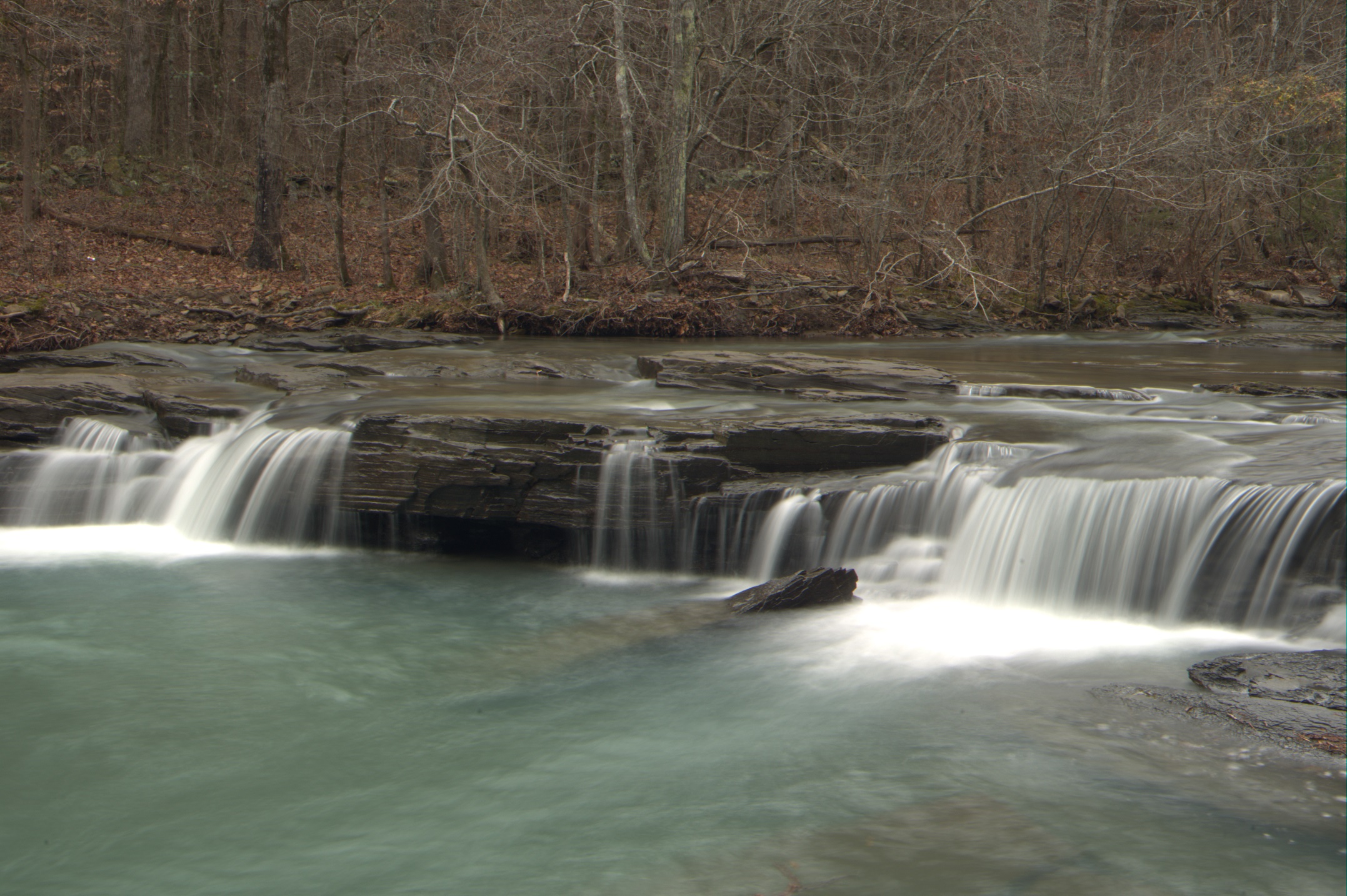 WF #1 The Mill Hole 35.67097°, 93.02012° |
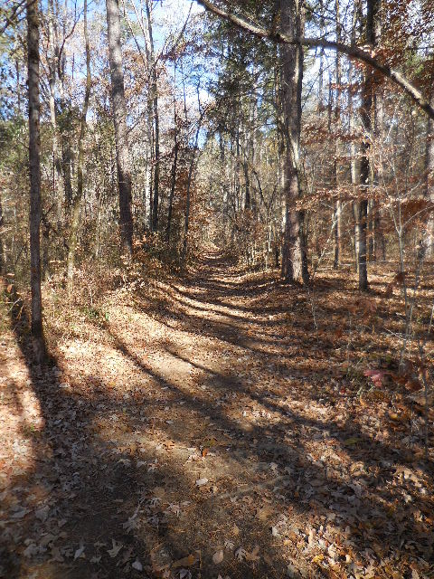 FR 1850 (Horse Trail) |
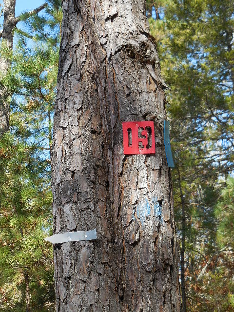
 Horse Trail leaving FR 1850 35.67455°, 93.01996° (Marked with white markers) |
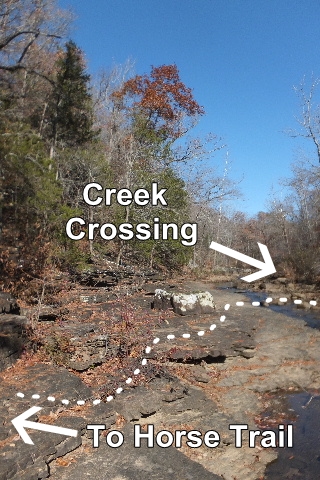
Creek Crossing 35.67487°, 93.02102° |
 Horse Trail (Follow white markers to top of mountain and vista) |
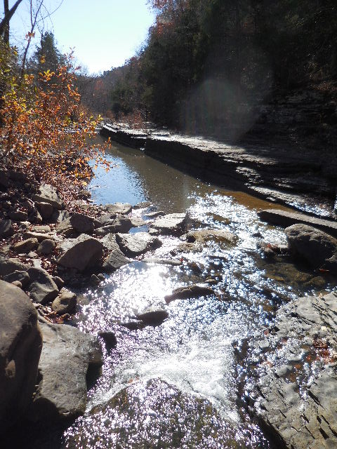 Looking south down NF Illinois Bayou |
 Cut-out in rock shelf |
 Looking north up side creek |
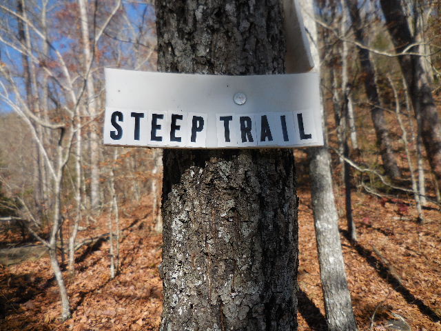 Plastic White Markers (Yes, it's steep!) |
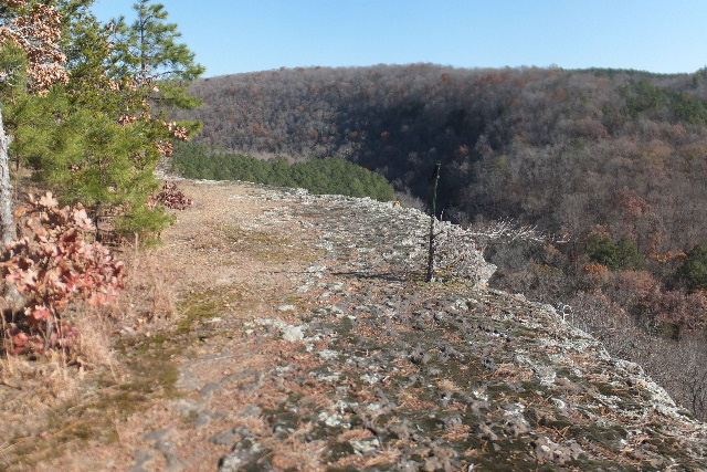 On top of Vista looking East (Horse Trail comes out to Vista) |
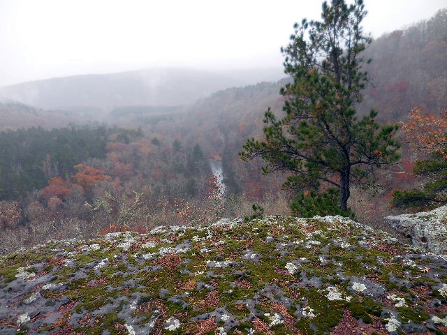 Vista 35.67602°, 93.02068° Looking south down North Fork Illinois Bayou |
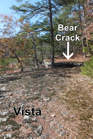 Bear Crack leads to Victor Indian Cave |
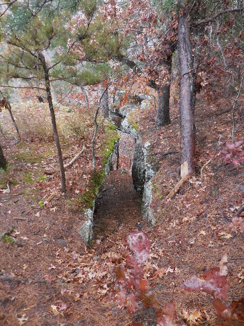 Bear Crack |
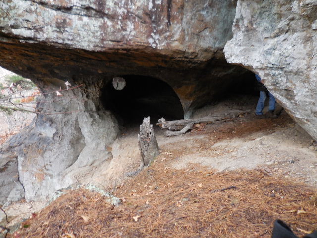 Victor Indian Cave 35.67600°, 93.02085° |
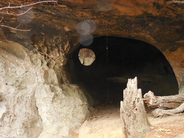 Left side cave |
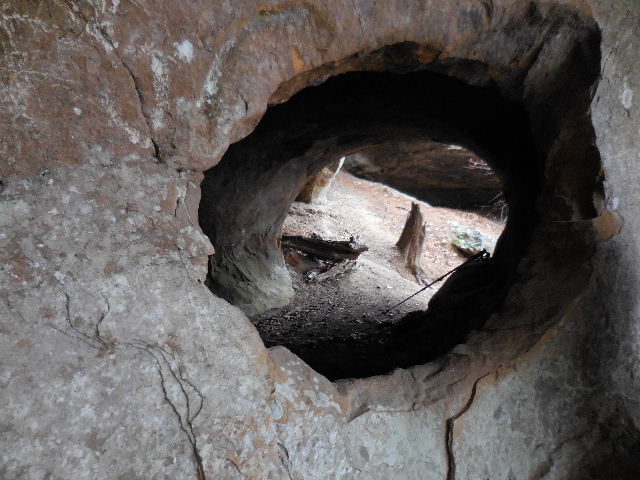
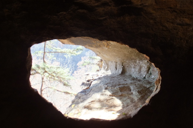 Chiseled Hole to outside |
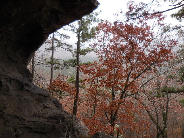
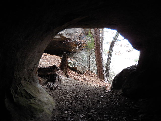 Inside looking out |
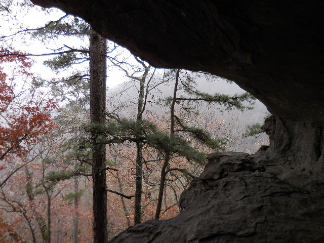
 Looking from outside through chiseled hole |
 From outside looking South |
 From outside looking South |
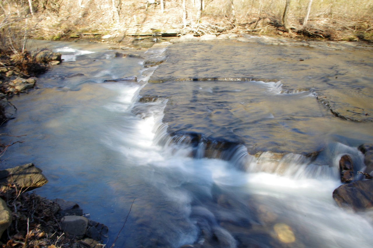 WF #2 Slap Falls 35.67557°, 93.01840° |
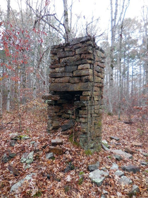 Old Housesite 35.65630°, 93.00003° |
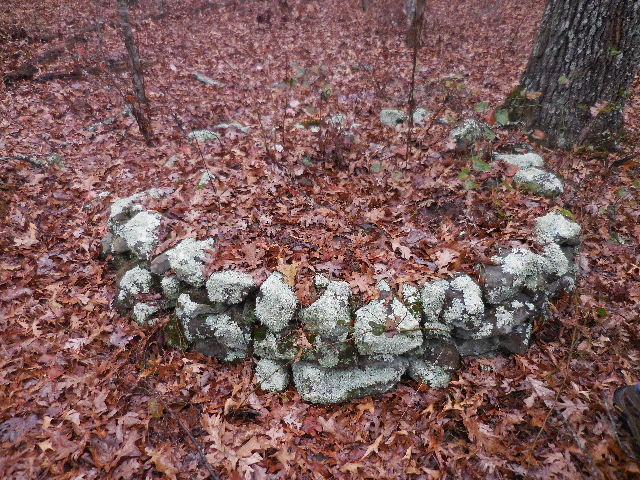 Old House Site |
.jpg) |
.jpg) |