.jpg)
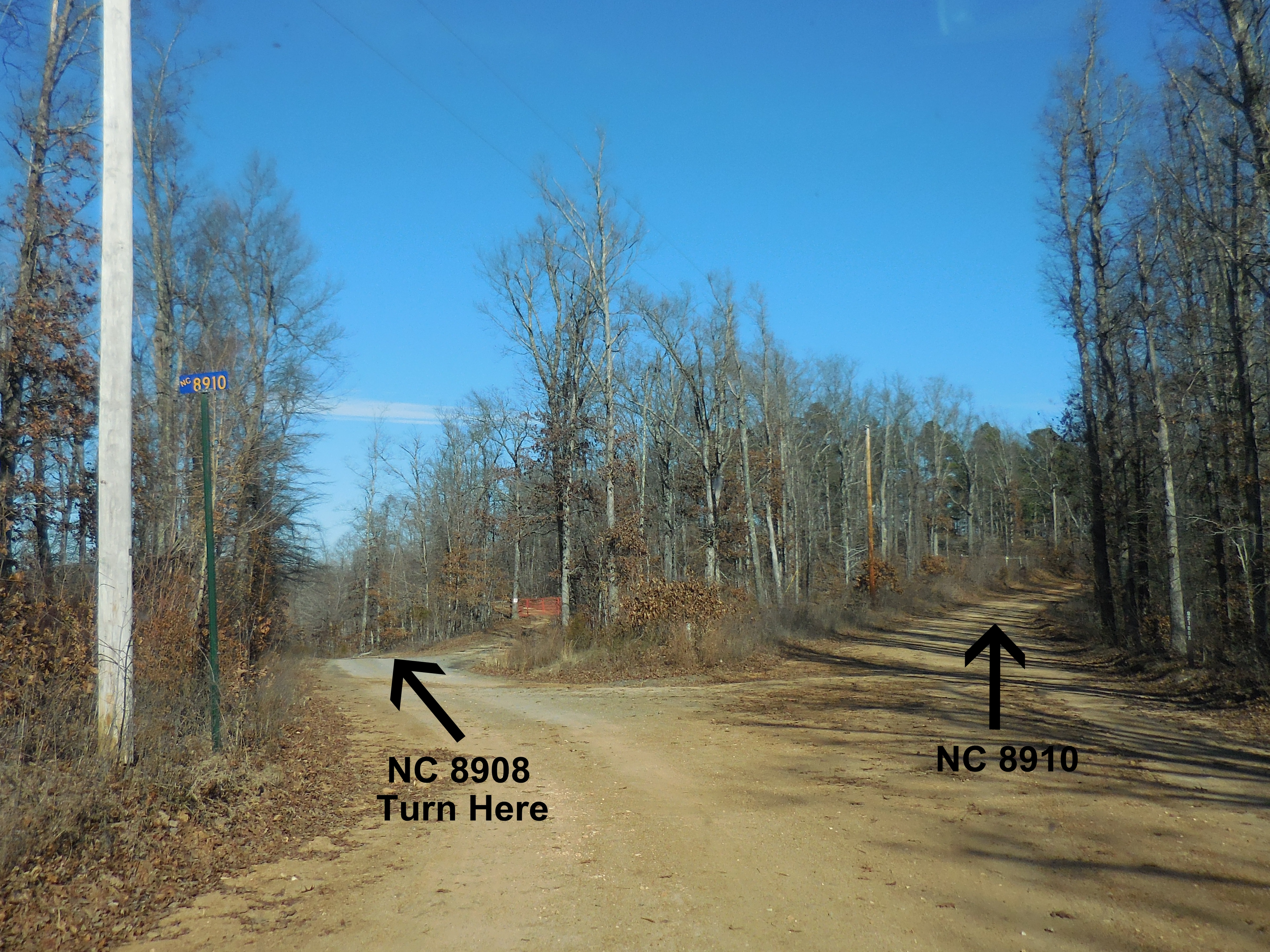
Intersection of NC 8908 & 8910
Parking Area #1
Entrance to FR 92155E1
35.85505°, 93.30051°
(Do not completely block road, leave room for a
ATV to get by)
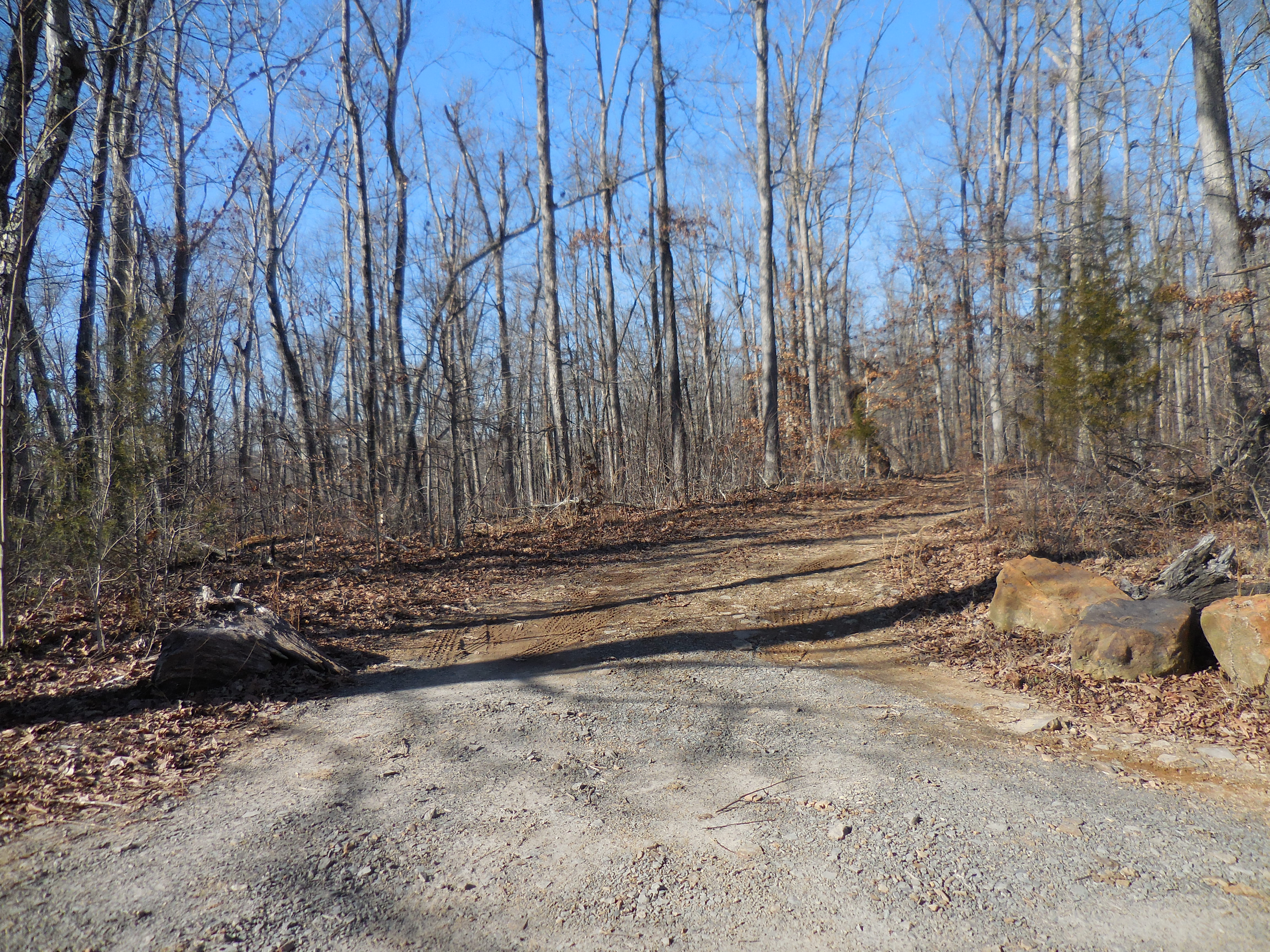
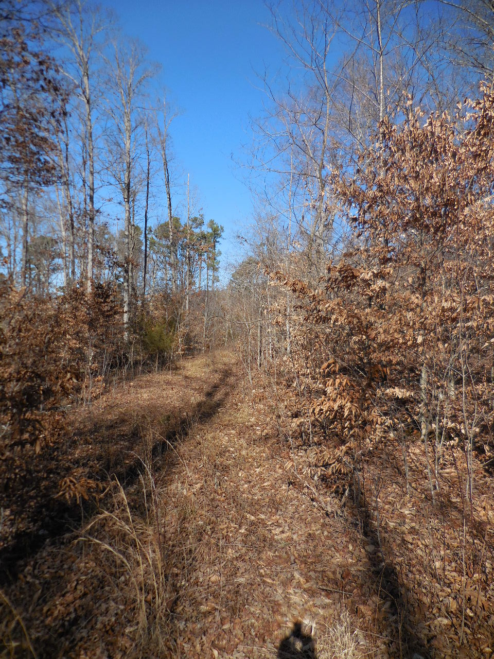
FR 92155E1
ATV or Foot Traffic Only
(0.21 miles from parking area)
35.85788°, 93.30120°
This would be a short cut out of
Stepp Creek side drainage.

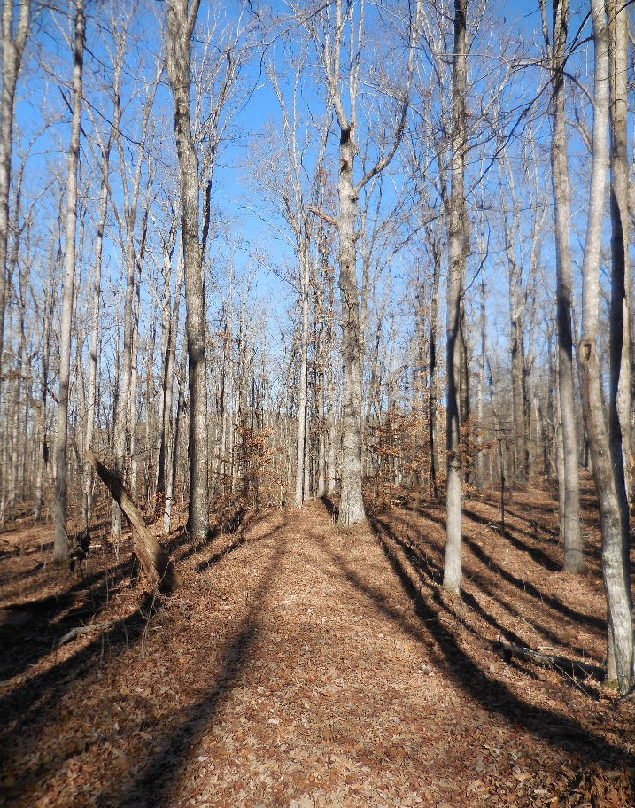
Access "B" Point Down
(0.54 miles from parking area)
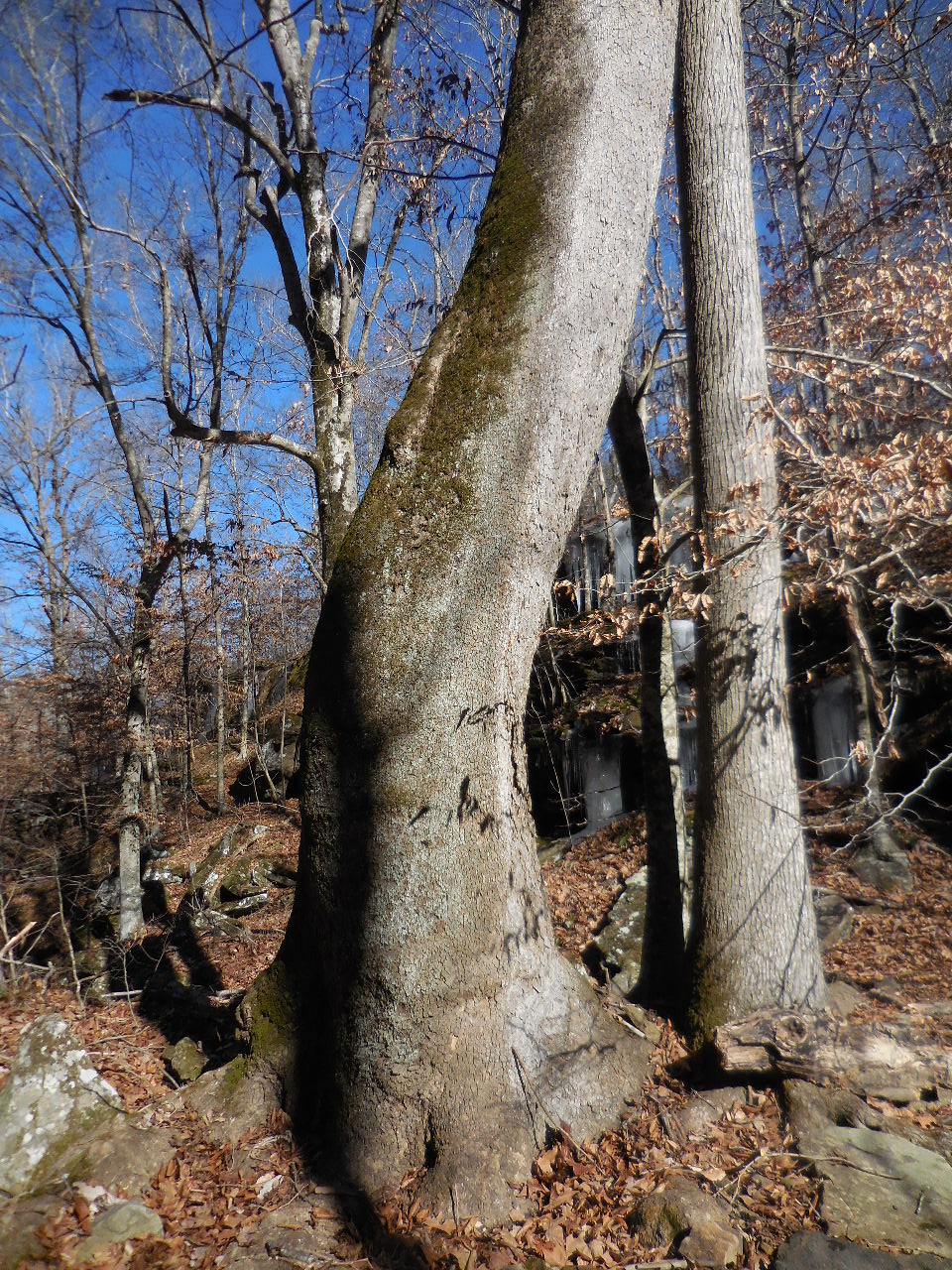
(Rock against White Oak Tree)
35.85933°, 93.30650°
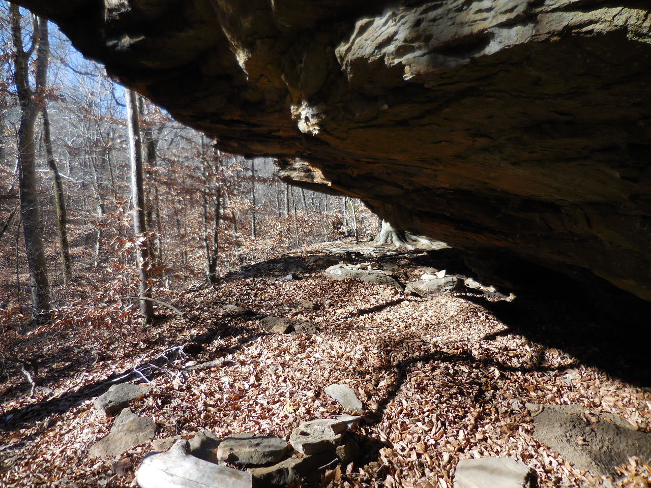
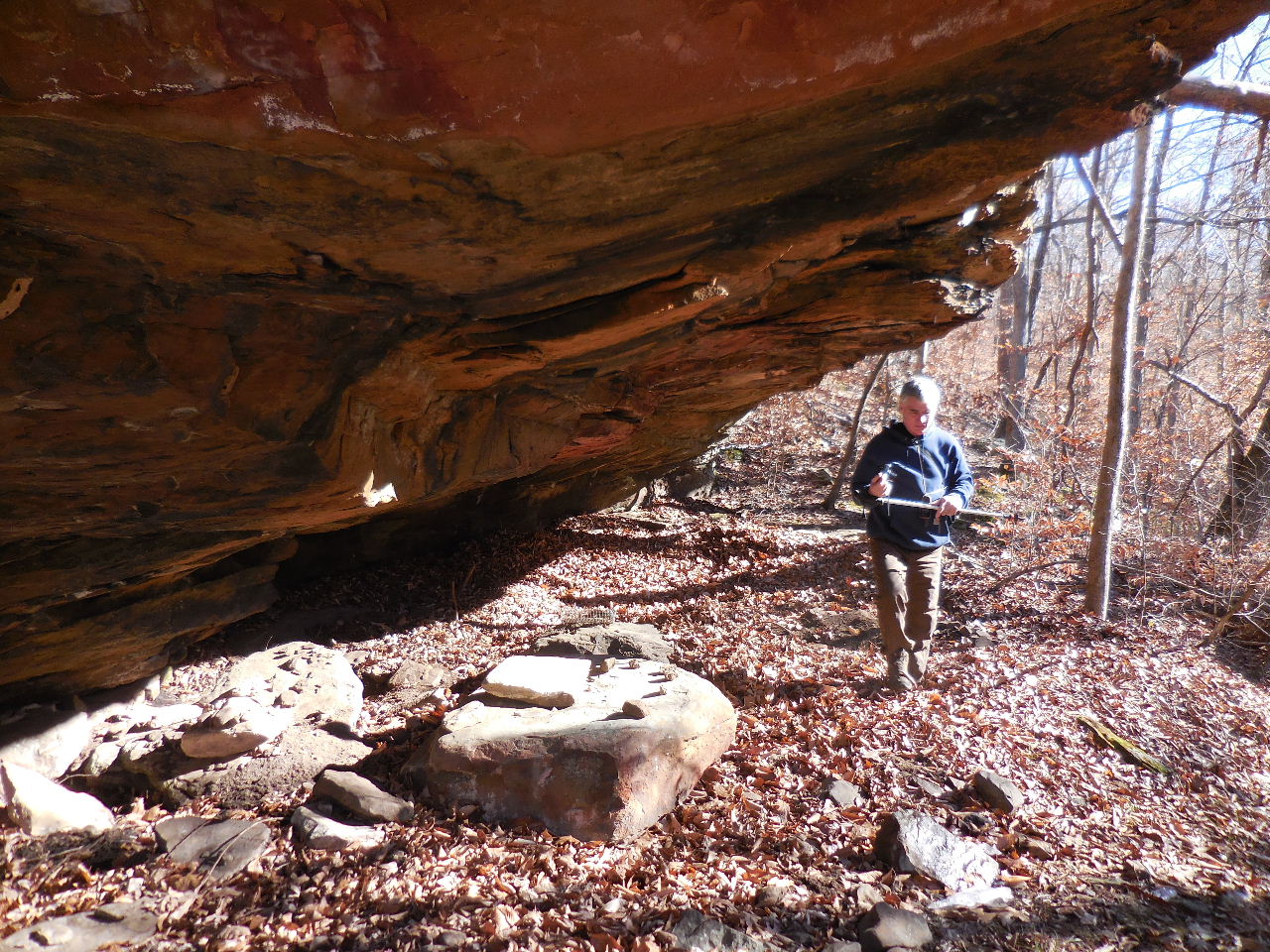
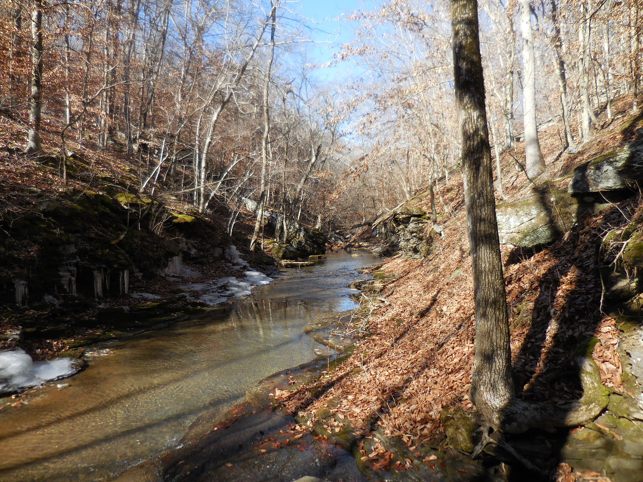
Camp & DigSite Grotto
35.85763°, 93.30797°
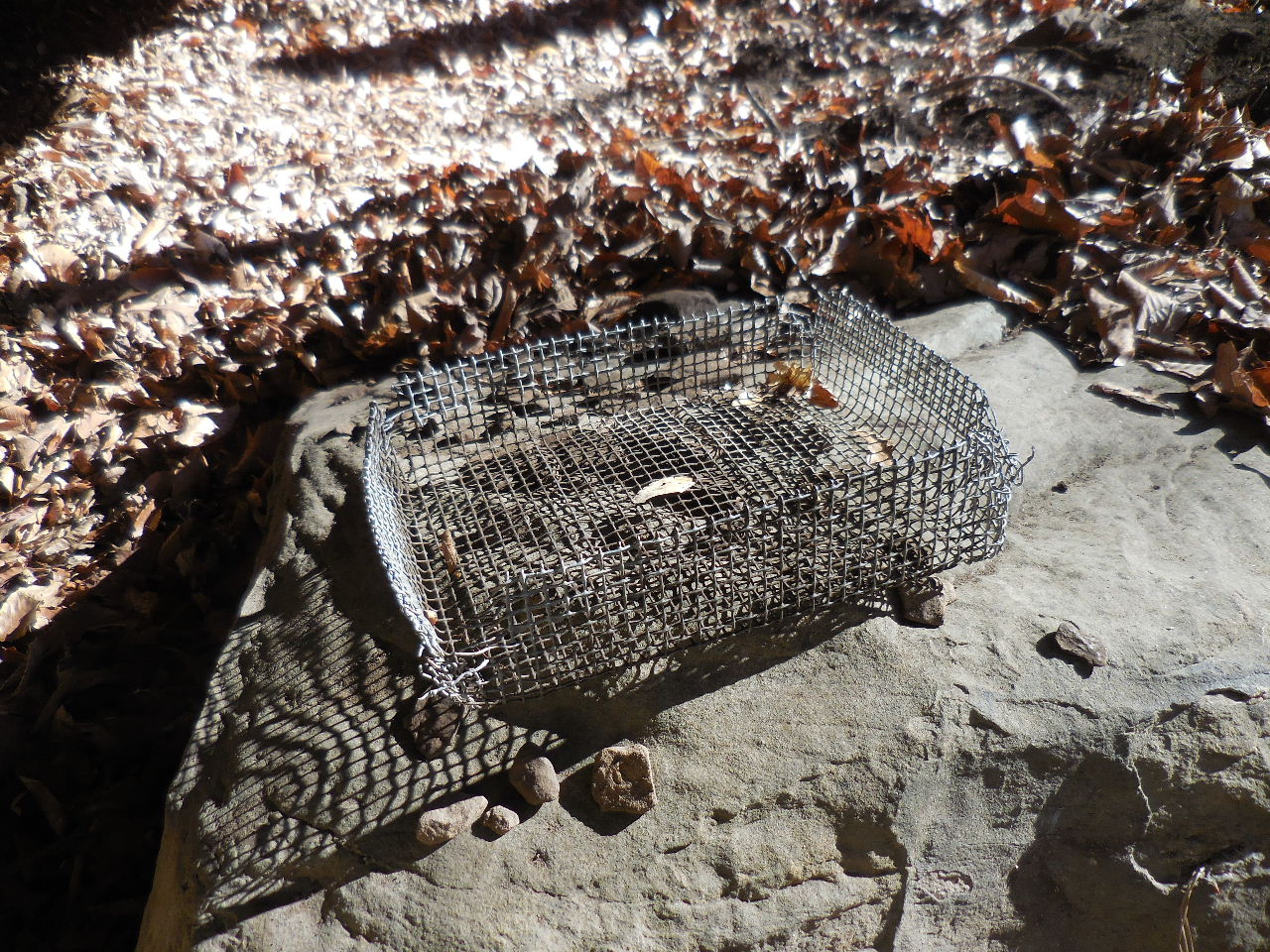
Found old wire sifter under grotto
A lot of digging evidence under grotto
Found someones digging tool under grotto.
There is a geocache somewhere under this
bluff. This bluff is located up above
Stepp Creek Falls
Stepp Creek Falls
GC3BZAK
(A traditional green ammo box tucked
in a small crevice, covered by a few rocks)
Cache by Semipaw
(We did not find it on our search 1/16/15)

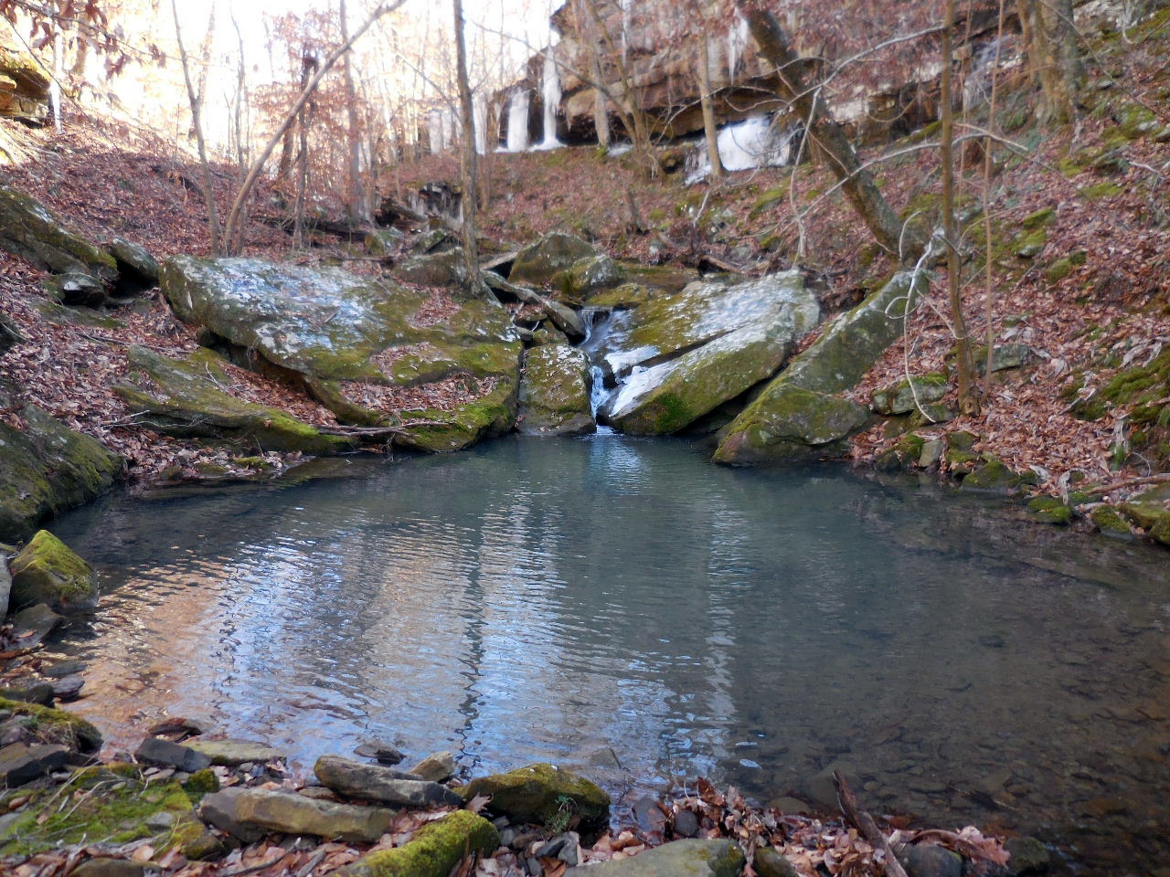
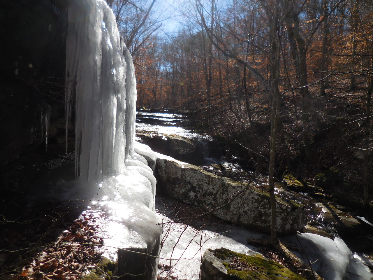
WF above Stepp Creek Falls
35.85773°, 93.30883°
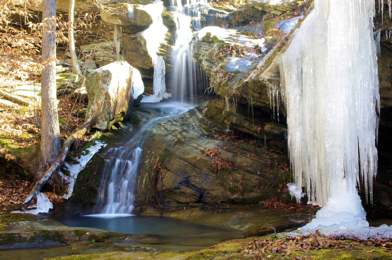
Lower Pic by David Berger
.jpg)
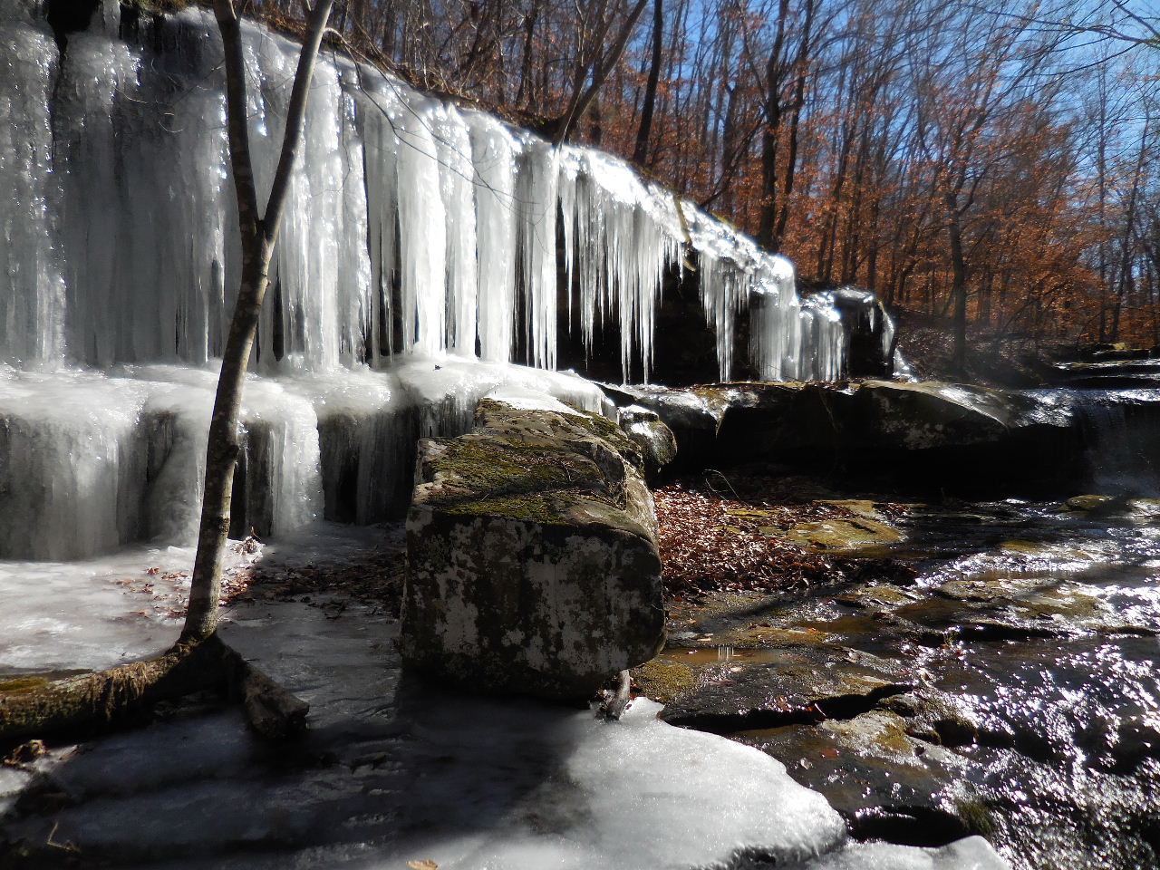
WF #1 Stepp Creek Falls
35.85775°, 93.30943°
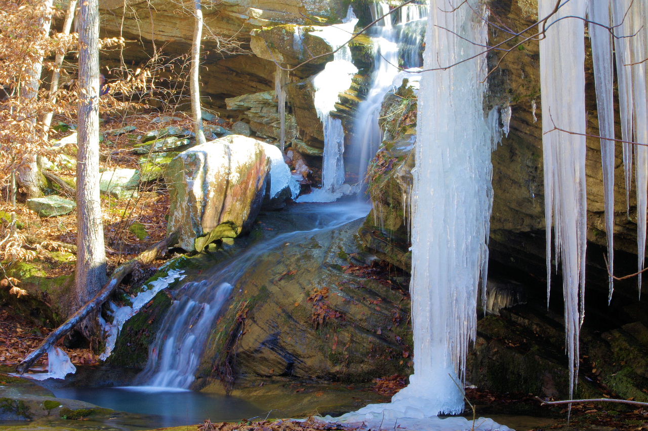
Lower Pic by David Berger
.jpg)
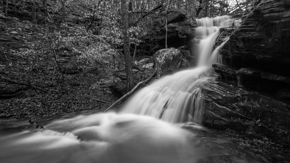
WF #2 Lower Stepp Creek Falls
(Stepp Creek Falls in background)
35.85780°, 93.30968°
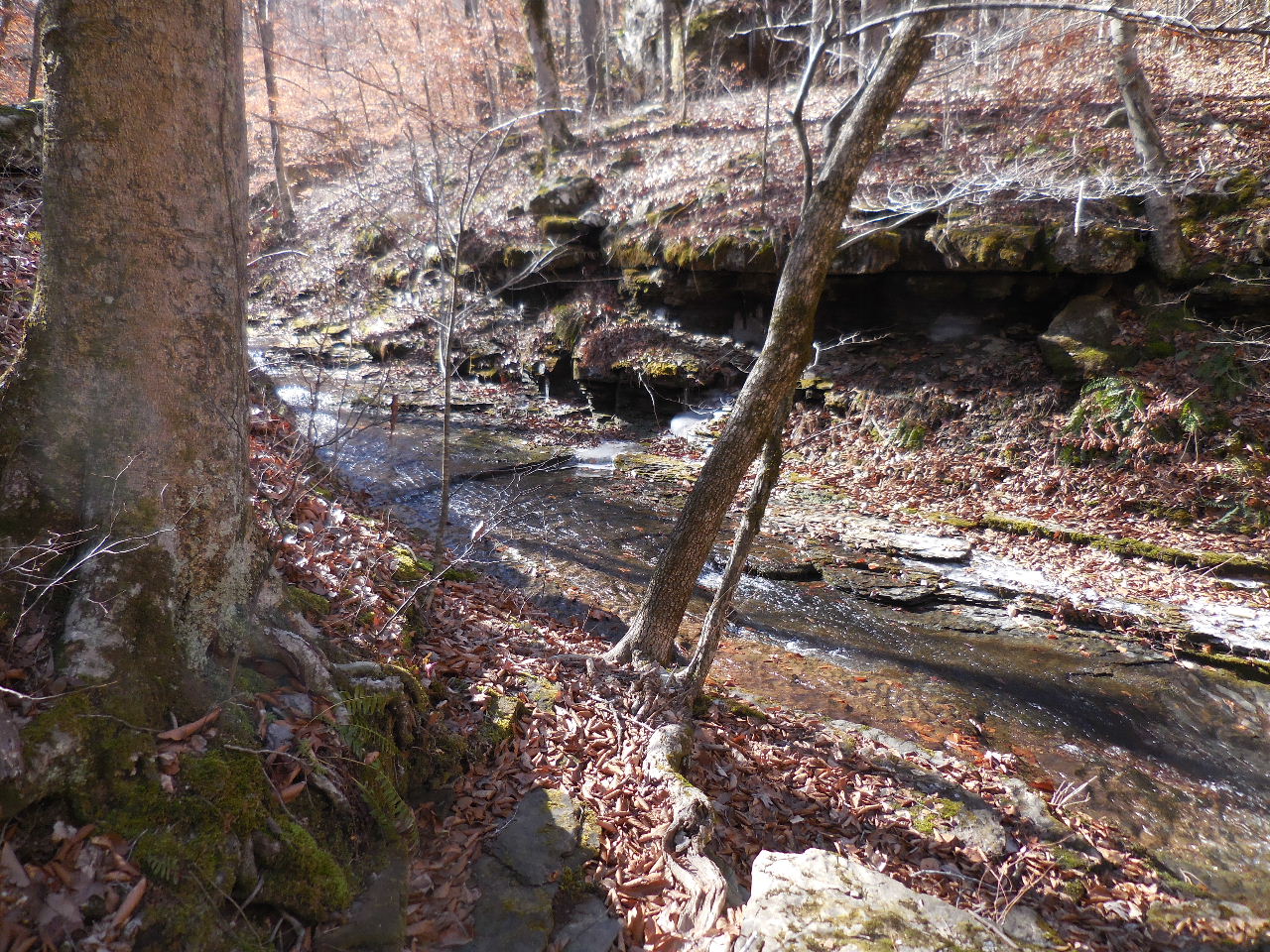
Pool located downstream of Stepp Creek Falls
35.85775°, 93.31008°
.jpg)
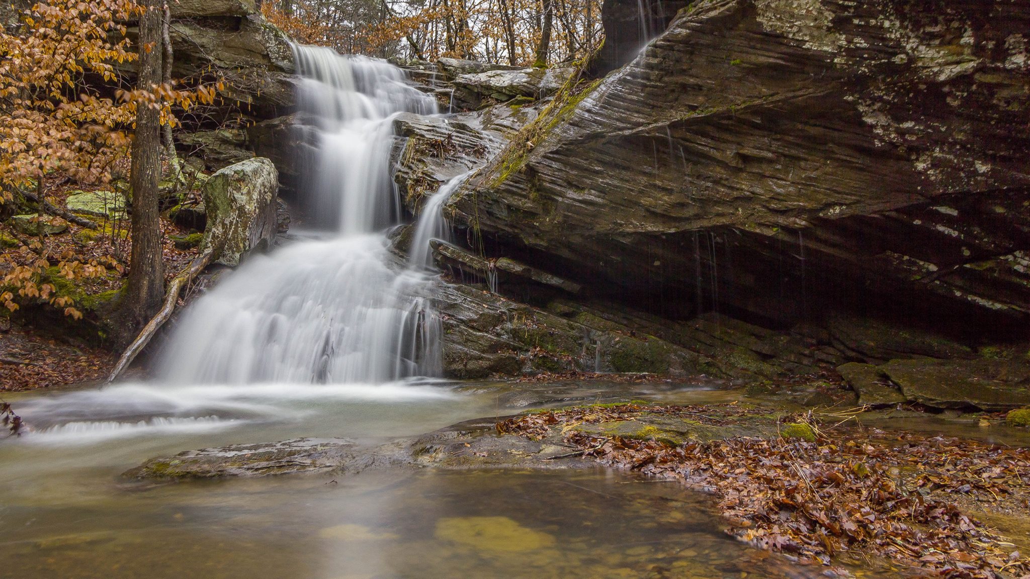
WF #3 Intersection Falls
35.85833°, 93.31135°
(Located near the intersection of Stepp Creek
and side drainage headed south)
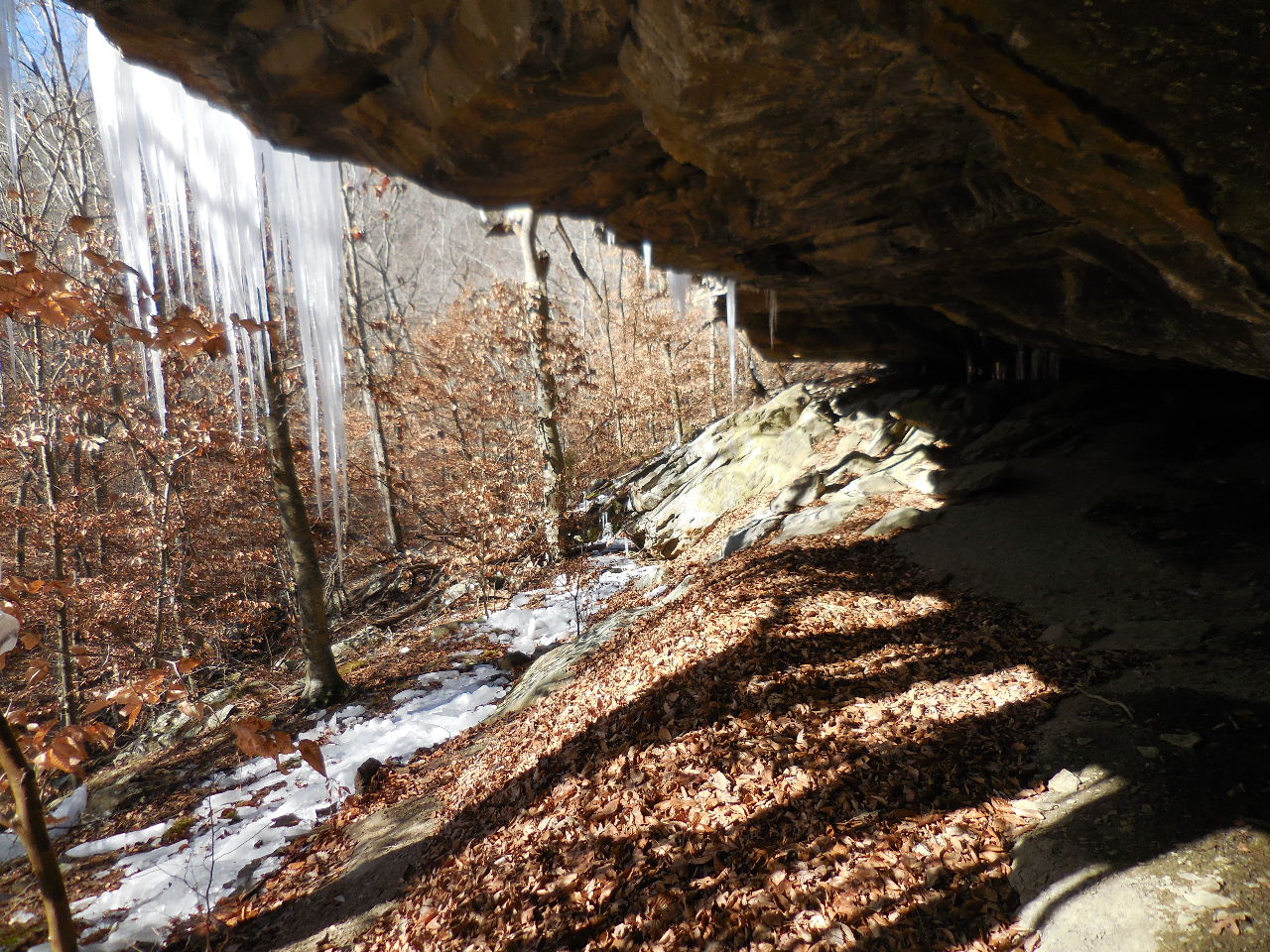
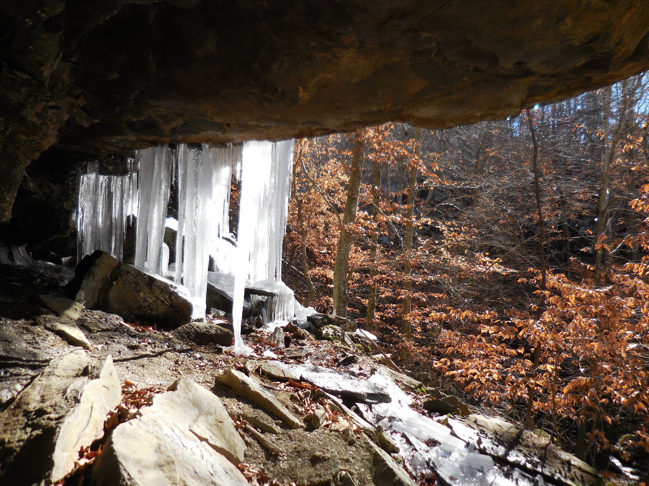
There is a large grotto just uphill (north) from
Intersection Falls.
35.85835°, 93.31103°
This is looking on down Stepp Creek from intersection.
WF #6, 7 & 8 are in that direction.
This is looking south up side drainage.
WF #4 & 5 are in that direction.
35.85685°, 93.30492°
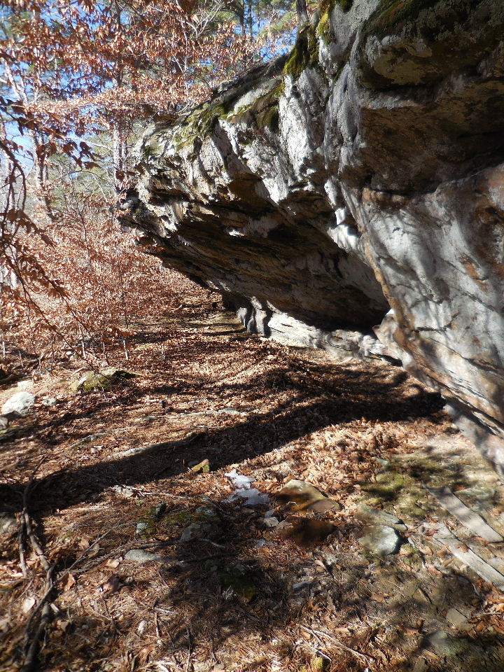
Bluff line along drainage headed south
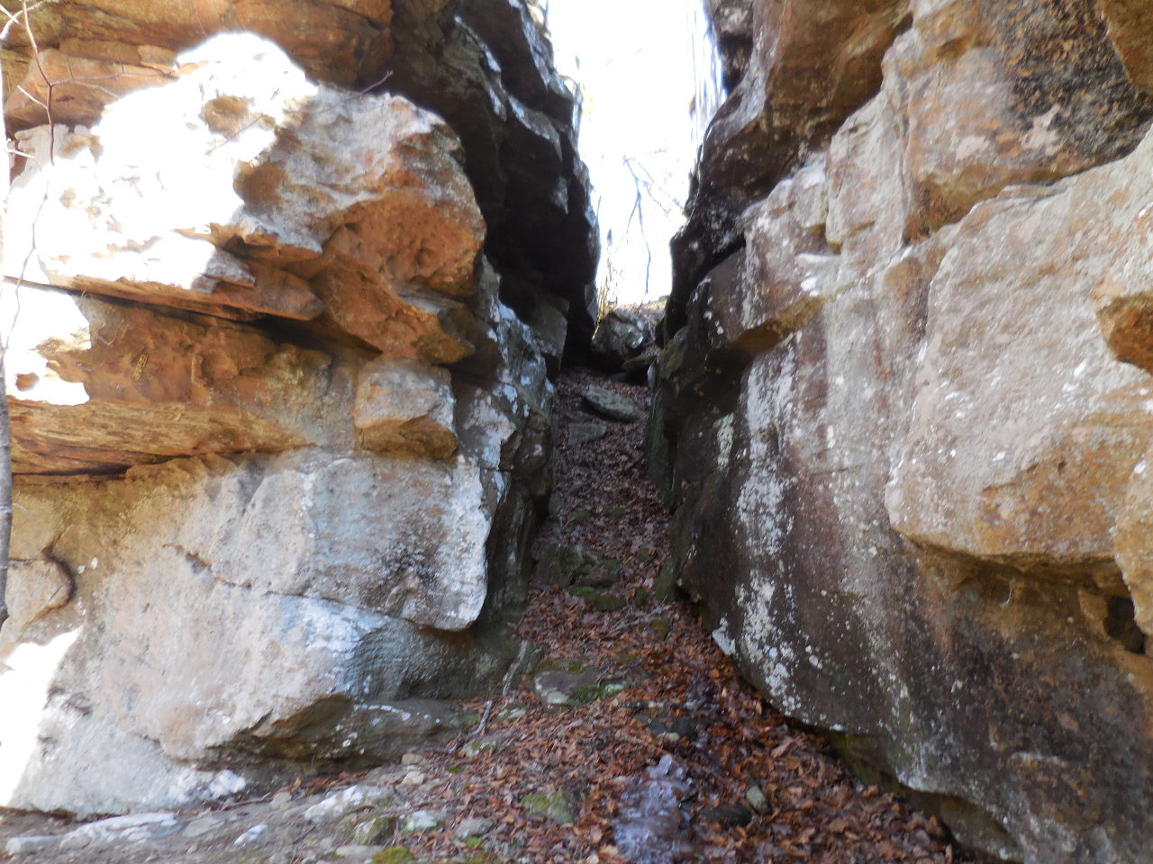
Bear Crack to access top of bluff line.
35.85750°, 93.31133°

Looking west out of Bear Crack
.jpg)
WF #4 Upper End Creek Falls
35.85643°, 93.31180°
This is a Big Sycamore Tree in creekbed
at WF #4

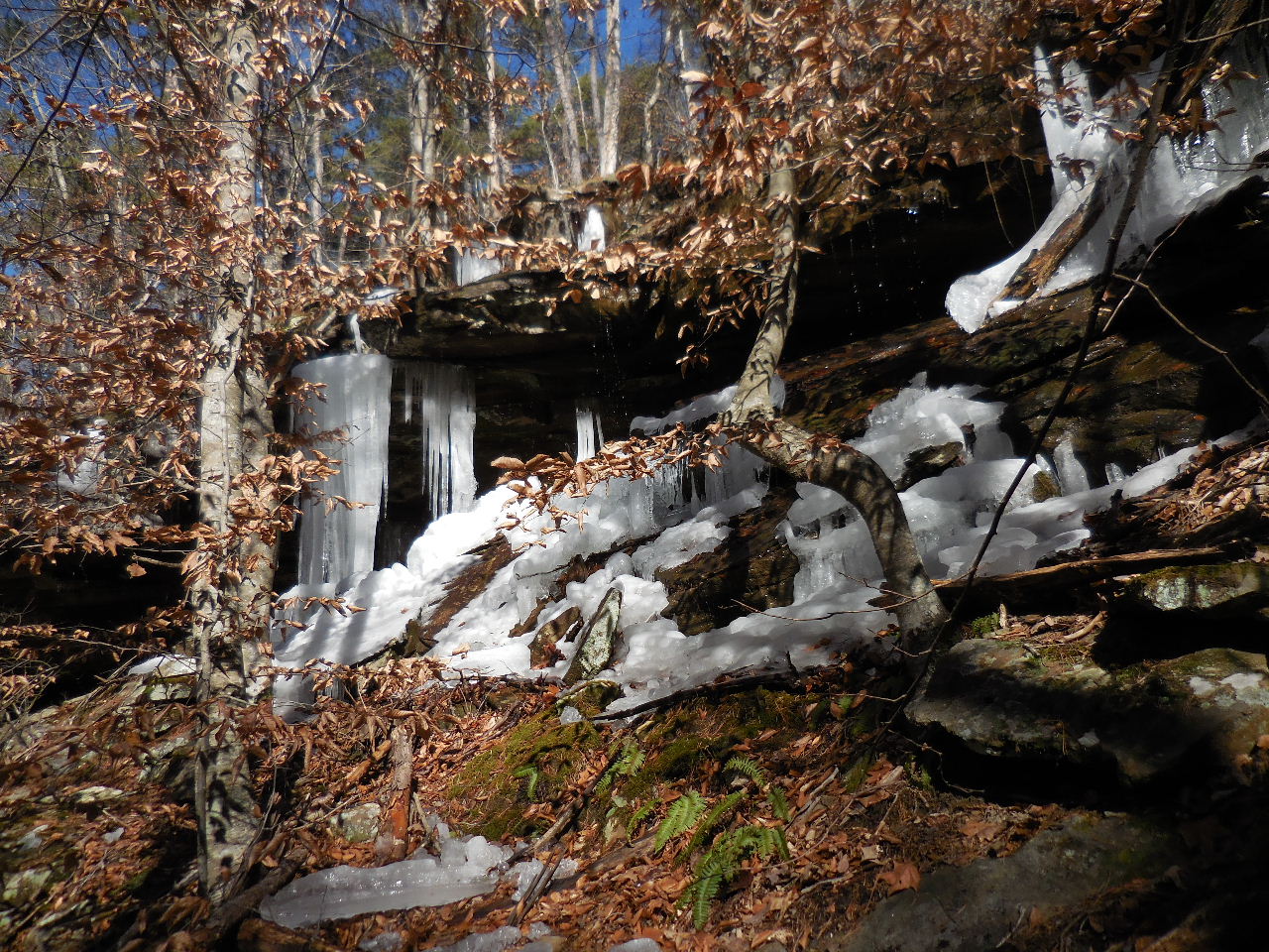
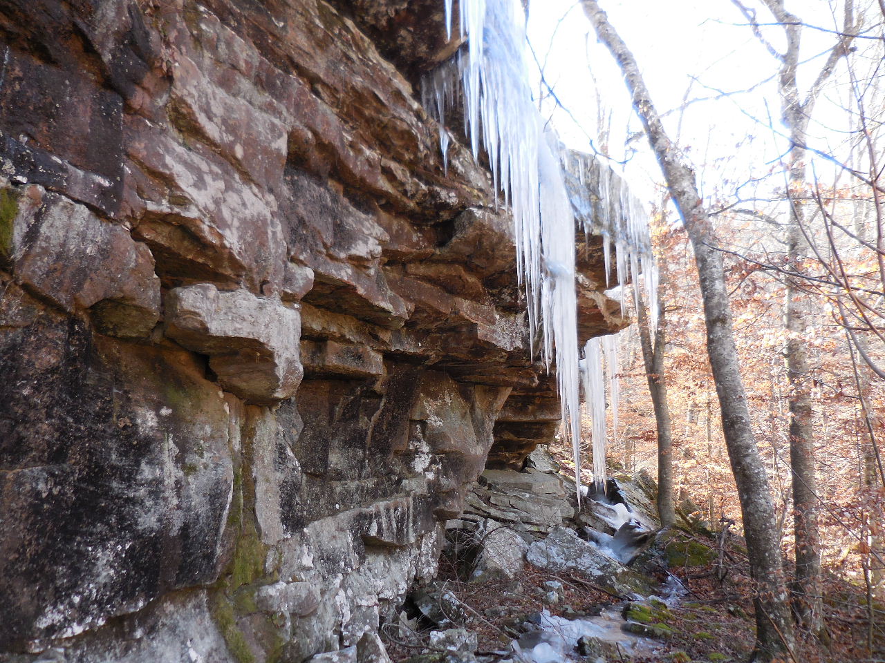
Ice bluffs at WF #5
.jpg)
Upper End Creek Cascades
Between WF #4 and WF #5
.jpg)
WF #5 Upper End Creek Tier Falls
35.85498°, 93.31183°
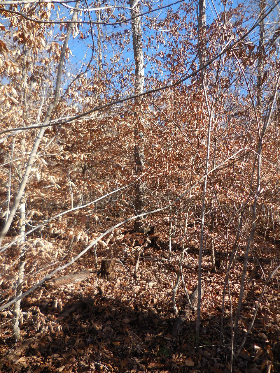
To take our shortcut back out....
head uphill (east) from WF #5 (through this
beech tree thicket) approximately 350'
to FR 92755H (NC 8914)
This is FR 92755H
Parking Area #2 35.84943°, 93.30858°
(Walkable but not driveable)
Follow road north and around until you can access
back down into Stepp Creek.
back down into Stepp Creek near the
point you came down at the Camp & Dig Grotto.
Follow drainage up to FR 92155E1 or access
back the way you came in.
Access Point "C" 35.85468°, 93.31060°
Access Point "D" 35.85703°, 93.30965°