.jpg)
.jpg)
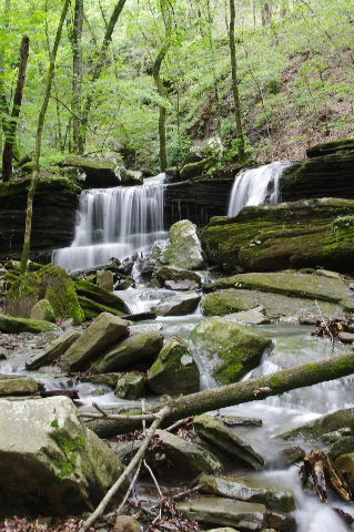
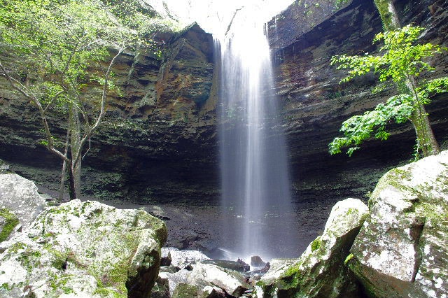
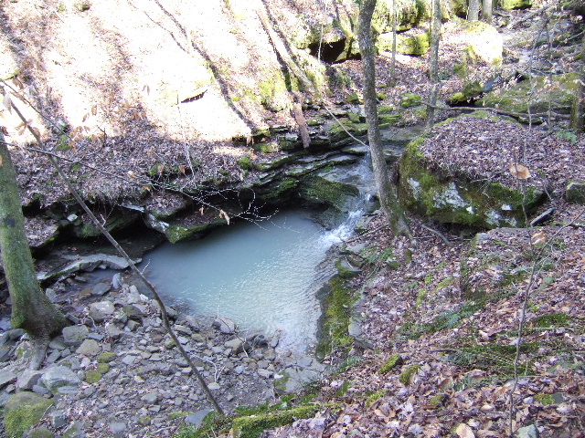
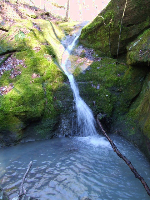
WF #1 Lower
Longpool Falls
WF #1 Lower Longpool Falls
35.54970°, 93.15272°
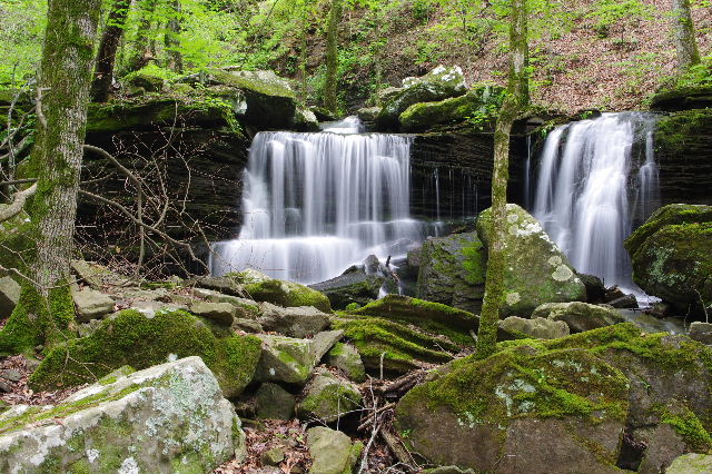
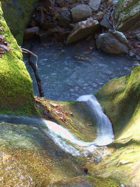
WF #3 Twin Tier Falls
35.54927°, 93.15178°
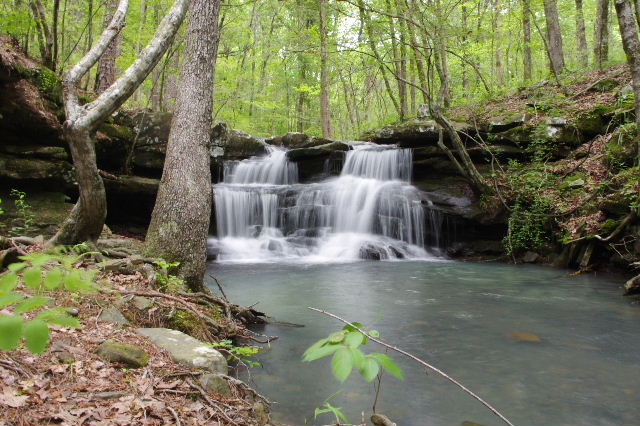
WF #2 Longpool Falls
WF #2 Longpool Falls
35.54930°, 93.15210°
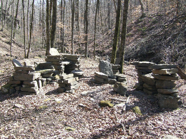
Primitive Campsite up stream from WF #3
35.54880°, 93.15065°

WF #4 Six Tier Falls
35.54818°, 93.14917°

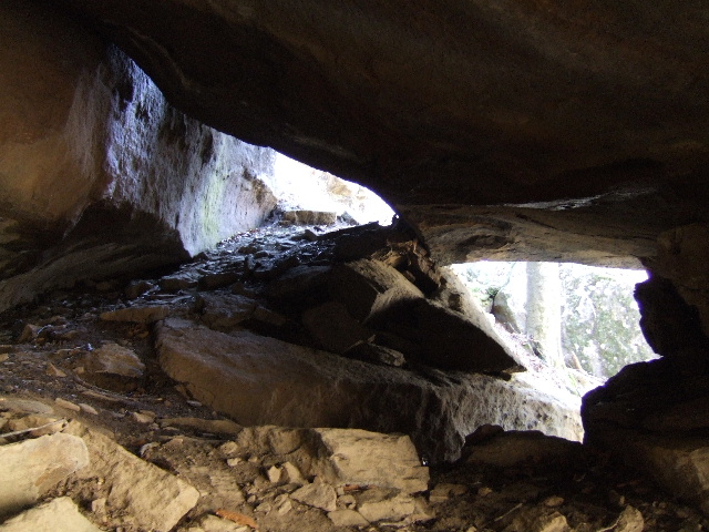
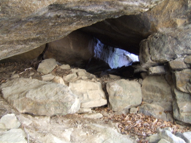
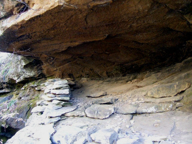
Typical Caves & Grottos
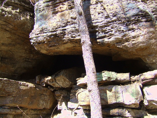
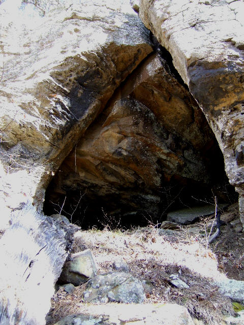
Typical Caves & Grottos
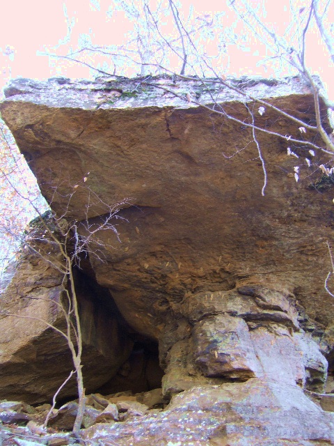
Ledger Rock Cave 35.54735°, 93.14743°
Ledger Rock Cave
Top Picture: WF located between WF #4 & #5
Bottom Picture: Fort Grotto
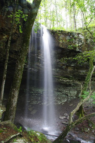
WF #5 Twister Falls 35.54750°, 93.14648°
View from top of WF #5 Twister Falls
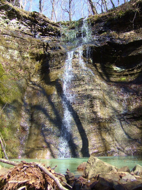
WF #6 Upper Longpool Falls (Measured 42')
35.54763°, 93.14477°
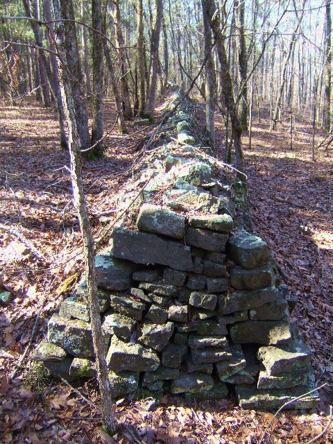
East end rock walls 35.54482°, 93.14802°

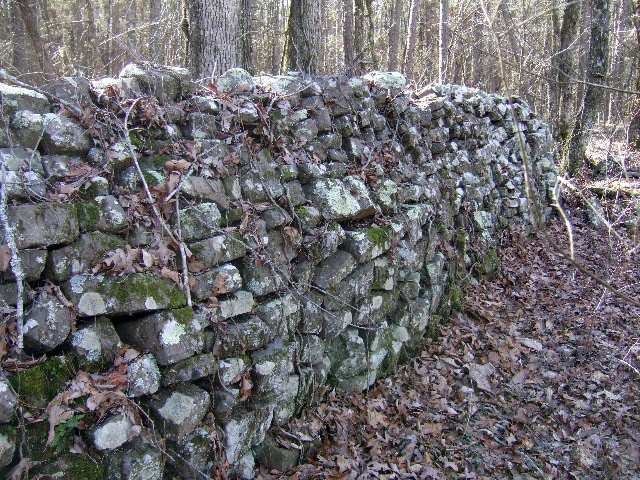


West end rock walls 35.54560°, 93.15062°

Location Map
Forest Road 1801 (Old Hwy. 7); turn right on FR 1801 and go 5.0 miles, along FR 1801 and FR 1804 to Longpool Rec. Area.
From Hwy. 7, 19.4 miles north of 1-40, take FR 1801 (Old Hwy. 7) 3.8 miles to the intersection of FR 1801 and FR 1804; turn right and go
2.2 miles on FR 1804 to Longpool Rec. Area.