.jpg)
| TAKAHIK River Valley Hikers |
| Home Scheduled Hikes Pictures Videos Membership Links Trails & Waterfalls Mushrooms Products In Memory Of |
| LOWER WHITAKER CREEK |
|
Access Points "A"
35.89698°, 93.45097° Access Point "C" 35.88851°, 93.44267° Access Point "D" 35.88957°, 93.42811° (Old Road) |
||
 Parking Area (West side of Cave Mt. Road) |
 Hawksbill Crag Trailhead 35.89822°, 93.45809° |
.JPG) Access Point "B" (WF#1-Haley Falls) 35.89350°, 93.44688° |
 Below Haley Falls |
WF #2 Mule
Trail Falls 35.89363°, 93.44988° |
WF#3 Thousand
Kisses Falls 35.89242°, 93.45053° |
 Whitaker Creek looking NW up Lower Fork Access Point "C" 35.88851°, 93.44267° |
 Looking up at Hawksbill Crag-zoomed shot from Whitaker Creek |
 Whitaker Creek |
 WF#4 Fossil Falls 35.89032°, 93.43734° (WF resulting from recent rock slide) |
 Some of the many fossils on the exposed rock at WF#4 Fossil Falls |
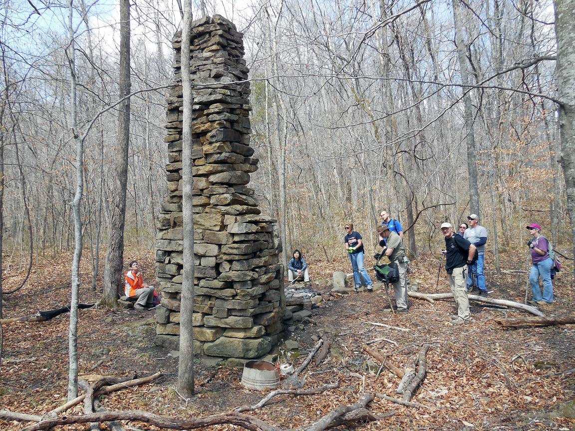 Old homesite (Now used for a campsite) 35.88923°, 93.42822° |
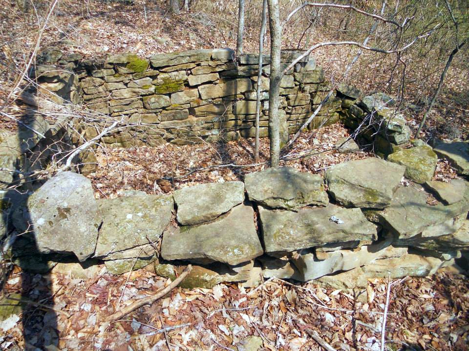 Old homesite (Upper) Located next to old road (aka Ladder Trail) 35.89095°, 93.42939° |
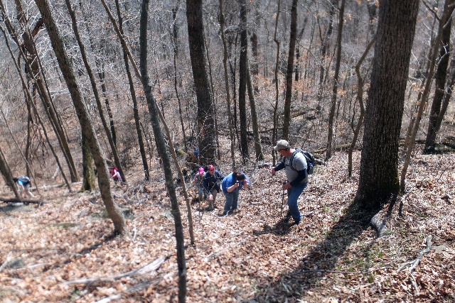 Heading up Ladder Trail 35.89189°, 93.43088° |
 Access Point "E" (Ladder) 35.89371°, 93.43137° |
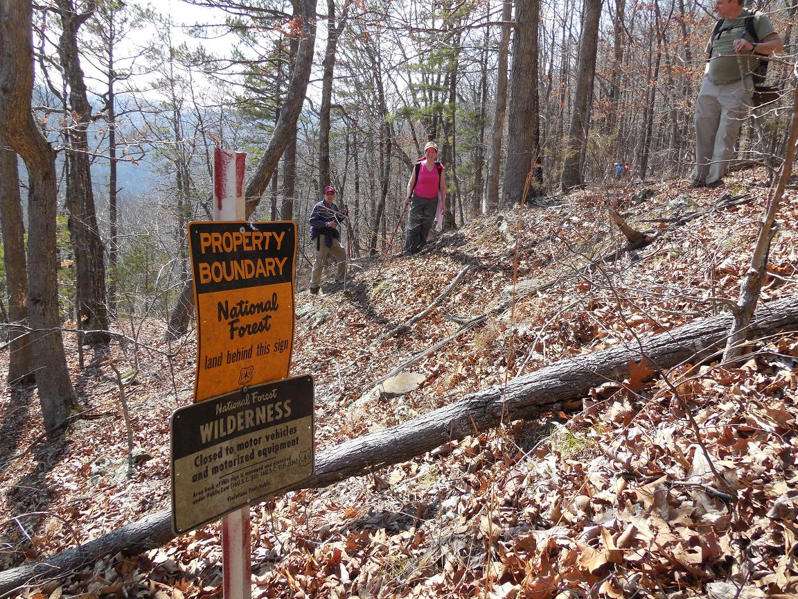 National Forest Boundary Sign just above ladder. (Please stay south of this boundary as you head west and respect private property) |
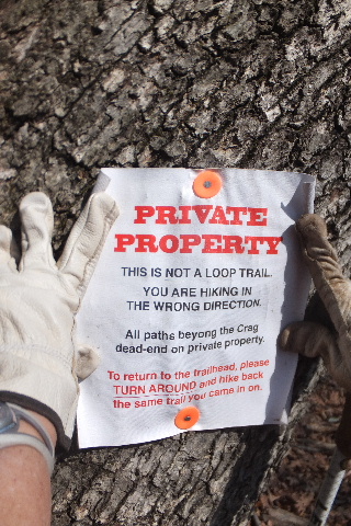 Sign denoting Private Property 35.89388°, 93.43228° (There is a visible trail west of sign) |
 Trail heading west towards Hawksbill Crag |
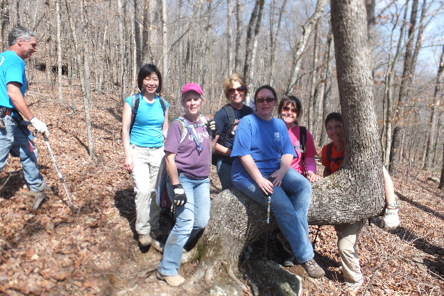 Sitting Tree along trail 35.89355°, 93.43568° |
 Approaching Hawksbill Crag (East side) |
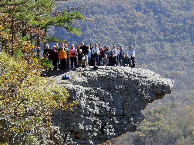 Hawksbill Crag 35.89095°, 93.44042° |