.jpg)
| TAKAHIK River Valley Hikers |
| Home Scheduled Hikes Pictures Videos Membership Links Trails & Waterfalls Mushrooms Products In Memory Of |
| GRAVES CREEK |
PINEY RAPIDS: B = Indian Creek Ledge; C = Jump Rock; D = 1, 2, 3 -Surprise; E = Whirley Rock; F = Little Rock Beach; G = Roller Coaster;
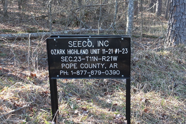
 Seeco Ozark Highland Unit |
 |
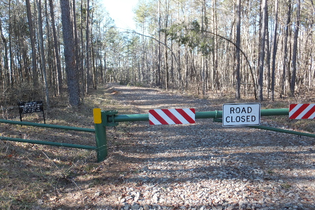
 Parking Area 35.58572°, 93.18633° |
 Forest Road 1800A from Parking Area on, not maintain but driveable to Camp Site using 4-WD vehicle or ATV. |
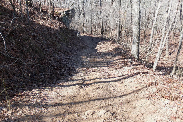
 Access Point "A" ATV Trail heading NW 35.58758°, 93.18747° Access Point "B" 35.58768°, 93.18846° (See Map) Heading NW into woods (No trail) |
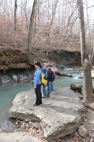
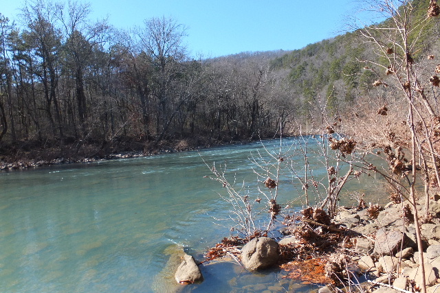
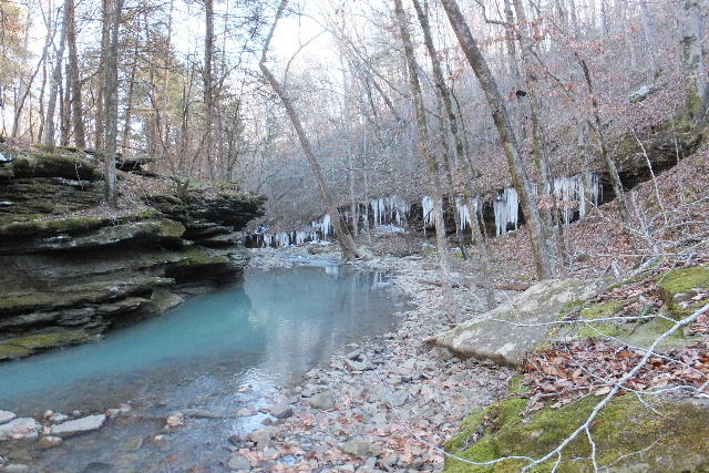 Access Point "C" into Graves Creek 35.59078°, 93.19198° Looking NE down creek |
 WF #1 Graves Creek Slot Falls 35.59240°, 93.19045° |
 WF #2 Graves Creek Falls (aka Dead Pool Falls) 35.59220°, 93.18978° |
 Access down to bottom of Forever Falls |
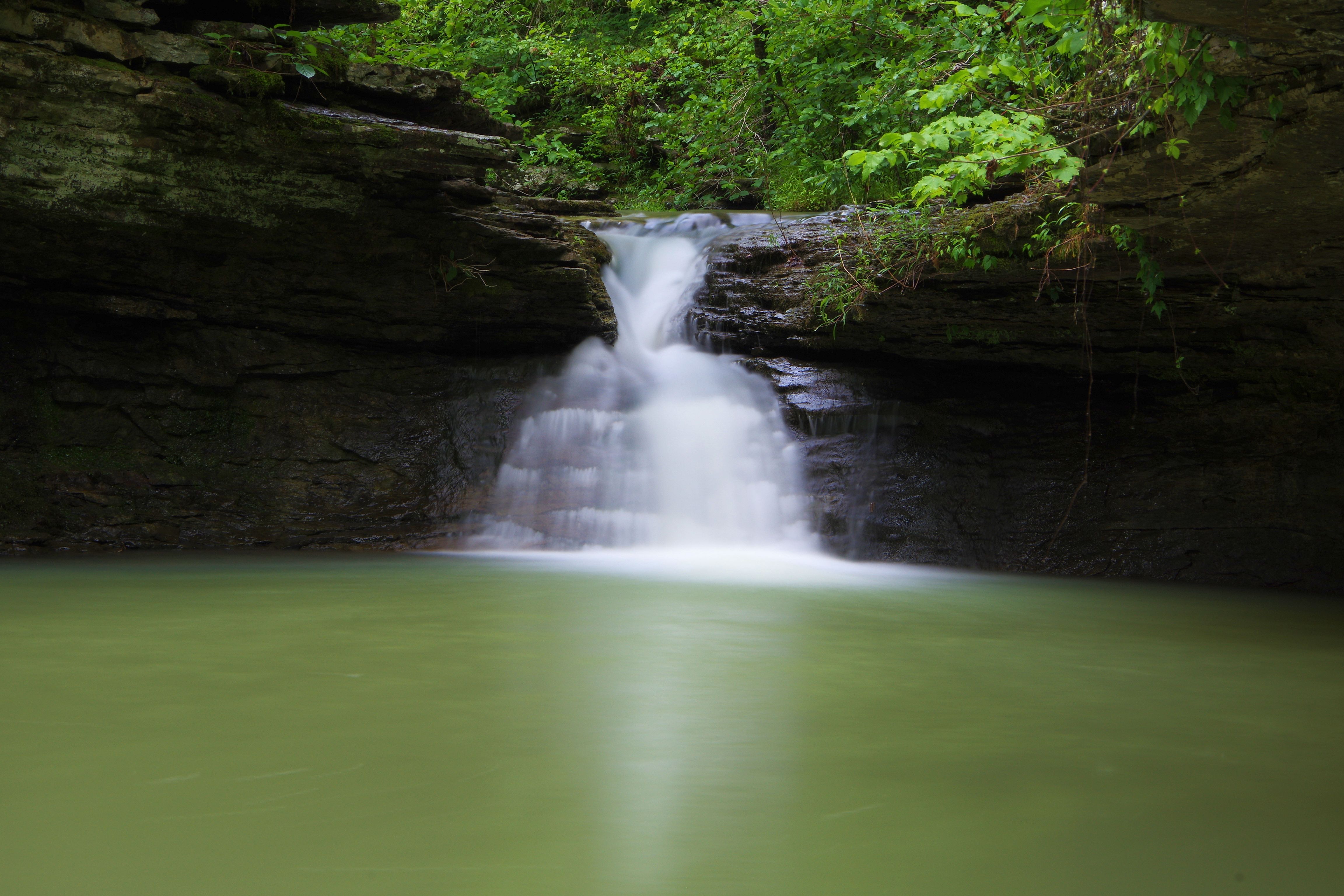
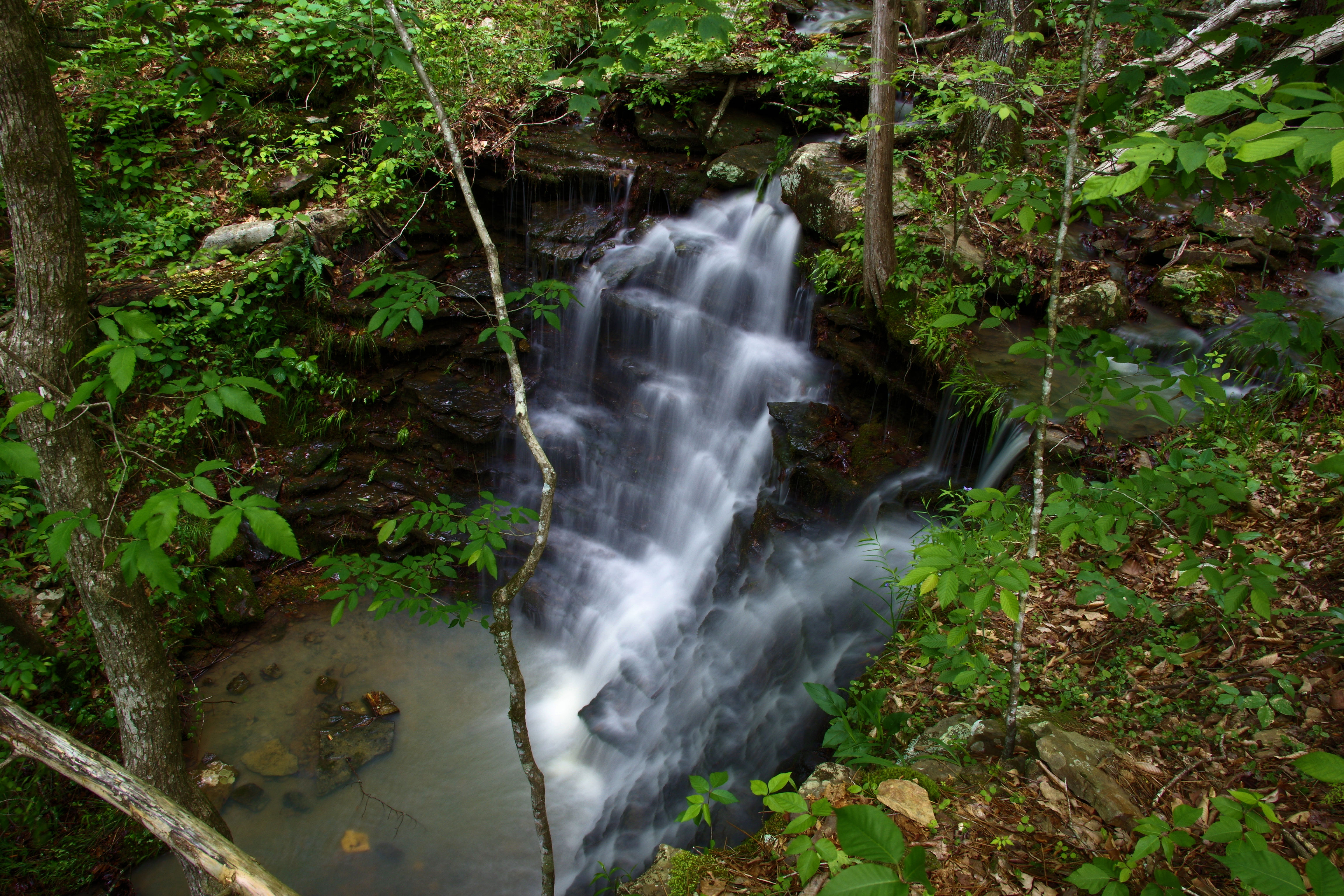
 WF #3 Forever Falls |
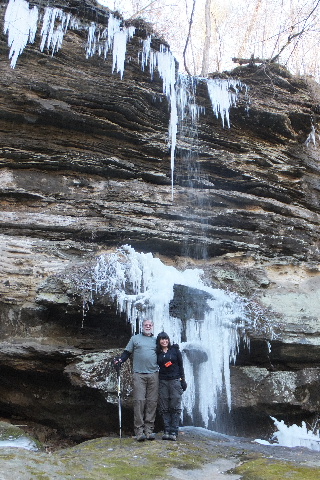
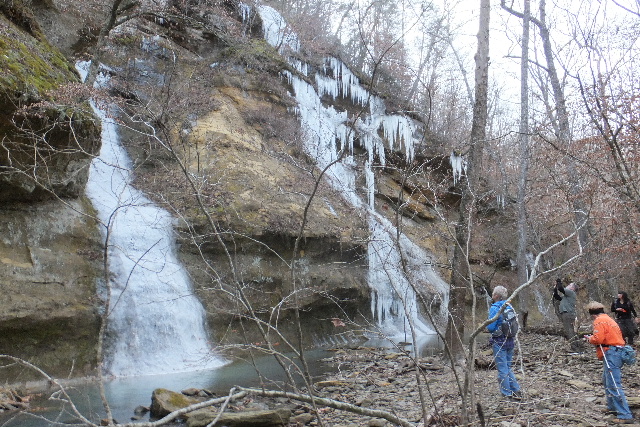
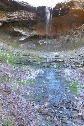
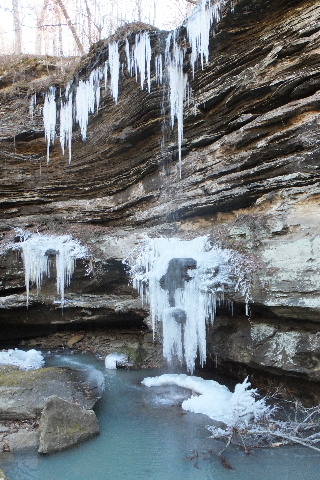 A frozen WF #3 Forever Falls 35.59188°, 93.18915° |
 WF #3 Forever Falls |
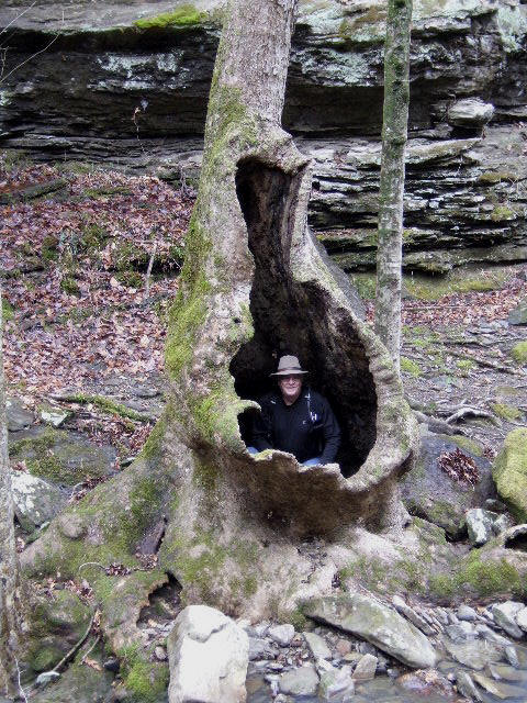 Famous Sycamore Tree 35.59468°, 93.18682° |
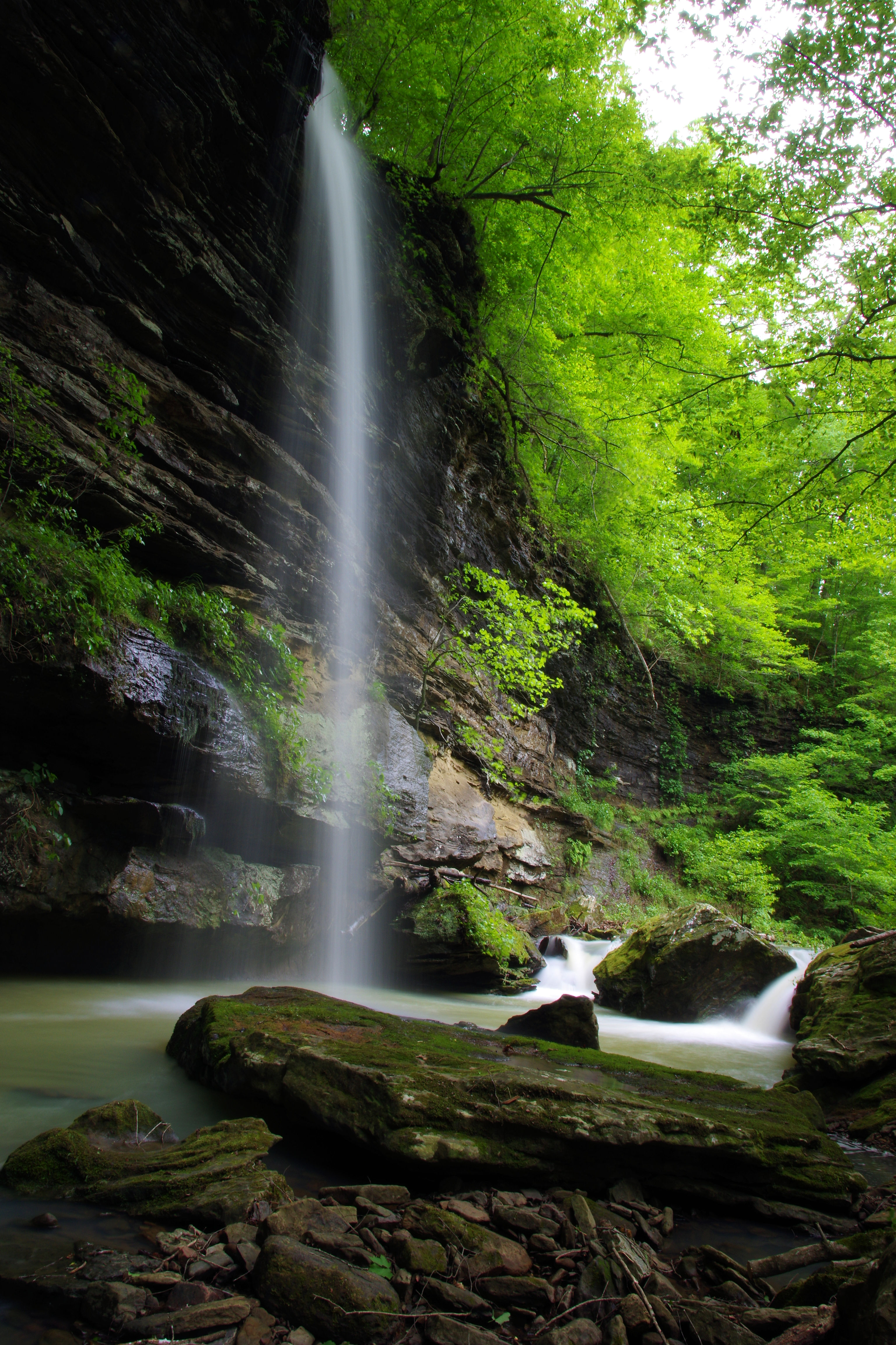
.JPG) WF #4 Graves Canyon Falls West 35.59545°, 93.18620° |
 WF #5 Graves Canyon Falls East 35.59545°, 93.18620° |
 On top of Graves Canyon Falls |
 Waterfall above WF #5 Graves Canyon Falls |
 Looking upsteam towards GCF |
 Flatrock 35.59493°, 93.18225° |
 WF #6 Cathedral Falls |
|
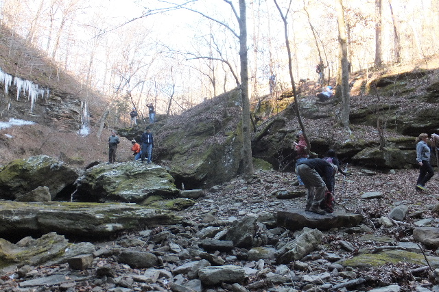
 WF #7 Frozen in Time Falls |
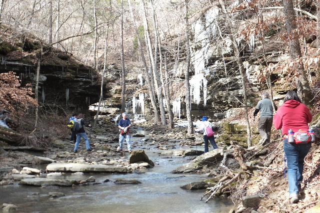
 Both WF's #7 and #6 35.59488°, 93.17932° |
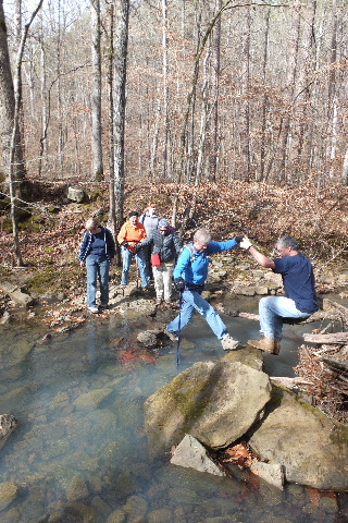 One of the many creek crossings |
 Primitive Campsite 35.59565°, 93.17730° |
 WF #8 Campsite Falls 35.59363°, 93.17348° |
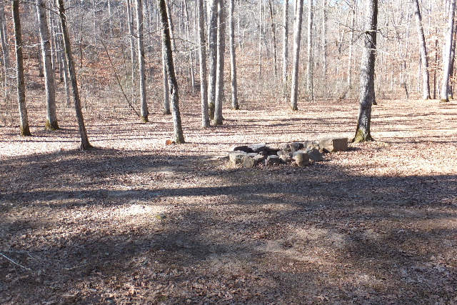 Primitive Campsite (Large area) 35.59312°, 93.17408° |
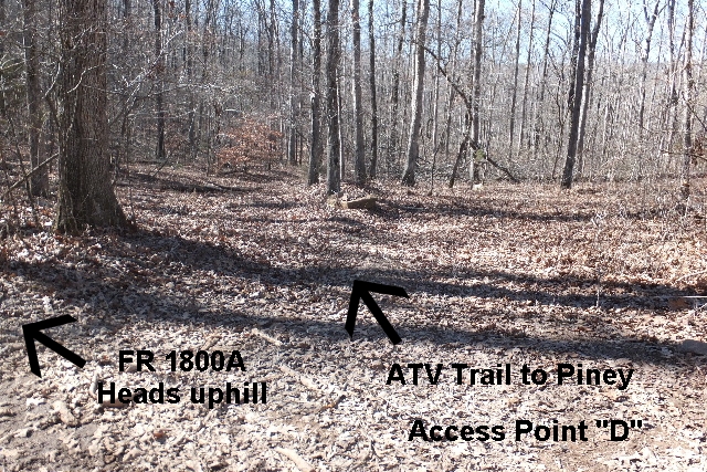 Access Point "D" to Piney 35.59063°, 93.17350° |
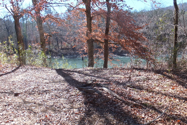 Primitive Campsite at Piney 35.58812°, 93.17372° |
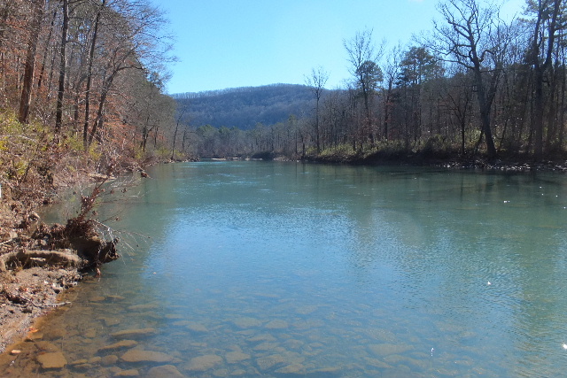 Big Piney Creek (Looking upsteam) |
 Big Piney Creek (Looking downstream) |
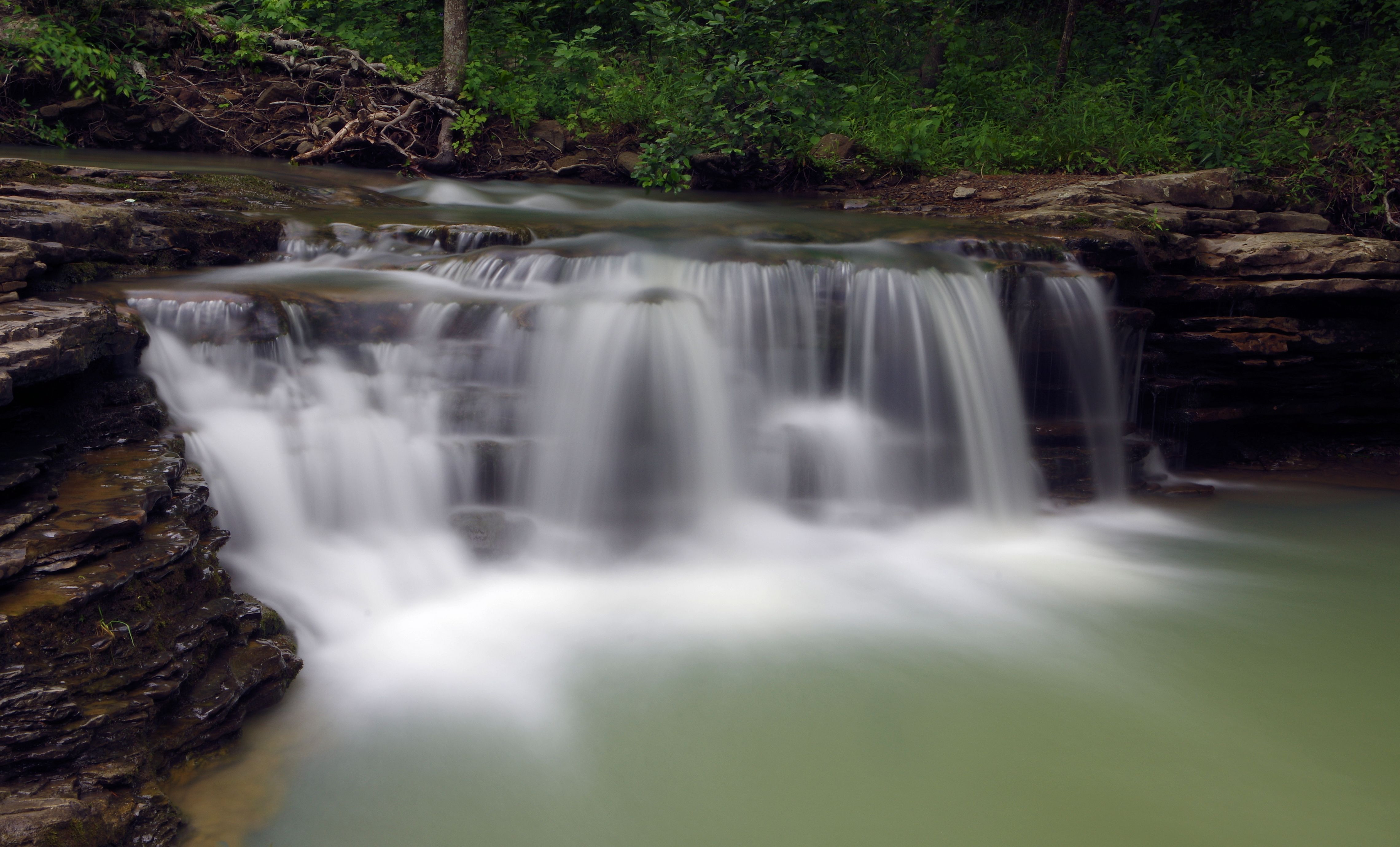
 WF #9 35.59358°, 93.17615° |
Vista Point 35.58955°, 93.17688° Access Point "E" ATV Trail to Vista 35.59068°, 93.17889° |