.jpg)
| TAKAHIK River Valley Hikers |
| Home Scheduled Hikes Pictures Videos Membership Links Trails & Waterfalls Mushrooms Products In Memory Of Scholarships |
| GLORY HOLE SPECIAL INTEREST AREA |
|
|
.JPG) Red Barn with "E" (Now looks like a "F") (On Hwy. 16, 0.5 miles west of parking) |
.JPG) Parking area across highway from old house. |
 Parking Area 35.82840°, 93.39072° |
.JPG) |
 |
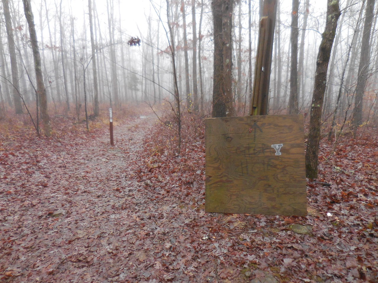 |
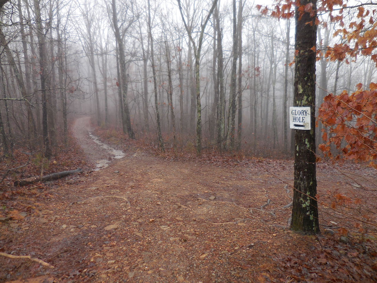
| Sign at Parking Area | Head down this road..... | This is the Trailhead 35.82475°, 93.38817° |
.jpg) WF #1 35.82443°, 93.39158° |
.jpg) WF #2 35.82367°, 93.39213° |
.jpg) WF #3 35.82265°, 93.39288° |
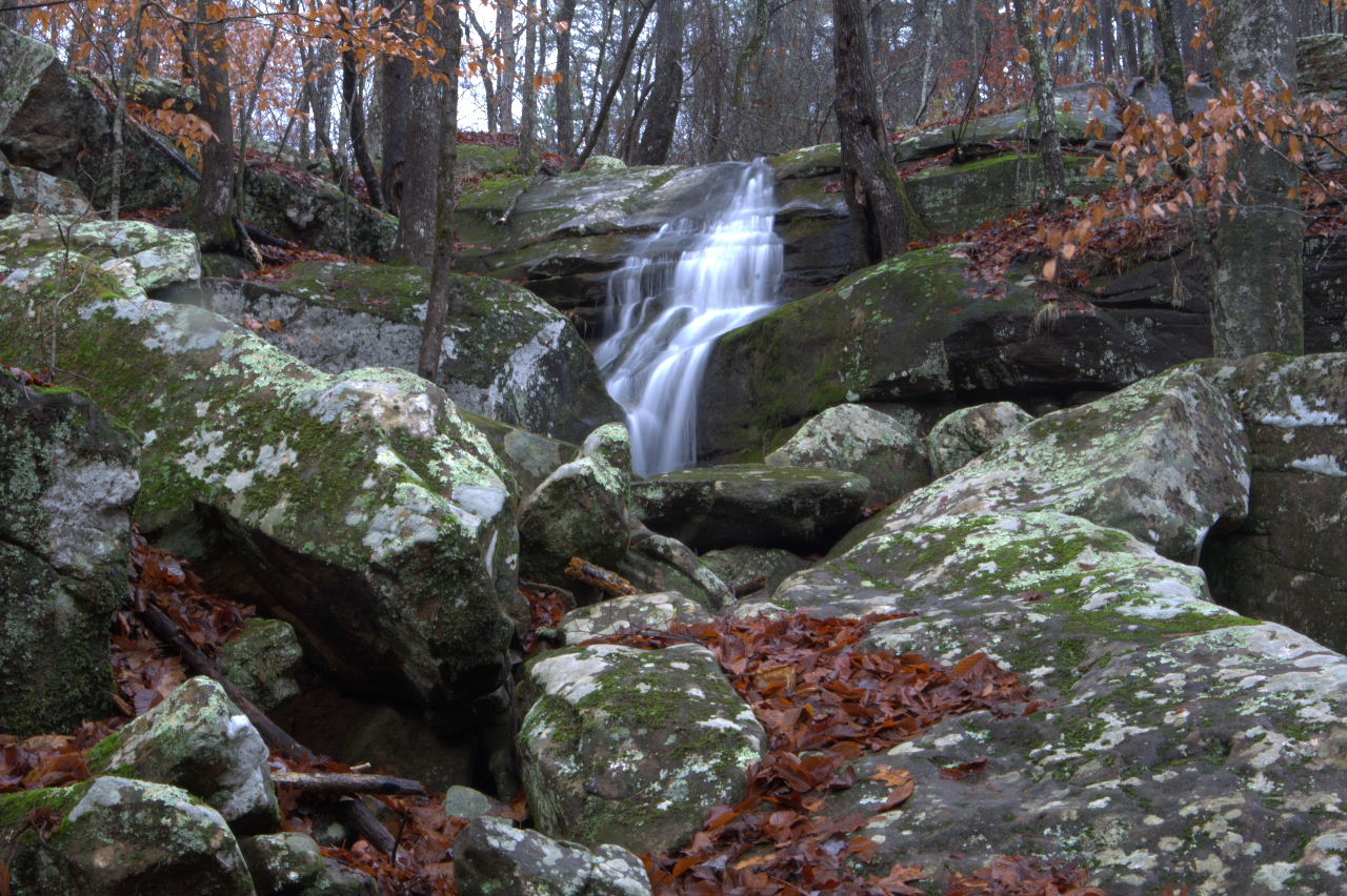 WF #4 35.82208°, 93.39380° |
.jpg) Top View The Glory Hole |
.jpg) Inside Looking Out The Glory Hole |
 Top View |
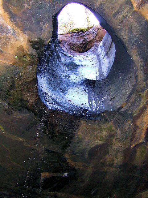 Bottom View |
.jpg) WF #5 The Glory Hole 35.82210°, 93.39352° |