.jpg)

Parking Area
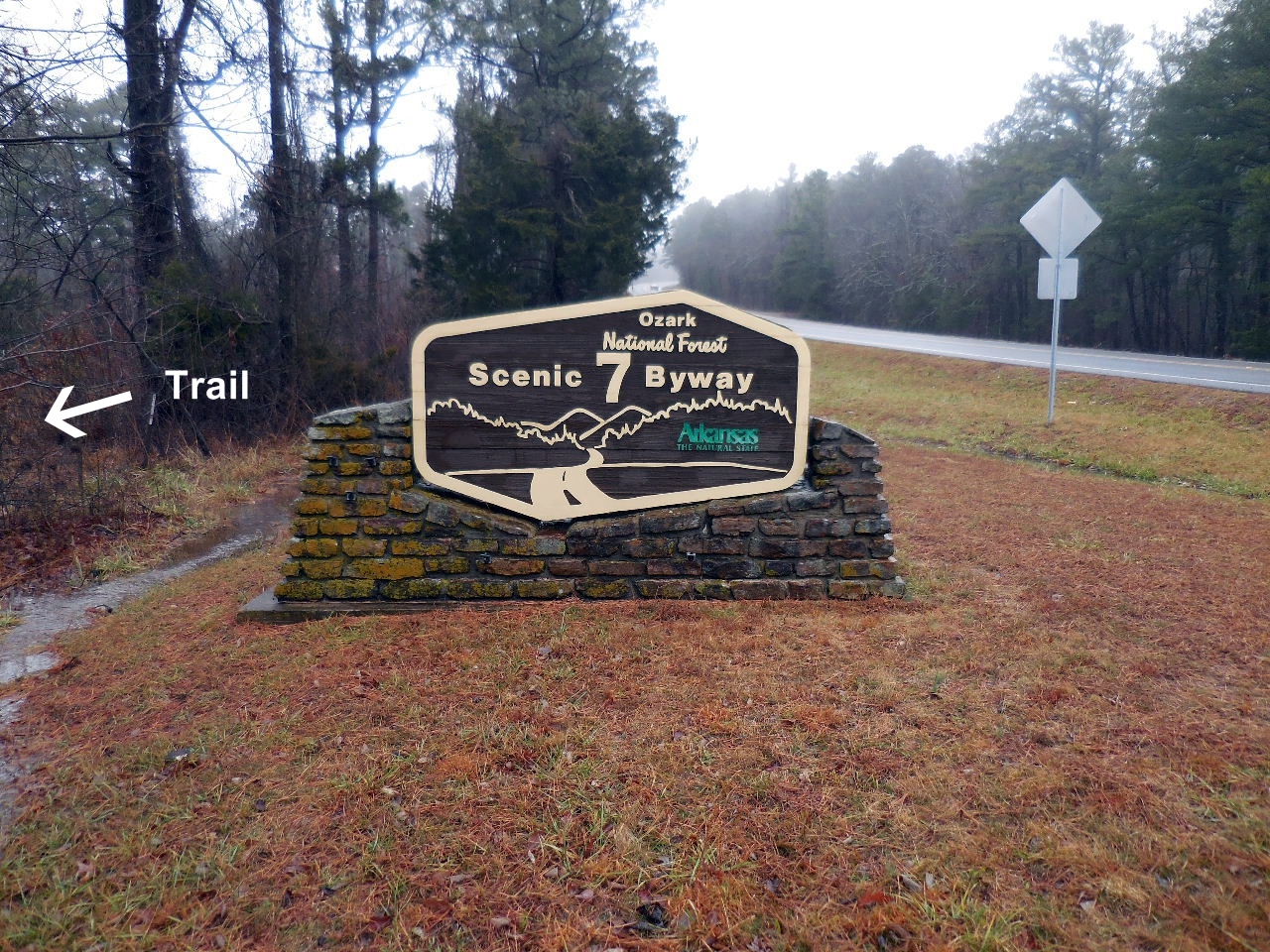
Sign on Hwy. 7
35.89295°, 93.19025°
Entrance to trail
%20(3).JPG)
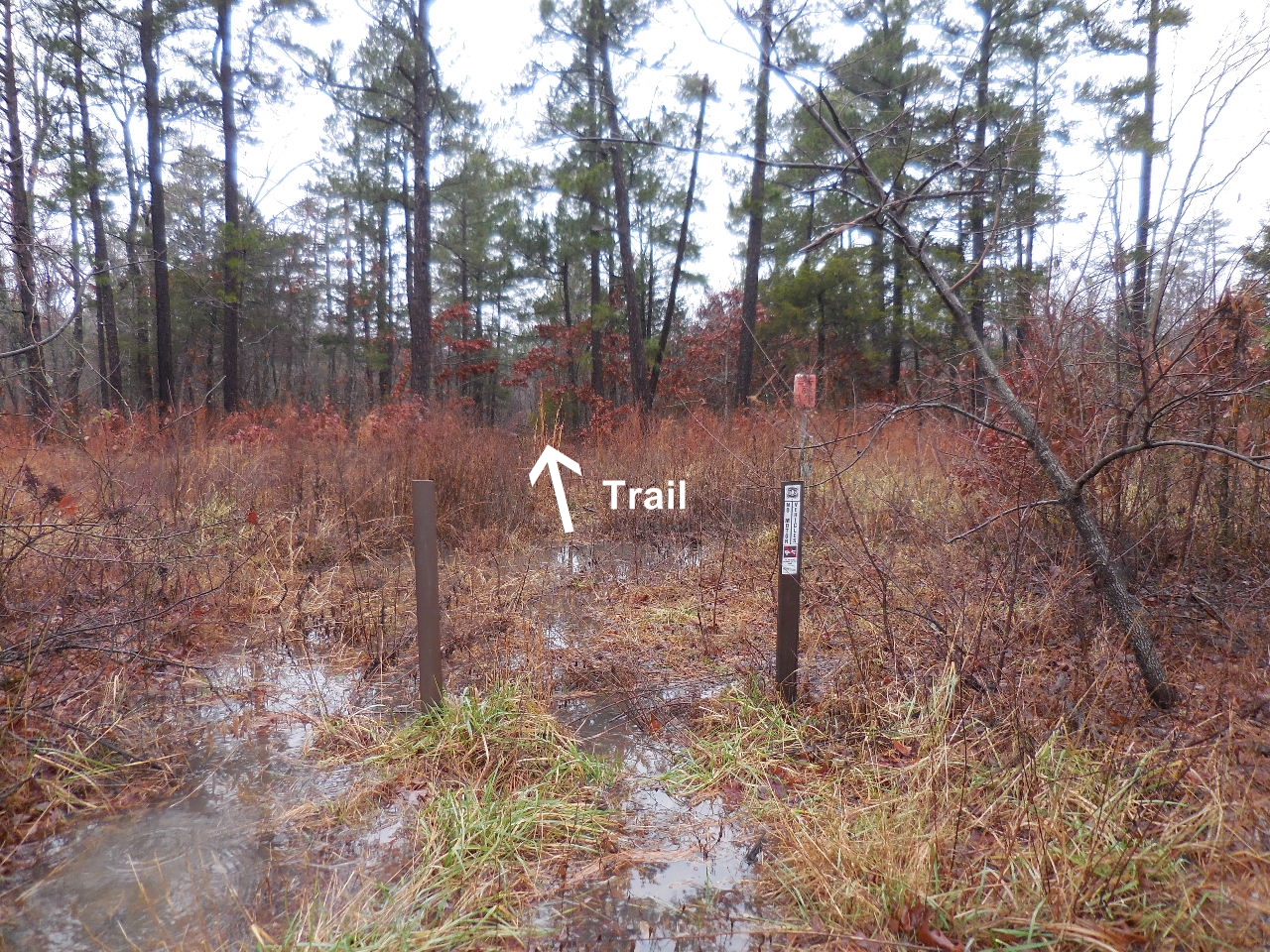
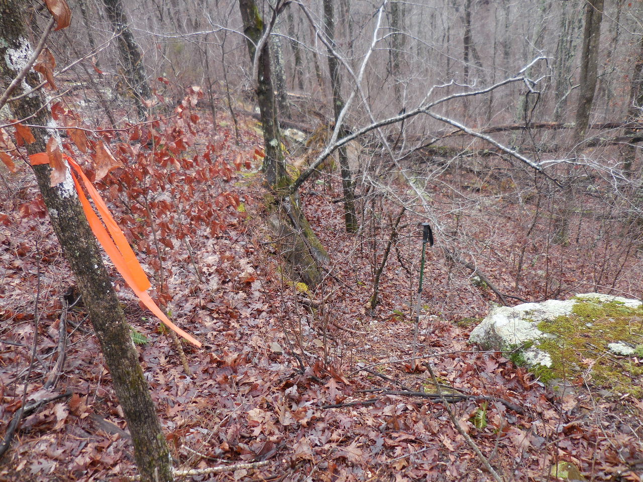
Access Point "A"
35.89302°, 93.19392°
Entrance flagged, heads northwest
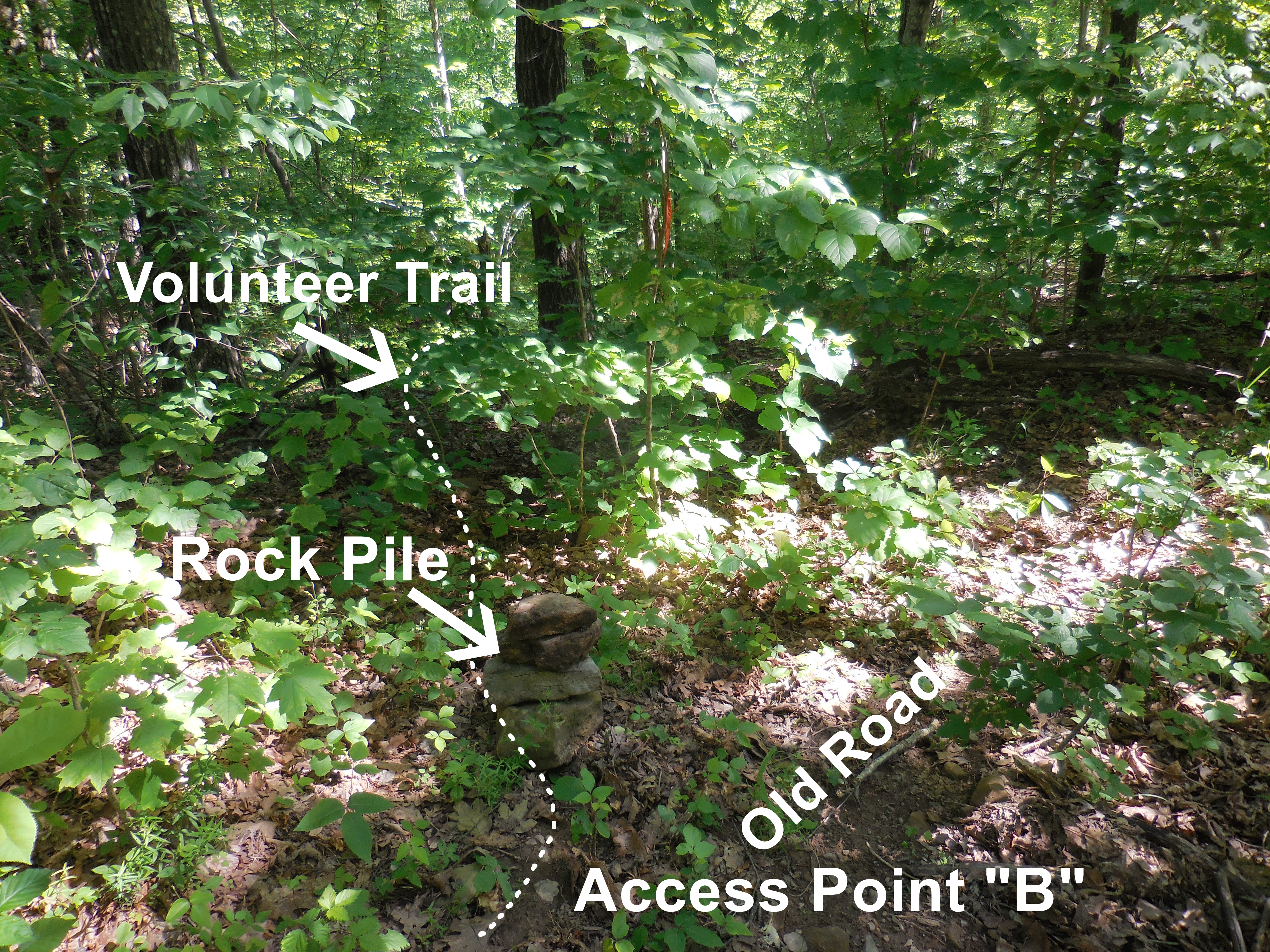
Access Point "B"
35.89366°, 93.19401°
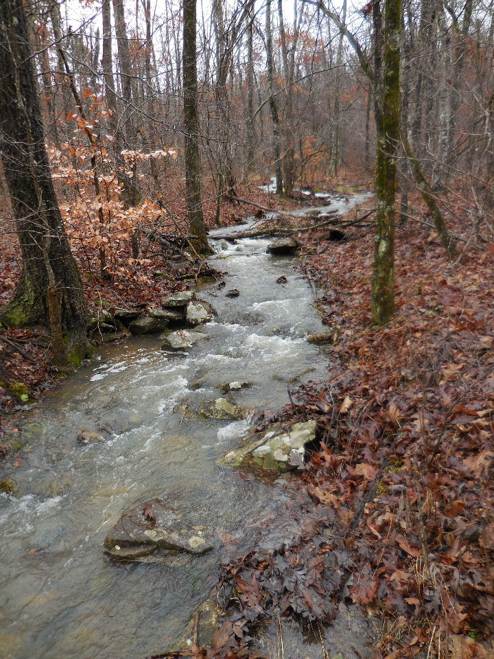
Trail crossing this side creek
35.89565°, 93.19333°
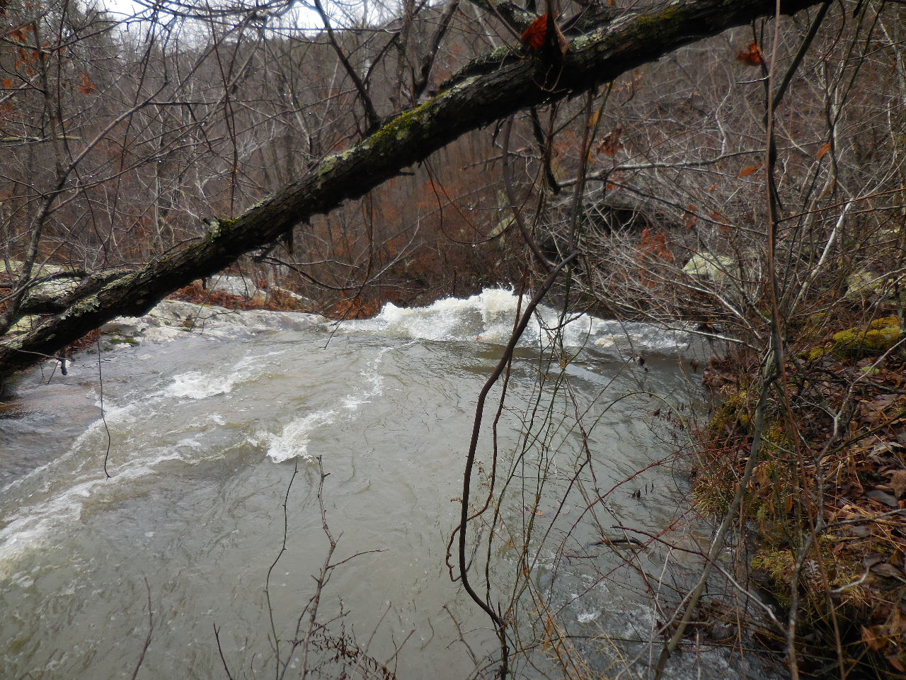
Arriving at top of WF #1 Fern Falls
35.89748°, 93.19250°
(Note: Cross creek before Fern Falls and access
down below the falls on the north side)
Cross above waterfalls at Access Point "C"
38.89722°, 93.19273°
35.89791°, 93.19283°
There is a steep access point to below on
south side of Fern Falls
Access Point "E"
35.89778°, 93.19247°
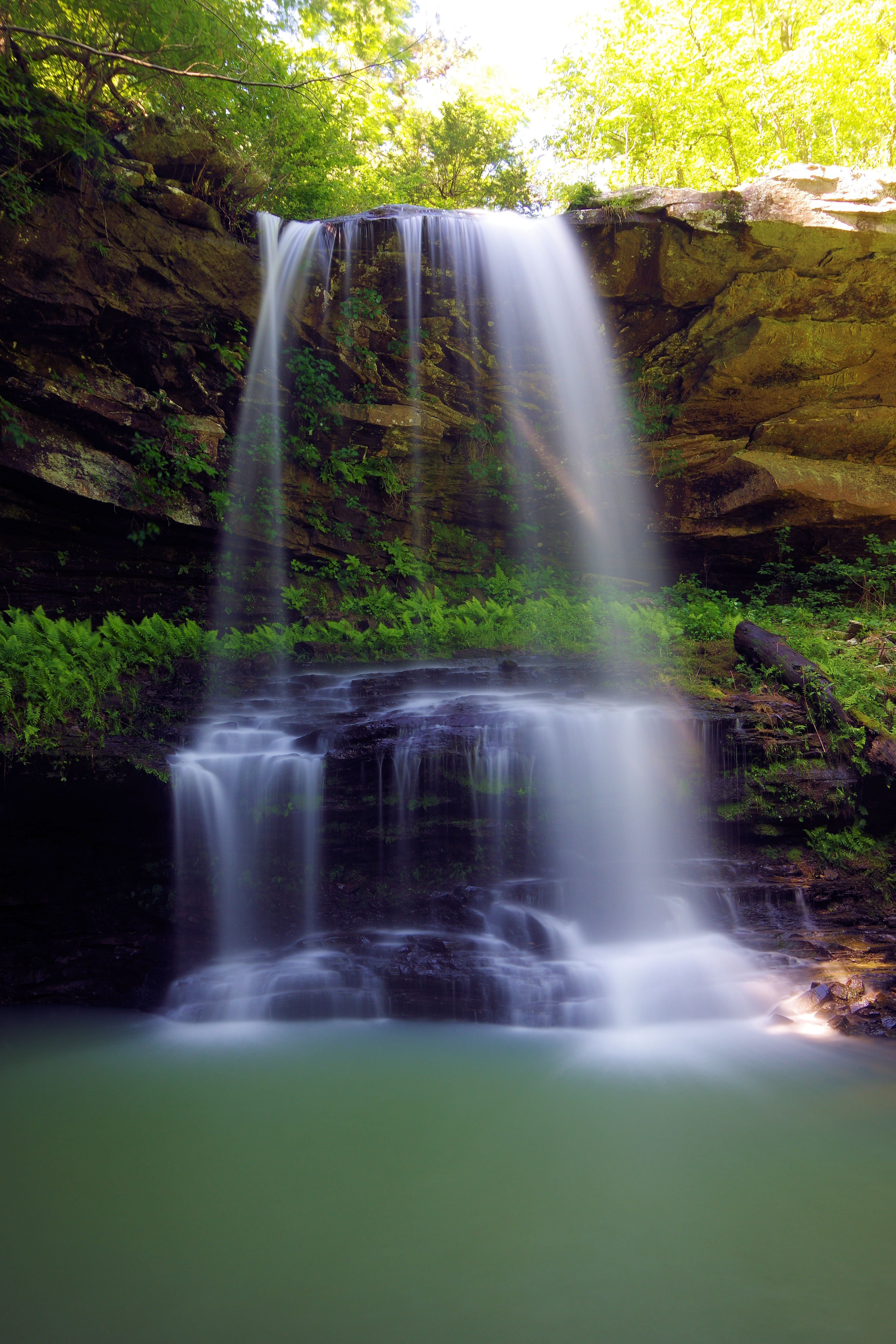
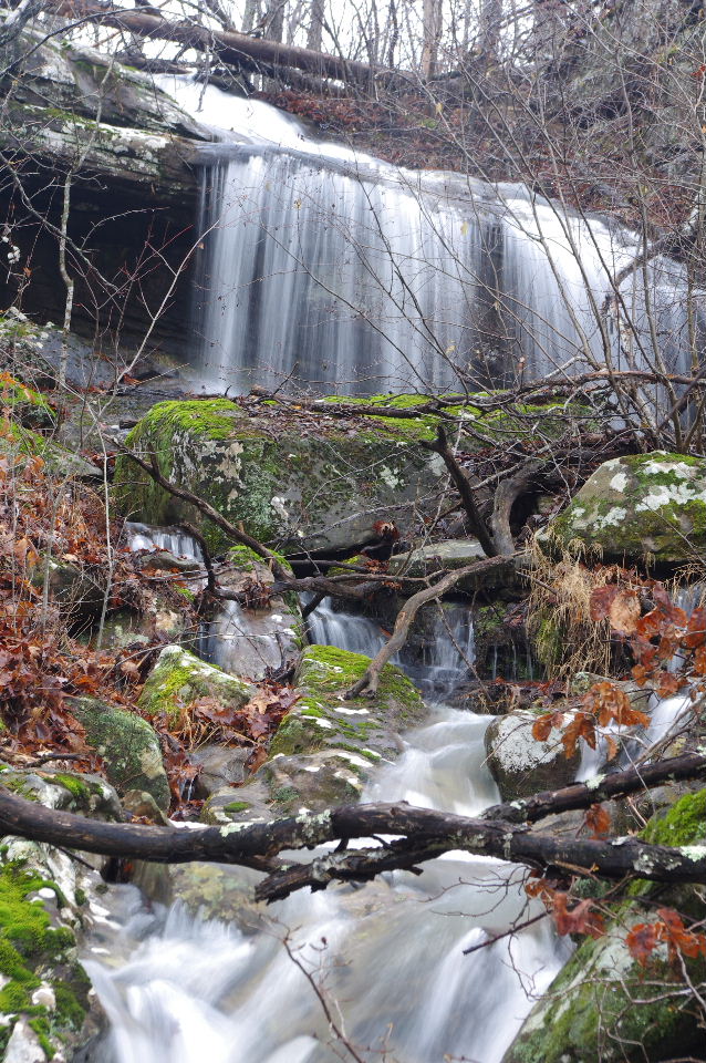
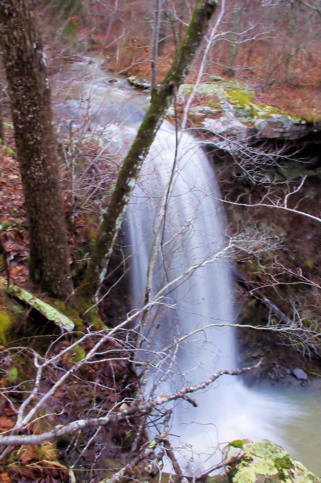
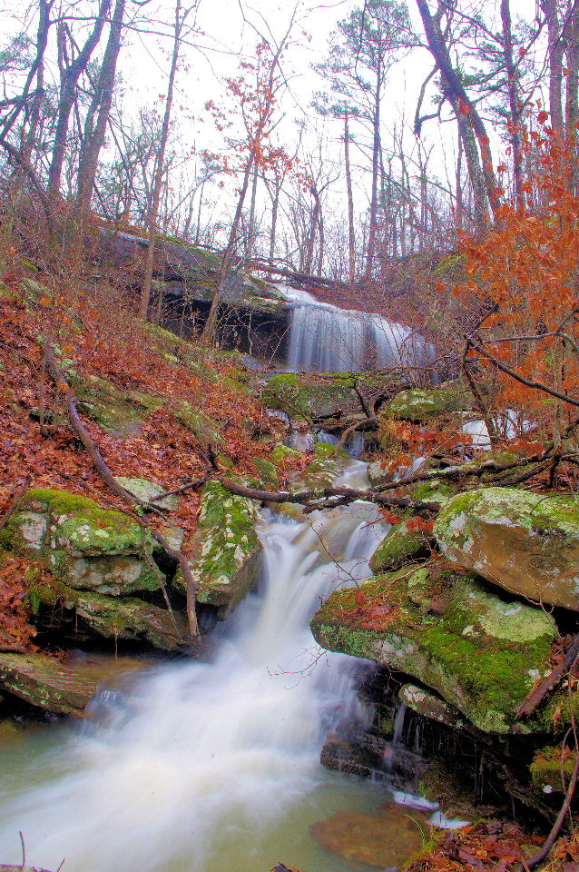
Fern Falls
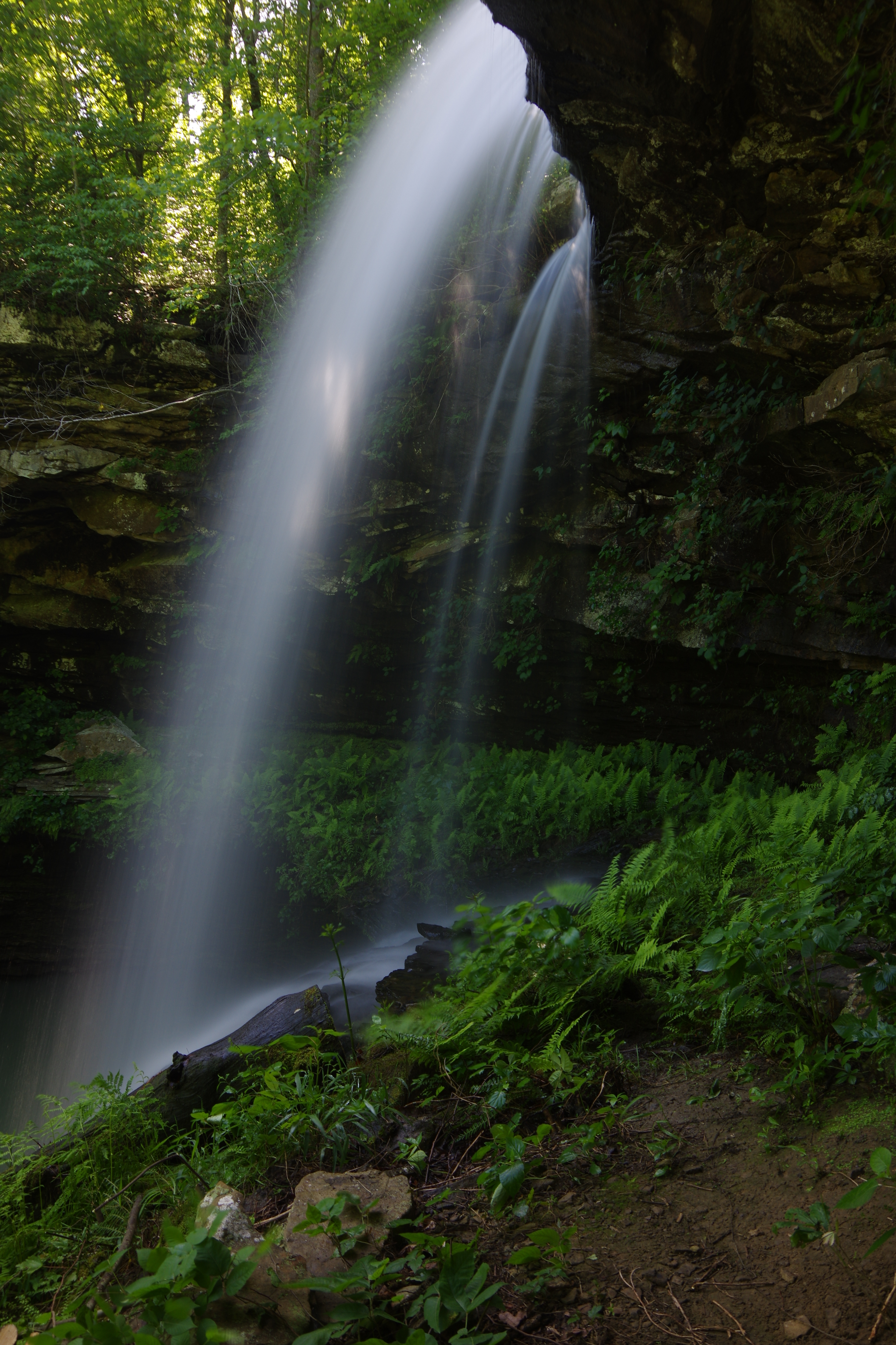
Head on down the trail before going down below
Fern Falls and find this access point down....
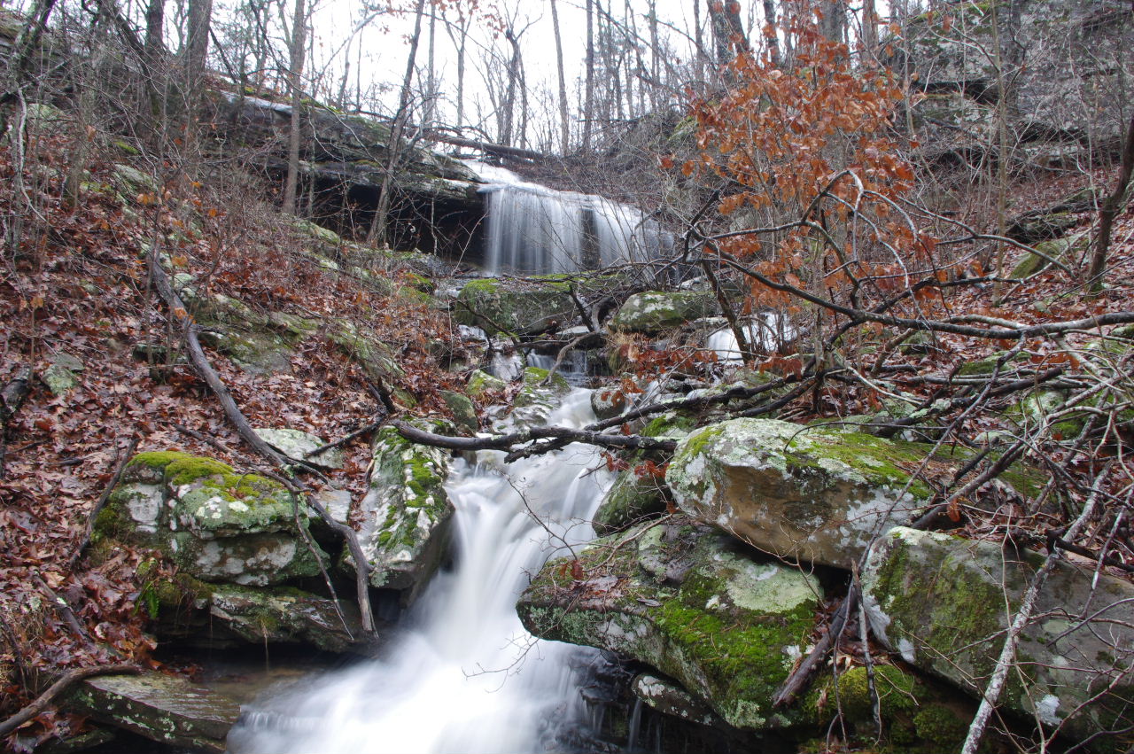
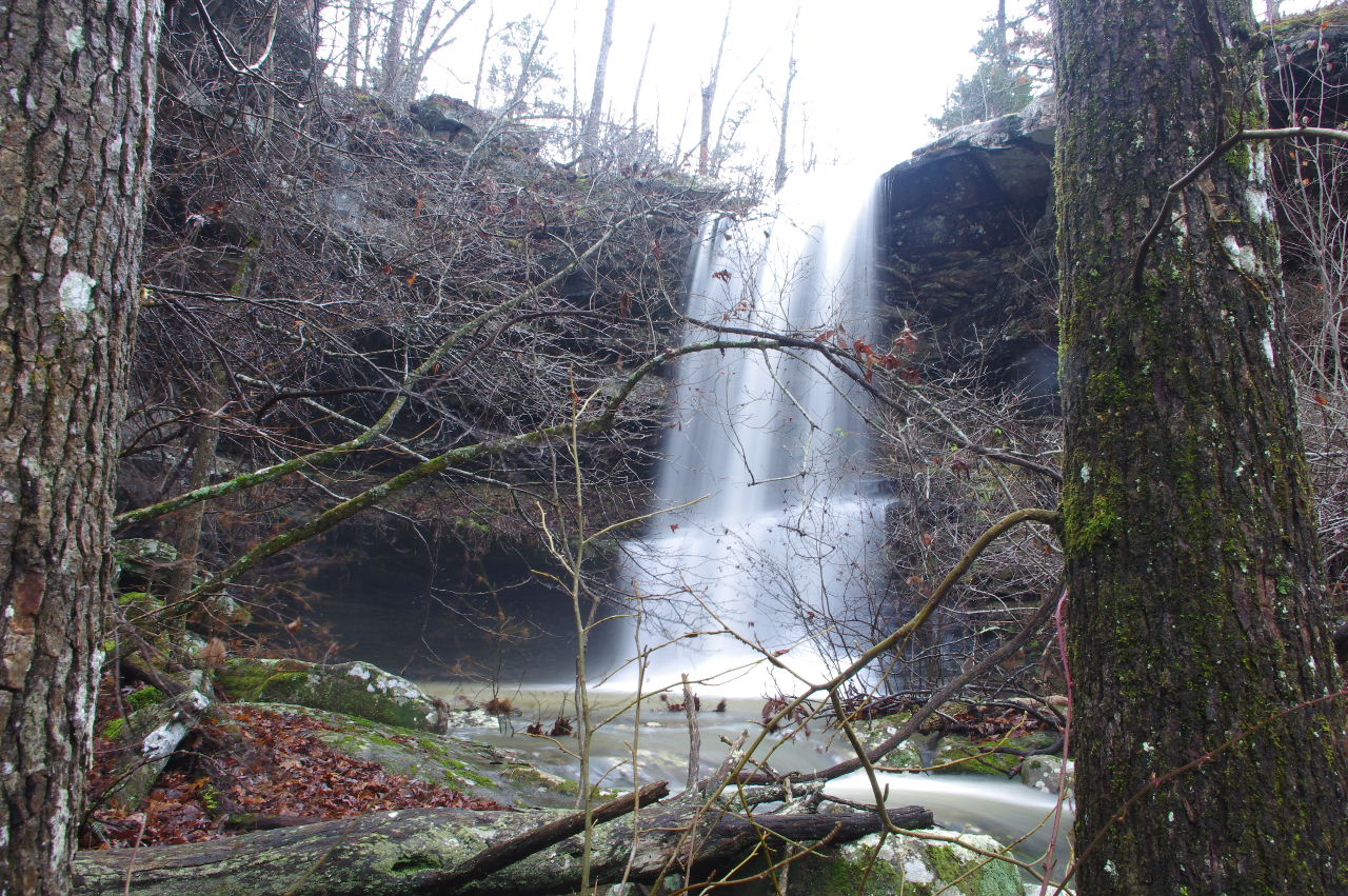
Access Point "F" 35.89894°, 93.19090°
It will lead you to the bottom of this waterfall.
35.89908°, 93.19080°
I named this one WF #2 Scarsdale Falls
since it joins property owned by
Rev. Richard Scarsdale