.jpg)
| TAKAHIK River Valley Hikers |
| Home Scheduled Hikes Pictures Videos Membership Links Trails & Waterfalls Products In Memory Of Scholarships |
| ADKINS CREEK |
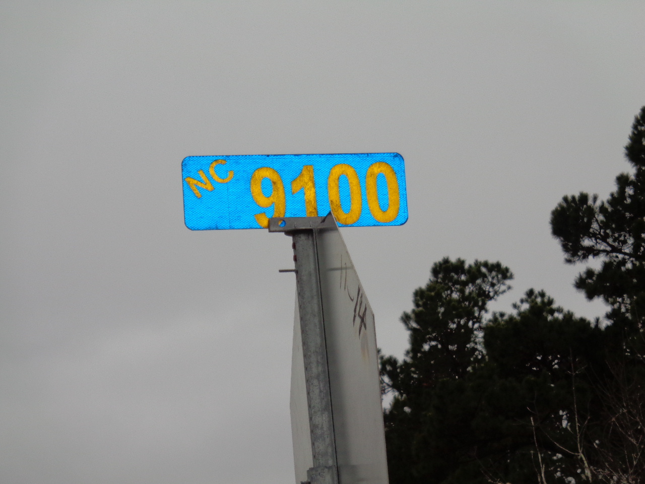 Newton County Road 9100 (FR 1463) 1.3 miles from Fallsville |
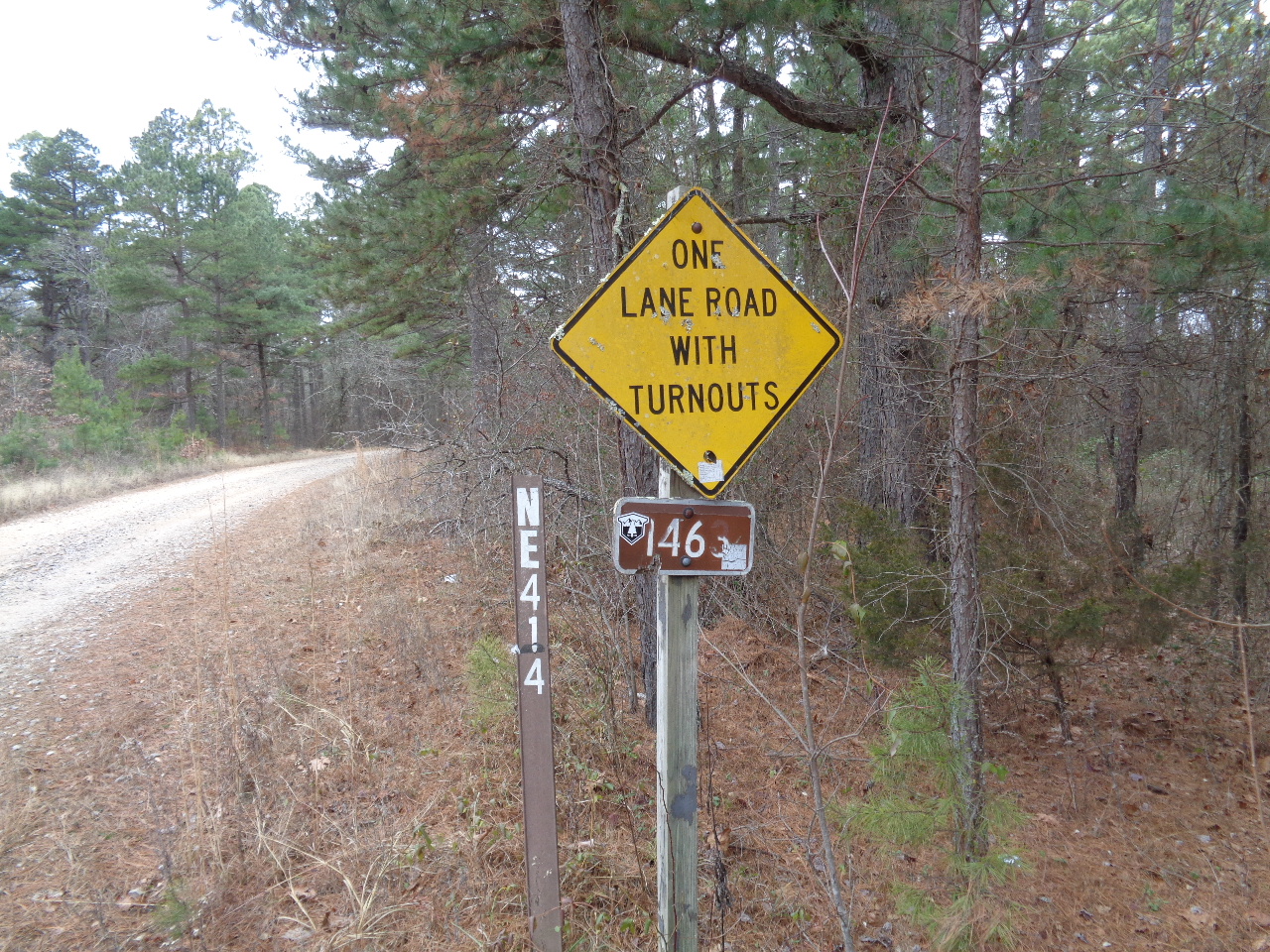 NC 9101 (FR 1463A) (FR 92285C) 1.9 miles from Hwy. 21 |
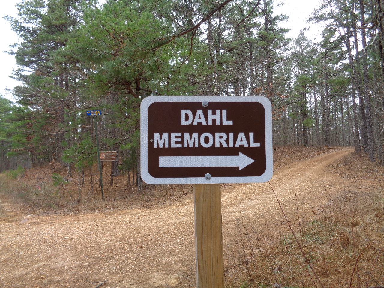 Entrance to Dahl Memorial Trailhead 35.81523°, 93.45060° |
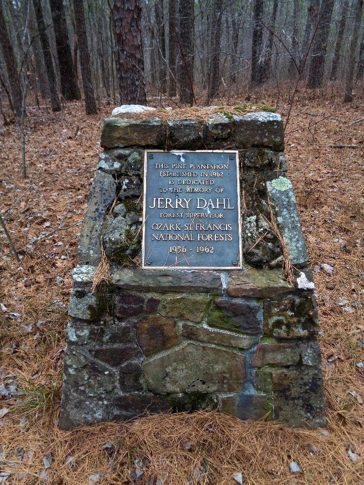 Jerry Dahl Memorial 35.81600°, 93.45068° Located just up NC 9101 a short distance on the left. |
 Parking Area 35.81639°, 93.45005° 0.1 miles from NC 9100 |
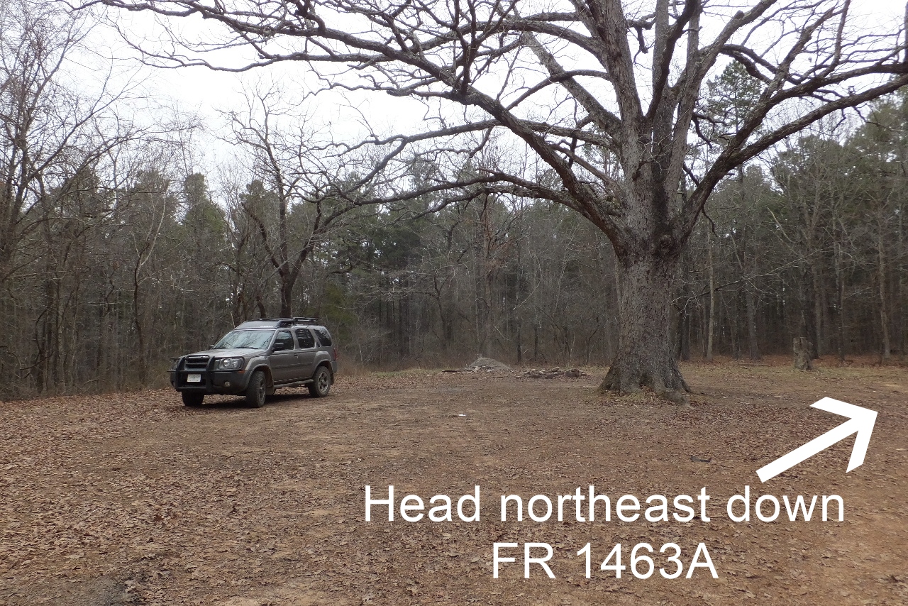 From Parking Area head northeast along old road. You can possibly drive to Access Point "C" |
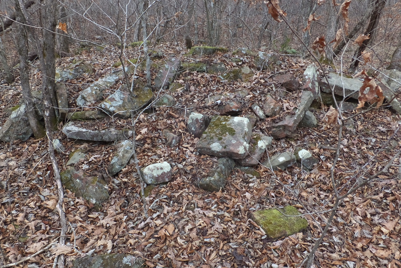
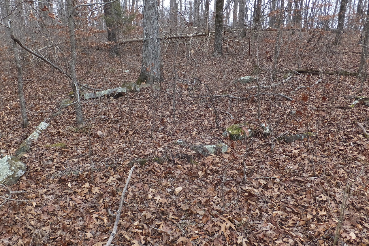 Old rock foundation at homesite 35.82558°, 93.43095° |
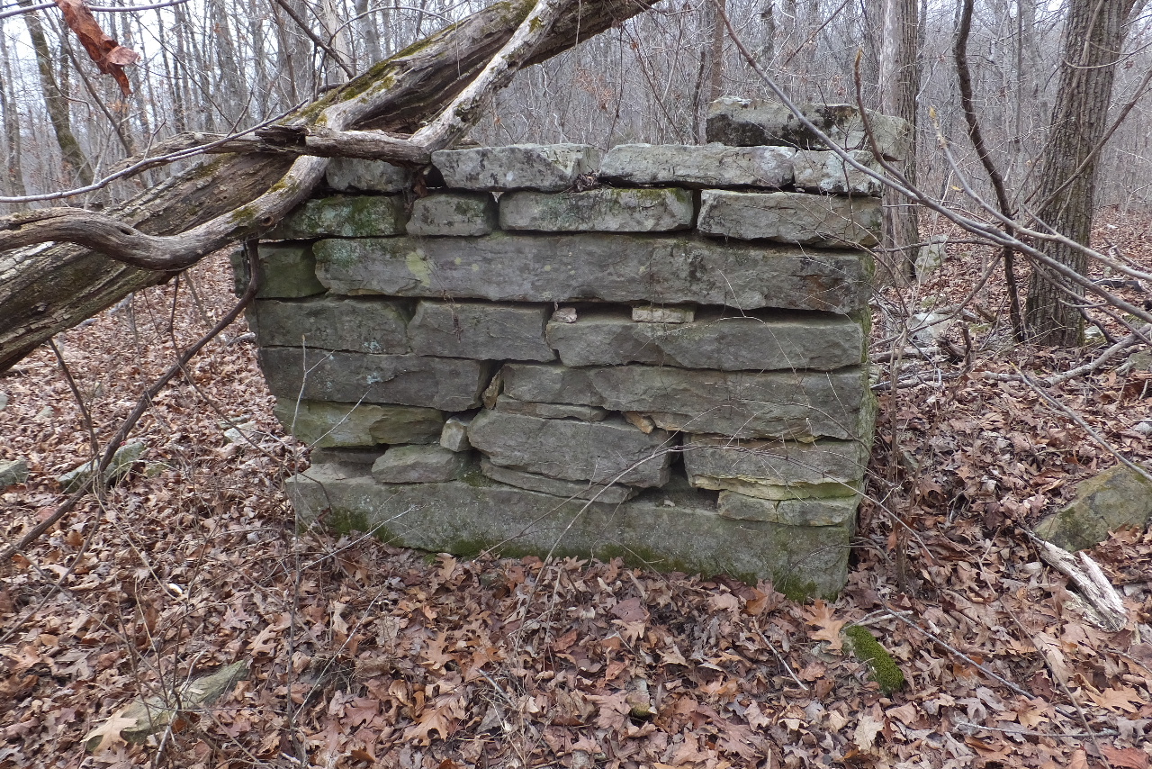 Old chimney at homesite 35.82582°, 93.43033° |
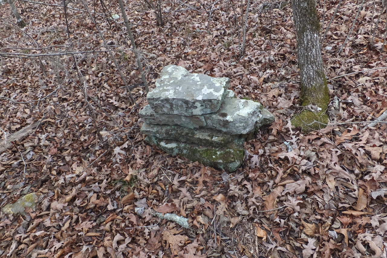
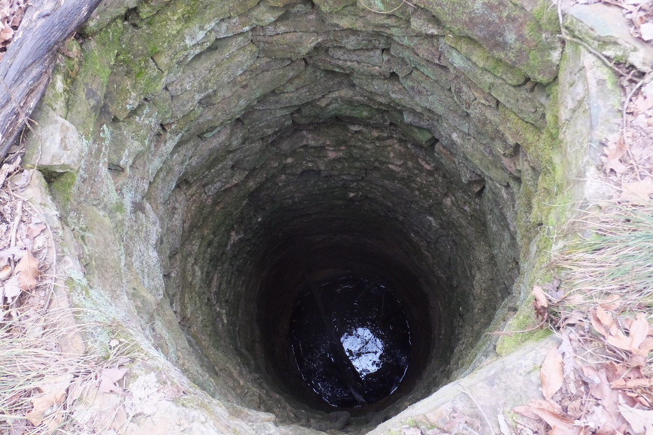 \ \Rock lined old hand dug well at homesite 35.82595°, 93.43052° |
| Access Point
"E" 35.82437°, 93.42742° Access Point "F" 35.82415°, 93.42607° |
||
 From Old Chimney head in a northeastly direction to Access Point "G", which is a rock cairn. Follow ridge downhill as far as you think you need to go before heading over to Access Point "G" on the bluff. Access Point "G" 35.82289°, 93.42688° |
 Geocache GCKRTT Ammo Can located 75 feet above Leaning Log Falls 35.82238°, 93.42678° (As recorded by geocacher) |
 Top of WF #1 Leaning Log Falls 35.82219°, 93.42696° |
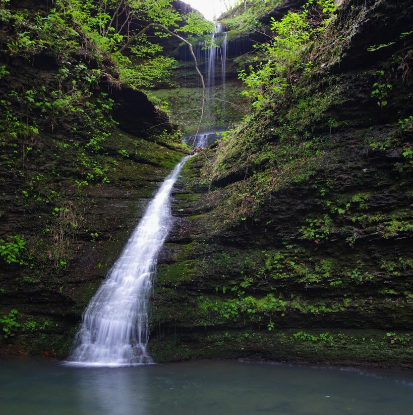
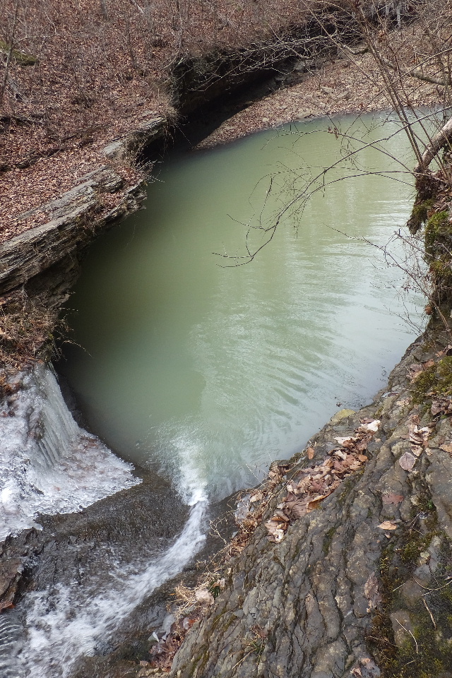
 WF #1 Leaning Log Falls |
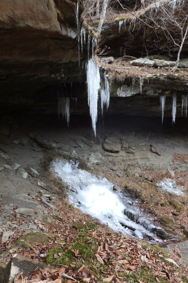 WF #1 Leaning Log Falls |
.jpg) Map of Access Down from Top of WF #1 Access Point "H" 35.82192°, 93.42687° Access Point "I" 35.82191°, 93.42675° Access Point "J" 35.82218°, 93.42638° |
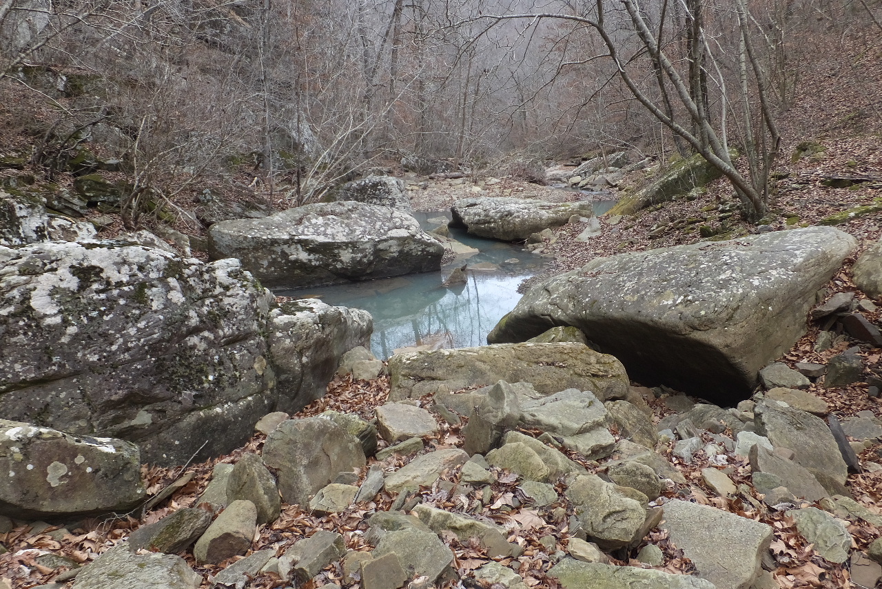 Looking down Adkins Creek towards WF #2 |
 WF #2 Adkins Canyon Falls 35.82321°, 93.42302° Photo by Patrick Caple |
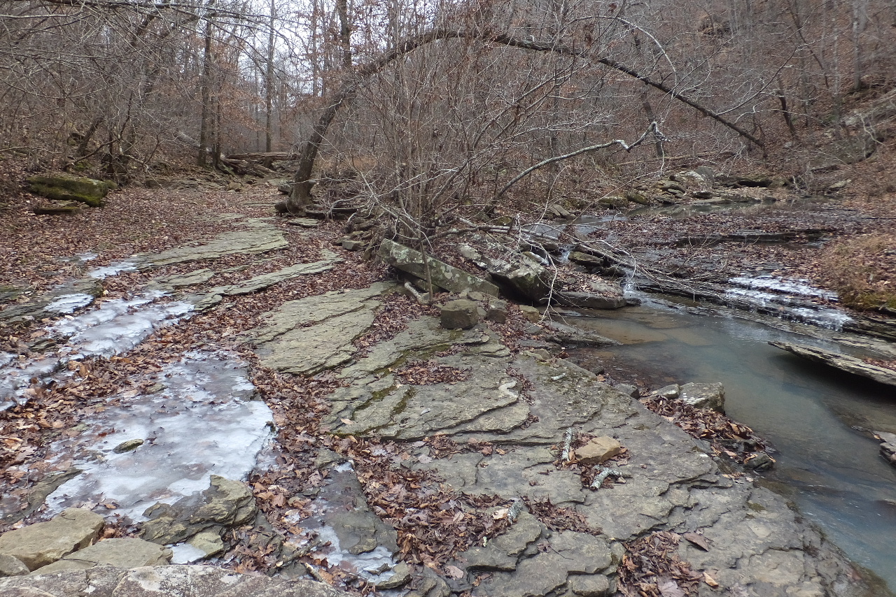
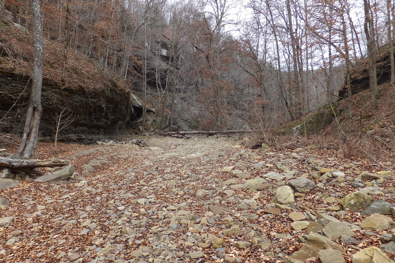 Looking upstream |
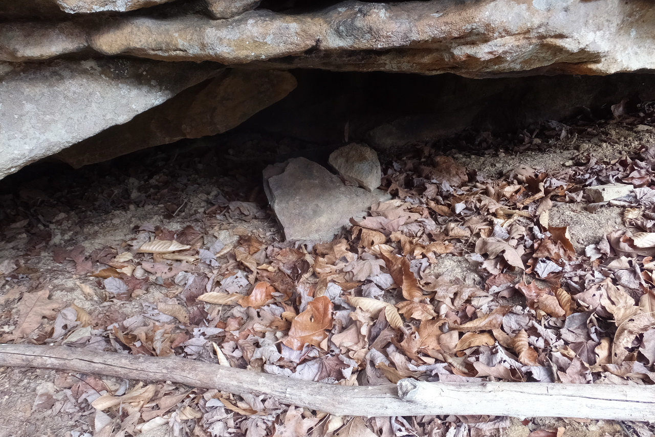
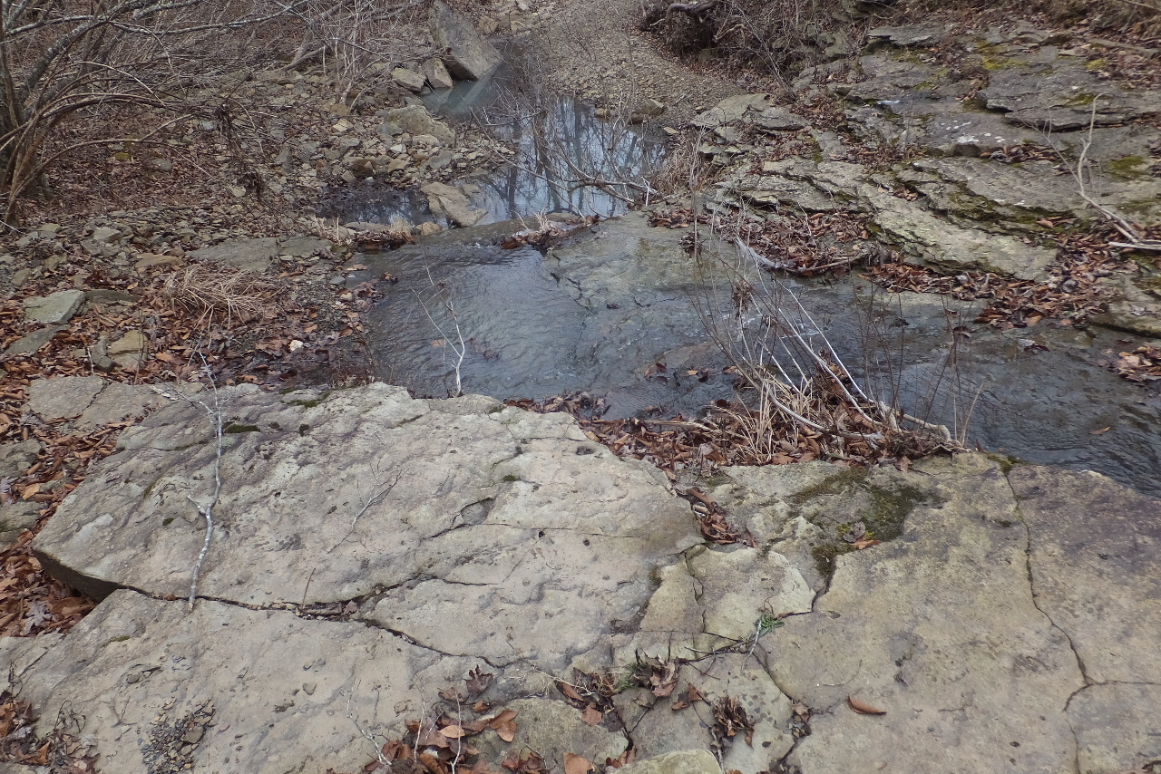
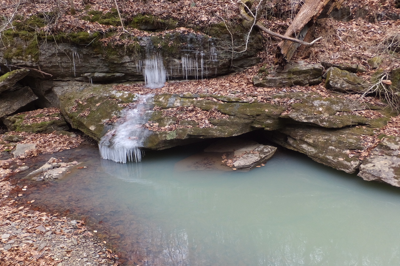 Spring coming from side under this rock. 35.81664°, 93.42813° |
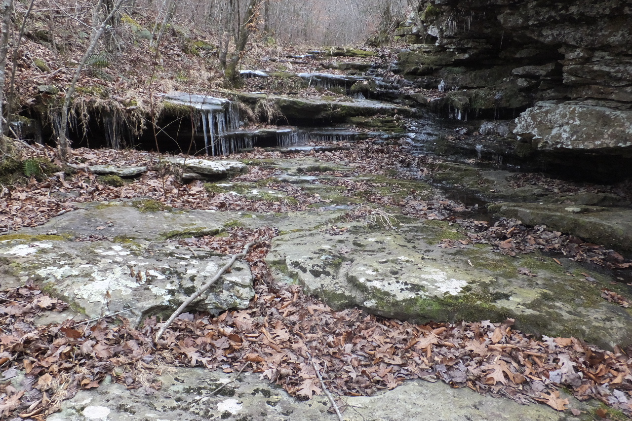
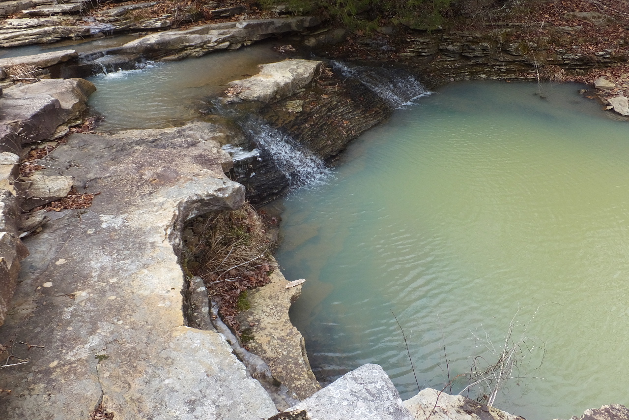
 WF #3 35.81601°, 93.43078° |
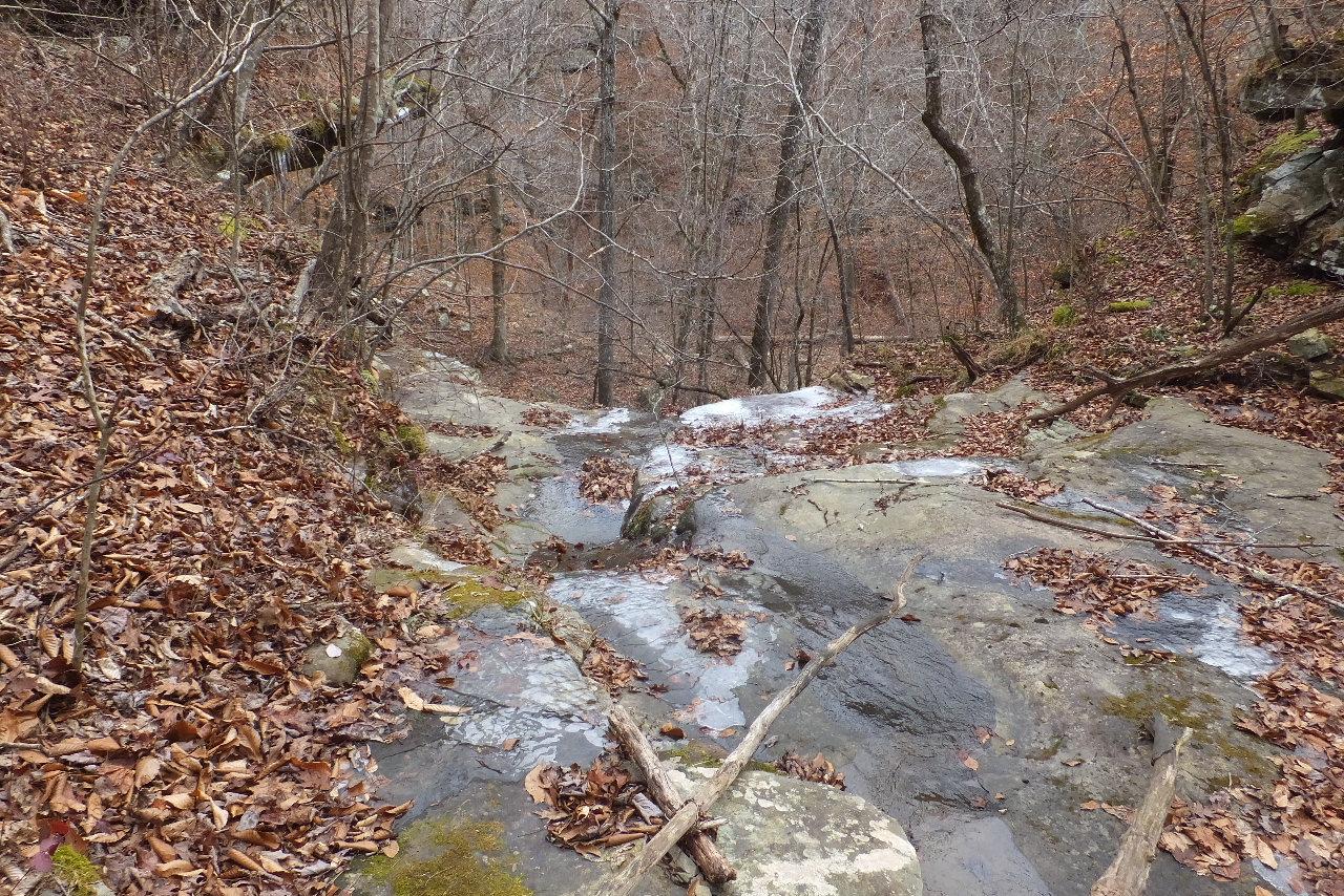
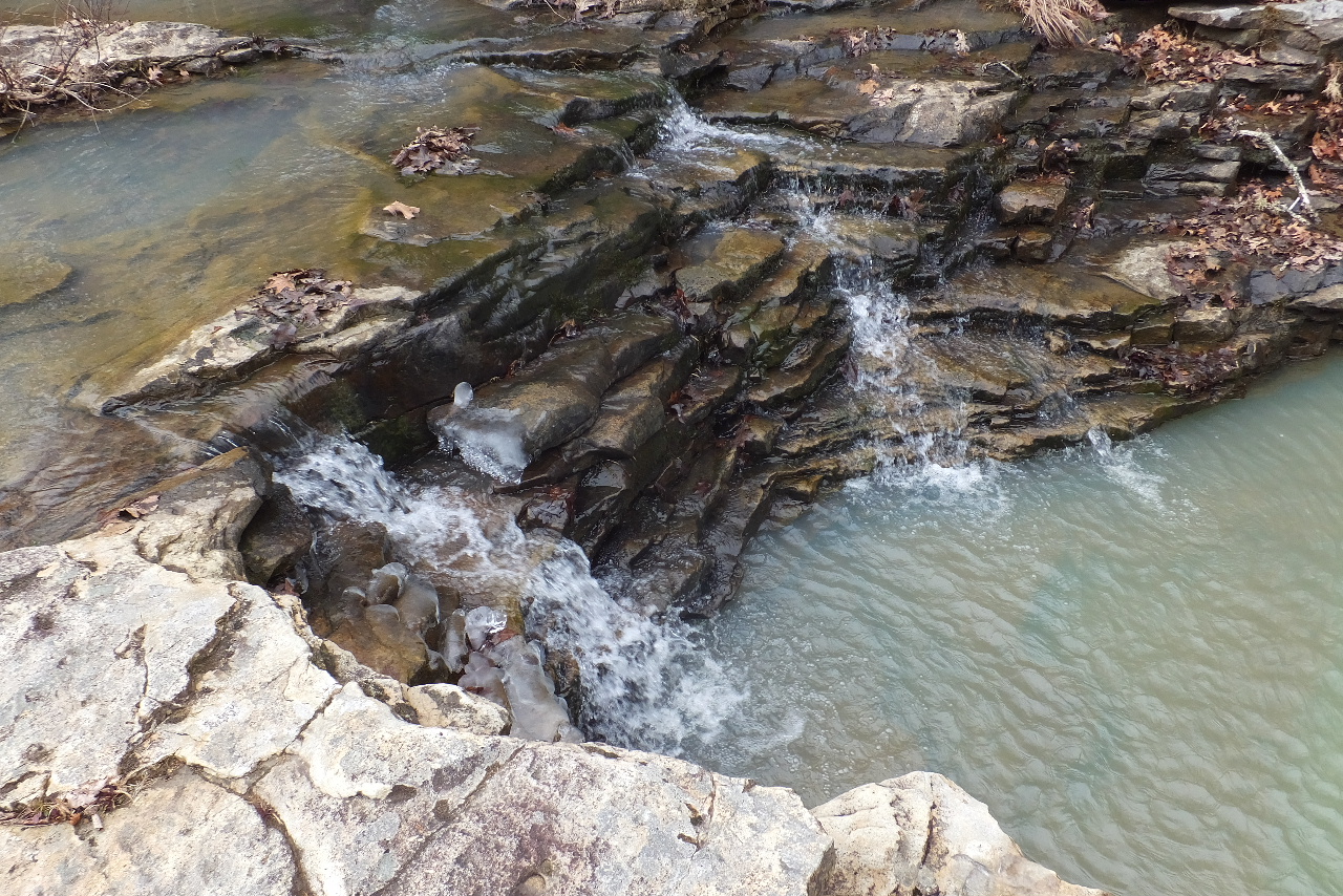
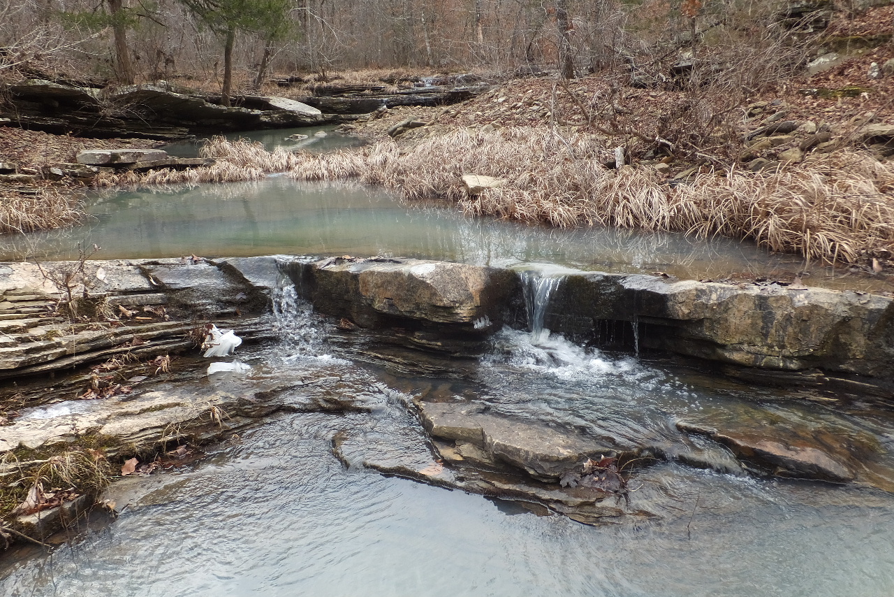
 WF #4 Slide 35.81507°, 93.43311° |
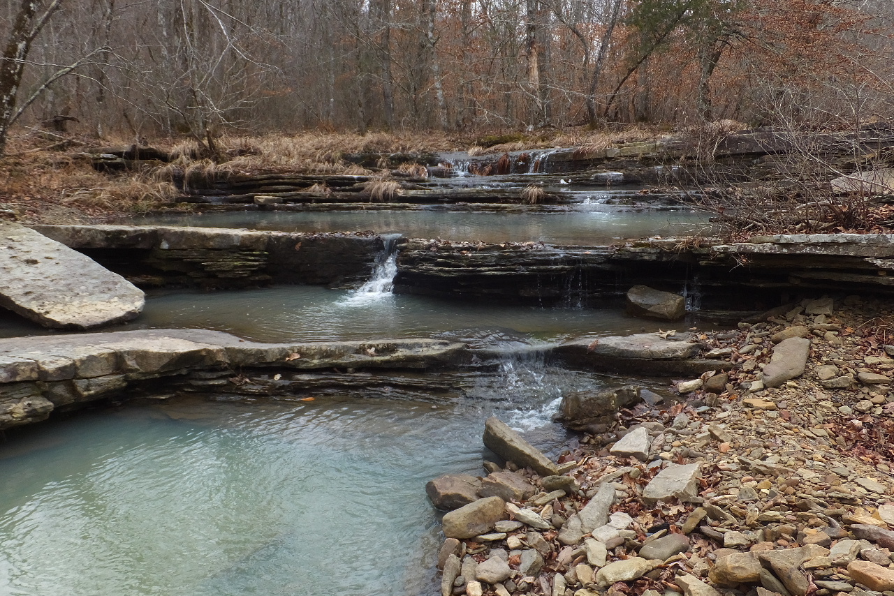
 WF #5 35.81512°, 93.43420° |
 WF #5 on top |
 Up above WF #5 Water comes under this rock |
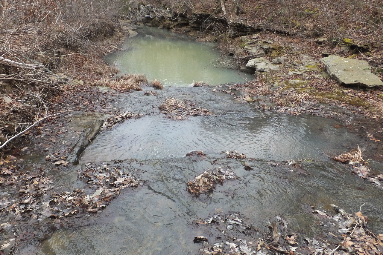
 Fork in creek 35.81487°, 93.43505° |
 WF #6 Side Drainage 35.81391°, 93.43719° |
 WF #7 35.81391°, 93.43743° |
 WF #8 35.81357°, 93.43779° |
 WF #9 35.81333°, 93.43795° |
 WF #10 35.81316°, 93.43811° |
 WF #11 35.81166°, 93.44137° |
 WF #12 35.81155°, 93.44191° |
 Access Point "K" 35.81175°, 93.44171° This is where you leave Adkins Creek and head up the hill towards Parking Area |
 Old Homesite 35.81183°, 93.44147° |
Access Point
"L" 35.81243°, 93.44353° Access Point "M" 35.81275°, 93.44577° Access Point "N" 35.81427°, 93.44713° All of the above point are in old roadbed |
Access Point
"O" 35.81513°, 93.44842° (White flagging in old roadbed) This is where you leave old roadbed and head to Parking Area |